The best walks and hikes around Carolei
4.7
(62)
458
hikers
38
hikes
Hiking around Carolei offers access to the mountainous terrain of the Cosentine Serre in Calabria, Italy. The region is characterized by spectacular mountains, dense forests, and a network of trails. Hikers can explore areas featuring dolomitic formations, such as Monte Cocuzzo, the highest peak of the Coastal Chain. The landscape includes lush forests, valleys, and picturesque views, providing varied environments for outdoor activities.
Best hiking trails around Carolei
- The most popular hiking route is From Casello Forestale to Monte Cocuzzo…
Last updated: July 8, 2026
4.7
(13)
72
hikers
6.20km
02:00
280m
280m
Embark on a moderate hike from Casello Forestale to Monte Cocuzzo, covering 3.9 miles (6.2 km) with an elevation gain of 915 feet (279 metres) over approximately 2 hours. This…
4.8
(16)
76
hikers
7.18km
02:22
350m
350m
Moderate hike. Good fitness required. Easily-accessible paths. Suitable for all skill levels.

Sign up for free
4.1
(8)
20
hikers
9.86km
03:22
510m
510m
Moderate hike. Good fitness required. Easily-accessible paths. Suitable for all skill levels.
28
hikers
6.50km
01:40
30m
30m
Easy hike. Great for any fitness level. Easily-accessible paths. Suitable for all skill levels.
5.0
(2)
19
hikers
12.7km
03:57
490m
490m
Moderate hike. Good fitness required. Easily-accessible paths. Suitable for all skill levels.
Get access to more routes and recommendations from other explorers.
Sign up for free
Already have an account?
Our route recommendations are based on thousands of hikes, rides, and runs completed by other people on komoot.
Start today with a free account
Your next adventure awaits.
Login or Signup

Tips from the Community

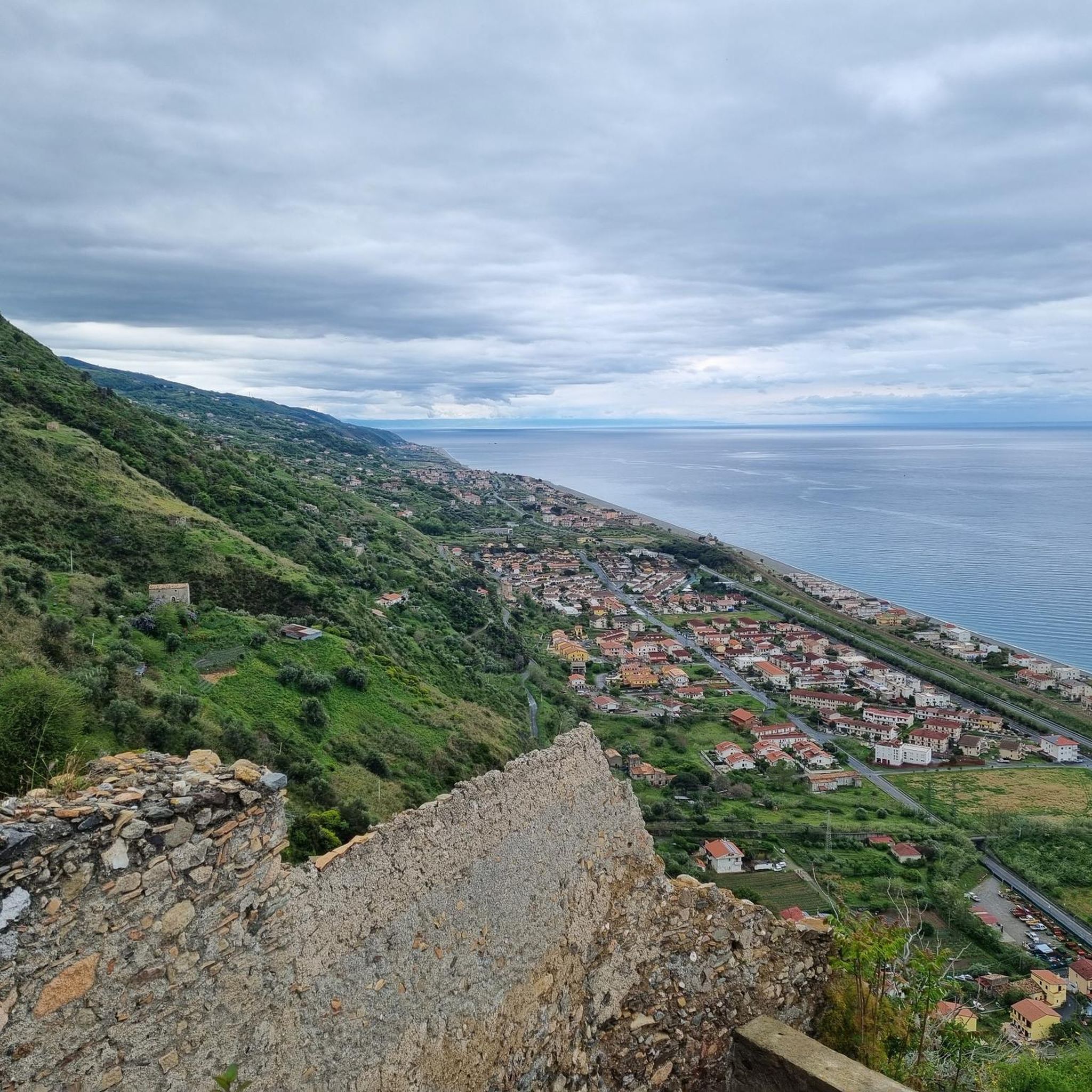
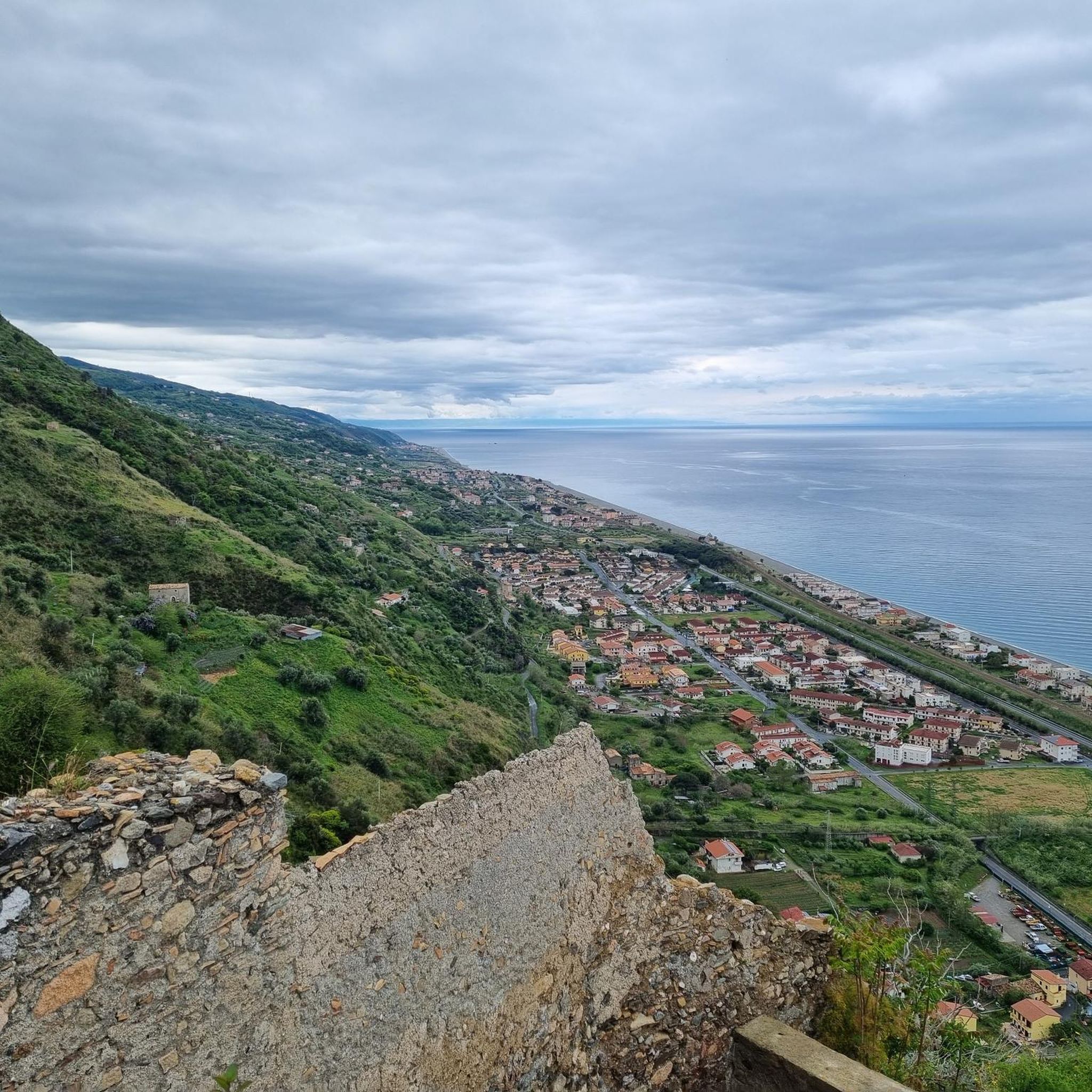
Just before the last stretch to reach Mount Cocuzzo, an excellent view of the Tyrrhenian Sea.
1
0
The highest of the Coast Range Mountains. Save some legs for the last snatch!
1
0

Simple path but that needs breath. Beware of the dogs that guard the goats, I do not recommend the walk accompanied by an animal.
0
0

This forest tollbooth is located under the slopes of Monte Cocuzzo. There are some picnic tables. If you want to have a unique experience, I suggest you climb to the top of the mountain to admire the sunset.
2
0

Monte Cocuzzo, with its 1541 meters, is the highest peak of the Coastal Chain. The shape reminds a volcano, however today scholars think that it is a mountain of dolomitic formation.
4
0

Highest peak of the Calabrian coastal chain with a breathtaking 360 ° panorama. Some short sections that cannot be pedaled, bumpy ground with stones.
0
0
Frequently Asked Questions
What kind of hiking trails can I expect around Carolei?
Carolei is nestled within the mountainous Cosentine Serre region of Calabria, offering a diverse range of hiking experiences. You'll find trails characterized by spectacular mountains, dense forests, and significant elevation changes. The area provides options from easier walks to more challenging ascents, often leading to panoramic viewpoints.
How many hiking trails are available in the Carolei area?
There are over 30 hiking trails available around Carolei, catering to various skill levels. This includes 16 easy routes, 15 moderate routes, and 1 difficult route, ensuring there's something for every hiker.
Are there any easy hiking trails suitable for beginners or a relaxed walk?
Yes, about half of the trails around Carolei are rated as easy. For a relatively flat and accessible option, consider the Bridge over the Campagnano loop from Cosenza Campanella. This 4-mile (6.5 km) route has minimal elevation gain and takes about 2 hours to complete.
What are the best times of year to go hiking near Carolei?
The best times for hiking around Carolei are generally spring and autumn when the weather is mild and the landscapes are vibrant. Summer can be hot, especially at lower elevations, but higher mountain trails like those on Monte Cocuzzo can offer cooler temperatures. Winter hiking is possible, particularly on lower trails, but higher altitudes may require appropriate gear for snow and ice.
Are there any circular hiking routes around Carolei?
Yes, many trails in the area are circular, allowing you to start and end at the same point. A popular moderate circular route is the Hiking loop from Monte Cocuzzo, which covers 4.5 miles (7.2 km) and offers excellent views around the Monte Cocuzzo area.
What natural landmarks or viewpoints can I discover on hikes near Carolei?
Hiking around Carolei offers access to several notable natural landmarks and stunning viewpoints. The most prominent is Monte Cocuzzo, the highest peak of the Coastal Chain, which provides breathtaking panoramic views. You can also find other peaks like Monte Pietraferruggia and Croce della Crocetta, offering diverse perspectives of the Cosentine Serre and Crati Valley.
Are there any family-friendly hiking options around Carolei?
While many trails involve some elevation, there are easier routes suitable for families. Look for trails marked as 'easy' in the komoot guide. These typically have shorter distances and less challenging ascents, allowing for an enjoyable outing with children. The region's dense forests also offer plenty of shade for pleasant walks.
What do other hikers say about the trails in Carolei?
The hiking trails around Carolei are highly regarded by the komoot community, boasting an average rating of 4.7 out of 5 stars from over 50 reviews. Hikers frequently praise the stunning mountainous landscapes, the tranquility of the dense forests, and the rewarding views from peaks like Monte Cocuzzo.
Can I access hiking trails near Carolei using public transport?
While Carolei itself is a small mountain town, public transport options to trailheads can be limited. It's often recommended to have a car for convenient access to the more remote hiking starting points. However, some routes might be accessible from nearby larger towns like Cosenza, which has better public transport connections. Always check local bus schedules for specific routes.
Are there any historical or cultural attractions to visit near the hiking areas?
Absolutely. Beyond the natural beauty, you can explore the Historic Center of Cosenza, which is a short distance from Carolei. This charming old town offers a glimpse into the region's rich history and culture. You can also visit the Diocesan Museum of Cosenza for historical artifacts.
What is the highest point I can reach on a hike near Carolei?
The highest point you can reach on a hike near Carolei is the summit of Monte Cocuzzo, which stands at 1541 meters (5056 feet). This dolomitic formation offers challenging yet rewarding routes, such as the Mountain Summit – Monte Cocuzzo loop from Monte Cocuzzo, providing incredible views from the top.
Are dogs allowed on the hiking trails around Carolei?
Generally, dogs are allowed on hiking trails in the Carolei area, especially in national and regional parks like the Sila National Park and Serre Regional Natural Park, provided they are kept on a leash and owners adhere to responsible pet ownership guidelines. Always ensure you clean up after your dog and respect local wildlife. Specific regulations might apply in certain protected areas, so it's advisable to check local signage.
Most popular attractions around Carolei

Get inspired with the komoot mobile app


Explore more
Browse the best Hikes in other regions.
