The best walks and hikes around Santo Stefano Di Rogliano
4.5
(54)
188
hikers
19
hikes
Hiking trails around Santo Stefano Di Rogliano are situated in the middle valley of the Savuto river, offering access to diverse landscapes. The region is characterized by its proximity to the Sila National Park, featuring lush forests, mountains, and serene lakes. Hikers can explore varied terrain, from river valleys to higher elevations within the national park.
Best hiking trails around Santo Stefano Di Rogliano
- The most popular hiking route is From Monte Botte Donato to Monte Sorbello – Sila National…
Last updated: July 8, 2026
3.0
(2)
6
hikers
Hard hike. Good fitness required. Sure-footedness, sturdy shoes and alpine experience required.
14
hikers
15.4km
05:53
640m
640m
Hard hike. Very good fitness required. Mostly accessible paths. Sure-footedness required.

Sign up for free
5.0
(2)
8
hikers
Moderate hike. Great for any fitness level. Mostly accessible paths. Sure-footedness required.
2
hikers
Moderate hike. Good fitness required. Mostly accessible paths. Sure-footedness required.
4.5
(6)
9
hikers
10.6km
04:04
530m
530m
Moderate hike. Good fitness required. Mostly accessible paths. Sure-footedness required.
Get access to more routes and recommendations from other explorers.
Sign up for free
Already have an account?
Our route recommendations are based on thousands of hikes, rides, and runs completed by other people on komoot.
Start today with a free account
Your next adventure awaits.
Login or Signup
Popular around Santo Stefano Di Rogliano

Tips from the Community

the little church, usually closed, is located at the top of the Vette road, near the Botte Donato refuge and the cable car
0
0
From the summit of Mount Botte Donato
1
0

6/25 2.-€ per hour or 10€ per day
0
0

with the snow it's beautiful
0
0

Starting point for many adventures, not only by bike
1
0

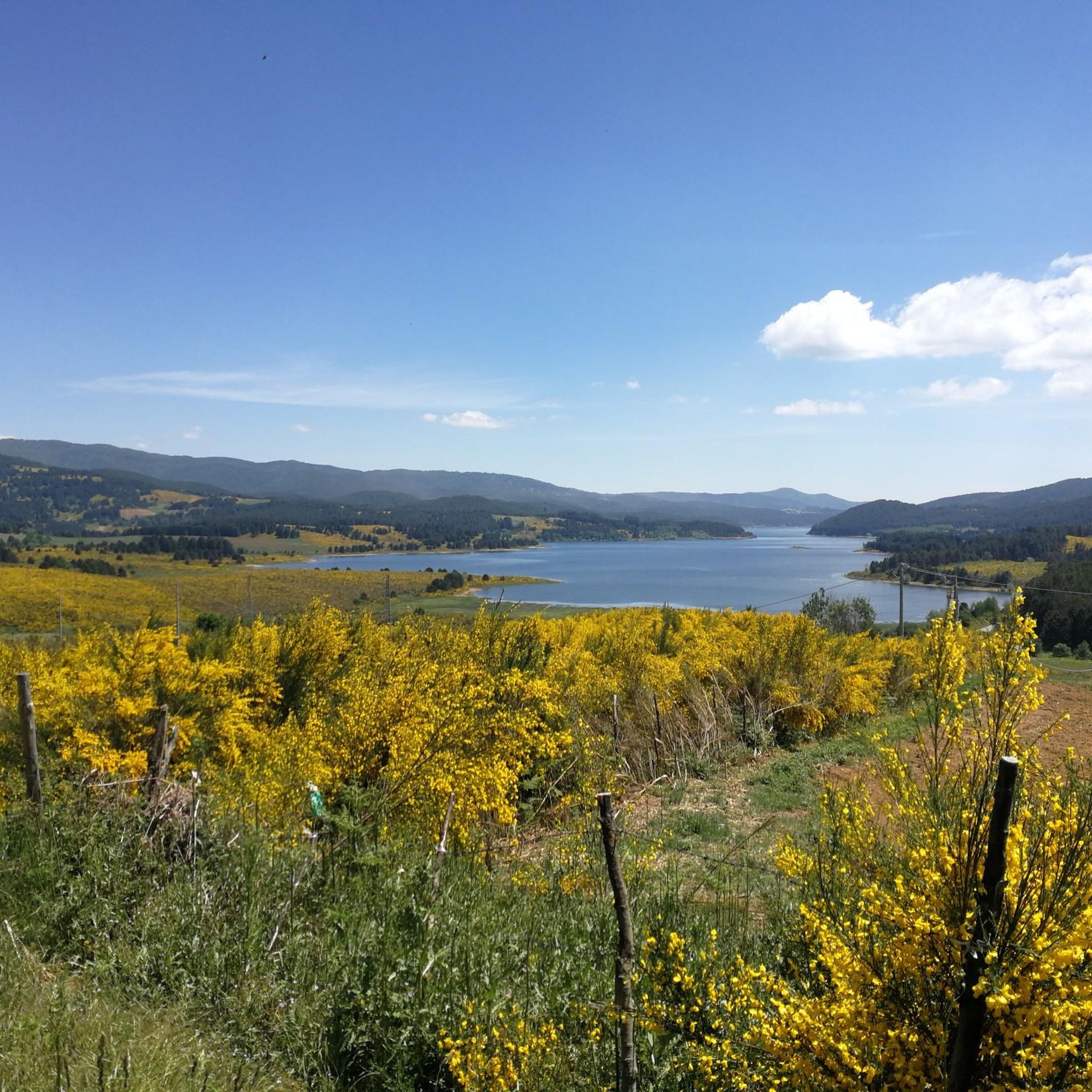
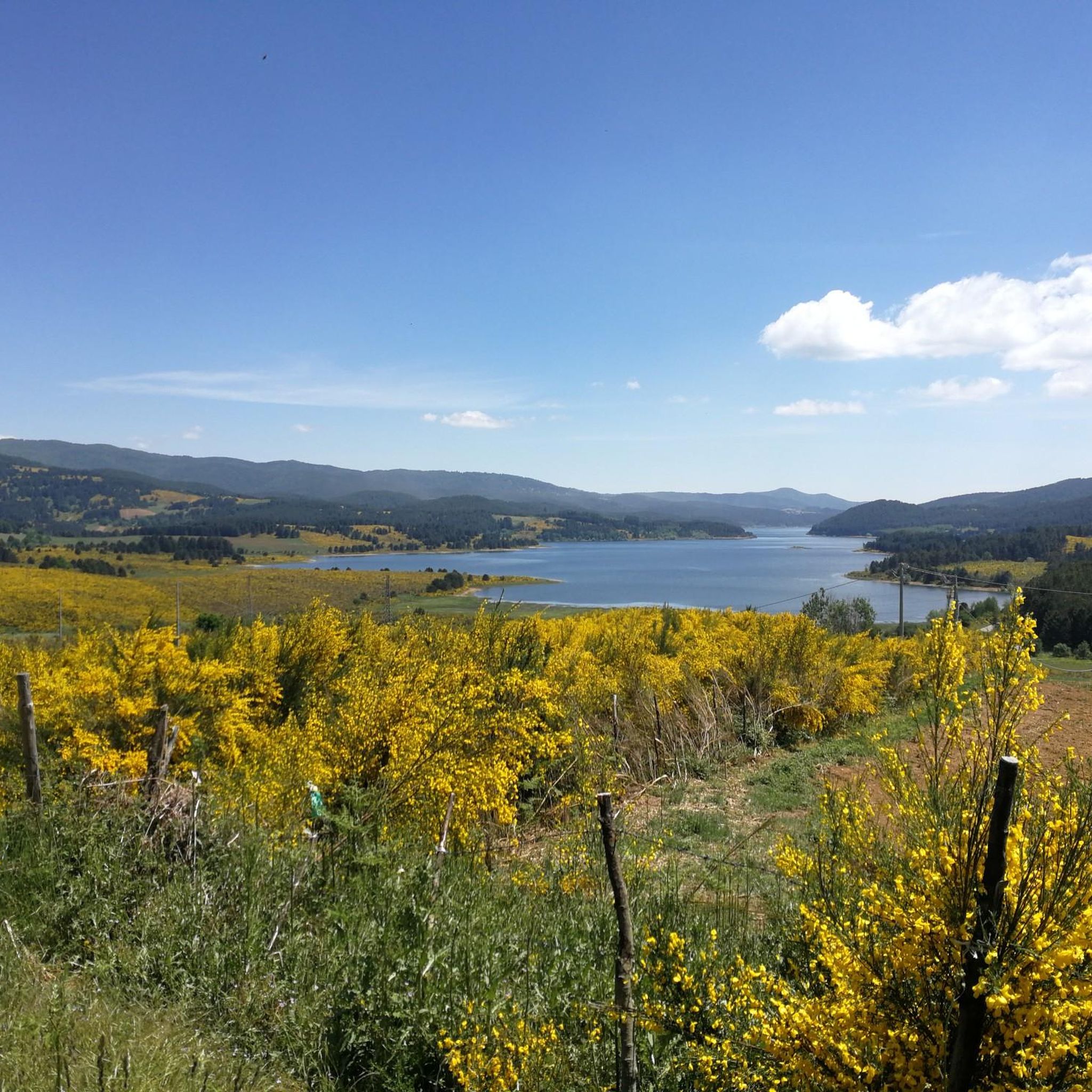
Tourist resort with its beautiful lake in the Sila national park. Not to be missed
0
0
fountain of very fresh water near the cable car and the refuge/bar
2
0
Lorica comes alive especially in summer thanks to the many activities on the lake
2
0
Frequently Asked Questions
How many hiking trails are available around Santo Stefano Di Rogliano?
There are over 18 hiking routes in the Santo Stefano Di Rogliano area. These include 12 moderate trails and 6 more challenging routes, offering diverse options for different fitness levels.
What kind of landscapes will I encounter on hikes near Santo Stefano Di Rogliano?
The region offers a diverse range of landscapes, from the middle valley of the Savuto river to the extensive Sila National Park. You can expect lush forests, mountainous terrain, and serene lakes, particularly around Lorica and Lake Arvo.
Are there any family-friendly hiking trails in the area?
While there are no trails specifically categorized as 'easy' in our guide, some moderate routes around Lake Arvo, such as the The Terrace on Lake Arvo – Lakeshore of Lago Arvo loop, might be suitable for families with good fitness levels. These trails offer relatively shorter distances and less elevation gain.
Can I find circular hiking routes near Santo Stefano Di Rogliano?
Yes, several circular routes are available. For a challenging experience, consider the From Monte Botte Donato to Monte Sorbello – Sila National Park – ring tour. For a moderate option with lake views, the Lorica and Lake Arvo – Lorica lakeside promenade loop is a great choice.
What are some notable natural features or landmarks to see while hiking?
Hikers can explore the stunning Lorica and Lake Arvo, offering tranquil lakeside paths. For those seeking higher elevations, Monte Botte Donato provides challenging climbs and panoramic views. You might also discover the Cannavina Waterfalls.
What is the best season for hiking around Santo Stefano Di Rogliano?
The Sila National Park, which is easily accessible from Santo Stefano Di Rogliano, is generally best explored from late spring through early autumn (May to October) when the weather is mild and trails are clear. Summer offers lush greenery, while autumn brings vibrant foliage.
Are there any dog-friendly trails in the Santo Stefano Di Rogliano area?
Many trails within the Sila National Park and surrounding areas are generally dog-friendly, provided dogs are kept on a leash and owners adhere to park regulations. It's always recommended to check specific trail rules before heading out.
What do other hikers enjoy most about hiking in Santo Stefano Di Rogliano?
The area is highly rated by the komoot community, with an average score of 4.6 stars from over 30 reviews. Reviewers often praise the diverse natural beauty, from serene lake views to challenging mountain ascents, and the well-maintained paths within the Sila National Park.
Are there any places to eat or get refreshments near the hiking trails?
While specific cafes directly on trails are rare, the town of Santo Stefano Di Rogliano itself offers local cafes and restaurants. Additionally, the area around Lorica, near Lake Arvo, provides options for refreshments and meals after your hike.
What is the typical difficulty level of hikes in this region?
The hiking trails around Santo Stefano Di Rogliano offer a range of difficulties. You'll find 12 moderate routes, which are suitable for those with good fitness, and 6 difficult routes, which require more experience and sturdy footwear, often involving significant elevation changes.
Is public transport available to reach hiking trailheads from Santo Stefano Di Rogliano?
Public transport options to specific trailheads within the Sila National Park can be limited. It is often more convenient to reach many starting points by car. However, local bus services might connect Santo Stefano Di Rogliano to larger towns from which further connections could be made to the park's main access points like Lorica.
Where can I park my car when accessing hiking trails?
Parking is generally available at key access points to the Sila National Park, such as near Lorica and Lake Arvo, and at the start of popular routes like those leading to Monte Botte Donato. Look for designated parking areas at visitor centers or trailheads.
Most popular attractions around Santo Stefano Di Rogliano

Get inspired with the komoot mobile app


Explore more
Browse the best Hikes in other regions.
