The best walks and hikes around Porza
4.6
(4676)
31,166
hikers
651
hikes
Hiking around Porza, located in the Lugano district of Ticino, Switzerland, presents a varied terrain for outdoor enthusiasts. The region features accessible trails with diverse elevation, from gentle paths near Lake Lugano to more challenging routes in the foothills of mountains like Monte San Salvatore. The terrain and elevation of hikes near Porza Lugano are characterized by a mix of woodlands and open areas, catering to different hiking abilities.
Best hiking trails around Porza
- The most popular hiking route is…
Last updated: July 1, 2026
9
hikers
10.0km
02:56
270m
270m
Moderate hike. Good fitness required. Easily-accessible paths. Suitable for all skill levels.
4.0
(2)
27
hikers
5.86km
01:37
100m
100m
Easy hike. Great for any fitness level. Easily-accessible paths. Suitable for all skill levels.

Sign up for free
4.0
(1)
41
hikers
10.1km
02:49
190m
190m
Moderate hike. Good fitness required. Easily-accessible paths. Suitable for all skill levels.
5.0
(2)
8
hikers
10.7km
03:17
360m
360m
Moderate hike. Good fitness required. Mostly accessible paths. Sure-footedness required.
5.0
(2)
11
hikers
6.52km
02:07
270m
270m
Moderate hike. Good fitness required. Mostly accessible paths. Sure-footedness required.
Get access to more routes and recommendations from other explorers.
Sign up for free
Already have an account?
Our route recommendations are based on thousands of hikes, rides, and runs completed by other people on komoot.
Start today with a free account
Your next adventure awaits.
Login or Signup

Tips from the Community

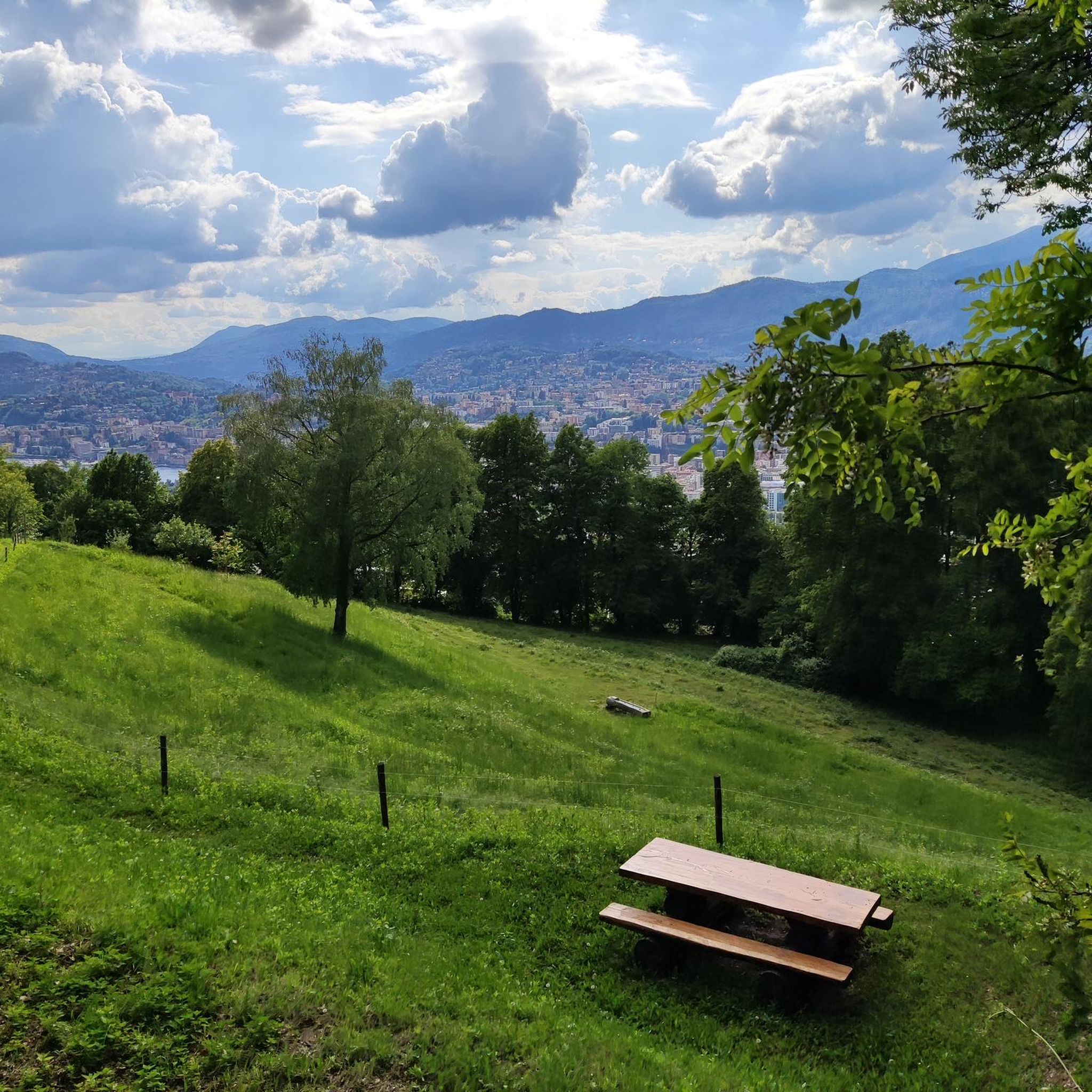
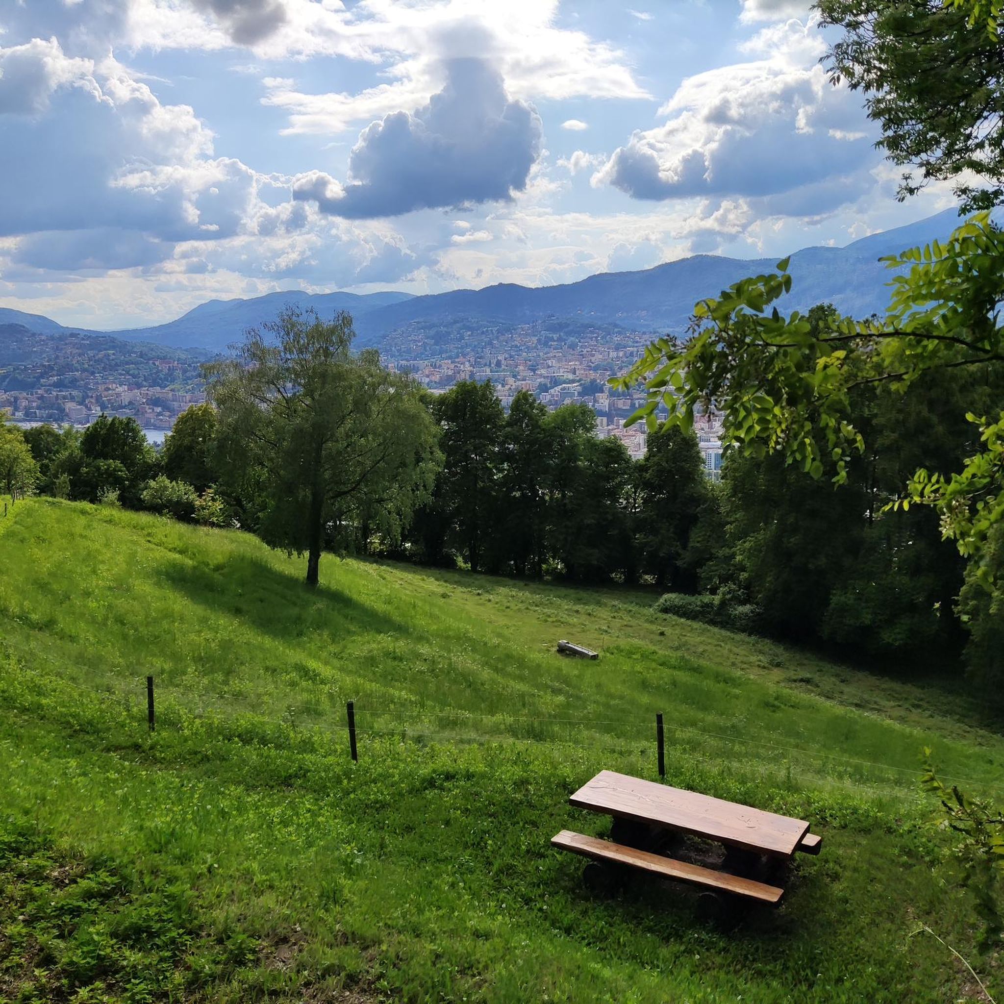
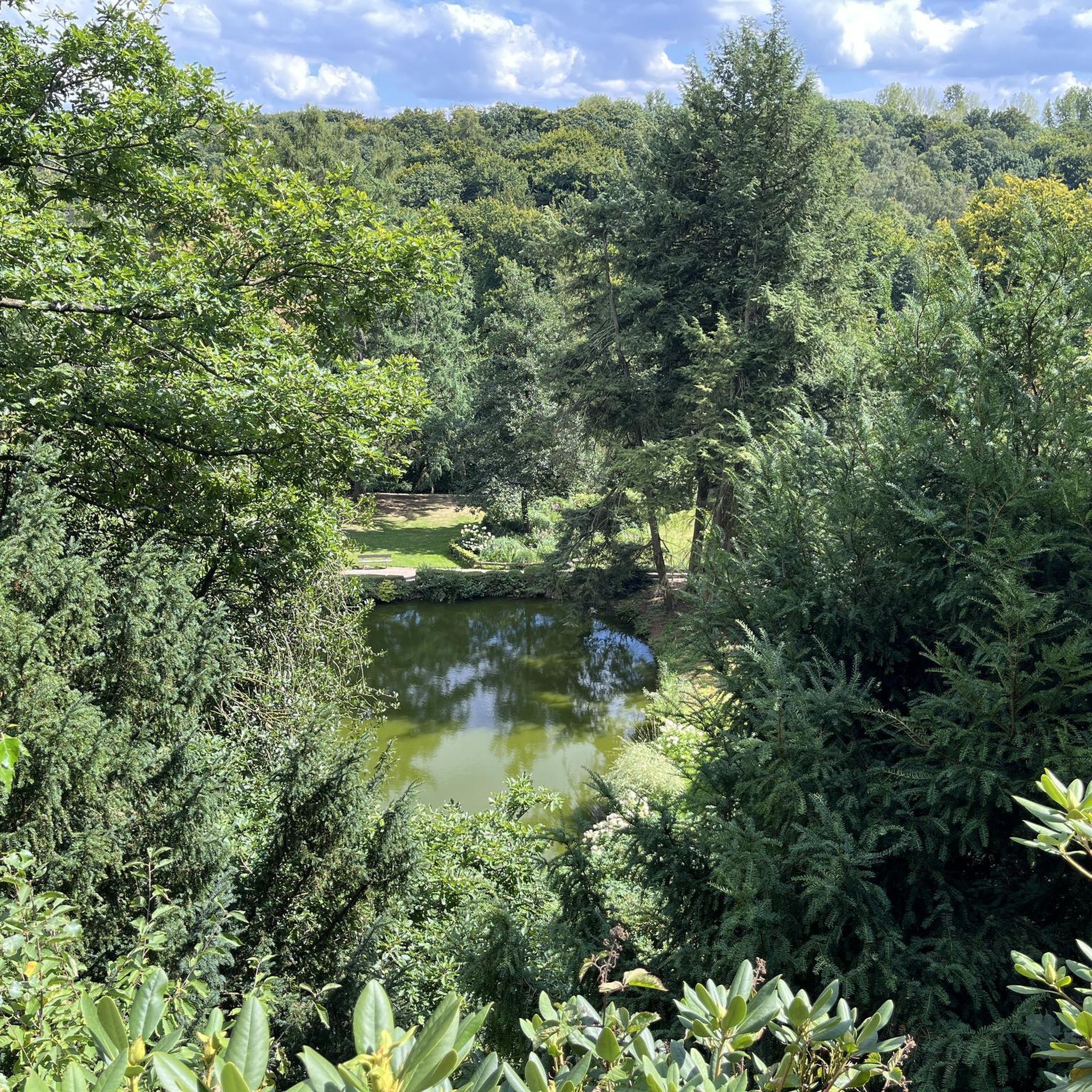
Still an incredibly beautiful and peaceful place in 2026. However, the view has become overgrown over the years. Nevertheless, worth a hike.
1
0

Beautiful view from the promenade of Lake Lugano with striking mountains such as Monte San Salvatore, Monte San Giorgio and Monte Generoso.
1
0

In times of prolonged drought, people used to pray for rain here.
0
0

The most important design choice is the square plan of the church, whose entire internal geometry is also determined by this figure. The square is a geometric symbol that expresses man's orientation in space and in the sphere of life. The square implies an ordering principle that seems innate to man and that, in a dualistic system, is opposed to the circle that represents the heavenly powers. The squaring of the circle thus symbolizes the desire to bring the "earthly" and "heavenly" elements back into ideal harmony. Another symbolic aspect of the project is the analogy between its geometry and the ancient Christological monogram, which recalls the cross and connects the circle to the square, which has a function of synthesis and measure. The sense of memory and protection created by the square plan is enhanced by the two geometric constructions that form the external and internal shell of the church. The first is massive and made of naturally split lexinia, the second is thinner and lighter and runs towards the altar around which the assembly gathers, arranged essentially in a semicircle and not rigidly divided, in order to comply with the most authentic innovative principles (Vatican II) of liturgical division
0
0

We only did the first section, from top to bottom. It cost 2 francs for an adult. But it's a beautiful experience and you can see the lake glistening in the sun. After the first section you have to cross the road and continue up to Monte Brè.
0
0

Superb magical place. Wooden constructions to represent the village festival of yesteryear.
0
0


Located in the woods south of Vaglio, the Redde tower and the Church of S. Clemente were part of an inhabited complex including a village (Redde), the house-fortress and a church.
0
0
Frequently Asked Questions
What kind of terrain can I expect on hikes around Porza?
Hikes around Porza offer a varied terrain, ranging from gentle paths near Lake Lugano to more challenging routes in the foothills of mountains like Monte San Salvatore. You'll encounter a mix of woodlands and open areas, catering to different hiking abilities. The region's mountainous character means some trails require good fitness and sure-footedness.
Are there easy hiking trails suitable for beginners or families in Porza?
Yes, Porza offers several easy trails perfect for beginners or families. For example, the Lake Muzzano – Lake Muzzano loop from Lugano is an easy 3.6-mile (5.9 km) path that provides a pleasant walk suitable for all fitness levels.
What are some notable landmarks or viewpoints I can discover while hiking near Porza?
The region around Porza is rich in scenic landmarks. You can enjoy breathtaking views from Monte San Salvatore, explore the charming Gandria Village on Lake Lugano, or simply admire the expansive Lake Lugano itself. There are also beautiful trails along cliffs and the peaceful Agra Pond Nature Reserve.
Are there any circular hiking routes available in the Porza area?
Yes, many hikes around Porza are designed as loops, allowing you to start and end in the same location. Examples include the moderate Lugano – Monte Brè Funicular loop from Stadio Cornaredo and the easy Lake Muzzano – Lake Muzzano loop from Lugano.
What is the best time of year to go hiking in Porza?
Porza offers great hiking opportunities throughout much of the year. Spring and autumn provide pleasant temperatures and vibrant scenery. Summer is also popular, especially for higher altitude trails. While some trails might be accessible, winter hiking can be more challenging due to snow and ice, particularly in mountainous areas.
How many hiking trails are available around Porza?
There are over 660 hiking routes available around Porza, catering to various skill levels. This includes approximately 235 easy trails, 312 moderate trails, and 118 difficult trails, ensuring options for everyone from casual walkers to experienced mountaineers.
Are there any huts or places to stop for refreshments along the trails near Porza?
Yes, the region offers several huts and mountain hostels where you can rest and often find refreshments. Notable options include the Monte Bar Hut, the Monte Lema Summit Hostel, and the Pairolo Hut. Other spots like Alpe Santa Maria at Gola di Lago and Alpe Musgatina also provide welcoming stops.
What do other hikers say about the trails in Porza?
The hiking routes in Porza are highly regarded by the komoot community, with an average rating of 4.6 stars from over 4300 reviews. Hikers often praise the diverse landscapes, accessible paths, and beautiful views of Lake Lugano and the surrounding mountains.
Can I access hiking trails near Porza using public transport?
Yes, many hiking trails in the Porza and wider Lugano region are accessible via public transport. You can often reach starting points for popular routes by bus, train, or even funiculars and cable cars that ascend mountains like Monte San Salvatore or Monte Brè.
Are there any specific regulations for hiking with dogs in the Porza area?
While many trails in the Porza region are dog-friendly, it's generally recommended to keep dogs on a leash, especially in nature reserves, agricultural areas, or where wildlife is present. Always ensure your dog is well-behaved and that you clean up after them to preserve the natural environment for everyone.
Are there any permits required for hiking in the Porza region?
Generally, no specific permits are required for hiking on public trails in the Porza region of Ticino, Switzerland. However, always respect private property, follow marked paths, and adhere to any local signage regarding access or protected areas.
What is the typical duration of hikes around Porza?
Hikes around Porza vary significantly in duration. You can find shorter, easy walks that take less than two hours, such as the Lake Muzzano – Lake Muzzano loop from Lugano (approx. 1 hour 37 minutes). Longer, more challenging routes can extend to over five hours, depending on the distance and elevation gain.
Most popular attractions around Porza

Get inspired with the komoot mobile app


Explore more
Browse the best Hikes in other regions.
