The best walks and hikes around Sellia
4.7
(33)
109
hikers
12
hikes
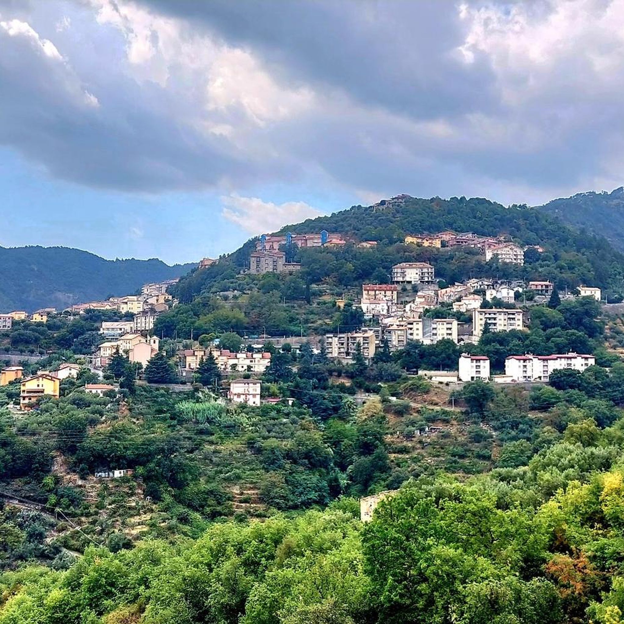
Hiking around Sellia offers diverse landscapes, characterized by mountainous terrain and proximity to the Sila National Park. The region features well-maintained trail networks that traverse natural attractions and varied ecosystems. Hikers can explore areas with significant elevation changes and natural features like waterfalls and canyons.
Best hiking trails around Sellia
- The most popular hiking route is Grotta Rosa Trail, an 8.0 miles (12.9 km) trail that takes 3 hours 51 minutes to complete. This moderate route leads to a…
Last updated: June 24, 2026
5.0
(1)
4
hikers
10.7km
02:55
160m
160m
Moderate hike. Good fitness required. Easily-accessible paths. Suitable for all skill levels.
4.4
(5)
6
hikers
12.9km
03:52
420m
420m
Hike the moderate 8.0-mile Grotta Rosa Trail in Sila National Park to discover a natural amphitheater with a pink-hued waterfall.

Sign up for free
4.7
(3)
13
hikers
5.41km
01:51
270m
270m
Easy hike. Great for any fitness level. Easily-accessible paths. Suitable for all skill levels.
4.6
(13)
36
hikers
5.84km
01:38
120m
120m
Easy hike. Great for any fitness level. Easily-accessible paths. Suitable for all skill levels.
4.6
(5)
10
hikers
Easy hike. Great for any fitness level. Easily-accessible paths. Suitable for all skill levels.
Get access to more routes and recommendations from other explorers.
Sign up for free
Already have an account?
Our route recommendations are based on thousands of hikes, rides, and runs completed by other people on komoot.
Start today with a free account
Your next adventure awaits.
Login or Signup
Popular around Sellia

Tips from the Community

The trail isn't well marked, and it's unclear when you're actually in front of the "Pink Grotto." Sometimes you think you've arrived, but a closer look always reveals some poorly maintained passages. In any case, it's very beautiful and evocative.
0
0

Ruins of the Peseca Abbey
0
0

Suggestive walk between the ridges of the hills, you are immersed in nature.
0
0

Simple route until you reach the stretch where the stream begins. Here you need to be able to move from one bank to the other, therefore I recommend waterproof shoes or at least a second pair, the risk that your feet end up in the water is high due to the slippery stones.
0
0

Access to the Pink Grotto is facilitated by the presence of ropes which give extra safety on the rocks which can be slippery.
0
0
The Campanaro waterfalls, fed by the Campanaro river, are located near Zagarise. To get to the two waterfalls you have to cross a small suspension bridge and various stairs.
4
0
Thanks to some volunteers from Taverna it is possible to walk the path that leads to the waterfall of the Litrello stream. The route then leads to the remains of the Peseca Abbey.
1
0
Frequently Asked Questions
How many hiking trails are available around Sellia?
There are over 10 hiking routes around Sellia, offering diverse landscapes and experiences. These trails range from easy walks to more moderate excursions, catering to various fitness levels.
What makes hiking around Sellia unique?
Hiking around Sellia is highly rated by the komoot community, with an average score of 4.8 stars. Hikers often praise the region's mountainous terrain, the extensive Sila National Park, and the unique Valli Cupe Canyon, which provide breathtaking landscapes and pristine nature. The trails offer a mix of natural beauty and opportunities to explore ancient architecture in the historic center.
Are there easy hiking trails suitable for beginners in Sellia?
Yes, Sellia offers several easy hiking trails perfect for beginners or those looking for a relaxed walk. For instance, the Hiking loop from Catanzaro is a shorter route with minimal elevation gain. There are 7 easy routes in total, many of which are suitable for any fitness level.
Can I find circular hiking routes in Sellia?
Yes, there are several circular routes available. A popular option is the Vallone Vanuvonu – Valli Cupe Canyon loop from Valli cupe, which takes you through the impressive Valli Cupe Canyon. Another is the Litrello Waterfall loop from Cascata del Litrello, offering a scenic walk to a waterfall.
Are there any hikes that feature waterfalls near Sellia?
Absolutely. The region is known for its natural waterfalls. You can explore the Grotta Rosa Trail within Sila National Park, which leads to a natural amphitheater with a distinct pink-hued waterfall. Another prominent natural attraction is the Campanaro Falls, accessible via the From Zagarise to the Campanaro Falls – Sila National Park route.
What natural attractions can I explore on a hike around Sellia?
Beyond waterfalls, hiking around Sellia allows you to explore the diverse landscapes of the Sila National Park and the unique Valli Cupe Canyon. The region features mountainous terrain and pristine nature. Douglasia Park is also nearby, offering additional natural features.
Are there any historical or cultural sites to see while hiking?
Yes, Sellia offers cultural and historical routes that allow visitors to explore the ancient architecture and narrow streets of its historic center. Additionally, nearby towns like Taverna and Tiriolo offer further opportunities to discover local heritage.
Are the hiking trails around Sellia family-friendly?
Many of the easy trails around Sellia are suitable for families. The region offers trails ranging from short walks up to 2 hours, which are generally manageable for families with children. Always check the specific route details for distance and elevation to ensure it matches your family's capabilities.
Are dogs allowed on the hiking trails in Sellia?
Generally, dogs are welcome on many hiking trails in the Sellia region, especially in natural parks like Sila National Park. However, it's always advisable to keep them on a leash and check for any specific local regulations or protected areas where restrictions might apply.
What are the parking options for hikers in Sellia?
While specific parking areas for each trailhead are not always explicitly listed, most trailheads near towns or popular attractions in the Sellia region typically have designated parking spaces or roadside parking available. It's recommended to arrive early during peak seasons to secure a spot.
Is it possible to reach hiking trails in Sellia using public transport?
Access to some trailheads in the Sellia region might be possible via local bus services, especially those closer to larger towns. However, for more remote trails, public transport options may be limited, and a car is often recommended for greater flexibility.
What is the best time of year to hike in Sellia?
The region around Sellia offers pleasant hiking conditions for much of the year. Spring and autumn generally provide the most comfortable temperatures and vibrant scenery. Summer can be warm, especially at lower elevations, while winter hiking is possible but may require appropriate gear for higher, mountainous areas.
Most popular attractions around Sellia

Get inspired with the komoot mobile app


Explore more
Browse the best Hikes in other regions.
