The best walks and hikes around Pont-en-Ogoz
4.5
(238)
2,517
hikers
15
hikes
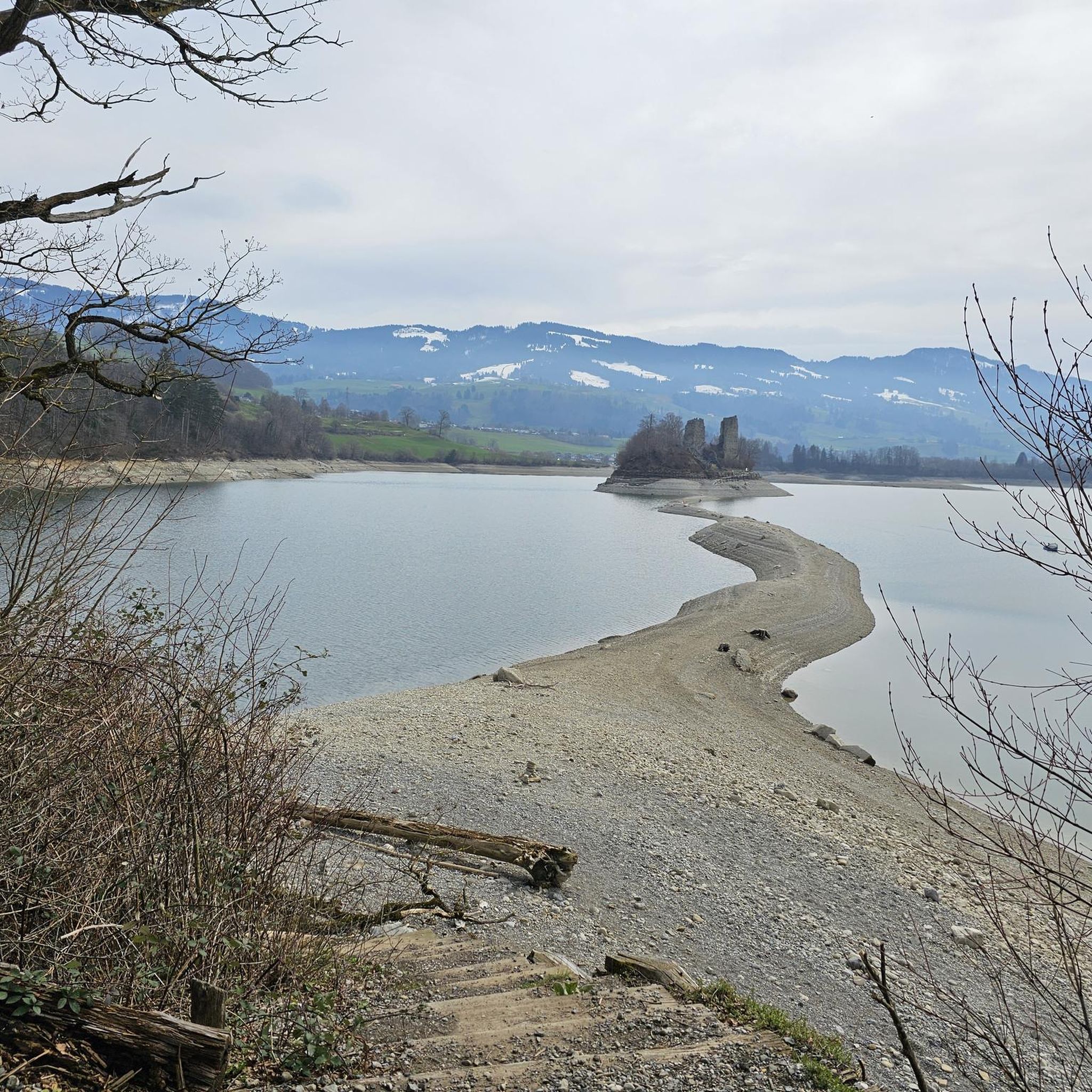
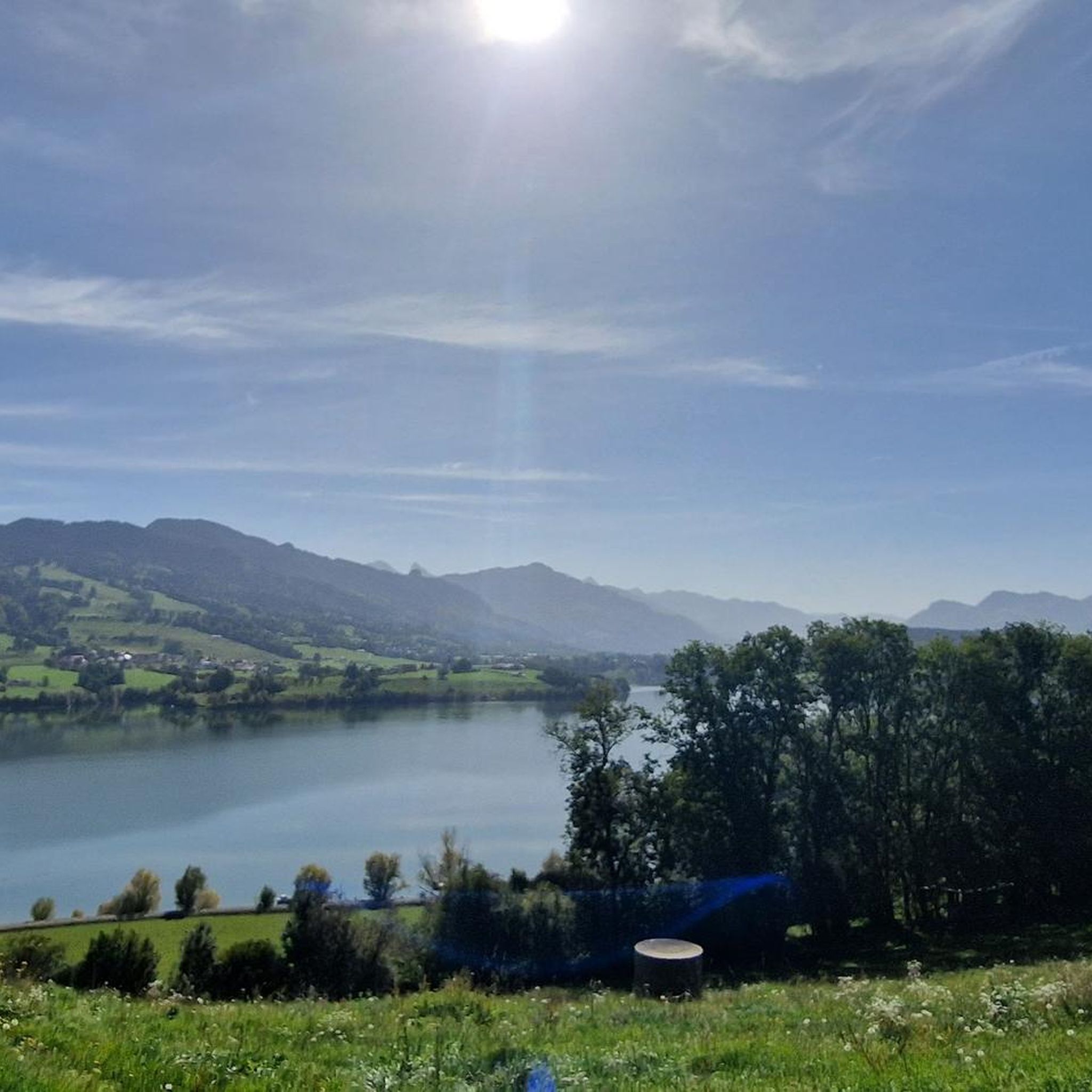
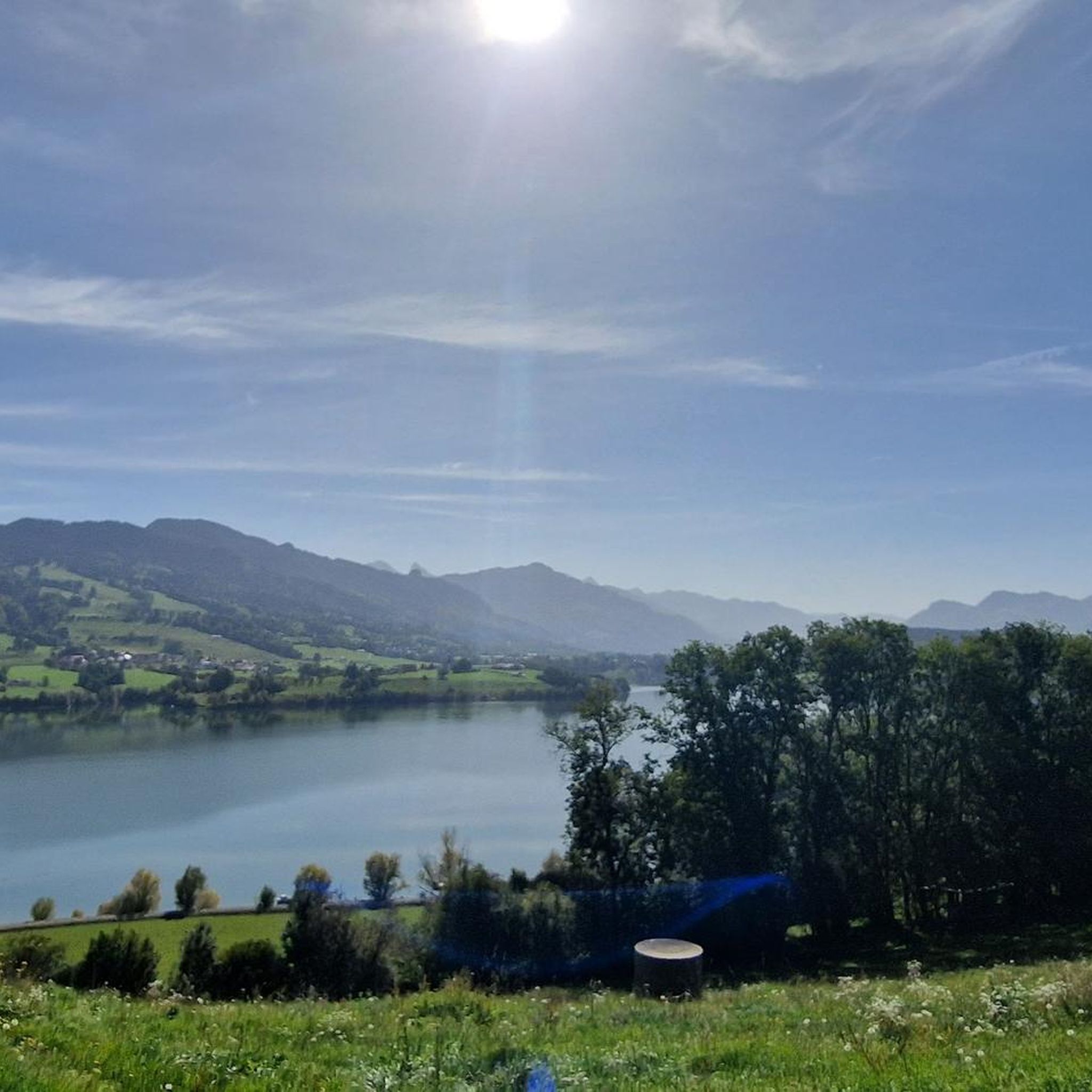
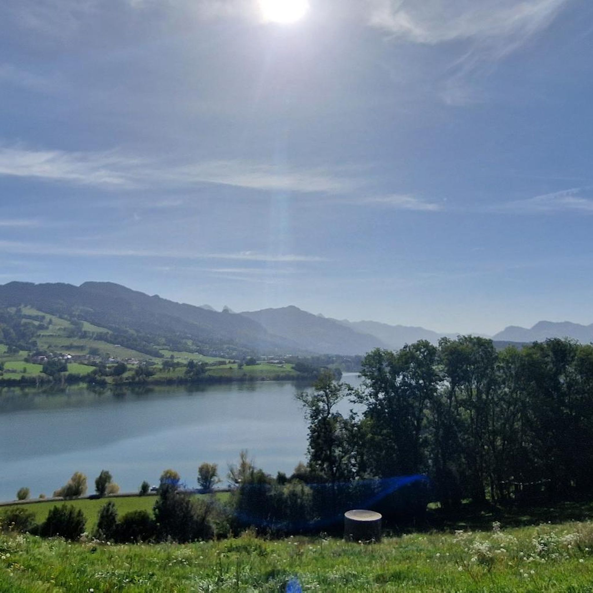
Hiking around Pont-en-Ogoz offers diverse terrain characterized by the expansive Lac de la Gruyère, Switzerland's longest reservoir lake, and its surrounding forested lands and agricultural pastures. The region features the unique Île d'Ogoz, an island accessible on foot when lake levels recede, and the Gibloux Mountain, providing elevated viewpoints. These natural features create varied hiking opportunities across different elevations.
Best hiking trails around Pont-en-Ogoz
- The most popular hiking route is Île d'Ogoz — loop from Avry, a 6.7 miles…
Last updated: May 15, 2026
4.9
(7)
60
hikers
10.8km
02:52
100m
100m
Moderate hike. Good fitness required. Easily-accessible paths. Suitable for all skill levels.
4.2
(13)
132
hikers
7.55km
02:16
230m
240m
Moderate hike. Good fitness required. Easily-accessible paths. Suitable for all skill levels.

Sign up for free
4.9
(12)
121
hikers
10.1km
02:50
200m
200m
Moderate hike. Good fitness required. Easily-accessible paths. Suitable for all skill levels.
4.7
(3)
59
hikers
6.56km
01:57
210m
210m
Easy hike. Great for any fitness level. Easily-accessible paths. Suitable for all skill levels.
4.3
(3)
64
hikers
3.62km
01:03
90m
90m
Easy hike. Great for any fitness level. Easily-accessible paths. Suitable for all skill levels.
Get access to more routes and recommendations from other explorers.
Sign up for free
Already have an account?
Our route recommendations are based on thousands of hikes, rides, and runs completed by other people on komoot.
Start today with a free account
Your next adventure awaits.
Login or Signup

Tips from the Community

With the exception of 2 short steep ascents, it is also very good to ride with a gravel bike.
1
0

Can be visited on foot when the water level is low enough.
1
0


If the water level is below 668 m above sea level, you can walk all the way to the island. This usually happens in March, but you can always check the status and forecast: https://www.groupe-e.ch/de/ueber-groupe-e/wasserstand-seen/gruyere
0
0

A beautiful climb, with the antenna always in focus. Once at the top, you're greeted by a beautiful architectural structure.
0
0

beautiful view of the Fribourg countryside and the large lakes, Leman Neuchâtel
0
0

Mega beautiful..... for a walk with the dog
0
0

Frequently Asked Questions
What types of hiking trails can I find around Pont-en-Ogoz?
Pont-en-Ogoz offers a variety of hiking trails, primarily easy and moderate routes. You'll find paths along the shores of Lac de la Gruyère, through forested areas, and across agricultural pastures. There are 15 routes in total, with 5 easy and 10 moderate options available.
Are there any easy hiking trails suitable for beginners or families?
Yes, there are several easy trails. A great option for families or beginners is the Passage to Île d'Ogoz – Ogoz Island loop from Pont-en-Ogoz. This 3.6 km route is relatively flat and takes just over an hour, offering a pleasant walk to the unique Ogoz Island.
What are the main natural features or landmarks to see while hiking in Pont-en-Ogoz?
The region is dominated by the expansive Lac de la Gruyère, Switzerland's longest reservoir lake, offering stunning views. A unique highlight is the Île d'Ogoz, an island with historical castle ruins that becomes accessible on foot when the lake's water level recedes, typically in spring. You can also hike up Gibloux Mountain for panoramic vistas over the lake and surrounding landscape.
Can I find circular hiking routes in Pont-en-Ogoz?
Yes, many of the popular trails in Pont-en-Ogoz are circular. For example, the Île d'Ogoz — loop from Avry is a moderate 10.8 km circular route exploring the lake area. Another excellent option is the Tour du Gibloux – Panoramic View of Lake Gruyère loop from Pont-en-Ogoz, which offers rewarding views from Gibloux Mountain.
When is the best time of year to hike around Pont-en-Ogoz?
The spring, summer, and autumn months generally offer the best conditions for hiking. Spring is particularly special as the water levels of Lac de la Gruyère often recede, making Île d'Ogoz accessible on foot for a few weeks. Summers are pleasant for lakeside walks, and autumn brings beautiful foliage to the forested areas.
What do other hikers say about the trails in Pont-en-Ogoz?
The hiking routes in Pont-en-Ogoz are highly regarded by the komoot community, with an average rating of 4.5 stars from over 200 reviews. Hikers often praise the diverse landscapes, the stunning views of Lac de la Gruyère, and the unique experience of visiting Île d'Ogoz.
Are there any historical sites or ruins to explore on the trails?
Absolutely. The most notable historical site is on Île d'Ogoz, where you can explore the ruins of Pont-en-Ogoz Castle and Fortress, including 13th-century towers and a chapel. These are recognized as Swiss heritage sites of national significance, and you can even climb one of the towers for panoramic views.
Are there any trails that offer panoramic views?
Yes, several trails provide excellent panoramic views. The Tour du Gibloux – Panoramic View of Lake Gruyère loop from Pont-en-Ogoz ascends Gibloux Mountain, offering sweeping vistas over Lac de la Gruyère and the surrounding region. Climbing the towers on Île d'Ogoz also provides great views of the lake.
How long do hikes in Pont-en-Ogoz typically take?
Hike durations vary depending on the route and your pace. Easy trails like the Passage to Île d'Ogoz – Ogoz Island loop can be completed in just over an hour. Moderate routes, such as the Île d'Ogoz — loop from Avry (10.8 km), typically take around 2 hours 50 minutes.
Are there any dams or bridges of interest along the hiking routes?
Yes, the region features several impressive man-made structures. The Passage to Île d'Ogoz – Rossens Dam loop from Pont-en-Ogoz takes you near the Rossens Dam. Additionally, you can find the Montsalvens Dam and the Montsalvens Lake Suspension Bridge in the broader area, which are interesting points of interest.
What kind of terrain can I expect on the trails?
The terrain around Pont-en-Ogoz is quite varied. You'll encounter flat paths along the lake, gentle ascents through agricultural pastures, and more undulating sections within forested areas. The trails are generally well-maintained, offering a mix of natural surfaces and some paved sections, suitable for different fitness levels.
Most popular routes around Pont-en-Ogoz
Most popular attractions around Pont-en-Ogoz

Get inspired with the komoot mobile app


Explore more
Browse the best Hikes in other regions.
