The best running trails around Sant'Eufemia D'Aspromonte
5.0
(2)
65
runners
5
runs
Jogging around Sant'Eufemia D'Aspromonte offers access to the diverse and rugged landscapes of the Aspromonte National Park. The region is characterized by the Aspromonte massif, featuring mountainous terrain, dense forests of beech and oak, and numerous rivers and waterfalls. Joggers can experience dynamic environments with varied elevations, from moderate paths to more demanding mountain routes, providing a range of challenges. This area is recognized as a UNESCO Global Geopark due to its unique geological formations, including towering cliffs and monoliths.
…Last updated: November 4, 2026
3
runners
8.69km
01:20
490m
490m
18
runners
5.56km
00:36
30m
30m
Moderate run. Good fitness required. Mostly paved surfaces.

3
runners
22.7km
03:07
820m
820m
Hard run. Very good fitness required. Mostly paved surfaces.
7
runners
11.8km
01:29
260m
260m
Moderate run. Good fitness required. Mostly paved surfaces.
3
runners
6.80km
00:46
150m
150m
Moderate run. Good fitness required. Mostly paved surfaces.
Our route recommendations are based on thousands of hikes, rides, and runs completed by other people on komoot.
Start today with a free account
Your next adventure awaits.
Tips from the Community


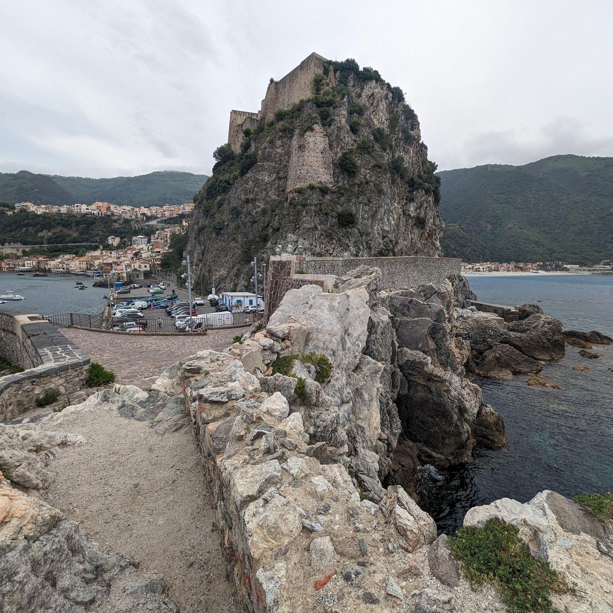
I recommend traversing this section of the "Sentiero del Tracciolino" very cautiously, paying close attention to where you place your feet. It winds along the steep Calabrian cliff face that runs from Palmi to Bagnara Calabra and is indeed very narrow in places. Furthermore, if there is any vegetation on the sea side, there is a risk of placing your foot on false flats, "foot-breakers" as they say. The magnificent sea view also contributes to this, as it risks distracting you from the path.
0
0

The region is known for its spicy, bold cuisine – 'nduja, caciocavallo cheese, wild herbs, local wines (like Greco di Bianco) and olive oil from mountain farms. It is also an area with a strong identity, with the Greek-Calabrian language spoken in some villages.
1
0
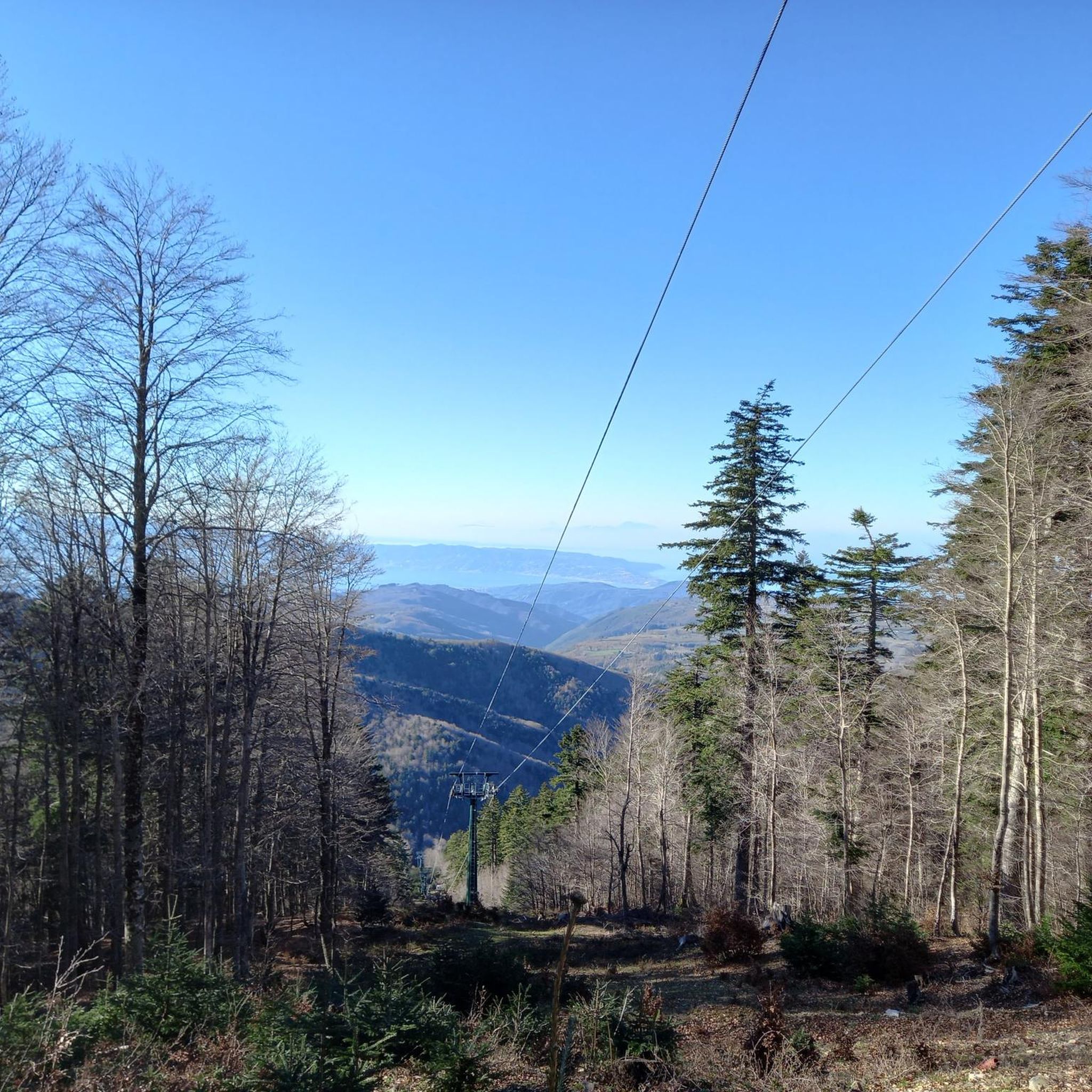
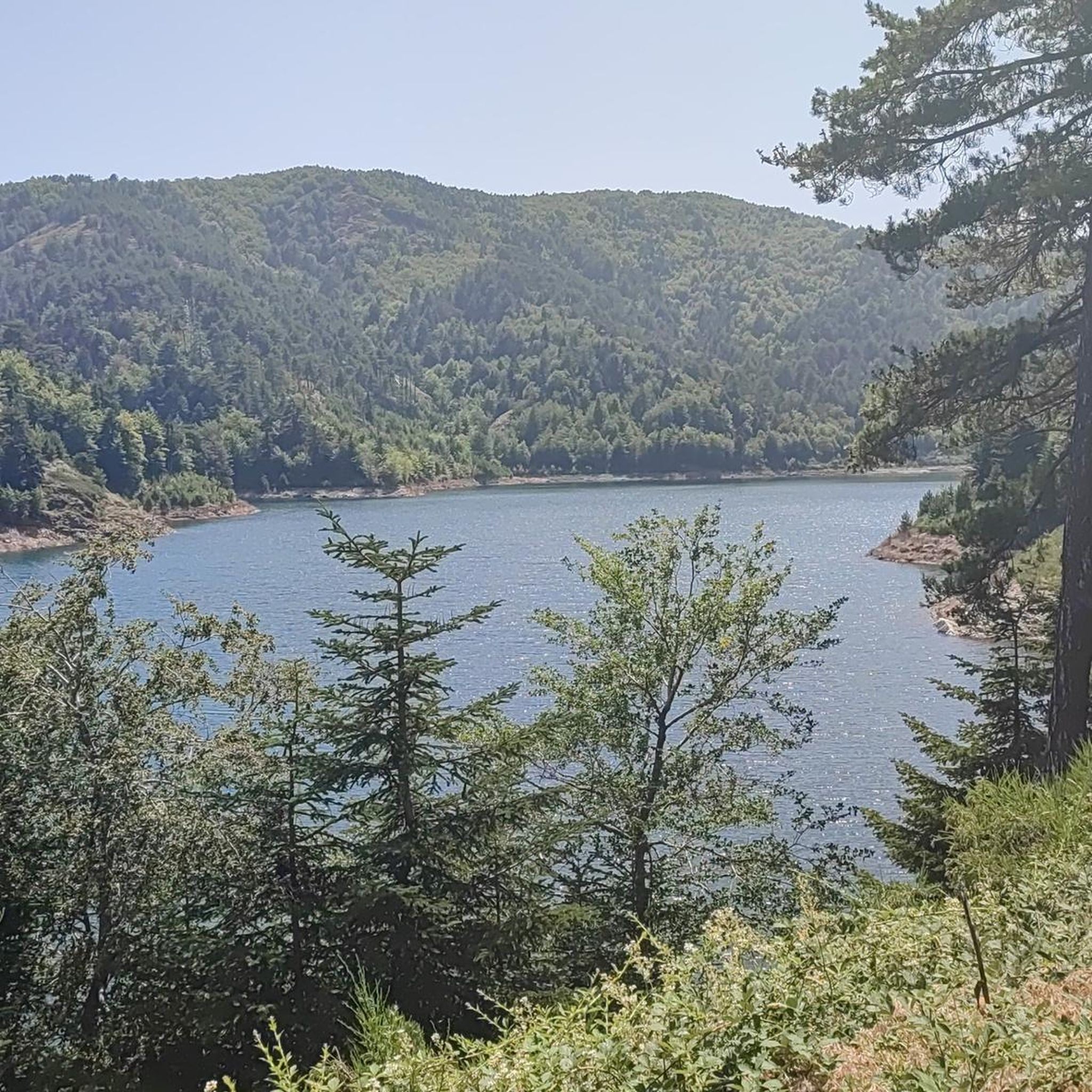
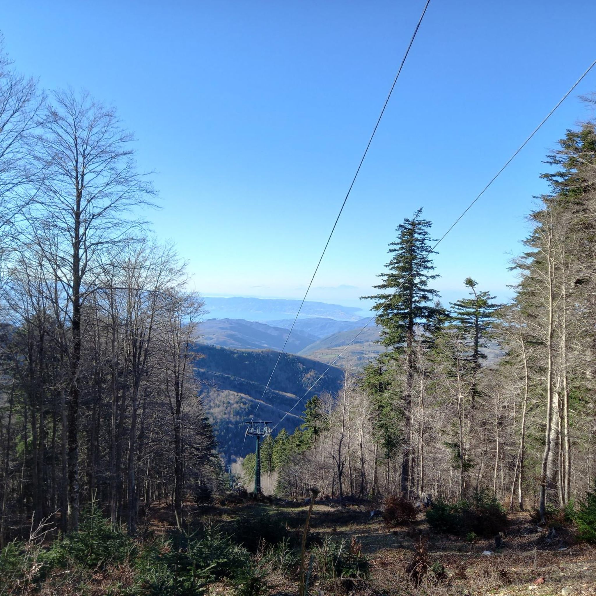
The perfect place for detox and contact with nature. The area is one of the most inaccessible and untouched mountain ranges in Italy. Aspromonte National Park is beech forests, rare plants and animals (e.g. wolves, golden eagles), waterfalls and spectacular panoramas - from the Tyrrhenian Sea to Sicily and Etna. And above all, no crowds.
1
0
Gambarie is a small mountain village located at an altitude of approximately 1,350 m above sea level in the Calabria region in the Aspromonte National Park.
1
0


Panoramic viewpoint above the famous "Tracciolino" path that goes from Palmi to the slopes of Bagnara
1
0

The climb from Palmi to Monte Sant' Elia can be strenuous even in late October, but the view of the coast and the Aeolian Islands in the distance justifies the effort, at least in good weather. On the way back you can choose a slightly longer detour that leads back to Palmi below the mountain. You can commute to the train station by bus (no guarantee :-))
1
0
Frequently Asked Questions
How many running routes are available around Sant'Eufemia D'Aspromonte?
There are 5 dedicated running routes around Sant'Eufemia D'Aspromonte, offering a variety of experiences within the Aspromonte National Park. These routes range from moderate to difficult, catering to different fitness levels.
What kind of terrain can I expect on the jogging trails in this region?
The jogging trails around Sant'Eufemia D'Aspromonte offer a diverse range of terrain. You can expect challenging mountain paths, dense Mediterranean forests, and routes with varied elevations. The region is part of the Aspromonte National Park, a UNESCO Global Geopark, known for its rugged topography, ancient beech forests, and unique geological formations.
Are there running routes that feature waterfalls?
Yes, the Aspromonte National Park, accessible from Sant'Eufemia D'Aspromonte, is home to several beautiful waterfalls. You can explore the Vallescura Waterfall – Gambarie Fountain loop from Gambarie, which takes you near the Vallescura Waterfall. Additionally, the Maesano Waterfalls are a notable natural monument in the area, offering a spectacular natural setting.
Can I find routes with scenic views or coastal panoramas?
Absolutely. The region offers a unique blend of mountain and sea, with paths providing breathtaking panoramic views. The Stone Bridge and Panoramic View of the Tyrrhenian Sea (Tracciolino Trail) highlight is a great example, offering stunning vistas where the sea and mountains appear incredibly close. You might even catch glimpses of the Aeolian Islands and Stromboli on clear days.
Are there any circular running routes in the area?
Yes, several circular running routes are available. Popular options include the Hot and Fresh Bread from the Oven loop from Bagnara (difficult, 20.9 km) and the Hot and Fresh Bread from the Oven loop from Scilla (moderate, 5.4 km). For a longer challenge, consider the Vallescura Waterfall – Gambarie Fountain loop from Gambarie.
What do other runners say about the trails in Sant'Eufemia D'Aspromonte?
The running routes around Sant'Eufemia D'Aspromonte are highly rated by the komoot community, with an average score of 5.0 stars from over 2 reviews. More than 50 runners have used komoot to explore the varied terrain, often praising the challenging mountain paths and the immersive experience within dense forests.
Are there any easy or moderate running routes suitable for beginners?
While many routes are challenging, there are options for moderate difficulty. The Hot and Fresh Bread from the Oven loop from Scilla is a moderate 5.4 km trail, and the Gambarie Sculpture Roundabout – Gambarie Fountain loop from Gambarie is another moderate option at 12 km, both offering diverse elevations without extreme difficulty.
What are some notable natural attractions I might encounter on a run?
Beyond the stunning landscapes of the Aspromonte National Park itself, you could encounter the majestic Maesano Waterfalls or the panoramic views from the Stone Bridge and Panoramic View of the Tyrrhenian Sea (Tracciolino Trail). The region's diverse flora, from Mediterranean maquis to ancient beech forests, also adds to the natural beauty.
Is the Aspromonte National Park suitable for running, and what should I know about it?
Yes, the Aspromonte National Park is an excellent area for running, offering a wide array of trails. It's a UNESCO Global Geopark, known for its rugged mountains, deep valleys, and rich biodiversity. Joggers can find varied terrains, from challenging ascents to more accessible paths. For more general information about the park, you can visit italia.it.
Are there any long-distance running options for experienced runners?
Experienced runners looking for a challenge will find several demanding routes. The Hot and Fresh Bread from the Oven loop from Bagnara is a difficult 20.9 km path traversing dense forests. Another challenging option is the Vallescura Waterfall – Gambarie Fountain loop from Gambarie, which spans over 22 km with significant elevation changes.
Most popular routes around Sant'Eufemia D'Aspromonte
Most popular attractions around Sant'Eufemia D'Aspromonte

Get inspired with the komoot mobile app


Explore more
Browse the best Running Trails & Routes in other regions.
