The best walks and hikes around Polling in Tirol
4.6
(15297)
75,495
hikers
554
hikes
Hiking around Polling in Tirol offers diverse landscapes, from gentle valley walks to challenging Alpine ascents. The region is situated within the broader Tyrolean Alps, characterized by majestic peaks, mountain valleys, and extensive forests. This area provides a variety of trails suitable for different fitness levels, with routes traversing natural features such as clear mountain lakes and picturesque viewpoints.
Best hiking trails around Polling in Tirol
- The most popular hiking route is Trail to Hochleithenkopf – Hochleithenkopf Viewpoint loop from…
Last updated: August 25, 2026
3.7
(6)
36
hikers
10.2km
03:48
630m
630m
Moderate hike. Good fitness required. Mostly accessible paths. Sure-footedness required.
4.9
(7)
20
hikers
16.1km
06:57
1,440m
1,430m
Hard hike. Very good fitness required. Easily-accessible paths. Suitable for all skill levels.

Sign up for free
5.0
(3)
19
hikers
10.9km
04:42
980m
980m
Hard hike. Very good fitness required. Easily-accessible paths. Suitable for all skill levels.
15
hikers
8.20km
03:12
570m
570m
Moderate hike. Good fitness required. Mostly accessible paths. Sure-footedness required.
4.0
(1)
9
hikers
5.45km
01:35
150m
150m
Easy hike. Great for any fitness level. Easily-accessible paths. Suitable for all skill levels.
Get access to more routes and recommendations from other explorers.
Sign up for free
Already have an account?
Our route recommendations are based on thousands of hikes, rides, and runs completed by other people on komoot.
Start today with a free account
Your next adventure awaits.
Login or Signup
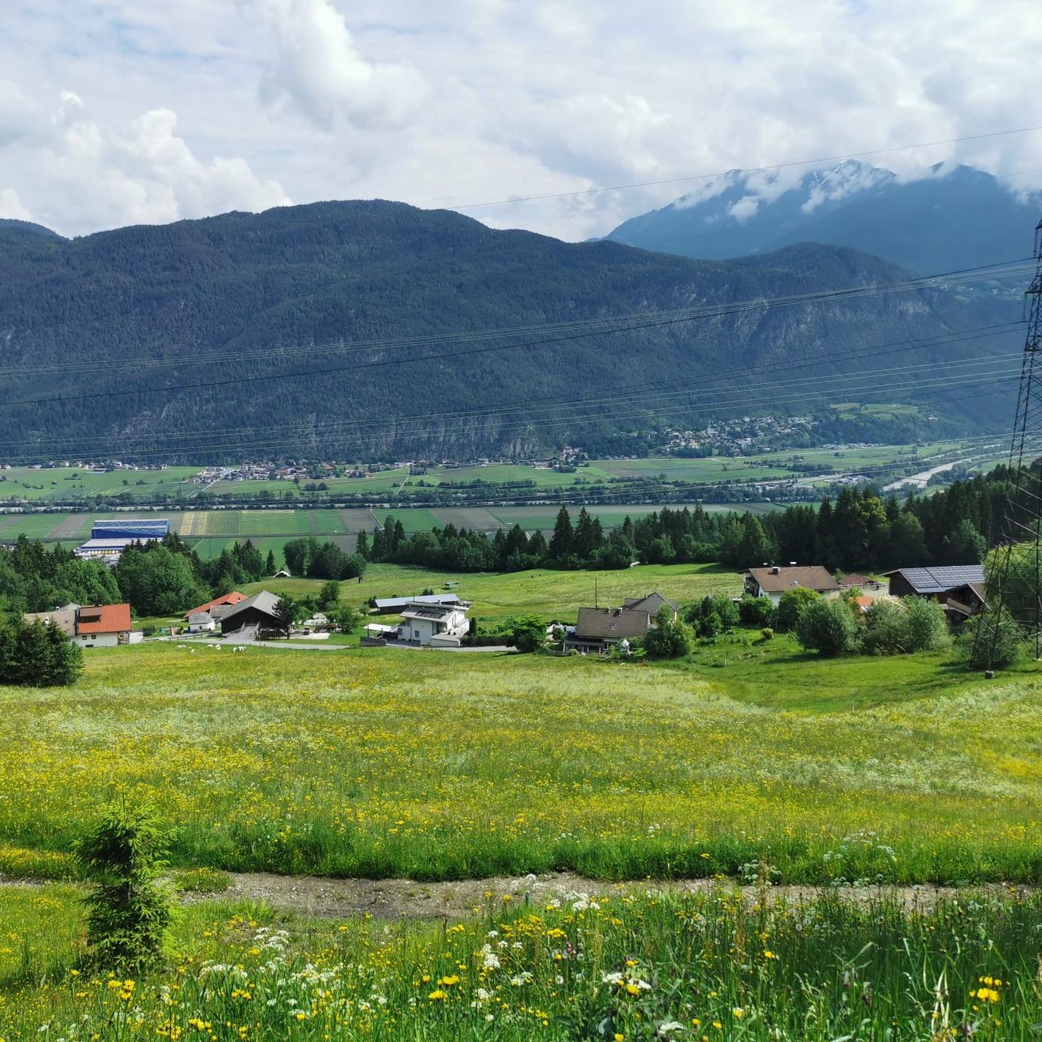
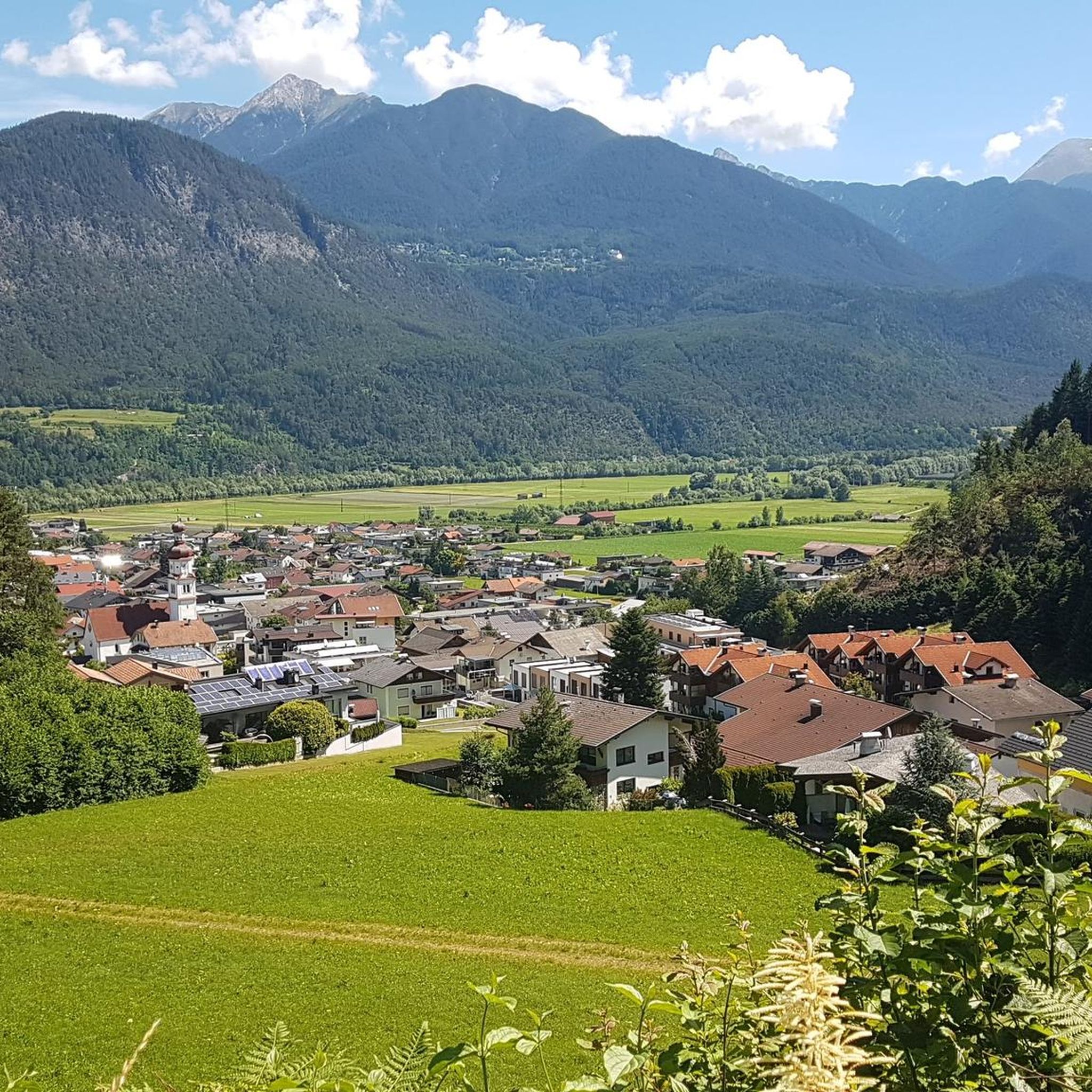
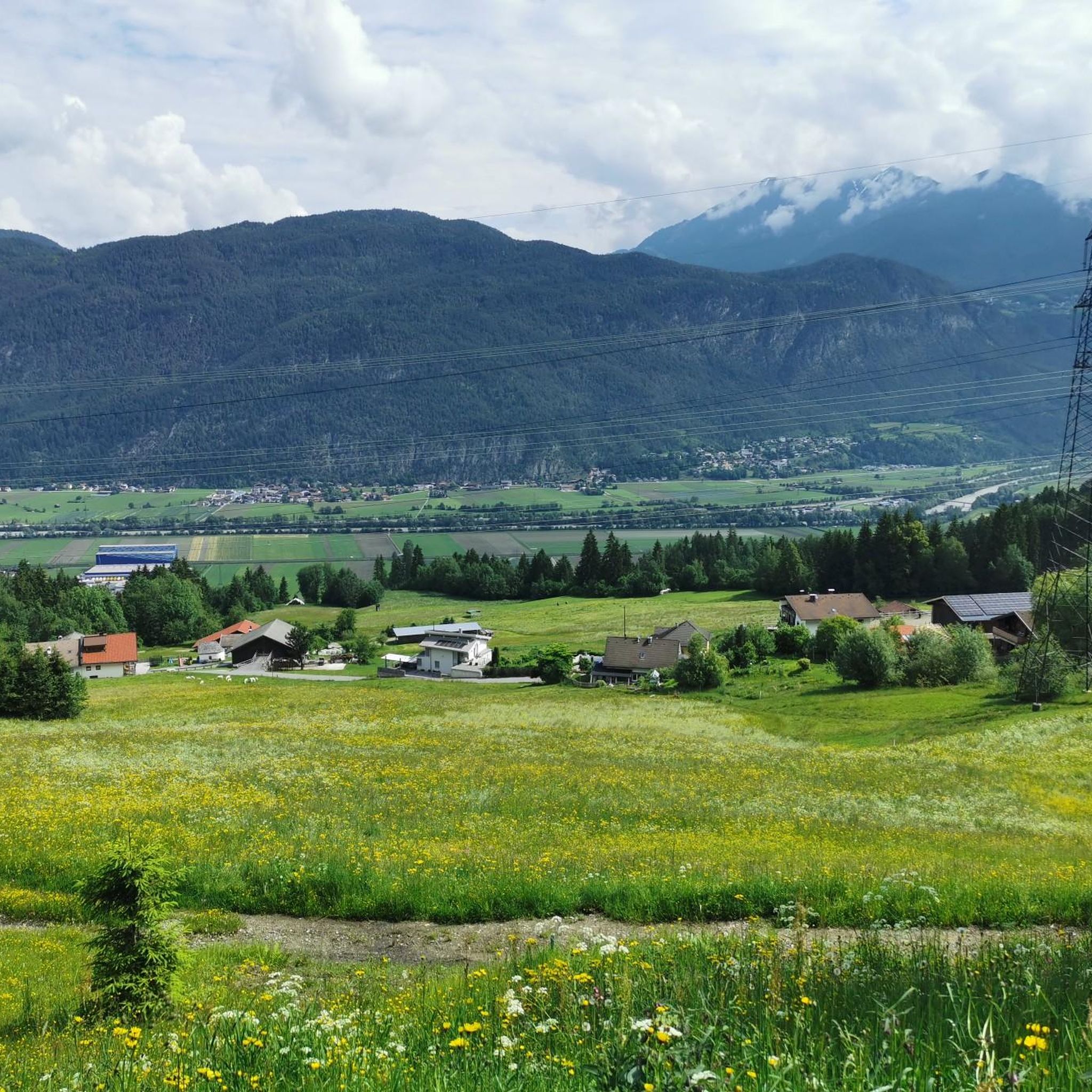

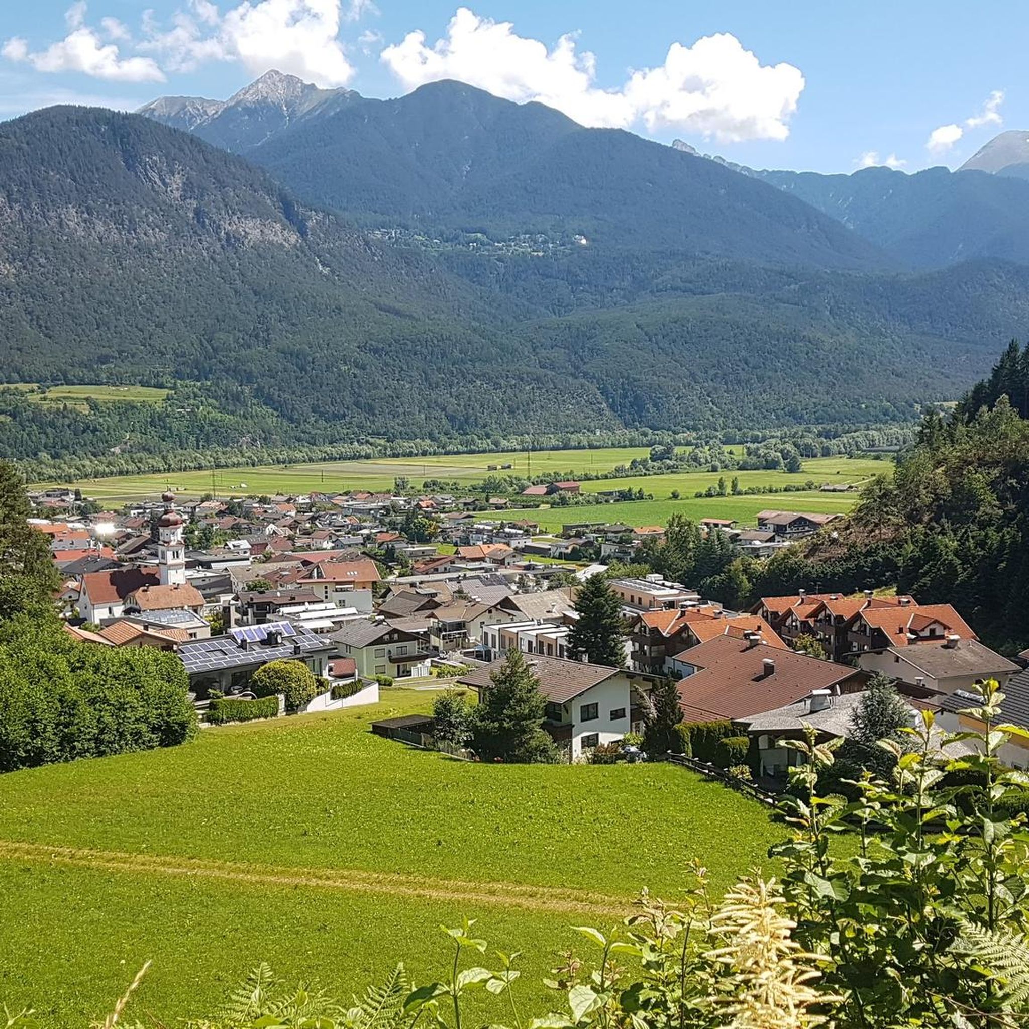
Tips from the Community

Beautiful alpine pasture, view of the Rangger Köpfl from behind.
0
0

The Oberhofer Galtalm is located directly above the Flauerlinger Alm and is open from mid-May to the end of September.
0
0

The Hochleithenkopf is a beautiful vantage point with an unobstructed view over the Inn Valley!
0
0

Only experienced skiers with snowshoes or skis should go further into the terrain.👍
2
0

Very nice and above all well-deserved stop after the demanding descent from the Krimpenbachsattel.
0
0

Danger! Hut NOT managed. But a great place to linger, recharge your batteries, fill up with water ;)
0
0

Wonderful view of Zirl and the adjacent mountain ranges. Great picnic spot. Here you can also watch planes approaching Innsbruck.
1
0
Beautiful, small alpine hut that is right behind Flaurlinger Alm. The hut is rustically furnished with countless loving details. A Galtalm is used to raise young cattle. Cattle for breeding include cows up to their first calving as well as bulls and oxen under 2 years of age.
0
0
Frequently Asked Questions
How many hiking trails are available around Polling in Tirol?
Polling in Tirol offers a vast network of nearly 560 hiking trails. These routes cater to all levels, with over 210 easy, 265 moderate, and 80 difficult options to explore the diverse Tyrolean landscape.
Are there any easy, family-friendly hikes in Polling in Tirol?
Yes, there are many easy trails suitable for families. A good option is the Hiking loop from Flaurling, which is 5.4 km long and takes about 1 hour 35 minutes, leading through varied local landscapes. The region's well-maintained trails make it accessible for all ages.
What kind of natural features or landmarks can I expect to see on hikes in Polling in Tirol?
The Polling in Tirol region, nestled in the Tyrolean Alps, is rich in natural beauty. You can discover impressive viewpoints like the View of Gaistal and the Mieming Range or the View of the Sellrain Valley. There are also beautiful water features such as the Leutasch Stream and the Waterfall on the Wasserfall-Steig Trail, offering picturesque scenery along your route.
Are there any circular hiking routes in the area?
Yes, many trails around Polling in Tirol are designed as loops, allowing you to start and end at the same point. For example, the Hochleithenkopf Viewpoint – Trail to Hochleithenkopf loop from Pettnau is a moderate 8.2 km route, offering a great circular experience through scenic terrain.
What is the best time of year for hiking in Polling in Tirol?
The Tirol region generally offers excellent hiking conditions from late spring through early autumn. During these months, the weather is typically mild, mountain huts are open, and the trails are clear of snow, allowing access to both valley walks and higher alpine routes. Always check local weather conditions before heading out.
Are there challenging hikes for experienced trekkers?
Absolutely. For experienced hikers seeking a challenge, Polling in Tirol offers difficult routes with significant elevation changes. A notable option is the Lake Taxer – Oberhofer Galtalm loop from Flaurlinger Joch, a demanding 10.9 km path that leads through high alpine terrain and requires good fitness and sure-footedness.
What do other hikers say about the trails in Polling in Tirol?
The hiking trails around Polling in Tirol are highly regarded by the komoot community, with an average rating of 4.6 stars from over 13,000 reviews. Hikers frequently praise the diverse landscapes, from gentle valley walks to impressive alpine views, and the well-marked nature of the extensive trail network.
Can I find mountain huts or places for refreshments along the trails?
Yes, the Tirol region is known for its rustic mountain huts and pastures located along many hiking trails. These provide excellent opportunities for rest, refreshments, and enjoying local culinary delights, enhancing your hiking experience in the Polling area.
Are there any hikes that offer particularly good viewpoints?
Many trails in Polling in Tirol lead to stunning viewpoints. The Trail to Hochleithenkopf – Hochleithenkopf Viewpoint loop from Pettnau is a moderate route specifically designed to take you to a scenic viewpoint, offering expansive vistas of the surrounding Tyrolean Alps.
What kind of terrain can I expect on the hiking trails?
The terrain around Polling in Tirol is highly varied, reflecting its location in the Tyrolean Alps. You can expect everything from gentle paths through green valleys and dense forests to more rugged trails in high alpine regions, featuring rocky sections and significant elevation changes. This diversity ensures there's a suitable path for every preference.
How well-marked are the hiking trails in Polling in Tirol?
The Tirol region is renowned for its impeccably marked trails. The extensive network of paths around Polling is well-maintained and clearly signposted, making navigation straightforward for hikers of all experience levels.
Are there any hikes near Polling in Tirol that are suitable for a quick outing?
Yes, if you're looking for a shorter hike, there are several options. The Hiking loop from Flaurling is an easy 5.4 km trail that can be completed in about 1 hour 35 minutes, perfect for a refreshing walk without committing to a full day.
Most popular routes around Polling in Tirol
Most popular attractions around Polling in Tirol

Get inspired with the komoot mobile app


Explore more
Browse the best Hikes in other regions.
