The best walks and hikes around Poliez-Pittet
4.4
(399)
2,821
hikers
226
hikes
Hiking trails around Poliez-Pittet, located in the Vaud canton of Switzerland, traverse a landscape characterized by agricultural land and significant forested areas. The region is part of the Gros-de-Vaud and extends towards the Jorat forests, where its highest point, Mont des Lex, reaches 852 meters. This blend of open fields and woodlands provides diverse terrain for outdoor activities.
Best hiking trails around Poliez-Pittet
- The most popular hiking route is Brigands Bridge – Refuge des Charbonnières loop from Jorat-Menthue, a…
Last updated: July 6, 2026
4.9
(28)
289
hikers
Easy hike. Great for any fitness level. Easily-accessible paths. Suitable for all skill levels.
4.8
(11)
44
hikers
6.83km
01:53
110m
110m
Easy hike. Great for any fitness level. Easily-accessible paths. Suitable for all skill levels.

Sign up for free
4.9
(10)
41
hikers
6.26km
01:43
100m
100m
Easy hike. Great for any fitness level. Easily-accessible paths. Suitable for all skill levels.
5.0
(3)
88
hikers
Easy hike. Great for any fitness level. Easily-accessible paths. Suitable for all skill levels.
4.6
(5)
16
hikers
5.46km
01:29
80m
80m
Easy hike. Great for any fitness level. Easily-accessible paths. Suitable for all skill levels.
Get access to more routes and recommendations from other explorers.
Sign up for free
Already have an account?
Our route recommendations are based on thousands of hikes, rides, and runs completed by other people on komoot.
Start today with a free account
Your next adventure awaits.
Login or Signup
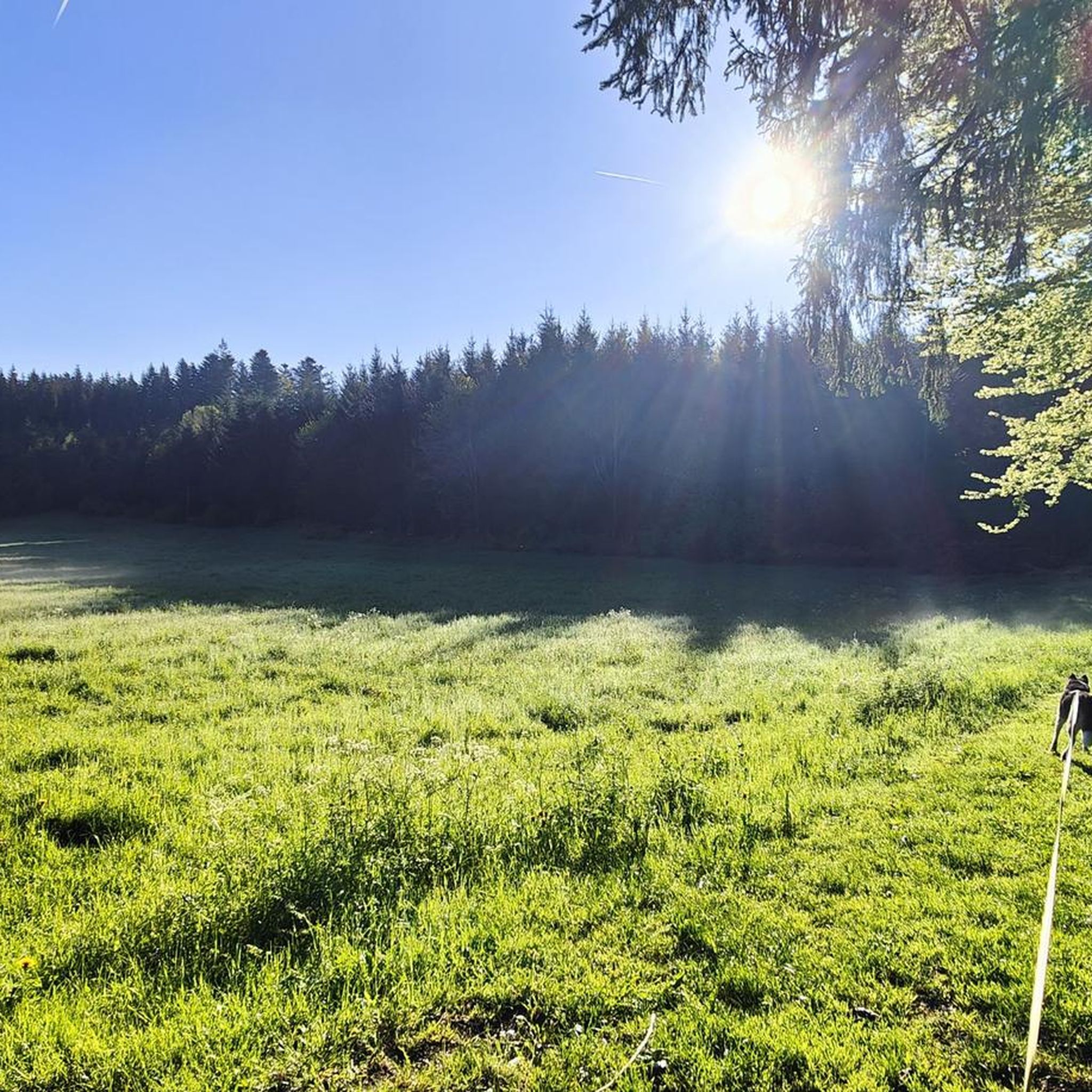
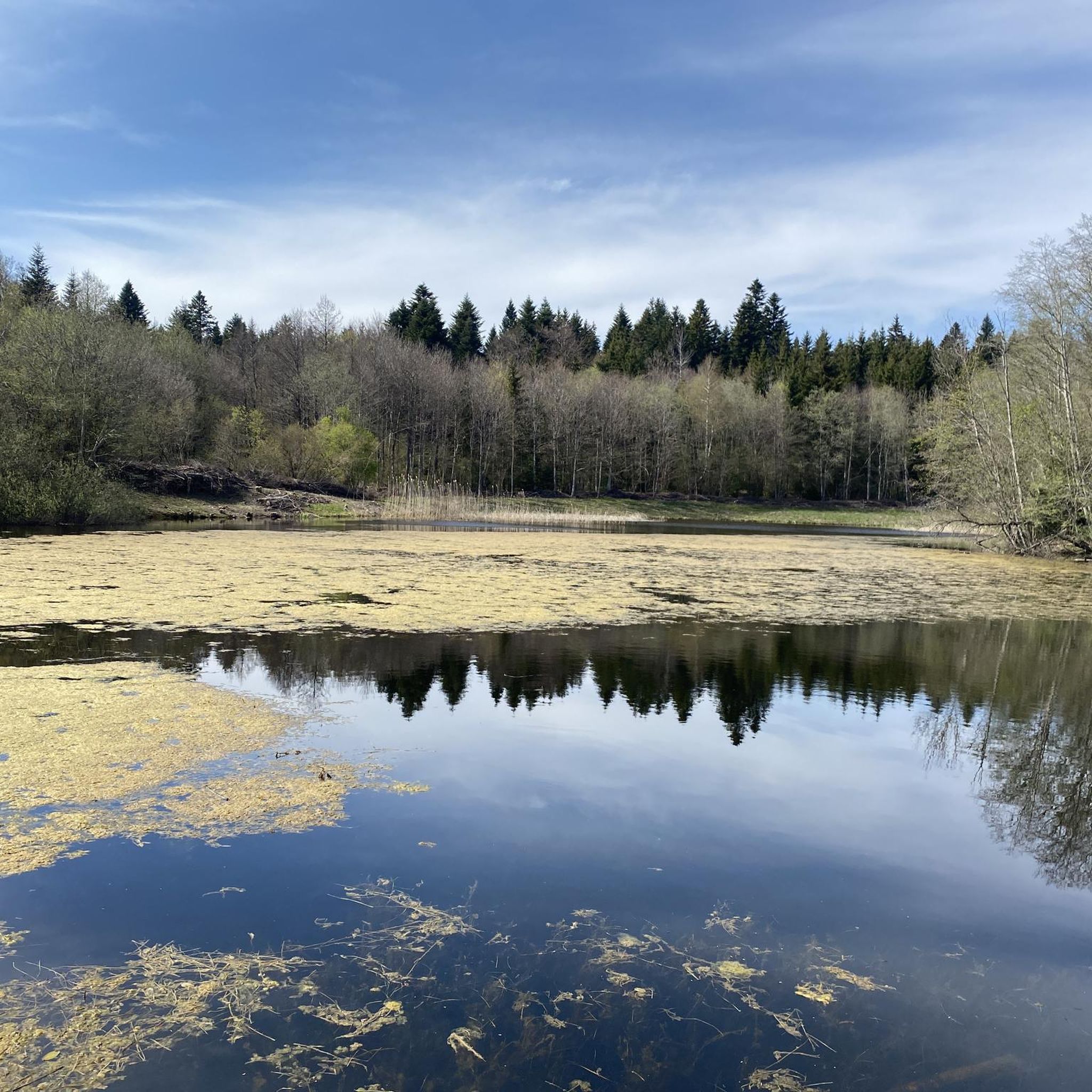
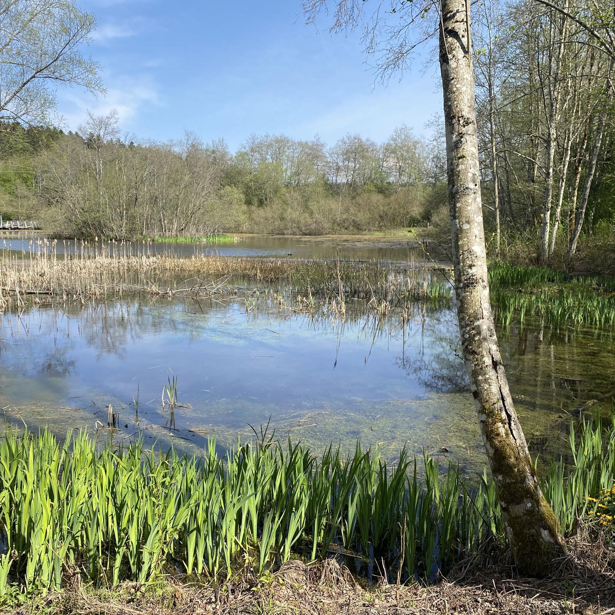
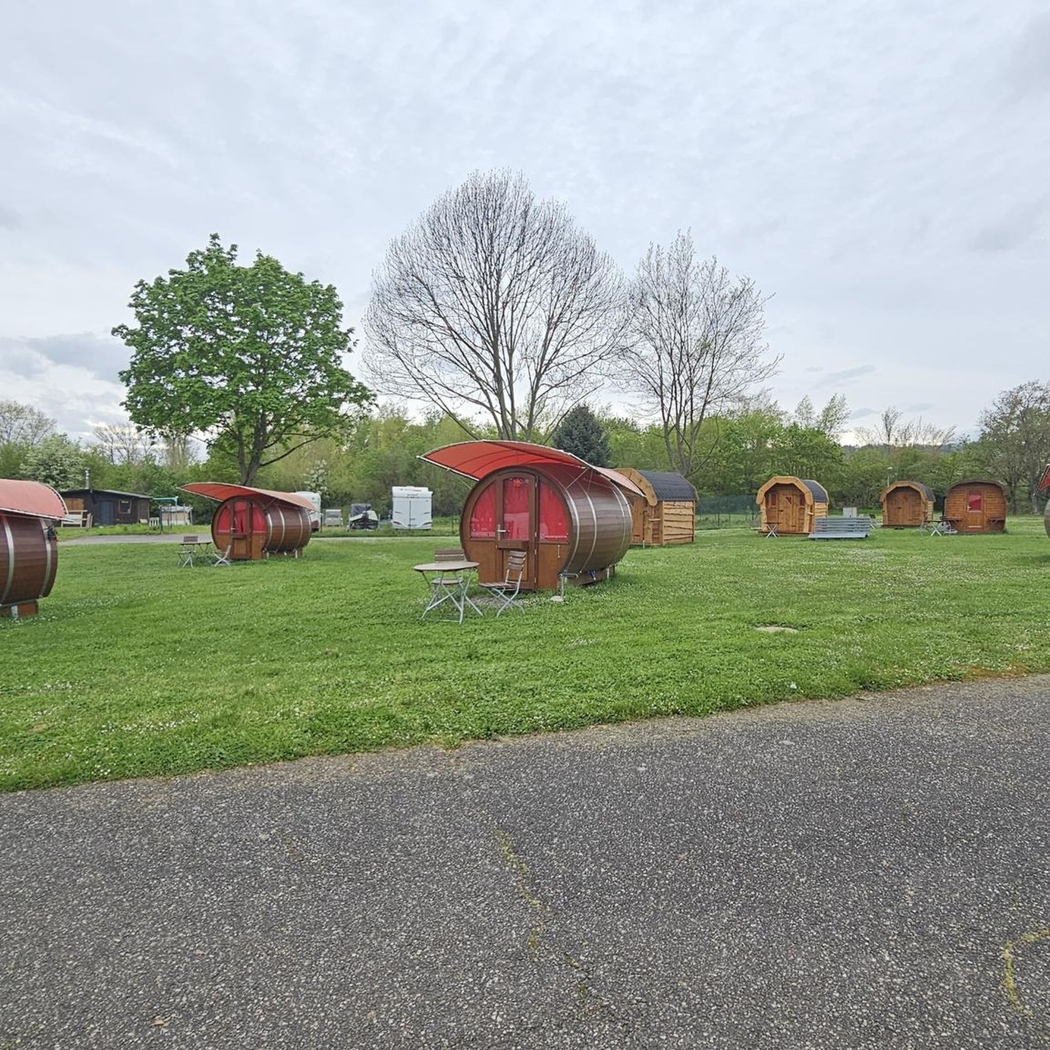
Tips from the Community


Very pretty place with a quiet climb along the Talent to the Chalet-à-Gobet
0
0
Wonderful craftsmanship!
0
0

A pretty walk in the forest very well designed for families, perfect with a rickshaw or a wheelchair. Animated throughout the circuit. A great discovery and a real pleasure.
0
0

Located in the heart of the forest, in a pretty clearing, this refuge offers simple, but friendly shelter. Wood stove (firewood available), gas lamps, water from the outdoor fountain and 45 seats are the basic equipment. Outside, a corner set up for grilling promises good times around the fire. Firewood is to be used only for the stove, please use charcoal for the outdoor grill. http://www.jorat-menthue.ch/
2
0
Covered in wood with bench, ideal for a break with a superb view of the Friborg Prealps, Dent de Lys, Moléson, Teysachaux
2
0

A didactic course deserves the visit with young children ... BRAVO to the builders of this magnificent forest site.
0
0
a nice place to fill gourds in hot weather
0
0
Frequently Asked Questions
How many hiking trails are available around Poliez-Pittet?
There are over 220 hiking trails around Poliez-Pittet, offering a wide range of options for all skill levels. This includes 120 easy routes, 104 moderate routes, and a few more challenging paths.
What kind of terrain can I expect on hikes in Poliez-Pittet?
Hikes in Poliez-Pittet traverse a diverse landscape. You'll find paths through agricultural zones, extensive forested areas, particularly within the Jorat forests, and across the Vaud plateau. The terrain varies from gentle, easy paths to more moderate routes with some elevation changes.
Are there family-friendly hiking options in Poliez-Pittet?
Yes, Poliez-Pittet offers several family-friendly hiking options. The region's diverse terrain includes easy paths suitable for all fitness levels, and some areas are known for amenities like picnic gazebos and play structures. The Cave – Picnic Gazebo with Fire Pit loop from Froideville is a moderate option that includes a picnic area.
Can I bring my dog on the hiking trails?
Many trails in the Poliez-Pittet area are dog-friendly, allowing you to enjoy the natural beauty with your canine companion. It's always recommended to keep dogs on a leash, especially in agricultural areas or near wildlife, and to respect local regulations.
What are some notable natural features or landmarks to see while hiking?
While hiking around Poliez-Pittet, you can explore the extensive Jorat forests and reach the highest point, Mont des Lex, at 852 meters. Natural attractions include the Grotte de Talent near the Talent river. You might also encounter beautiful viewpoints like the View of Lake Léman and the French Alps.
Are there any historical sites along the hiking routes?
Yes, a short hike along the Talent river can lead you to the picturesque Montheron Abbey. The Montheron Abbey – Abbaye de Montheron loop from Froideville is a popular route that incorporates this historical interest.
What do other hikers say about the trails in Poliez-Pittet?
The hiking routes in Poliez-Pittet are highly rated by the komoot community, with an average score of 4.4 stars from over 370 reviews. More than 2700 hikers have used komoot to explore the varied terrain, often praising the quiet woodlands and well-maintained paths.
Are there circular hiking routes available?
Yes, Poliez-Pittet offers several excellent circular hiking routes. Popular options include the Brigands Bridge – Refuge des Charbonnières loop from Jorat-Menthue and the slightly longer Refuge des Charbonnières – Brigands Bridge loop from Jorat-Menthue, both exploring the Jorat forests.
What is the best time of year to go hiking in Poliez-Pittet?
The best time to hike in Poliez-Pittet is generally from spring through autumn, when the weather is mild and the trails are clear. The Jorat forests offer pleasant shade during warmer months, and the agricultural landscapes are vibrant. Winter hiking is possible, but some trails may be snowy or icy, requiring appropriate gear.
Where can I find parking for trailheads in Poliez-Pittet?
Parking is generally available near popular trailheads in and around Poliez-Pittet. Specific parking information can often be found on individual route descriptions on komoot, or by checking local signage near villages like Froideville or Jorat-Menthue, which serve as starting points for many hikes.
Are there any lakes or viewpoints to discover near Poliez-Pittet?
Yes, the region offers beautiful natural spots. You can find serene lakes such as Étang du Bois Neuf and Étang du Buron. For panoramic views, look for spots that offer a View of Lake Léman and the French Alps.
Most popular routes around Poliez-Pittet
Most popular attractions around Poliez-Pittet

Get inspired with the komoot mobile app


Explore more
Browse the best Hikes in other regions.
