The best cycling routes in Sierra De Hornachuelos
4.2
(16)
530
riders
32
rides
Touring cycling in Sierra De Hornachuelos offers routes through a diverse landscape of massifs, ravines, and elevated plains within a declared Natural Park and Biosphere Reserve. The region is characterized by extensive Mediterranean forests of holm oaks, cork oaks, and gall oaks, alongside lush riparian forests along its main rivers. Cyclists will encounter picturesque reservoirs, such as the Bembézar Reservoir, and the unique "Dehesa" system, which blends open oak groves with pastureland. The varied topography includes both challenging ascents and scenic stretches, providing a range of experiences for touring cyclists.
Best touring cycling routes in Sierra De Hornachuelos
- The most popular touring cycling route is Circular Route of Hornachuelos and Las Navas, a 45.9 miles (74.0 km) trail that takes 4 hours 47 minutes to complete. This route traverses Mediterranean forests and offers views of the park's diverse wildlife.
- Another top favourite among local touring cyclists is Embalse de la Breña from Hornachuelos — circular through the Sierra de Hornachuelos Natural Park, a difficult 42.0 miles (67.6 km) path. This route offers panoramic views of the Embalse de la Breña reservoir and the surrounding natural park.
- Local touring cyclists also love the Bembézar Dam – Junction towards the Silver Mines loop from Hornachuelos, a 31.1 miles (50.0 km) trail leading through Mediterranean woodlands and past the Bembézar Dam, often completed in about 3 hours 14 minutes.
- Touring cycling in Sierra De Hornachuelos is defined by Mediterranean forests, river valleys, and scenic reservoirs, with routes offering options for different ability levels.
- The routes in Sierra De Hornachuelos are highly rated by the komoot community with an average score of 4.1 stars from over 15 reviews. More than 400 touring cyclists have used komoot to explore Sierra De Hornachuelos's varied terrain.
Last updated: August 21, 2026
5.0
(1)
14
riders
74.0km
04:48
1,030m
1,030m
Cycle a challenging 46.0 miles (74.0 km) route through Hornachuelos Sierra Natural Park, featuring Mediterranean forests and wildlife.
Hard bike ride. Very good fitness required. Mostly paved surfaces. Suitable for all skill levels.

Sign up for free
8
riders
37.5km
02:29
590m
590m
Hard bike ride. Very good fitness required. Mostly paved surfaces. Suitable for all skill levels.
3.0
(1)
6
riders
35.5km
02:53
620m
620m
Hard bike ride. Very good fitness required. Mostly paved surfaces. Suitable for all skill levels.
6
riders
32.8km
02:03
370m
370m
Moderate bike ride. Good fitness required. Mostly paved surfaces. Suitable for all skill levels.
Get access to more routes and recommendations from other explorers.
Sign up for free
Already have an account?
Our route recommendations are based on thousands of hikes, rides, and runs completed by other people on komoot.
Start today with a free account
Your next adventure awaits.
Login or Signup
Popular around Sierra De Hornachuelos


Other adventures in Sierra De Hornachuelos

Tips from the Community

Non-cycling route in many sections. Fences with padlocks Not recommended for bikes Yes for hiking
0
1

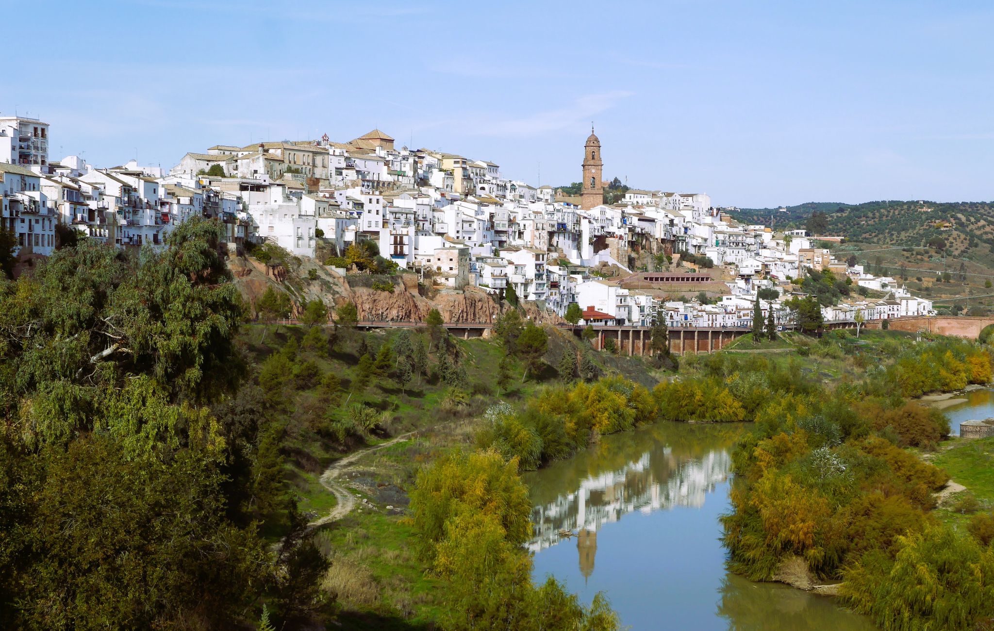
The town retains its Arab structure with steep and narrow streets as well as buildings from that era, among which the Arab fortress stands out. In its old town, you can also see the Town Hall building, its Gothic church, and the homage tower of its castle in the Plaza de Armas.
0
0
The town of San Calixto, about 17 km from Hornachuelos, is located in the heart of the Natural Park. Its origin is found in the ancient and legendary Monastery of Tardón, founded in the 16th century. XVI by Brother Mateo de la Fuente, disciple of Saint John of Ávila and hermit from the wilderness of Córdoba, in the company of Brother Diego Vidal. Due to their reputation for holiness, many others joined them. Installed in some mountains heavily populated with thistles, which is why they called it Cardón, in a hut that served as their church, they placed an image of Saint Michael. Over time, these anchorites decided to live under one of the rules approved by the church, and chose that of San Basilio, founding in 1543 the Monastery of San Basilio del Tardón, a nickname derived from Cardón, which remained inhabited by monks until the year 1808. Twenty years later, Francisco Sánchez Gadeo founded the last of the New Towns of Sierra Morena, protected by the repopulating spirit of Carlos III and following his colonizing precepts. In memory of the day of the birth of King Ferdinand VII, October 14, the name of San Calixto was given to the new town.
0
0
In the North of the Province of Córdoba, and following the local road CO-5314 that enters the Sierra de Hornachuelos, in the municipality of Posadas we find an old mining exploitation "Las Minas de la Plata", which despite its Abandoned state, it has become an obligatory route for hikers and hikers thanks to its great scenic beauty. At the foot of the road we find a series of abandoned buildings belonging to the Spanish-German company Sociedad Especial Minera Santa Bárbara, which was responsible for the exploitation of the mine at the end of the 19th century. These mines, which were already exploited by the Romans, were closed in 1914 due to World War I, since the material obtained was melted down in Belgium and with the war they could no longer be transported to the foundries.
0
0
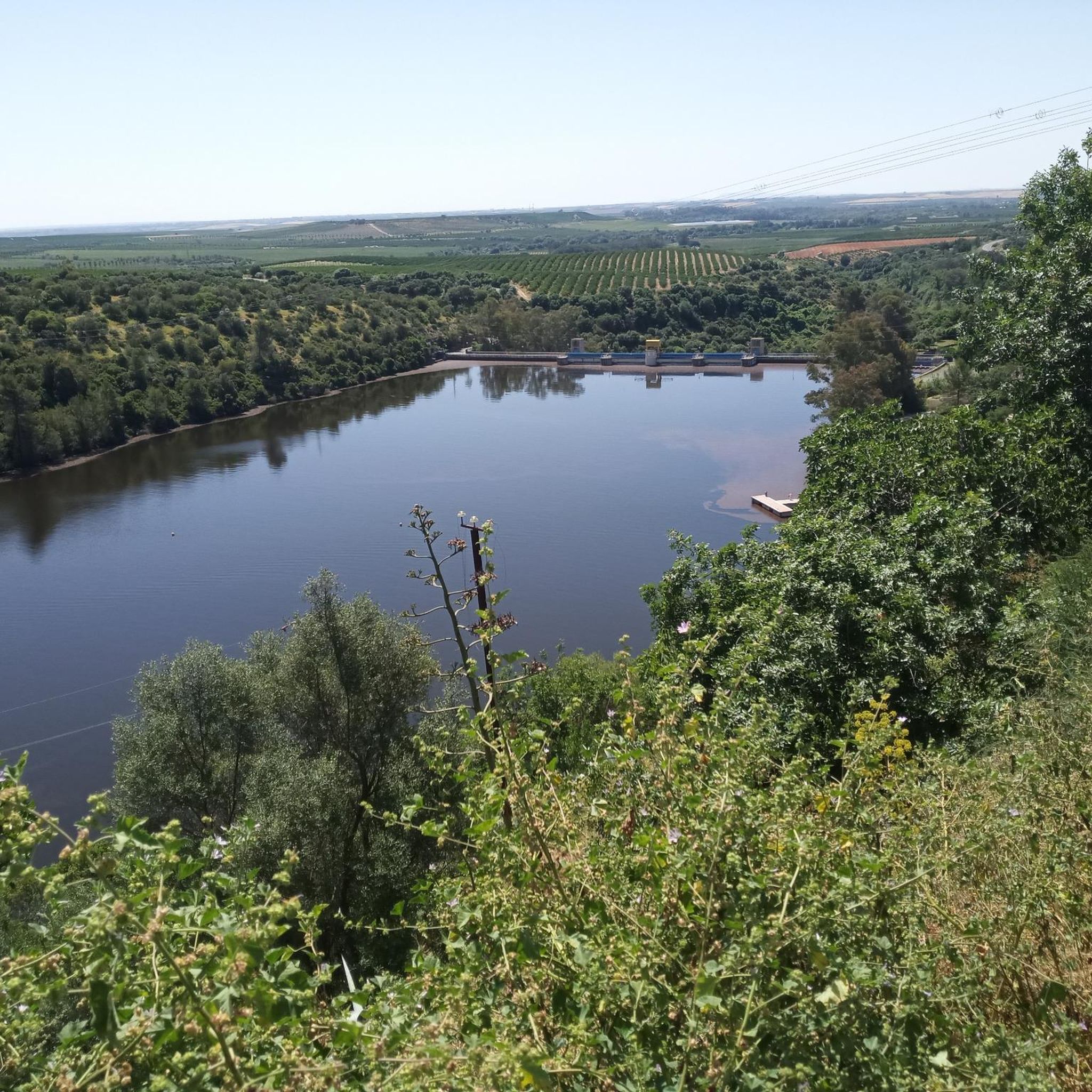
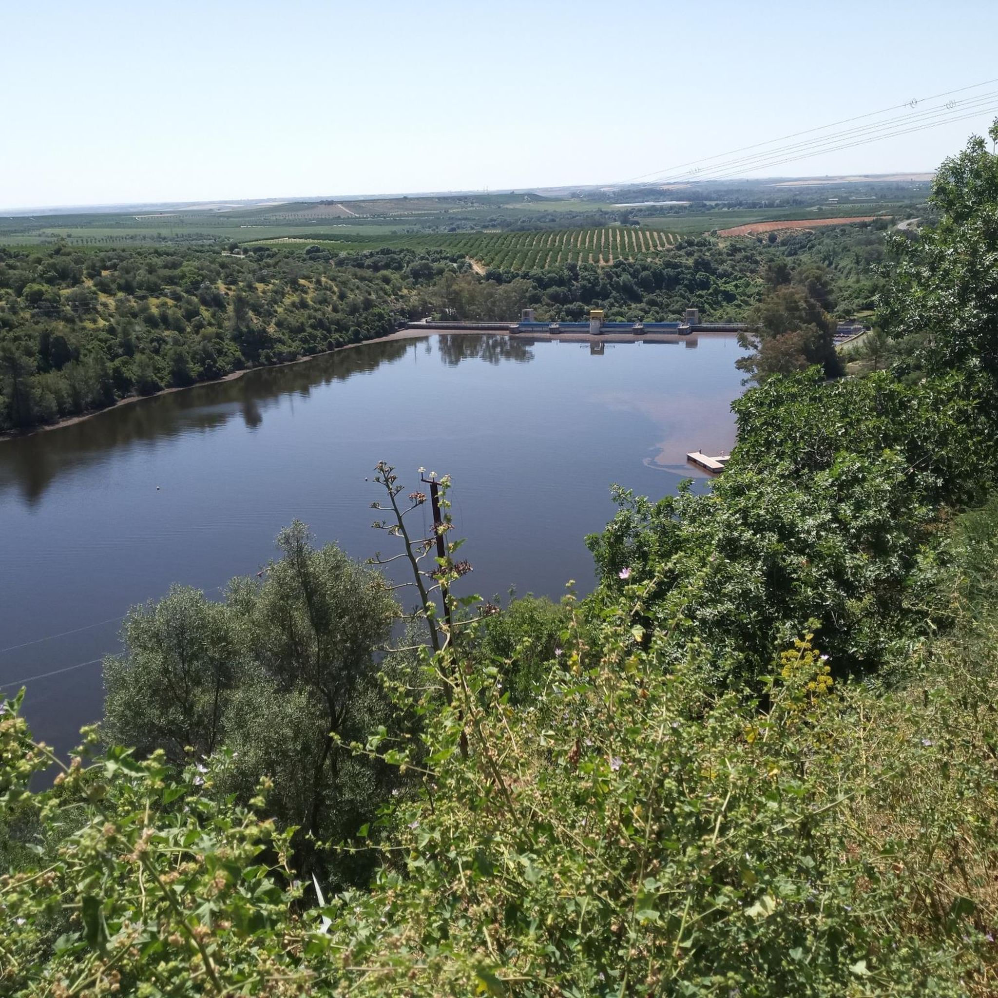
Beautiful path next to the dammed Bembézar River. Halfway there you can see the Santa María de Los Ángeles Seminary on the other shore. Path practically without unevenness, closed, with two gates along the route.
0
0

It is a watchtower tower built in the 15th century with the aim of dealing with possible Muslim attacks. It is part of the set of fortifications located on the defensive line of the road between Córdoba and Seville. There is currently a project to enhance the value that will allow the tower to be visited from the inside.
3
0
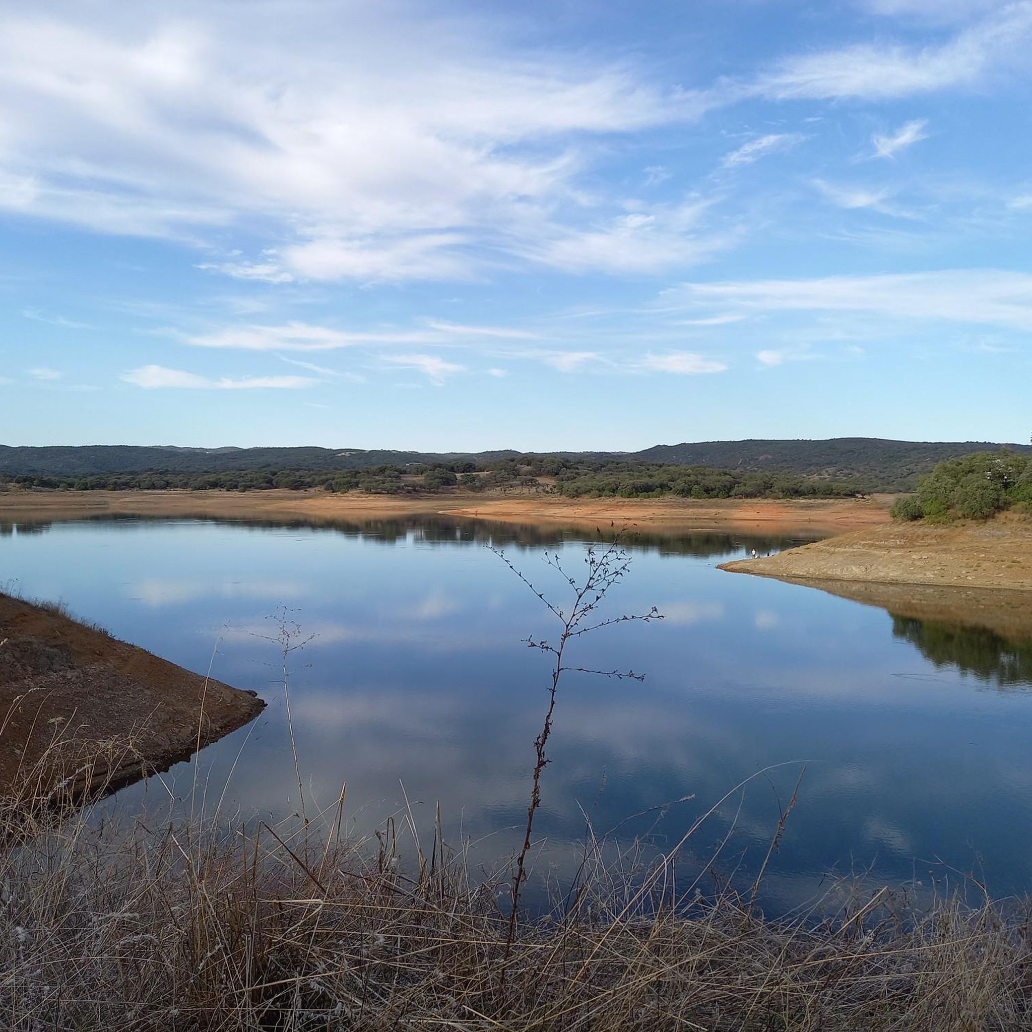
Located between the municipalities of Hornachuelos and Espiel, this reservoir was built in the 50s of the last century. It collects the waters of numerous rivers and streams, among which the Benajarafe and the Névalo stand out, both belonging to the Guadalquivir hydrographic basin.
2
0
This small rock-cut sanctuary is located on the outskirts of the town of Hornachuelos. It is a good place to refill your water bottle and admire the care with which the altar is decorated.
3
0
Frequently Asked Questions
How many touring cycling routes are available in Sierra De Hornachuelos?
There are over 20 touring cycling routes in Sierra De Hornachuelos, offering a variety of experiences through its diverse landscapes. Most of these routes are considered difficult, with a few moderate options available.
What kind of terrain can I expect on touring cycling routes in Sierra De Hornachuelos?
The terrain in Sierra De Hornachuelos is varied, featuring massifs, ravines, elevated plains, and deep gorges carved by rivers like the Bembézar and Guadalora. You'll cycle through extensive Mediterranean forests of holm oaks and cork oaks, and along picturesque reservoirs. While many routes are paved, some segments may be unpaved and challenging, requiring good fitness.
Are there any circular touring cycling routes in the area?
Yes, Sierra De Hornachuelos offers several circular touring cycling routes. For example, the Circular Route of Hornachuelos and Las Navas is a popular option, traversing Mediterranean forests and showcasing the park's wildlife.
What natural features or landmarks can I see along the touring cycling routes?
You can expect to see stunning natural features and landmarks. The routes often pass by significant bodies of water like the Bembézar Dam and the Retortillo Reservoir. You might also encounter viewpoints such as the View of the Seminario de los Ángeles, offering panoramic vistas of the park's landscapes and the Bembézar River.
What is the best time of year to go touring cycling in Sierra De Hornachuelos?
The best time to visit Sierra De Hornachuelos for touring cycling is during autumn or spring. These seasons offer more moderate temperatures, making outdoor activities more enjoyable. Summer and winter can present extreme temperatures that might hinder your cycling experience.
What kind of wildlife might I encounter while cycling?
Sierra De Hornachuelos is a haven for wildlife. You might spot various bird species, including cinereous vultures, griffon vultures, golden eagles, and Spanish imperial eagles. Terrestrial animals like wild boars, deer, otters, and Egyptian mongooses also inhabit the park. The 'berrea' (rutting season) of red deer in autumn is a particularly spectacular event.
Are there any moderate difficulty touring cycling routes for less experienced cyclists?
While most routes are challenging, there are a few moderate options. The Arroyo Guadalora – Retortillo Reservoir loop from Hornachuelos is a moderate route, covering about 32.8 km with a more manageable elevation gain, making it suitable for those looking for a less strenuous ride.
What do other touring cyclists say about their experience in Sierra De Hornachuelos?
The area is highly rated by the komoot community, with an average score of 4.1 stars from over 15 reviews. Cyclists often praise the beautiful Mediterranean forests, the scenic reservoirs, and the diverse terrain that offers options for different ability levels.
Are there any routes that offer views of the Embalse de la Breña reservoir?
Yes, the Embalse de la Breña from Hornachuelos — circular through the Sierra de Hornachuelos Natural Park route offers panoramic views of the Embalse de la Breña reservoir and the surrounding natural park. This is a challenging route, ideal for experienced cyclists.
Are there any specific points of interest related to dams or reservoirs?
Absolutely. The region is known for its picturesque reservoirs. You can cycle past the Bembézar Dam, which is a prominent feature in several routes, and also the Hornachuelos Dam. These offer great photo opportunities and tranquil settings.
What kind of vegetation can I expect to see along the cycling paths?
The park boasts some of Europe's best-preserved Mediterranean forests. You'll cycle through extensive woodlands of holm oaks, cork oaks, and gall oaks. Along riverbanks, you'll find lush riparian forests with willows, ash trees, and poplars. The unique 'Dehesa' system, blending open oak groves with pastureland, is also a defining feature of the region's vegetation.
Most popular routes in Sierra De Hornachuelos
Most popular attractions in Sierra De Hornachuelos

Get inspired with the komoot mobile app


Explore more
Browse the best Cycling routes in other regions.
