The 9 Most Amazing Peaks in Sierra De Grazalema
Best mountain peaks in Sierra De Grazalema are found within a UNESCO Biosphere Reserve, characterized by a dramatic karstic landscape. This region offers impressive mountain peaks with panoramic views and unique ecosystems. The area is home to the rare Spanish firs (Abies pinsapo) and provides challenging hikes.
Best mountain peaks in Sierra De Grazalema
- The most popular mountain peak is El Torreón Peak, a summit that is the highest prominence in the province of Cádiz. From its 1654 meters,…
Last updated: July 1, 2026
El Torreón Peak
Highlight • Summit
Translated by Google •
Tip by

Simancón Peak
Highlight • Summit
Translated by Google •
Tip by
Sign up now to discover places like this
Get recommendations on the best single tracks, peaks, & plenty of other exciting outdoor places.
Sign up for free
Albarracín Peak
Highlight • Summit
is located in a hunting area, but is still accessible
Translated by Google •
Tip by

View of the Simancón and Reloj peaks
Highlight • Viewpoint
Translated by Google •
Tip by
Sierra del Pinar Ridge
Highlight (Segment) • Summit
Translated by Google •
Tip by
Start today with a free account
Your next adventure awaits.
Login or Signup
Popular around Sierra De Grazalema

Triathlon 360 – my journey around the world
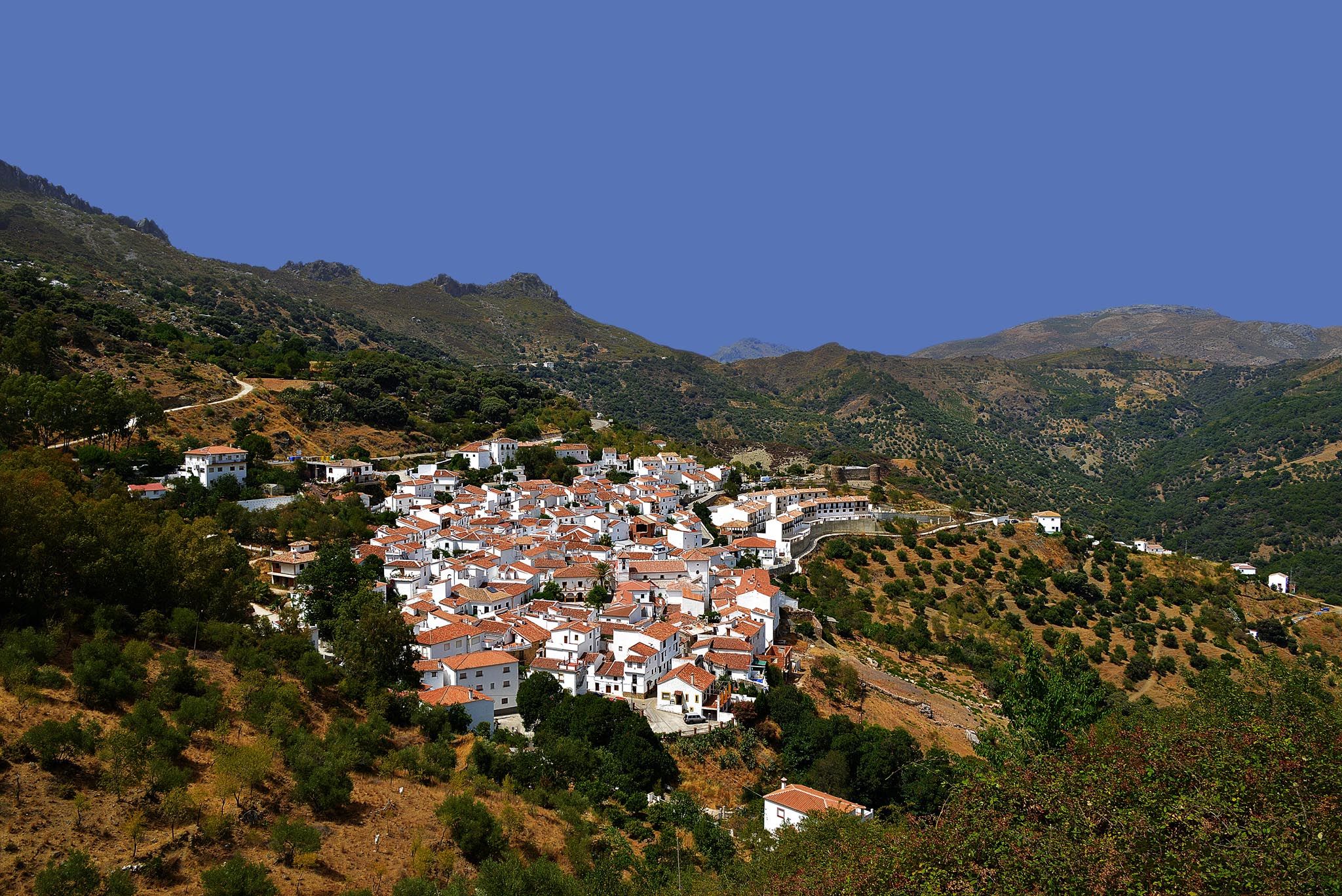
Windows to the past – White Towns of Andalusia
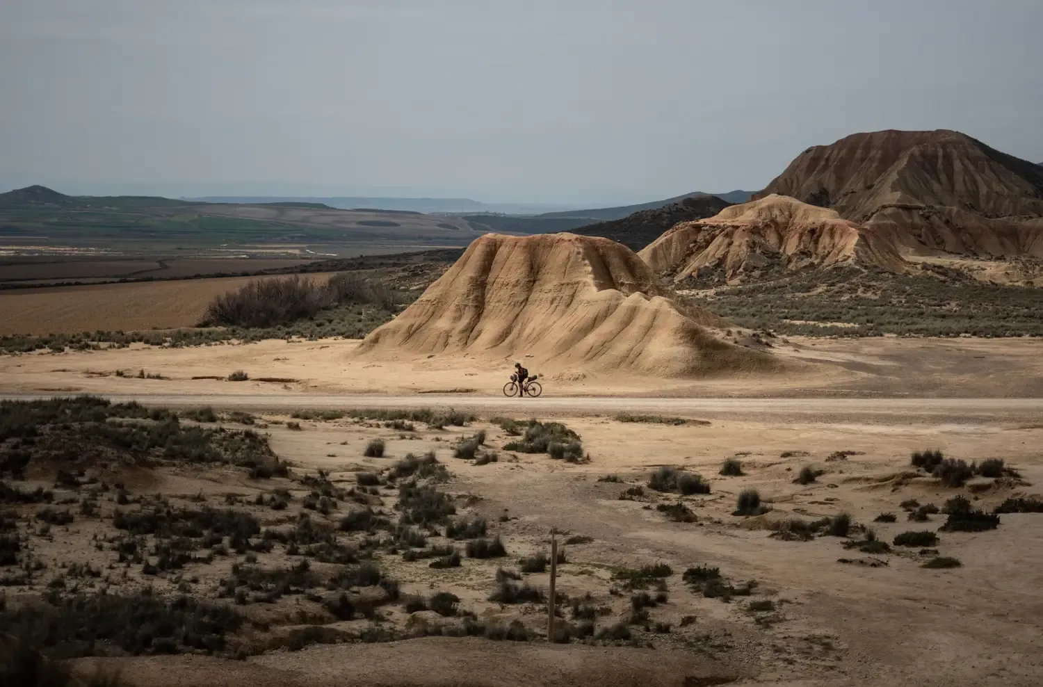
9 mountain biking routes in undiscovered Spain
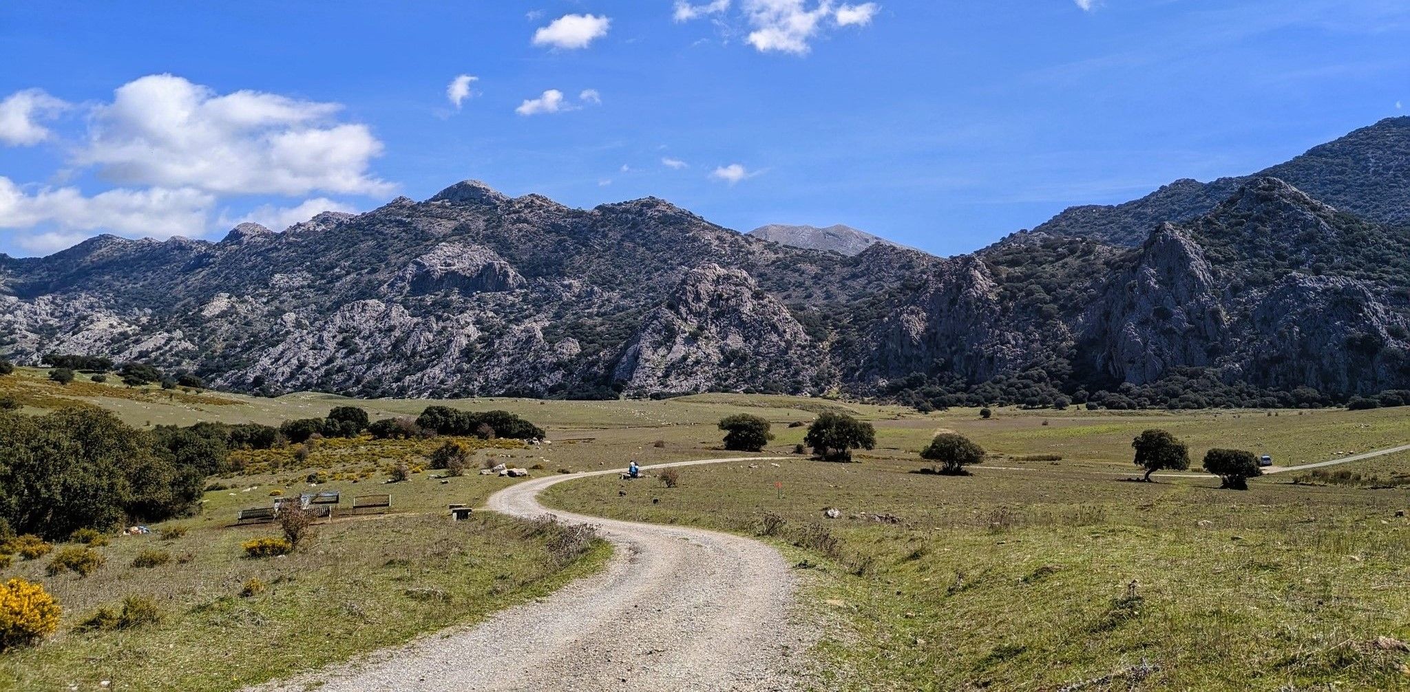
Between the mountains and villages of Cadiz – Sierra de Grazalema

Andalusia without limits – Tarifa to La Puebla de Don Fabrique on the GR 7
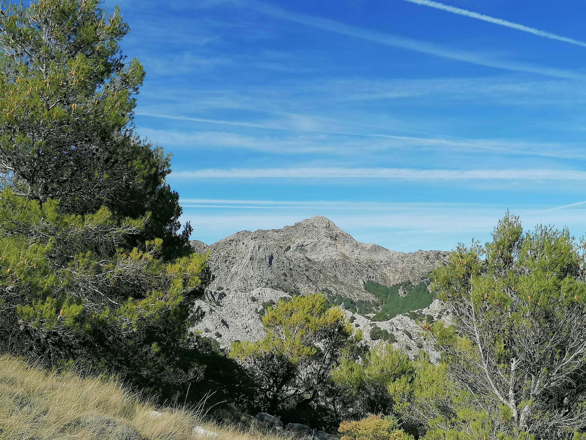
Iconic summits on foot – Sierra de Grazalema Natural Park

Hike between sea and mountains — Gran Senda de Málaga (GR 249)
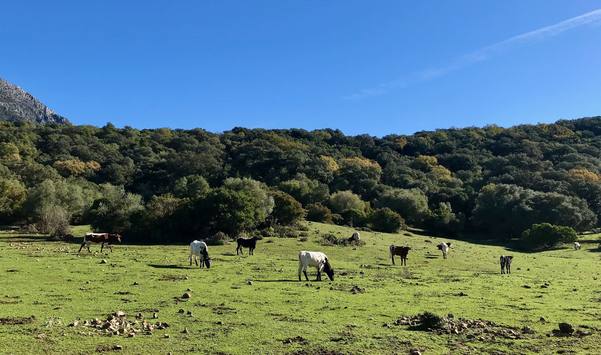
An encounter with nature – Spain’s Sierra de Grazalema Natural Park
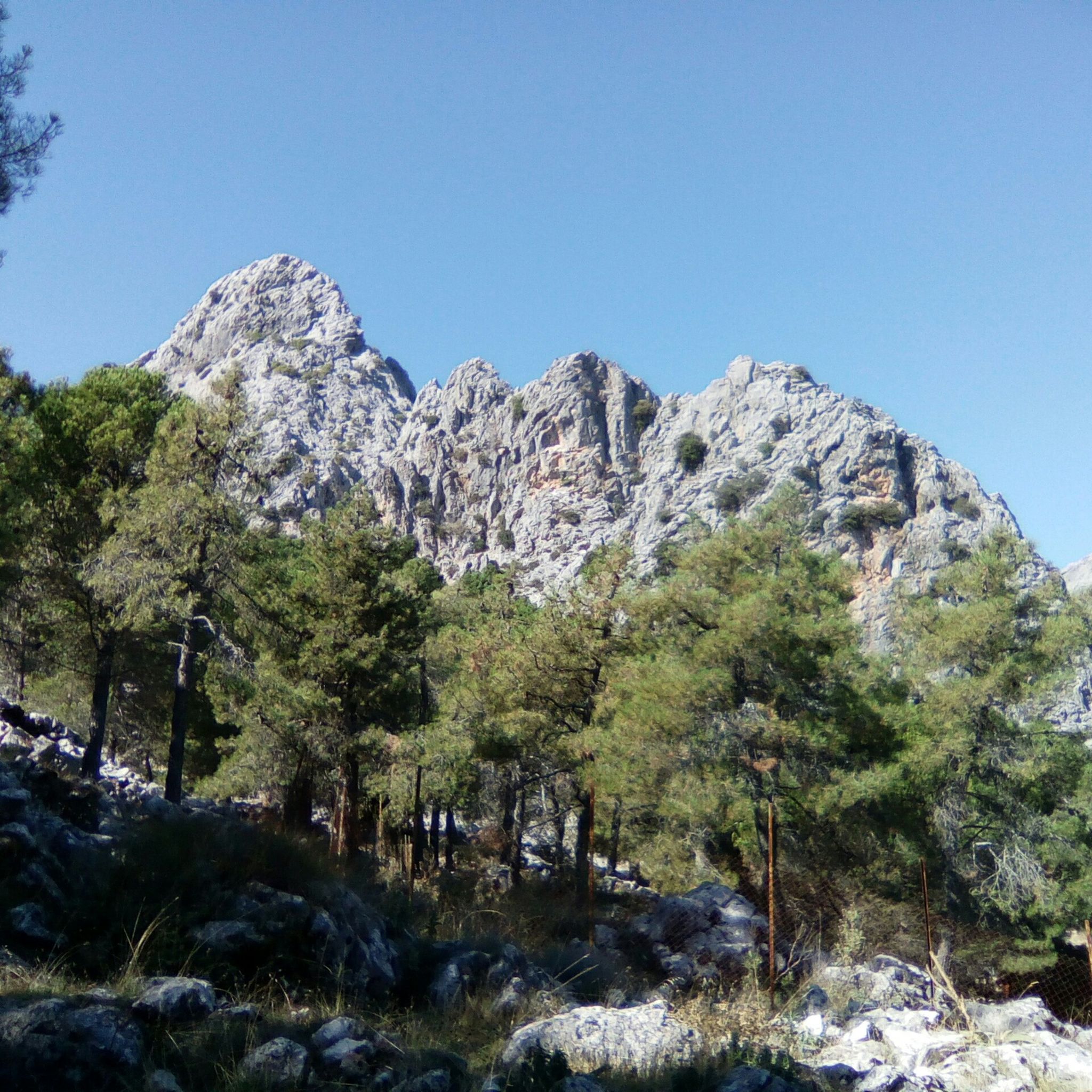
Hiking in Sierra De Grazalema
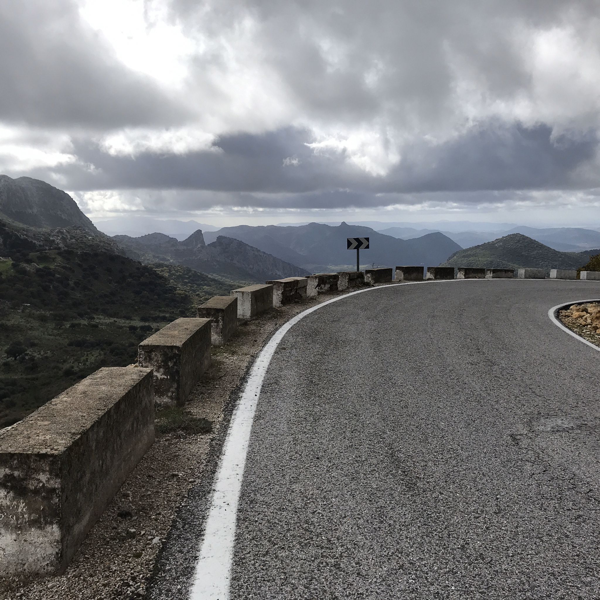
Road Cycling Routes in Sierra De Grazalema
Other adventures in Sierra De Grazalema


Tips from the Community

Climbing the Simancon from the west side was easy and quite fun. Same goes for the Reloj. Luckily we had a very clear day and could see all the way upto Mulhacen in the Sierra Nevada and parts of Africa. However, descending from the Simancon was not easy at all. It was difficult to find a specific route and one has to be very careful.
0
0

You need a permit to do the hike. It can be found through the process on this website https://grazalemaguide.com/blog/how-to-get-a-permission-for-restricted-footpaths-in-the-sierra-de-grazalema/
0
0

caution, some paths at the top have disappeared due to landslides. We were stuck and had to clear our own path to continue. Dangerous.
0
0

What a great view - 360°! The path here is steep but well maintained! Unfortunately, you can only get to the summit with a (free) permit (approx. 20 people/day) - register in advance! - . From the north, El Torreon is a steep wall, from the southwest: a real mountain path! It's worth it!
0
0
An interesting ascent/descent to the summit, pathless with beautiful friction plates (if you can find them: occasionally small yellow arrows on the rock), but hands are not needed, if the visibility is good: fantastic!
2
0

Incredible panoramic views of the Grazalema mountain range with the imposing Torreón in front of you. The ascent from El Bosque is tough, especially the final part before reaching the summit.
2
0
I did it today and, following the instructions on the app, it is very very dangerous, not recommended at all (at least the part from the forest to the peak) you can access it safely from Benamahoma
0
0

Good view of El Bosque and Benamanoma.
2
0
Frequently Asked Questions
What are the most prominent mountain peaks in Sierra De Grazalema?
The Sierra de Grazalema Natural Park features several impressive peaks. Among the most notable are El Torreón Peak, the highest point in Cádiz province at 1,654 meters, offering incredible 360-degree views. Another highly sought-after summit is Simancón Peak, standing at 1,566 meters, which provides unparalleled views of the Sierra del Pinar. Pico del Reloj, at 1,535 meters, is often climbed in conjunction with Simancón.
Which peaks offer the best panoramic views in Sierra De Grazalema?
For breathtaking panoramic views, El Torreón Peak is highly recommended. From its 1,654-meter summit, you can enjoy a 360-degree vista that, on clear days, extends to the Rock of Gibraltar and even the African coast. Simancón Peak also offers unbeatable views of the Sierra del Pinar, and on exceptionally clear days, you might see the Serranía de Ronda, Sierra de las Nieves, Sierra Nevada, and North Africa.
Are permits required to hike certain peaks in Sierra De Grazalema?
Yes, to access the trail leading to El Torreón Peak, a permit is required. This helps preserve the sensitive environment, particularly the unique Spanish fir (Pinsapar) forests at its base. It's advisable to register in advance, as access is limited to approximately 20 people per day.
What unique natural features can I expect to see when visiting the peaks?
The Sierra de Grazalema Natural Park is a UNESCO Biosphere Reserve known for its dramatic karstic landscape, including deep gorges and chasms. A significant natural feature is El Pinsapar, a rare forest of Spanish firs (Abies pinsapo) found at the base of El Torreón Peak. The region is also one of the rainiest in Spain, contributing to lush vegetation and a vibrant environment, especially in spring.
What is the best time of year to hike the mountain peaks in Sierra De Grazalema?
The Sierra de Grazalema is known for its high rainfall, which contributes to its lush environment. Spring is particularly vibrant with blooming flowers. While clear days offer expansive views, be prepared for varying weather. It's generally best to check seasonal weather conditions before planning your hike, especially for higher peaks like El Torreón.
How challenging are the mountain peaks in Sierra De Grazalema?
The mountain peaks in Sierra de Grazalema offer challenging and rewarding hikes. Peaks like El Torreón and Simancón involve significant elevation gain and can be demanding, with some sections being technical or having loose rocks, particularly on descents from peaks like Pico del Reloj. The paths are often well-maintained but require effort.
Can I combine multiple peaks into one hike?
Yes, it's common to combine hikes to certain peaks. For instance, Simancón Peak and Pico del Reloj are often climbed together, as they are linked by a karstic rope approximately 300 meters long, making it a short walk between the two summits.
What kind of wildlife can I spot around the mountain peaks?
The Sierra de Grazalema Natural Park is rich in biodiversity. It is home to a large colony of griffon vultures, which can often be seen soaring above the peaks. Various mammals also inhabit the park, making it a great area for wildlife observation.
Are there hiking trails available near these mountain peaks?
Yes, the region offers a variety of hiking trails. For more challenging mountain experiences, you can explore routes like the "Pico del Torreón Summit View – El Torreón Summit, 1,654 m loop from El Torreón" or the "View of Grazalema – Grazalema loop from Grazalema." You can find more options in the Mountain Hikes in Sierra De Grazalema guide. For moderate options, consider the "Puerto de las Presillas Trail" or "Majaceite River Trail," detailed in the Hiking in Sierra De Grazalema guide.
Are there any easy or family-friendly options for exploring the area around the peaks?
While many peaks offer challenging climbs, there are easier hiking options in the broader Sierra de Grazalema region. For example, you can find routes like "Natural Monument Cueva del Gato via the Guadiaro River" or the "Majaceite River Trail – Honda Waterfall of Benamahoma loop from El Bosque." These and other accessible trails are listed in the Easy hikes in Sierra De Grazalema guide.
What do visitors appreciate most about the mountain peaks in Sierra de Grazalema?
Visitors frequently highlight the incredible 360-degree views from summits like El Torreón, often describing them as "fantastic" and "worth it." The well-maintained but steep paths, the sense of accomplishment upon reaching the top, and the unique natural beauty, including the ancient Spanish fir forests, are also highly valued.
Most popular routes in Sierra De Grazalema
Most popular attractions in Sierra De Grazalema

Get inspired with the komoot mobile app


Explore more
See even more amazing summits in Sierra De Grazalema with these guides:
