The best walks and hikes in Sierra De Baza
4.6
(52)
255
hikers
39
hikes
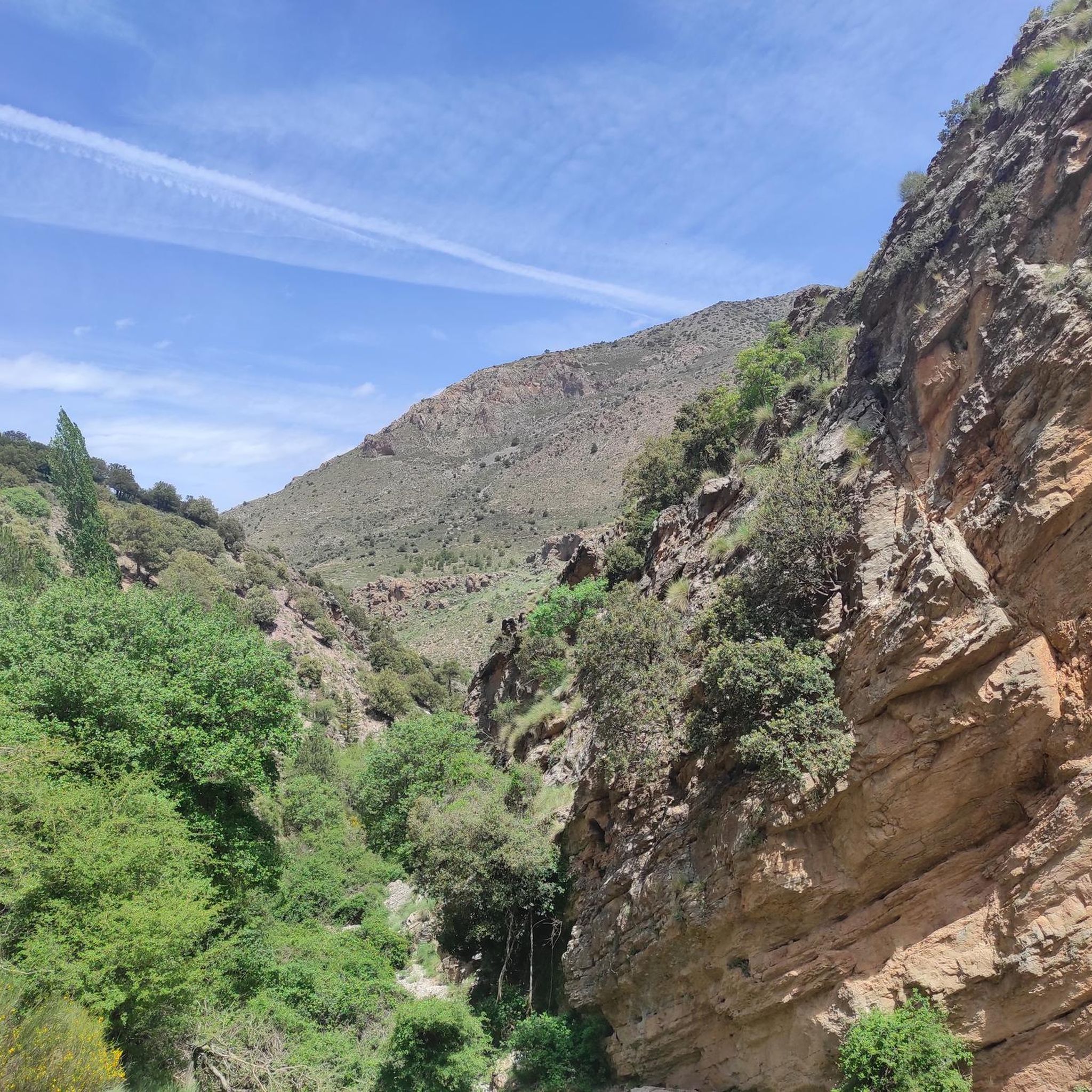
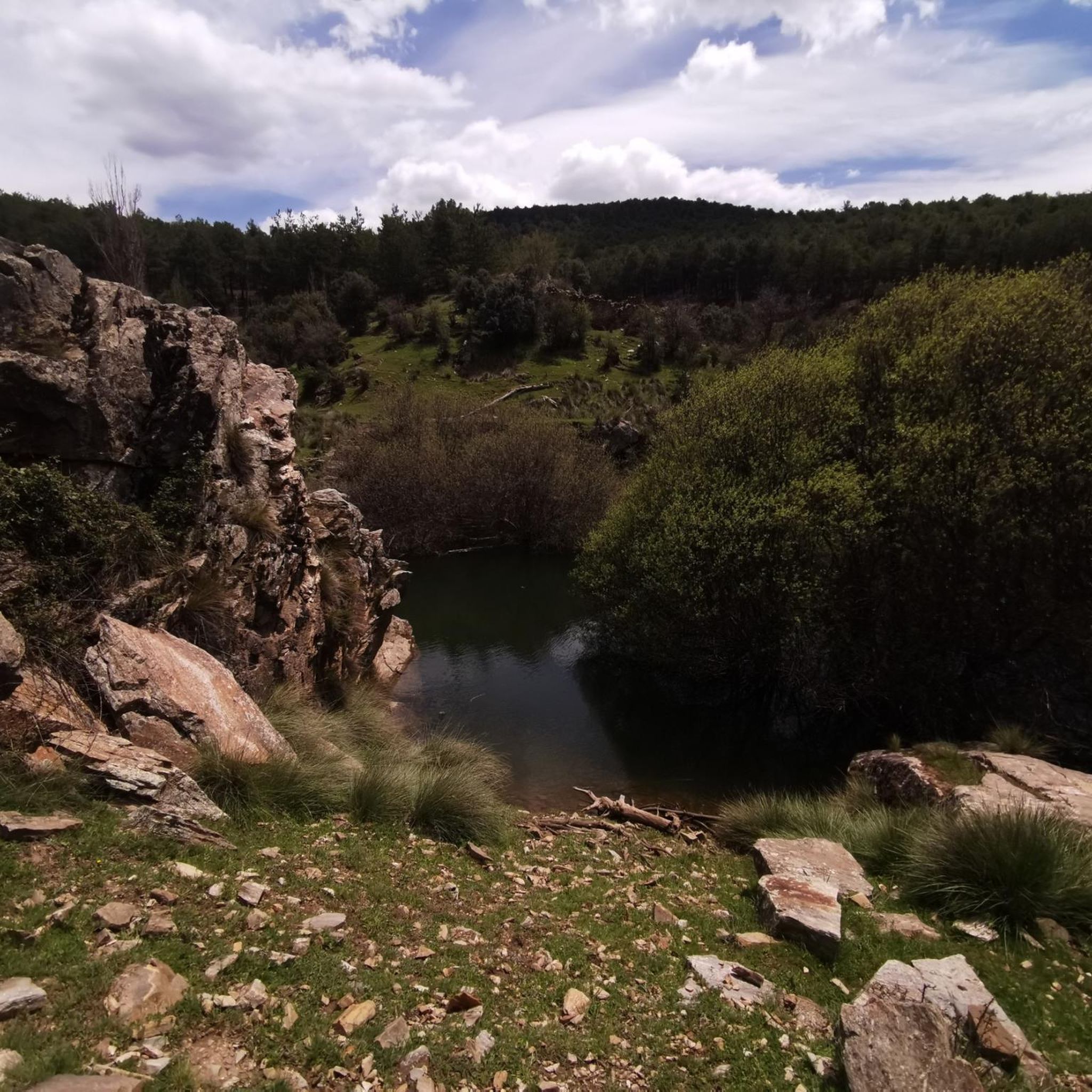
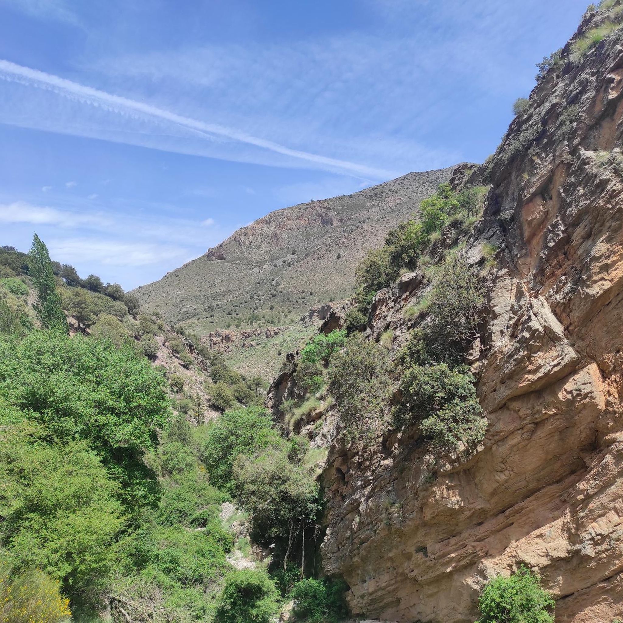
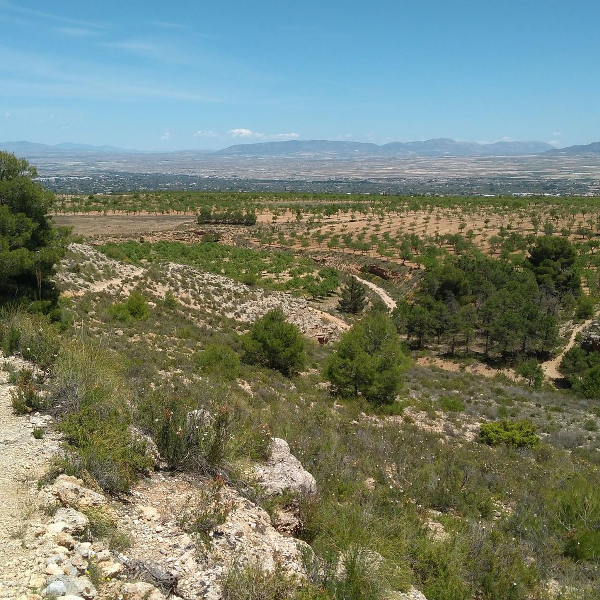
Hiking in Sierra De Baza offers a diverse range of trails within a protected natural park. The region is characterized by mountainous terrain, dense pine forests, and deep ravines. Hikers can explore varied landscapes, from high-altitude viewpoints to tranquil valleys, making it a suitable destination for different experience levels.
Best hiking trails in Sierra De Baza
- The most popular hiking route is Narváez Viewpoint Trail, a 3.8 miles (6.2 km) trail that takes 1 hour 49 minutes to complete.…
Last updated: July 7, 2026
4.3
(7)
21
hikers
6.17km
01:49
180m
190m
Enjoy an easy 3.8-mile (6.2 km) hike in Sierra de Baza Natural Park, offering panoramic views from Mirador de Narváez.
4.3
(3)
16
hikers
18.2km
06:22
1,040m
1,040m
Hike the Barranco de la Fonfría and Pino de la Señora Trail, a difficult 11.3-mile route through Sierra de Baza's unique forests.

Sign up for free
4.5
(4)
15
hikers
10.7km
03:09
320m
310m
Moderate hike. Good fitness required. Easily-accessible paths. Suitable for all skill levels.
5.0
(2)
6
hikers
Easy hike. Great for any fitness level. Easily-accessible paths. Suitable for all skill levels.
3.0
(1)
6
hikers
17.4km
07:11
870m
870m
Hard hike. Very good fitness required. Mostly accessible paths. Sure-footedness required.
Get access to more routes and recommendations from other explorers.
Sign up for free
Already have an account?
Our route recommendations are based on thousands of hikes, rides, and runs completed by other people on komoot.
Start today with a free account
Your next adventure awaits.
Login or Signup
Popular around Sierra De Baza

Andalusia without limits – Tarifa to La Puebla de Don Fabrique on the GR 7

Bikepacking the mountains and deserts of Andalucía

Explore the Betic Mountains on two wheels – Altravesur
MTB Trails in Sierra De Baza

Gravel biking in Sierra De Baza
Cycling in Sierra De Baza
Road Cycling Routes in Sierra De Baza
Running Trails in Sierra De Baza
Other adventures in Sierra De Baza


Tips from the Community

Be very careful with the ice sheets. At this time of year there is a lot of ice and it is very difficult to walk.
0
0

The Canaleja Alta Shelter is located in the recreational area of the same name, located at the head of the Canaleja ravine. This refuge is on the road that leads to the Prados del Rey and the Calares. The area is cool, with dense vegetation and numerous water currents. The recreational area has tables and barbecues under the trees, and the shelter itself is a two-story rectangular building. If you want to explore the surroundings, you will find the Neveros, Collado del Resinero and GR-7 trails near the refuge. Enjoy nature in Canaleja Alta! 🌲🏞️
1
0
La Fuente de la Salud is a charming place located in Baza. Legend has it that this was the place where Alfonso XI set up his camp. Its origin was due to the need to channel the spring that supplies the population. The Health Fountain was built by Francisco del Castillo in the 16th century, although local stonemason Alonso González Bailén also took part. It is located about 2 km northeast of Baza along the Virgen de la Salud path. If you are a lover of nature and history, the Fountain of Health and its surroundings are a perfect place to explore. Enjoy the beauty of Baza and its landscapes! 🌿🏞️
2
0
The Narváez Visitor Center is located in the heart of the Sierra de Baza Natural Park, in Andalusia. This building, with an elegant classical style, dates from the beginning of the last century. By touring the center, visitors can learn about the particularities of this mountain range, which is a haven of biodiversity in its surroundings. The vegetation varies depending on factors such as the difference in altitude, climate and relief. Furthermore, inside the reception space, you will find a shop with attractive local products and those from the Network of Natural Spaces of Andalusia (RENPA). Surrounding the building, there is a beautiful garden where you can relax and get to know some of the park's own species. Next to this center, there are several trails and the nature classroom of the same name. Opening hours are Fridays, Saturdays, Sundays and holidays, from 10:00 a.m. to 4:30 p.m.
1
1
The Mirador de Narváez is an impressive place in the Sierra de Baza Natural Park. From the top, we can see the Hoya de Baza behind and the Morrón Alto forest surveillance booth. The Calar de Santa Bárbara, at 2271 meters, is the highest peak in the Sierra de Baza Natural Park.
3
0

The Pino de la Señora is probably one of the oldest trees in the Sierra de Baza Natural Park. The trail around it is gorgeous and fun, but it can be challenging on a mountain bike.
0
0
This is a good place to start an adventure or stop during one. You can find maps of the area, parking is close and there is a place to get some food.
1
0
This is a lovely place to stop for a drink. It's nicely shaded and almost always has flowing water. You may need to walk your bike in the area, especially if there are a lot of people.
0
0
Frequently Asked Questions
How many hiking trails are available in Sierra De Baza?
Sierra De Baza features over 40 hiking routes. This includes 20 easy trails, 17 moderate trails, and 4 more challenging difficult routes, ensuring options for all experience levels.
Are there family-friendly hiking options in Sierra De Baza?
Yes, Sierra De Baza has several easy trails suitable for families. An excellent option is the Narváez Viewpoint Trail, which is 3.8 miles (6.2 km) long and offers panoramic views without being overly strenuous.
Can I hike with my dog in Sierra De Baza?
Generally, dogs are welcome on trails within Sierra De Baza Natural Park, but it's always best to keep them on a leash to protect local wildlife and ensure their safety. Please check specific trail regulations if posted, especially in sensitive areas.
What are the best times of year to go hiking in Sierra De Baza?
The best times for hiking in Sierra De Baza are typically spring (April to June) and autumn (September to November). During these seasons, the weather is mild and pleasant, and the natural landscapes are particularly vibrant. Summer can be very hot, while winter may bring snow to higher elevations.
Are there any circular walking routes in Sierra De Baza?
Yes, there are several circular routes. A popular choice is the Fuente de la Taza – Narváez Viewpoint loop from El Granero, a moderate 6.6 miles (10.7 km) trail that takes you through varied terrain, including a natural spring and a viewpoint.
What kind of wildlife can I expect to see while hiking?
Sierra De Baza is rich in biodiversity. Hikers might spot various bird species, including eagles and vultures, as well as mammals like wild boar, deer, and ibex. Keep an eye out for smaller creatures and diverse plant life, especially in the more secluded areas of the park.
Are there any notable viewpoints or natural monuments to visit?
Absolutely. The Narváez Viewpoint offers stunning panoramic vistas. Other significant natural features include the ancient La Señora Pine and the Fountain of Health. For those seeking higher ground, the Santa Barbara summit is a prominent landmark.
What do other hikers enjoy most about hiking in Sierra De Baza?
The area is highly rated by the komoot community, with an average score of 4.6 stars from over 40 reviews. Reviewers often praise the diverse landscapes, from dense pine forests to rugged ravines, and the sense of tranquility found within the natural park.
Are there any challenging routes for experienced hikers?
Yes, for experienced hikers looking for a challenge, the Barranco de la Fonfría and Pino de la Señora Trail is a difficult 11.3 miles (18.2 km) path that navigates through a ravine and extensive pine forests, showcasing the park's rugged beauty.
Where can I find parking or trailheads for the hikes?
Many trails in Sierra De Baza have designated parking areas near their starting points, often close to visitor centers or picnic areas within the natural park. Specific trailhead information and parking details are usually available on individual route pages on komoot, such as for the Calar de Santa Bárbara Summit loop from Collado de la Mina.
Are there places to stay or facilities within the park?
Yes, there are several facilities available. You can find huts and shelters like the La Canaleja Alta Refuge and the Puerto de las Palomas Cyclists' Shelter. There's also the La Fraguara Campsite for those looking to stay overnight.
Can I reach Sierra De Baza by public transport?
While public transport options directly into the heart of Sierra De Baza Natural Park are limited, you can typically reach nearby towns like Baza by bus. From there, you would likely need to arrange a taxi or have private transport to access specific trailheads within the park.
Most popular routes in Sierra De Baza
Most popular attractions in Sierra De Baza

Get inspired with the komoot mobile app


Explore more
Browse the best Hikes in other regions.
