The best road cycling routes around Pöhl
4.6
(329)
3,363
riders
354
rides
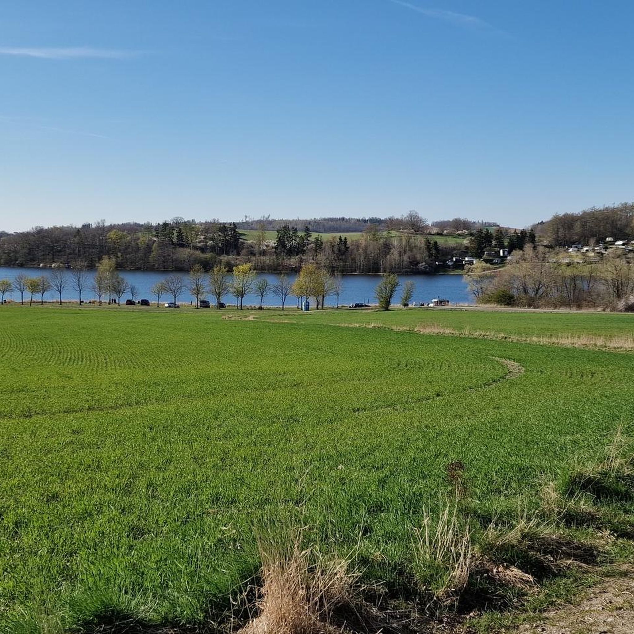
Road cycling around Pöhl offers diverse landscapes within Germany's Vogtland region. The area is characterized by low mountain scenery, providing varied terrain for cyclists. A central feature is the Talsperre Pöhl, Saxony's third-largest reservoir, which forms a prominent landmark. The region also includes the Triebtal Valley nature reserve and impressive architectural structures like the Elstertal Bridge and the Göltzschtal Bridge.
Best road cycling routes around Pöhl
- The most popular road cycling route is View of Pöhl Dam – Pöhl Dam loop from Ruppertsgrün, a 23.0 miles (37.0 km) trail that takes 1 hour 50 minutes to complete. This route offers views of the Talsperre Pöhl.
- Another top favourite among local road cyclists is Göltzschtal Bridge – Göltzschtal Bridge loop from Ruppertsgrün, a moderate 20.2 miles (32.6 km) path. This route passes by the Göltzschtal Bridge, known as the world's highest brick bridge.
- Local road cyclists also love the Mylau Church – View of Pöhl Dam loop from Jocketa, a 38.7 miles (62.3 km) trail leading through varied terrain with views of Mylau Church and the Pöhl Dam, often completed in about 3 hours.
- Road cycling around Pöhl is defined by low mountain scenery, the Talsperre Pöhl reservoir, and notable bridges like the Göltzschtal Bridge. The network offers options for different ability levels, from moderate to more demanding routes.
- The routes in Pöhl are highly rated by the komoot community with an average score of 4.6 stars from over 280 reviews. More than 3200 road cyclists have used komoot to explore Pöhl's varied terrain.
Last updated: July 8, 2026
5.0
(1)
12
riders
37.1km
01:49
420m
420m
Moderate road ride. Good fitness required. Mostly well-paved surfaces and easy to ride.
12
riders
32.8km
01:35
420m
420m
Moderate road ride. Good fitness required. Mostly well-paved surfaces and easy to ride.

Sign up for free
8
riders
34.9km
01:40
410m
410m
Moderate road ride. Good fitness required. Mostly well-paved surfaces and easy to ride.
3.5
(2)
8
riders
60.3km
02:51
710m
710m
Moderate road ride. Good fitness required. Some segments of this route may be unpaved and difficult to ride.
5
riders
26.8km
01:25
410m
400m
Moderate road ride. Good fitness required. Mostly well-paved surfaces and easy to ride.
Get access to more routes and recommendations from other explorers.
Sign up for free
Already have an account?
Our route recommendations are based on thousands of hikes, rides, and runs completed by other people on komoot.
Start today with a free account
Your next adventure awaits.
Login or Signup
Popular around Pöhl
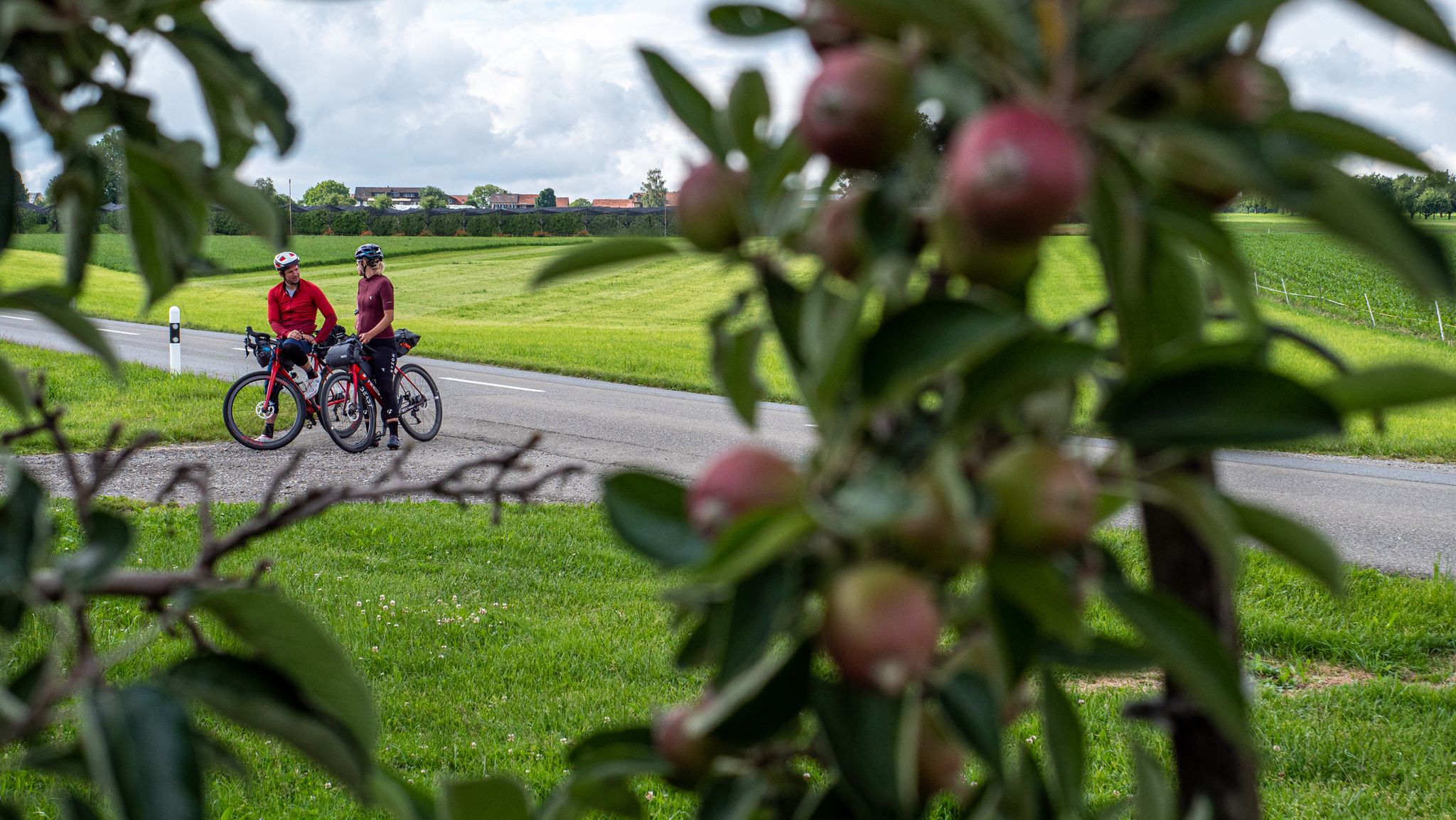
SEND IT! Germany by bike with two mountain bike pros
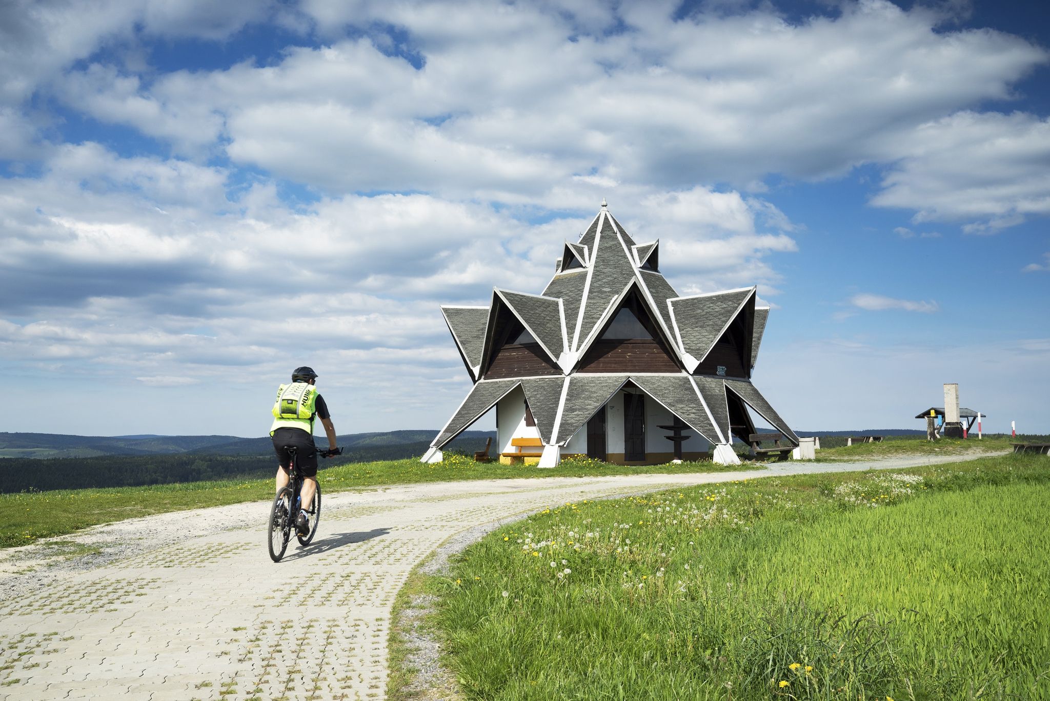
Explore Germany’s Vogtland — loop Tours for keen cyclists
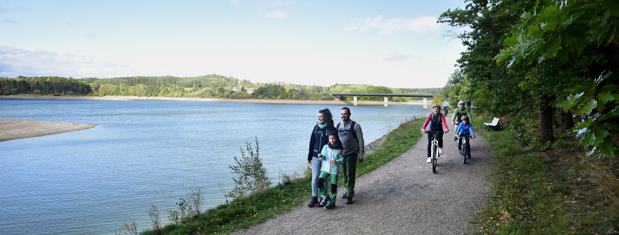
Family fun on foot and bike — explore Germany’s Vogtland
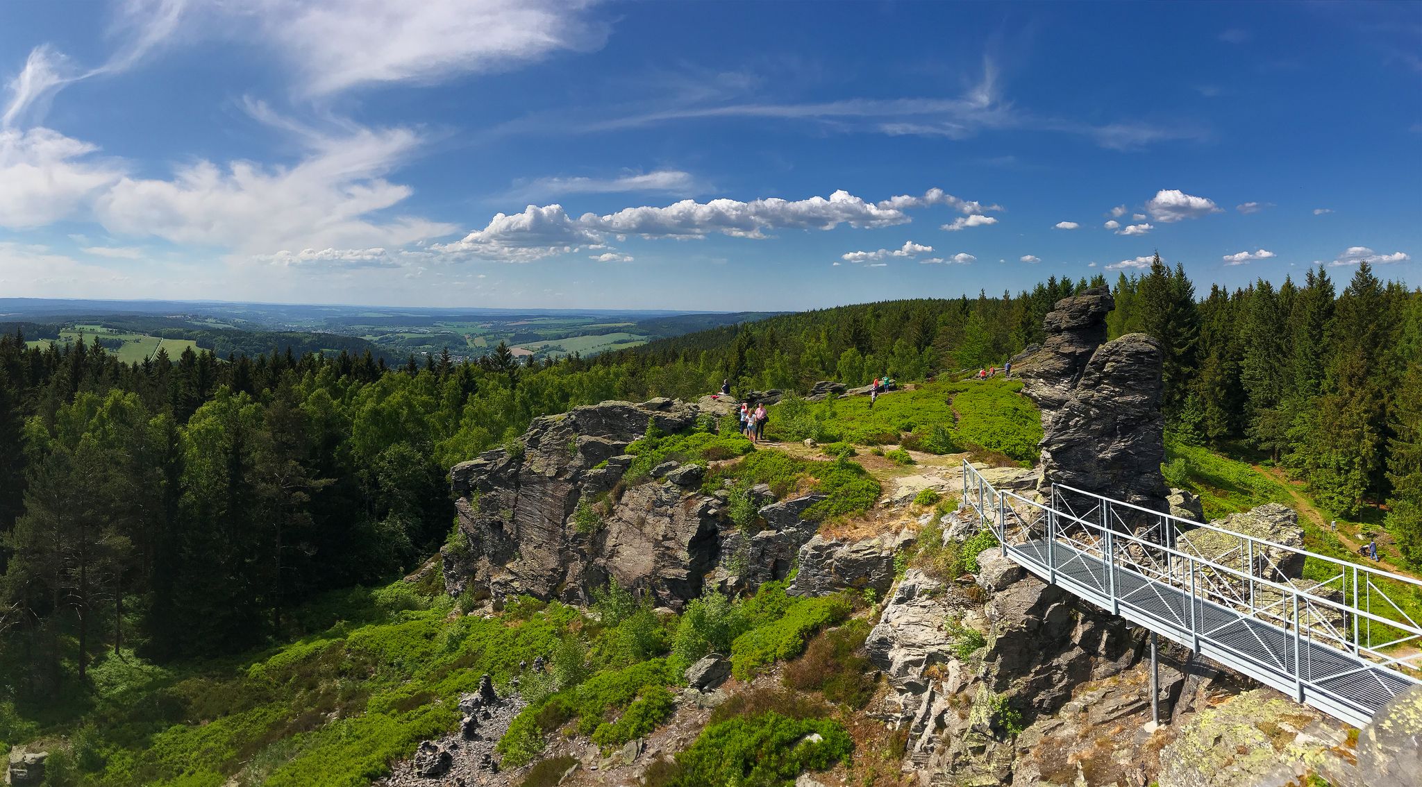
Experience the sounds of nature — hikes in the Vogtland Region

33 lakes for sunny weekends
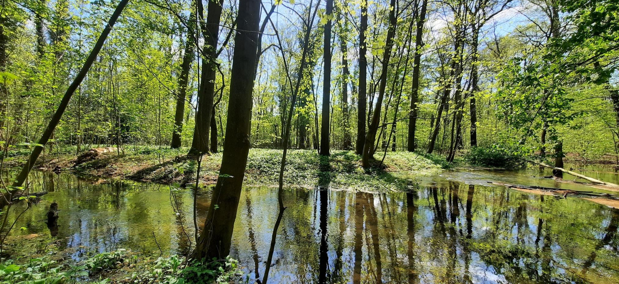
Mindful Hiking 2.0 – Runterfahren & zur Ruhe kommen
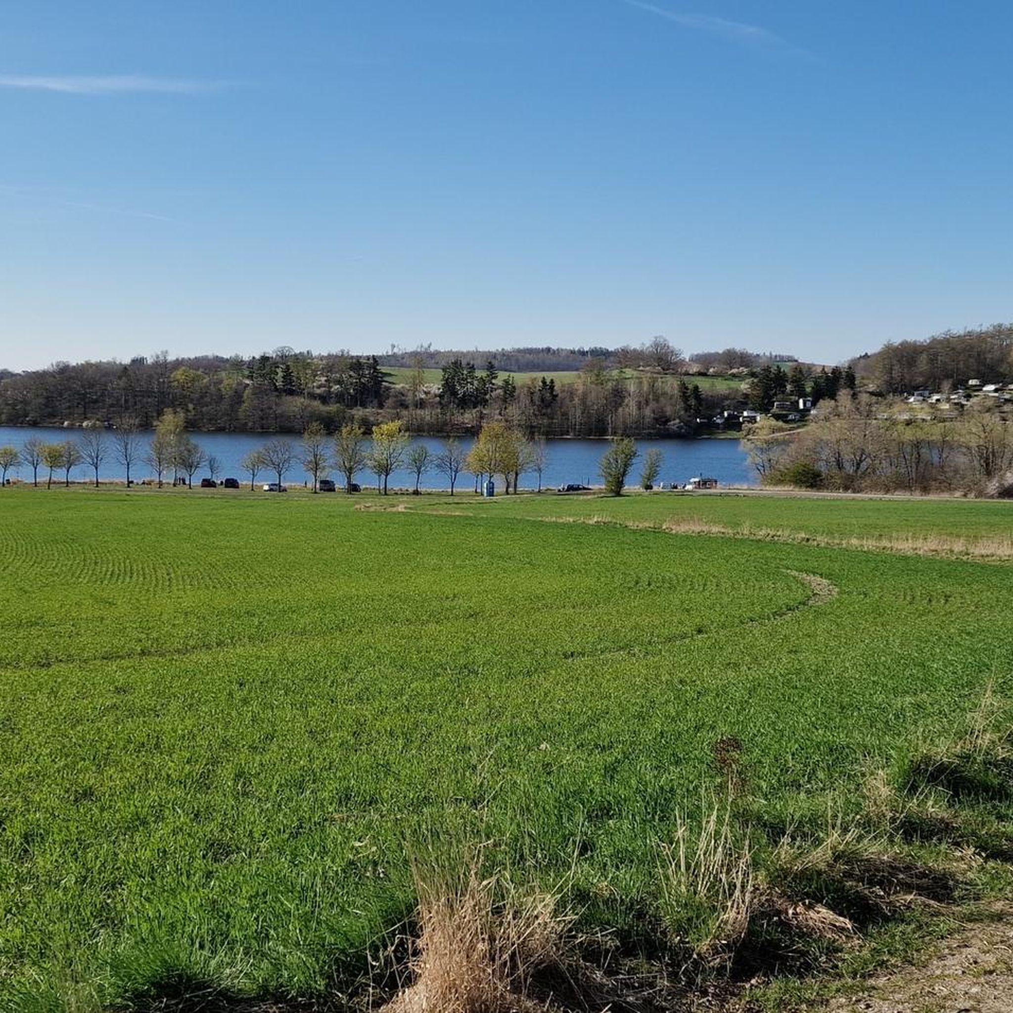
Hiking around Pöhl
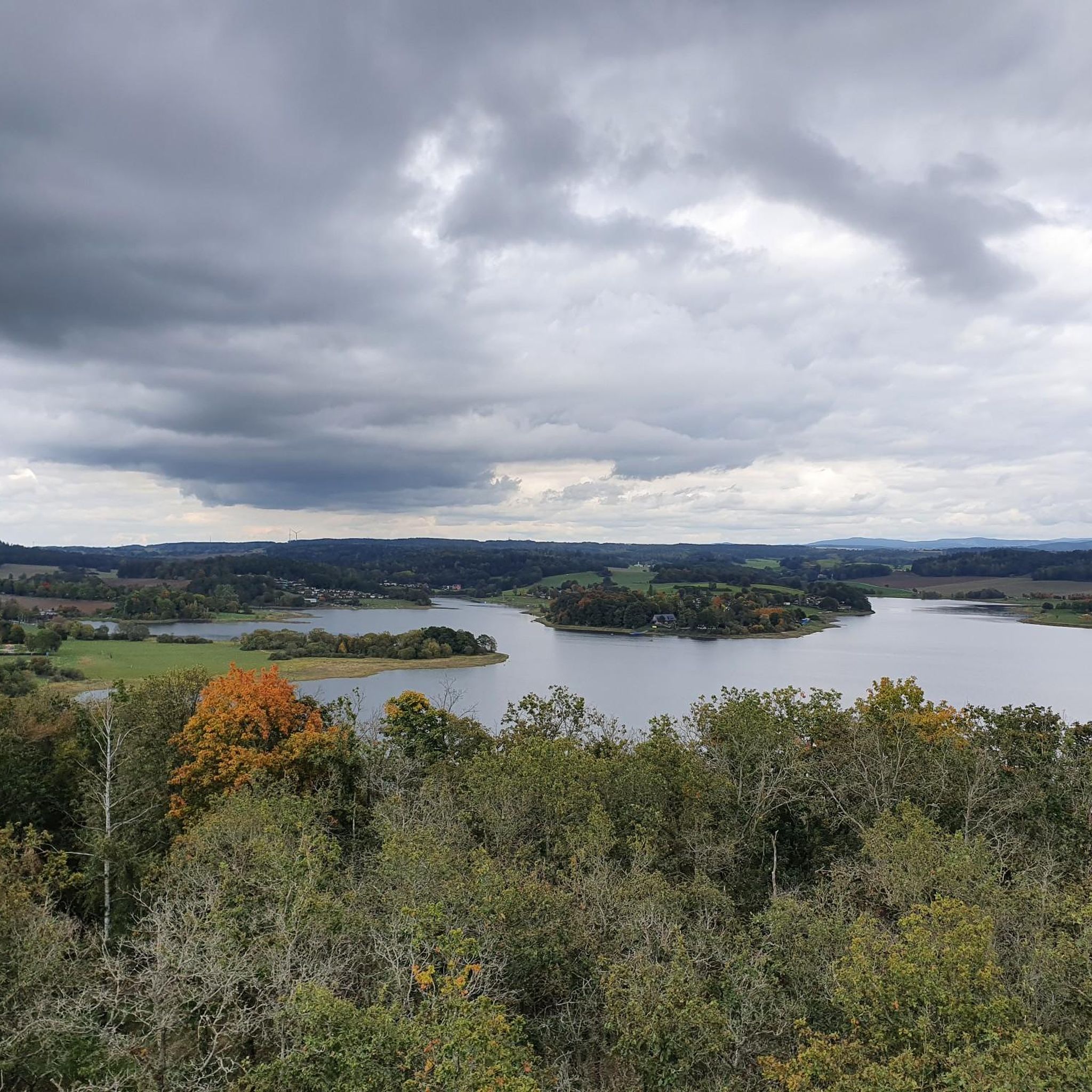
Cycling around Pöhl
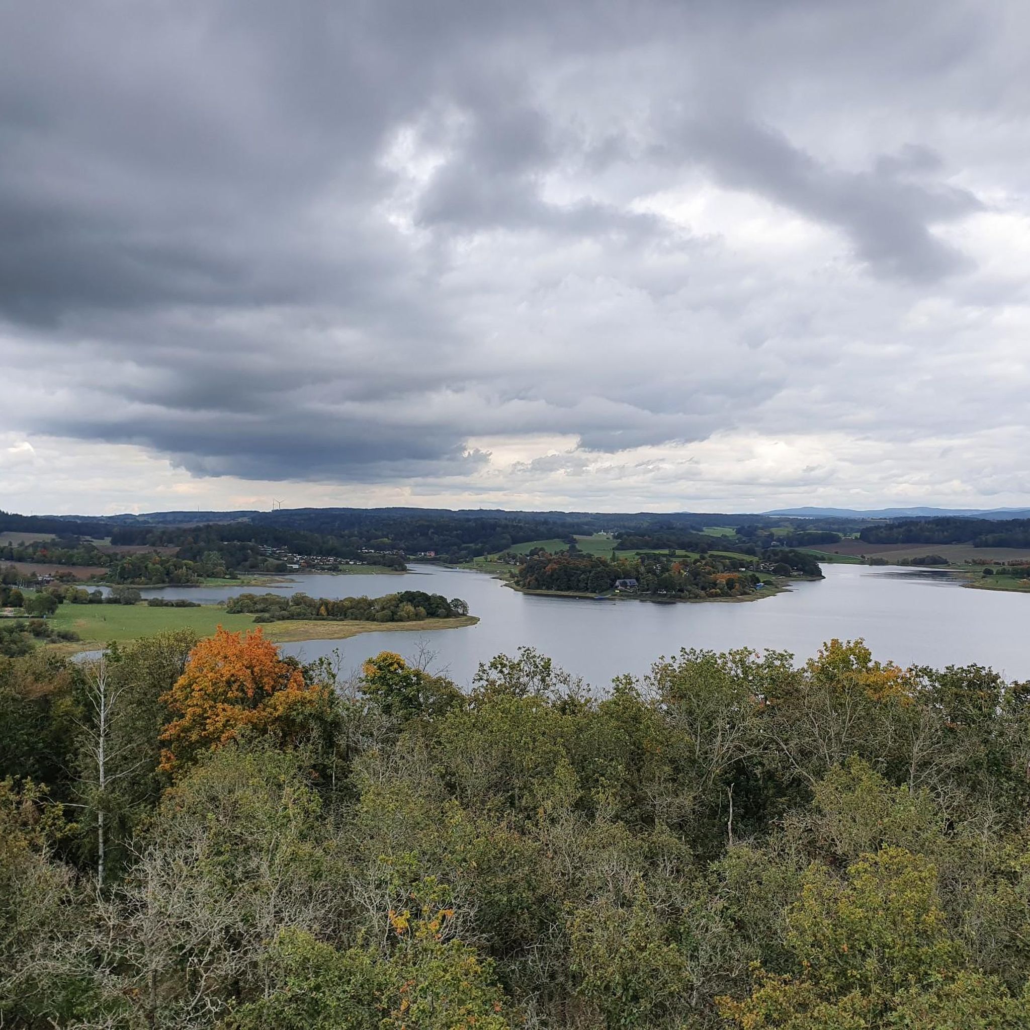
Running Trails around Pöhl
MTB Trails around Pöhl
Other adventures around Pöhl


Tips from the Community

The imposing dam of the Pöhl dam is a real highlight and impresses both from above and below 💪. When crossing it, a wide, almost endless view opens up over the lake, while on the other side the valley drops deep down – a great contrast!
7
0

Here the two largest rivers of the Vogtland region merge.
0
0

Dam circuit: if you're there, definitely do it. The scenery, the profile, the road surface—everything is top-notch.
0
0

This road takes you along a well-paved road over the ridge and through the forest. If you're carrying the momentum downhill, you'll need to be careful at the junction, as it changes to firm, light gravel for about 300m. After that, there's a barrier. At the next village entrance, there's a constant layer of gravel. In the village of Lange, you can easily bypass the construction site on the left.
0
0

A masterpiece of architecture with red bricks and a height of 70m.
3
1


The castle pond in the park (below the castle) has a device for a water fountain, which was in operation during my hike and was very beautiful to look at.
0
0

My TIP: The region is well described in the following book: GERA & Thuringian Vogtland A HIKING & TRAVEL GUIDE for active vacationers, hikers, car and cultural tourists, with hikes near Gera, in the Thuringian Vogtland and on the White Elster Trail, Thuringian Luther Trail, Zeulenroda Dam Trail, Weida Valley Trail, Hohenwarte Reservoir Trail, and in the Plothen Pond area. Country and People: Interesting facts about nature, history, culture, language, and cuisine Travel section: Descriptions of cities, villages, and regions with their sights Hiking section: 39 hiking tour descriptions with overview maps Travel & Hiking Guide: Gera & Thuringian Vogtland with Greiz, Saalfeld, Plauen... Publisher: REISEBUCH-KARHU ISBN: 978-3-98165-772-2 Information about the book & ordering: https://www.reise-karhu.de/reisebuecher/gera-thueringer-vogtland.html
0
0
Frequently Asked Questions
What kind of terrain can I expect when road cycling in Pöhl?
Pöhl is situated within the Vogtland's low mountain scenery, offering a diverse and varied terrain for road cyclists. You'll encounter both challenging climbs and long stretches with impressive landscapes, particularly around the Talsperre Pöhl and through valleys like the Triebtal.
How many road cycling routes are available in Pöhl, and what are their difficulty levels?
There are over 370 road cycling routes around Pöhl. These routes cater to various fitness levels, with approximately 30 easy routes, over 240 moderate routes, and around 90 difficult routes for more experienced cyclists.
Are there any family-friendly or easy road cycling routes in Pöhl?
Yes, Pöhl offers about 30 easy road cycling routes suitable for beginners or families. These routes generally feature less demanding terrain, allowing for a more relaxed cycling experience while still enjoying the scenic Vogtland landscape.
What are some of the most notable landmarks or natural features to see along road cycling routes in Pöhl?
Road cycling routes in Pöhl often feature impressive sights. You can cycle past the Bismarck Tower on the Kemmler, enjoy views from the Köhlerspitze Viewpoint (345 m), or discover the unique Teufelskanzel rock formation. The Talsperre Pöhl itself is a central feature, and the Göltzschtal Bridge, the world's highest brick bridge, is another architectural marvel often included in routes.
Are there any circular road cycling routes around the Talsperre Pöhl?
Yes, the Talsperre Pöhl is a popular focal point for circular routes. A well-known option is the View of Pöhl Dam – Pöhl Dam loop from Ruppertsgrün, which is about 37 kilometers long and offers continuous views of the reservoir. Information boards along the route also tell the story of the submerged village of Pöhl.
What do other road cyclists say about their experience in Pöhl?
The road cycling routes in Pöhl are highly rated by the komoot community, with an average score of 4.6 stars from over 280 reviews. Cyclists often praise the varied terrain, the stunning views of the Talsperre Pöhl, and the impressive architectural landmarks like the Göltzschtal Bridge.
Are there any long-distance road cycling paths that connect to Pöhl?
Yes, Pöhl is integrated into significant long-distance cycling paths. The Elsterradweg, a 250-kilometer route along the White Elster river, passes near the Talsperre Pöhl. Additionally, the Euregio Egrensis Radweg, a 529-kilometer route traversing Bavaria, Bohemia, Saxony, and Thuringia, also has a section running along the Pöhl Dam.
What is the best time of year for road cycling in Pöhl?
The low mountain scenery of Pöhl is enjoyable throughout the warmer months. Spring and autumn offer pleasant temperatures and beautiful foliage, while summer provides longer daylight hours. Always check the local weather forecast before heading out, as conditions can vary.
Where can I find amenities like cafes or accommodation near the road cycling routes?
The Pöhl region is well-equipped for cyclists. You'll find various amenities such as service points for bike maintenance, inner tube vending machines, and bicycle hire facilities. There are also cafes and accommodation options available in towns and villages situated along or near the popular cycling routes.
Are there any challenging road cycling routes for advanced riders in Pöhl?
Absolutely. Pöhl's low mountain scenery provides ample opportunities for demanding tours. Routes like the Mylau Church – View of Pöhl Dam loop from Jocketa, at over 62 kilometers with significant elevation gain, offer a substantial challenge. The region also features routes with dedicated climbing sections and long distances, perfect for experienced cyclists.
Can I combine road cycling with other outdoor activities in Pöhl?
Yes, Pöhl is a hub for various outdoor activities. Besides road cycling, you can enjoy hiking, water sports like surfing, sailing, and swimming on the Talsperre Pöhl. There's also a high ropes course and mini-golf facilities, making it easy to combine cycling with other adventures.
What are some other scenic routes besides the Pöhl Dam loop?
Beyond the Pöhl Dam, you can explore routes that highlight other regional attractions. For instance, the Göltzschtal Bridge – Göltzschtal Bridge loop from Ruppertsgrün takes you past the world's highest brick bridge. Another option is the View of Talsperre Pöhl – Lauschgrüner Hof loop from Jocketa, offering diverse views and terrain.
Most popular attractions around Pöhl

Get inspired with the komoot mobile app


Explore more
Browse the best Road cycling routes in other regions.
