The best running trails in Haute-Sure Et De La Foret D'Anlier Natural Park
4.5
(443)
13,103
runners
1,011
runs
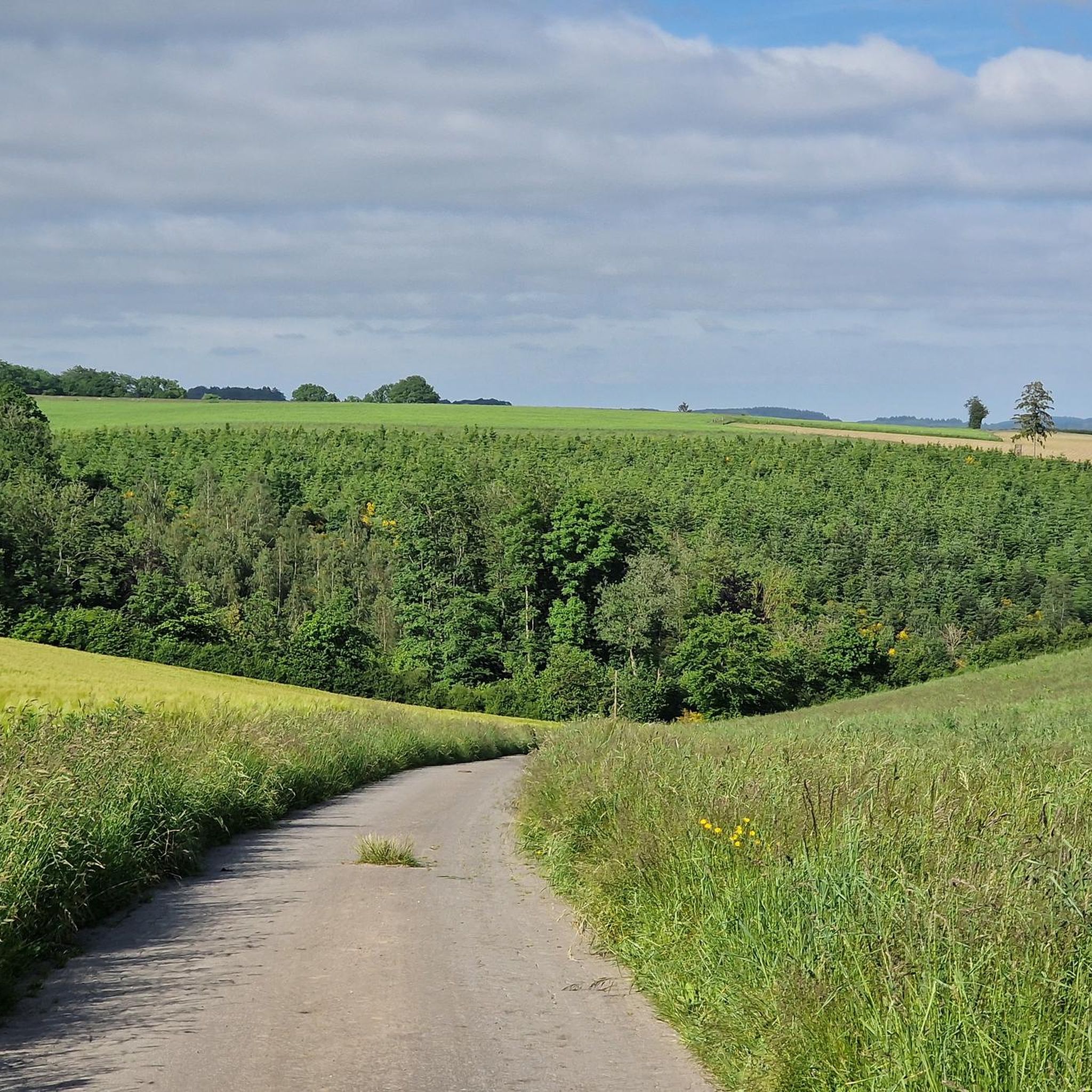
Jogging routes in Haute-Sûre Forêt d'Anlier Natural Park traverse a varied landscape characterized by extensive woodlands, river valleys, and undulating plateaus. The region features the vast Anlier Forest, Belgium's largest beech forest, offering shaded trails. The Haute Sûre Basin provides routes with varied elevations along picturesque river valleys, while the High Ardennes Plateau presents open meadows and agricultural lands. Wetlands and marshes contribute to the park's diverse ecological features, providing unique running environments.
Best jogging routes in Haute-Sure Et De…
Last updated: July 7, 2026
4.5
(11)
272
runners
7.83km
00:54
110m
110m
Jog the moderate 4.9-mile Fagne Jean Simon Promenade through Anlier Forest, passing former fish farming ponds and gaining 347 feet.
5.0
(1)
11
runners
12.7km
01:27
200m
200m
Jog the moderate 7.9-mile La Strange Lake Loop in Haute-Sûre Forêt d'Anlier Natural Park, featuring lakeside views and a viewpoint.

Sign up for free
3.0
(1)
5
runners
Moderate run. Good fitness required. Mostly paved surfaces. Suitable for all skill levels.
5.0
(1)
5
runners
11.2km
01:17
140m
130m
Jog the moderate 6.9-mile Promenade des Vanneaux loop from Morhet, exploring forests and historical sites in Haute-Sûre Forêt d'Anlier natur
5.0
(11)
615
runners
23.2km
02:33
320m
320m
Hard run. Very good fitness required. Sure-footedness, sturdy shoes and alpine experience required.
Get access to more routes and recommendations from other explorers.
Sign up for free
Already have an account?
Our route recommendations are based on thousands of hikes, rides, and runs completed by other people on komoot.
Start today with a free account
Your next adventure awaits.
Login or Signup
Popular around Haute-Sure Et De La Foret D'Anlier Natural Park

Naples to North Cape — Two friends, one purpose and many scoops of ice-cream
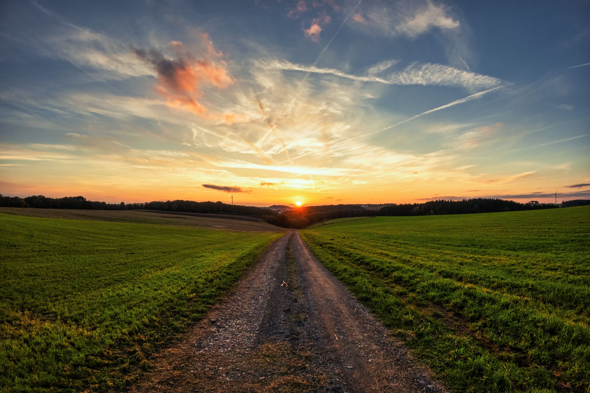
Hardennes Gravel Tour by Resist & Ride - 700 kilometers of unpaved adventure
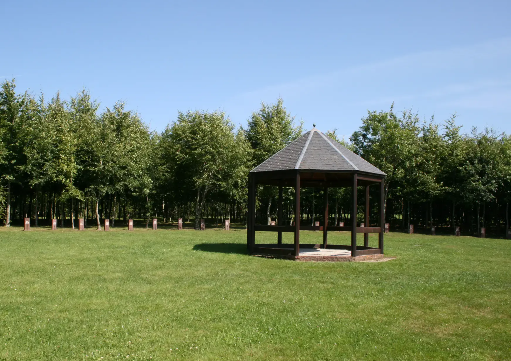
The Chemin de la Liberté — On the traces of the battle of the Ardennes
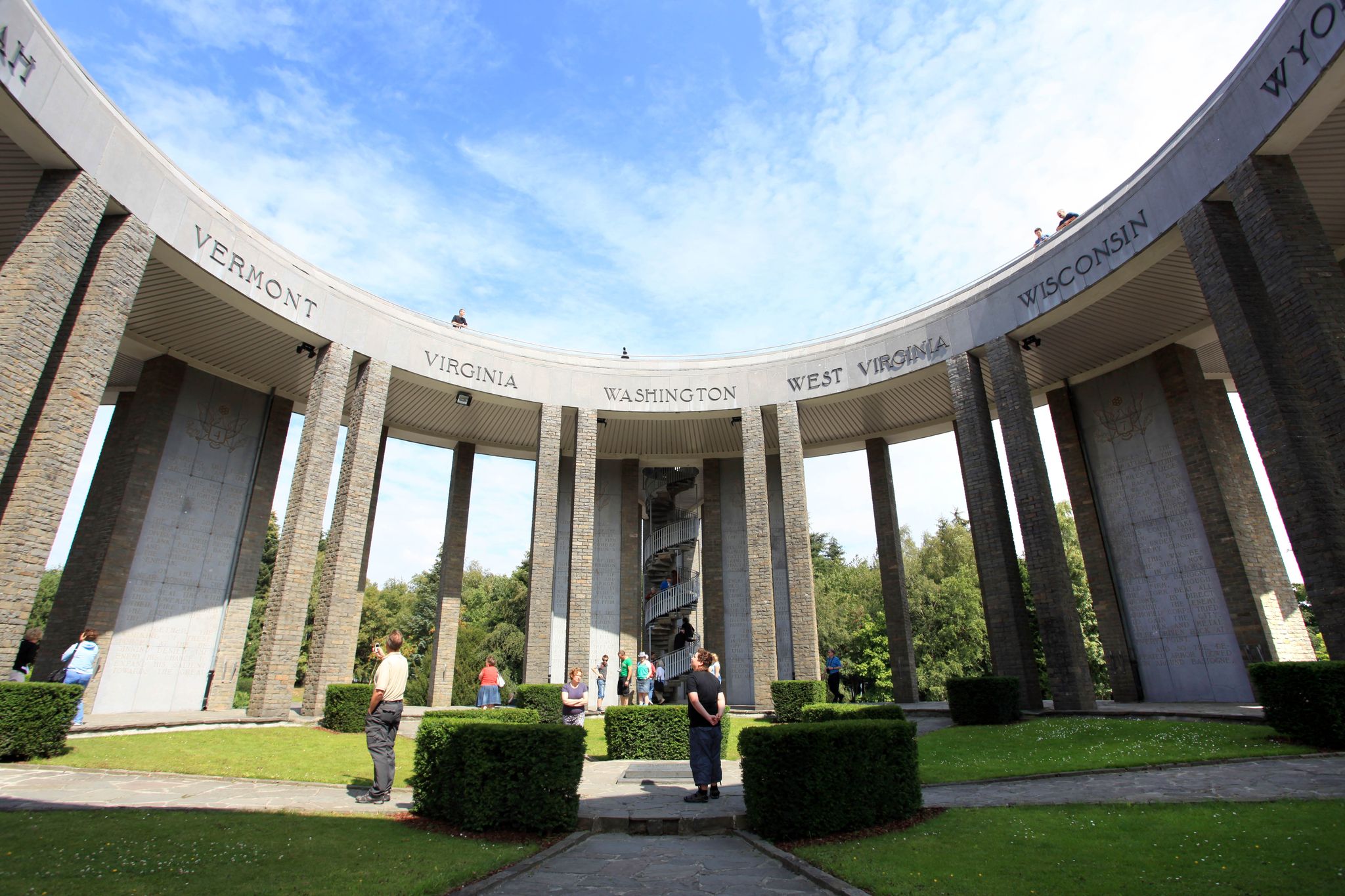
Walks around Belgium’s Bastogne – discover the history of the Ardennes
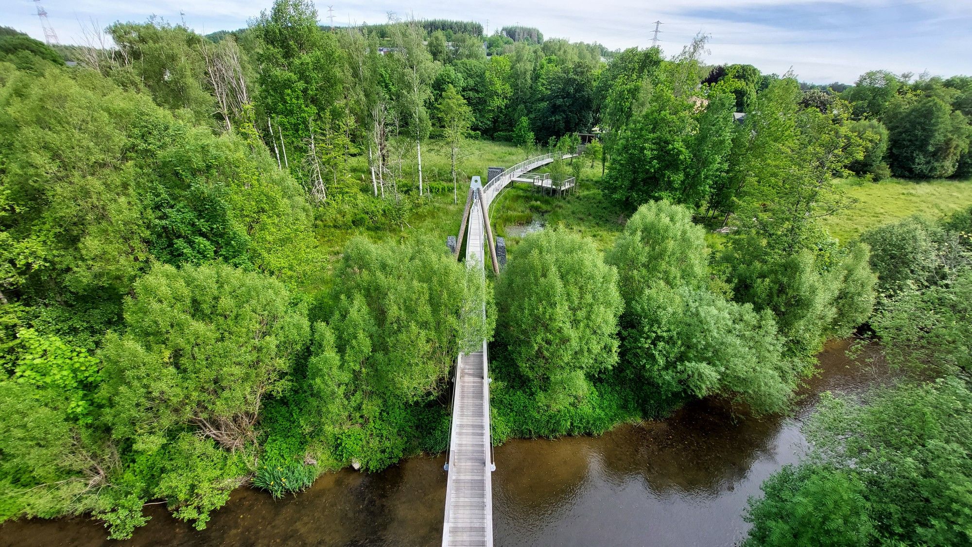
A Tour of Belgian Luxembourg — the greenest province of the kingdom
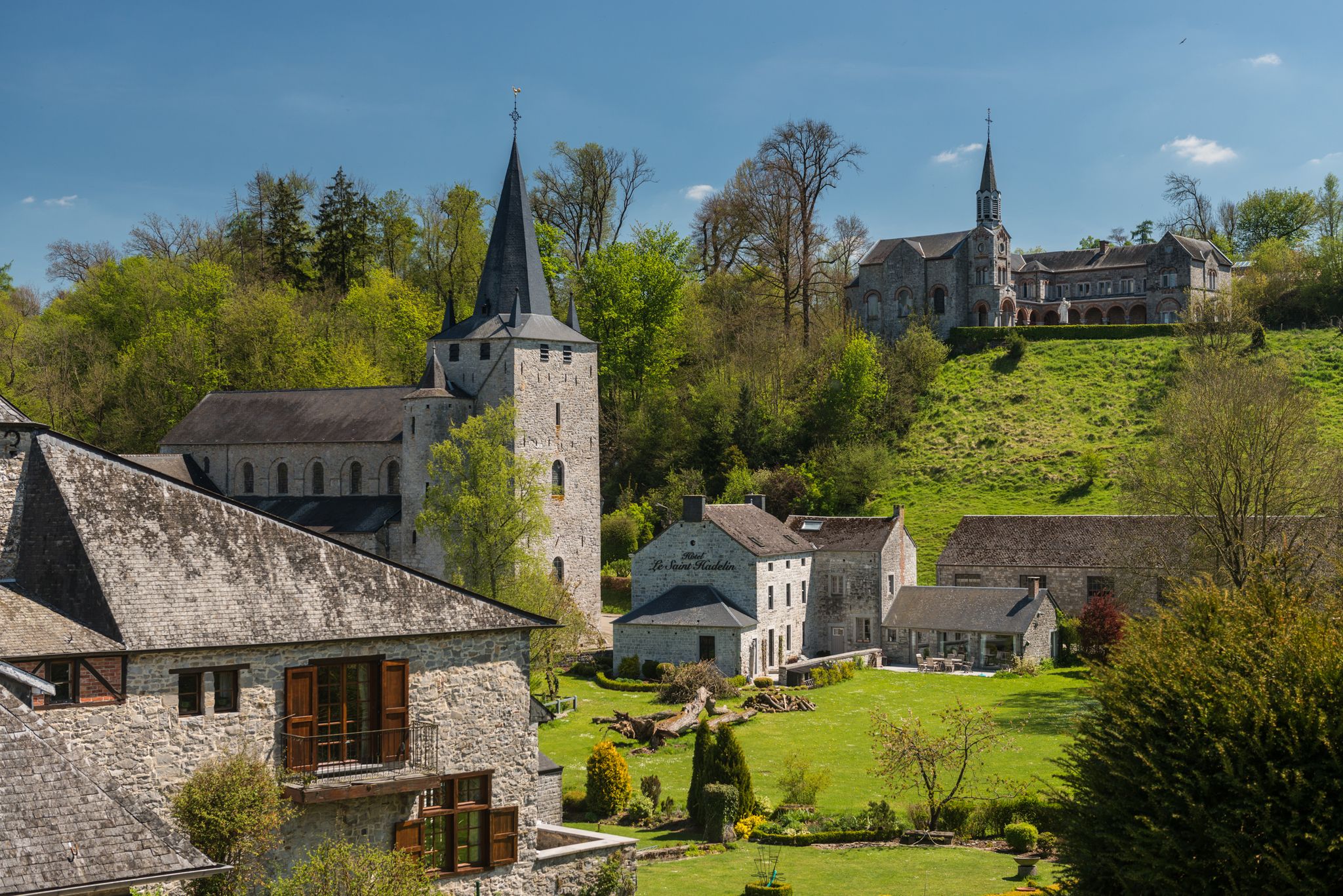
Walks in the Belgian Ardennes — historic walls & magical forests
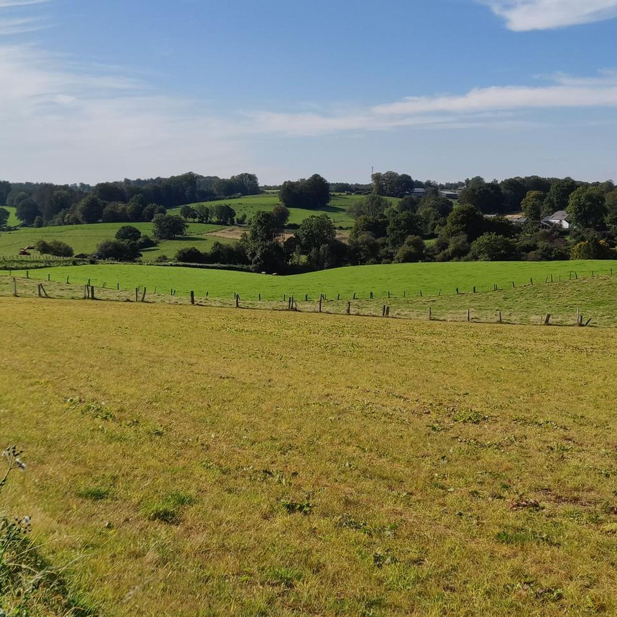
Hiking in Haute-Sure Et De La Foret D'Anlier Natural Park
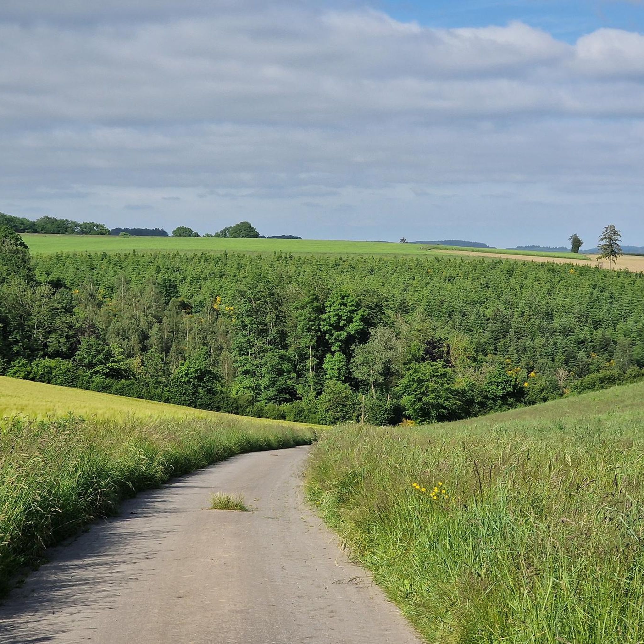
Cycling in Haute-Sure Et De La Foret D'Anlier Natural Park
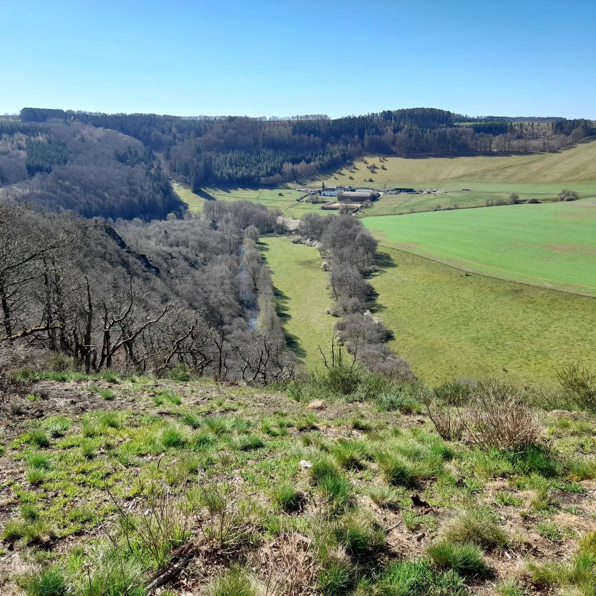
Road Cycling Routes in Haute-Sure Et De La Foret D'Anlier Natural Park
MTB Trails in Haute-Sure Et De La Foret D'Anlier Natural Park
Other adventures in Haute-Sure Et De La Foret D'Anlier Natural Park


Tips from the Community


The "Bird's Footbridge" in Martelange, Belgium, is a 150-meter-long pedestrian bridge that crosses the Sûre River and transports hikers into a fascinating natural world. Opened in 2011, the bridge is part of a project connecting the municipal building (Moulin Kuborn) and the former tannery park (Parc de la Tannerie). Long the path are informative panels that educate visitors about the various bird species. QR codes can be scanned with a smartphone to hear the birdsong.
1
0

It's walkable, bike nearby ;-)
0
0

The idyllically situated lake is of course also a hiking highlight, with more photos there, if interested see =>>https://www.komoot.com/de-de/highlight/6364064
0
0


A small chapel, a cemetery among the trees with a magnificent view through the trees behind. Here you will do well to stop and reflect on the tranquility of the place.
2
0
Lac de la Strange is a 5-hectare reservoir dedicated to fly fishing. The lake is stocked with quality fish from the estate's fish farm, such as trout and carp. Lac de la Strange is a beautiful and peaceful place to visit, whether you are interested in fishing, nature or history.
2
0
Frequently Asked Questions
How many running routes are available in Haute-Sûre Forêt d'Anlier Natural Park?
The Haute-Sûre Forêt d'Anlier Natural Park offers a vast network of trails, with over 900 running routes available. This includes a wide variety of options, from easy paths to more challenging runs, catering to different fitness levels.
What is the range of difficulty for running trails in the park?
You'll find a diverse range of running trail difficulties. There are over 80 easy routes, more than 720 moderate trails, and over 110 difficult options. This ensures that both beginners and experienced runners can find suitable paths.
What do other runners enjoy most about the trails in Haute-Sûre Forêt d'Anlier Natural Park?
The running routes in the park are highly rated by the komoot community, with an average score of 4.5 stars from over 360 reviews. Runners frequently praise the immersive experience of the vast Anlier Forest, the scenic river valleys, and the well-maintained paths that offer a true escape into nature. Over 11,000 runners have used komoot to explore this varied terrain.
Are there any notable landmarks or scenic spots along the running routes?
Yes, the park is rich in natural beauty and interesting sights. Many routes will take you through the expansive Anlier Forest, Belgium's largest beech forest. You can also find trails along the picturesque Haute Sûre Basin, featuring river valleys, and near wetlands like the Louftémont-Vlessart marsh. In the Luxembourgish part of the park, the Upper Sûre Lake offers stunning waterside views. Specific highlights include Lake Neufchâteau and La Fabrique Pond.
Are there many circular running routes in the park?
Yes, the park features numerous circular running routes, perfect for those who prefer to start and end their run in the same location. An example is the Promenade du Belvédère — loop, a 4.4 km trail through forest paths.
Can I bring my dog on the running trails in Haute-Sûre Forêt d'Anlier Natural Park?
Many trails within the Haute-Sûre Forêt d'Anlier Natural Park are dog-friendly, allowing you to enjoy a run with your canine companion. However, it's always recommended to keep your dog on a leash, especially in areas with wildlife or near agricultural lands, and to check local regulations for specific routes.
Are there family-friendly running options in the park?
Absolutely. The park offers several easy and well-accessible paths suitable for families, including those with younger children or strollers. These routes often feature gentler terrain and shorter distances, allowing everyone to enjoy the natural surroundings. Look for routes described as 'easy' for the best family experience.
What kind of terrain can I expect on the running routes?
The terrain is quite varied, offering an engaging experience for runners. You can expect extensive forest paths, particularly within the vast Anlier Forest, as well as routes along river valleys with varied elevations. The High Ardennes Plateau presents more open meadows and agricultural lands, providing different running surfaces and expansive views.
Is there parking available near the running trails?
Yes, many popular trailheads and starting points throughout the Haute-Sûre Forêt d'Anlier Natural Park offer designated parking areas. The Maison du Parc Naturel in Martelange also serves as a good starting point with resources for planning your route and likely parking facilities.
Are there any longer, more challenging running routes for experienced runners?
For experienced runners seeking a challenge, the park offers several longer and more difficult routes. An example is the Path Along the Lakes of Habay – La Fabrique Pond loop, a demanding 23 km trail with significant elevation changes, perfect for a longer endurance run.
What is the best time of year for running in the Haute-Sûre Forêt d'Anlier Natural Park?
The park is beautiful year-round, but spring and autumn are particularly popular for running. In spring, the forests burst with new growth, and in autumn, the beech trees of the Anlier Forest display stunning colors. Summer offers shaded trails, while winter can provide a unique experience, though some paths might be more challenging due to snow or ice.
Where can I find more information about the Haute-Sûre Forêt d'Anlier Natural Park?
For additional information about the park's natural features, activities, and 'slow tourism' philosophy, you can visit the official tourism websites. Check out Visit Wallonia or Visit Ardenne for comprehensive details.
Most popular routes in Haute-Sure Et De La Foret D'Anlier Natural Park
Most popular attractions in Haute-Sure Et De La Foret D'Anlier Natural Park

Get inspired with the komoot mobile app


Explore more
Browse the best Running Trails & Routes in other regions.
