The best mountain hikes in Pirin
5.0
(7)
55
hikers
6
hikes
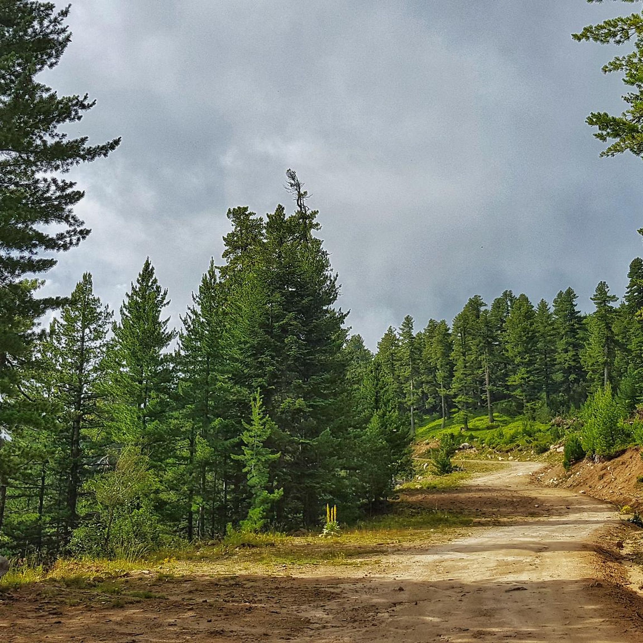
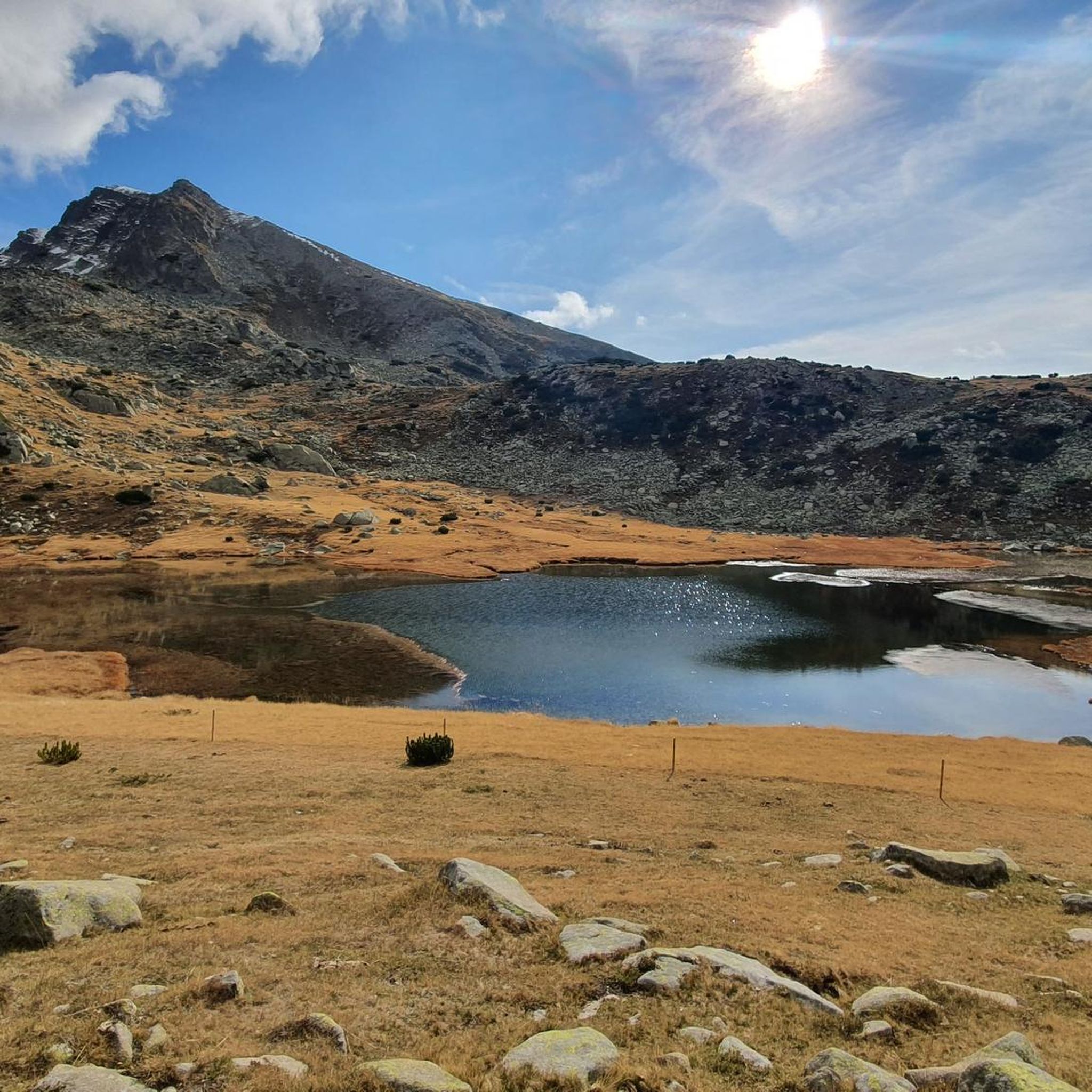
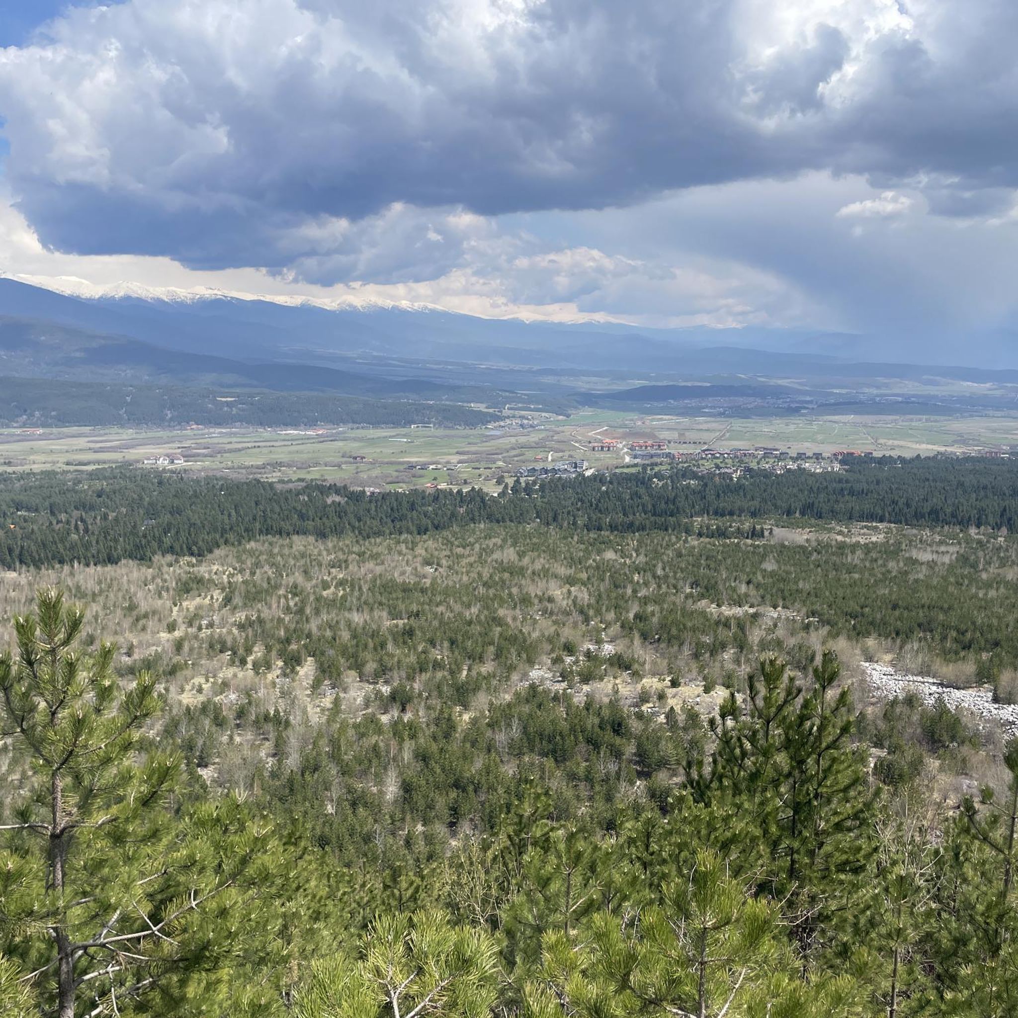
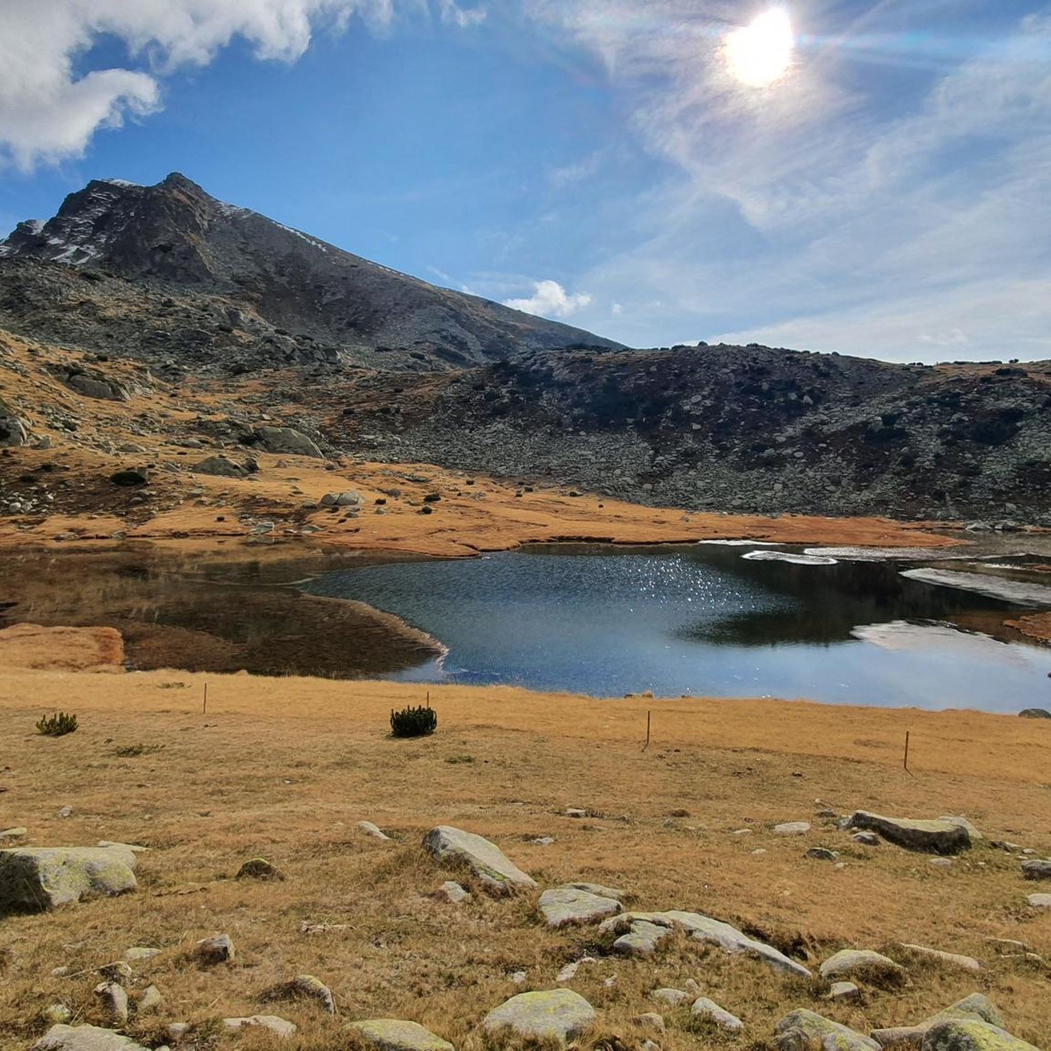
Mountaineering in Pirin offers access to a UNESCO World Heritage Site characterized by dramatic alpine landscapes and challenging peaks. The region features steep-flanked peaks, rocky summits, and jagged ridges, particularly in its northern section. Over 180 glacial lakes dot the mountain range, nestled in scenic cirques, alongside extensive coniferous forests. The distinct geology, a mix of granite, gneiss, marble, and limestone, contributes to the mountain's unique visual appeal.
Best mountaineering routes in Pirin
- The most popular mountaineering route is Vihren Hut – Vihren Peak loop from Pirin National Park, a 5.1 miles (8.2 km) trail that takes 5 hours 6 minutes to complete. This route offers a challenging ascent to Vihren Peak, the second-highest mountain in Bulgaria.
- Another top favourite among local mountaineers is Vihren Hut – Ribno Banderishko Lake loop from Pirin National Park, a moderate 3.1 miles (4.9 km) path. This trail leads through the Banderishki Lakes cirque, showcasing a chain of glacial lakes.
- Local mountaineers also love the Безбог – Полежан loop from Bezbog Lake, a 4.4 miles (7.0 km) trail leading through high alpine terrain, often completed in about 3 hours 35 minutes.
- Mountaineering in Pirin is defined by steep-flanked peaks, numerous glacial lakes, and well-preserved coniferous forests. The network offers options for various ability levels, from moderate walks to challenging ascents.
- The routes in Pirin are highly rated by the komoot community with an average score of 5.0 stars from over 8 reviews. More than 50 mountaineers have used komoot to explore Pirin's varied terrain.
Last updated: August 25, 2026
5.0
(3)
22
hikers
13.4km
07:40
1,270m
1,260m
Hard mountaineering route. Very good fitness required. Sure-footedness, sturdy shoes and alpine experience required.
5.0
(2)
15
hikers
11.0km
06:09
1,010m
1,010m
Hard mountaineering route. Very good fitness required. Sure-footedness, sturdy shoes and alpine experience required.

Sign up for free
5.0
(1)
6
hikers
Moderate mountaineering route. Good fitness required. Mostly accessible paths. Sure-footedness required.
7
hikers
7.04km
03:35
610m
610m
Hard mountaineering route. Good fitness required. Sure-footedness, sturdy shoes and alpine experience required.
3
hikers
10.9km
05:56
1,060m
1,060m
Hard mountaineering route. Very good fitness required. Sure-footedness, sturdy shoes and alpine experience required.
Our route recommendations are based on thousands of hikes, rides, and runs completed by other people on komoot.
Start today with a free account
Your next adventure awaits.
Login or Signup
Tips from the Community

It's actually not that dangerous. just hold to the chain and check where you step.
0
0


Second highest mountain in Bulgaria, so when the weather is good you can enjoy a very far-reaching view. The section of road between the Banderitsa campsite and the Vihren hut is closed from 8 a.m. to 4 p.m. (one-way street, controlled by the police), so start as early as possible. It is also worth being at the summit around 9 a.m. to 10 a.m., otherwise, depending on the weather, clouds can cover the summit.
1
0


Tranquility in nature with beautiful views.
0
0

From the top you have a great view of the rest of the Pirin Mountains. Definitely worth going all the way up. It takes about two and a half to three hours.
0
0

Frequently Asked Questions
How many mountaineering routes are available in Pirin?
Pirin offers a selection of 6 mountaineering routes, catering to various skill levels. These include challenging ascents to prominent peaks and moderate trails exploring glacial lake cirques.
What kind of terrain can I expect when mountaineering in Pirin?
Mountaineering in Pirin involves dramatic alpine landscapes characterized by steep-flanked peaks, rocky summits, and jagged ridges, especially in the northern section. The distinct geology, a mix of granite, gneiss, marble, and limestone, adds to its unique visual appeal. You'll also encounter numerous glacial lakes and extensive coniferous forests.
Are there any challenging mountaineering routes for experienced hikers in Pirin?
Yes, Pirin is well-known for its challenging routes. The ascent to Vihren Peak, Bulgaria's second-highest mountain, is a demanding hike, such as the Vihren Hut – Vihren Peak loop. The Koncheto Ridge also presents a particularly exhilarating and difficult experience for those with the necessary alpine experience. Another difficult option is the Vihren Hut – Oldest Tree in Bulgaria loop.
Are there any moderate mountaineering routes suitable for those looking for a less strenuous experience?
Absolutely. For a moderate experience, consider the Vihren Hut – Ribno Banderishko Lake loop. This trail leads through the beautiful Banderishki Lakes cirque, showcasing a chain of glacial lakes without the extreme elevation gain of the highest peaks.
What are some notable natural features or landmarks I can see along the mountaineering routes?
Pirin is rich in natural beauty. You can encounter over 180 glacial lakes, often called the 'eyes of Pirin,' such as Bezbog Lake, Okoto Lake, and the prominent Popovo Lake. Iconic peaks like Vihren Peak and the dramatic Koncheto Ridge are also major attractions. The ancient Baikushev's Pine, estimated to be around 1,350 years old, is another notable natural monument.
What is the best time of year for mountaineering in Pirin?
The best time for mountaineering in Pirin is typically during the summer months, from late June to early September. During this period, the snow has largely melted from the higher trails, and the weather is generally more stable, offering ideal conditions for exploring the peaks and glacial lakes. Some glacial lakes remain ice-covered for much of the year, even into early summer.
Are there any multi-day trekking options or mountain huts available in Pirin?
Yes, Pirin is well-suited for multi-day treks with overnight stays. Mountain huts like Vihren Hut, Bezbog Hut (near Bai Slavi Hut at Bezbog Lake), or Sinanitsa Hut are popular choices. These huts provide essential accommodation and a base for exploring various lake cirques and traversing parts of the main ridge.
Is Pirin National Park suitable for family-friendly hikes?
While many routes are challenging, there are options for families. Trails leading to some of the glacial lakes, particularly those with less elevation gain, can be suitable for families. It's always recommended to check the specific route details and difficulty before heading out with children.
What are the rules regarding dogs on trails in Pirin National Park?
Pirin National Park is a protected area. While dogs are generally allowed on trails, they must be kept on a leash at all times to protect wildlife and ensure the safety of other hikers. Always clean up after your pet and respect the park's regulations to preserve its natural environment.
Do I need a permit for hiking or mountaineering in Pirin National Park?
Generally, day hikes in Pirin National Park do not require a specific permit for entry. However, it's always advisable to check with the park authorities or local information centers in Bansko for the most current regulations, especially if you plan to undertake specific activities or multi-day treks that might have different requirements.
Where can I find parking and trailheads for mountaineering routes in Pirin?
The historic town of Bansko serves as a primary gateway to Pirin National Park. Many mountaineering routes, including those to Vihren Peak and the Banderishki Lakes, start from the vicinity of Bansko or the Vihren Hut, which is accessible by road from Bansko. Parking facilities are typically available near these popular starting points.
What do other mountaineers enjoy most about Pirin?
The komoot community highly rates mountaineering in Pirin, with an average score of 5.0 stars from over 8 reviews. Mountaineers often praise the dramatic alpine landscapes, the abundance of crystal-clear glacial lakes, and the challenging yet rewarding ascents to peaks like Vihren. The unique geology and diverse ecosystems also contribute to a memorable experience.
Most popular attractions in Pirin

Get inspired with the komoot mobile app


Explore more
Browse the best Mountain Hikes & Routes in other regions.
