The best running trails in Bulgarka
5.0
(4)
138
runners
6
runs
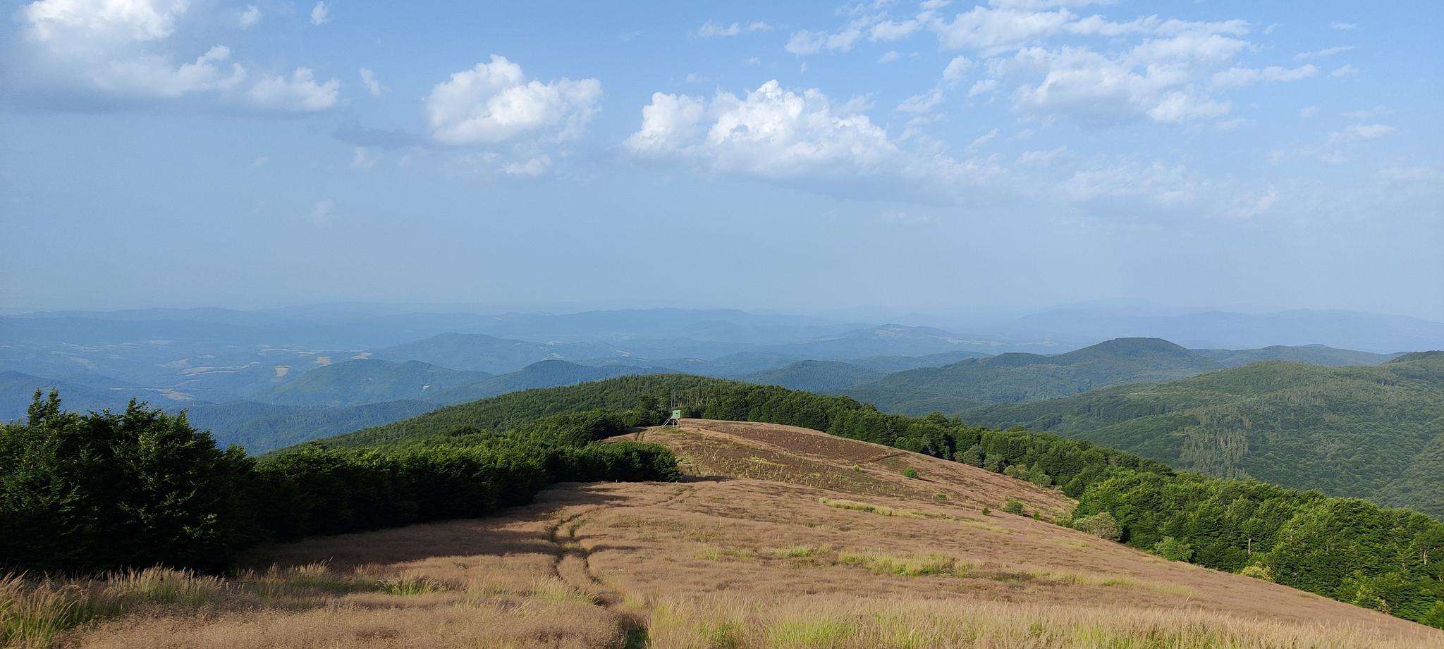
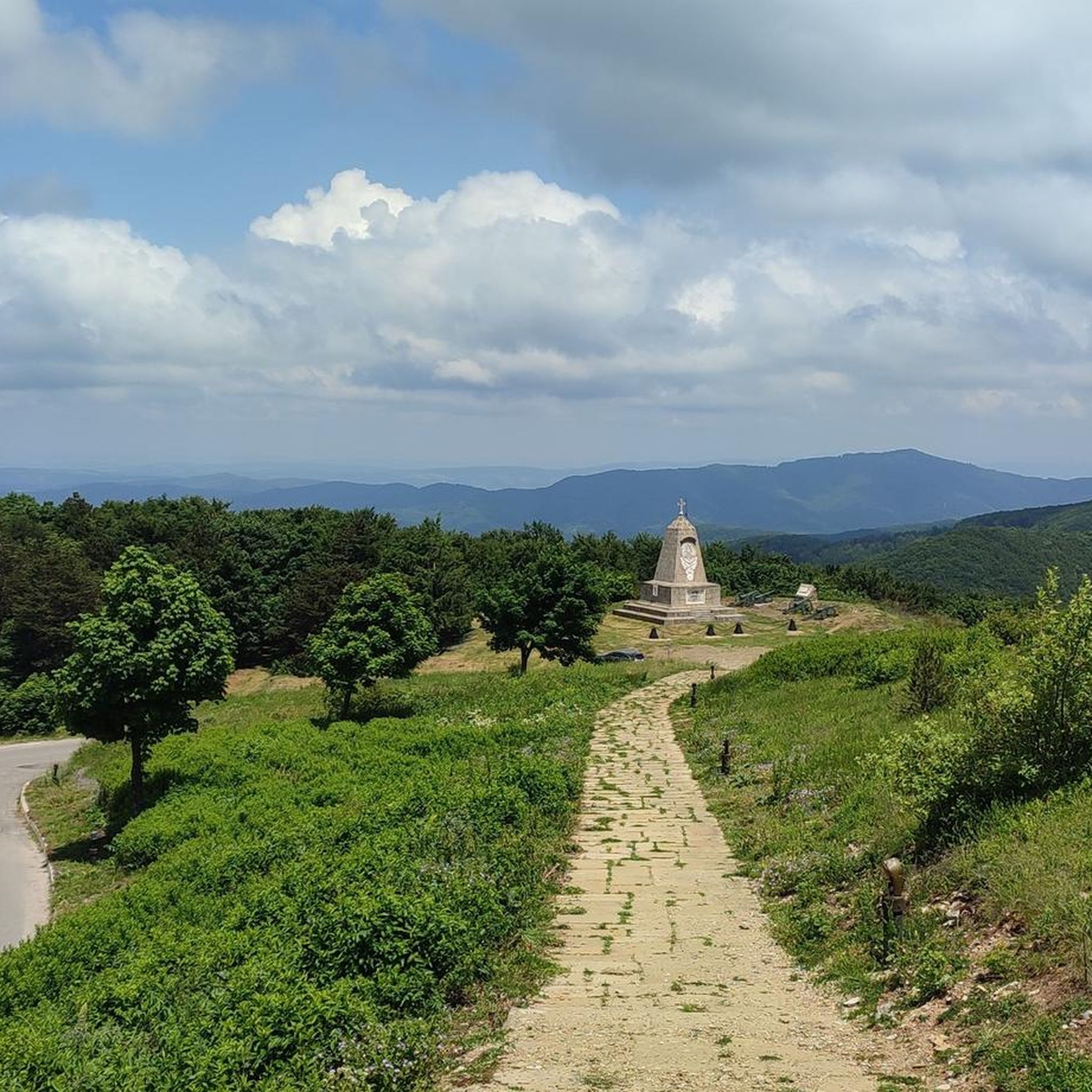
Jogging in Bulgarka offers a range of routes through varied terrain. The region is characterized by its hilly landscapes and significant elevation changes, providing challenging yet rewarding running experiences. Many routes feature climbs and descents, making them suitable for runners seeking a workout in natural surroundings. The trails often traverse diverse environments, from open areas to more secluded paths.
Best jogging routes in Bulgarka
- The most popular jogging route is Горната локва – Змеева дупка loop from Трявна, an…
Last updated: May 12, 2026
5.0
(4)
107
runners
17.8km
02:23
520m
520m
Hard run. Very good fitness required. Mostly paved surfaces. Suitable for all skill levels.
7
runners
18.0km
02:30
800m
800m
Hard run. Very good fitness required. Mostly paved surfaces. Suitable for all skill levels.

Sign up for free
6
runners
5.77km
00:38
140m
140m
Moderate run. Good fitness required. Mostly paved surfaces. Suitable for all skill levels.
5.0
(1)
3
runners
14.6km
01:50
290m
290m
Moderate run. Good fitness required. Mostly paved surfaces. Suitable for all skill levels.
2
runners
19.3km
02:09
340m
340m
Hard run. Very good fitness required. Mostly paved surfaces. Suitable for all skill levels.
Our route recommendations are based on thousands of hikes, rides, and runs completed by other people on komoot.
Start today with a free account
Your next adventure awaits.
Login or Signup
Popular around Bulgarka
Frequently Asked Questions
What kind of terrain can I expect on the running routes in Bulgarka?
Running in Bulgarka is characterized by its hilly landscapes and significant elevation changes. You can expect challenging routes with numerous climbs and descents, traversing diverse environments from open areas to more secluded paths.
Are there running routes suitable for beginners in Bulgarka?
The running routes in Bulgarka are generally moderate to difficult, featuring significant elevation gains. While there are no routes classified as 'easy', you'll find several moderate options, such as the Чукаря loop from Bojentsi, which is 9.0 miles long with over 280 meters of ascent.
How many running routes are available in Bulgarka?
There are 6 dedicated running routes in Bulgarka featured on komoot, offering a variety of experiences for runners. These include 3 moderate and 3 difficult trails.
What is the typical duration for a running route in Bulgarka?
The duration of running routes in Bulgarka varies depending on the distance and elevation. For example, the Горната локва – Змеева дупка loop from Трявна, a difficult 11.0-mile trail, typically takes around 2 hours and 23 minutes. Shorter, moderate routes like the Running loop from Boriki (3.4 miles) can be completed in about 37 minutes.
Are there any circular running routes in Bulgarka?
Yes, many of the running routes in Bulgarka are circular, allowing you to start and finish at the same point. Examples include the challenging Златевица loop from Enina and the moderate Чукаря loop from Bojentsi.
What do other runners say about the trails in Bulgarka?
The running trails in Bulgarka are highly rated by the komoot community, with an average score of 5.0 stars. Runners often praise the challenging ascents and varied landscapes that define the region's routes.
Are the running trails in Bulgarka suitable for running with dogs?
While the guide does not explicitly state whether routes are dog-friendly, the natural, varied terrain of Bulgarka generally offers suitable conditions for running with well-behaved dogs. Always ensure your dog is on a leash and check local regulations or signage for any restrictions.
Can I find less crowded running trails in Bulgarka?
Bulgarka's trails are known for their natural surroundings. While specific crowd levels aren't detailed, exploring routes like the Спортен риболов loop from Iztochnik, which is a longer, difficult route, might offer a more secluded experience compared to more popular starting points.
What are some notable features or viewpoints along the running routes?
The region's hilly nature means many routes offer scenic viewpoints over the surrounding landscapes. While specific named viewpoints are not detailed for each route, the significant elevation gains on trails like the Златевица loop from Enina (over 800 meters of ascent) suggest ample opportunities for panoramic views.
What is the best season for trail running in Bulgarka?
Given the hilly terrain and diverse environments, spring and autumn are generally ideal for trail running in Bulgarka, offering milder temperatures and beautiful natural scenery. Summer can be warm, especially on exposed sections, while winter might present challenges with snow and ice on higher elevations.
Are there any shorter, moderate running options in Bulgarka?
Yes, for those looking for a moderate challenge without extreme distances, the Running loop from Boriki is a good option. It's 3.4 miles long with over 140 meters of elevation gain, making it a manageable and enjoyable run.

Get inspired with the komoot mobile app


