The best walks and hikes in Färnebofjärden
4.5
(354)
1,324
hikers
12
hikes
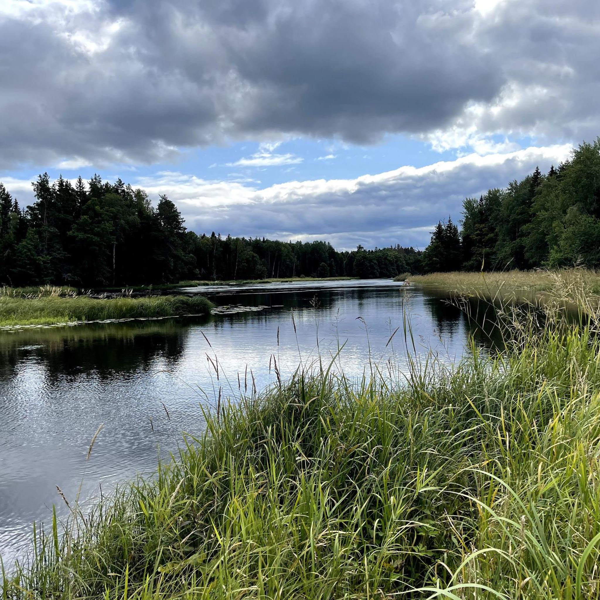
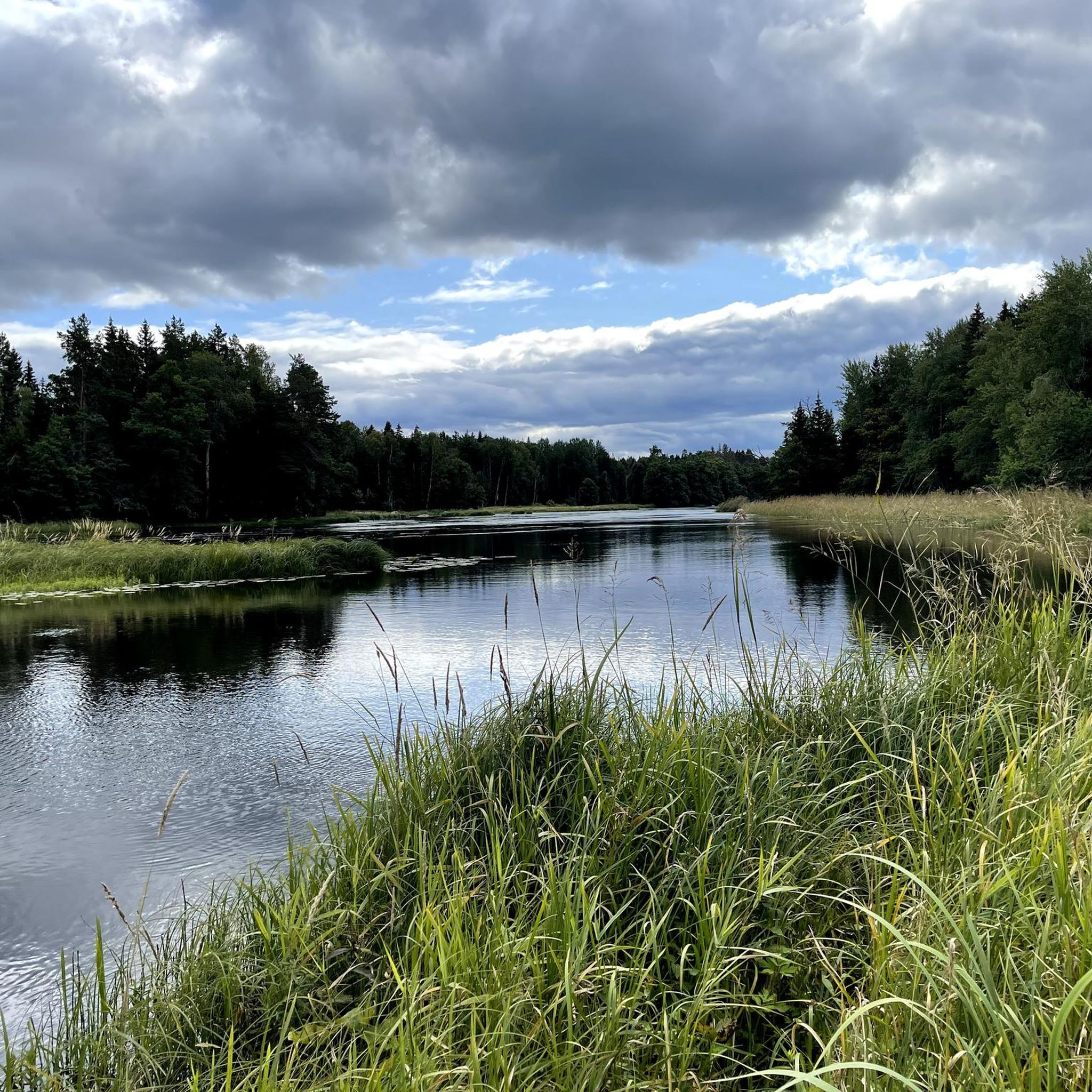
Hiking in Färnebofjärden National Park is characterized by its dynamic river landscape, featuring the meandering Dalälven River, numerous islands, and extensive floodplains. The park lies on the Limes Norrlandicus, a biological border where northern and southern flora converge, resulting in diverse forest types including boreal, deciduous, and pine forests. Wetlands and marshlands are also prominent features, contributing to the varied terrain available for exploration.
Best hiking trails in Färnebofjärden
- The most popular hiking route is The pry - Färnebofjärden National Park, an easy 2.3 miles (3.7 km) trail that takes 55 minutes to complete. This route offers a short, accessible walk through the park's natural environment.
- Another top favourite among local hikers is Gysinge Lake – Lake and River Walk loop from Mattön, an easy 3.4 miles (5.5 km) path. This trail provides views of Gysinge Lake and follows the riverbanks.
- Local hikers also love the View of Färnebofjärden Lake – Lake and River Walk loop from Mattön, an 8.6 miles (13.8 km) trail leading through varied river and lake landscapes, often completed in about 3 hours 30 minutes.
- Hiking in Färnebofjärden is defined by river landscapes, diverse forests, and extensive wetlands. The network offers options for different ability levels, from easy strolls to moderate longer routes.
- The routes in Färnebofjärden are highly rated by the komoot community with an average score of 4.5 stars from over 180 reviews. More than 760 hikers have used komoot to explore Färnebofjärden's varied terrain.
Last updated: May 11, 2026
4.3
(46)
265
hikers
3.65km
00:56
10m
10m
Easy hike. Great for any fitness level. Easily-accessible paths. Suitable for all skill levels.
4.6
(22)
79
hikers
Moderate hike. Good fitness required. Easily-accessible paths. Suitable for all skill levels.

Sign up for free
4.4
(22)
71
hikers
10.4km
02:38
30m
30m
Moderate hike. Good fitness required. Easily-accessible paths. Suitable for all skill levels.
4.5
(15)
56
hikers
Easy hike. Great for any fitness level. Easily-accessible paths. Suitable for all skill levels.
4.2
(13)
42
hikers
5.48km
01:23
10m
10m
Easy hike. Great for any fitness level. Easily-accessible paths. Suitable for all skill levels.
Get access to more routes and recommendations from other explorers.
Sign up for free
Already have an account?
Our route recommendations are based on thousands of hikes, rides, and runs completed by other people on komoot.
Start today with a free account
Your next adventure awaits.
Login or Signup
Popular around Färnebofjärden
Tips from the Community

Experience the rapids in Sandviken, Sweden – an unforgettable hiking highlight! This protected area, part of Färnebofjärden National Park, offers mystical forest trails and breathtaking natural scenery.
0
0

Very impressive. The beavers have done a great job.
0
0
Beautiful national park with beautiful hikes and calm nature. There are plenty of places to stay overnight and you are always surrounded by water.
1
0
Beautiful national park. There are plenty of places to stay overnight and you are always surrounded by water.
4
0
This is the entrance to the national park. You can barbecue and get lots of information about the area and the hikes. There is also a toilet.
1
0
Great landscape. You are always surrounded by water. However, some of the paths are very overgrown. Sturdy shoes are a must.
1
0

Wonderful overview of the trees.
1
0
Here near the water you can clearly see where the beaver was active.
2
0
Frequently Asked Questions
How many hiking trails are available in Färnebofjärden National Park?
Färnebofjärden National Park offers a network of 12 hiking trails. These routes cater to various preferences, with 7 easy trails and 5 moderate options, ensuring there's something for every hiker.
Are there any easy or family-friendly hiking trails in Färnebofjärden?
Yes, Färnebofjärden National Park is well-suited for families and beginners, with 7 easy trails available. A great option is The pry - Färnebofjärden National Park, an accessible 2.3-mile (3.7 km) route that takes about 55 minutes to complete. Another family-friendly choice is the Gysinge Lake – Lake and River Walk loop from Mattön, an easy 3.4-mile (5.5 km) path offering scenic views.
What kind of wildlife can I expect to see while hiking in Färnebofjärden?
Färnebofjärden is renowned for its exceptional biodiversity, making it a fantastic spot for wildlife viewing. The park is home to over 200 bird species, including white-tailed eagles, ospreys, and all eight of Sweden's woodpecker species. You might also spot mammals like moose, lynx, red fox, roe deer, otters, and beavers, especially along the riverbanks.
Are there any circular hiking routes in Färnebofjärden National Park?
Yes, many trails in Färnebofjärden are designed as loops, allowing you to start and end at the same point. For example, the View of Färnebofjärden Lake – Lake and River Walk loop from Mattön is an 8.6-mile (13.8 km) moderate trail that offers varied river and lake landscapes. The Gysinge Railway Bridge – Lake and River Walk loop from Gysinge is another moderate circular option, spanning 6.4 miles (10.3 km).
Where can I find panoramic views or viewpoints in the park?
For stunning panoramic views of the entire park, head to the Skekarsbo Observation Tower. This tower provides an excellent vantage point to appreciate the expansive river landscape and diverse forests. You can incorporate it into your hike with the Shelter No. 2 with Fire Pit – Skekarsbo Observation Tower loop from Skekarsbo.
What are the best times of year to hike in Färnebofjärden?
Färnebofjärden offers unique experiences throughout the year. Spring and autumn are particularly beautiful for birdwatching and enjoying the changing foliage. Summer provides lush greenery and warmer weather for exploring the river landscape. Even winter hiking can be rewarding, with opportunities to experience the serene, snow-covered environment, though some trails might be less accessible.
Is Färnebofjärden National Park accessible by public transport?
While public transport options directly into the heart of the national park can be limited, it's generally recommended to check local bus services to nearby towns like Gysinge. From there, you might need to arrange for a taxi or walk to the main entrances or trailheads. For detailed and up-to-date information on public transport, it's best to consult local transport authorities.
Where can I park when visiting Färnebofjärden National Park?
Parking is available at several key entry points to the national park. The Naturum (Visitor Center) in Gysinge serves as an excellent starting point and typically offers parking facilities. Other trailheads and popular areas also have designated parking spaces. Look for signs indicating parking areas as you approach the park.
Are there facilities like visitor centers or cafes in the park?
Yes, the Naturum (Visitor Center) in Gysinge is a central hub for visitors. It provides valuable information about the park, exhibitions, and visitor facilities. While there might not be numerous cafes directly on the trails, Gysinge often has options for refreshments and meals.
What makes the landscape of Färnebofjärden National Park unique for hiking?
Färnebofjärden's landscape is unique due to its dynamic river system, where the Dalälven River forms an expansive lake with over 200 islands and extensive floodplains. It also lies on the 'Limes Norrlandicus,' the biological border between northern and southern Sweden, resulting in a rare mix of boreal, deciduous, and pine forests, alongside significant wetlands and dramatic rapids like Gysinge.
What do other hikers say about their experience in Färnebofjärden?
The hiking routes in Färnebofjärden are highly rated by the komoot community, with an average score of 4.5 stars from over 180 reviews. Hikers often praise the park's diverse river landscapes, the tranquility of its forests, and the abundance of wildlife. Many appreciate the well-maintained trails and the unique blend of northern and southern flora.
Most popular attractions in Färnebofjärden

Get inspired with the komoot mobile app


Explore more
Browse the best Hikes in other regions.
