The best walks and hikes around Pittenhart
4.4
(6465)
27,733
hikers
12
hikes
Hiking around Pittenhart offers diverse terrain in the Alpine foothills of the Chiemgau region. The landscape features a mix of shady forest paths and open, sunny sections, providing varied hiking experiences. Numerous lakes, including the Seeoner Seen Nature Reserve, Bansee, Hartsee, and Eschenauer See, are integrated into many routes, offering scenic lakeside walks. This area provides opportunities for panoramic hikes with views of the Alps and the surrounding Chiemsee landscape.
Best hiking trails around Pittenhart
- The most popular hiking route…
Last updated: September 30, 2026
4.0
(2)
8
hikers
6.51km
01:42
50m
50m
Easy hike. Great for any fitness level. Easily-accessible paths. Suitable for all skill levels.
4.0
(2)
8
hikers
4.50km
01:10
30m
30m
Easy hike. Great for any fitness level. Easily-accessible paths. Suitable for all skill levels.

4.5
(2)
4
hikers
15.7km
04:08
130m
130m
Moderate hike. Good fitness required. Easily-accessible paths. Suitable for all skill levels.
4.0
(2)
11
hikers
Easy hike. Great for any fitness level. Easily-accessible paths. Suitable for all skill levels.
3
hikers
3.33km
00:51
20m
20m
Easy hike. Great for any fitness level. Easily-accessible paths. Suitable for all skill levels.
Get access to more routes and recommendations from other explorers.
Already have an account?
Our route recommendations are based on thousands of hikes, rides, and runs completed by other people on komoot.
Start today with a free account
Your next adventure awaits.
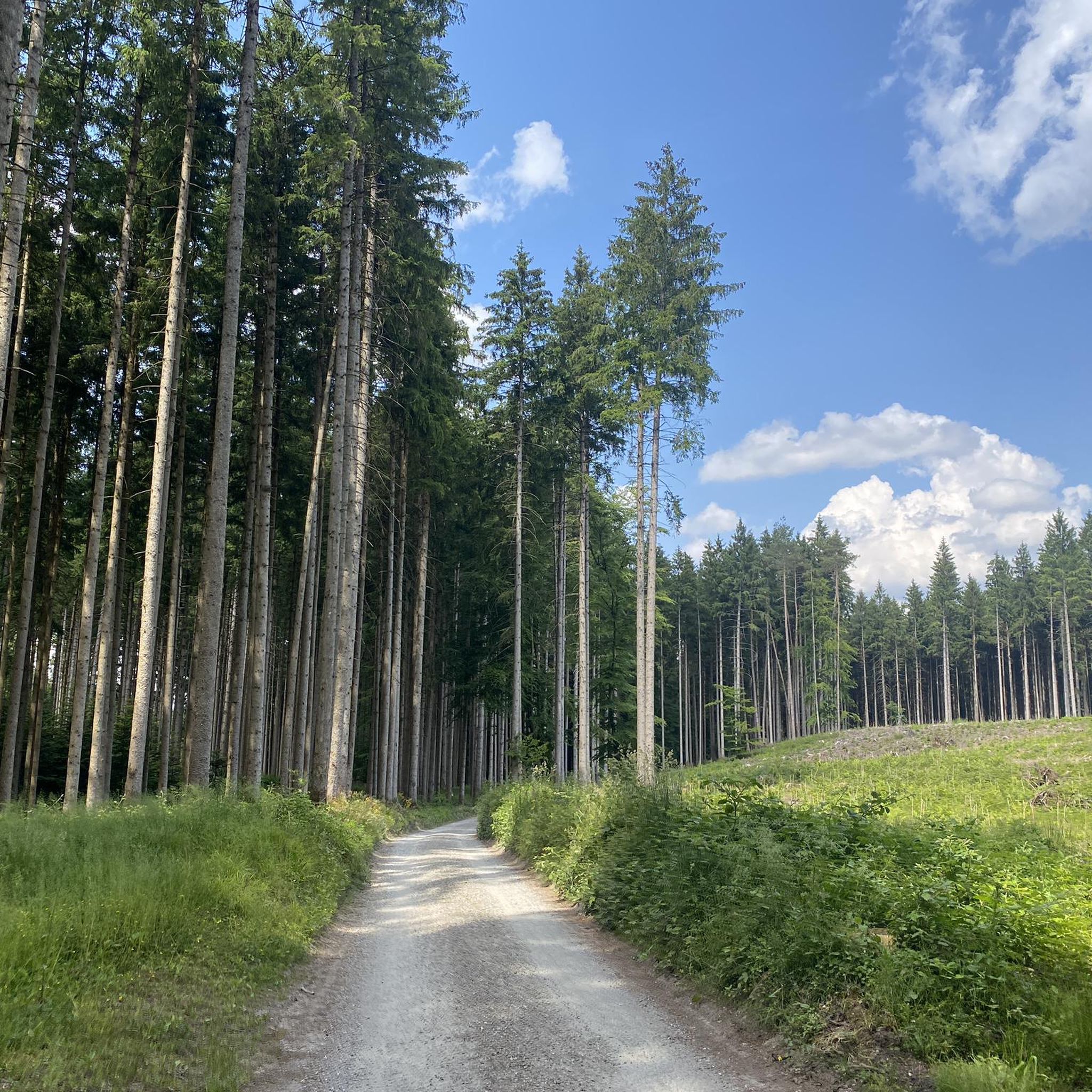
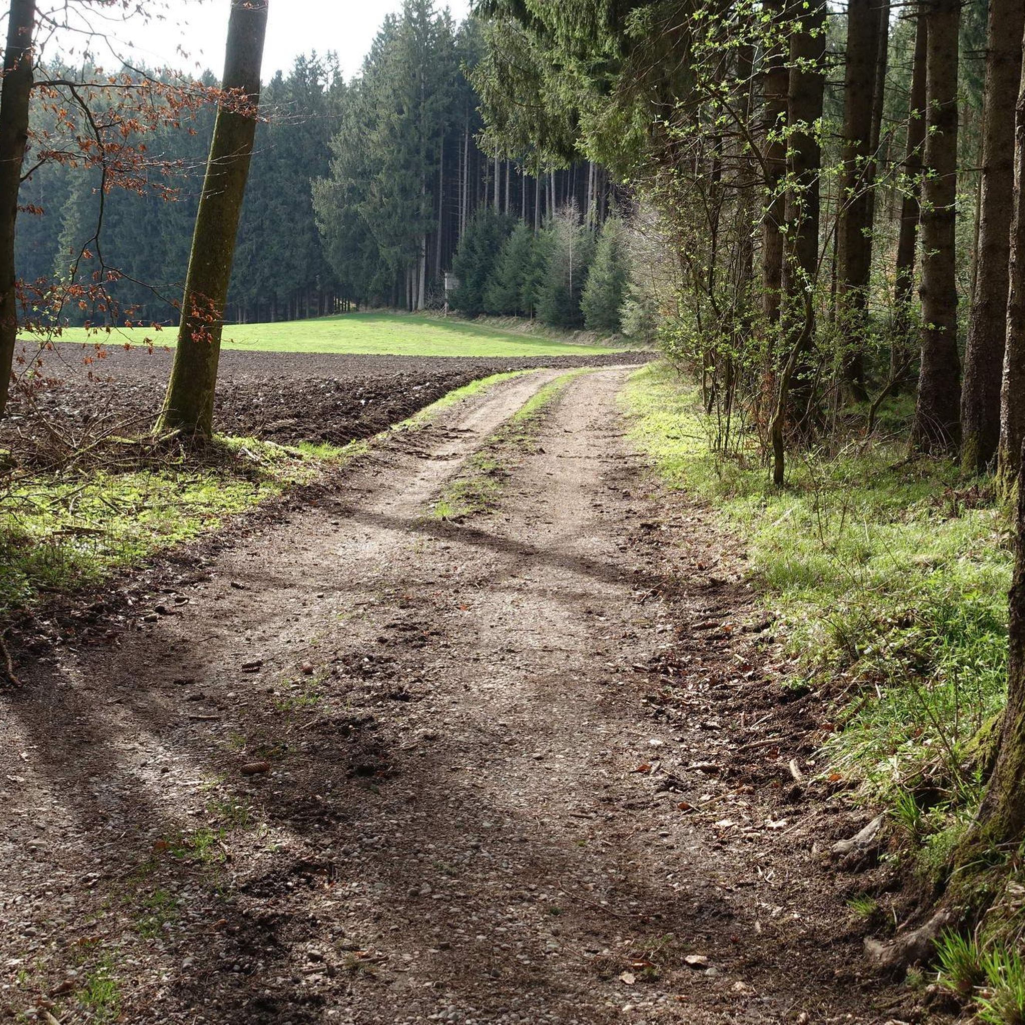
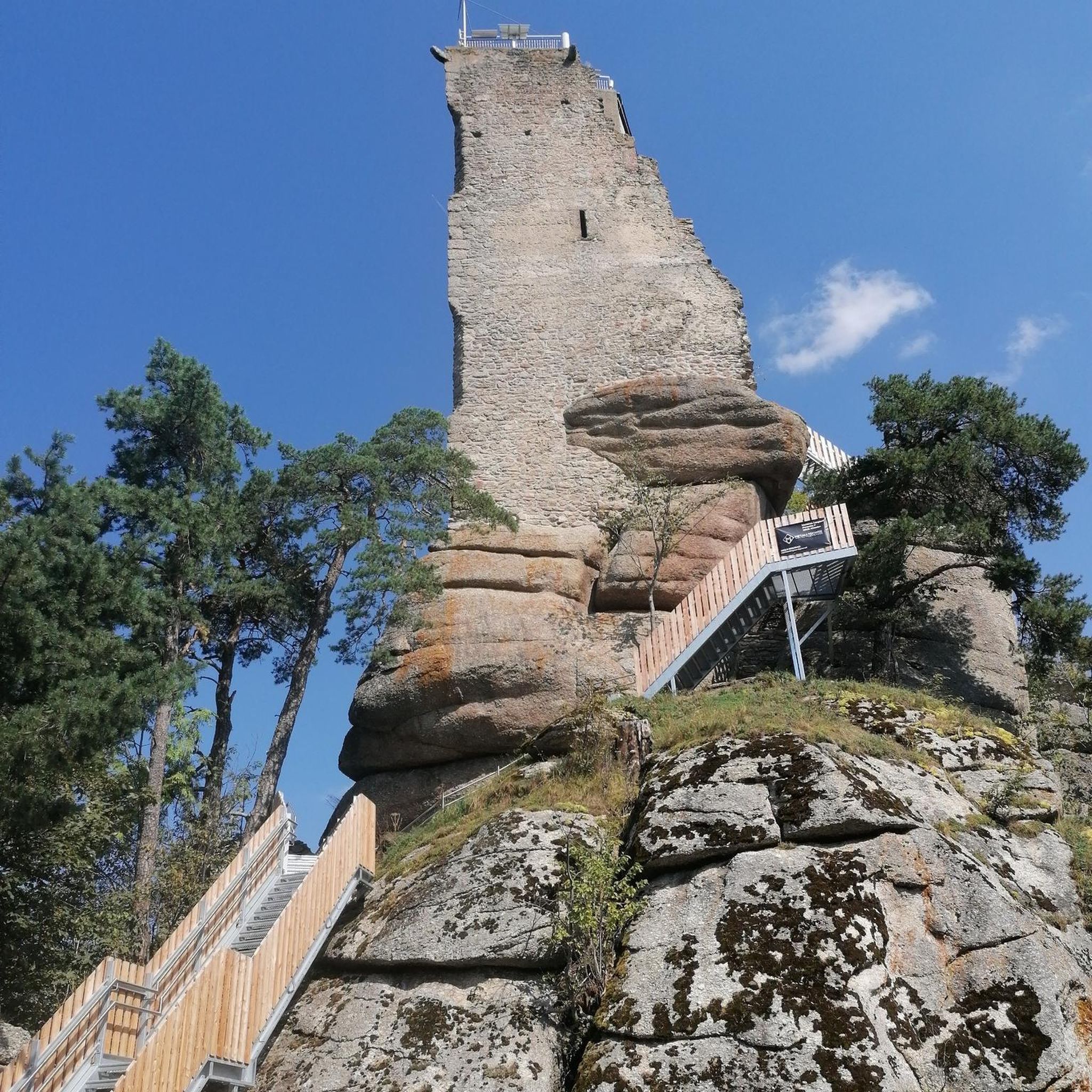
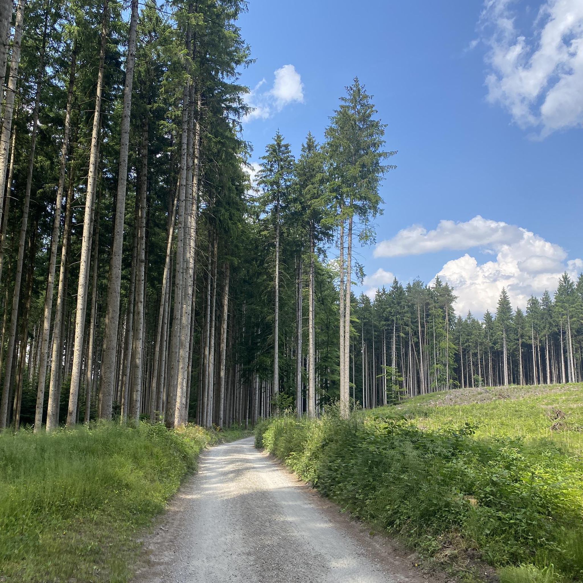
Tips from the Community

Around the Seeoner See there are always beautiful views of the Seeon Monastery, as well as the Kloster- and Weitsee.
2
0
Great view of the Griessee.
0
0

Beautiful castle in Oberbrunn with information board.
1
0

Anyone approaching the monastery over the wooden bridge has a beautiful view of the building and the Seeon lakes.
1
0

Painter's Corner. Amazing view
0
0
A beautiful view of the monastery.
1
0
This beautiful bridge leads over the lake to the monastery.
1
0
Frequently Asked Questions
How many hiking trails are available around Pittenhart?
There are over 10 hiking routes around Pittenhart, offering a variety of experiences from easy strolls to more moderate treks. The area is known for its diverse terrain in the Alpine foothills of the Chiemgau region.
Are there easy hiking trails suitable for families in Pittenhart?
Yes, Pittenhart offers several easy hiking trails perfect for families. For instance, the Oberbrunn Castle – Eschenauer See loop from Schloss Oberbrunn is an easy 4.0-mile (6.5 km) route that takes about 1 hour 42 minutes, featuring paths around Eschenauer See.
What kind of landscapes can I expect to see on hikes in Pittenhart?
Hikes in Pittenhart offer a beautiful mix of landscapes. You'll find shady forest paths, open sunny sections, and numerous picturesque lakes such as Bansee, Hartsee, Eschenauer See, and Seeoner See. The region is nestled in the foothills of the Chiemgau Alps, providing opportunities for panoramic views.
Are there any circular walks around Pittenhart?
Many of the trails in Pittenhart are circular, allowing you to start and end at the same point. An example is the Wayside Shrine with Crucifix – The Zelter Station Pittenhart loop from Pittenhart, a 3.1-mile (5.0 km) trail through the local countryside.
What are the best routes for experiencing the lakes around Pittenhart?
The region is dotted with beautiful lakes. The Griessee – View of Kloster Seeon loop from Pittenhart is a moderate 9.8-mile (15.7 km) path that connects several lakes and offers views towards the historic Kloster Seeon.
What historical or cultural sights can be seen along the hiking trails?
Many hiking trails in Pittenhart pass by or originate near historical sites. Kloster Seeon (Seeon Monastery) is a notable attraction that adds cultural interest to the natural beauty of the hikes. Additionally, you might encounter various wayside shrines and other local landmarks.
What do other hikers enjoy most about hiking in Pittenhart?
The hiking routes in Pittenhart are highly rated by the komoot community, with an average score of 4.4 stars from over 5700 reviews. Hikers often praise the successful mix of picturesque landscapes, varied routes, and the serene lakeside walks offered by the numerous lakes in the area.
Are there any viewpoints with panoramic views in the Pittenhart area?
Yes, Pittenhart's location in the Chiemgau Alps foothills provides opportunities for panoramic hikes. You can find magnificent views of the Alps and the surrounding Chiemsee landscape. For specific viewpoints, consider exploring highlights like View over Lake Chiemsee and the Chiemgau Alps.
What is the typical duration for hikes in Pittenhart?
Hikes in Pittenhart vary in duration depending on the route and your pace. Easy trails like the Pittenhart Welcome Sign loop from Rothbuch can be completed in about 1 hour 10 minutes, while longer, moderate routes might take up to 4 hours or more.
What natural attractions are near Pittenhart that I can explore?
Beyond the immediate hiking trails, the region boasts several natural attractions. The Langbürgner See is a beautiful lake, and you can also find unique natural monuments like the Mozart Oak (Mozarteiche).
Are there any longer, more challenging routes for experienced hikers?
While Pittenhart is known for its many easy routes, there are also moderate options for those seeking a longer trek. The Griessee – View of Kloster Seeon loop from Pittenhart, at 9.8 miles (15.7 km), offers a more extended experience connecting several lakes.
What is the best time of year to go hiking in Pittenhart?
Pittenhart is beautiful throughout the year, but spring, summer, and autumn are particularly popular for hiking. The changing seasons, especially autumn with its colorful forests, enhance the natural beauty of the area. The varied terrain ensures pleasant conditions for most of the year.
Most popular routes around Pittenhart
Most popular attractions around Pittenhart

Get inspired with the komoot mobile app


Explore more
Browse the best Hikes in other regions.
