The best mountain hikes in Almenland
4.8
(29)
830
hikers
50
hikes
Mountaineering routes in Almenland traverse Europe's largest contiguous low alpine grazing area, characterized by 125 continuously farmed alpine pastures. The region features diverse terrain, from gentle alpine pastures to rugged, craggy cliffs, particularly around areas like Hochlantsch, Teichalm, and Sommeralm. Notable natural features include the dark blue Teichalmsee, unique moorlands, and dramatic gorges such as the Bärenschützklamm, offering varied landscapes for exploration.
Best mountaineering routes in Almenland
- The most popular mountaineering route is Hochlantsch Summit (1,720 m) – Mountain Church…
Last updated: May 13, 2026
5.0
(1)
25
hikers
14.1km
04:28
410m
410m
Moderate mountaineering route. Good fitness required. Mostly accessible paths. Sure-footedness required.
15
hikers
4.62km
01:57
400m
400m
Moderate mountaineering route. Good fitness required. Easily-accessible paths. Suitable for all skill levels.

Sign up for free
14
hikers
17.6km
06:40
910m
910m
Hard mountaineering route. Very good fitness required. Sure-footedness, sturdy shoes and alpine experience required.
6
hikers
3.23km
01:32
340m
340m
Moderate mountaineering route. Good fitness required. Easily-accessible paths. Suitable for all skill levels.
6
hikers
4.11km
01:32
140m
140m
Hard mountaineering route. Great for any fitness level. Sure-footedness, sturdy shoes and alpine experience required.
Get access to more routes and recommendations from other explorers.
Sign up for free
Already have an account?
Our route recommendations are based on thousands of hikes, rides, and runs completed by other people on komoot.
Start today with a free account
Your next adventure awaits.
Login or Signup
Popular around Almenland

Central Alps Trail Eastern Section – Discover Austria
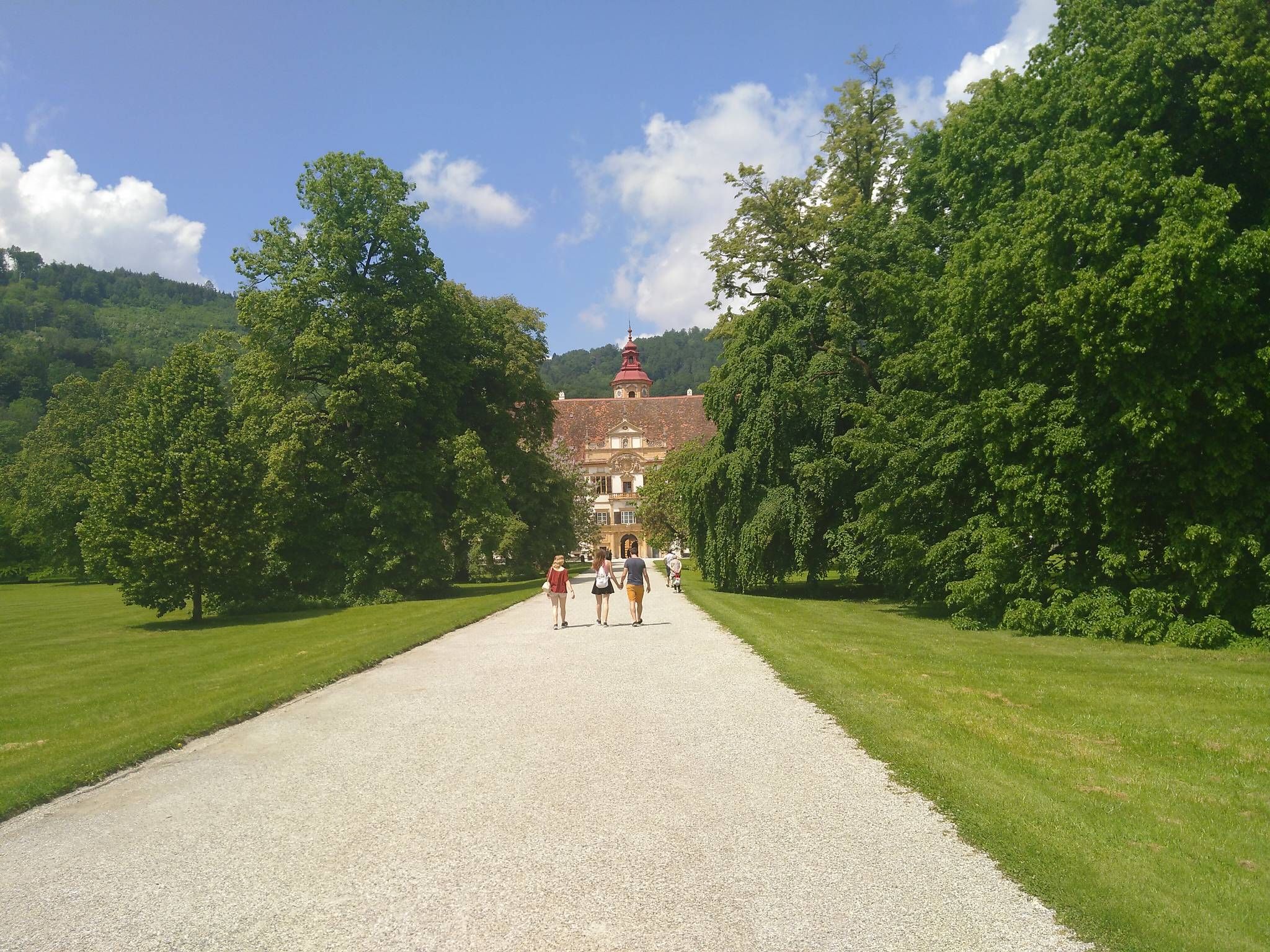
The Styrian Mariazell Way – a pilgrim's hike through southeastern Austria

Discover Styria in Austria on foot – ‘From Glacier to Wine’ North Route
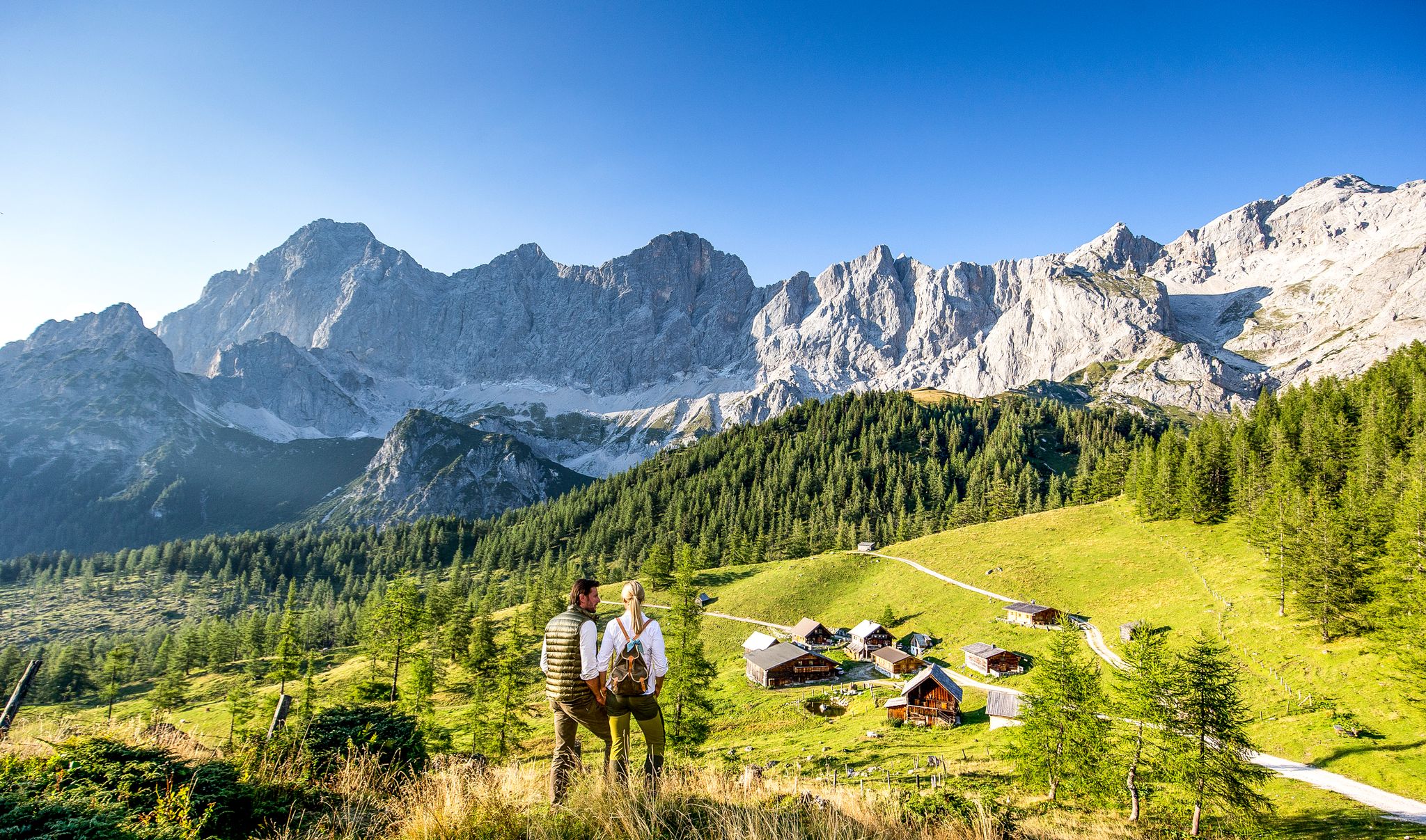
Endless hiking experiences in Styria
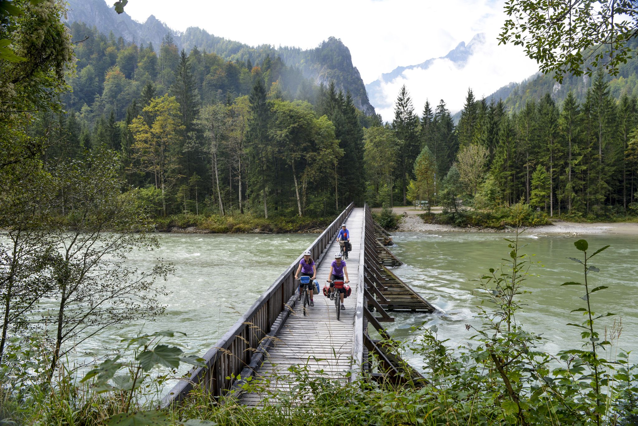
The most beautiful bike rides in Styria
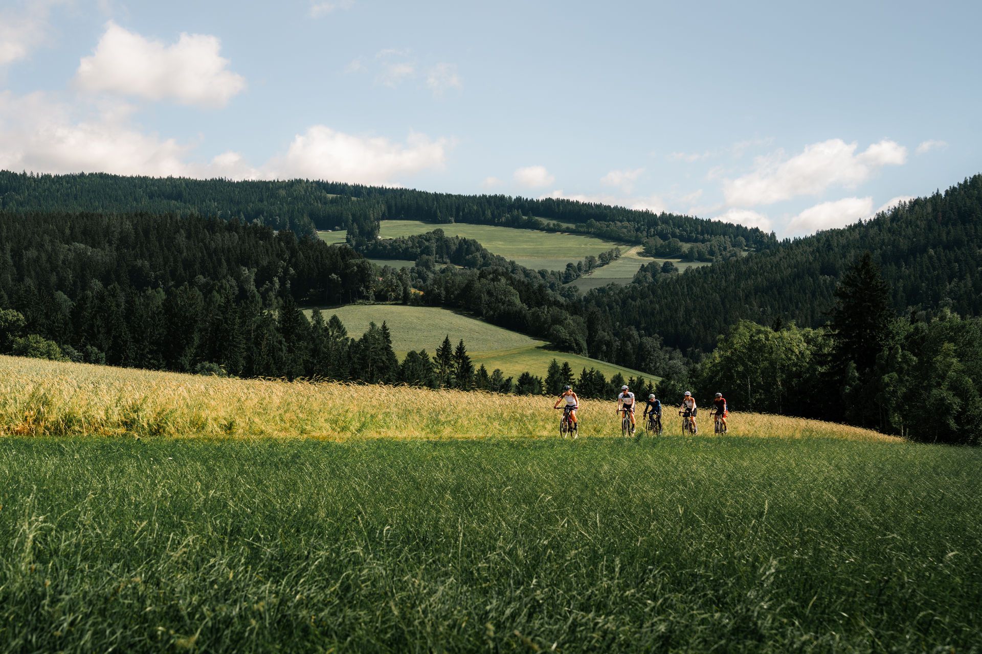
Spring awakening – through Eastern Styria on two wheels
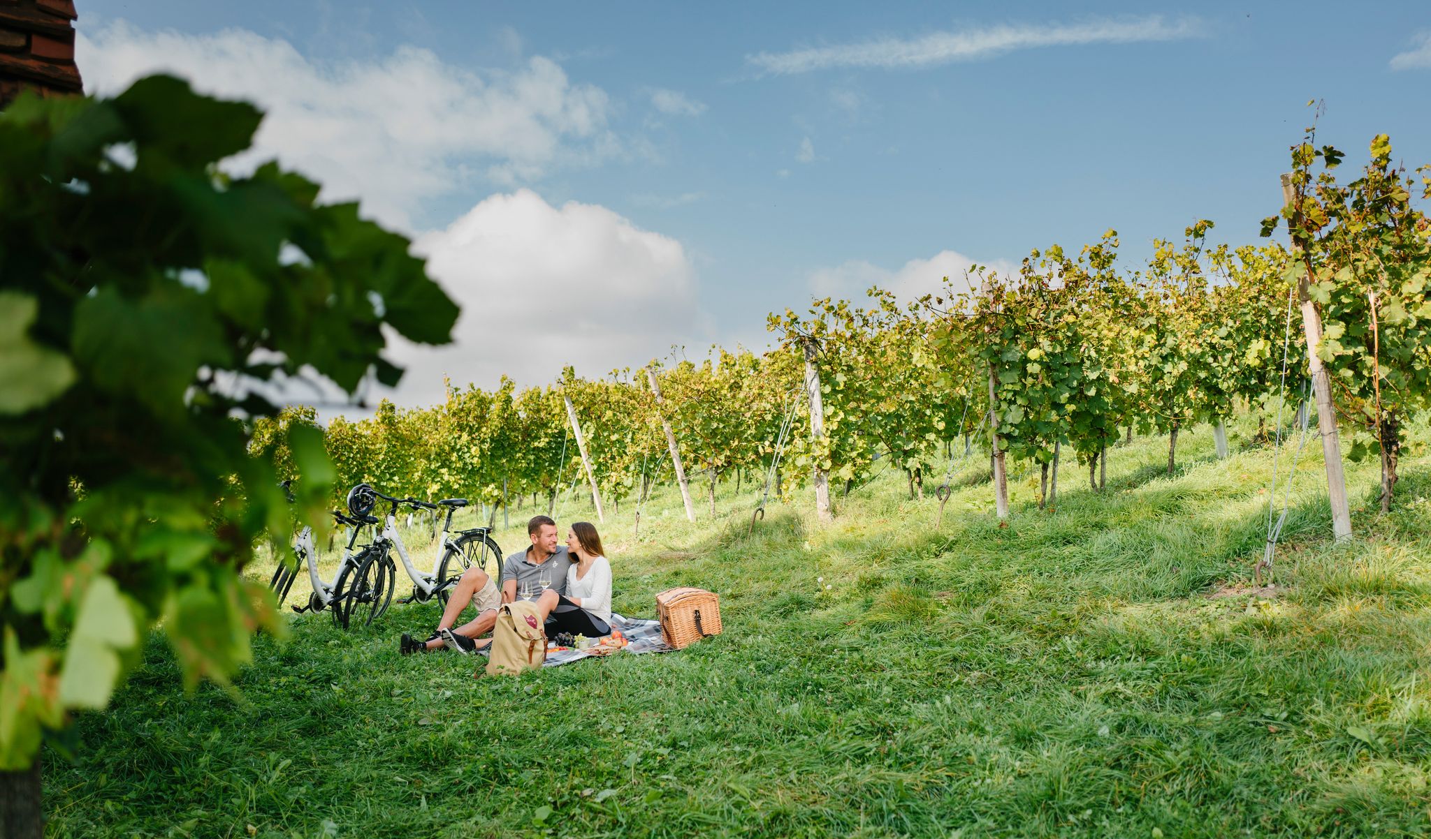
Discovering the most beautiful sides of Styria
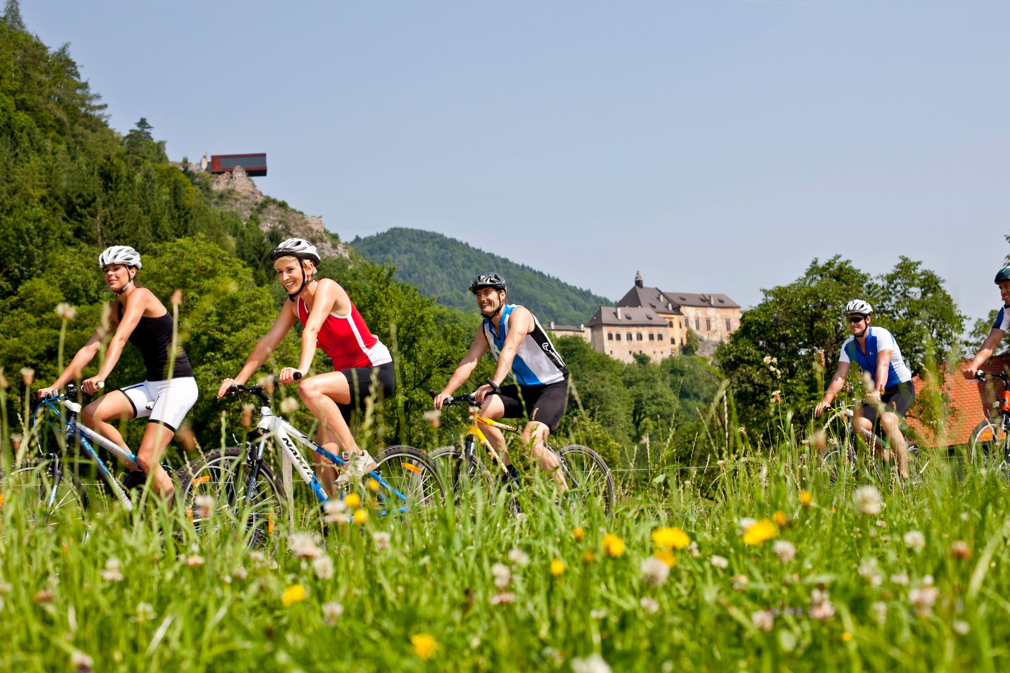
Discover the most beautiful sides of Styria by bike
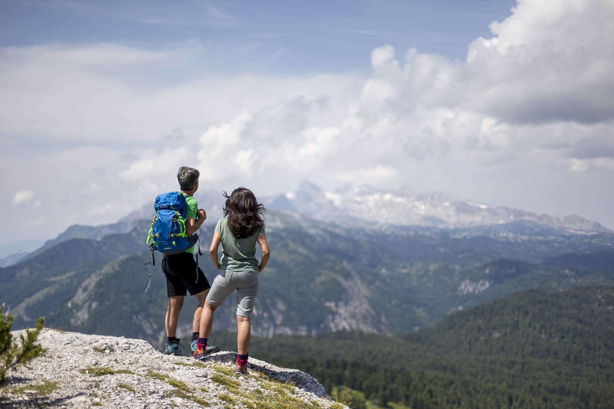
The most beautiful hikes for your summer in Styria
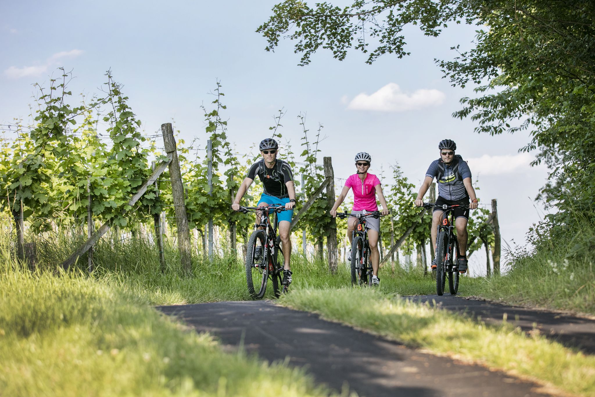
6 gourmet rides in East and Southeast Styria
Other adventures in Almenland


Tips from the Community

Wonderful place for hiking with good gastronomic surroundings
0
0

Great hike! Highly recommended. Great views, enjoy nature, a bit strenuous in places, surefootedness required around the summit. Take plenty of water with you! With a bit of luck you can see ibexes and chamois.
2
0

Great view, from the Dachstein to Hungary
2
0
The via ferrata ends with an airy ridge passage C/D, which can be avoided on the left in easy terrain.
0
0

From the summit cross of the Hoher Zetz you have a beautiful view towards Schöckl, the Sommeralm with the Plankogel 🗻 and to the east of the Kulm and Burgenland 🌞 On very clear days all the way to Hungary 🌏 Since you are allowed to park at the Gschnaidter Kreuz at around 825 meters above sea level, it is also possible to stay there until sunset 🌄, as on the way back you can also choose forest paths for the descent, with the exception of the first hundred meters in altitude 🌜🦊
8
0
🍺🎺 Nice rural atmosphere with folk music 🎻🍲 Intertrain has already embedded the link to the website ⬆️ The farm seems to be very well attended, probably especially on beautiful days like today 🌞
6
0
Frequently Asked Questions
How many mountaineering routes are available in Almenland?
Almenland offers a diverse network of over 50 mountaineering routes. These trails traverse Europe's largest contiguous low alpine grazing area, providing a wide range of experiences from gentle alpine pastures to rugged cliffs.
What is the best time of year for mountaineering in Almenland?
The warmer months, typically from late spring to early autumn, are ideal for mountaineering in Almenland. During this period, the alpine pastures are lush, and the weather is generally favorable for exploring the diverse terrain, including the high plateaus and gorges.
Are there any family-friendly mountaineering routes in Almenland?
Yes, Almenland offers routes suitable for families. For instance, the region features accessible trails like the circular moor path at Teichalm, which allows quiet connoisseurs and families to enjoy the natural beauty. While specific family-friendly mountaineering routes are not detailed, the presence of gentle alpine pastures suggests easier options. The Gschaidberg loop from Nechnitz Holzskulpturenpark is an easy 3.4-mile trail that could be a good option.
Can I bring my dog on the mountaineering trails in Almenland?
While Almenland is a nature park, specific dog rules for mountaineering trails are not provided in the region research. It's generally advisable to keep dogs on a leash, especially in areas with grazing cattle or wildlife, and to check local regulations or signage at trailheads. Always ensure your dog is well-behaved and that you clean up after them.
Are there circular mountaineering routes in Almenland?
Yes, many mountaineering routes in Almenland are designed as loops, allowing you to start and end at the same point. Examples include the challenging Hochlantsch Summit (1,720 m) – Mountain Church loop from Latschen-Hochmoor, the moderate Rote Wand Summit – Tyrnauer Alm loop from Latschen-Hochmoor, and the easy Gschaidberg loop from Nechnitz Holzskulpturenpark.
What kind of wildlife might I encounter while mountaineering in Almenland?
Almenland's varied landscape supports a rich ecosystem. While mountaineering, you might encounter rare species such as native orchids, colorful butterflies, pheasants, wood grouse, hazel hens, weasels, ibexes, and even golden eagles. The alpine pastures are also home to thousands of cattle, oxen, and calves.
What are some notable natural attractions or landmarks to see along the routes?
Almenland is rich in natural attractions. You can visit the dark blue Lake Teichalm, explore the unique Teichalm moor, or experience the dramatic scenery of the Raabklamm Nature Reserve. Other notable summits include Hochlantsch Summit and Plankogel Summit Cross, offering expansive views.
Are there options for beginners looking to try mountaineering in Almenland?
Yes, Almenland offers routes suitable for beginners. The region features gentle alpine pastures and accessible trails. An easy option is the Gschaidberg loop from Nechnitz Holzskulpturenpark, which is 3.4 miles long and takes less than two hours to complete, providing a good introduction to mountaineering in the area.
What about more challenging routes for experienced mountaineers?
Experienced mountaineers will find challenging routes in Almenland, particularly around areas like Hochlantsch and the craggy cliffs of the Bärenschützklamm. The Hochlantsch Summit (1,720 m) – Mountain Church loop from Latschen-Hochmoor is a difficult 7.2-mile trail offering significant ascents and stunning views.
Is parking available at the mountaineering trailheads in Almenland?
Yes, parking is generally available at or near the trailheads for mountaineering routes in Almenland. For example, the Gschaidberg loop starts from Nechnitz Holzskulpturenpark, which typically has parking facilities. It is always recommended to check specific route details for precise parking information.
Are there places to eat or stay near the mountaineering routes?
Almenland is well-equipped with amenities for visitors. The region has numerous cafes, pubs, and accommodation options, especially around central points like Teichalm and Sommeralm. These establishments often cater to hikers and mountaineers, providing opportunities for refreshments and overnight stays after a day on the trails.
What do other mountaineers say about the routes in Almenland?
The mountaineering routes in Almenland are highly rated by the komoot community, with an average score of 4.9 stars from over 30 reviews. Mountaineers often praise the extensive alpine pastures, the dramatic gorges, and the varied terrain that offers options for different ability levels.
What are the typical distances and durations for mountaineering routes in Almenland?
Mountaineering routes in Almenland vary significantly in distance and duration. You can find shorter trails like the Hoher Zetz Summit loop from Wittgruberhof, which is about 2 miles and takes around 1.5 hours, to longer and more challenging options such as the Rote Wand Summit – Tyrnauer Alm loop from Latschen-Hochmoor, covering 8.8 miles and taking approximately 4.5 hours.
Most popular routes in Almenland
Most popular attractions in Almenland

Get inspired with the komoot mobile app


Explore more
Browse the best Mountain Hikes & Routes in other regions.
