The best road cycling routes in Gesäuse National Park
4.4
(82)
1,187
riders
34
rides
Road cycling in Gesäuse National Park offers routes through dramatic alpine landscapes defined by rugged limestone peaks and deep gorges carved by the Enns River. The region features diverse terrain, from river valleys to dense forests and alpine meadows. Road cyclists can explore routes that traverse these varied ecosystems, providing both challenging climbs and more gentle stretches. The park's geology creates a unique backdrop for cycling, with towering rock walls and a powerful river shaping the scenery.
Best road cycling…
Last updated: October 5, 2026
50
riders
108km
05:01
1,330m
1,330m
Hard road ride. Very good fitness required. Mostly well-paved surfaces and easy to ride.
4.5
(2)
20
riders
Moderate road ride. Good fitness required. Mostly well-paved surfaces and easy to ride.

4.8
(12)
144
riders
83.9km
04:10
1,280m
1,280m
Hard road ride. Very good fitness required. Mostly well-paved surfaces and easy to ride.
4.0
(1)
32
riders
40.9km
02:03
540m
540m
Moderate road ride. Good fitness required. Mostly well-paved surfaces and easy to ride.
1.0
(1)
9
riders
36.8km
02:18
760m
760m
Moderate road ride. Good fitness required. Some segments of this route may be unpaved and difficult to ride.
Get access to more routes and recommendations from other explorers.
Already have an account?
Our route recommendations are based on thousands of hikes, rides, and runs completed by other people on komoot.
Start today with a free account
Your next adventure awaits.
Popular around Gesäuse National Park

North Alpine Trail 01 – Hike across Austria in 49 days

Eisenwurzen Trail – Hiking through Austria from north to south
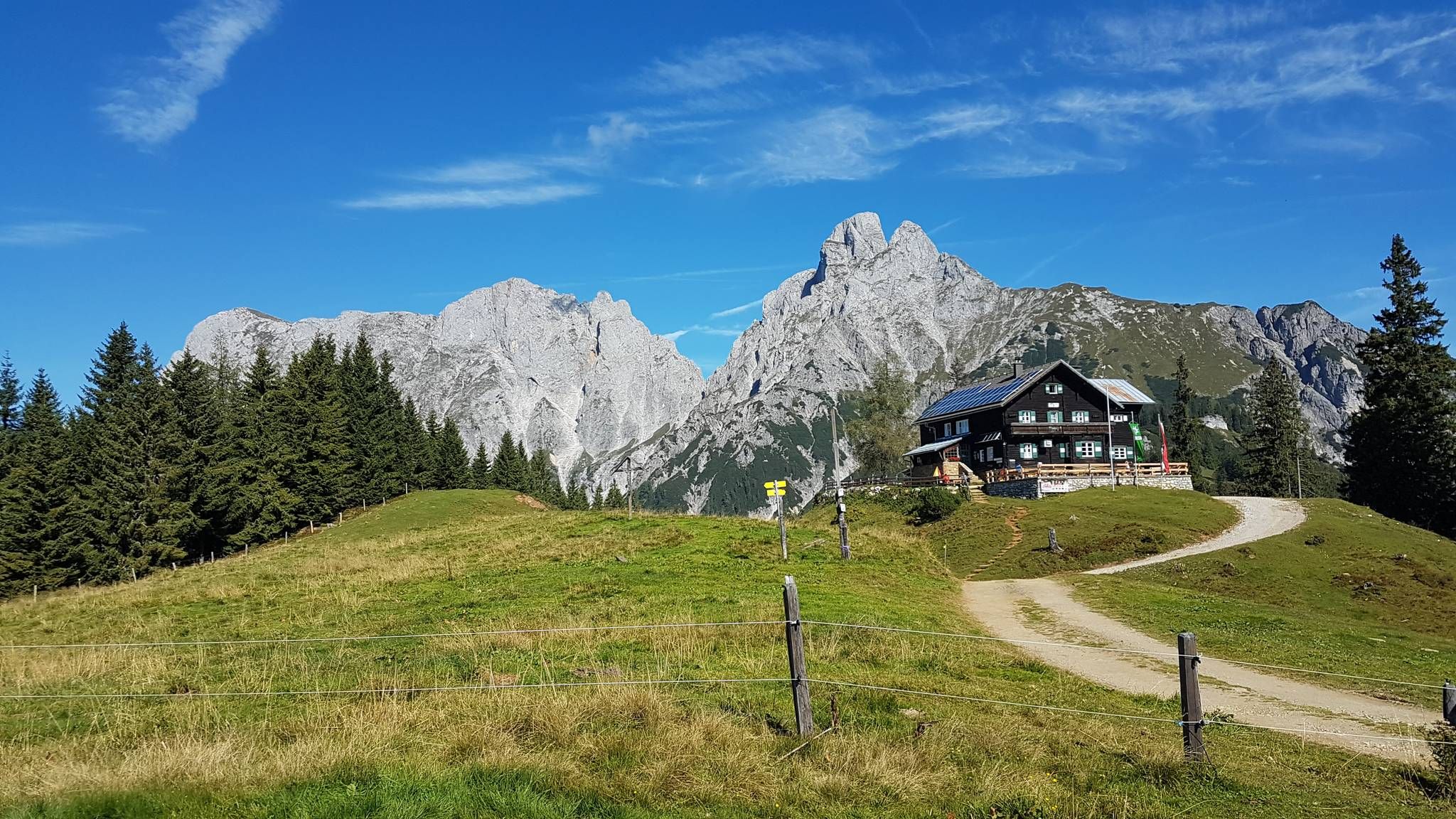
Gesäuse Hut Tour — Exploring the stunning Styria National Park
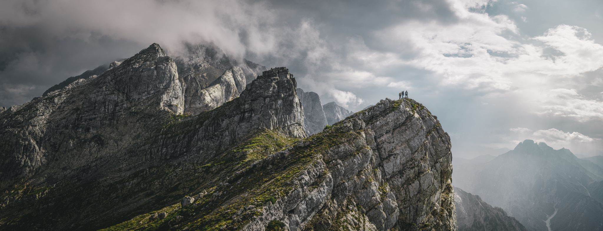
Discover the Gesäuse National Park in Austria
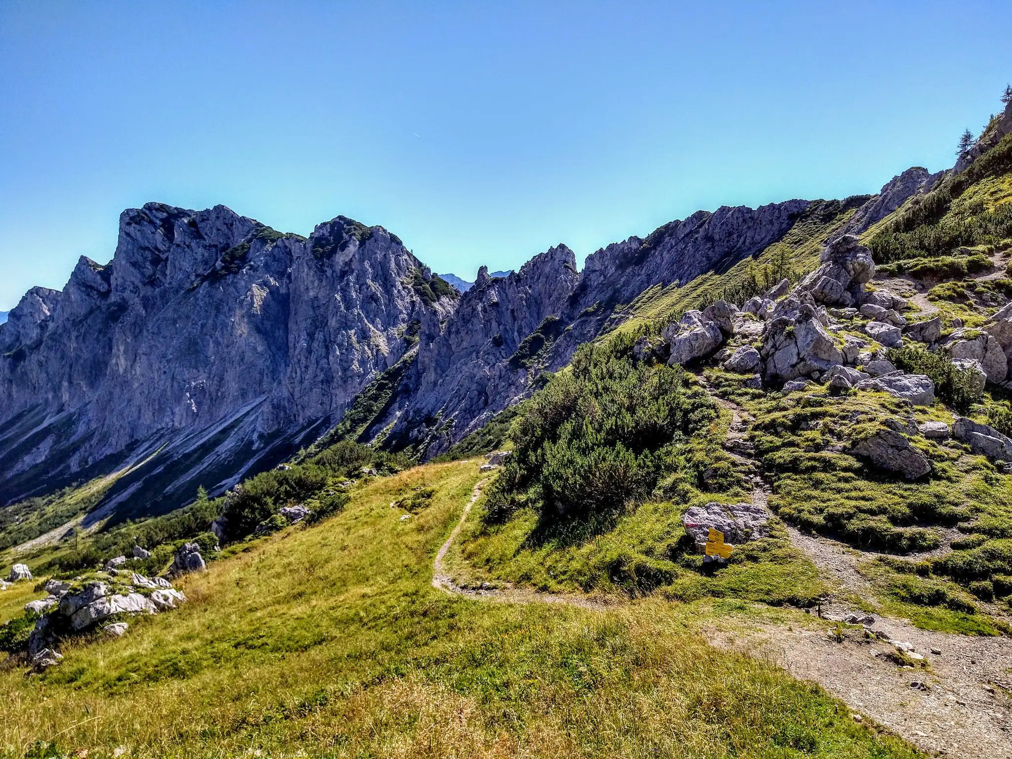
On the cusp of the wilderness – Lynx Trail

Discover Styria in Austria on foot – ‘From Glacier to Wine’ North Route
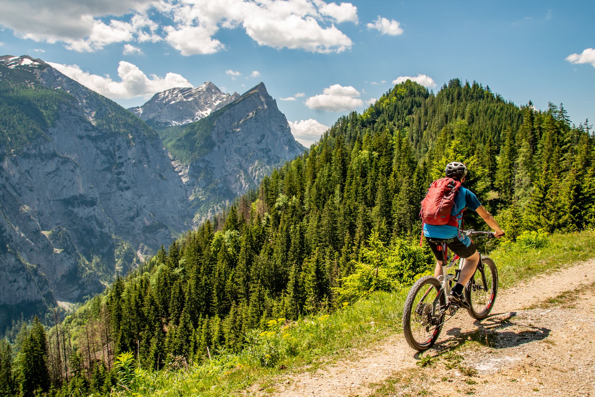
Zwischen hohen Gipfeln – Mountainbiken im Nationalpark Gesäuse
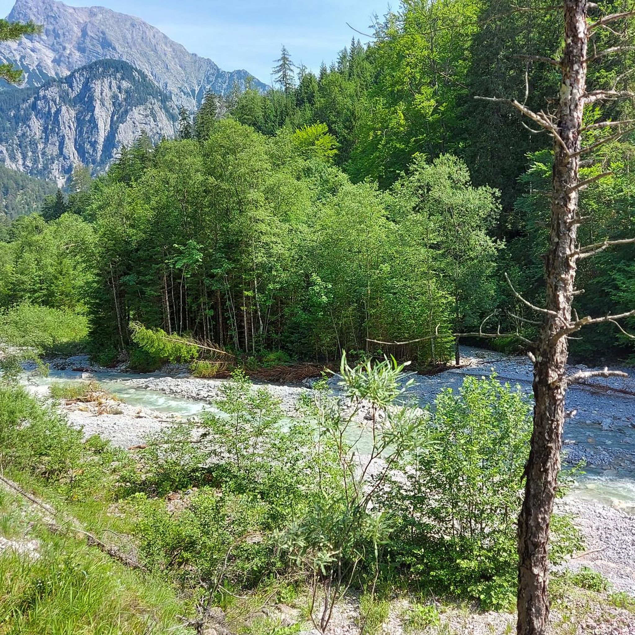
Hiking in Gesäuse National Park
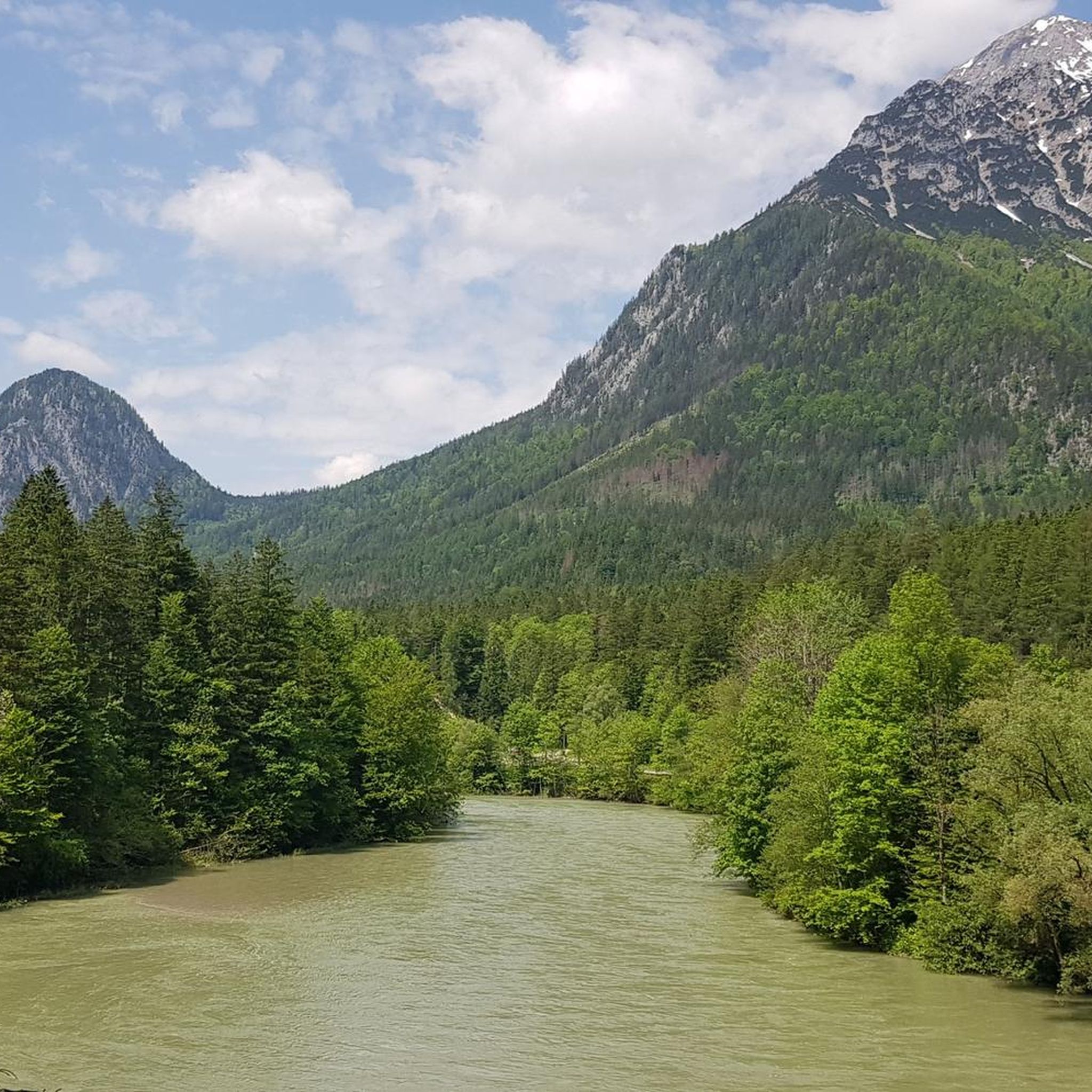
Cycling in Gesäuse National Park
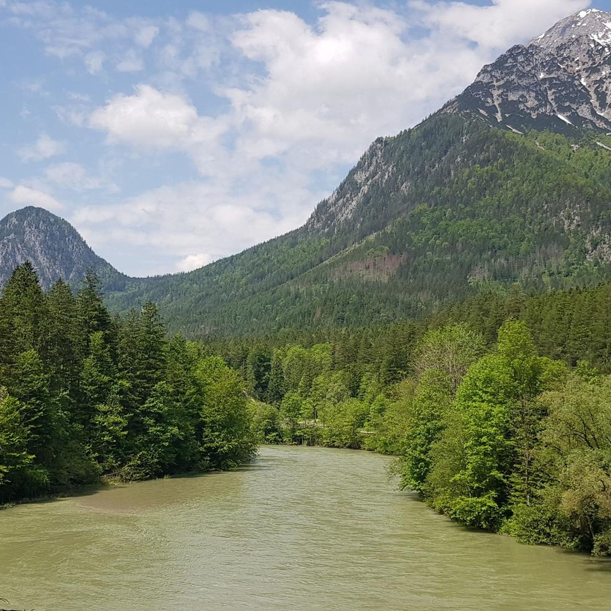
MTB Trails in Gesäuse National Park


Tips from the Community

As of 2026: The parking lot at Buchauer Sattel costs (day ticket) €7. There is a parking machine. This only accepts coins or card payment is also possible.
0
0

Impressive church, which convinced us during our visit with magnificent, wonderfully crafted and monumental wood carvings (instead of the usual pomp).
0
0

The Roman Catholic collegiate and parish church of Admont Abbey, belonging to the Benedictine monastery of Admont in Admont, Upper Styria, was rebuilt in the Neo-Gothic style between 1865 and 1869 after the great fire, incorporating Romanesque and Gothic architectural elements. The minster is one of the first Neo-Gothic sacred buildings in Austria. The two towers, 73 and 74 meters high, are the landmark of the Styrian Enns Valley. The church, historically also known as Blasiusmünster, is dedicated to St. Blaise.
0
0

Only accessible on foot or by bike.
0
0

Starting point for hikes to the Grabneralm, the Admonter Haus, the Grabnerstein, and the Admonter Warte. Parking is subject to a fee, currently €7 for a day ticket. Public restrooms and self-service refreshments are available.
1
0
The Lauferbauer Bridge is a listed historical monument, a road crossing over the Enns River in the Gesäuse region, connecting the village of Weng im Gesäuse with the municipality of Admont. Only a few Enns bridges built using traditional methods remain. The force of the river takes its toll on the bridge piers and the driven piles. In 2003, the authorities decided to rebuild the dilapidated but historically protected bridge using the old timber construction method, without steel girders or concrete piers. This required 400 cubic meters of durable fir and larch wood. The longitudinal girders, in particular, presented a challenge due to their dimensions: enormous fir trees were painstakingly brought down from the highlands to the valley. This ancient timber construction technique is documented in the archives; such "Enns trees" were already being used for bridge construction 400 years ago. Visiting Austria's largest wooden bridge and enjoying the view of the Gesäuse National Park from the bridge is well worth the trip. However, just 13 years later, in 2017, the bridge had to be rebuilt once again. The reason: instead of robust larch wood, the less suitable fir wood was used. The municipality of Admont was left to bear the costs of the reconstruction. Both the planning office commissioned for the bridge construction and the construction company have since gone bankrupt. The financial damage was estimated at €450,000, but this figure has now been reduced. Fortunately, after the demolition of the Lauferbauer Bridge, it turned out that the underlying girders were still fully functional. Reconstruction work began on May 8th with the installation of the new steel girders. The remaining wooden structure was scheduled to take another four weeks to complete. The renovated Lauferbauer Bridge was reopened to public traffic on June 12, 2017, with a weight restriction of up to twelve tons (Source: https://www.ennstalwiki.at/wiki/index.php/Lauferbauerbr%C3%BCcke
1
0
The view is magnificent.
2
0

The better way instead of through the tunnel
0
0
Frequently Asked Questions
What types of road cycling routes can I find in Gesäuse National Park?
Gesäuse National Park offers a diverse range of road cycling routes, from leisurely rides along the Enns River to more challenging circuits through mountainous terrain. You'll find paths that traverse dramatic limestone peaks, deep gorges, dense forests, and alpine meadows, catering to various fitness levels. The region is known for its stunning alpine landscapes and the powerful Enns River.
How many road cycling routes are available in Gesäuse National Park?
There are over 30 road cycling routes available in Gesäuse National Park, with 20 classified as moderate and 12 as difficult. This variety ensures options for both casual riders and those seeking a significant challenge.
Are there any family-friendly road cycling routes in Gesäuse National Park?
While many routes involve significant elevation, some sections, particularly those along the Enns River like parts of the Weidendom Visitor Center loop, offer gentler terrain suitable for families. The Ennsradweg, which follows the river, is generally flatter and more accessible for various skill levels, including families.
What is the best time of year for road cycling in Gesäuse National Park?
The best time for road cycling in Gesäuse National Park is typically from spring to autumn. During spring and summer, alpine meadows bloom with wildflowers, and the weather is generally favorable. Autumn offers cooler temperatures and stunning fall foliage, making for picturesque rides. Always check local weather forecasts before heading out, as mountain weather can change rapidly.
What are some notable natural attractions or landmarks I might see while cycling?
Road cycling routes in Gesäuse National Park often provide views of the dramatic limestone peaks, including the Hochtor massif. You'll also encounter the powerful Enns River, which carves deep gorges through the landscape. Specific highlights include the Gesäuse itself, the Enns River, and various summits like Tamischbachturm Summit and Lugauer Peak. The park's diverse forests and alpine meadows also offer beautiful scenery.
Are there any circular road cycling routes in the park?
Yes, many road cycling routes in Gesäuse National Park are designed as loops, allowing you to start and end in the same location. Examples include the At the Gaflenzbach – Hollenstein an der Ybbs loop and the Weidendom Visitor Center loop. These circular routes are convenient for exploring different parts of the park without needing return transport.
What is the general difficulty level of road cycling routes in Gesäuse National Park?
The routes vary significantly in difficulty. You can find moderate paths, such as the Leopoldsteiner See loop from Radmer, which covers about 40 km with moderate elevation. For more challenging rides, routes like the Buchauer Sattel loop from Radmer offer over 80 km with substantial elevation gain, requiring very good fitness.
Where can I find parking for road cycling routes in Gesäuse National Park?
Parking is generally available at various starting points and visitor centers throughout the park. Specific trailheads, towns, and attractions often provide designated parking areas. It's advisable to check the starting point of your chosen route for the nearest parking options.
Are there places to eat or stay near the road cycling routes?
Yes, the region offers various amenities. Towns and villages within and around Gesäuse National Park provide cafes, restaurants, and accommodation options. Additionally, you might find alpine huts along some routes, such as the Ennstaler Hut or Buchstein Hut, offering refreshments and sometimes overnight stays. For more details on huts, you can explore the Huts and Cabins in Gesäuse National Park guide.
What do other road cyclists say about their experience in Gesäuse National Park?
The road cycling routes in Gesäuse National Park are highly rated by the komoot community, with an average score of 4.6 stars from over 50 reviews. Cyclists often praise the dramatic scenery, the variety of terrain, and the well-maintained paths that offer both challenging climbs and scenic river valley rides.
Are there any specific regulations for cycling within Gesäuse National Park?
As a National Park, Gesäuse has regulations in place to protect its natural environment. Cyclists are generally expected to stay on designated routes and respect wildlife. For detailed information on specific regulations, permits, or any restrictions, it's best to consult the official National Park website: nationalpark-gesaeuse.at.
Can I reach Gesäuse National Park by public transport for road cycling?
Gesäuse National Park is accessible by public transport, which can be a convenient option for reaching various starting points for your road cycling adventures. The region has train and bus connections, though specific routes and schedules should be checked in advance to plan your journey effectively.
Most popular routes in Gesäuse National Park
Most popular attractions in Gesäuse National Park

Get inspired with the komoot mobile app


Explore more
Browse the best Road cycling routes in other regions.
