The best mountain hikes in Pilancones
5.0
(27)
147
hikers
12
hikes
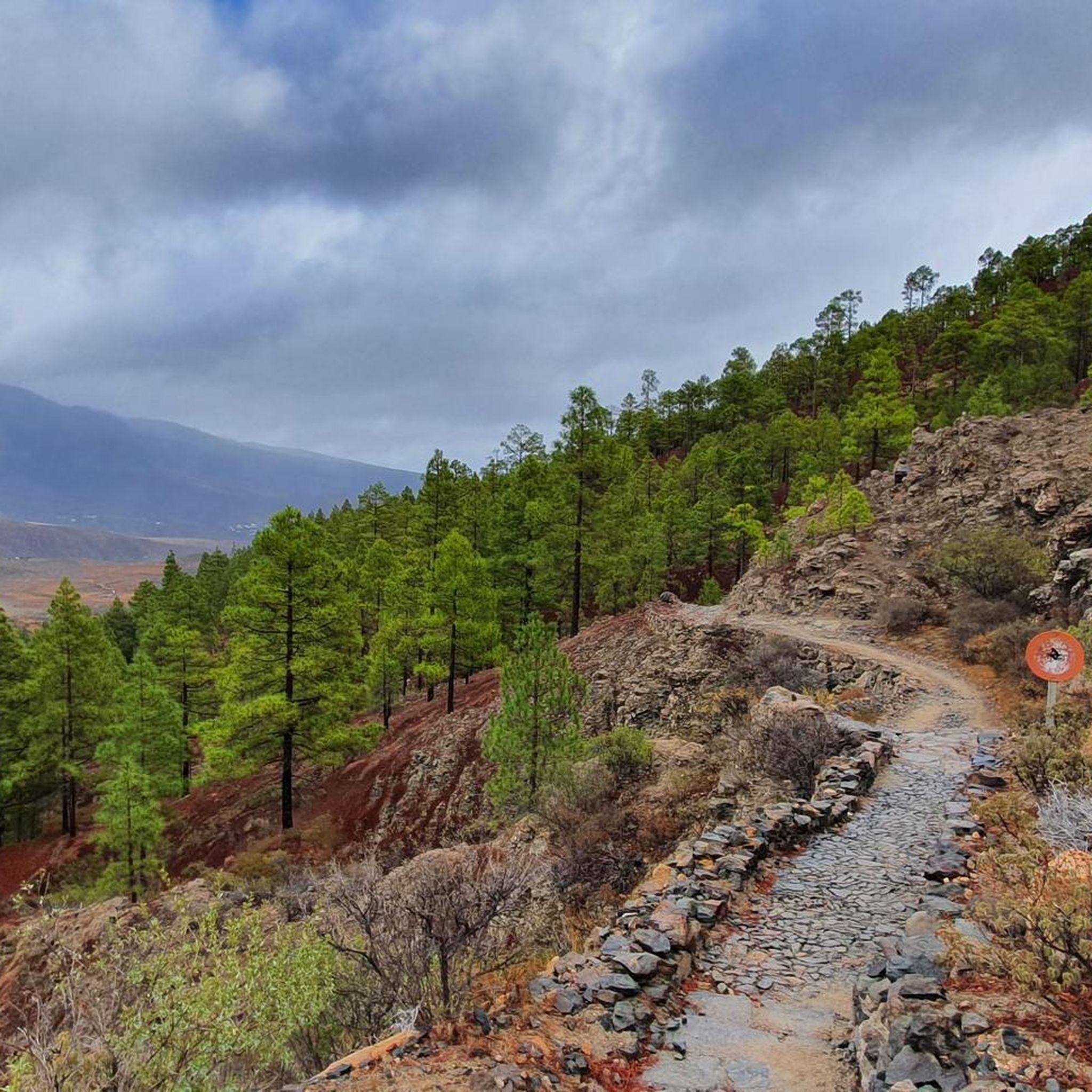
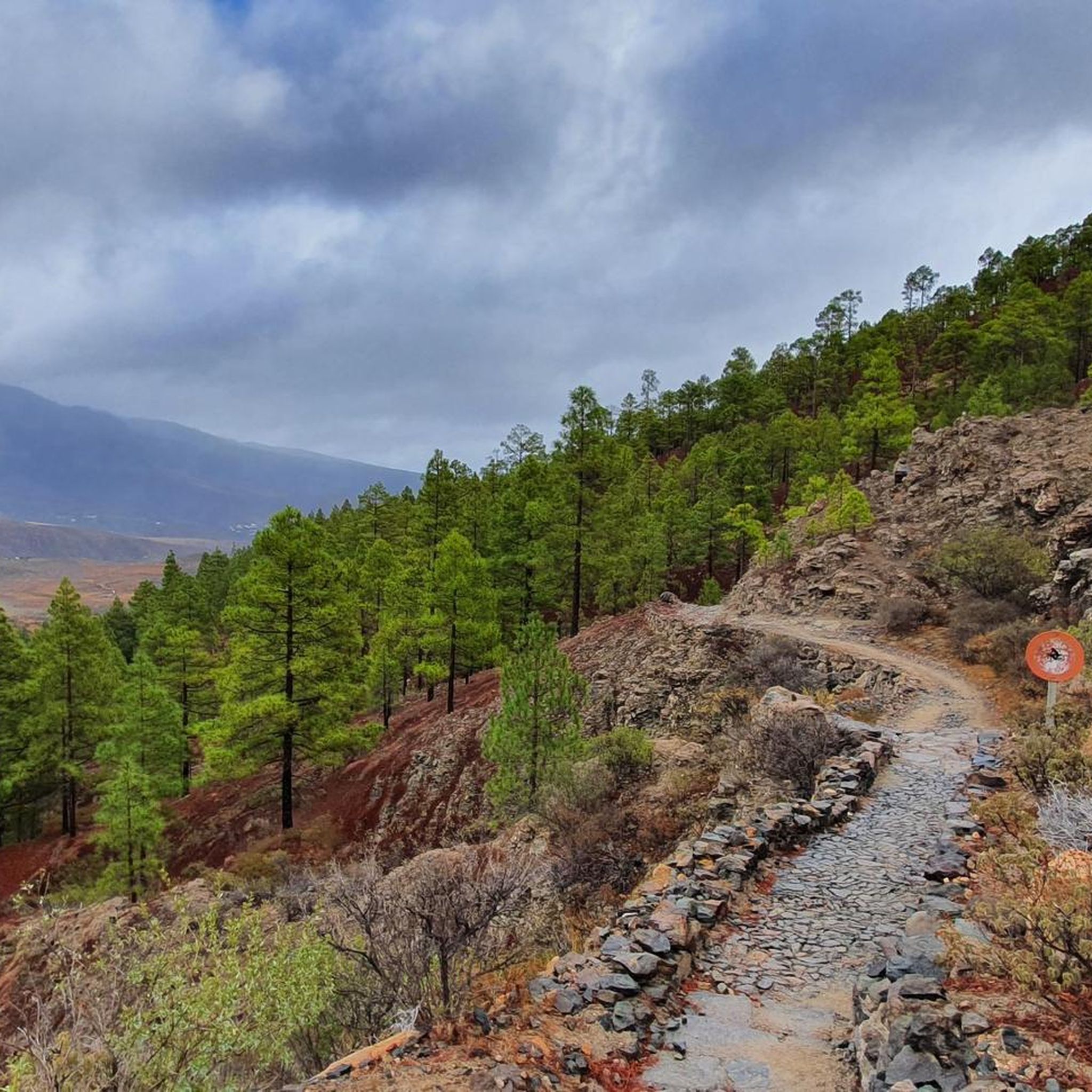
Mountaineering in Pilancones Natural Park offers routes through a dramatic volcanic landscape, characterized by deep, sloping ravines and narrow interfluves. The park's terrain includes protected pine forests in its upper regions and significant elevation changes, with peaks reaching over 1,500 meters. This geological history has created a rugged and varied environment suitable for challenging mountain adventures.
Best mountaineering routes in Pilancones
- The most popular mountaineering route is Bakery Pastry Shop Café – Ascent to the Pass loop from San Bartolomé de Tirajana, a 9.0 miles (14.4 km) trail that takes 4 hours 25 minutes to complete. This moderate route offers varied terrain through the park's interior.
- Another top favourite among local mountaineers is View of Pico de las Nieves – View of Roque Nublo loop from Degollada de Cruz Grande, a difficult 8.9 miles (14.2 km) path. This route provides expansive views of iconic landmarks like Roque Nublo and Pico de las Nieves.
- Local mountaineers also love the View of Roque Nublo – Roque Nublo Cave loop from Gran Canaria, a 5.0 miles (8.1 km) trail leading through volcanic formations and offering views of Roque Nublo, often completed in about 3 hours.
- Mountaineering in Pilancones is defined by dramatic volcanic terrain, deep ravines, and extensive pine forests. The network offers options for various ability levels, from moderate paths to challenging routes requiring alpine experience.
- The routes in Pilancones are highly rated by the komoot community with an average score of 5.0 stars from over 20 reviews. More than 100 mountaineers have used komoot to explore Pilancones's varied terrain.
Last updated: May 20, 2026
5.0
(2)
10
hikers
Moderate mountaineering route. Good fitness required. Easily-accessible paths. Suitable for all skill levels.
5.0
(1)
9
hikers
Hard mountaineering route. Very good fitness required. Mostly accessible paths. Sure-footedness required.

Sign up for free
5.0
(7)
22
hikers
8.09km
03:00
430m
430m
Moderate mountaineering route. Good fitness required. Mostly accessible paths. Sure-footedness required.
5.0
(3)
14
hikers
7.02km
02:39
410m
410m
Hard mountaineering route. Good fitness required. Sure-footedness, sturdy shoes and alpine experience required.
5
hikers
13.2km
05:05
780m
780m
Hard mountaineering route. Very good fitness required. Sure-footedness, sturdy shoes and alpine experience required.
Get access to more routes and recommendations from other explorers.
Sign up for free
Already have an account?
Our route recommendations are based on thousands of hikes, rides, and runs completed by other people on komoot.
Start today with a free account
Your next adventure awaits.
Login or Signup

Tips from the Community


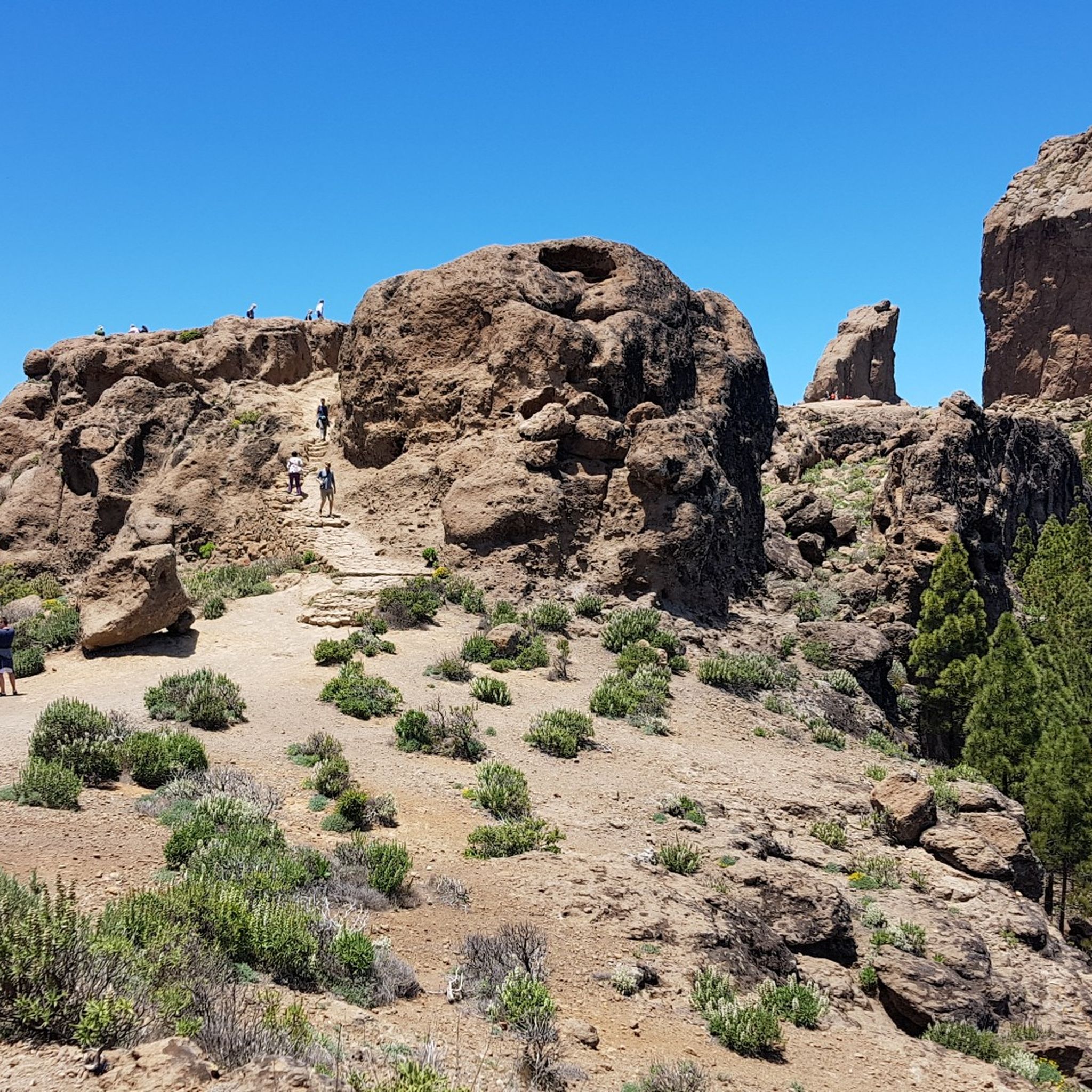
Ascent to the Roque Nublo Plateau Roque Nublo is one of Gran Canaria's most significant natural monuments. A giant that rises to an altitude of approximately 1,800 meters in the center of the island, within a natural landscape protected by a biosphere reserve. This impressive rock monolith—a symbol of Gran Canaria—rises 80 meters from the plateau and offers a uniquely expansive panoramic view; only a few mountains on the island can match it. On clear days, the neighboring volcano, the famous Teide, is clearly visible.
0
0

Don’t go without online reservation!!! Without you cannot enter.
0
0

The images don't just show Roque Nublo; for example, the image with the helicopter in the center depicts Bentayga. This rock formation has a completely different, important significance in the heart of Gran Canaria! However, the helicopter adds immense value to the image and also shows the vastness of the scene.
0
0
The road was blocked.
0
1

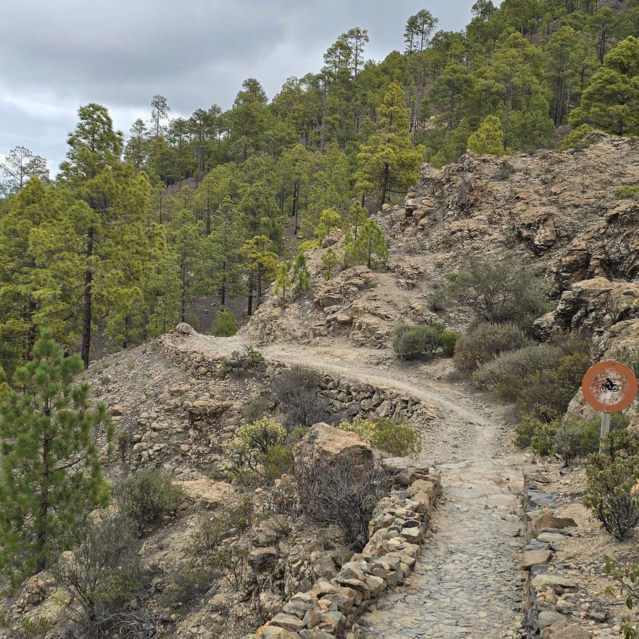
Unfortunately, you're not allowed to take a bike on the trail to Roque Nublo. But the view is great.
0
0

Impressive place. Must do in Gran Canaria. Beautiful view of the Tenerife volcano looming above the clouds. No need to book entrance if you come via the surrounding hiking trails and not via the more touristy 1.5 km to the rock.
0
0

The climb is definitely worth it - very few people make it here
0
0
Frequently Asked Questions
What is the overall difficulty level of mountaineering routes in Pilancones?
Pilancones offers a range of mountaineering routes, from moderate paths suitable for those with some experience, to difficult trails that demand excellent fitness, sure-footedness, and even alpine experience. The park's dramatic volcanic terrain and significant elevation changes contribute to the challenging nature of many routes.
How many mountaineering routes are available in Pilancones?
There are over 10 mountaineering routes available in Pilancones, catering to various skill levels. These routes are highly rated by the komoot community, with an average score of 5.0 stars.
Are there any circular mountaineering routes in Pilancones?
Yes, many mountaineering routes in Pilancones are circular. For example, you can explore the Bakery Pastry Shop Café – Ascent to the Pass loop from San Bartolomé de Tirajana or the View of Pico de las Nieves – View of Roque Nublo loop from Degollada de Cruz Grande, both offering stunning scenery on a loop.
What kind of landscapes and natural features can I expect to see while mountaineering in Pilancones?
Pilancones is characterized by a dramatic volcanic landscape with deep, brown sloping ravines and narrow interfluves, often compared to the Grand Canyon. You'll encounter protected pine forests in the upper regions, unique tabaibal-cardonal formations, dragon trees, and juniper. The park also features various water bodies like the Ayagaures and Soria dams.
Are there any routes that offer views of iconic landmarks like Roque Nublo or Pico de las Nieves?
Absolutely. Several routes provide expansive views of these iconic landmarks. The View of Pico de las Nieves – View of Roque Nublo loop from Degollada de Cruz Grande is a difficult path specifically known for its panoramic vistas of Roque Nublo and Pico de las Nieves. Another option is the View of Roque Nublo – Roque Nublo Cave loop from Gran Canaria.
Can I find routes that pass by water features like dams or waterfalls?
Yes, Pilancones features several water bodies. The park is home to dams and reservoirs like Ayagaures and Soria. You can find routes that pass near the Ayagaures Dam or the Presa de La Gambuesa. There's also a Small Reservoir with Waterfall that can be explored.
What is the best time of year to go mountaineering in Pilancones?
Pilancones offers mountaineering opportunities year-round, but the best time often depends on personal preference. The park's diverse climate means that while upper regions have pine forests, lower areas are drier. Consider checking local weather conditions, especially for higher elevations, before your trip.
What other attractions or points of interest can I explore near the mountaineering routes?
Beyond the trails, Pilancones offers several points of interest. You can visit the Degollada de la Cruz Grande Viewpoint for stunning vistas, or see the ancient Pino de Pilancones. The area also has historical significance with pre-Hispanic ruins, such as the necropolis of Arteara, and offers opportunities for birdwatching.
Is public transport available to access mountaineering routes in Pilancones?
While Pilancones is a natural park, public transport options to directly access all trailheads can be limited. It's advisable to research specific bus routes to nearby towns like San Bartolomé de Tirajana and plan your journey accordingly, as some trailheads might require a short taxi ride or car access.
Are there specific parking areas for mountaineering trailheads?
Yes, for many popular mountaineering routes in Pilancones, you will find designated parking areas near the trailheads. It's recommended to check the specific route details on komoot for information on parking availability at the starting point of your chosen tour.
Do I need any permits for mountaineering in Pilancones Natural Park?
Generally, permits are not required for hiking and mountaineering on established trails within Pilancones Natural Park for day visits. However, for specific activities, large groups, or overnight stays, it's always best to check with the local park authorities for any updated regulations.
What do other mountaineers say about their experience in Pilancones?
The mountaineering routes in Pilancones are highly rated by the komoot community, with an average score of 5.0 stars from over 20 reviews. Mountaineers often praise the dramatic volcanic landscapes, the challenging yet rewarding ascents, and the expansive panoramic views, especially of landmarks like Roque Nublo.
Are there family-friendly mountaineering routes in Pilancones?
While many routes in Pilancones are rated moderate to difficult, there are sections and shorter paths that might be suitable for families with older children who are accustomed to hiking. For younger children, it's best to look for routes explicitly labeled as easy or very easy, which may be found in other areas of Gran Canaria, as Pilancones is primarily known for its more challenging terrain.
Most popular routes in Pilancones
Most popular attractions in Pilancones

Get inspired with the komoot mobile app


Explore more
Browse the best Mountain Hikes & Routes in other regions.
