The best road cycling routes around Pillichsdorf
4.4
(82)
1,987
riders
195
rides
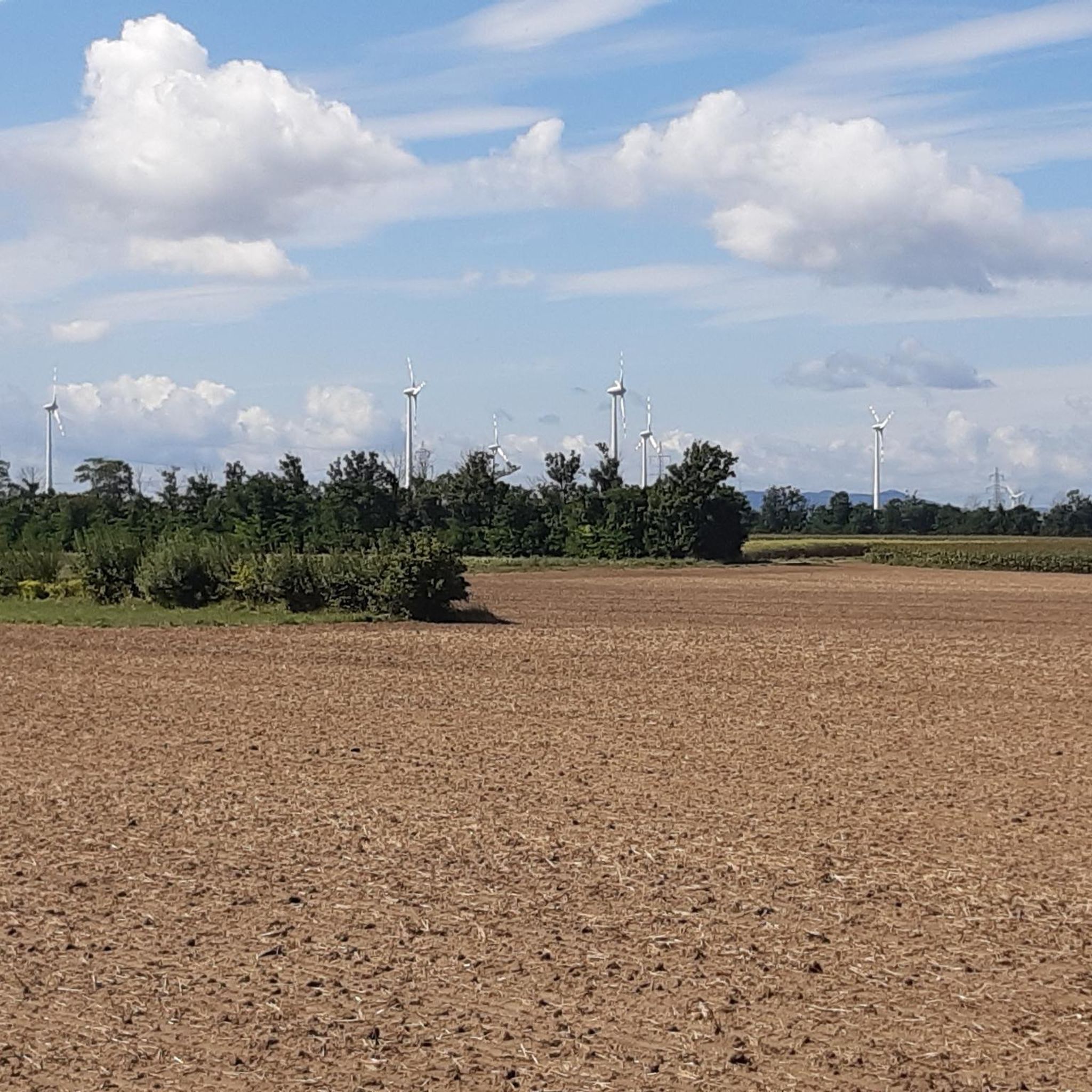
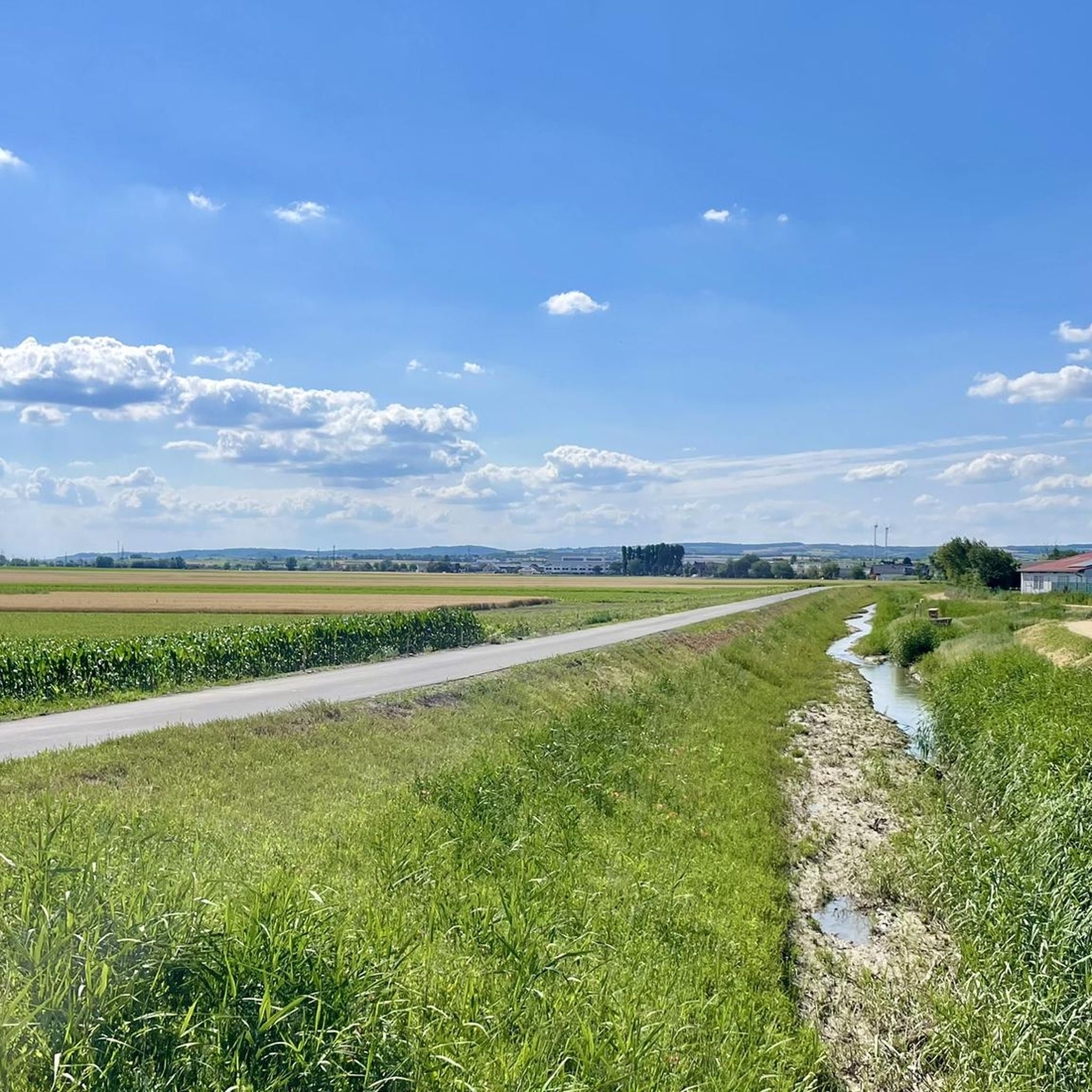
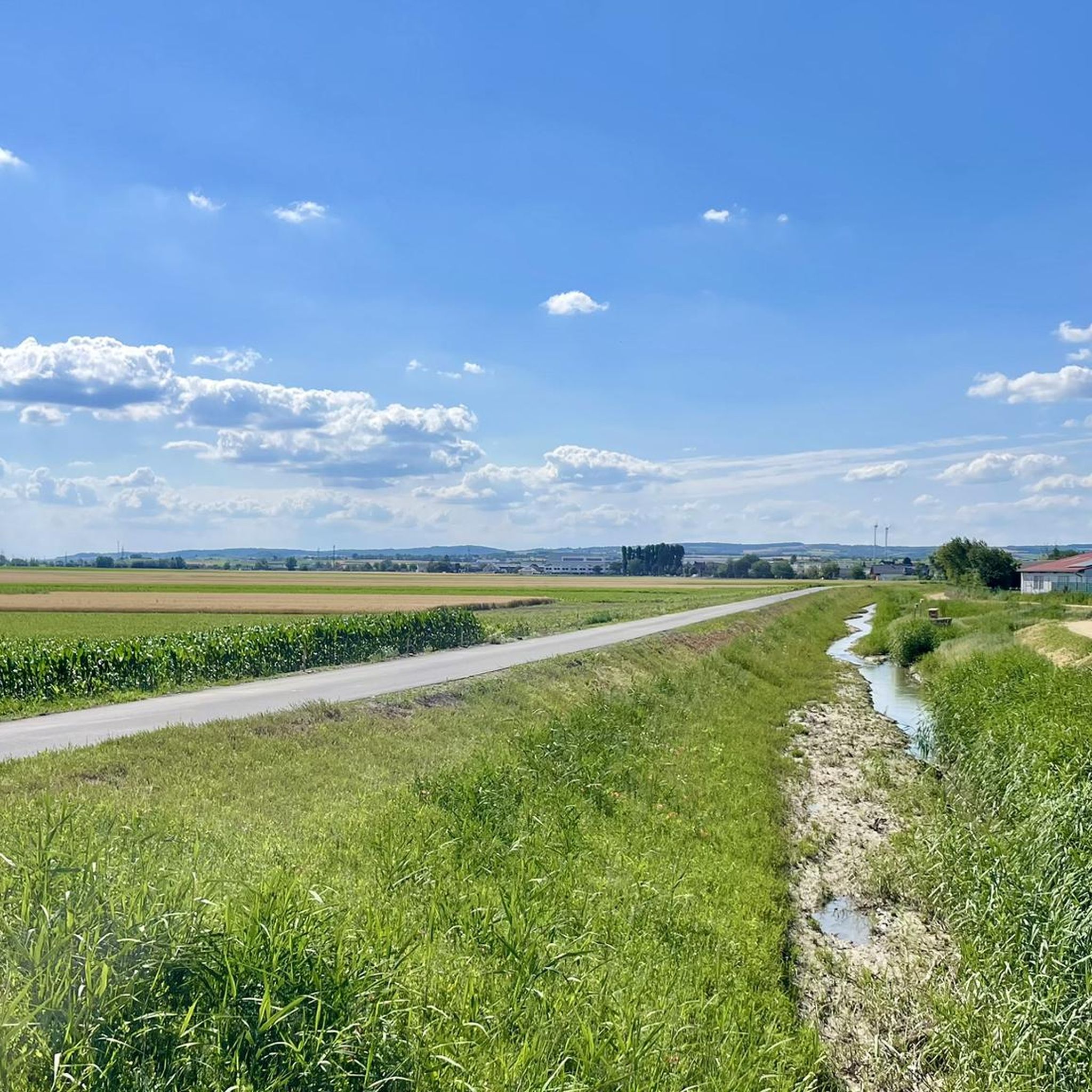
Road cycling around Pillichsdorf offers routes through the gently rolling plains and vineyards of the Weinviertel region, north of Vienna. The area is characterized by open agricultural landscapes, small villages, and proximity to the Danube River. Road cyclists can expect mostly flat to undulating terrain, with some routes featuring minor elevation changes. The network provides access to scenic cycle paths and quiet country roads.
Best road cycling routes around Pillichsdorf
- The most popular road cycling route is Danube Cycle Path…
Last updated: July 2, 2026
4.0
(1)
27
riders
Moderate road ride. Good fitness required. Some segments of this route may be unpaved and difficult to ride.
31
riders
84.6km
04:23
650m
650m
Moderate road ride. Good fitness required. Some segments of this route may be unpaved and difficult to ride.

Sign up for free
4.0
(1)
18
riders
45.5km
01:57
300m
300m
Moderate road ride. Good fitness required. Mostly well-paved surfaces and easy to ride.
5.0
(1)
15
riders
58.5km
02:29
340m
340m
Moderate road ride. Good fitness required. Mostly well-paved surfaces and easy to ride.
11
riders
100km
04:37
1,150m
1,150m
Hard road ride. Very good fitness required. Mostly well-paved surfaces and easy to ride.
Get access to more routes and recommendations from other explorers.
Sign up for free
Already have an account?
Our route recommendations are based on thousands of hikes, rides, and runs completed by other people on komoot.
Start today with a free account
Your next adventure awaits.
Login or Signup
Tips from the Community

The almost standing body of water offers great photo opportunities with reflections.
0
0

The Danube Cycle Path near Orth an der Donau is one of the most scenic sections of the entire route, as it leads right through the heart of the Donau-Auen National Park. Unlike the built-up sections of large cities, here you cycle through one of Central Europe's last great untouched floodplain landscapes. The path often runs along the flood protection dike, from which you have wide views over the reed belts and oxbow lakes of the Danube.
0
0

Cycle path with a long downhill section of approx. 1 km away from traffic
0
0

The Korneuburg–Klosterneuburg roll-on/roll-off ferry is a unique Danube bridge between the Tulln Danube Bridge and the Vienna North Bridge. It connects the two Lower Austrian towns of Korneuburg on the left bank and Klosterneuburg on the right bank of the Danube. The ferry is a reaction ferry. This means it uses the current of the Danube for propulsion. This makes it a particularly environmentally friendly and interesting way to cross the river. The ferry is located at river kilometer 1941. Currently, service ends at 8:00 p.m. The last crossing from Korneuburg to Klosterneuburg is at 7:50 p.m. Thus, the Korneuburg–Klosterneuburg roll-on/roll-off ferry is, like any other ferry, the ONLY way to cross the Danube between the Tulln Danube Bridge and the Vienna North Bridge. 🤯 It's a total game-changer, connecting the dope cities of Korneuburg on the left bank and Klosterneuburg on the right bank of the Danube. Thi
3
0

Danube Island North Tip - always good for a trip
2
0

Since the bypass opened, the road here has been relatively quiet. It's a shame, though, for those residents whose homes had to be demolished...
0
0


Frequently Asked Questions
How many road cycling routes are available around Pillichsdorf?
There are over 190 road cycling routes around Pillichsdorf, offering a wide range of options for different skill levels and preferences. The komoot community has explored these routes extensively, with over 1900 road cyclists using komoot to discover the area.
Are there easy road cycling routes suitable for beginners in Pillichsdorf?
Yes, Pillichsdorf offers a good selection of easy road cycling routes. There are 37 routes specifically graded as easy, perfect for beginners or those looking for a relaxed ride through the Weinviertel's gentle landscapes. An example is the Bockfließ Station – Schönkirchner Gate Columns loop from Seyring, which is 28.8 miles (46.4 km) and generally takes about 1 hour 50 minutes.
What kind of terrain can I expect on road cycling routes in Pillichsdorf?
Road cycling around Pillichsdorf is characterized by mostly flat to undulating terrain. You'll find routes through the gently rolling plains and vineyards of the Weinviertel region, open agricultural landscapes, and paths adjacent to the Danube River. While generally not mountainous, some routes do feature minor elevation changes, such as the Wolkersdorf Castle – On the cycle path loop from Seyring, which has over 600 meters of elevation gain.
Are there long-distance road cycling routes near Pillichsdorf?
Yes, for those seeking longer rides, Pillichsdorf serves as an excellent starting point for extended tours. The Danube Cycle Path newly paved – View of Donau City skyline loop from Obersdorf is a popular choice, covering 62.7 miles (100.9 km) and offering scenic views along the Danube.
What are some scenic highlights or viewpoints along the road cycling routes?
The routes often pass through picturesque vineyards and open agricultural landscapes. Many paths offer views of the Danube River, and some even provide glimpses of the Donau City skyline. You can also explore historical landmarks like Wolkersdorf Castle or the Marchfeld Canal, which are frequently incorporated into tours.
Are there any castles or historical sites to see while road cycling?
Absolutely! The region around Pillichsdorf is dotted with historical sites. You can cycle past impressive structures like Wolkersdorf Castle, Bockfließ Castle, or Raggendorf Castle. The Matzen Castle (Lower Austria) – Wolkersdorf Castle loop from Obersdorf is a great route for exploring some of these historical gems.
When is the best time of year for road biking in Pillichsdorf?
The best time for road biking in Pillichsdorf is generally from spring through autumn (April to October). During these months, the weather is typically mild and pleasant, ideal for enjoying the vineyards and open landscapes. Summer offers warm conditions, while spring and autumn provide beautiful scenery with blooming fields or colorful foliage.
Are there circular road cycling routes available?
Yes, many of the road cycling routes around Pillichsdorf are designed as circular loops, allowing you to start and end your ride at the same point. This is convenient for those driving to the area. For example, the Northern tip of the Danube Island – On the cycle path loop from Obersdorf is a popular circular option.
What do other road cyclists enjoy most about road cycling in Pillichsdorf?
The komoot community highly rates road cycling in Pillichsdorf, with an average score of 4.4 stars from over 70 reviews. Reviewers often praise the region's gently rolling plains, the well-maintained cycle paths, and the opportunity to explore charming villages and vineyards. The proximity to the Danube River and historical castles also adds to the appeal.
Are there challenging road bike routes for advanced cyclists?
While the region is known for its gentle terrain, there are routes that offer more challenge. Out of the 198 available routes, 23 are graded as difficult, providing longer distances and more significant elevation changes for advanced cyclists looking to test their endurance. The Wolkersdorf Castle – On the cycle path loop from Seyring, for instance, features over 600 meters of ascent.
Can I find routes that pass by cafes or refreshment stops?
The routes often pass through small villages in the Weinviertel region, where you can typically find local cafes, bakeries, or traditional 'Heurigen' (wine taverns) for refreshments. While not explicitly listed for every route, planning your ride through these villages will provide opportunities for breaks and local culinary experiences.
Most popular routes around Pillichsdorf
Most popular attractions around Pillichsdorf

Get inspired with the komoot mobile app


Explore more
Browse the best Road cycling routes in other regions.
