The best running trails in Punta Entinas-Sabinar
4.1
(19)
3,493
runners
80
runs
Jogging in Punta Entinas-Sabinar offers routes through a protected natural area characterized by extensive sandy beaches and well-preserved dune systems. The terrain includes wetlands, salt pans, and Mediterranean scrubland, providing varied backdrops for running. Trails are generally flat and accessible, making them suitable for different fitness levels. This semi-arid Mediterranean ecosystem on the western coast of Almería provides a unique environment for outdoor activities.
Best jogging routes in Punta Entinas-Sabinar
- The most popular jogging route is Playa Serena Park –…
Last updated: May 23, 2026
5.0
(1)
194
runners
Moderate run. Good fitness required. Mostly paved surfaces. Suitable for all skill levels.
41
runners
9.65km
01:00
30m
30m
Moderate run. Good fitness required. Mostly paved surfaces. Suitable for all skill levels.

Sign up for free
32
runners
9.13km
00:58
40m
40m
Moderate run. Good fitness required. Mostly paved surfaces. Suitable for all skill levels.
30
runners
8.52km
00:52
10m
10m
Moderate run. Good fitness required. Mostly paved surfaces. Suitable for all skill levels.
24
runners
11.7km
01:15
10m
10m
Moderate run. Good fitness required. Mostly paved surfaces. Suitable for all skill levels.
Get access to more routes and recommendations from other explorers.
Sign up for free
Already have an account?
Our route recommendations are based on thousands of hikes, rides, and runs completed by other people on komoot.
Start today with a free account
Your next adventure awaits.
Login or Signup
Tips from the Community

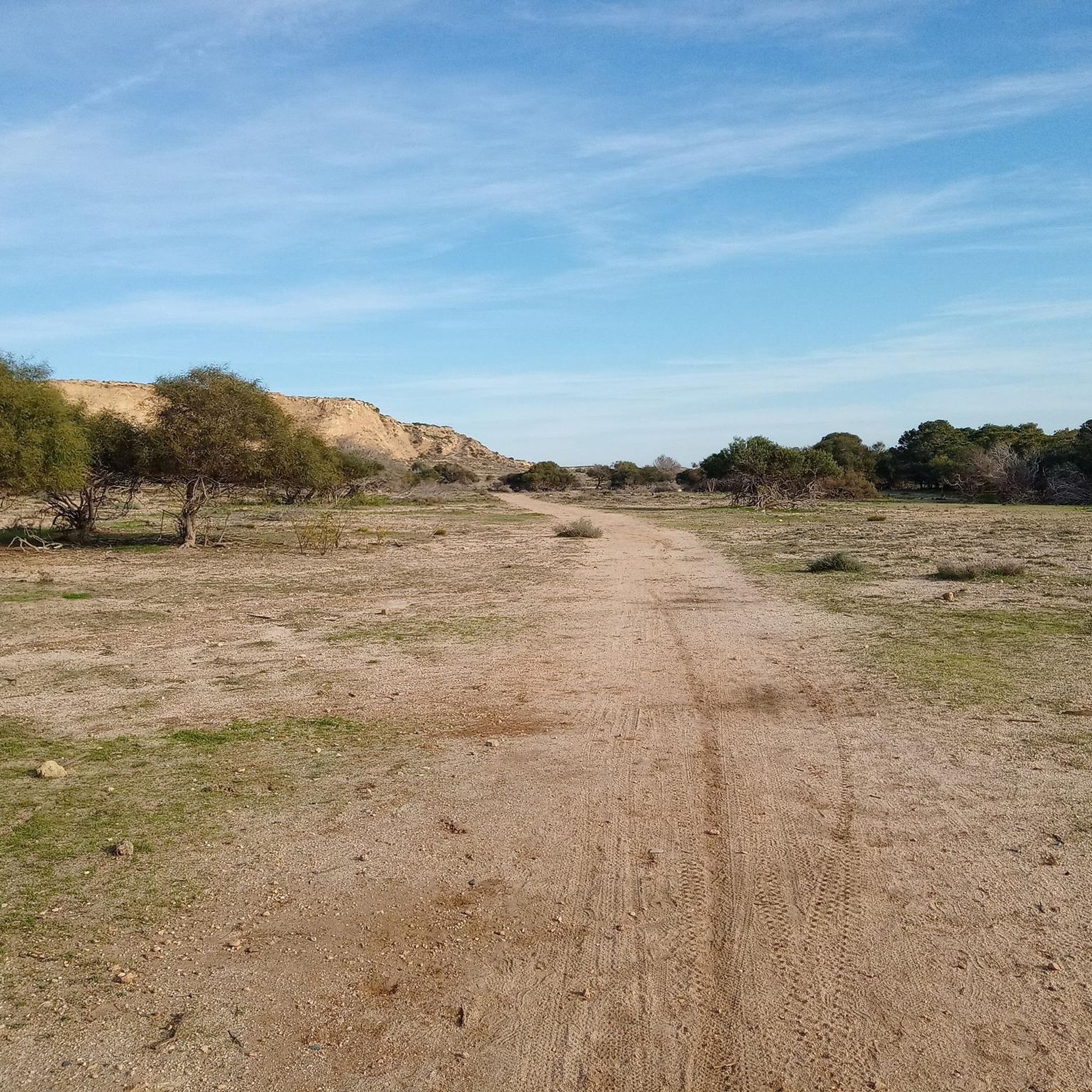
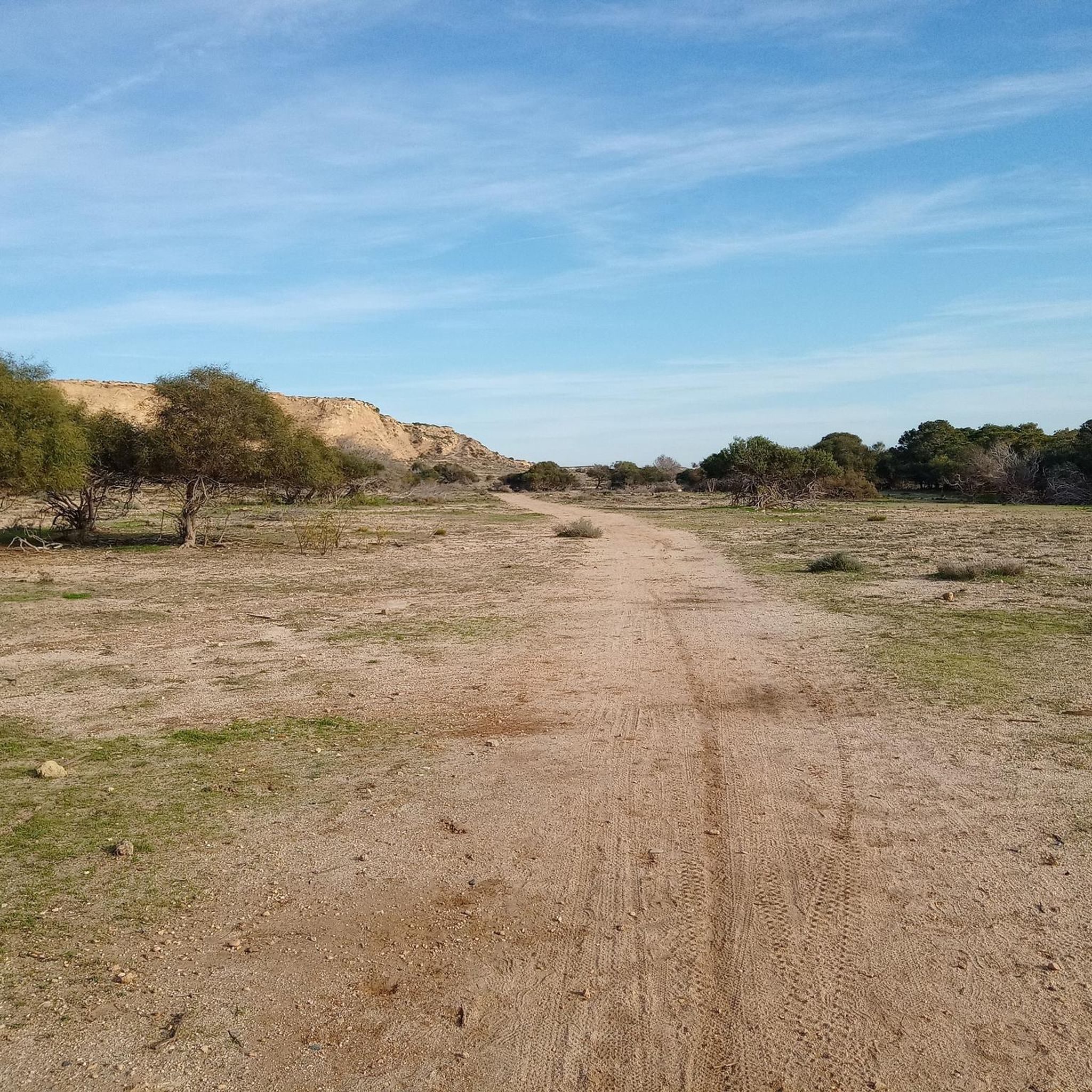
It's pretty much just an old stone pillar in the middle of nowhere. The landscape around is very beautiful.
0
0

One day, while walking around here, I found this baby bird that was injured. It didn't even know how to fly yet, but it was trying. I cared for it for a few days, and finally, in less than a week, it started to fly. In less than a week, it became very accustomed to me, and that started to worry me, so I returned to Punta Entinas, right where I saw it for the first time, and I released it. The bird still remembers me. Many times during my return to the area, it has come up to say hello. You could hear it coming from afar, screaming with joy. It's very funny. 🥹 I haven't heard from it in a while; in recent months, it has never appeared again. I've grown very attached to this place; it's a unique natural setting in our region. There are turtles, beetles, many bird species, carp in the water, flamingos... Please be careful in the area, try to respect it if you visit. I see more and more trash, and it stays there forever. Keep in mind that the cleaning services don't reach that far.
1
0

Beautiful hiking trail with a great view.
1
0

Pleasant, easy and flat excursion from the Bahía Serena hotel to the Cerrillos watchtower, which runs along the promenade and the Salobral natural park.
3
0

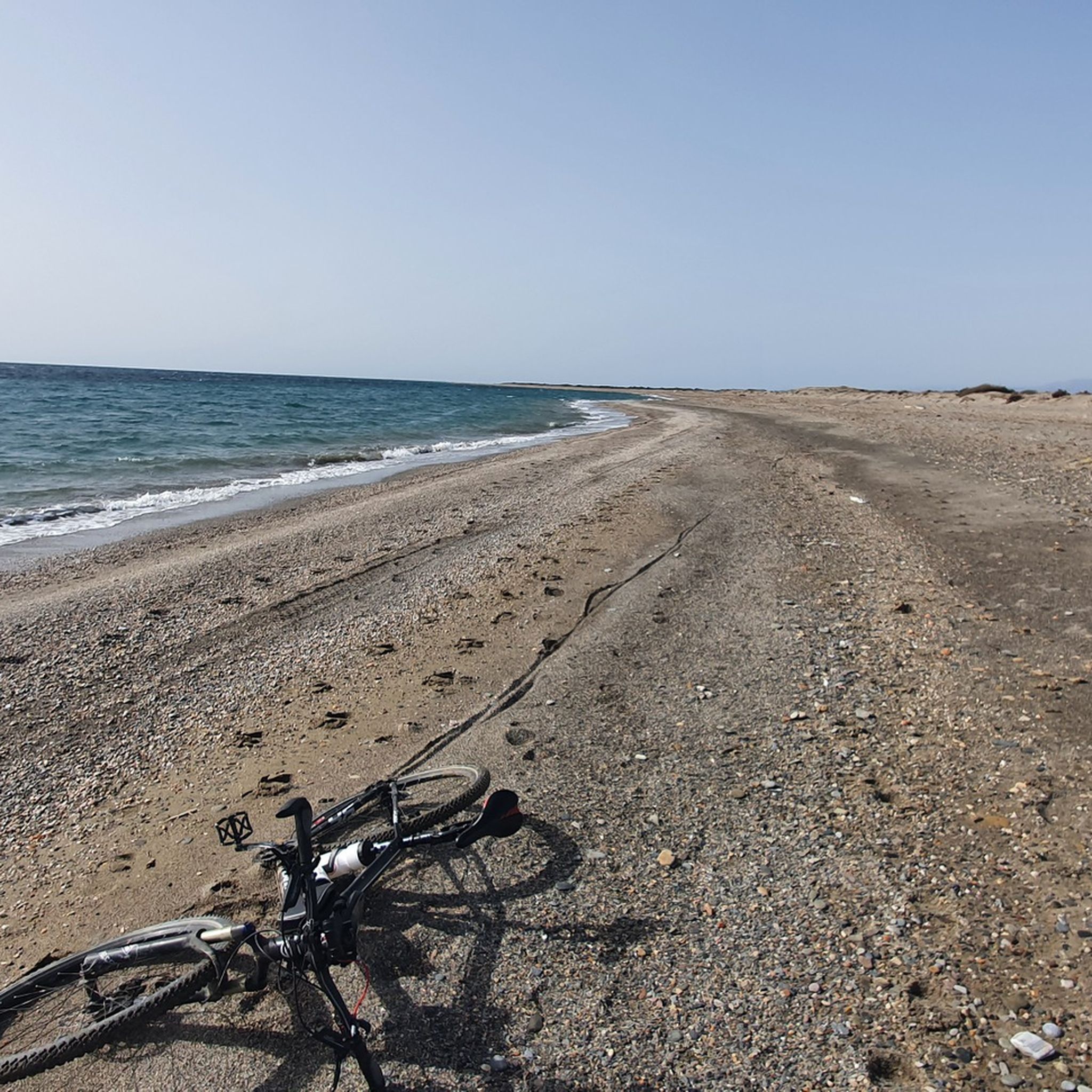
Pic 1 is Los Muertos in Carboneras not Playa Serena in Roquetas
0
0

Use mosquito repellent if you are going to enter the park, it is a dirt and mud path
0
0
Important to use insect repellent, dirt roads and mud
0
0
Frequently Asked Questions
What kind of terrain can I expect on the running routes in Punta Entinas-Sabinar?
Punta Entinas-Sabinar offers a diverse range of terrains for runners. You'll find extensive sandy beaches and well-preserved dune systems along the coast, providing serene routes with expansive sea views. Inland, the landscape transitions to wetlands, including freshwater and saline lakes, and Mediterranean scrubland featuring native flora like lentisc and Phoenician junipers. The trails are generally flat, making them accessible for various fitness levels, but the varied surfaces keep runs engaging.
Are there many running routes available in Punta Entinas-Sabinar?
Yes, Punta Entinas-Sabinar boasts a wide selection of running routes. There are over 80 routes available, catering to different preferences and fitness levels. These include options for easy, moderate, and difficult runs, ensuring there's something for everyone.
What are some of the natural features I might see while jogging in the area?
While jogging, you'll encounter a rich semi-arid Mediterranean ecosystem. Key natural features include 15 kilometers of secluded beaches, some of Europe's best-preserved sand dunes, and a network of freshwater and saline wetlands. The area is also a Special Protection Area for Birds, so you might spot diverse bird species like flamingos, various waders, and grey herons, especially around the wetlands.
What do other runners enjoy most about jogging in Punta Entinas-Sabinar?
The running routes in Punta Entinas-Sabinar are highly rated by the komoot community, with an average score of 4.0 stars from over 19 reviews. Runners often praise the unique natural beauty, the tranquility of the protected area, and the diverse terrain that offers both coastal views and wetland scenery. The opportunity for wildlife spotting, particularly birds, is also a frequently mentioned highlight.
Are there any family-friendly running routes in Punta Entinas-Sabinar?
Yes, many of the routes in Punta Entinas-Sabinar are suitable for families. The generally flat terrain and well-defined paths along the coastal strip and through the scrubland make for enjoyable outings. For an easy option, consider the 'Salinas de Cerrillos' route, which is approximately 4.6 km long and offers a pleasant experience for all ages.
Can I bring my dog on the running trails?
While the region is a natural park, specific regulations regarding dogs on trails can vary. It's generally advisable to keep dogs on a leash to protect the local wildlife, especially in a designated Special Protection Area for Birds. Always check local signage or official park guidelines before heading out with your pet to ensure a respectful and safe experience for everyone.
Are there any historical landmarks or points of interest along the running routes?
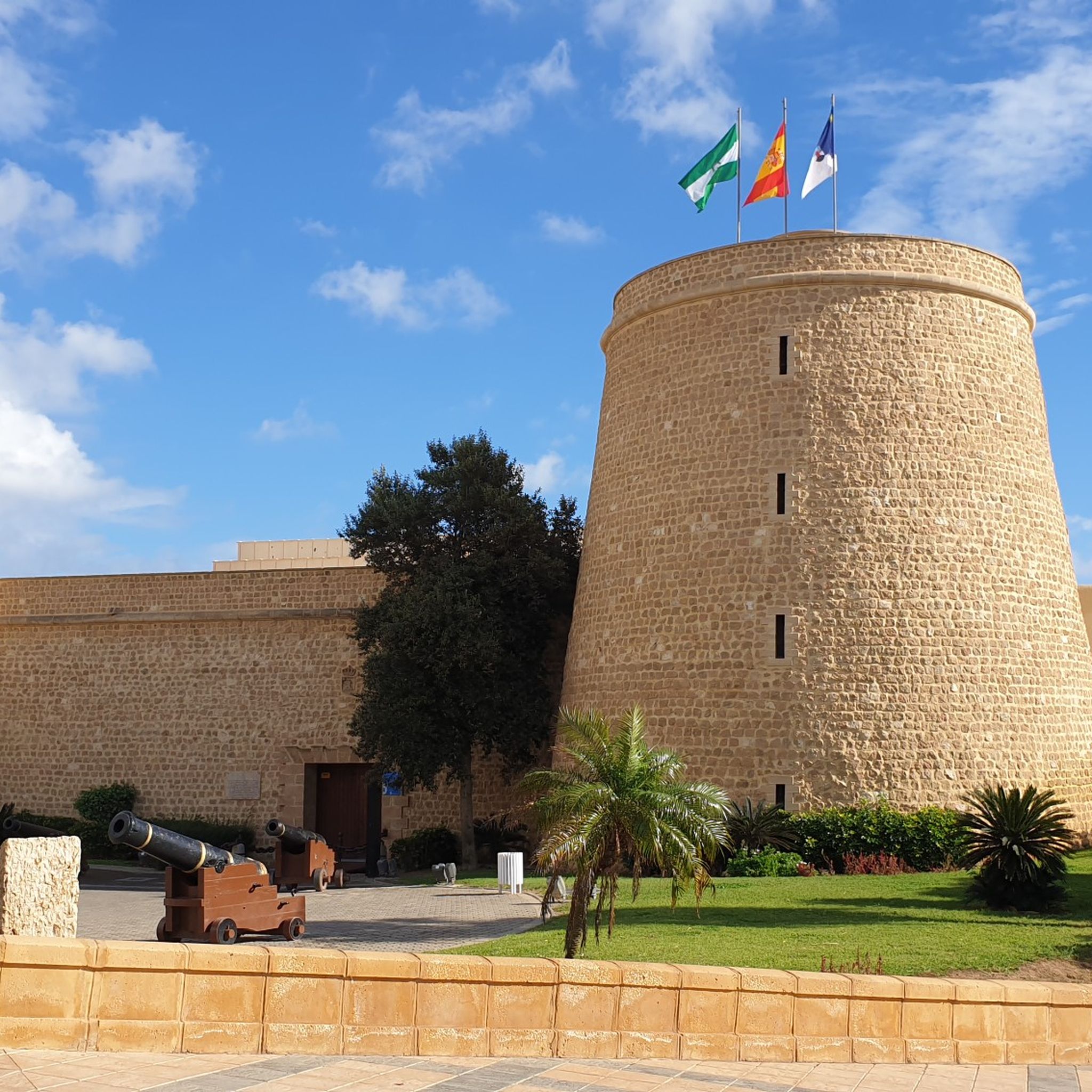
Yes, the area offers a touch of history amidst its natural beauty. You can find the 16th-century Cerrillos Tower, a coastal fortification dating back to 1575, which adds historical interest to your run. Additionally, the Punta Entinas Lighthouse is another notable landmark.
What is the best time of year to go running in Punta Entinas-Sabinar?
Punta Entinas-Sabinar is appealing for year-round outdoor activity due to its relatively warm annual average temperatures, typically over 18°C. However, for comfortable running, spring and autumn offer milder temperatures, making them ideal. Summer can be quite hot, so early morning or late evening runs are recommended during those months.
Are there any circular running routes available?
Yes, there are several excellent circular running routes. A popular choice is the Playa Serena Park – Playa de Roquetas de Mar loop from Bloque 2, a moderate 6.9 km trail. Another well-liked option is the Playa de los Muertos – Playa Serena Park loop from Playa Serena, which covers about 8.5 km through coastal landscapes.
Where can I park when visiting the running trails in Punta Entinas-Sabinar?
While specific parking areas aren't detailed in the route data, the nature reserve is accessible from nearby towns like Roquetas de Mar and El Ejido. Look for designated parking areas near the main entrances or trailheads, especially around the coastal access points. It's advisable to check local maps or signage upon arrival for the most convenient parking spots.
How can I reach Punta Entinas-Sabinar using public transport?
Punta Entinas-Sabinar is situated between the municipalities of Roquetas de Mar and El Ejido. While direct public transport into the heart of the reserve might be limited, you can typically reach the surrounding towns by bus. From there, you might need to walk or use a local taxi service to get closer to the trailheads. Checking local bus schedules for Roquetas de Mar or El Ejido would be the best approach.
Are there any easy running routes for beginners?
Yes, Punta Entinas-Sabinar offers 13 easy running routes perfect for beginners or those looking for a relaxed jog. These routes typically feature minimal elevation gain and well-maintained paths, often along the flat coastal strip or through the less challenging scrubland areas. The 'Salinas de Cerrillos' route, at 4.6 km, is a great example of an easy, signposted trail.
Most popular routes in Punta Entinas-Sabinar
Most popular attractions in Punta Entinas-Sabinar

Get inspired with the komoot mobile app


Explore more
Browse the best Running Trails & Routes in other regions.
