The best road cycling routes around Río Guadalquivir Tramo Superior
5.0
(3)
976
riders
40
rides
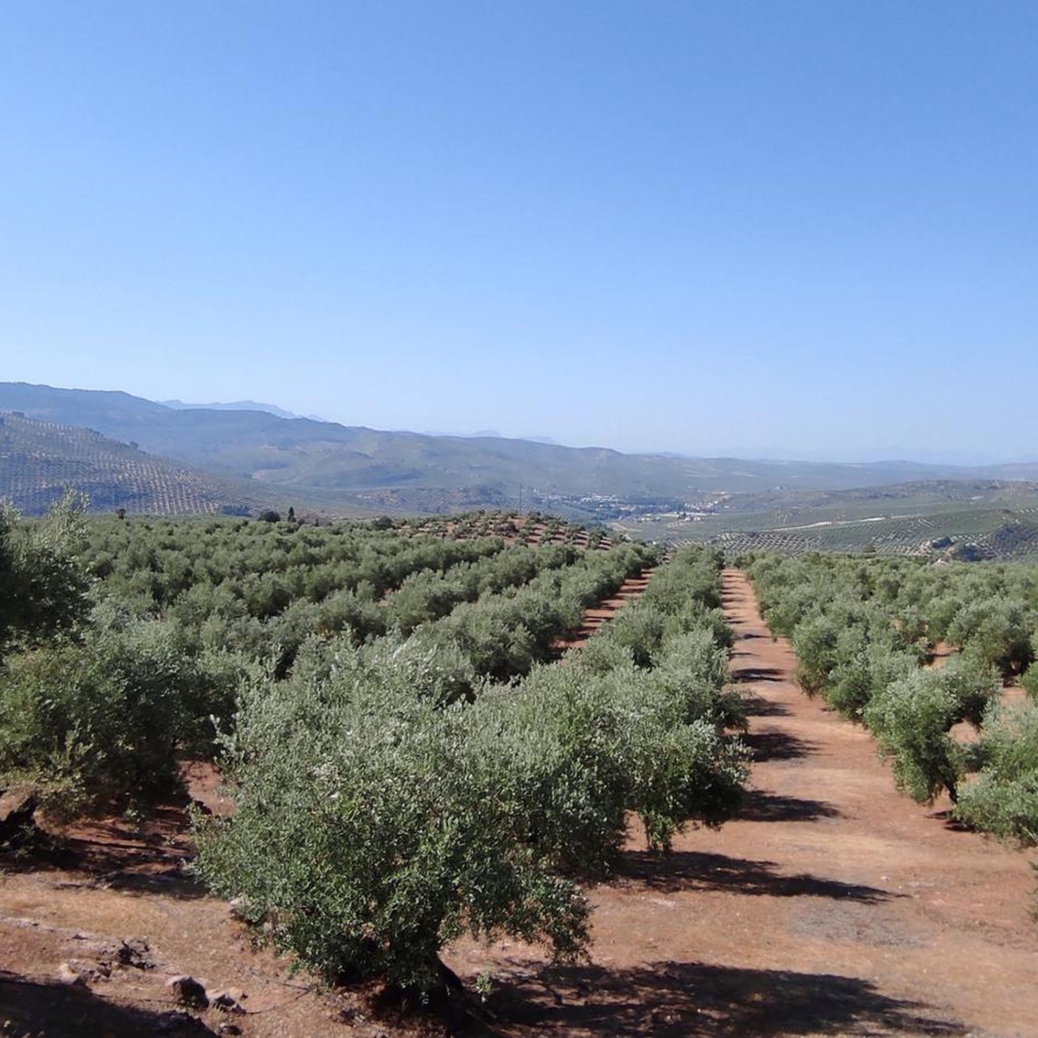
Road cycling routes around Río Guadalquivir Tramo Superior traverse a mountainous landscape within the Sierras de Cazorla, Segura y Las Villas Natural Park. This region is characterized by dense pine forests, river valleys, and significant elevation changes. The upper stretch of the Guadalquivir river features a sinuous path through areas with varied slopes, offering challenging routes for road cyclists. The area includes important reservoirs like Tranco de Beas, contributing to the scenic backdrop.
Best road cycling routes around Río Guadalquivir…
Last updated: July 10, 2026
21
riders
83.4km
04:12
1,370m
1,370m
Hard road ride. Very good fitness required. Some segments of this route may be unpaved and difficult to ride.
18
riders
105km
06:28
2,270m
2,270m
Hard road ride. Very good fitness required. Mostly well-paved surfaces and easy to ride.

Sign up for free
12
riders
60.8km
03:20
1,190m
1,190m
Hard road ride. Very good fitness required. Some segments of this route may be unpaved and difficult to ride.
10
riders
91.4km
04:50
1,600m
1,600m
Hard road ride. Very good fitness required. Some segments of this route may be unpaved and difficult to ride.
418
riders
143km
07:10
2,150m
2,150m
Hard road ride. Very good fitness required. Mostly well-paved surfaces and easy to ride.
5.0
(1)
43
riders
60.2km
03:01
840m
840m
Moderate road ride. Good fitness required. Mostly well-paved surfaces and easy to ride.
31
riders
78.3km
04:00
1,280m
1,280m
Hard road ride. Very good fitness required. Mostly well-paved surfaces and easy to ride.
29
riders
65.0km
03:11
830m
830m
Moderate road ride. Good fitness required. Mostly well-paved surfaces and easy to ride.
16
riders
104km
06:00
2,320m
2,320m
Hard road ride. Very good fitness required. Some segments of this route may be unpaved and difficult to ride.
17
riders
36.0km
01:50
440m
430m
Moderate road ride. Good fitness required. Mostly well-paved surfaces and easy to ride.
Get access to more routes and recommendations from other explorers.
Sign up for free
Already have an account?
Our route recommendations are based on thousands of hikes, rides, and runs completed by other people on komoot.
Start today with a free account
Your next adventure awaits.
Login or Signup
Tips from the Community

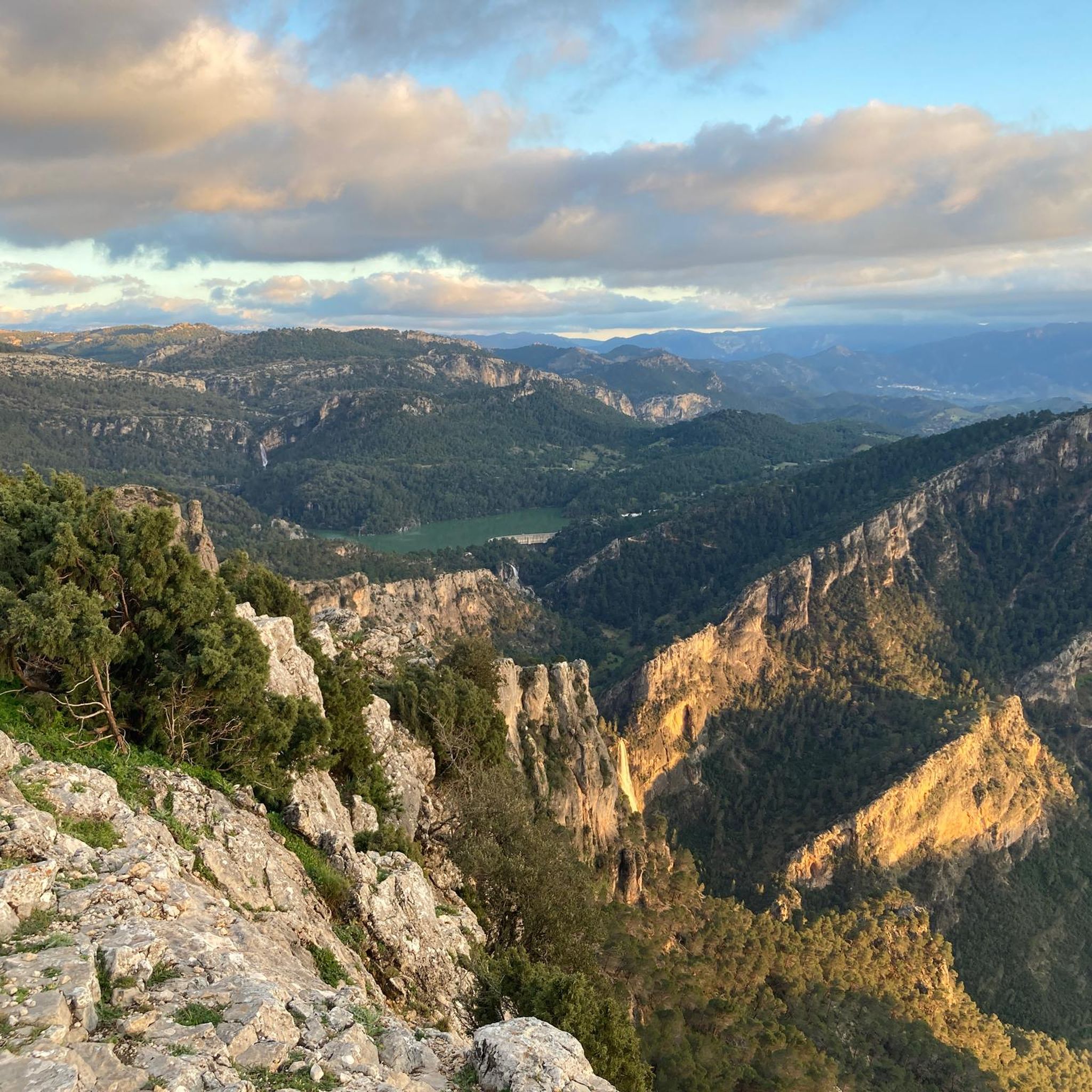
The Aguascebas Reservoir, also known as the Aguaderondo Reservoir, is located in the municipality of Villacarrillo. This reservoir was built between 1967 and 1969 on the streams of Aguascebas de la Fuente del Tajo and Aguascebas de Chorro Gil. The natural surroundings of the reservoir are impressive, with a karst landscape that includes waterfalls and a rich flora and fauna. Pine forests and riverside vegetation predominate among the vegetation, while common and rainbow trout can be found in its waters.
5
0

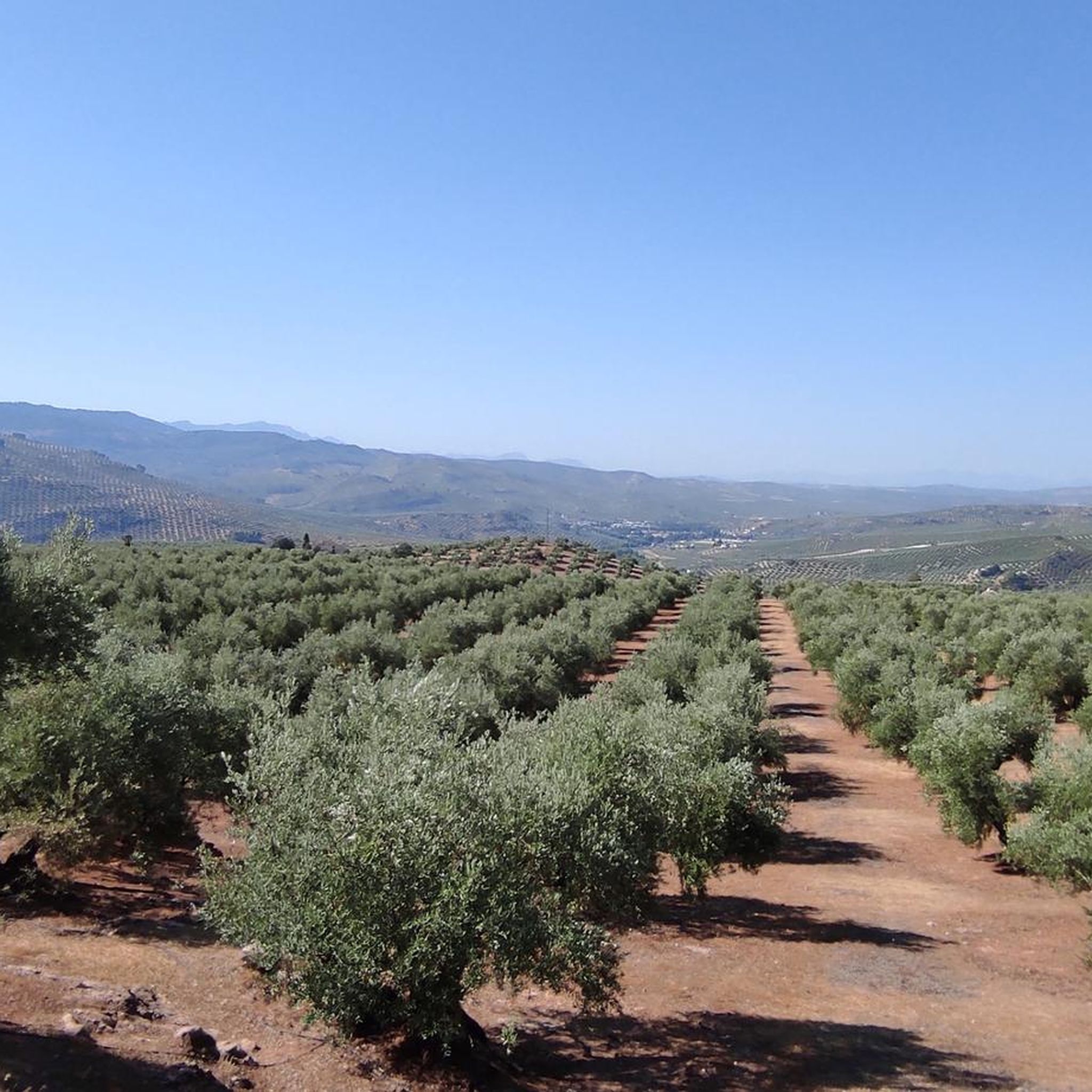
This is not a Templar castle, as is often said, but it is a real wonder and well worth a visit. From the top of its keep, you have fantastic views of the entire Jaén countryside and its sea of olive trees. Closed on Mondays and Tuesdays, be careful!
0
0


This is the most characteristic point from which you can see the entire valley of the Guadalquivir River, and all the human settlements that currently exist such as Arroyo Frío, El Chaparral or Loma de María Ángela. It is located at an altitude of 1241 meters above sea level.
14
0

Beautiful and small town that is crossed by the same Río Guadalquivir at this step at the entrance to the province of Granada by one of its ends.
0
0
Core that is also called Torreperogil and that was built thanks to the tower that is in the old middle of the core. Nice old helmet!
0
0

Eat, rest up, fill your bottles...
0
0
Beautiful road that goes through one of the mountains in the Sierra de Cazorla, with an asphalted road and always with impressive views of the area as a whole!
0
0
Frequently Asked Questions
How many road cycling routes are available in Río Guadalquivir Tramo Superior?
The Río Guadalquivir Tramo Superior region offers a wide selection of road cycling routes, with over 40 routes available on komoot. These routes cater to various skill levels, from moderate to difficult, allowing cyclists to explore the diverse landscapes of the Sierras de Cazorla, Segura y Las Villas Natural Park.
What kind of terrain can I expect on road cycling routes in Río Guadalquivir Tramo Superior?
Road cycling in this region is characterized by mountainous terrain, dense pine forests, and river valleys. You'll encounter significant elevation changes, with routes often featuring sinuous paths through varied slopes. The area's karstic geology also means you might see impressive gorges and waterfalls.
Are there challenging road cycling routes for experienced cyclists?
Yes, the Río Guadalquivir Tramo Superior is well-regarded for its challenging routes. Out of the 42 available routes, 25 are classified as difficult, featuring substantial elevation gains. For example, the Sierra de Villas by Villanueva del Arzobispo — circular by Mogón route covers over 105 km with more than 2,200 meters of ascent.
Are there any easier road cycling routes suitable for beginners or less experienced cyclists?
While many routes are challenging, there are also moderate options available. Out of the 42 routes, 17 are rated as moderate. An example is the Cazorla – Castillo de La Iruela loop from Puente de la Cerrada, which offers a scenic ride with less extreme elevation changes.
What natural features or landmarks can I see along the road cycling routes?
The region is rich in natural beauty and historical sites. You can cycle past significant water features like the Tranco de Beas Reservoir, or natural pools such as the Mogón Natural Pool. Routes also offer views of dramatic mountainous landscapes, dense pine forests, and the winding course of the Guadalquivir River. You might also encounter charming villages like Segura de la Sierra with its Mudejar castle.
Are there any scenic viewpoints on the road cycling routes?
Absolutely. The routes in Río Guadalquivir Tramo Superior are known for their breathtaking scenery, offering stunning views of mountains, valleys, and the river itself. The GR 247 route, which some cycling paths may intersect or parallel, is particularly noted for showcasing wild nature, gorges, and waterfalls, providing numerous scenic vistas.
Can I find routes that pass by reservoirs or natural pools?
Yes, several routes incorporate the region's beautiful water features. The Tranco de Beas Reservoir Loop from Villanueva del Arzobispo offers direct views of the reservoir. Another route, Charco de la Pringue – Mogón Natural Pool loop from Villanueva del Arzobispo, takes you past the notable Charco de la Pringue and the Mogón Natural Pool.
Are there circular road cycling routes available in the area?
Many of the road cycling routes in Río Guadalquivir Tramo Superior are designed as loops, allowing you to start and end in the same location. Examples include the Villacarrillo, Castellar, and Iznatoraf Loop and the Torreperogil loop from Villacarrillo.
What do other road cyclists enjoy most about road cycling in Río Guadalquivir Tramo Superior?
The area is highly rated by the komoot community, with an average score of 5.0 stars. Cyclists frequently praise the challenging nature of the routes, the stunning natural beauty, and the tranquility offered by the low traffic roads. The diverse landscapes, from dense pine forests to river valleys, are also a major draw.
Is the traffic generally low on these cycling routes?
Yes, beyond major towns, the road cycling routes in Río Guadalquivir Tramo Superior generally have low traffic. This provides a peaceful and immersive cycling experience, allowing you to fully enjoy the natural surroundings of the Sierras de Cazorla, Segura y Las Villas Natural Park.
What is the best time of year for road cycling in Río Guadalquivir Tramo Superior?
The region's mountainous terrain and dense pine forests offer a fresh and pleasant environment. Spring and autumn are generally ideal, with milder temperatures and vibrant landscapes. Summers can be warm, especially at lower elevations, but higher altitude routes might offer cooler conditions. Winters are cooler, and some higher passes could experience colder weather.
Most popular routes around Río Guadalquivir Tramo Superior
Most popular attractions around Río Guadalquivir Tramo Superior

Get inspired with the komoot mobile app


Explore more
Browse the best Road cycling routes in other regions.
