The best walks and hikes around Río Guadalimar
4.1
(78)
342
hikers
36
hikes
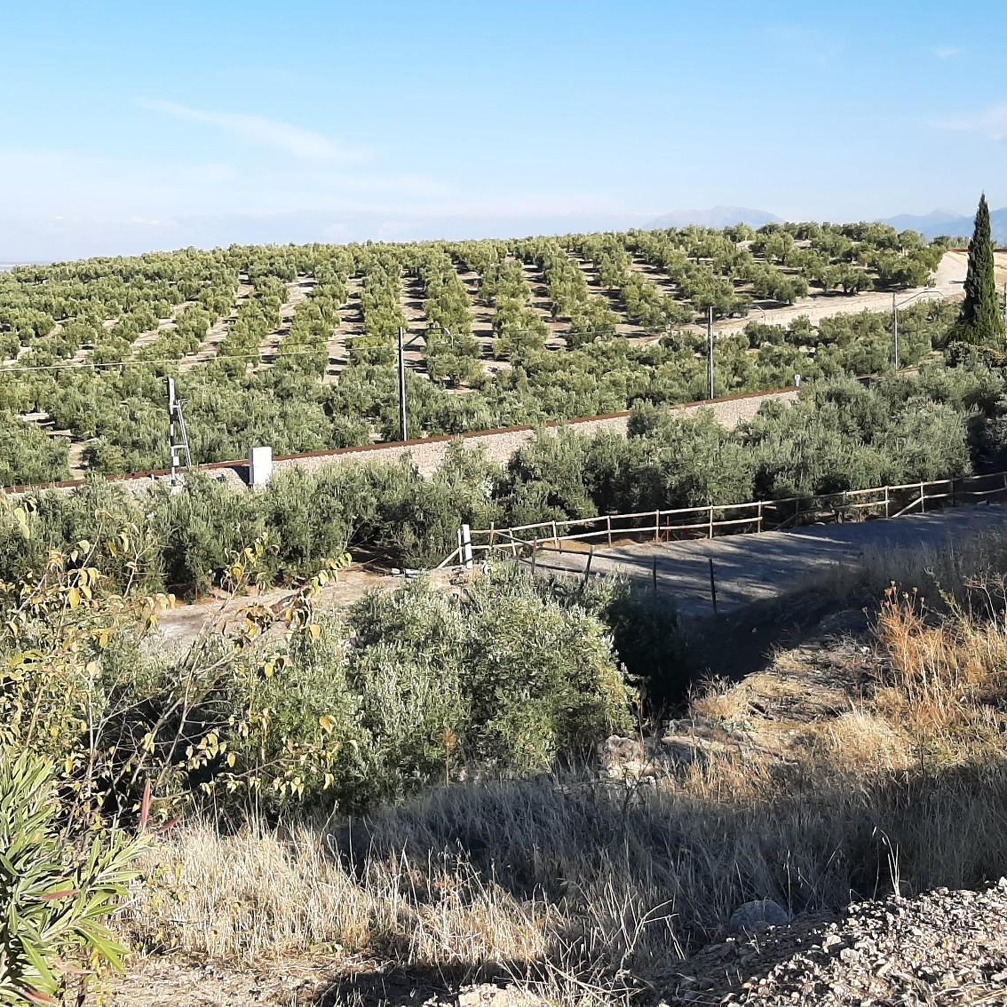
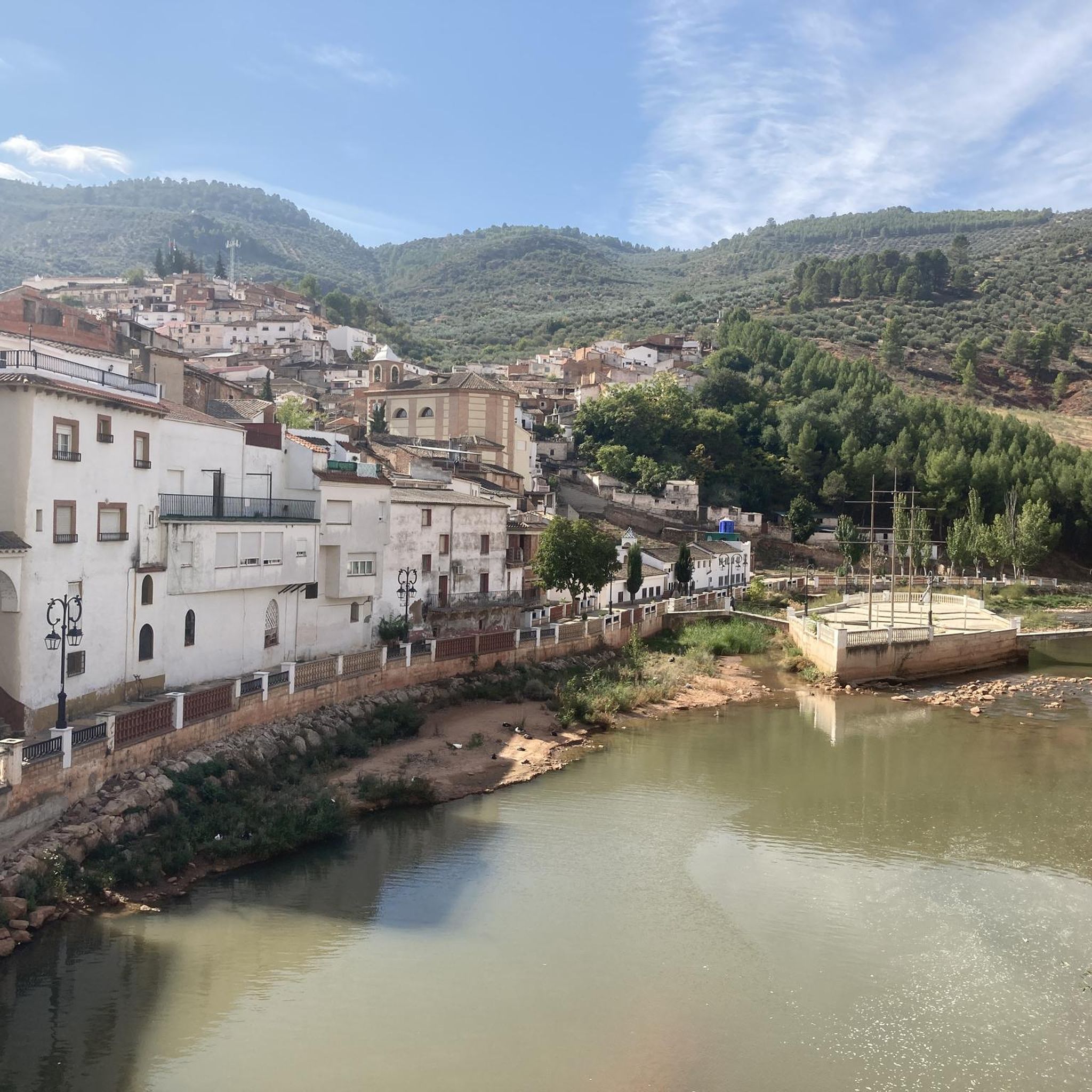
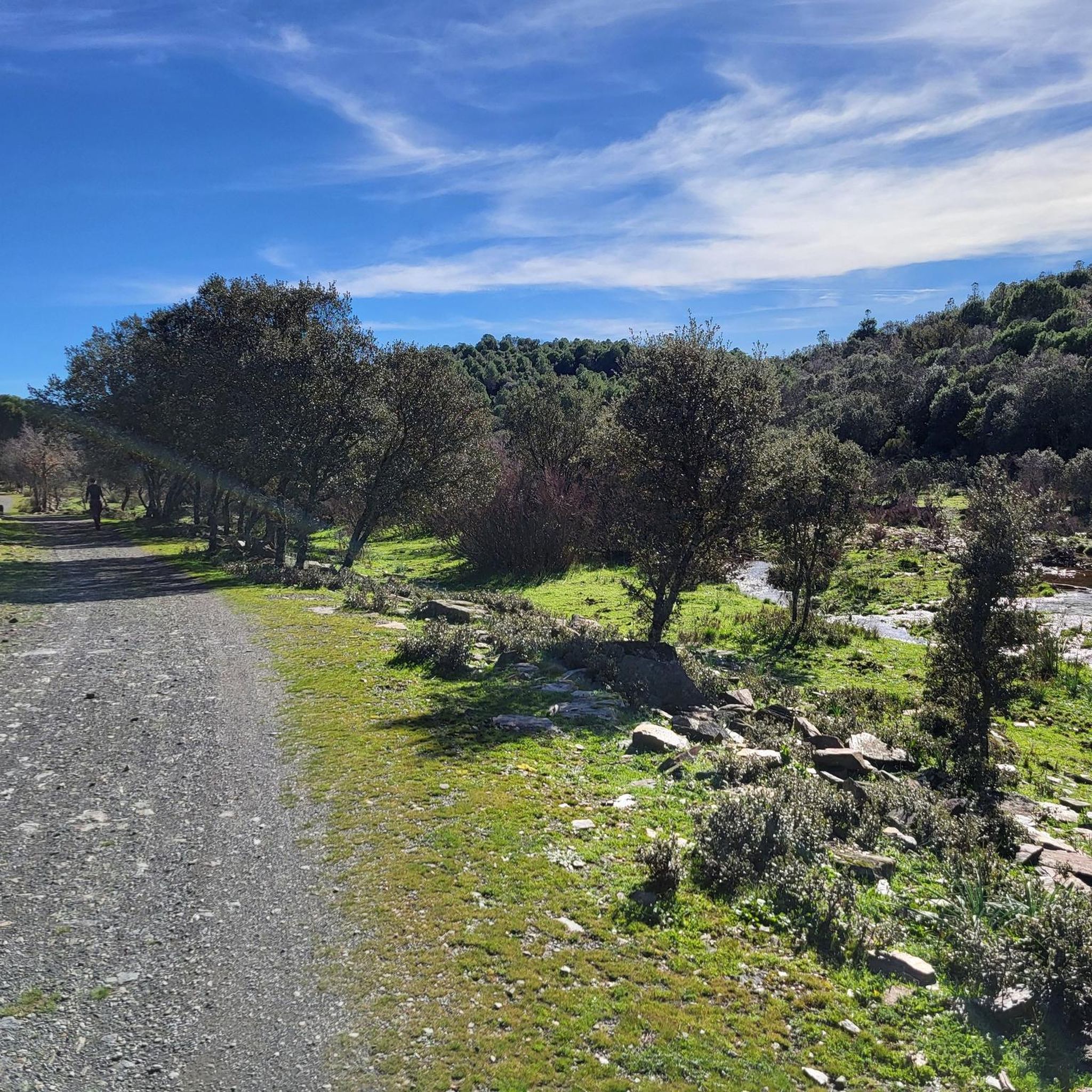
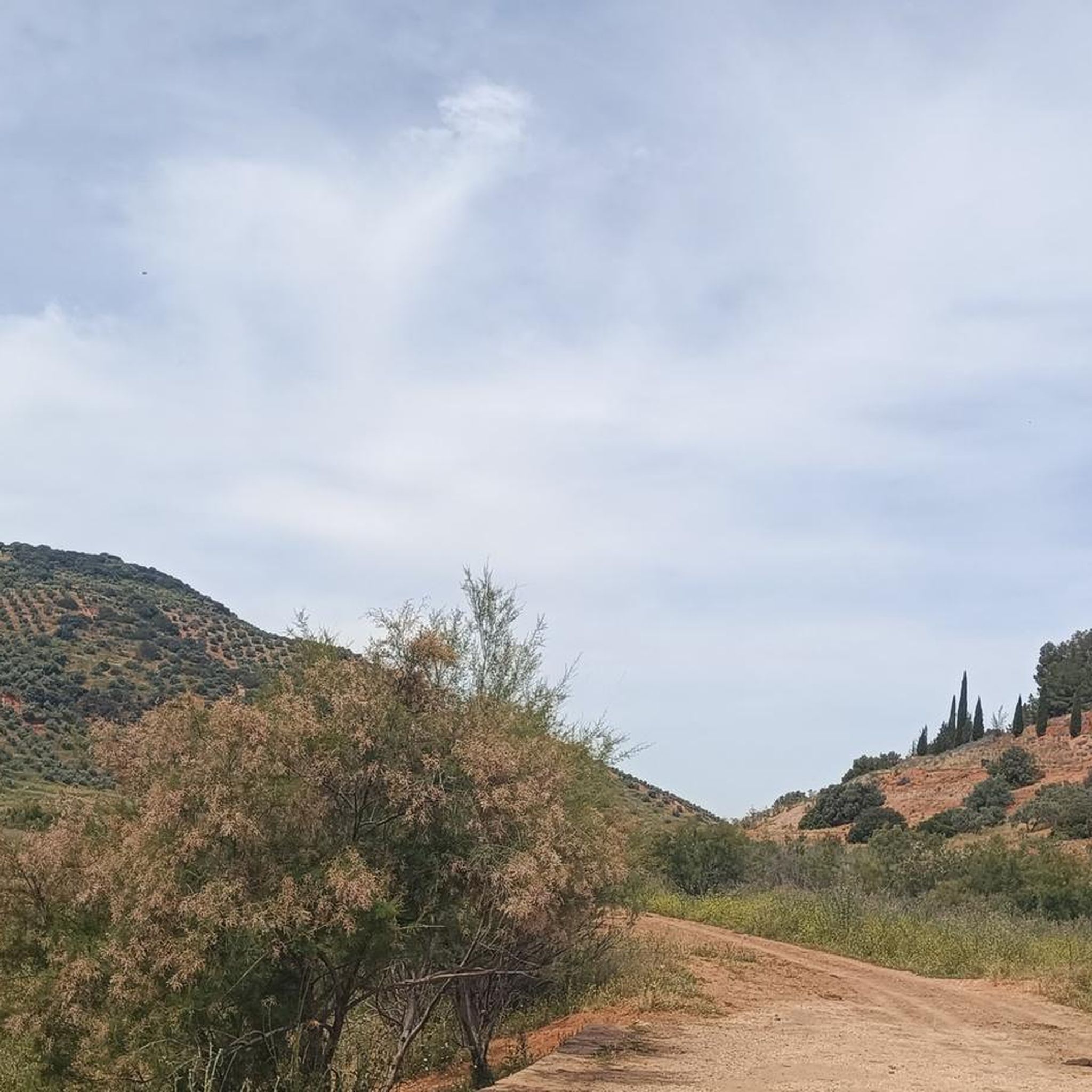
Hiking around Río Guadalimar offers exploration through diverse landscapes in the provinces of Albacete and Jaén, Spain. The region is characterized by the river's course through the Sierras de Cazorla, Segura y Las Villas Natural Park, providing varied forested environments and panoramic views. Originating in the mountainous Sierra de Alcaraz, the river creates distinct riparian ecosystems along its banks, supporting rich flora. The topography transitions from significant reliefs in its upper reaches to softer, rolling hills as it approaches the…
Last updated: May 11, 2026
4.0
(2)
4
hikers
16.0km
04:39
420m
420m
Moderate hike. Good fitness required. Easily-accessible paths. Suitable for all skill levels.
5.0
(1)
2
hikers
12.7km
04:21
680m
680m
Moderate hike. Good fitness required. Mostly accessible paths. Sure-footedness required.

Sign up for free
3
hikers
14.9km
04:05
250m
250m
Moderate hike. Good fitness required. Easily-accessible paths. Suitable for all skill levels.
7.74km
02:09
150m
150m
Moderate hike. Good fitness required. Easily-accessible paths. Suitable for all skill levels.
4.3
(6)
36
hikers
Moderate hike. Good fitness required. Easily-accessible paths. Suitable for all skill levels.
5.0
(3)
14
hikers
Easy hike. Great for any fitness level. Easily-accessible paths. Suitable for all skill levels.
4.6
(5)
12
hikers
Moderate hike. Good fitness required. Easily-accessible paths. Suitable for all skill levels.
4.0
(5)
11
hikers
Moderate hike. Good fitness required. Easily-accessible paths. Suitable for all skill levels.
3.3
(11)
9
hikers
Moderate hike. Good fitness required. Easily-accessible paths. Suitable for all skill levels.
3.0
(3)
7
hikers
Moderate hike. Good fitness required. Easily-accessible paths. Suitable for all skill levels.
Get access to more routes and recommendations from other explorers.
Sign up for free
Already have an account?
Our route recommendations are based on thousands of hikes, rides, and runs completed by other people on komoot.
Start today with a free account
Your next adventure awaits.
Login or Signup

Tips from the Community

The trail (PR) leading there is very poorly maintained and frankly difficult to follow in places. I also saw no markings (apart from two old wooden signs). A shame.
0
0

The Doña Luci Gardens in Linares are a green area beloved by locals, located near the Hermitage of the Virgin of Linarejos, near the Paseo de Linarejos. They are known for offering large, shaded areas thanks to their abundant vegetation. They have benches and spaces for resting, making them an ideal place for strolling or relaxing. They are surrounded by residential areas and are part of the urban complex that includes the sanctuary and the monumental promenade.
3
0
The Sanctuary of the Virgin of Linarejos is the main center of Marian devotion in Linares (Jaén), dedicated to its patron saint, the Virgin of Linarejos, honorary and perpetual mayor of the city. Tradition tells us that the Virgin appeared to the shepherd Juan Jiménez in 1227, although more recent research places the event in 1236.
4
0
The Constitution Fountain, also popularly known as the Dove Fountain, is one of Linares' most symbolic monuments, located at the beginning of Paseo Virgen de Linarejos, next to Constitution Square. It was inaugurated in 1981 as a tribute to the Spanish Constitution of 1978.
3
0
Linares has Iberian roots, with the city of Cástulo as its original center, capital of Oretania. It was first mentioned as such in 1155, during the reign of Alfonso VII. In the 19th century, it experienced its greatest boom thanks to lead mining, becoming a key industrial center in Spain. In 1875, Alfonso XII granted it the title of city. In the 20th century, the automotive industry took center stage with Santana Motor, which manufactured the famous Land Rover Santana.
3
0
The Land Rover Santana Monument in Linares pays tribute to one of the city's most important industrial symbols: the all-terrain vehicle manufactured by Santana Motor, a company that operated between 1956 and 2011.
3
0
The Andrés Segovia Monument in Linares is a tribute to the famous classical guitarist born in this city in 1893, considered one of the most influential of the 20th century. It is sometimes called "zapatones" (big shoes) because of the exaggerated size of the feet in the sculpture, a detail the artist used to emphasize the maestro's presence.
4
0
The Paseo Virgen de Linarejos is one of the most emblematic spaces in Linares, both for its historical value and its architectural and scenic beauty. Its layout began in 1843 and was completed in 1875, coinciding with the mining boom in Linares and its proclamation as a city during the reign of Alfonso XII.
4
0
Frequently Asked Questions
What kind of terrain can I expect when hiking around Río Guadalimar?
The Río Guadalimar region offers a diverse range of terrain. You'll find mountainous landscapes in the upper reaches, particularly near the Sierra de Alcaraz, and varied forested environments as the river flows through the Sierras de Cazorla, Segura y Las Villas Natural Park. Expect sections with gentle slopes along riparian ecosystems, but also areas with significant elevation changes and 'corners of spectacular beauty' created by streams. As you approach the Guadalquivir valley, the landscape transitions to softer, rolling hills.
Are there many hiking trails available in the Río Guadalimar area?
Yes, the Río Guadalimar area boasts a good selection of hiking opportunities. There are over 35 hiking routes available, catering to various skill levels. This includes 11 easy routes, 26 moderate trails, and 1 more challenging option, ensuring there's something for everyone.
What natural features or landmarks can I see along the hiking trails?
Hikers can discover a wealth of natural beauty and historical landmarks. The river itself, known for its distinctive reddish hue, flows through the stunning Sierras de Cazorla, Segura y Las Villas Natural Park. You might encounter unique riparian ecosystems with hazelnut groves and large holly trees. Notable attractions include the tranquil Giribaile Reservoir, the historic Roman and 19th-century bridges in Puente de Génave, and the impressive Torre del Cubo in Siles, offering spectacular views of the natural park. The area also features ancient drovers' roads and public paths.
Are there any family-friendly hiking options around Río Guadalimar?
Yes, the region offers several family-friendly hiking options, particularly among the 11 easy routes available. These trails often follow the river's gentler sections, providing pleasant walks suitable for all ages. For example, the riverside walks in Puente de Génave, with their open-air sculpture museum, can be a delightful experience for families.
Can I bring my dog on the hiking trails in Río Guadalimar?
Many trails in the Río Guadalimar area are suitable for dogs, especially those that traverse natural landscapes and less populated areas. However, it's always recommended to keep your dog on a leash, particularly within the Sierras de Cazorla, Segura y Las Villas Natural Park, to protect wildlife and ensure a pleasant experience for all hikers. Check specific trail regulations if you plan to enter protected zones.
Are there any circular hiking routes in the region?
Yes, you can find several circular hiking routes around Río Guadalimar. For instance, the Monument to Andrés Segovia – Sanctuary of the Virgin of Linarejos loop from Linares offers a moderate 11.8 km circular path. Another option is the Linares – Santa Margarita Gardens loop from Linares, a shorter 8.2 km moderate loop.
What do other hikers enjoy most about hiking in Río Guadalimar?
The area is highly rated by the komoot community, with an average score of 4.1 stars from over 60 reviews. Hikers often praise the diverse landscapes, from dense forests to the unique riparian ecosystems, and the stunning panoramic views, especially within the natural park. The well-established network of paths, including parts of the GR247, also contributes to a positive hiking experience.
Are there any places to swim or cool off along the river?
Yes, for a refreshing stop during your hike, Pena del Olivar, located near the Arroyo Los Molinos and the Guadalimar, is designated as a swimming zone. It offers a natural spot to cool off, especially during warmer months.
What is the best time of year to go hiking in Río Guadalimar?
The best time to hike in Río Guadalimar is generally during spring (April to June) and autumn (September to November). During these seasons, the weather is typically mild and pleasant, and the natural landscapes are at their most vibrant, with blooming flora in spring and rich colors in autumn. Summer can be very hot, while winter might bring cooler temperatures, especially in the mountainous upper reaches.
Are there any historical routes or paths to explore?
The Río Guadalimar basin is rich in history, crisscrossed by a network of ancient drovers' roads and public paths. These include routes like the Cordel de Andalucía and Cordel del Guadalimar in the upper course, which often run parallel to the river. Exploring these historic pathways offers a glimpse into the region's past while enjoying the natural scenery.
What are some moderate hiking trails I can explore?
For moderate challenges, you have several options. The Route of the Oratorio de Valdecan is a 16.0 km trail taking about 4 hours 38 minutes. Another popular choice is the PR-A 510 Cástulo, Desired City Trail, a 14.9 km route often completed in about 4 hours 5 minutes, leading through historical landscapes.
Is there public transport available to reach the hiking areas?
While specific public transport routes directly to all trailheads can be limited, towns along the river such as Siles, La Puerta de Segura, and Puente de Génave serve as gateways to the hiking areas and may have bus connections. It's advisable to check local bus schedules for these towns if you plan to rely on public transport to access the trails.
Where can I find parking for the hiking trails?
Parking availability varies by trailhead. In towns like Puente de Génave, Siles, or near popular attractions such as the Giribaile Reservoir, you may find designated parking areas. For more remote trailheads, roadside parking might be an option, but it's always best to plan ahead and check specific route information for recommended parking spots.
Most popular routes around Río Guadalimar

Get inspired with the komoot mobile app


Explore more
Browse the best Hikes in other regions.
