The best walks and hikes around Río Adra
4.4
(50)
330
hikers
42
hikes
Hiking around Río Adra offers diverse landscapes, from coastal paths to the hills and ravines of the Sierra de Gádor mountains. The region features varied topography, including the significant wetlands of the Albufera de Adra Natural Reserve, which is home to diverse birdlife and flora. Trails often combine natural beauty with historical mining landscapes, providing a comprehensive outdoor experience. The Mediterranean climate further enhances the hiking conditions throughout much of the year.
Best hiking trails around Río Adra
- The most…
Last updated: October 21, 2026
4.5
(2)
20
hikers
8.85km
03:16
570m
570m
Moderate hike. Good fitness required. Easily walkable paths.
4.0
(4)
11
hikers
12.7km
04:28
700m
710m
Moderate hike. Good fitness required. Easily walkable paths.

5.0
(1)
7
hikers
4.93km
01:21
80m
80m
Easy hike. Easily walkable paths.
5
hikers
8.04km
02:03
20m
20m
Moderate hike. Good fitness required. Easily walkable paths.
3
hikers
7.88km
02:13
170m
170m
Moderate hike. Good fitness required. Easily walkable paths.
4.0
(1)
4
hikers
5.96km
01:37
90m
90m
Easy hike. Easily walkable paths.
5
hikers
6.14km
01:34
20m
20m
Easy hike. Easily walkable paths.
6
hikers
5.08km
01:18
20m
20m
Easy hike. Easily walkable paths.
Get access to more routes and recommendations from other explorers.
Already have an account?
Our route recommendations are based on thousands of hikes, rides, and runs completed by other people on komoot.
Start today with a free account
Your next adventure awaits.
Tips from the Community

Inaugurated on July 30, 2021, it pays tribute to local motorcycle clubs (peñas), such as "Los Piratas de Adra," and celebrates the region's strong motorcycling culture.
0
0

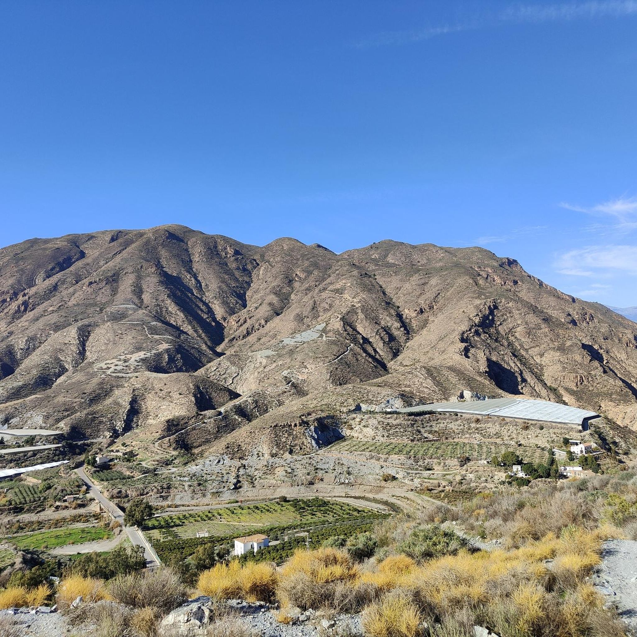
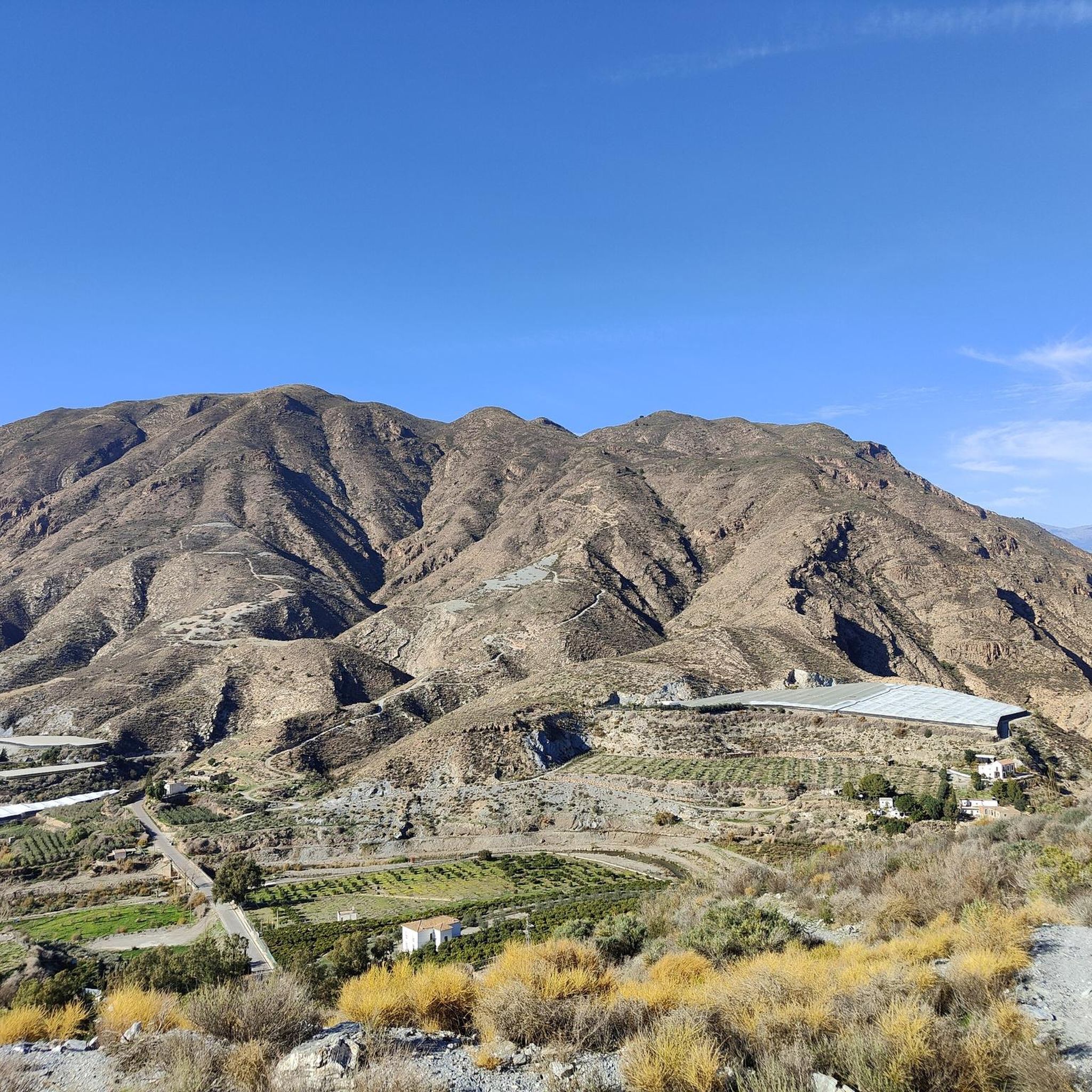
The PR-A 336, the Berja Mines Route, is a short circular trail that departs from the town of Castala, in the province of Almería (Andalusia, Spain). This route combines nature, history, and mining landscapes, delving into the Sierra de Gádor, an area with a significant history linked to mineral extraction. 📌 Key Route Facts Distance: ~12 km (circular). Duration: 4-5 hours (depending on pace). Difficulty: Moderate (with some challenging sections due to elevation gain). Elevation Gain: ~600 meters. Trail Type: Dirt trails, forest tracks, and some rocky areas. 🌄 Highlights Departing from Castala: The trail begins in this small mountain village, known for its natural surroundings and recreational area. Old Berja Mines: The route passes through the remains of abandoned mines that extracted lead and silver in the 19th and 20th centuries. Panoramic Views: From high points, you can see landscapes of the Sierra de Gádor, the Andarax Valley, and even the Mediterranean Sea on clear days. Vegetation and Fauna: Pine forests, Mediterranean scrubland (rosemary and thyme), and possible sightings of mountain goats or eagles. 📍 Why take this route? It is ideal for those seeking nature with a historical touch, far from crowded routes. The combination of arid landscapes, mining remains, and the tranquility of the mountains make it a fascinating option.
0
0


This is a new bike path from Balerma almost to Guardias Viejas
2
0

With the trekking bike it is a nice way, unfortunately sometimes unfortunate traffic routing. You don't have to go there because of the path.
0
0

Berja is a town located in the southwest of the Sierra de Gádor and where it is surrounded by mountains despite being very close to the sea. The Sierra Alhamilla makes it difficult to see the sea, where the well-known "sea of plastic" begins.
0
0

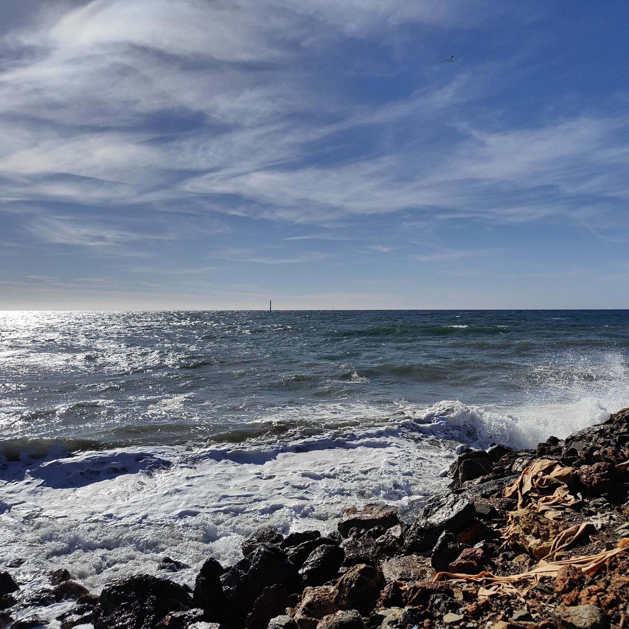
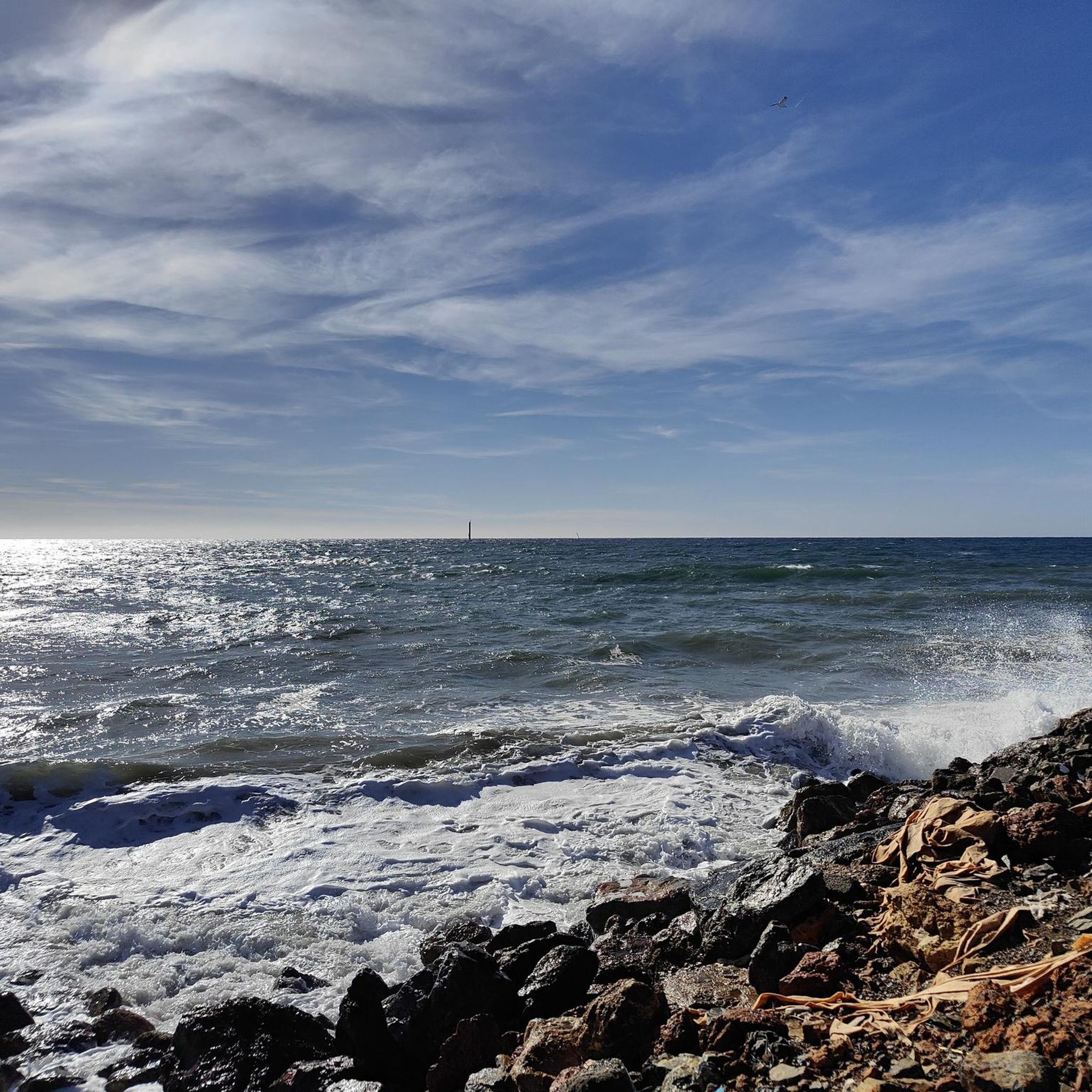
The layout of the bike lane runs parallel to the road, protecting you from traffic. However, you have the opportunity to use the paths near the coast pedaling through the Andalusian orchards until you reach the lagoon.
2
0

Long along the road, but separately and not on it.
0
1
Frequently Asked Questions
What kind of terrain can I expect on hikes around Río Adra?
The Río Adra region offers a diverse range of terrain. You can find coastal paths with Mediterranean views, such as the Adra Harbour – Jardines de Poniente loop from Adra, as well as more challenging mountainous routes in the Sierra de Gádor. These mountain trails often feature significant elevation changes, hills, and ravines, like the demanding Sierra de Gádor – circular from Celín, Dalías (PR-A 113).
Are there family-friendly hiking options in Río Adra?
Yes, there are several easier routes suitable for families. For instance, the Berja Hiking Route loop from Berja is an easy 5 km trail that can be completed in about 1 hour 21 minutes, offering a gentle introduction to the area's landscapes. The region's urban trails in Adra also provide less strenuous options for exploring historical sites.
Can I experience unique wildlife or ecosystems on the trails?
Absolutely. The Albufera de Adra Natural Reserve is a significant coastal wetland with two main lagoons, Albufera Honda and Albufera Nueva. This area is a crucial habitat and stopover for diverse birdlife and flora, especially migratory birds. Hikers can observe abundant aquatic avifauna from strategically placed observatories within this protected area.
Do hikes in Río Adra offer historical insights?
Many routes in Río Adra combine natural beauty with rich history. The Sierra de Gádor, for example, features trails like the Berja Mines Route (PR-A 336), which delves into the region's mining past. Additionally, urban trails in Adra, one of Spain's oldest cities, allow you to explore its Roman and Muslim heritage on foot, passing by historical landmarks.
Are there many circular hiking routes available?
Yes, the region offers a good selection of circular routes. A notable example is the challenging Sierra de Gádor – circular from Celín, Dalías (PR-A 113). For an easier option, consider the Berja Hiking Route loop from Berja. These loops allow you to start and end your journey at the same point, making logistics simpler.
What are the typical lengths and durations of hikes in Río Adra?
Hikes in Río Adra vary significantly in length and duration. You can find shorter, easier walks like the Adra Harbour loop from Adra, which is about 6.1 km and takes under 1.5 hours. For more ambitious hikers, routes such as the Sierra de Gádor – circular from Celín, Dalías (PR-A 113) spans over 22 km and can take more than 8 hours to complete.
When is the best time of year to go hiking in Río Adra?
Thanks to its Mediterranean climate, Río Adra offers good hiking conditions for much of the year. Spring and autumn are generally ideal, with pleasant temperatures and blooming landscapes. Even winter can be suitable for coastal and lower-altitude trails, though mountain routes might require more preparation. Summers can be very hot, so early morning or late afternoon hikes are recommended during this season.
What do other hikers enjoy the most about hiking in Río Adra?
The komoot community highly rates hiking in Río Adra, with an average score of 4.3 stars from over 30 reviews. Hikers often praise the diverse landscapes, which range from stunning coastal views to the rugged beauty of the Sierra de Gádor. The unique wetlands of the Albufera de Adra Natural Reserve are also frequently highlighted for their natural significance.
Are there any routes that explore the region's mining heritage?
Yes, the region has a rich mining history that can be explored on foot. The Berja Mines Route (PR-A 336), starting from Castala, is a prime example, taking hikers through historical mining landscapes in the Sierra de Gádor. Another route, La Esperanza Mine – Mine of Memories loop from Parque Periurbano Castala, also delves into this fascinating past.
How many hiking trails are available in the Río Adra area?
There are over 30 hiking trails available around Río Adra, catering to various skill levels. This includes 15 easy routes, 12 moderate trails, and 6 more difficult options, ensuring there's something for everyone from casual walkers to experienced mountaineers.
Are there any trails that offer views of both the mountains and the sea?
Yes, some routes provide a fantastic blend of mountain and coastal scenery. The Abandoned House – View of the Valley and Sea loop from Dalías is a moderate trail that offers expansive views, allowing you to appreciate the dramatic contrast between the Sierra de Gádor mountains and the Mediterranean coastline.
Most popular routes around Río Adra

Get inspired with the komoot mobile app


Explore more
Browse the best Hikes in other regions.
