The best MTB trails in Sierras De Abdalajis Y La Encantada Sur
4.6
(63)
531
riders
30
rides
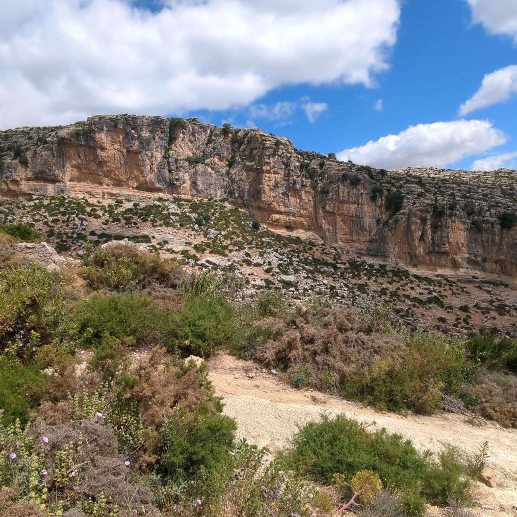
Mountain biking in Sierras De Abdalajis Y La Encantada Sur offers diverse terrain within a Natura 2000 protected area in Málaga, Spain. The region features a rugged landscape shaped by limestone, marly limestone, and conglomerates, resulting in karst formations like lapiaces and sinkholes. Riders encounter abrupt terrain with significant elevation changes, including technical singletracks, challenging climbs, and long descents. The area provides a mix of "white knuckle rides over rock" and "loose gravel and dusty goat tracks," utilizing ancient rights of way and goat trails.
Best mountain bike trails in Sierras De Abdalajis Y La Encantada Sur
- The most popular mountain bike trail is Tajo de la Encantada Dam – Caminito del Rey loop from El Chorro-Caminito del Rey, a 14.6 miles (23.4 km) trail that takes 2 hours 19 minutes to complete. This moderate route navigates through the region's distinctive geological features.
- Another top favourite among local mountain bikers is Three Reservoirs Viewpoint – Caminito del Rey loop from Río Turón, a moderate 29.2 miles (47.0 km) path. It offers expansive views of the surrounding natural landscape and reservoirs.
- Local mountain bikers also love the Tajo de la Encantada Dam – Caminito del Rey loop from El Chorro-Caminito del Rey, a 27.1 miles (43.6 km) trail leading through varied terrain with significant elevation gain, often completed in about 4 hours 52 minutes.
- Mountain biking in Sierras De Abdalajis Y La Encantada Sur is defined by karst formations, technical singletracks, and challenging climbs and descents. The network offers options for different ability levels, from moderate paths to difficult routes with substantial elevation.
- The routes in Sierras De Abdalajis Y La Encantada Sur are highly rated by the komoot community with an average score of 4.7 stars from over 50 reviews. More than 400 mountain bikers have used komoot to explore Sierras De Abdalajis Y La Encantada Sur's varied terrain.
Last updated: August 27, 2026
5.0
(7)
125
riders
Moderate mountain bike ride. Good fitness required. Suitable for all skill levels.
4.6
(5)
12
riders
Moderate mountain bike ride. Good fitness required. Suitable for all skill levels.

Sign up for free
5.0
(2)
11
riders
Moderate mountain bike ride. Good fitness required. Suitable for all skill levels.
11
riders
42.9km
03:58
1,070m
1,070m
Hard mountain bike ride. Very good fitness required. Suitable for all skill levels.
4.9
(7)
95
riders
Moderate mountain bike ride. Good fitness required. Suitable for all skill levels.
Get access to more routes and recommendations from other explorers.
Sign up for free
Already have an account?
Our route recommendations are based on thousands of hikes, rides, and runs completed by other people on komoot.
Start today with a free account
Your next adventure awaits.
Login or Signup
Popular around Sierras De Abdalajis Y La Encantada Sur

Hike between sea and mountains — Gran Senda de Málaga (GR 249)
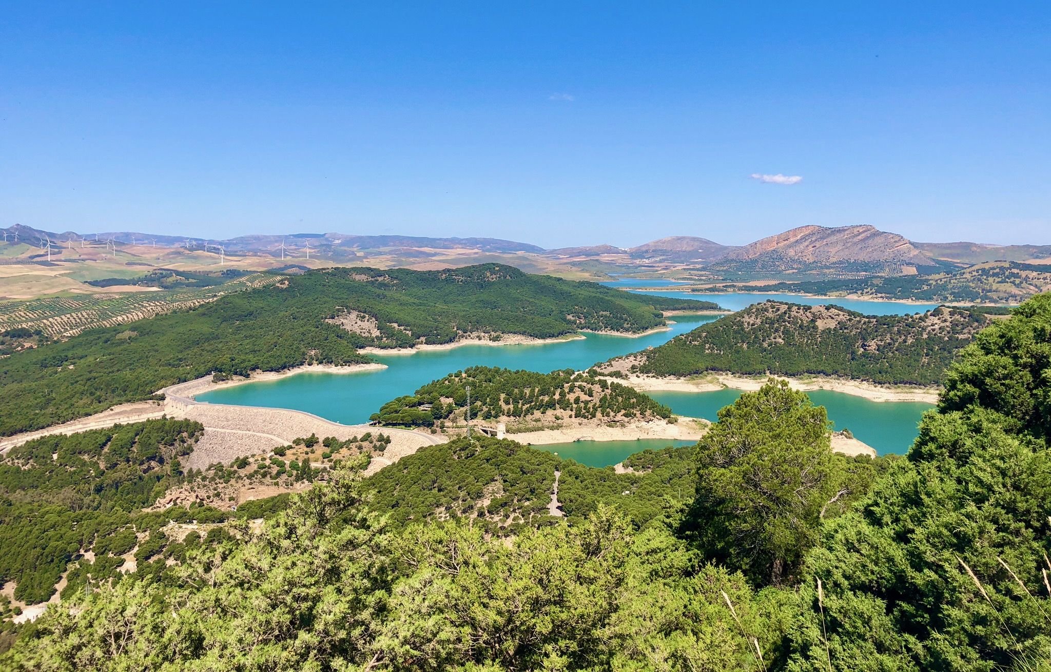
Seven days walking along the Gran Senda de Málaga (GR 249)
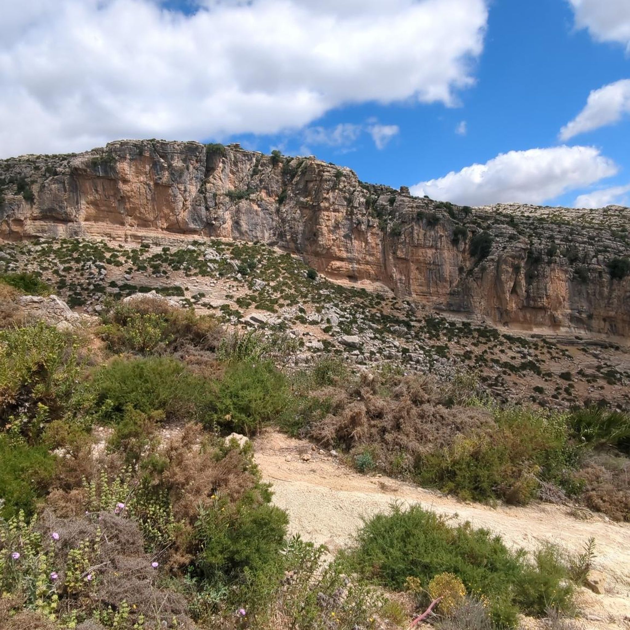
Cycling in Sierras De Abdalajis Y La Encantada Sur
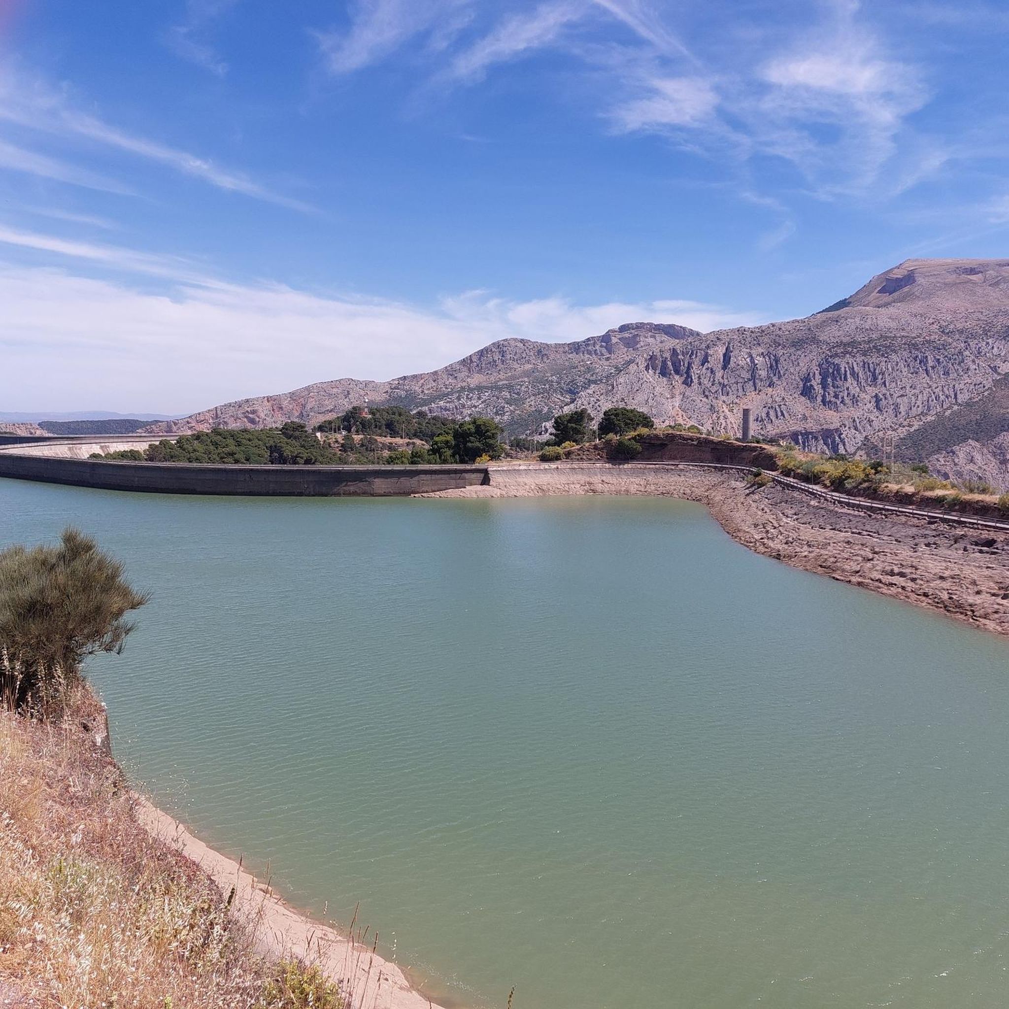
Road Cycling Routes in Sierras De Abdalajis Y La Encantada Sur
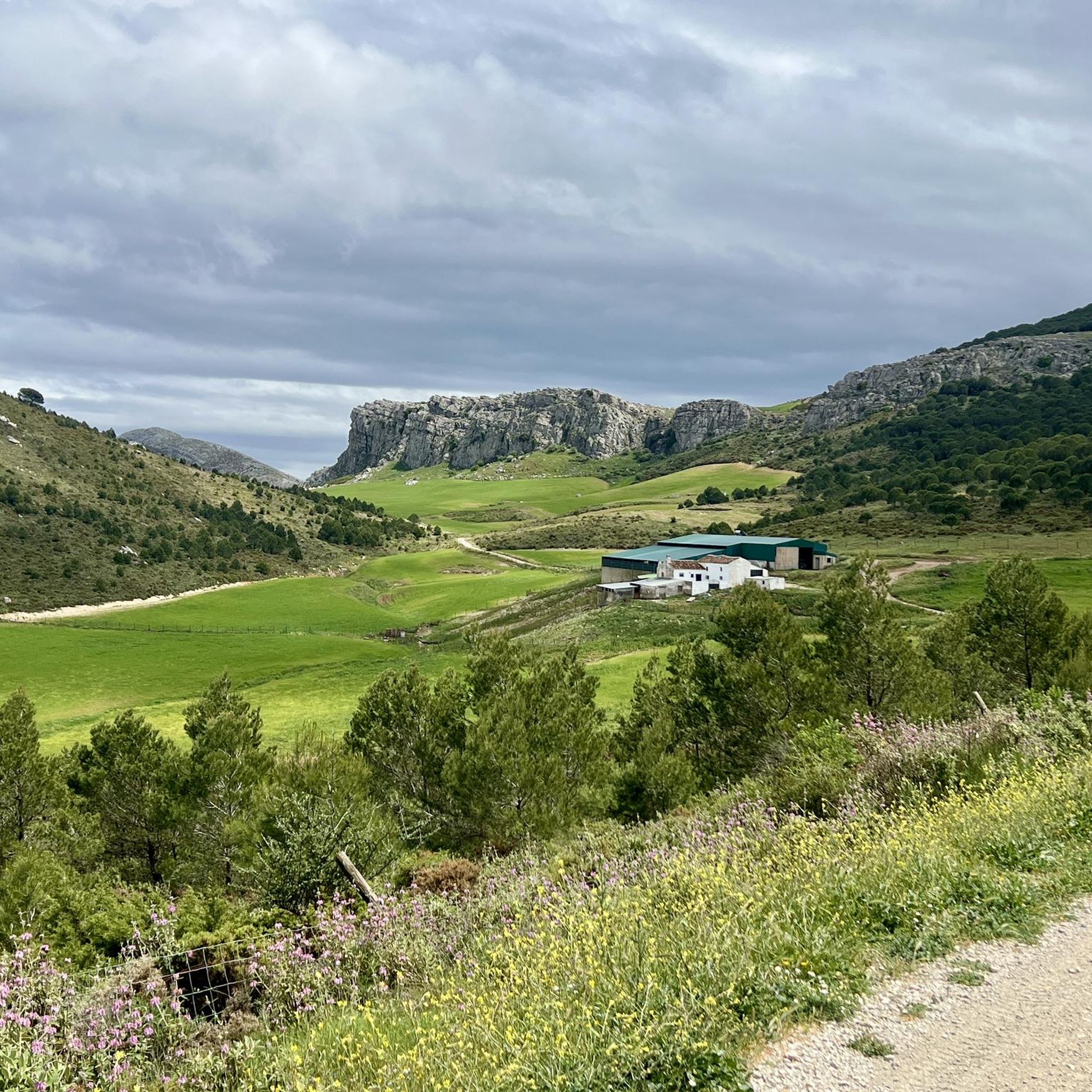
Running Trails in Sierras De Abdalajis Y La Encantada Sur
Hiking in Sierras De Abdalajis Y La Encantada Sur

Gravel biking in Sierras De Abdalajis Y La Encantada Sur
Other adventures in Sierras De Abdalajis Y La Encantada Sur

Tips from the Community

Well-lit tunnel as a shortcut to the start of the Caminito del Rey. A bit low for people 1.90m and taller, otherwise another highlight around the Caminito del Rey. The tunnel is approx. 500m long and you can see the end of the tunnel right from the beginning.
4
0

Don't miss the view down towards Caminito del Rey!
0
0
You can cycle right up to the viewpoint, it's worth it! ;)
1
0
The descent is very technical but really fun (S2)!
0
0

Arabian Stairs: The name is misleading. The stairs are not historical, but probably no more than 100 years old, and serve to avoid a massive detour over the later saddle. They were presumably built to facilitate other projects in the region behind the mountain. A local guide reported that the pine forests at the beginning of the tour used to be villages. You can see ruins and threshing floors. During the Franco dictatorship, the villages were destroyed, the inhabitants relocated, and the pines were planted to prevent their return (formerly grain fields): subsistence farmers were difficult to control, and workers were needed for industry.
2
0

It is the beginning of the gorge
0
0
It's amazing what has been created here
0
1
Frequently Asked Questions
How many mountain bike trails are available in Sierras De Abdalajis Y La Encantada Sur?
There are over 25 mountain bike routes in Sierras De Abdalajis Y La Encantada Sur, offering a diverse range of experiences for all skill levels.
What kind of terrain can I expect when mountain biking in Sierras De Abdalajis Y La Encantada Sur?
The region is characterized by rugged limestone geology, offering a mix of challenging terrain. You'll find technical singletracks, often described as 'white knuckle rides over rock' with 'loose gravel and dusty goat tracks.' Expect significant elevation changes, tough climbs, and long descents, with some trails featuring berms, drops, and rock gardens.
Are there mountain bike routes suitable for beginners in this region?
Yes, there are a few easier routes available. While many trails are moderate to difficult, you can find options that are less technical and have gentler gradients, perfect for those new to mountain biking or looking for a more relaxed ride.
What are some challenging mountain bike routes for experienced riders?
For experienced riders seeking a challenge, routes like the Tajo de la Encantada Dam – Caminito del Rey loop from El Chorro-Caminito del Rey offer significant elevation gains and technical descents. Another demanding option is the Tajo de la Encantada Dam loop from El Chorro-Caminito del Rey, known for its sustained climbs and varied terrain.
Are there any circular mountain bike routes in Sierras De Abdalajis Y La Encantada Sur?
Yes, many of the mountain bike routes in the area are circular, allowing you to start and finish at the same point. Examples include the Tajo de la Encantada Dam – Caminito del Rey loop from El Chorro-Caminito del Rey and the Three Reservoirs Viewpoint – Caminito del Rey loop from Río Turón.
What natural landmarks or viewpoints can I see while mountain biking in the area?
The region offers stunning natural scenery. Many routes provide views of the dramatic Desfiladero de los Gaitanes canyon, home to the Caminito del Rey. You can also find viewpoints like the View of the Suspension Bridge on the Caminito del Rey and Las Mesas de Villaverde Viewpoint. The area's karst formations, including lapiaces and sinkholes, are also prominent features.
Are there any historical sites or cultural attractions accessible from the mountain bike trails?
Yes, the region has historical significance. You can explore sites like the Geological Point of Interest: Bobastro, the Entrance to the Mozarabic Ruins of Bobastro, and the Mozarabic Rock-Cut Church of Bobastro, which are often near or accessible from various routes.
What is the best time of year to go mountain biking in Sierras De Abdalajis Y La Encantada Sur?
The best time for mountain biking in this region is typically during the spring (March to May) and autumn (September to November). Temperatures are milder, and the landscape is vibrant. Summers can be very hot, making early morning or late afternoon rides preferable, while winters are generally mild but can have occasional rain.
Is it possible to reach mountain bike trails in Sierras De Abdalajis Y La Encantada Sur by public transport?
The El Chorro area and Valle de Abdalajís serve as popular hubs for outdoor activities, including mountain biking. While direct public transport to every trailhead might be limited, these central points often have better connections, and local services or taxis can help bridge the gap to specific starting points.
Are there parking facilities available near the trailheads?
Yes, in popular starting points like El Chorro and around Valle de Abdalajís, you can typically find designated parking areas. It's advisable to check specific route descriptions for detailed parking information, especially for more remote trailheads.
Are there family-friendly mountain bike routes in Sierras De Abdalajis Y La Encantada Sur?
While many routes are geared towards moderate to difficult riders, there are a couple of easier trails that could be suitable for families with some mountain biking experience. These routes generally feature less technical terrain and more manageable gradients, allowing for a more relaxed family outing.
What do other mountain bikers say about the trails in Sierras De Abdalajis Y La Encantada Sur?
The mountain biking trails in Sierras De Abdalajis Y La Encantada Sur are highly regarded by the komoot community, with an average rating of 4.7 out of 5 stars. Riders frequently praise the stunningly remote mountain scenery, the challenging and diverse terrain, and the authentic 'Proper Mountain Biking' experience offered by the natural, ungroomed trails.
Most popular routes in Sierras De Abdalajis Y La Encantada Sur
Most popular attractions in Sierras De Abdalajis Y La Encantada Sur

Get inspired with the komoot mobile app


Explore more
Browse the best MTB trails in other regions.
