The best running trails in Sierra De Huétor
4.3
(83)
3,934
runners
27
runs
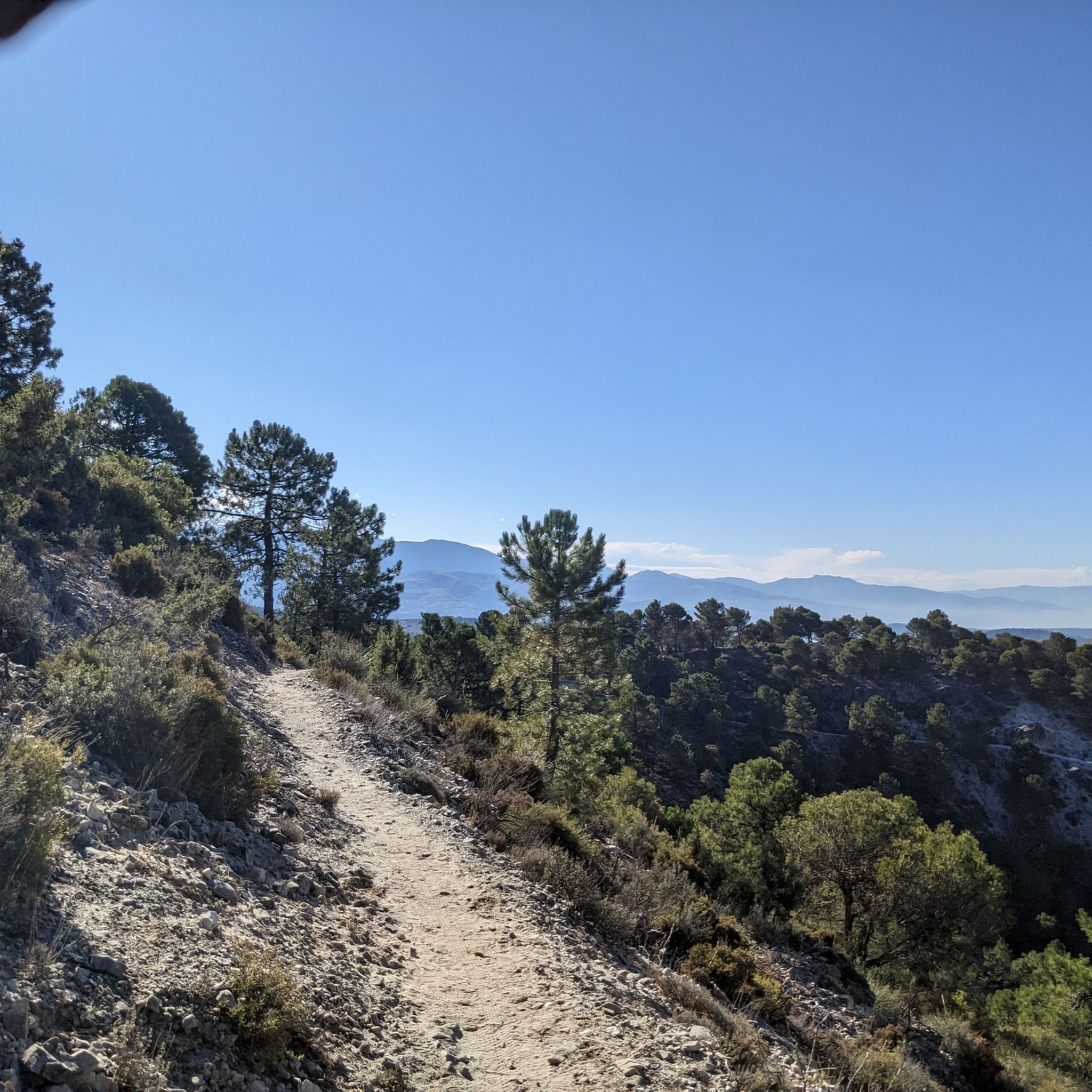
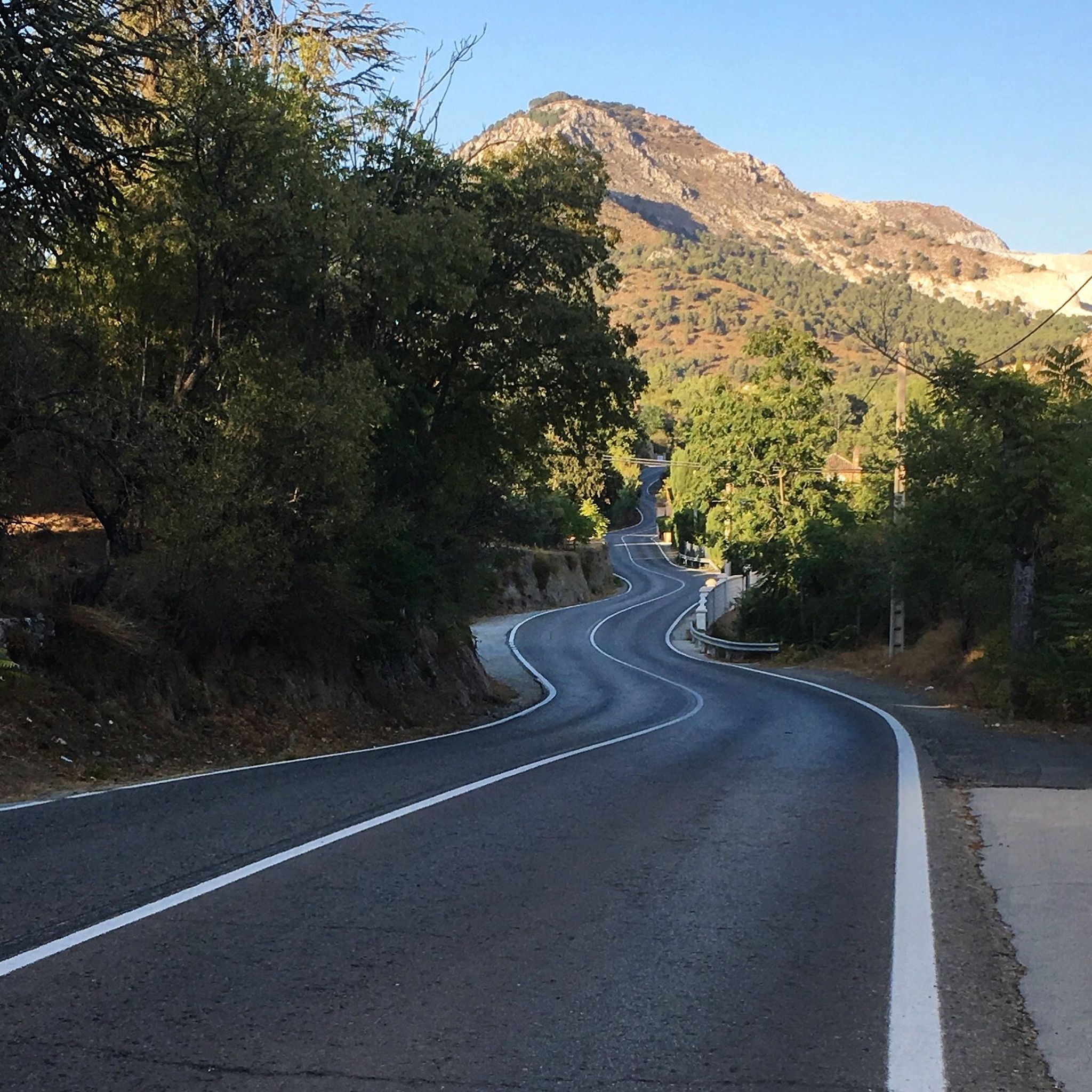
Jogging in Sierra De Huétor offers a diverse landscape for runners, characterized by mid-mountain ranges and varied topography. The region features extensive pine forests, as well as holm oaks and gall oaks, providing shaded paths. Limestone formations create cliffs and ravines, while numerous springs and rivers like the Darro and Fardes shape the terrain. This natural park provides a range of inclines and surfaces suitable for different running intensities.
Best jogging routes in Sierra De Huétor
- The most popular jogging…
Last updated: October 3, 2026
39
runners
Hard run. Very good fitness required. Sure-footedness, sturdy shoes and alpine experience required.
4.7
(3)
99
runners
Hard run. Very good fitness required. Sure-footedness, sturdy shoes and alpine experience required.

68
runners
Moderate run. Good fitness required. Mostly paved surfaces. Suitable for all skill levels.
5.0
(1)
31
runners
Hard run. Very good fitness required. Sure-footedness, sturdy shoes and alpine experience required.
20
runners
4.88km
00:41
230m
220m
Moderate run. Good fitness required. Mostly paved surfaces. Suitable for all skill levels.
Get access to more routes and recommendations from other explorers.
Already have an account?
Our route recommendations are based on thousands of hikes, rides, and runs completed by other people on komoot.
Start today with a free account
Your next adventure awaits.
Popular around Sierra De Huétor



Tips from the Community

It's not a cemetery, it's a forest house.
0
0

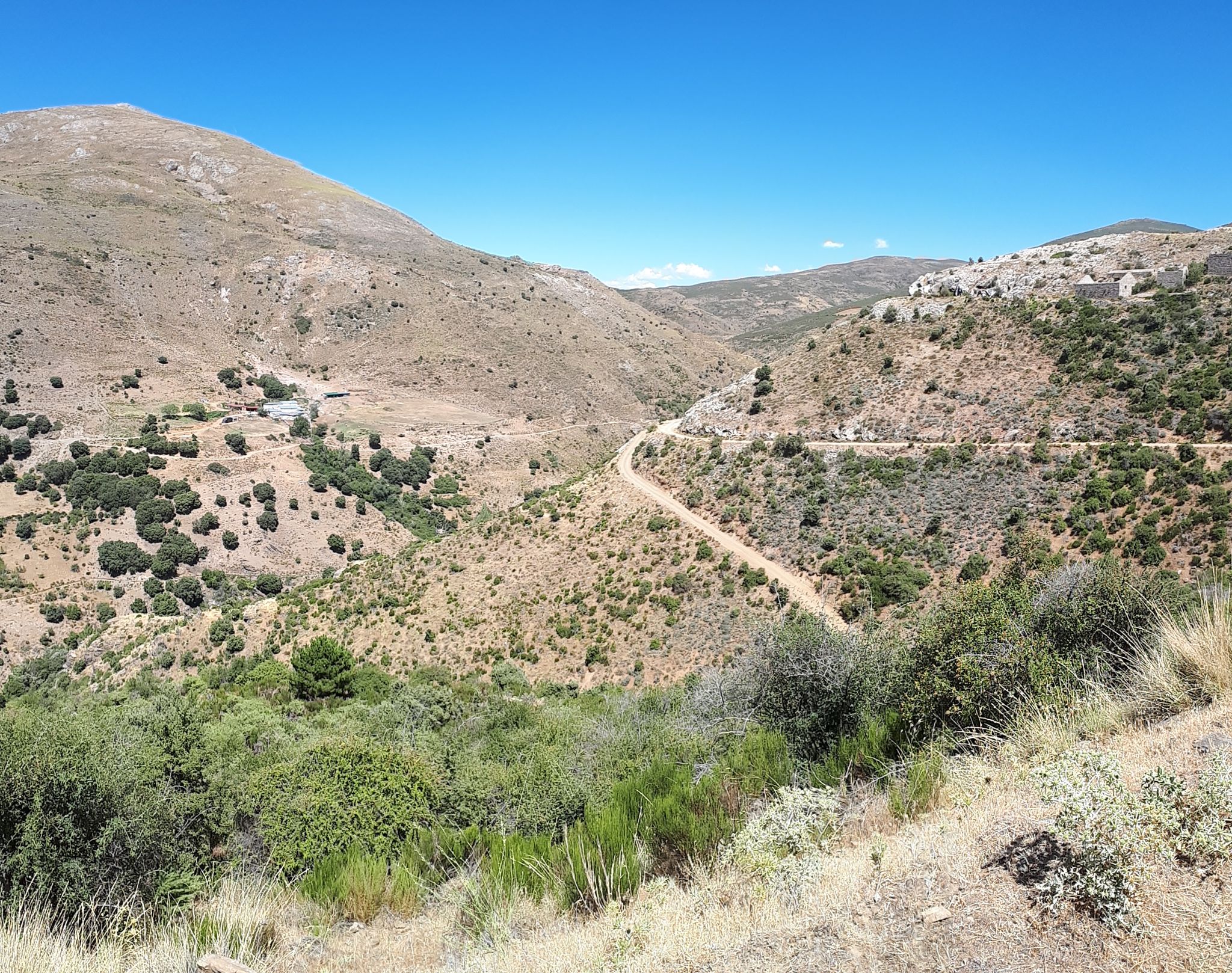
In the Polvorite ravine, through which the Darro River runs, there is a narrow and winding path that runs through the canyon. It is not advisable to do it on days of heavy rain, as it could be dangerous.
1
0

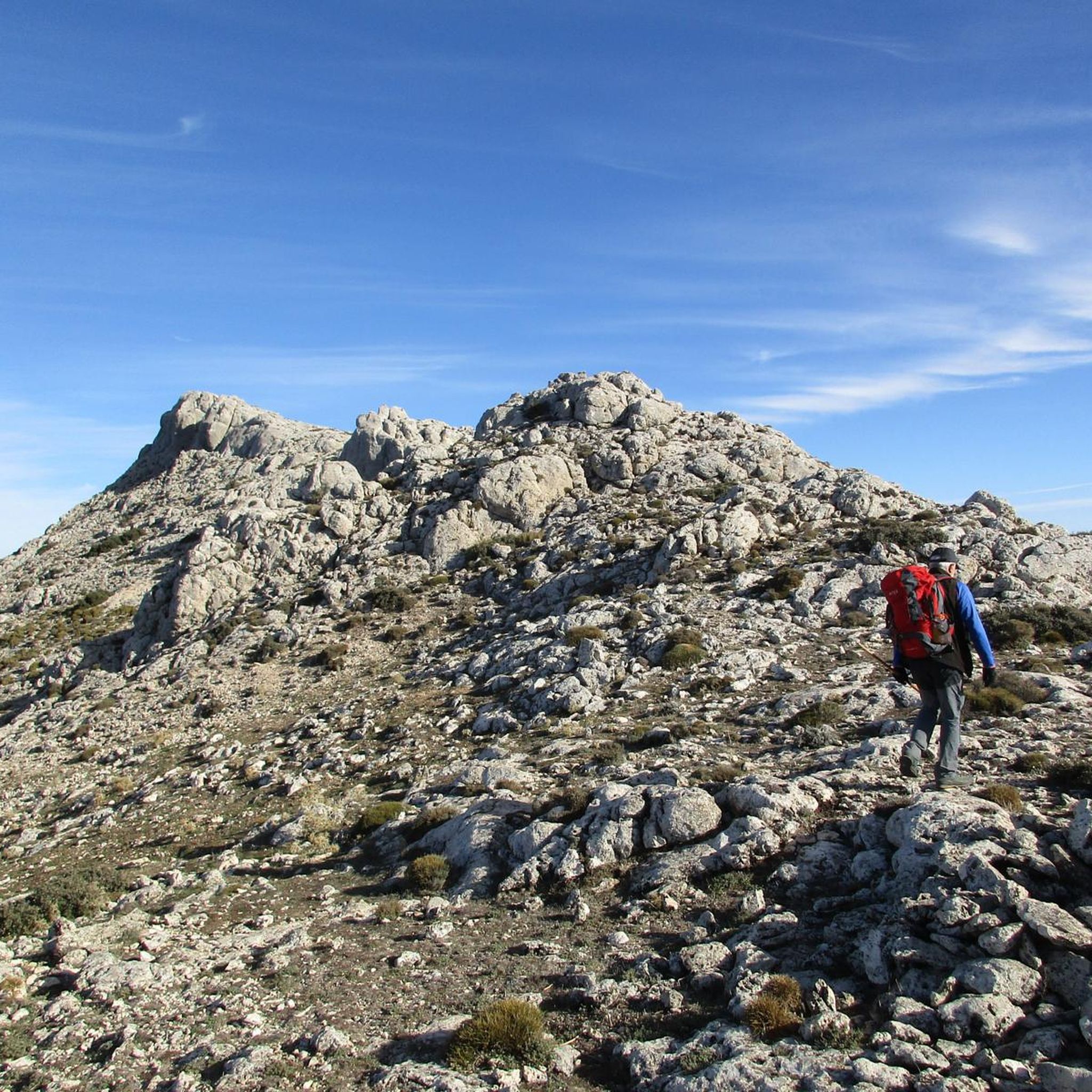
This cave is one of the most outstanding in the Sierra de Huétor Natural Park, you can easily access its main caverns closest to the outside and contemplate the imposing columns that support it.
2
0
Casa Hogar de FAISEM “Los Peñoncillos”, open since 2021. The place was previously a forest house. It has twenty places for stays between one and three months. FAISEM is the Andalusian Public Foundation for the Social Integration of People with Mental Illness.
2
0
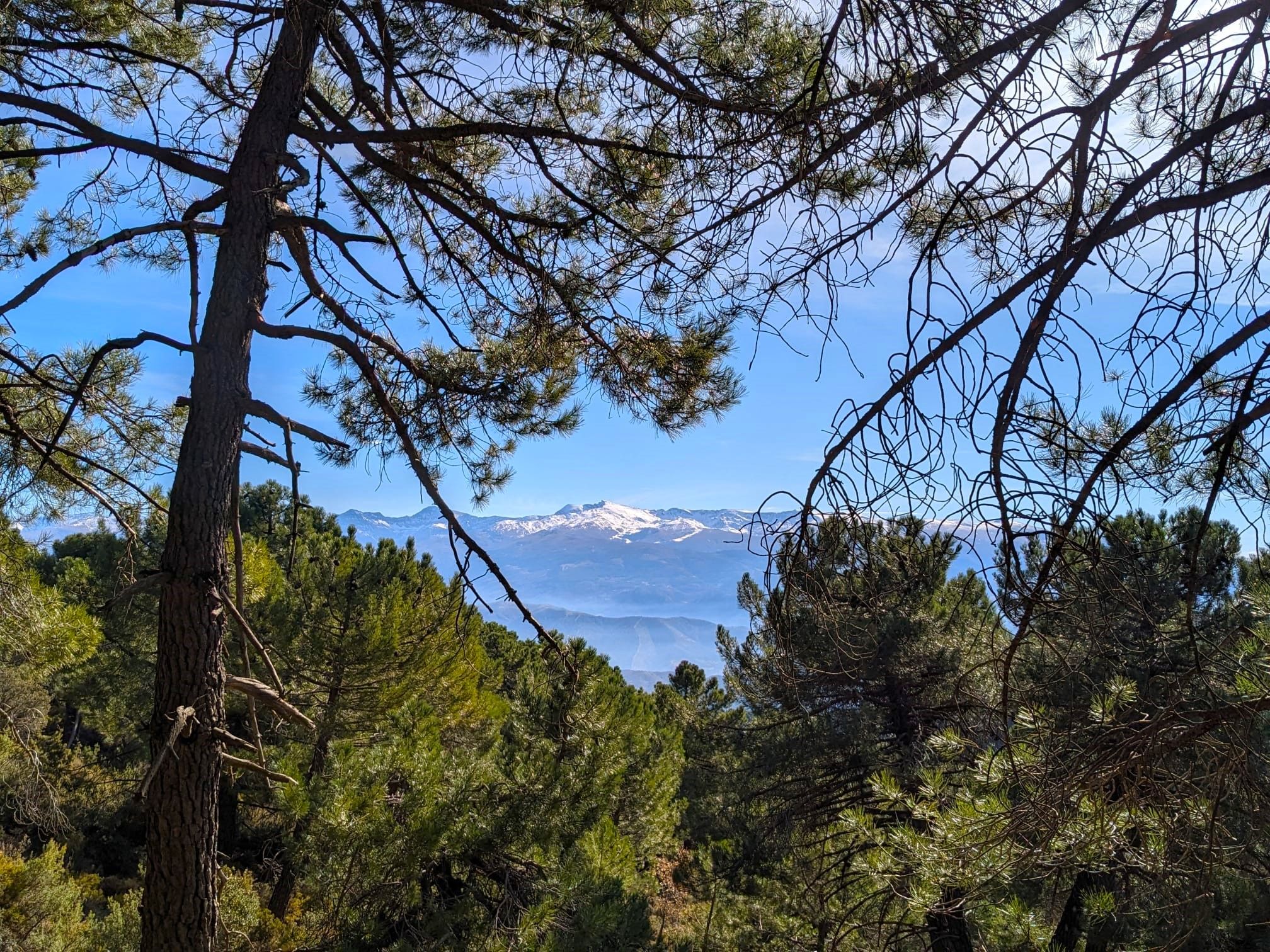
Impressive views of the Sierra de Huétor Natural Park at your feet and in the distance the highest peaks of Sierra Nevada, with snow for many months of the year.
1
1
Curious and recommendable cave with vertical formations that look like columns. This is a popular destination among hikers in the Sierra de Huétor Natural Park.
1
0

I call this rock on the road "the gorilla"
1
0

Path parallel to the Barranco de Polvorite.
4
1
Frequently Asked Questions
What kind of terrain can I expect on the running routes in Sierra de Huétor?
Sierra de Huétor offers a diverse landscape for runners, characterized by mid-mountain ranges and varied topography, with elevations ranging from 900 to 1,900 meters above sea level. You'll find extensive pine forests, as well as holm oaks and gall oaks, providing shaded paths. The area's limestone geology has created dramatic features such as cliffs, caves, narrow ravines, and gorges, adding visual interest and varied surfaces to the trails.
Are there any easy or moderate jogging routes in Sierra de Huétor?
While many routes are challenging, there are options for moderate difficulty. For instance, the Barranco de Polvorite – Cemetery of Peace loop from Casa Forestal Los Peñoncillos is a moderate 11.0 km trail. Another moderate option is the Running loop from Puerto Lobo - El Sotillo, which is about 4.8 km. The park also features easier walks like the 3km circular walk around Cerro del Maúllo mentioned in regional research, though specific komoot routes for these might vary.
What are some notable natural features or landmarks I can see while running in the park?
The park is rich in natural beauty and historical sites. You can explore limestone formations like the Cave of the Marbles, or enjoy panoramic views from Los Pozos Viewpoint. The La Teja Spring is another natural highlight. For those interested in history, the Sanatorio Antituberculoso de la Alfaguara and the Maúllo Trench offer glimpses into the past.
Are there any circular running routes available in Sierra de Huétor?
Yes, several routes are circular. A popular option is the Parque Natural Sierra de Huétor – trail running circular to Mirador de la Mina via Cueva de los Mármoles and Cañada del Sereno, which is a 15.2 km trail. Another circular route is the Cemetery of Peace – Barranco de Polvorite loop from Puerto Lobo - El Sotillo, a challenging 22.8 km path.
What do other runners say about the trails in Sierra de Huétor?
The running routes in Sierra de Huétor are highly rated by the komoot community, with an average score of 4.4 stars from over 70 reviews. More than 3000 runners have used komoot to explore the park's varied terrain, often praising the extensive pine forests, dramatic limestone formations, and scenic river valleys.
Can I find routes with good viewpoints in Sierra de Huétor?
Absolutely. Many trails offer superb vistas. For example, the Parque Natural Sierra de Huétor – trail running circular to Mirador de la Mina via Cueva de los Mármoles and Cañada del Sereno provides views towards Mirador de la Mina. From various points in the park, including areas near Víznar, you can also enjoy magnificent panoramic views of the Sierra Nevada National Park.
How many running routes are there in Sierra de Huétor?
There are over 20 dedicated running routes in Sierra de Huétor listed on komoot, offering a range of distances and difficulties to suit different preferences.
Are there any historical sites along the running trails?
Yes, the park has a rich history. You can find routes that pass by historical sites such as the Sanatorio Antituberculoso de la Alfaguara and the Maúllo Trench, which are remnants from the Spanish Civil War. These add a unique historical dimension to your run.
What is the best time of year for jogging in Sierra de Huétor?
The lush forests, particularly the pine forests, provide shaded paths, which can be especially appealing for jogging during warmer periods. The park's undulating, forest-clad landscape offers superb vistas, particularly spectacular with winter snow cover on the Sierra Nevada, making it beautiful year-round. Spring and autumn generally offer milder temperatures ideal for running.
Are there any routes that explore the Barranco de Polvorite area?
Yes, the Barranco de Polvorite area is featured in several routes. The Cemetery of Peace – Barranco de Polvorite loop from Puerto Lobo - El Sotillo is a challenging 22.8 km path that explores this area. Another option is the Barranco de Polvorite – Cemetery of Peace loop from Casa Forestal Los Peñoncillos, a moderate 11.0 km trail.
What kind of natural water sources can I find in the park?
Sierra de Huétor is the source of the Darro and Fardes rivers, and features abundant springs like Fuente Grande de Alfacar. The presence of water shapes the landscape and creates picturesque riverside routes. Joggers can even refill water bottles at the source of the Darro River, providing convenient hydration points along some trails.
Most popular routes in Sierra De Huétor
Most popular attractions in Sierra De Huétor

Get inspired with the komoot mobile app


Explore more
Browse the best Running Trails & Routes in other regions.
