The best MTB trails in Alto Guadalquivir
3.7
(42)
485
riders
22
rides
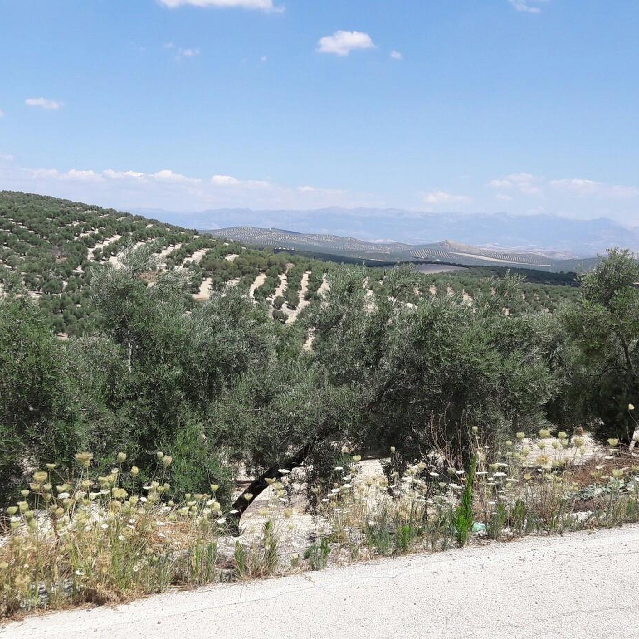
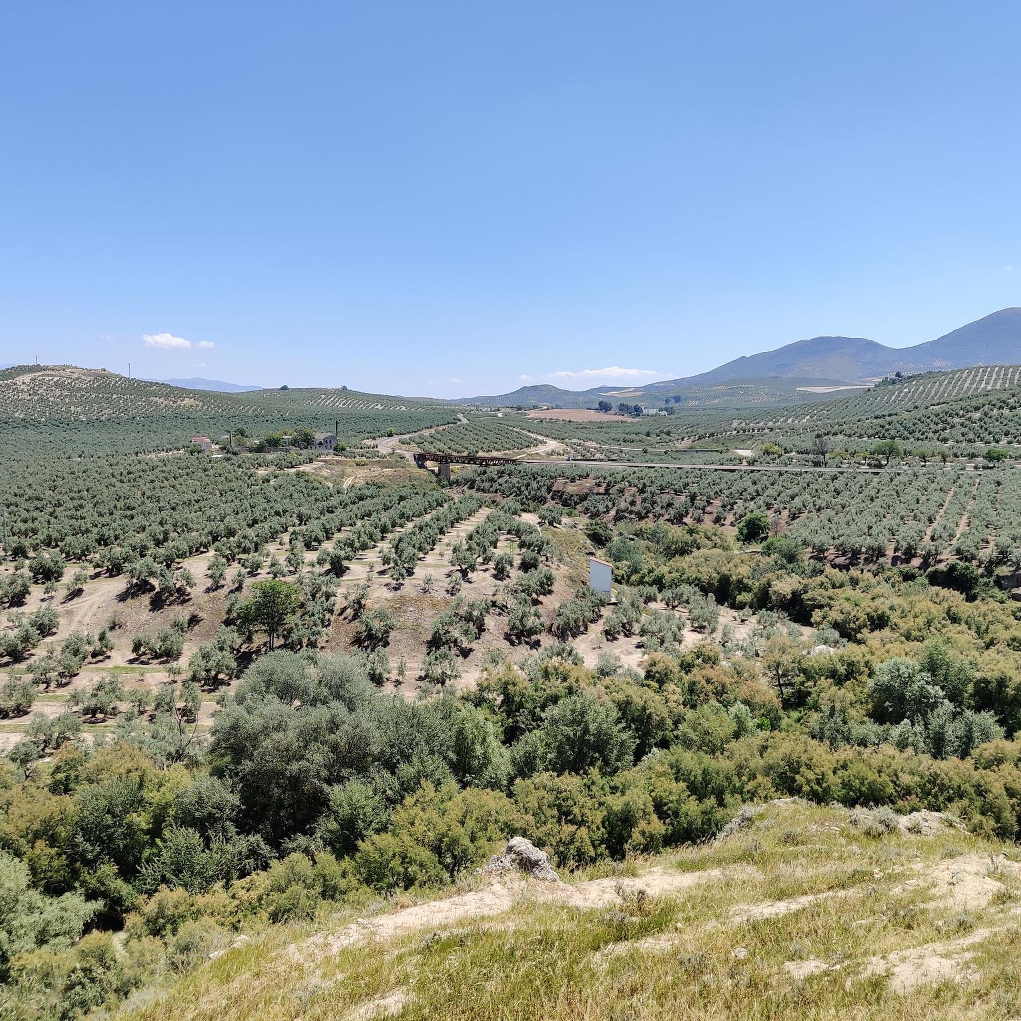
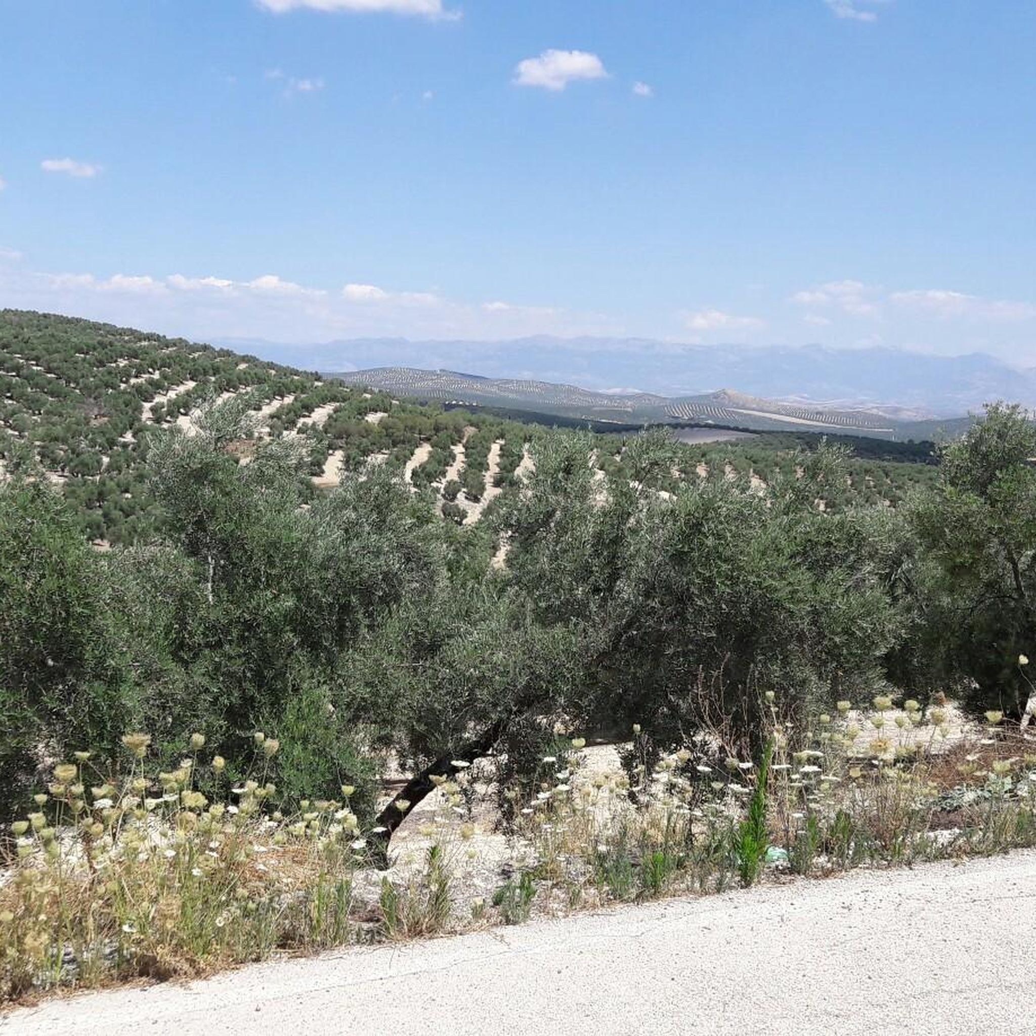
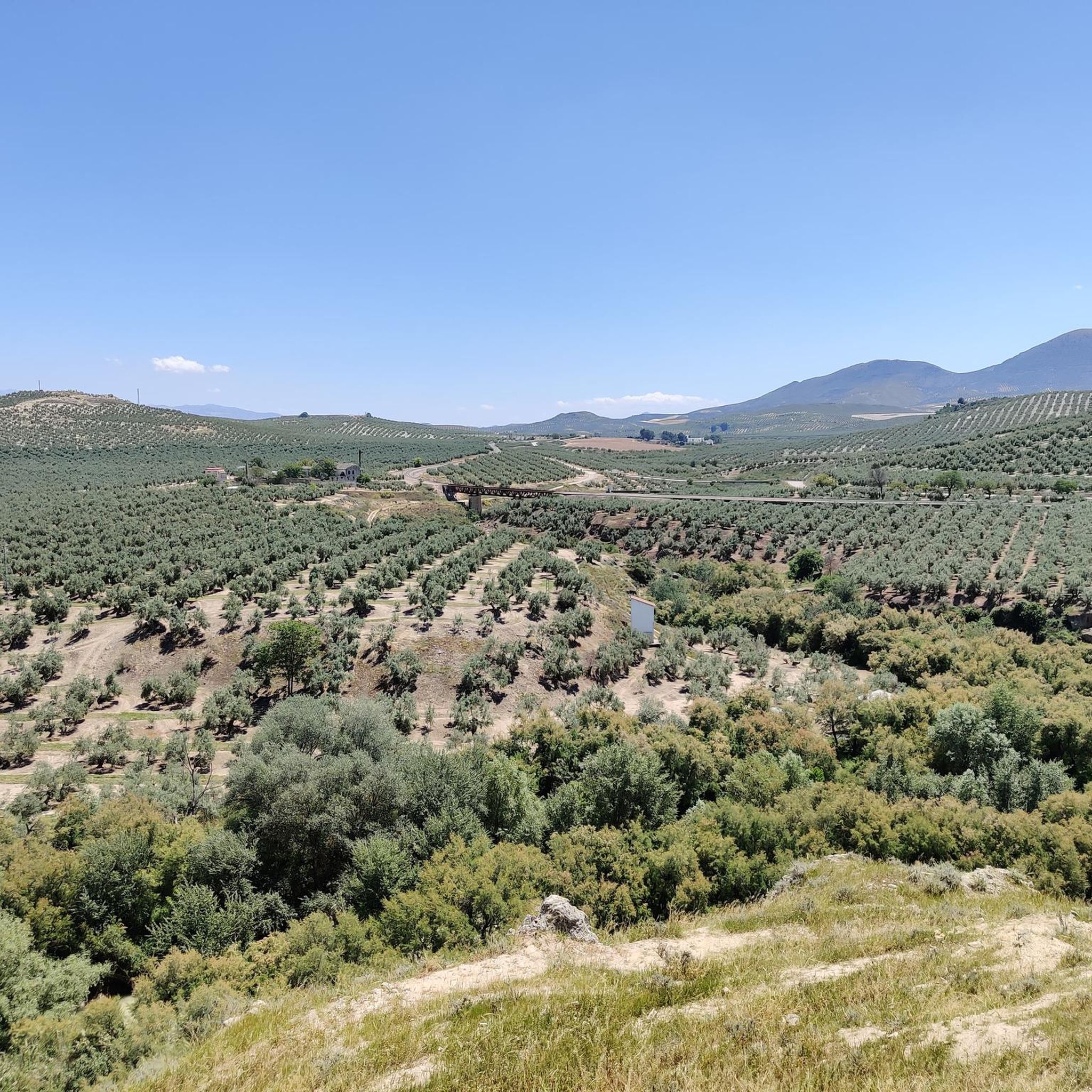
Mountain biking in Alto Guadalquivir offers diverse terrain across its varied landscapes, including the rugged Sierra Morena foothills, fertile plains, and rolling countryside. The region is characterized by the Guadalquivir River and its associated wetlands, alongside extensive olive groves and cultivated valleys. These features provide a range of mountain bike trails suitable for different skill levels.
Best mountain bike trails in Alto Guadalquivir
- The most popular mountain bike trail is Path of Life Loop, a 12.9 miles (20.7 km)…
Last updated: June 27, 2026
2
riders
20.7km
01:27
140m
140m
Easy mountain bike ride. Great for any fitness level. Suitable for all skill levels.
32
riders
72.3km
06:50
1,800m
1,800m
Hard mountain bike ride. Very good fitness required. Advanced riding skills necessary. Some portions of the route may require you to push your bike.

Sign up for free
5.0
(1)
17
riders
51.9km
04:35
1,140m
1,140m
Hard mountain bike ride. Very good fitness required. Advanced riding skills necessary. Some portions of the route may require you to push your bike.
5
riders
44.5km
02:57
710m
710m
Moderate mountain bike ride. Good fitness required. Suitable for all skill levels.
6
riders
43.8km
04:03
1,030m
1,030m
Hard mountain bike ride. Very good fitness required. Suitable for all skill levels.
Get access to more routes and recommendations from other explorers.
Sign up for free
Already have an account?
Our route recommendations are based on thousands of hikes, rides, and runs completed by other people on komoot.
Start today with a free account
Your next adventure awaits.
Login or Signup

Tips from the Community

From this viewpoint, we will have the opportunity to contemplate a beautiful panorama in which the castle of Las Cinco Esquinas stands out on the left, located on the Loma del Castillo. In front is the castle of La Yedra together with the urban center of Cazorla. And to the right, Pollos de la Escaleruela, Cerro de la Laguna, and Peña de los Halcones can be seen.
0
0
El Refugio del Collado Zamora (often associated with the route to Gilillo) is a rehabilitated forest refuge located in the Sierra de Cazorla, key to the GR-247 trail. It is frequently used as a starting point or stopover to ascend to Gilillo or connect to areas such as Cuerda del Gilillo.
0
0

Cazorla is a gateway to the vast Sierras de Cazorla, Segura y Las Villas Natural Park, renowned for its natural beauty, rich biodiversity and the Guadalquivir River which rises there
15
0
If you like cycling
5
0

The source of the Cuadros River is a place of great natural beauty located in the Sierra Mágina Natural Park, near Bedmar and Garcíez. This source, also known as the Sistillo, is one of the highlights of the Oleander Route.
5
0
The Cuadros oleander trail in Bedmar and Garcíez includes a short tunnel, approximately 10 meters long, which is part of the route. This tunnel runs parallel to a irrigation ditch and connects to the access slope to the Cuadros Sanctuary.
5
0

Nothing, it's a pantomime created to win points, as we used to say in Andalusia, ni na de na!
0
0

The square marks the transition between the historic centre and the extensions that were realised from the 19th century onwards. The Plaza de la Constitución is surrounded by wide streets and buildings with an eclectic and modernist architectural style. In addition, important facilities such as the post office and the town hall are located near the square.
9
0
Frequently Asked Questions
How many mountain bike trails are available in Alto Guadalquivir?
Alto Guadalquivir offers a good selection of mountain bike trails, with over 15 routes documented on komoot. These trails cater to various skill levels, from easy rides through cultivated plains to challenging routes in the Sierra Morena foothills.
Are there easy mountain bike trails suitable for beginners in Alto Guadalquivir?
Yes, there are easy mountain bike trails perfect for beginners. For instance, the Path of Life Loop is an easy 20.7 km route that navigates through the region's cultivated areas, offering pleasant views without significant elevation changes.
Where can I find challenging mountain bike trails in Alto Guadalquivir?
For experienced mountain bikers seeking a challenge, Alto Guadalquivir features several difficult routes, particularly in the Sierra Morena foothills. An example is the Prepared pine – Yedra Castle loop from Peal de Becerro, a demanding 72.1 km path with substantial elevation gain.
What kind of landscapes can I expect to see while mountain biking in Alto Guadalquivir?
Mountain biking in Alto Guadalquivir offers a diverse range of landscapes. You'll encounter the rugged terrain of the Sierra Morena foothills, the fertile plains and wetlands along the Guadalquivir River, and expansive valleys covered in olive groves, wheat, and sunflowers. This variety provides constantly changing scenic backdrops.
Are there mountain bike routes suitable for families in Alto Guadalquivir?
Families can enjoy the region's easier routes, which often traverse the gentler 'Campiña' zones and cultivated valleys. These paths provide a relaxed way to experience the picturesque agricultural landscapes, such as those around Bujalance and Cañete de las Torres.
What is the best time of year for mountain biking in Alto Guadalquivir?
The best time for mountain biking in Alto Guadalquivir is generally during the spring (March to May) and autumn (September to November). During these seasons, the weather is milder and more pleasant, avoiding the intense heat of summer and the cooler, potentially wetter conditions of winter.
Are there circular mountain bike routes available?
Yes, many routes in Alto Guadalquivir are designed as loops, allowing you to start and finish at the same point. For example, the Castillo de La Iruela – Cazorla loop from Peal de Becerro is a 51.9 km trail that takes you through mountainous landscapes and returns to your starting point.
What do other mountain bikers enjoy the most about mountain biking in Alto Guadalquivir?
The area is highly rated by the komoot community, with an average score of 3.97 stars from over 39 reviews. Mountain bikers often praise the diverse terrain, from challenging single tracks to gentle rides, and the opportunity to explore charming villages and natural features like the Guadalquivir River.
Are there any notable natural features or viewpoints along the mountain bike trails?
Absolutely. The region is rich in natural features. You can explore the Alto Guadalquivir Natural Reserve with its unique marshy ecosystems and abundant birdlife, or ride through the foothills of Sierra Morena. Scenic viewpoints, such as the Puerto de las Palomas, offer breathtaking vistas of the Guadalquivir River valley.
Can I find mountain bike routes that pass through historical sites or charming villages?
Yes, the mountain biking experience in Alto Guadalquivir often includes cultural exploration. The officially approved Circuito Cicloturista BTT Alto Guadalquivir, for instance, connects municipalities like Bujalance, Montoro, and Villa del Río, allowing riders to discover local culture and history alongside their ride.
Are there any longer mountain bike tours for multi-day adventures?
While specific multi-day tours aren't detailed here, the region's extensive Circuito Cicloturista BTT Alto Guadalquivir spans approximately 130 kilometers and is divided into eight stages. This structure lends itself well to multi-day adventures, allowing you to explore different sections and stay in the charming villages along the way.
What is the typical duration for mountain bike trails in Alto Guadalquivir?
Trail durations vary significantly based on distance and difficulty. For example, an easy route like the Path of Life Loop (20.7 km) can be completed in under 1.5 hours, while a difficult 72.1 km path like the Prepared pine – Yedra Castle loop from Peal de Becerro might take over 6 hours.
Most popular routes in Alto Guadalquivir

Get inspired with the komoot mobile app


Explore more
Browse the best MTB trails in other regions.
