The best walks and hikes in Bajo Guadalquivir
4.3
(937)
8,065
hikers
494
hikes
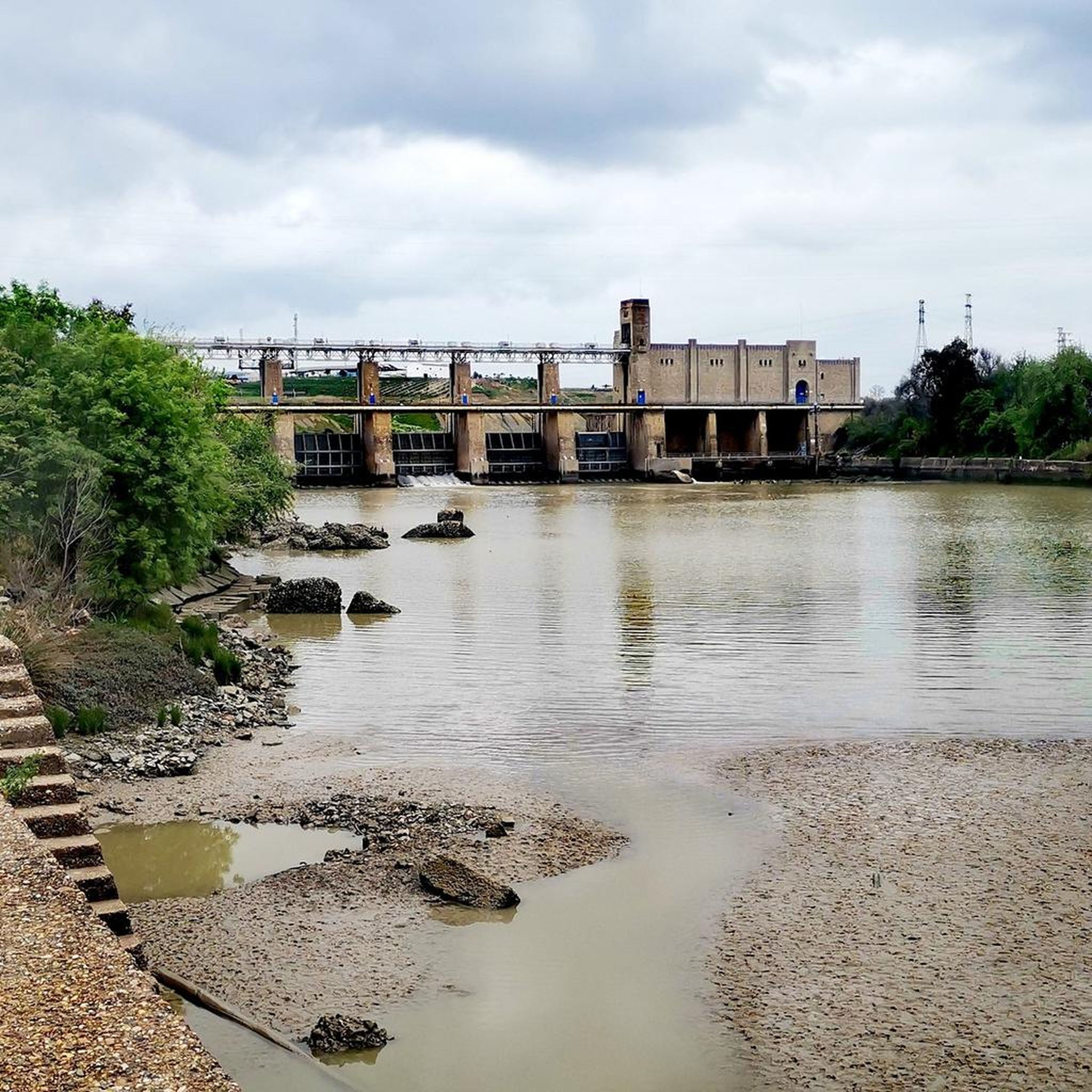
Hiking in Bajo Guadalquivir offers routes through the flat, fertile plains of the Guadalquivir River basin in Andalusia, Spain. The landscape is characterized by agricultural fields, wetlands, and riverine ecosystems, providing a distinct environment for outdoor activities. Elevation changes are generally minimal, with trails often following the riverbanks or traversing open countryside. This region provides opportunities for easy day hikes Bajo Guadalquivir, focusing on its unique natural and agricultural heritage.
Best hiking trails in Bajo Guadalquivir
- The most popular hiking…
Last updated: August 28, 2026
8
hikers
Moderate hike. Good fitness required. Easily-accessible paths. Suitable for all skill levels.
5.0
(2)
45
hikers
Easy hike. Great for any fitness level. Easily-accessible paths. Suitable for all skill levels.

Sign up for free
4.3
(3)
28
hikers
Moderate hike. Good fitness required. Easily-accessible paths. Suitable for all skill levels.
4.5
(2)
15
hikers
9.40km
02:23
20m
20m
Moderate hike. Good fitness required. Easily-accessible paths. Suitable for all skill levels.
13
hikers
Moderate hike. Good fitness required. Easily-accessible paths. Suitable for all skill levels.
Get access to more routes and recommendations from other explorers.
Sign up for free
Already have an account?
Our route recommendations are based on thousands of hikes, rides, and runs completed by other people on komoot.
Start today with a free account
Your next adventure awaits.
Login or Signup
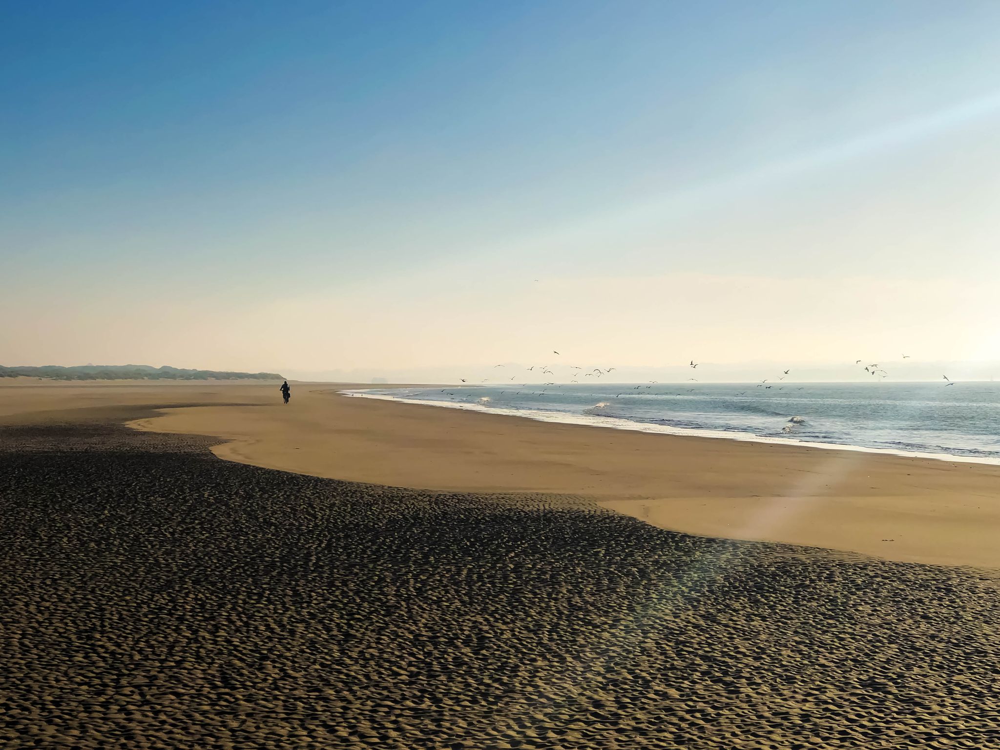
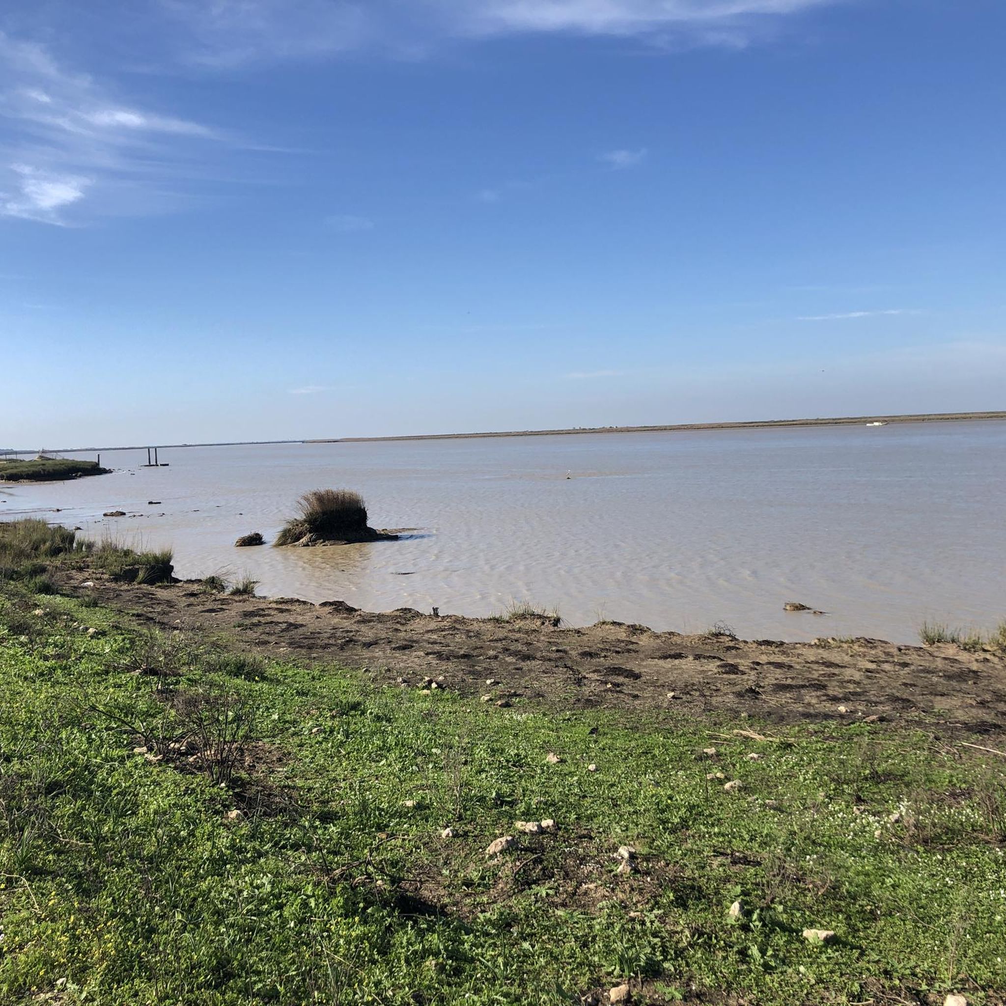
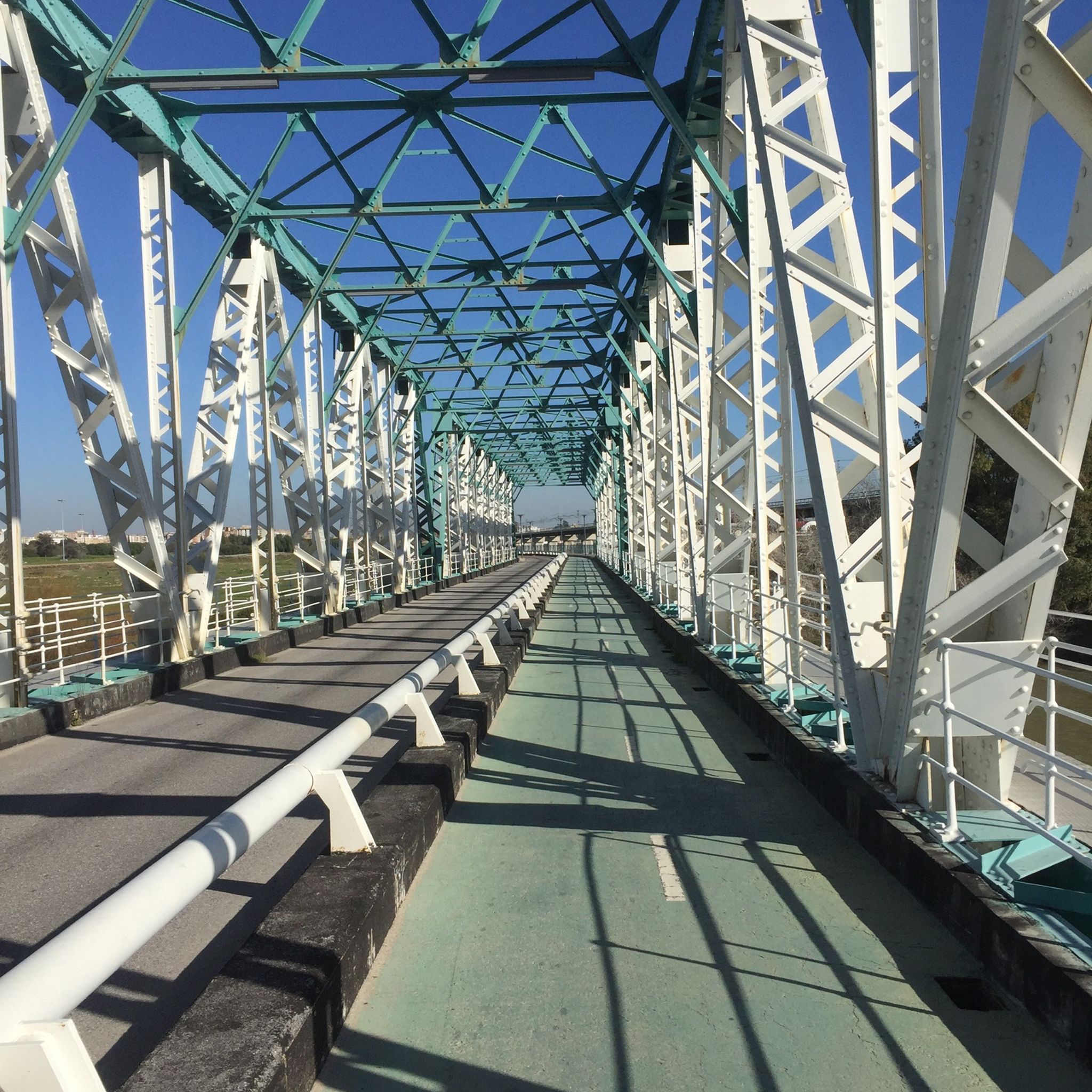
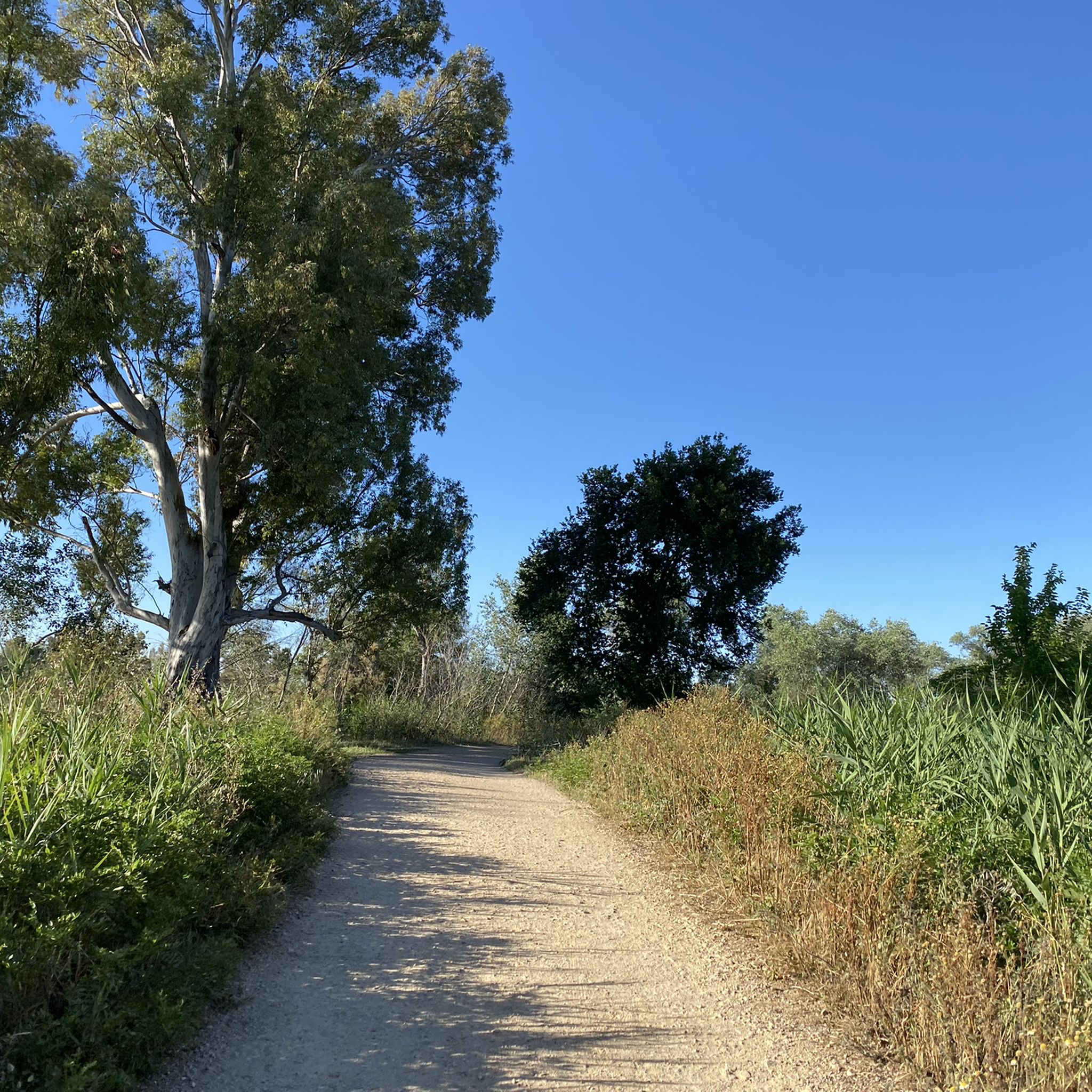
Other adventures in Bajo Guadalquivir

Tips from the Community


The Puente del Alamillo is an impressive cable-stayed bridge in Seville, Spain, designed by renowned architect Santiago Calatrava. The bridge was built for the Expo '92 and spans the Guadalquivir River. It is a unique cantilever spar cable-stayed bridge without back supports, with a height of 140 metres and a span of 200 metres.
9
0
The Columbus Monument, also known as the Egg of Columbus, is an impressive monument located on the Paseo de Catalina de Ribera in the Santa Cruz district of Seville. The monument was built in 1921 and is a tribute to the famous explorer Christopher Columbus. The monument consists of a base and two stone columns, with bronze caravels in the center and bronze plaques with the names of Isabella and Ferdinand on the sides. On the base are two marble medallions with the chest of Columbus and the coat of arms of the Catholic Monarchs1. On top is a lion with a sphere.
2
2

The monument "Nacimiento de Un Hombre Nuevo" pays tribute to the famous sailor CHRISTOPH COLUMBUS (born around 1451, died 1506). He undertook his great voyages of discovery, which make him famous to this day - from the European mainland across the Atlantic to the west and looking for the sea route to India - on behalf of the Spanish crown, but he was born in Genoa (Italy). However, the name of the huge double continent that he discovered in 1492 (without even suspecting this) was borrowed from another explorer: his contemporary AMERIGO VESPUCCI became the namesake for America.
5
0

Great walkway that connects the San Jerónimo park and the Alamillo park!
0
0
Walk that is next to the Río Guadalquivir in a park full of green spaces and paths where you can run in peace. The area is beautiful!
0
0
Walk that is close to the town of Coria del Río and that goes in the direction of La Puebla del Río. The area is very good for running and training always watching the Río Guadalquivir!
0
0
Beautiful square that is in front of the Chapel of Nuestra Señora de la Soledad and where it contains the typical colors of this area of the province of Seville, white and yellow stripes.
1
0
Frequently Asked Questions
What kind of terrain can I expect when hiking in Bajo Guadalquivir?
The Bajo Guadalquivir region is characterized by its flat, fertile plains along the Guadalquivir River. You'll find trails traversing agricultural fields, wetlands, and riverine ecosystems. Elevation changes are generally minimal, making for mostly gentle walks along riverbanks or through open countryside.
How many hiking trails are available in Bajo Guadalquivir?
There are over 400 hiking routes available in Bajo Guadalquivir on komoot. The majority, around 260, are classified as easy, with about 160 moderate routes and a smaller selection of 12 difficult trails for those seeking more challenge.
Are there easy hiking options suitable for beginners or casual walkers?
Yes, Bajo Guadalquivir offers a wide range of easy day hikes. Many routes follow the flat riverbanks or coastal areas. An example is The Beach – Playa de Sanlúcar de Barrameda loop from Sanlúcar de Barrameda, which is an easy 4.3-mile (7.0 km) trail through coastal areas.
Are there any circular hiking trails in Bajo Guadalquivir?
Yes, many routes in Bajo Guadalquivir are circular, allowing you to start and end at the same point. A popular circular option is From Coria del Rio promenade to La Isleta quarry - circular along the banks of the Guadalquivir River, a 9.3-mile (15.0 km) route following the riverbanks.
What are the typical lengths and durations of hikes in Bajo Guadalquivir?
Hikes in Bajo Guadalquivir vary in length, but many are suitable for day trips. For instance, the popular Coria del Rio promenade to La Isleta quarry loop is about 9.3 miles (15.0 km) and takes around 3 hours 50 minutes. Shorter options like The Beach – Playa de Sanlúcar de Barrameda loop are 4.3 miles (7.0 km) and can be completed in under 2 hours.
What can I see along the hiking trails in Bajo Guadalquivir?
Many trails in Bajo Guadalquivir follow the historic Guadalquivir River, offering views of its banks and surrounding landscapes. You might encounter various bridges, such as the Bridge over the Guadalquivir River or the San Juan Bridge. The region also features unique natural areas like the Doñana Marshes, known for their biodiversity.
Are there any less crowded trails for a more peaceful hiking experience?
While specific 'hidden gems' are often discovered by local exploration, focusing on trails slightly away from major urban centers or popular coastal stretches can offer more solitude. Look for routes that delve deeper into the agricultural landscapes or less-trafficked sections of the riverbanks for a quieter experience.
What do other hikers enjoy most about the trails in Bajo Guadalquivir?
The trails in Bajo Guadalquivir are highly rated by the komoot community, with an average score of 4.2 stars from over 800 reviews. Hikers often praise the region's unique riverine paths, the peaceful agricultural landscapes, and the accessibility of many routes for various fitness levels.
Are there any challenging or difficult hikes in Bajo Guadalquivir?
While the region is generally flat, there are a few more challenging options available. For example, the Playa de la Jara – Playa de Sanlúcar de Barrameda loop from Sanlúcar de Barrameda is a difficult 12.8-mile (20.6 km) route that can take over 5 hours to complete, offering a longer and more demanding coastal experience.
Are there any routes that explore urban landscapes or historical landmarks?
Yes, some routes blend natural scenery with urban exploration. The Tower of Gold – The Giralda and the cathedral loop from Cartuja is a moderate 9.9-mile (16.0 km) path that explores urban landscapes and historical landmarks along the Guadalquivir, offering a different perspective on the region.
What is the best season for hiking in Bajo Guadalquivir?
The best seasons for hiking in Bajo Guadalquivir are typically spring (March to May) and autumn (September to November). During these periods, temperatures are milder and more pleasant for outdoor activities, avoiding the intense heat of summer and the occasional cooler, wetter days of winter. Spring also brings blooming wildflowers to the agricultural landscapes.
Are there any trails with good viewpoints in Bajo Guadalquivir?
Given the region's flat topography, dramatic mountain viewpoints are not common. However, many trails offer expansive views across the open plains, the winding Guadalquivir River, and its wetlands. Routes along the riverbanks, such as the San Jerónimo Footbridge – Alamillo Bridge loop from Estadio Olímpico, provide scenic vistas of the water and surrounding agricultural areas.
Most popular routes in Bajo Guadalquivir
Most popular attractions in Bajo Guadalquivir

Get inspired with the komoot mobile app


Explore more
Browse the best Hikes in other regions.
