The best walks and hikes around Río Iro
4.5
(551)
2,941
hikers
112
hikes
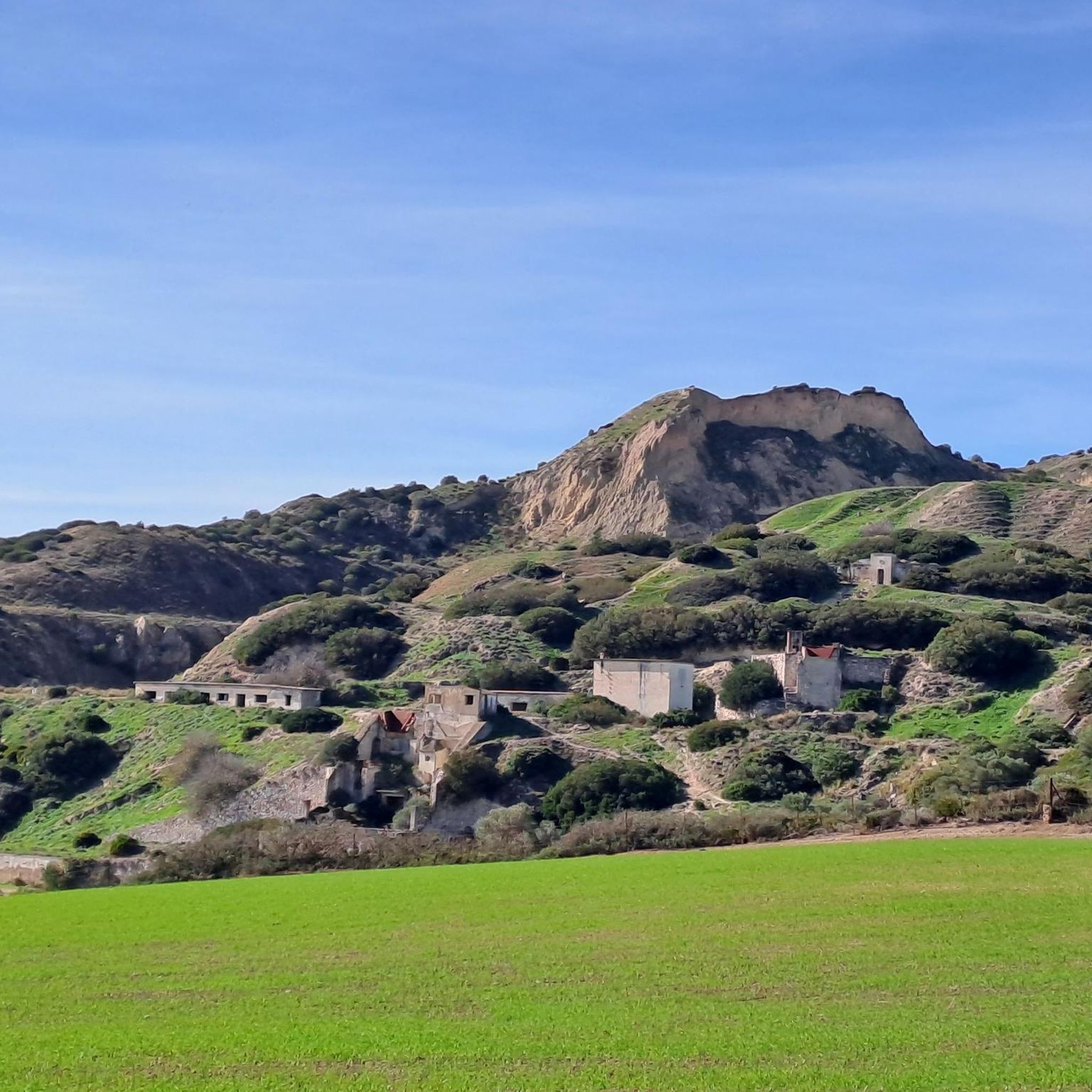
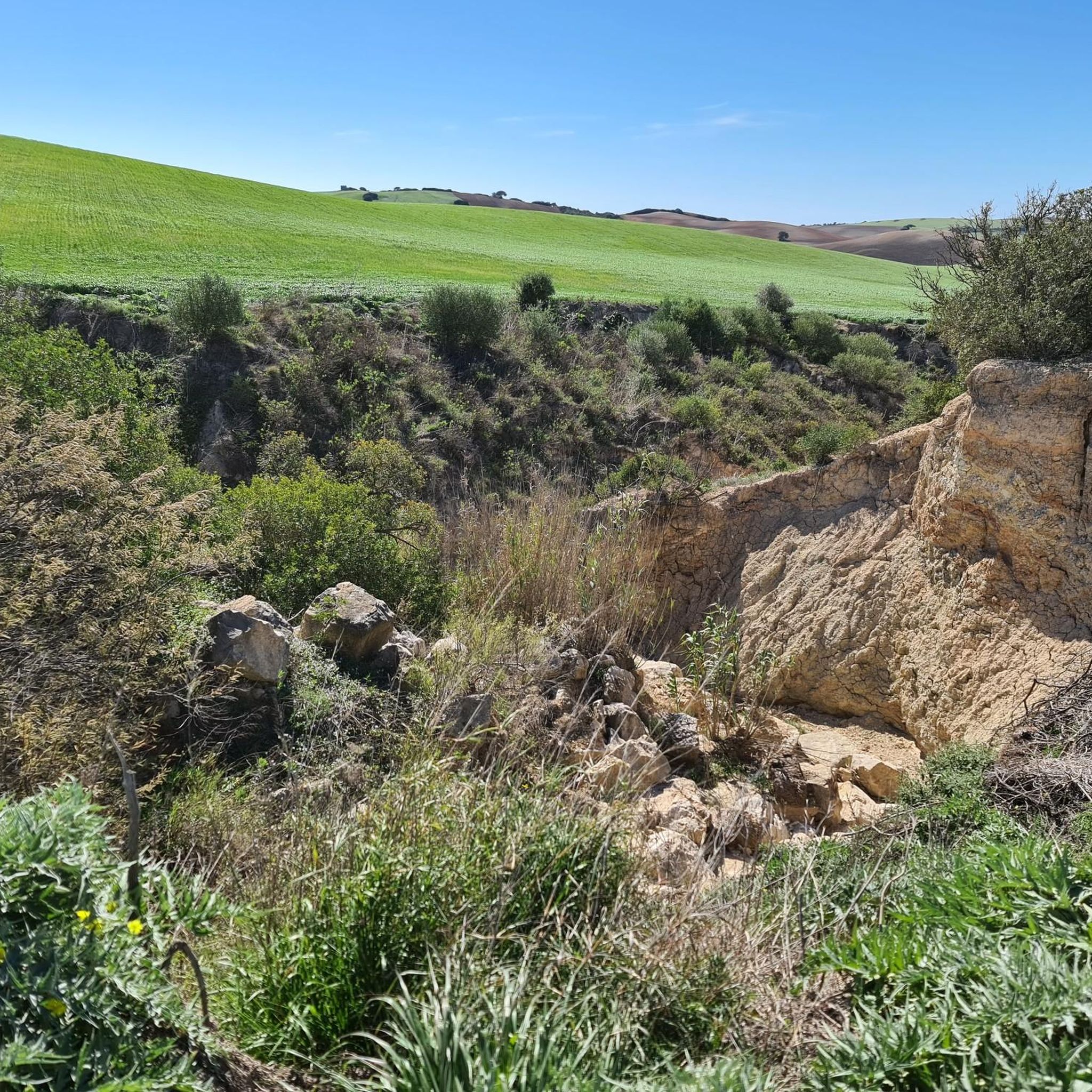
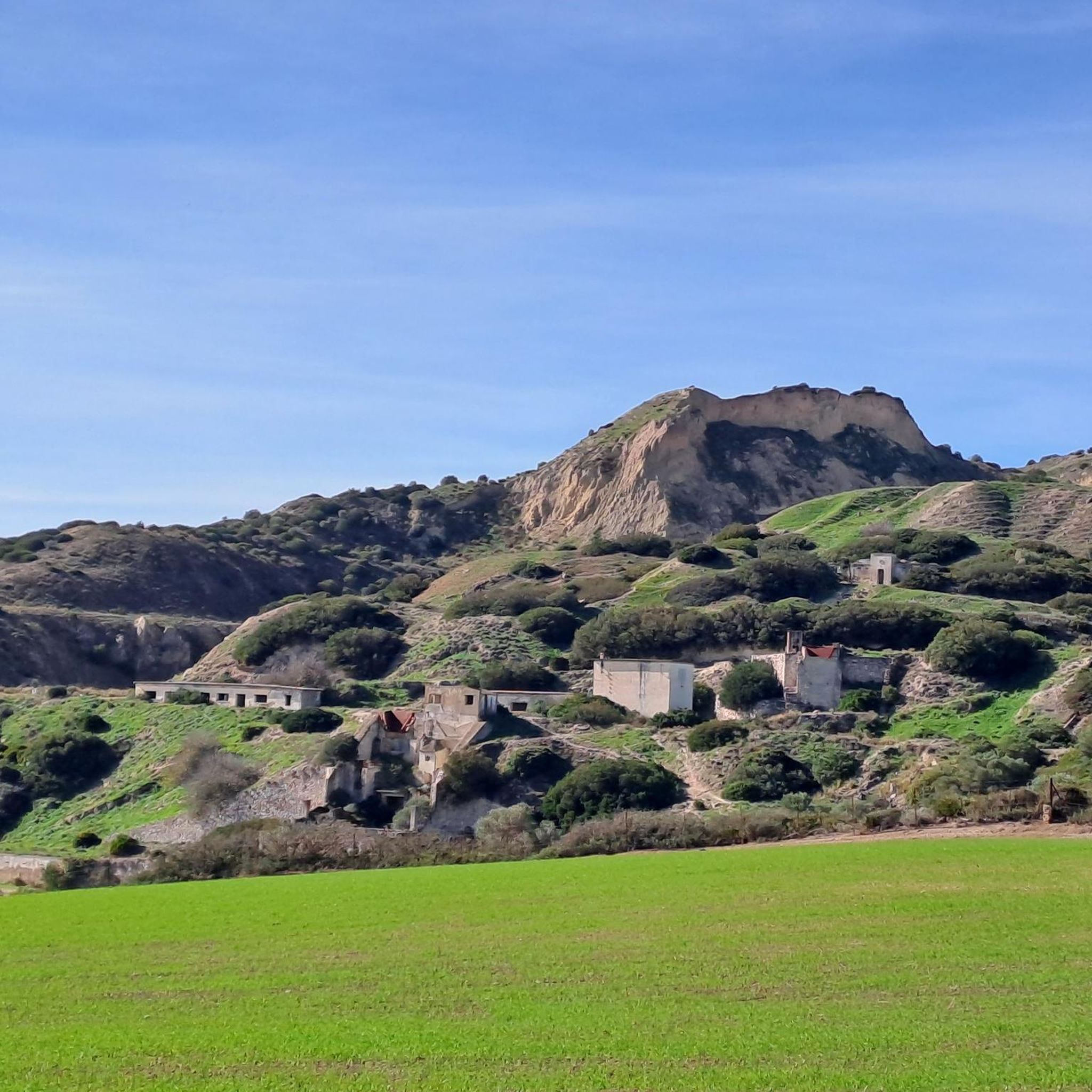
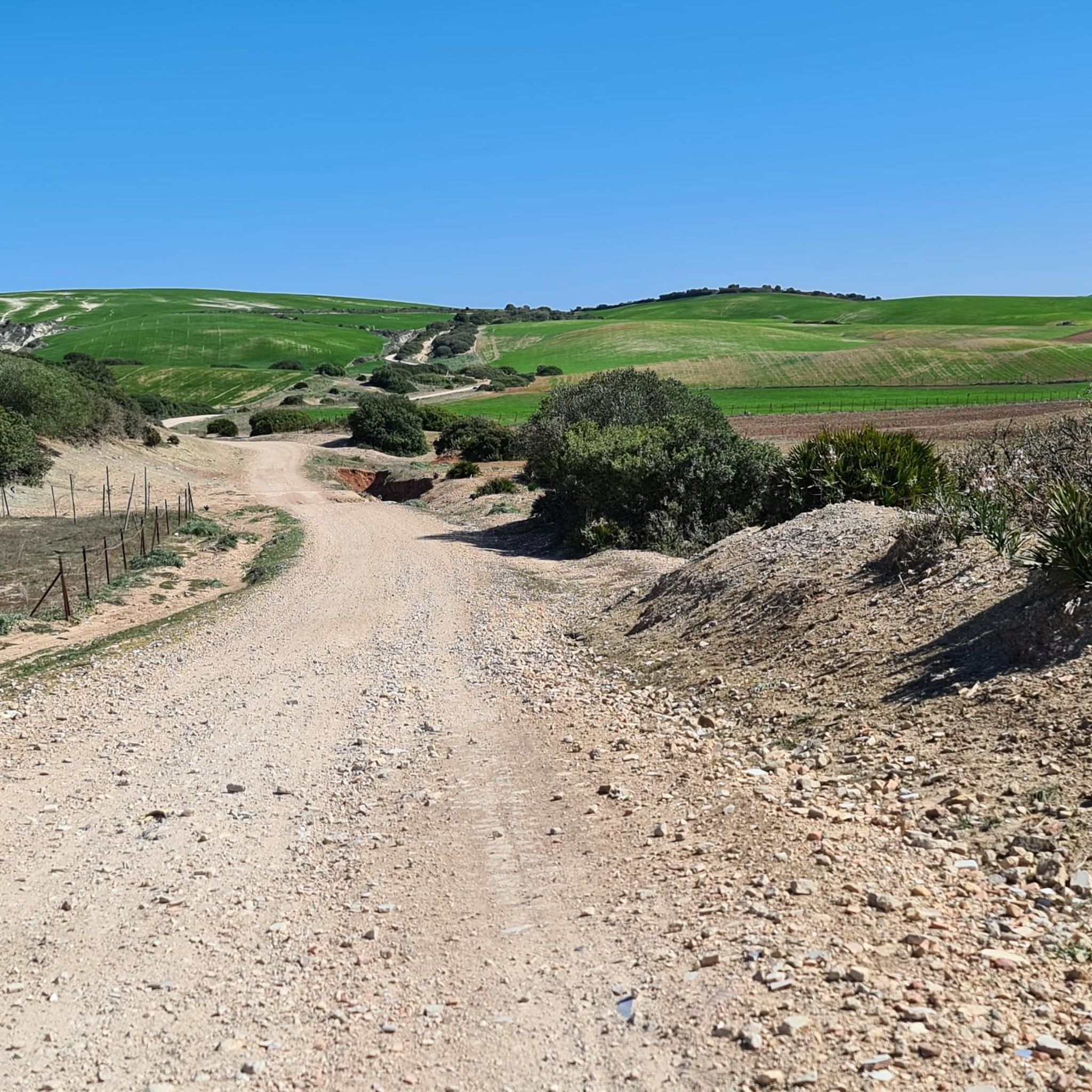
Hiking around Río Iro offers a diverse landscape characterized by its proximity to coastal areas and historical towns. The region features generally low elevations, with some routes including gentle inclines. Trails often traverse areas near the river, agricultural lands, and historical sites, providing varied scenery for hikers.
Best hiking trails in Río Iro
- The most popular hiking route is Salina Santa María de Jesús – Statue of Melkart loop from Nuestra Señora de los Remedios, an 8.5 miles (13.7…
Last updated: July 4, 2026
4.3
(19)
67
hikers
Moderate hike. Good fitness required. Easily-accessible paths. Suitable for all skill levels.
4.5
(4)
21
hikers
Moderate hike. Good fitness required. Easily-accessible paths. Suitable for all skill levels.

Sign up for free
4.8
(6)
9
hikers
11.0km
03:09
270m
270m
Moderate hike. Good fitness required. Easily-accessible paths. Suitable for all skill levels.
10
hikers
12.0km
03:08
90m
80m
Moderate hike. Good fitness required. Easily-accessible paths. Suitable for all skill levels.
5.0
(2)
10
hikers
6.30km
01:39
50m
50m
Easy hike. Great for any fitness level. Easily-accessible paths. Suitable for all skill levels.
6
hikers
7.68km
01:59
40m
40m
Easy hike. Great for any fitness level. Easily-accessible paths. Suitable for all skill levels.
7
hikers
15.8km
04:08
110m
110m
Moderate hike. Good fitness required. Easily-accessible paths. Suitable for all skill levels.
3.0
(1)
5
hikers
9.48km
02:44
230m
220m
Moderate hike. Good fitness required. Easily-accessible paths. Suitable for all skill levels.
2
hikers
8.48km
02:13
70m
70m
Moderate hike. Good fitness required. Easily-accessible paths. Suitable for all skill levels.
5.0
(3)
6
hikers
3.65km
01:02
80m
90m
Easy hike. Great for any fitness level. Easily-accessible paths. Suitable for all skill levels.
Get access to more routes and recommendations from other explorers.
Sign up for free
Already have an account?
Our route recommendations are based on thousands of hikes, rides, and runs completed by other people on komoot.
Start today with a free account
Your next adventure awaits.
Login or Signup

Tips from the Community

Next to the bridge is an amphora on a pole in the water, apparently Phoenician or Roman. One of the millions of amphorae made in this region.
1
1

A fascinating interactive journey through time that allows you to learn more about the Phoenician-Punic origins of the city of Chiclana, the 3000-year-old foundation of Cadiz and the settlements on its bay, as well as its rich historical heritage.
1
0

Hiking and cycling allowed
3
1

Here you can visit the Salinas, eat fish 🐟 and also take a salt bath 🧂
0
0
Entrance to an interesting salt museum, with shop and restaurant and healthy natural baths.
2
1
One of the 10 statues on the Melkart route. Tribute to the Phoenician origins of Chiclana de la Frontera.
1
1
Nice remains of the salt industry, I noticed that it rusts away very quickly because I often pass by it.
2
0
Statue of Melkart, made by local sculptor Antonio Aparicio Mota.
0
1
Frequently Asked Questions
How many hiking trails are available around Río Iro?
There are over 119 hiking trails available around Río Iro, offering a wide range of options for different preferences and skill levels.
What is the general difficulty level of hikes in Río Iro?
The trails around Río Iro are predominantly easy to moderate. You'll find 59 easy routes and 58 moderate routes, with only a couple of more difficult options, making it accessible for most hikers.
Are there easy hiking options suitable for beginners in Río Iro?
Yes, Río Iro offers many easy trails perfect for beginners. For example, the Castle of Medina Sidonia loop from Medina Sidonia is a short 2.3-mile (3.6 km) easy route that takes about an hour to complete, exploring historical townscapes.
Can I find short walks around Río Iro?
Absolutely. Many routes are designed for shorter excursions. The Hiking loop from Chiclana de la Frontera is an easy 3.9-mile (6.3 km) trail that can be completed in under 2 hours, offering a pleasant short walk.
What kind of scenery can I expect on hikes around Río Iro?
Hiking around Río Iro offers diverse scenery, including riverine paths, coastal influences, and historical town trails. You'll encounter salt marshes, agricultural lands, and historical landmarks like the Statue of Melkart and the Castle of Medina Sidonia.
Are there any circular walks in the Río Iro area?
Yes, many trails in the Río Iro area are circular. A popular option is the Salina Santa María de Jesús – Statue of Melkart loop from Reyes Católicos, a moderate 6.1-mile (9.8 km) path offering views of the salinas.
Are the trails around Río Iro dog-friendly?
Many trails in the Río Iro region are suitable for dogs, especially those traversing natural areas and less crowded paths. It's always recommended to keep dogs on a leash and check local regulations for specific areas, particularly near protected natural spaces or historical sites.
Are there longer distance trails for experienced hikers?
For those seeking a longer challenge, the region offers several moderate routes. The Statue of Melkart – Chiclana Seafront Promenade loop from Reyes Católicos is a 9.8-mile (15.8 km) trail that takes around 4 hours to complete, offering a more extensive hiking experience.
What do other hikers say about the trails in Río Iro?
The routes in Río Iro are highly rated by the komoot community, with an average score of 4.5 stars from over 500 reviews. Hikers often praise the varied terrain, the mix of natural beauty and historical interest, and the well-maintained paths.
Is public transport accessible for reaching hiking trails in Río Iro?
Public transport options vary by specific trailheads. While some routes might be accessible via local bus services connecting towns like Chiclana de la Frontera or Medina Sidonia, it's advisable to check local bus schedules and routes in advance for the most convenient access to your chosen starting point.
Are there cafes or pubs near the hiking trails in Río Iro?
Given the proximity to towns like Medina Sidonia and Chiclana de la Frontera, you'll find various cafes, restaurants, and pubs in these urban centers, often close to trail starting points or along routes that pass through them. These are great spots to refuel before or after your hike.
What is the best time of year to hike in Río Iro?
The best time to hike in Río Iro is typically during the spring (March to May) and autumn (September to November) when temperatures are milder and the weather is generally pleasant. Summers can be quite hot, especially inland, while winters are mild but can be wetter.
Most popular routes around Río Iro

Get inspired with the komoot mobile app


Explore more
Browse the best Hikes in other regions.
