The best running trails around Río Guadiaro
3.5
(2)
545
runners
37
runs
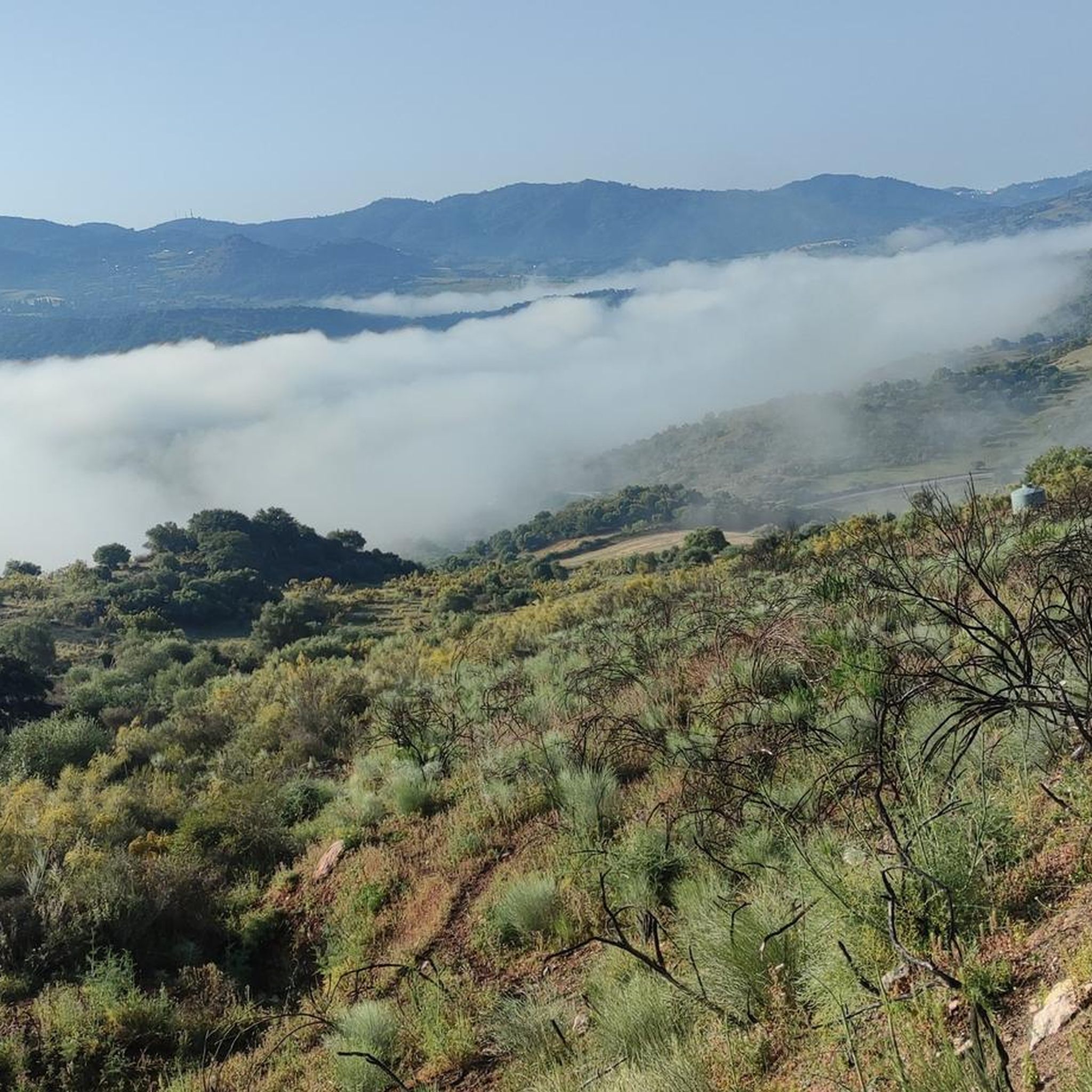
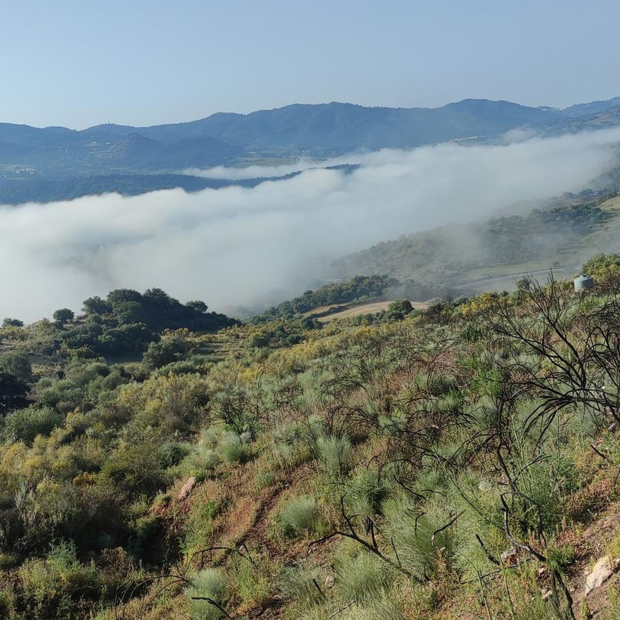
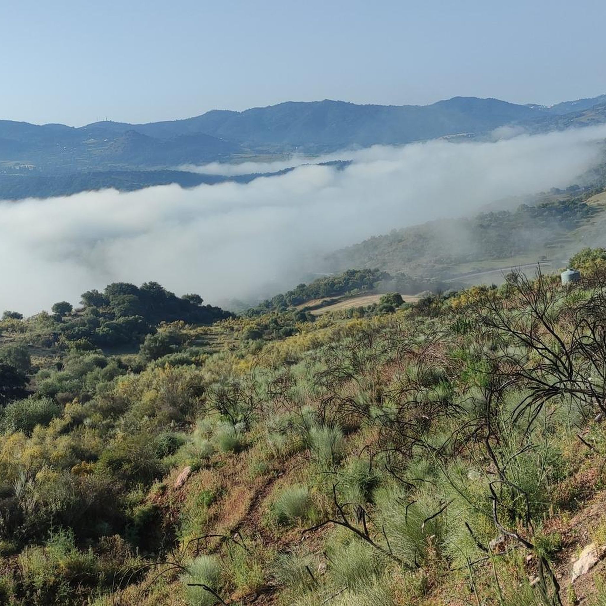
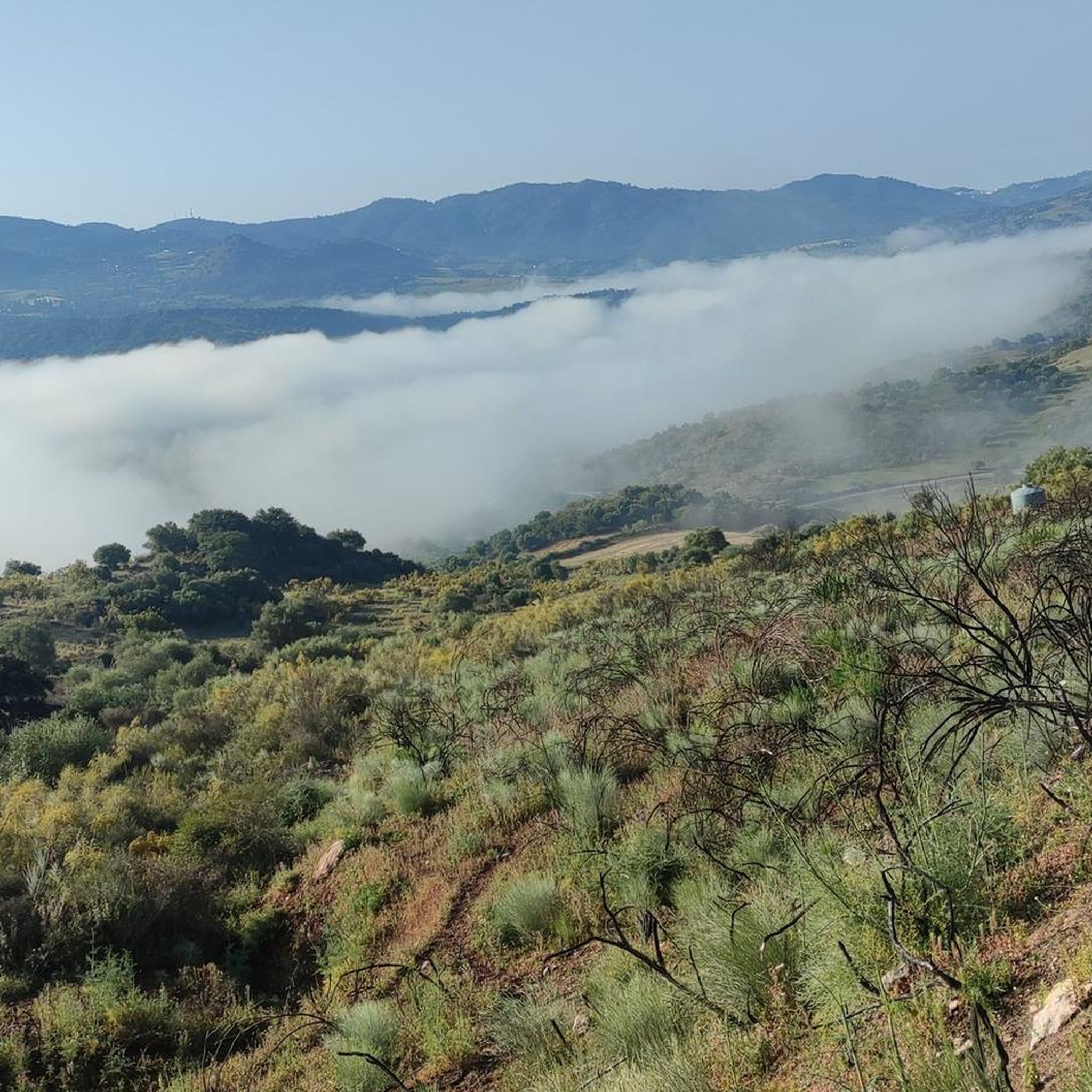
Jogging around Río Guadiaro offers diverse landscapes, from tranquil estuaries to dramatic gorges. The region, spanning the Spanish provinces of Cádiz and Málaga, features a mix of well-maintained natural areas and rugged valley terrain. Joggers can explore raised boardwalk footpaths near the river's mouth or venture into the Guadiaro Valley with its karst landscapes and oak pastures. The area provides varied backdrops for running, including river paths and routes connecting picturesque villages.
Best jogging routes around Río Guadiaro
- The most…
Last updated: August 14, 2026
54
runners
45.9km
05:35
1,190m
1,190m
Hard run. Very good fitness required. Mostly accessible paths. Some sure footedness required.
45
runners
27.3km
03:16
710m
710m
Hard run. Very good fitness required. Sure-footedness, sturdy shoes and alpine experience required.

Sign up for free
31
runners
Hard run. Very good fitness required. Mostly paved surfaces. Suitable for all skill levels.
19
runners
4.30km
00:39
210m
200m
Moderate run. Good fitness required. Mostly paved surfaces. Suitable for all skill levels.
19
runners
15.2km
02:24
900m
900m
Hard run. Very good fitness required. Sure-footedness, sturdy shoes and alpine experience required.
9
runners
13.0km
02:17
790m
790m
Hard run. Very good fitness required. Sure-footedness, sturdy shoes and alpine experience required.
8
runners
8.70km
01:01
180m
180m
Moderate run. Good fitness required. Mostly paved surfaces. Suitable for all skill levels.
8
runners
25.5km
03:50
1,240m
1,240m
Hard run. Very good fitness required. Mostly paved surfaces. Suitable for all skill levels.
8
runners
16.9km
02:22
730m
730m
Hard run. Very good fitness required. Mostly paved surfaces. Suitable for all skill levels.
Get access to more routes and recommendations from other explorers.
Sign up for free
Already have an account?
Our route recommendations are based on thousands of hikes, rides, and runs completed by other people on komoot.
Start today with a free account
Your next adventure awaits.
Login or Signup
Tips from the Community


Beautiful plateau between Villaluengo del Rosario and Montejaque
4
0

Highlights include the ruins of the Castillo del Águila fortress, the 16th century parish church of San Sebastián, the Vera Cruz chapel, the Fuente de los seis Caños fountain and the Santo Niño chapel, all within a pleasant walk. Then a break at Casa Antonia - perfect.
2
0

The Líbar plains cross a deep valley between mountains. It is a huge and beautiful meadow located between the Líbar and Palo mountain ranges, where cows are often seen grazing. It is a truly idyllic setting.
3
0

Pleasant place to take a bath in the Guadiaro river near Benaoján
1
0

Summit of 1395m located in the municipality of Cortes de la Frontera, in the province of Malaga. It is located in the Sierra de Grazalema natural park. At the top is a geodesic vertex built in 1973. It is part of the Sierra de Líbar geological circus.
0
0
Gaucín is a beautiful white town in the province of Malaga located in the Genal valley, at the foot of the Sierra del Hacho. The town of about 1,500 inhabitants acquired special importance during the Roman and Arab times, although it was also affected by various wars between the 19th and 20th centuries. The most characteristic is the mound crowned by the castle of the Eagle. It is the first town between the Campo de Gibraltar and the Serranía de Ronda.
2
0
Right at this point there is a detour of about 500 meters to the Asalto del Cura viewpoint, from which you can see the Sierra Crestellina and Los Reales de Genalguacil. This place is famous because it was, during the 18th century, a hideout for numerous bandits and thieves. They came here as a remote and safe place to hide.
1
0
Frequently Asked Questions
What kind of terrain can I expect on running routes around Río Guadiaro?
The Río Guadiaro region offers a diverse range of landscapes for runners. You'll find tranquil estuaries with raised boardwalk footpaths, particularly near the river's mouth in the Estuario del Río Guadiaro Natural Area. Further inland, the Guadiaro Valley presents more rugged and varied terrain, including karst landscapes, oak pastures (dehesas), and agricultural areas. Many routes follow the river, providing scenic views, but be prepared for significant elevation changes on some of the more challenging trails.
Are there any easy or moderate running routes suitable for beginners or a more relaxed pace?
While many routes in the Río Guadiaro area are rated as difficult, there are options for moderate runs. For example, the Running loop from Jimera de Líbar is a moderate 4.2 km path. Another moderate option is the Jimera de Líbar – Hermitage Pond loop from Jimera de Líbar, which is 8.7 km. The boardwalk footpaths in the Estuario del Río Guadiaro Natural Area also offer gentle and scenic jogging experiences, ideal for an easier pace.
What natural attractions or landmarks can I see while jogging in the Río Guadiaro area?
The region is rich in natural wonders. You can explore areas near the Cat Cave (Cueva del Gato), a natural monument where part of the Guadiaro River flows underground. The spectacular Cañón de las Buitreras, known for its impressive geological formations, offers dramatic scenery. The Angosturas del Río Guadiaro, a stunning limestone gorge between Benaoján and Jimera de Líbar, is also a notable feature along some paths. The Estuario del Río Guadiaro Natural Area provides opportunities to observe diverse birdlife and wetland ecosystems.
Are there any circular running routes available around Río Guadiaro?
Yes, many of the running routes in the Río Guadiaro area are circular, allowing you to start and finish in the same location. Examples include the challenging Charco de la Barranca – Hermitage Pond loop from Jimera de Líbar, the Hermitage Pond – Jimera de Líbar loop from Jimera de Líbar, and the Benarrabá loop from Benarrabá. These loops offer varied distances and difficulties to suit different preferences.
What do other runners say about the trails in Río Guadiaro?
The running routes in Río Guadiaro are highly regarded by the komoot community, with an average rating of 4.0 stars. Over 400 runners have used komoot to explore the area, often praising the diverse landscapes, from river paths to karst formations, and the variety of options available for different ability levels.
Is the Río Guadiaro region suitable for family-friendly running or walks?
While many of the longer routes in the Guadiaro Valley can be challenging, the Estuario del Río Guadiaro Natural Area offers excellent family-friendly options. Its raised boardwalk footpaths provide easy access and a gentle, scenic experience, perfect for a relaxed jog or walk with children. These paths allow for observation of local flora and fauna in a safe environment.
Can I bring my dog on the running trails in Río Guadiaro?
The Río Guadiaro region, with its extensive natural areas and trails, is generally welcoming to dogs. However, it's always advisable to check specific trail regulations, especially within protected natural parks like Sierra de Grazalema or Los Alcornocales, which border the river. Always keep your dog under control, especially in areas with wildlife or livestock, and be mindful of other trail users.
What is the best time of year to go running in Río Guadiaro?
The Río Guadiaro region is suitable for outdoor activities year-round. Spring and autumn offer pleasant temperatures, ideal for longer runs. Winter can be a great time for birdwatching, especially in the estuary, though some inland trails might be cooler or wetter. Summers can be hot, so early morning or late evening runs are recommended during this season.
Are there places to eat or drink near the running routes?
Yes, the Río Guadiaro region includes picturesque villages and towns such as Sotogrande, Guadiaro, Torreguadiaro, San Enrique, Jimera de Líbar, and Benaoján. These towns serve as convenient access points to the natural areas and often offer cafes, restaurants, and accommodation where you can refuel after your run.
Where can I find parking for the running trails in Río Guadiaro?
Parking is generally available in the towns and villages that serve as trailheads, such as Jimera de Líbar, Benaoján, and Benarrabá. For routes near the Estuario del Río Guadiaro Natural Area, you can often find parking near Paseo del Parque or Calle Jaime el Conquistador in Sotogrande. It's always a good idea to check specific starting points for designated parking areas.
How many running routes are available in the Río Guadiaro area?
There are over 25 running routes available around Río Guadiaro, offering a wide variety of distances and difficulty levels. This includes everything from moderate loops to challenging long-distance trails through the valley and mountains.
Are there any routes that offer significant elevation gain for a challenging workout?
Absolutely. Many routes in the Guadiaro Valley feature significant elevation changes, making them ideal for a challenging running workout. For instance, the Gaucín – Capitán Firebreaks loop from Cruce Benarrabá (A-369) involves over 1400 meters of elevation gain, and the Cerro de la Coronuela – Benarrabá loop from Benarrabá has over 890 meters of ascent.
Most popular routes around Río Guadiaro

Get inspired with the komoot mobile app


Explore more
Browse the best Running Trails & Routes in other regions.
