The best walks and hikes around Pettstadt
4.5
(1796)
8,291
hikers
29
hikes
Hiking around Pettstadt offers diverse trails through a landscape shaped by the confluence of the Rauhe Ebrach and Regnitz rivers. The region features rolling hills and riverine scenery, providing a varied environment for outdoor activities. Proximity to the Steigerwald Nature Park further expands opportunities for exploring natural areas. This setting provides a mix of terrain suitable for various hiking preferences.
Best hiking trails around Pettstadt
- The most popular hiking route is Marian wayside shrine in the forest – Pettstadter Schmied…
Last updated: September 30, 2026
4.9
(7)
19
hikers
8.89km
02:25
130m
130m
Moderate hike. Good fitness required. Easily-accessible paths. Suitable for all skill levels.
5.0
(1)
29
hikers
Easy hike. Great for any fitness level. Easily-accessible paths. Suitable for all skill levels.

4.7
(3)
10
hikers
Moderate hike. Good fitness required. Easily-accessible paths. Suitable for all skill levels.
5.0
(3)
11
hikers
9.06km
02:22
60m
60m
Moderate hike. Good fitness required. Easily-accessible paths. Suitable for all skill levels.
5.0
(1)
8
hikers
4.95km
01:25
120m
120m
Easy hike. Great for any fitness level. Easily-accessible paths. Suitable for all skill levels.
Get access to more routes and recommendations from other explorers.
Already have an account?
Our route recommendations are based on thousands of hikes, rides, and runs completed by other people on komoot.
Start today with a free account
Your next adventure awaits.

Tips from the Community

At the Unteren Kreuz in the municipality of Pettstadt, there is a bench with a resting spot, before continuing up the Mainberg or down towards the village, by bike, on foot or for a stroll.
1
0
Marienbildstock in the Mainberg forest with unknown origin.
0
0

Around the turn of the 20th century, a master blacksmith named Sebastian Schubert (who died in 1910) was drinking late at a local tavern in Pettstadt. A royal Bavarian gendarmerie (police) patrol entered and ordered everyone to clear out because it was past closing time. https://www.freedominsurance.com.co
0
0

The view of the three valleys includes the Regnitz river with the Rhine-Main-Danube Canal, the Rauhe Ebrach river and the Aurach river.
0
0
Gnarled oak trees of the Bruderwald forest line the 7 Rivers hiking trail in the Aurach valley.
0
0


Beautiful church in Pettstadt
1
0

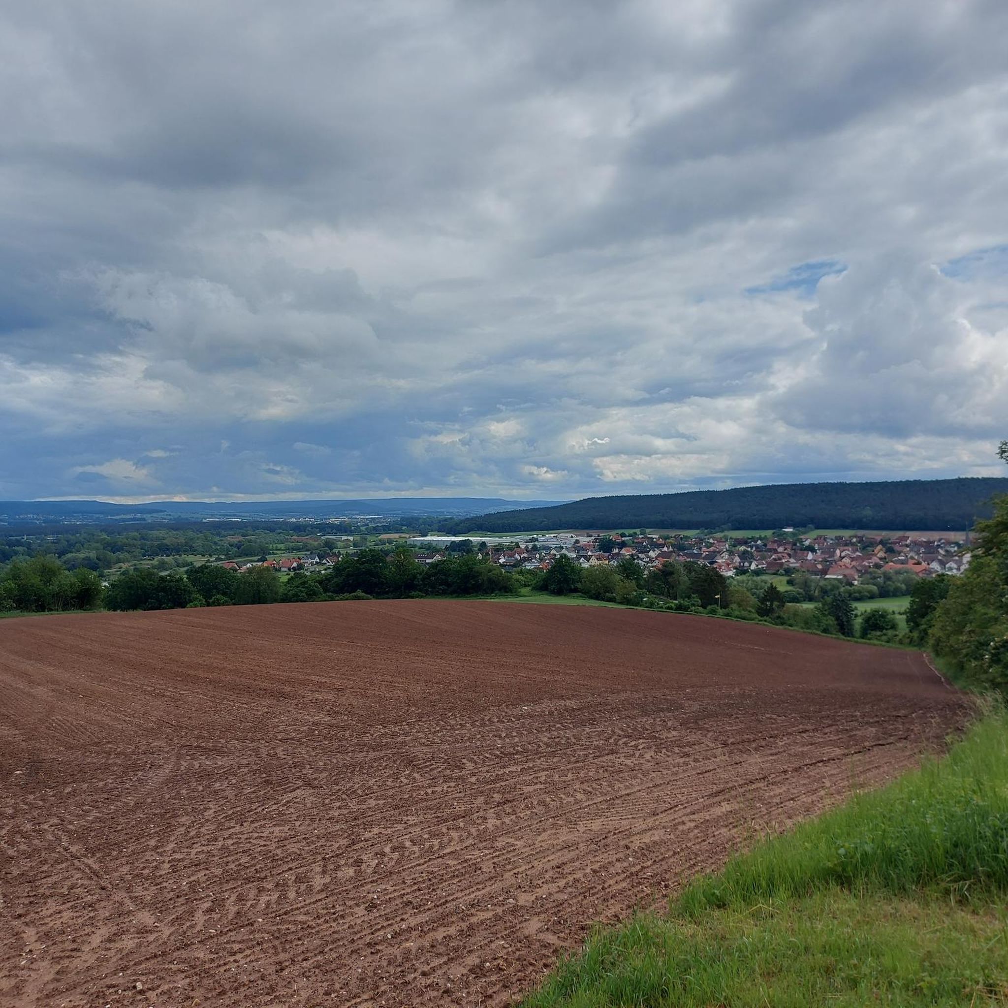
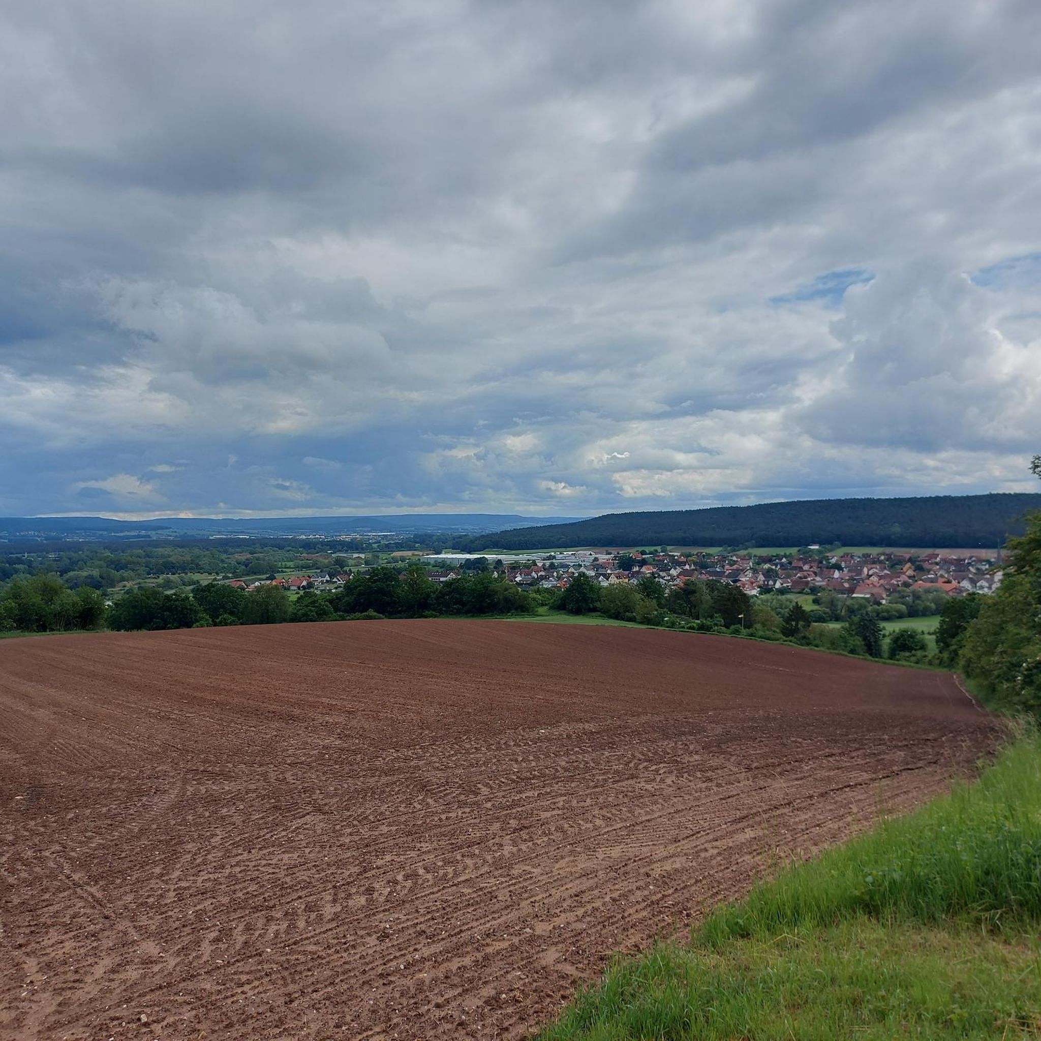
View of Pettstadt, Stellendorf and Hirschaid
0
0
Frequently Asked Questions
How many hiking trails are available around Pettstadt?
Pettstadt offers a diverse network of over 30 hiking trails. These routes cater to various preferences, including easy strolls, moderate excursions, and a few more challenging paths.
What kind of landscape can I expect when hiking in Pettstadt?
The landscape around Pettstadt is characterized by picturesque riverine scenery, particularly where the Rauhe Ebrach meets the Regnitz River. You'll find gentle, rolling hills and forested areas, providing a varied and scenic backdrop for your hikes. The nearby Steigerwald Nature Park also offers opportunities for experiencing untouched nature.
Are there hiking trails suitable for beginners in Pettstadt?
Yes, Pettstadt has a good selection of trails suitable for beginners. There are 13 easy routes available, such as the Pettstadter Schmied Monument – Backerts Chestnut Tree loop, which is just over 2 miles long and takes less than an hour to complete. These paths are generally well-maintained and offer a gentle introduction to the region's beauty.
Are there any challenging hikes in the Pettstadt area?
While many trails are moderate or easy, Pettstadt does offer a couple of more challenging routes for experienced hikers. These trails typically feature greater elevation changes or longer distances, providing a more strenuous experience within the region's rolling hills.
Are there family-friendly hiking options around Pettstadt?
Absolutely. The region offers several family-friendly options, including trails like the approximately 4 km long "Fledermausweg" (Bat Trail) between Viereth and Unterhaid, and the "Weg der Artenvielfalt" (Path of Biodiversity), about 3 km long, between Stegaurach and Mühlendorf. These routes are often well-signposted and may feature playgrounds or rest areas, with opportunities to spot local wildlife.
Can I bring my dog on the hiking trails in Pettstadt?
Generally, dogs are welcome on most hiking trails in the Pettstadt area. It's always recommended to keep your dog on a leash, especially in nature protection areas or near livestock, and to carry waste bags to maintain the cleanliness of the paths.
What are some notable landmarks or attractions I can see while hiking near Pettstadt?
Many hikes in the area can be combined with cultural and historical exploration. You might encounter the unique Pettstadter Schmied reaction ferry across the Regnitz River. Additionally, some routes lead to impressive sites like Seehof Palace. The proximity to Bamberg, a UNESCO World Heritage site, means you can easily access attractions like the Old Town Hall and Bamberg Cathedral.
Are there circular hiking routes available in Pettstadt?
Yes, many of the trails around Pettstadt are designed as circular routes, offering convenient starting and ending points. Examples include the Marian wayside shrine in the forest – Pettstadter Schmied Monument loop and the Boveri-Schlösschen – Gasthaus Melber Beer Garden loop, allowing you to return to your starting point without retracing your steps.
What is the best time of year to go hiking in Pettstadt?
The best seasons for hiking in Pettstadt are typically spring and autumn. During these times, the weather is mild, and nature displays vibrant blooms or colorful foliage, making for particularly scenic walks. Summer can also be pleasant, but it's advisable to start early to avoid the midday heat.
What do other hikers enjoy most about the trails in Pettstadt?
The hiking trails in Pettstadt are highly rated by the komoot community, with an average score of 4.5 stars from over 1600 reviews. Hikers often praise the diverse riverine scenery, the peaceful rolling hills, and the well-maintained paths that offer a mix of natural beauty and cultural points of interest.
Are there any routes that offer scenic views?
Many trails in Pettstadt provide scenic views, especially those that follow the Regnitz River or ascend the gentle rolling hills. The confluence of the Rauhe Ebrach and Regnitz rivers creates picturesque vistas, and the nearby Steigerwald Nature Park also offers breathtaking views of the surrounding landscape.
Is there parking available near the hiking trailheads in Pettstadt?
While specific parking information for each trailhead varies, Pettstadt is generally accessible by car, and you can often find parking options in the municipality or near popular starting points for trails. It's advisable to check local signage for designated parking areas.
Can I reach hiking trails in Pettstadt using public transport?
Pettstadt is connected to the regional public transport network, making it possible to reach the area without a car. From Bamberg, for instance, you can take a bus to Pettstadt. Once in the municipality, many trailheads are within walking distance or a short local bus ride.
Most popular routes around Pettstadt
Most popular attractions around Pettstadt

Get inspired with the komoot mobile app


Explore more
Browse the best Hikes in other regions.
