The best road cycling routes around Pettnau
4.5
(207)
11,874
riders
62
rides
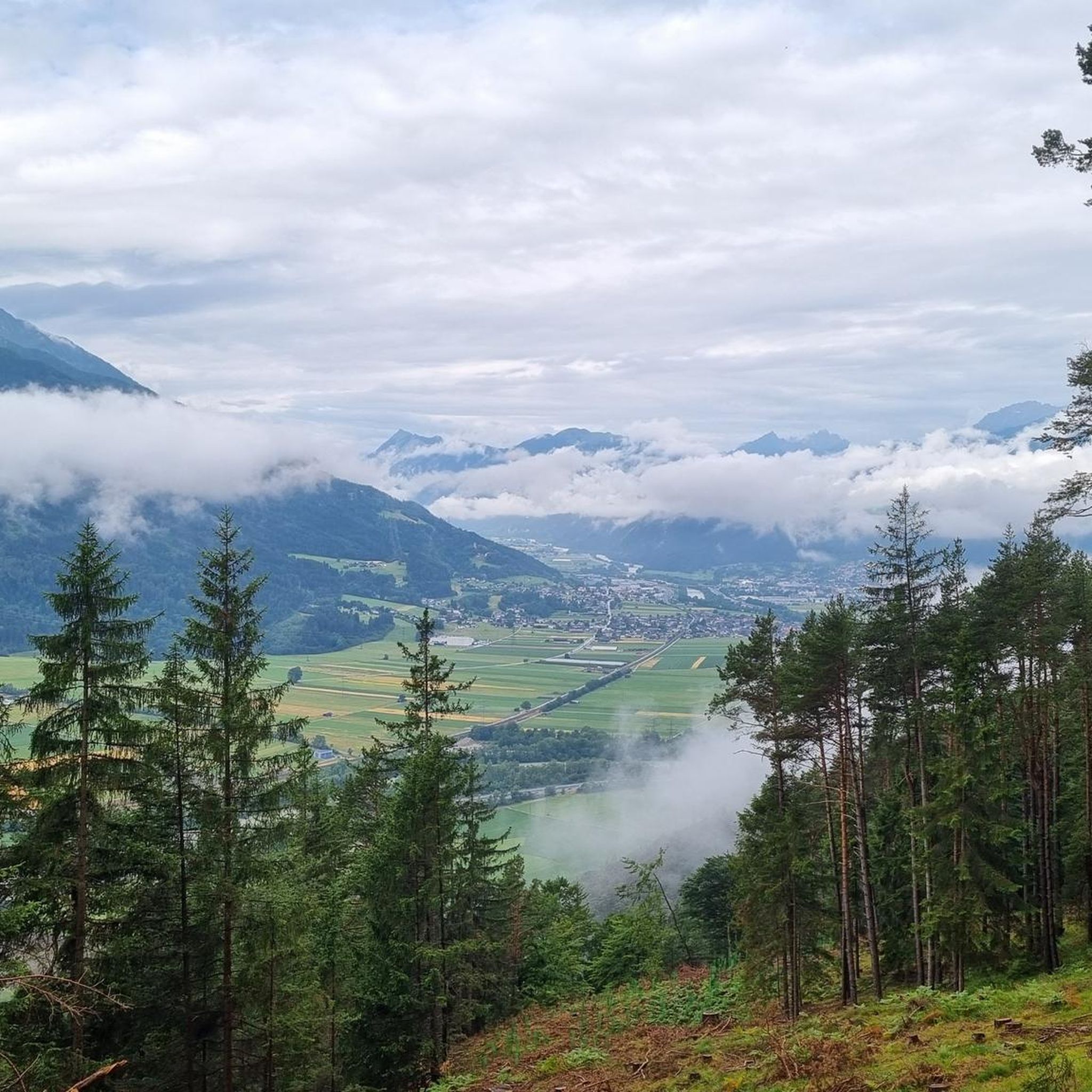
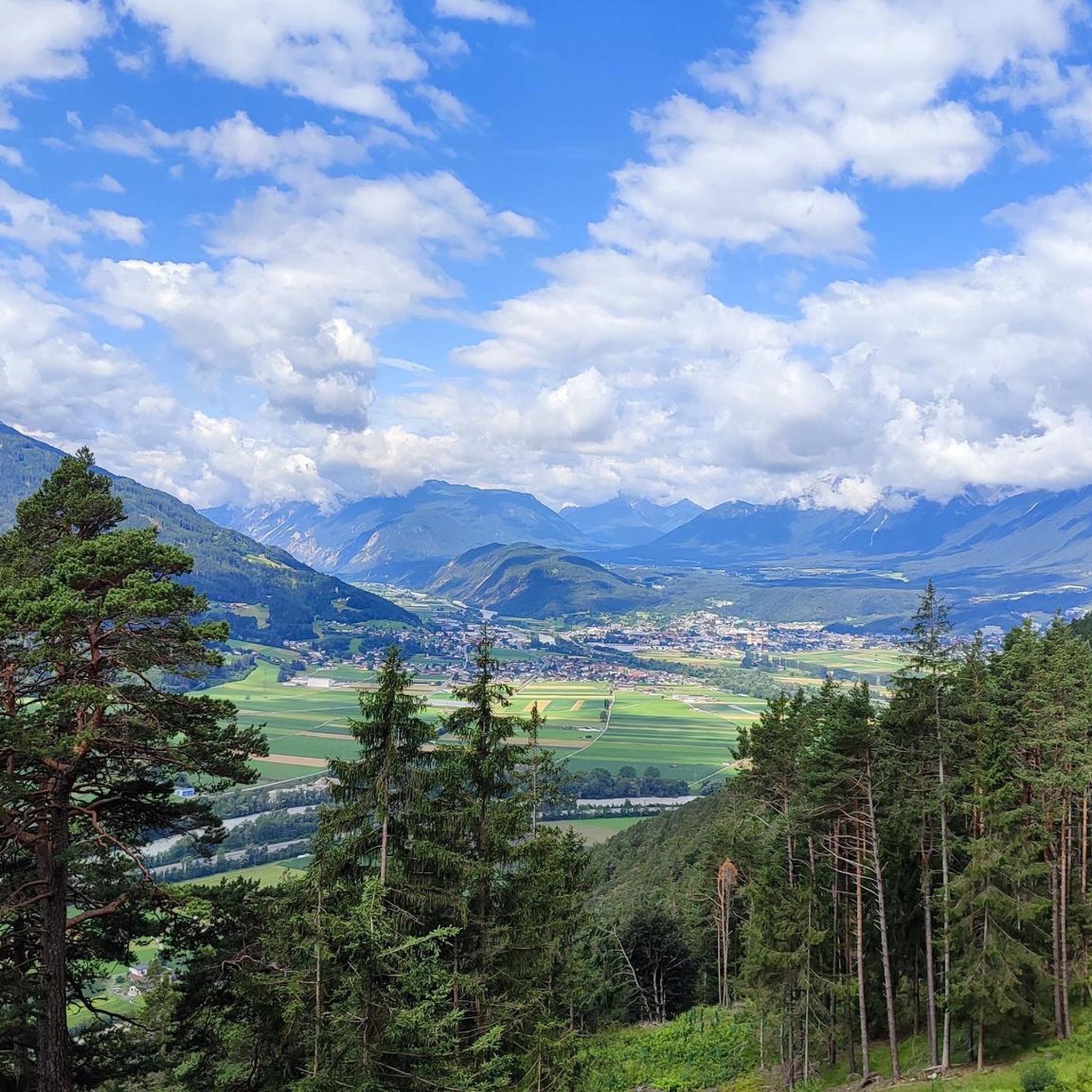
Road cycling routes around Pettnau are situated in the Inn Valley of Tyrol, Austria, offering a diverse landscape for cyclists. The region is characterized by its location at 628 meters above sea level, providing access to both predominantly flat sections along the Inn Cycle Path and more challenging alpine terrain. This area features views of the surrounding mountains, including the Karwendel range, and verdant valleys, making it suitable for various road cycling experiences.
Best road cycling routes around Pettnau
- The…
Last updated: May 14, 2026
4.3
(30)
1,506
riders
43.9km
01:56
260m
260m
Moderate road ride. Great for any fitness level. Some segments of this route may be unpaved and difficult to ride.
148
riders
83.6km
03:51
890m
890m
Moderate road ride. Good fitness required. Mostly well-paved surfaces and easy to ride.

Sign up for free
4.0
(1)
113
riders
31.4km
01:41
540m
540m
Moderate road ride. Good fitness required. Mostly well-paved surfaces and easy to ride.
93
riders
81.2km
03:54
910m
910m
Hard road ride. Very good fitness required. Some segments of this route may be unpaved and difficult to ride.
5.0
(1)
88
riders
21.0km
01:11
80m
80m
Moderate road ride. Great for any fitness level. Some segments of this route may be unpaved and difficult to ride.
Get access to more routes and recommendations from other explorers.
Sign up for free
Already have an account?
Our route recommendations are based on thousands of hikes, rides, and runs completed by other people on komoot.
Start today with a free account
Your next adventure awaits.
Login or Signup

Tips from the Community

Cafés invite you to linger
0
0

Perfect if you feel like blasting
0
0


Here you can shop or have a meal
1
0

Nice training round with 900 meters of elevation
0
0

Small pedestrian zone with shops and restaurants. Ideal for a stopover.
1
0
Frequently Asked Questions
What kind of terrain can I expect on road cycling routes around Pettnau?
Pettnau, situated in the Inn Valley, offers a diverse range of terrain. You'll find predominantly flat sections along the Inn Valley Cycle Path, which is ideal for leisure rides. For those seeking more challenge, the broader Tyrolean region, accessible from Pettnau, features significant elevation gains and alpine passes, characteristic of routes like the View of the Martinswand – Gnadenwald Plateau loop.
Are there road cycling routes suitable for families or beginners in Pettnau?
Yes, the Inn Cycle Path, which runs through the Inn Valley, offers many predominantly flat sections perfect for families and leisure cyclists. These routes allow you to enjoy the scenic views without demanding climbs. The region has over 15 easy road cycling tours available.
What are some scenic highlights or landmarks I can see while road cycling near Pettnau?
The region offers numerous scenic highlights. You can enjoy picturesque views of the Inn Valley and the surrounding Karwendel mountains. Notable landmarks include the Parish Church of St. George in Leiblfing, often considered one of Tyrol's most photographed churches, and the historic Mellauner Hof. For panoramic views, consider visiting the Peace Bell of the Alpine Region (Friedensglocke des Alpenraumes).
Are there any circular road cycling routes around Pettnau?
Yes, many routes around Pettnau are designed as loops, allowing you to start and end in the same location. An example is the Road to Ranggen loop from Inzing, which takes you through the Inn Valley and surrounding mountains.
What is the best time of year for road cycling in Pettnau?
The best time for road cycling in Pettnau is typically from spring through autumn. During these seasons, the weather is generally mild, and the landscapes are vibrant. While the Inn Valley offers accessible routes, higher alpine passes might be subject to snow or colder temperatures outside of the summer months.
What do other road cyclists enjoy most about the routes in Pettnau?
The road cycling routes in Pettnau are highly rated by the komoot community, with an average score of 4.5 stars from over 200 reviews. Cyclists often praise the diverse terrain, from the gentle Inn Valley paths to the challenging alpine climbs, and the stunning views of the Tyrolean Alps and Karwendel mountains.
Are there any challenging road cycling routes for experienced riders?
Absolutely. While the Inn Valley offers easier rides, the broader Tyrolean region accessible from Pettnau provides numerous challenging alpine routes with significant elevation gains. For instance, the Hasegg Castle – Axamer Plateau loop from Flaurling is classified as difficult, featuring over 900 meters of ascent.
Can I find waterfalls or lakes along road cycling routes near Pettnau?
Yes, the region around Pettnau features beautiful natural attractions. You can find several lakes, such as the Eastern shore of Lake Möserer See, which is known as one of Tyrol's warmest bathing lakes. There are also waterfalls, including the Waterfall on the Wasserfall-Steig Trail, which can be incorporated into your cycling excursions.
Are there options for parking or public transport access for cyclists in Pettnau?
Pettnau offers various parking facilities for cyclists. For those using public transport, the region is well-connected, with train stations and bus routes that can facilitate access to different starting points for your rides. It's advisable to check local transport schedules for bike carriage options.
Are there any specific permits required for road cycling in the Pettnau area?
Generally, no specific permits are required for road cycling on public roads and designated cycle paths in the Pettnau area. However, always respect local regulations, especially when cycling through protected natural areas or private land.
Where can I find cafes, pubs, or accommodation suitable for cyclists in Pettnau?
Pettnau and its surrounding villages offer a range of amenities for cyclists. You'll find traditional taverns like the historic Mellauner Hof, which dates back to 1291, as well as various cafes and guesthouses. Many establishments are accustomed to catering to outdoor enthusiasts.
Are there any routes that offer a taste of local products or culture?
West of Innsbruck, you can explore the 'Flavour Cycle Route,' a 50.5-kilometer path featuring 25 stops where you can sample regional products. This offers a unique way to combine cycling with local culinary experiences.
Most popular attractions around Pettnau

Get inspired with the komoot mobile app


Explore more
Browse the best Road cycling routes in other regions.
