The best mountain hikes in Serra Gelada
4.8
(17)
97
hikers
10
hikes
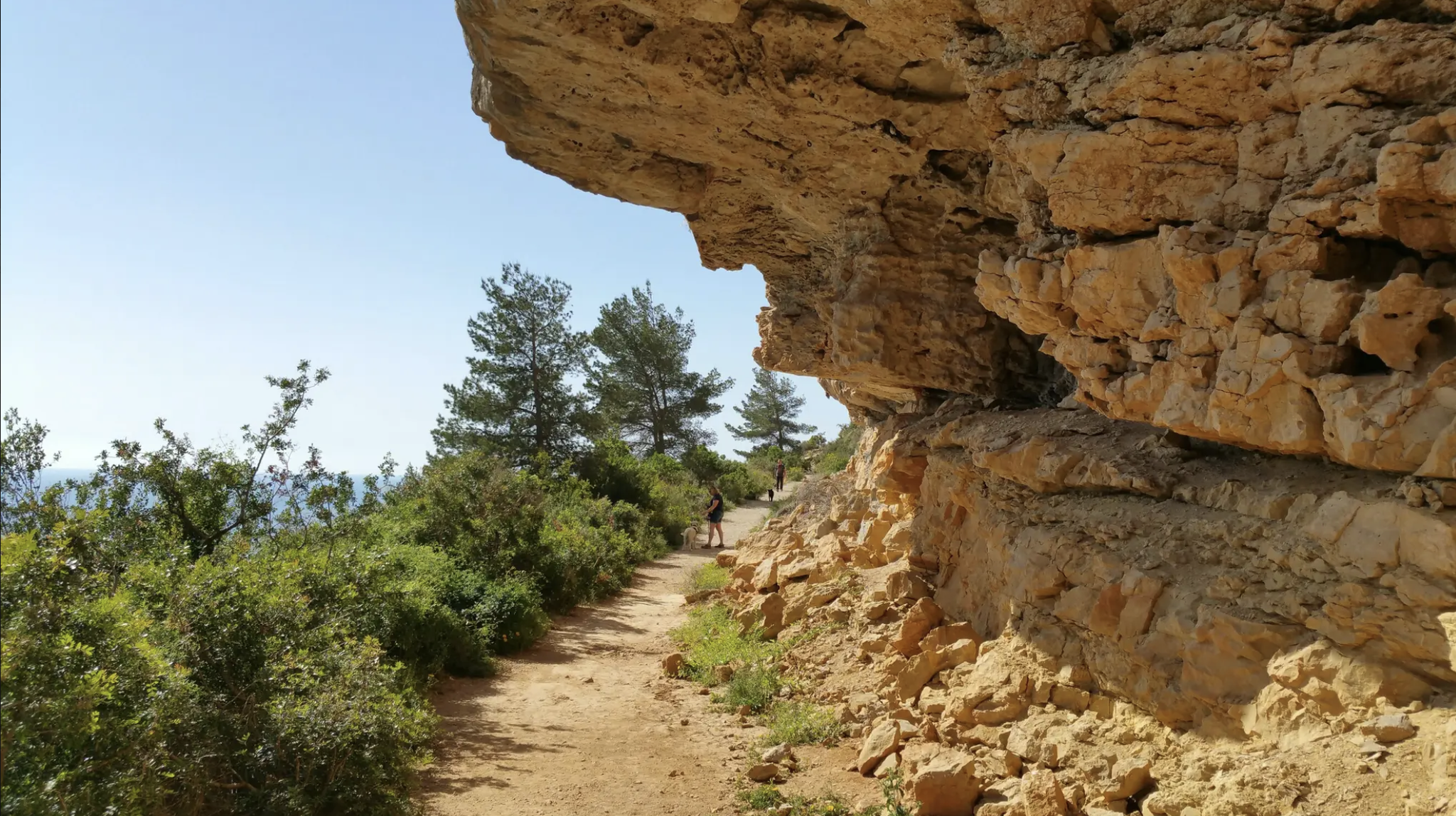
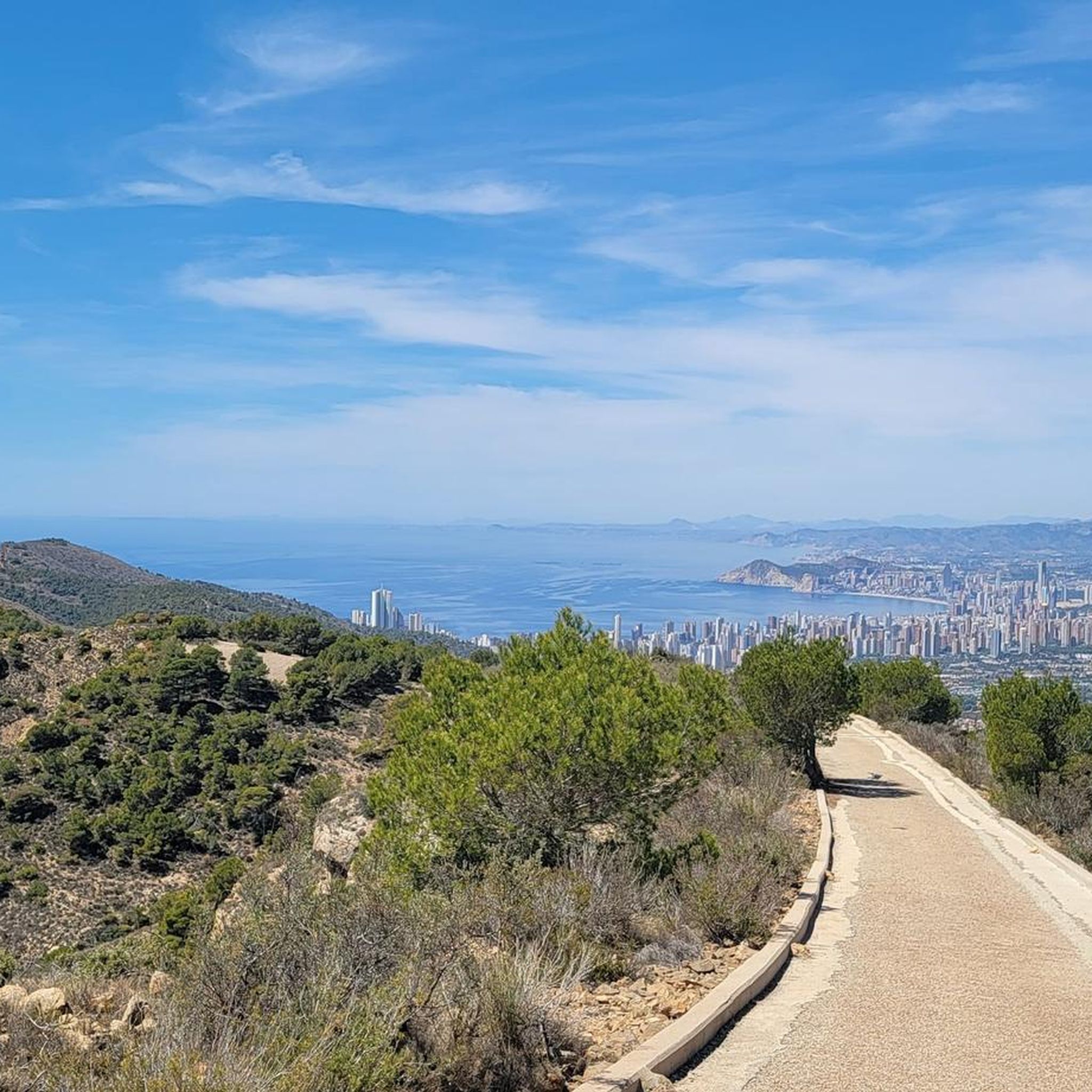
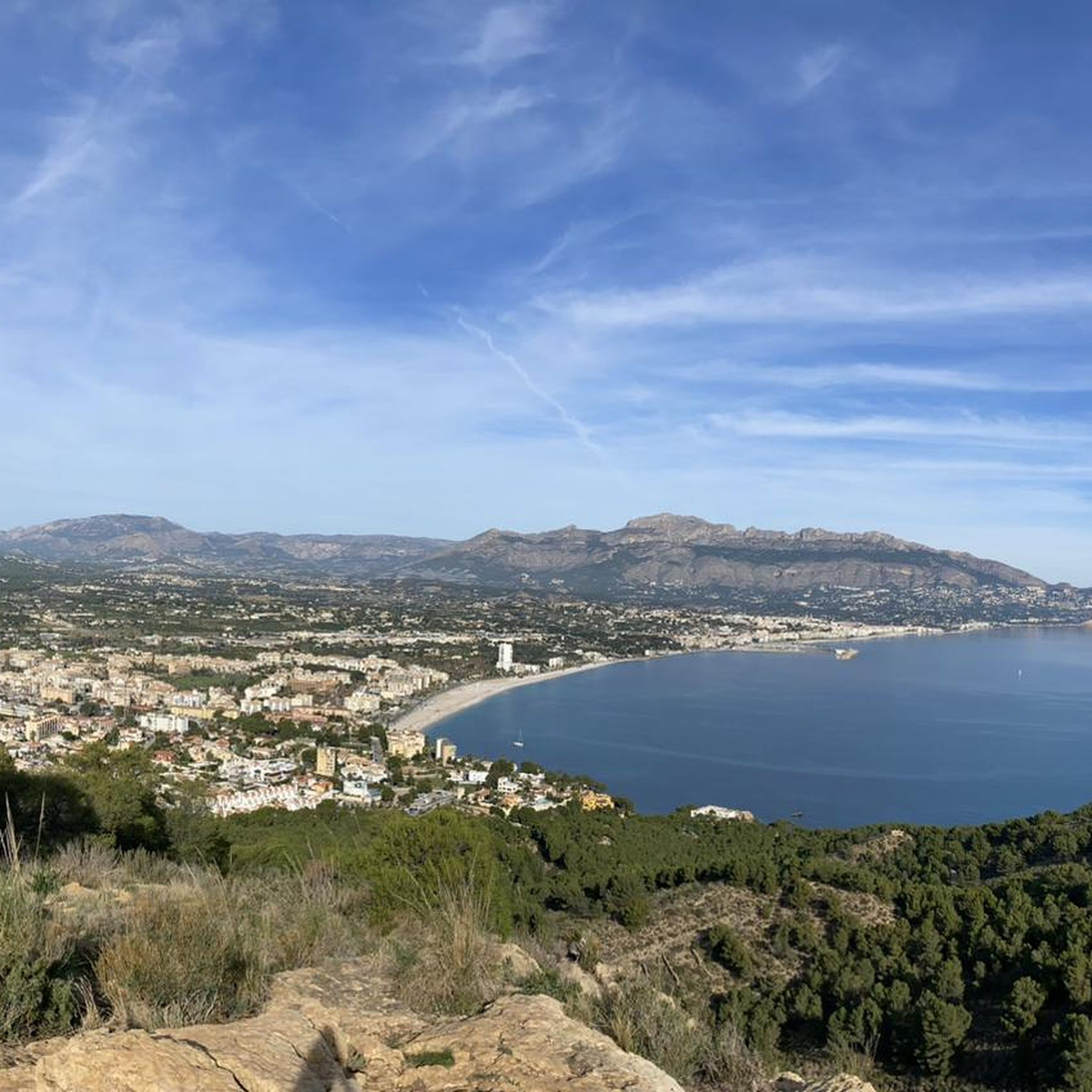
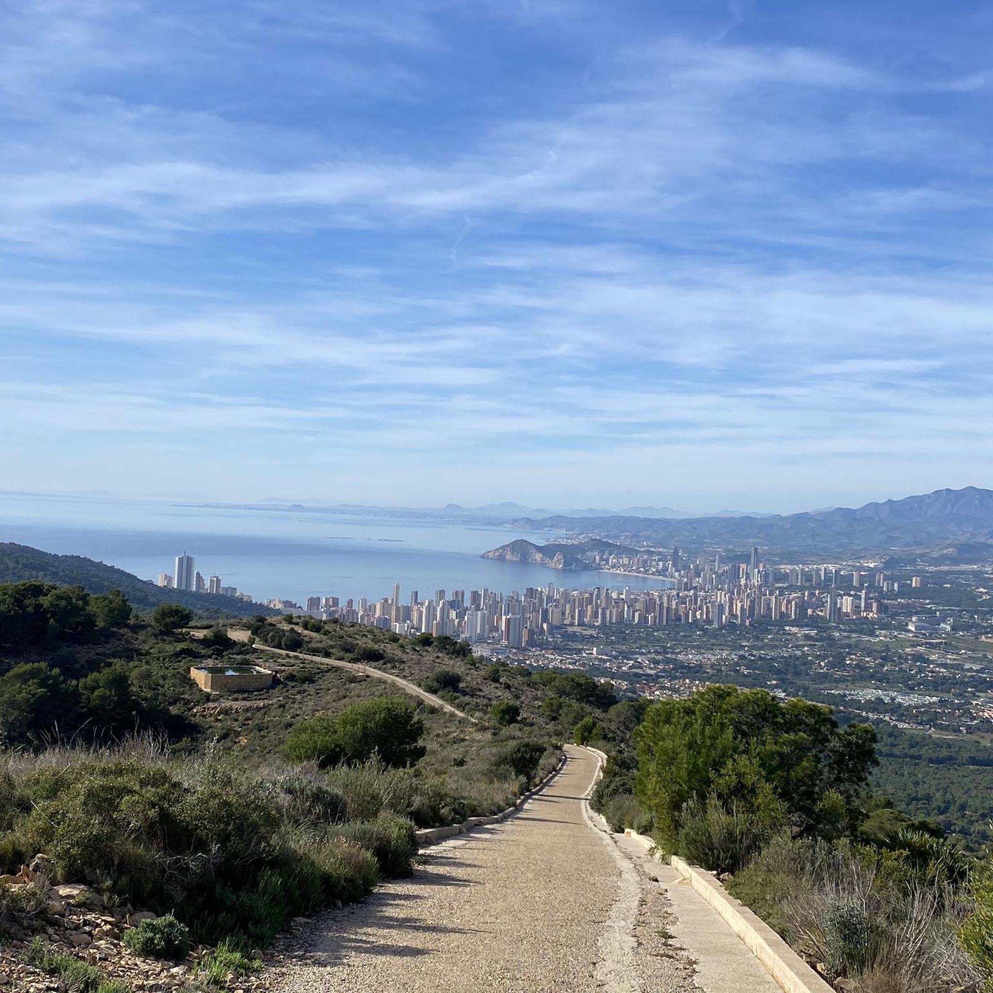
Mountaineering in Serra Gelada is characterized by its dramatic coastal landscape, featuring towering vertical cliffs that rise directly from the Mediterranean Sea. The region encompasses over 5,000 hectares of protected coastline, offering routes with significant elevation changes and panoramic sea views. Unique geological formations, such as ancient fossilized sand dunes, are also present within this natural park.
Best mountaineering routes in Serra Gelada
- The most popular mountaineering route is Highest Peak at the Antenna – Governor's Height loop from Parc…
Last updated: October 11, 2026
5.0
(3)
3
hikers
Moderate mountaineering route. Good fitness required. Mostly accessible paths. Sure-footedness required.
5
hikers
7.32km
02:13
220m
220m
Moderate mountaineering route. Good fitness required. Mostly accessible paths. Sure-footedness required.

7
hikers
4.37km
01:19
150m
150m
Easy mountaineering route. Great for any fitness level. Easily-accessible paths. Suitable for all skill levels.
5.0
(4)
24
hikers
Hard mountaineering route. Great for any fitness level. Sure-footedness, sturdy shoes and alpine experience required.
5.0
(2)
5
hikers
Hard mountaineering route. Good fitness required. Sure-footedness, sturdy shoes and alpine experience required.
Get access to more routes and recommendations from other explorers.
Already have an account?
Our route recommendations are based on thousands of hikes, rides, and runs completed by other people on komoot.
Start today with a free account
Your next adventure awaits.

Other adventures in Serra Gelada

Tips from the Community

Il Peñón de Ifach (in Valencian Penyald'Ifac) is an imposing limestone rock mass located in Calpe, in the Valencian Community, considered the symbol of the Costa Blanca. This gigantic rock rises 332 meters above sea level, extending for one kilometer in length and connecting to the mainland via a small sandy isthmus. Declared a Natural Park in 1987, with only 45-50 hectares, it is one of the smallest natural parks in Europe, but at the same time one of the most visited in the region.
1
0

La Playa de la Fossa, also known as Playa de Levante, is one of the most popular beaches in Calpe, in the province of Alicante. This urban beach is characterized by its fine golden sand and crystal-clear waters.
18
0

Trails well signposted
1
1
Sturdy footwear advantageous, trails well-equipped
1
1

Make sure to get the permission to enter. also, closed during christmas and new year period
0
0
The Peñón de Ifach is one of the most emblematic places on the Costa Blanca and, in my opinion, is impressive both for its natural beauty and its ecological value. Unique landscape: It is an enormous limestone rock over 300 meters high that juts out into the sea, creating a spectacular image. Natural Park: It is home to great biodiversity, with protected plant and bird species. Hiking with incredible views: There are routes that lead to the summit, from where you can see the entire bay of Calpe, the Mediterranean Sea, and, on clear days, even Ibiza. Photography and nature: Ideal for those seeking iconic landscapes and contact with nature.
10
0

Beware of slippery steps and chains.
3
0

Getting here is tough, there are several complicated ramps, but you can get there.
0
0
Frequently Asked Questions
What kind of terrain can I expect on mountaineering routes in Serra Gelada?
Mountaineering in Serra Gelada is defined by its dramatic vertical cliffs, which rise between 300 to over 400 meters directly from the Mediterranean Sea. You'll encounter significant elevation changes, rugged coastal paths, and unique geological features like ancient fossilized sand dunes. The routes offer panoramic sea views and a blend of terrestrial and marine environments.
Are there mountaineering routes suitable for beginners in Serra Gelada?
While many routes are rated difficult, there are options for those with moderate experience. For instance, the Highest Peak at the Antenna – Governor's Height loop from Parc Natural de la Serra Gelada is classified as moderate, offering a good introduction to the park's terrain and views without the extreme challenges of some other trails.
Where can I park when visiting Serra Gelada for mountaineering?
Parking is generally available at key access points to the Natural Park. For popular routes like the one leading to the Albir Lighthouse, designated parking areas are usually present. For other trails, such as those near Tossal de Vallés or Mundomar Alt de la Montera, you'll find parking options close to the trailheads, often within the towns bordering the park like Benidorm, l'Alfàs del Pi, or Altea.
Is it possible to reach Serra Gelada mountaineering trails by public transport?
Yes, the Serra Gelada Natural Park is accessible by public transport, particularly from the nearby towns of Benidorm, l'Alfàs del Pi, and Altea. Local bus services often connect these towns to various entry points of the park, making it possible to reach trailheads without a private vehicle.
Do I need any special permits for mountaineering in Serra Gelada?
Generally, no special permits are required for hiking or mountaineering on the established trails within Serra Gelada Natural Park. However, for specific activities like climbing on certain rock faces, it's advisable to check with the park authorities for any regulations or permit requirements. The park is a protected area, so always adhere to local guidelines.
Are dogs allowed on the mountaineering trails in Serra Gelada?
Serra Gelada Natural Park is generally dog-friendly, but it's important to keep your dog on a leash, especially due to the presence of wildlife and steep cliffs. Always ensure you clean up after your pet to help maintain the park's natural beauty and ecosystem.
Are there family-friendly mountaineering options in Serra Gelada?
While many mountaineering routes are challenging, the park offers some less demanding options suitable for families. The Trail to Albir Lighthouse is a popular, relatively easy 2.5 km hike that offers stunning coastal views and is suitable for families. This trail can be extended for a slightly longer walk.
When is the best time of year for mountaineering in Serra Gelada?
The best time for mountaineering in Serra Gelada is typically during the cooler months, from autumn through spring (October to May). Summers can be very hot, making strenuous activity less comfortable. The mild Mediterranean climate during these seasons provides ideal conditions for exploring the trails and enjoying the panoramic views.
What can I see along the mountaineering routes in Serra Gelada?
Along the mountaineering routes, you can discover a variety of natural and historical attractions. Highlights include the iconic Albir Lighthouse, the dramatic Serra Gelada Cliffs, and the summit of Governor's Height. You might also encounter historical sites like the Tower of Les Caletes and the Castellum of Tossal de la Cala, offering glimpses into the region's past.
Are there places to eat or stay near the Serra Gelada Natural Park?
Yes, the Serra Gelada Natural Park is conveniently located near the vibrant towns of Benidorm, l'Alfàs del Pi, and Altea. These towns offer a wide range of cafes, restaurants, and accommodation options, from hotels to apartments, catering to various budgets and preferences. You'll find plenty of choices for dining and lodging just a short distance from the park's entrances.
What do other mountaineers enjoy the most about mountaineering in Serra Gelada?
The area is highly rated by the komoot community, with an average score of 4.9 stars. Reviewers often praise the dramatic coastal landscape, the breathtaking panoramic sea views from the towering cliffs, and the unique geological formations like the fossilized sand dunes. The diverse marine and terrestrial environments also contribute to a memorable experience.
Are there any circular mountaineering routes in Serra Gelada?
Yes, Serra Gelada offers several circular mountaineering routes that allow you to start and end at the same point. An example is the Cala El Racó – Peñón de Ifach summit loop from Parc Natural del Penyal d'Ifac, which provides a challenging coastal journey with rewarding views. Another option is the Highest Peak at the Antenna – Governor's Height loop from Parc Natural de la Serra Gelada.
What are some challenging mountaineering routes for experienced hikers in Serra Gelada?
For experienced mountaineers seeking a challenge, Serra Gelada offers several difficult routes. The View of Serra d'Oltà loop from Calp is a difficult 7.3 km path providing expansive vistas. Another demanding option is the Peñón de Ifach – Playa de la Fossa loop from Parc Natural del Penyal d'Ifac, which covers nearly 6 km with significant elevation changes.
Most popular routes in Serra Gelada
Most popular attractions in Serra Gelada

Get inspired with the komoot mobile app


Explore more
Browse the best Mountain Hikes & Routes in other regions.
