The best road cycling routes in Chera-Sot De Chera
4.0
(5)
446
riders
23
rides
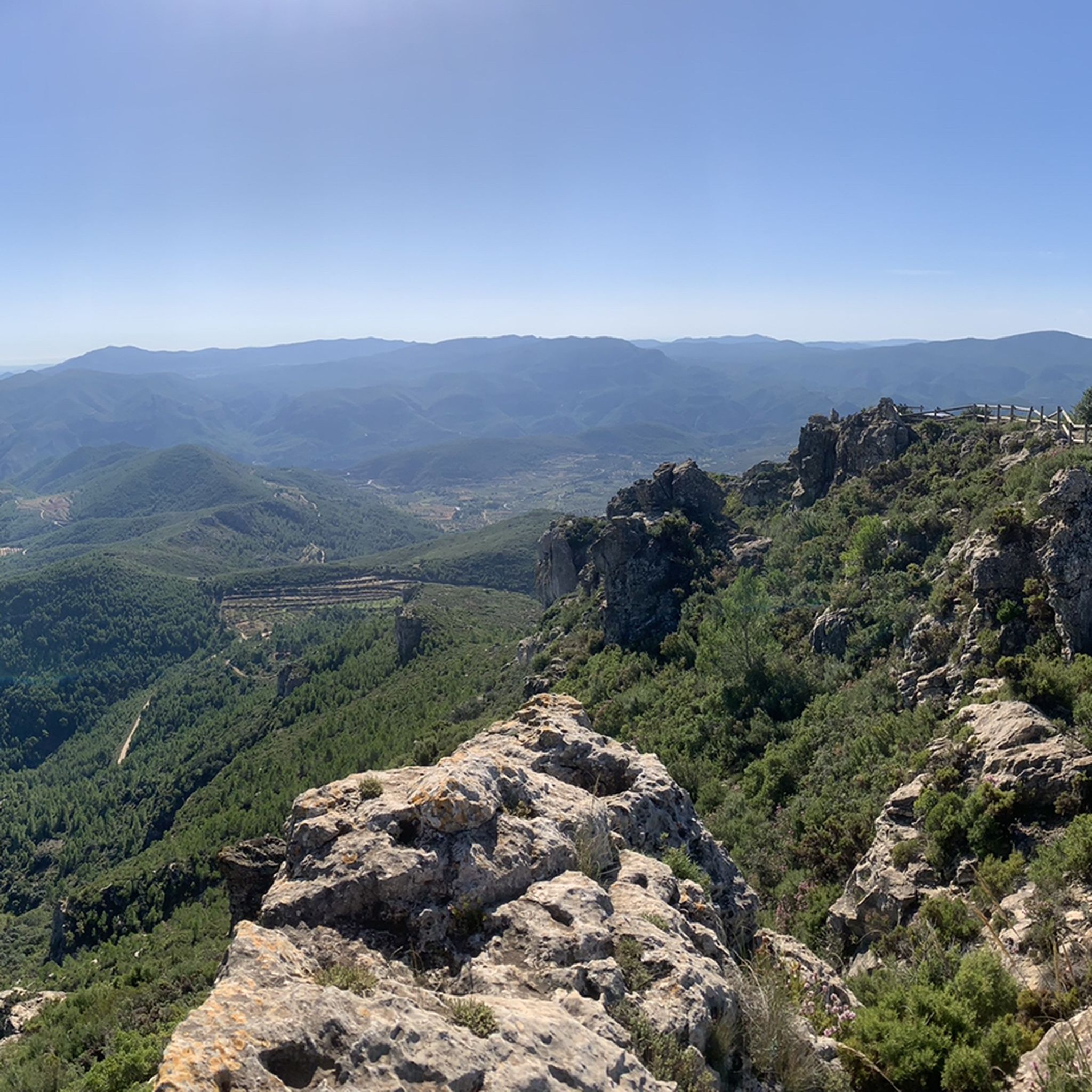
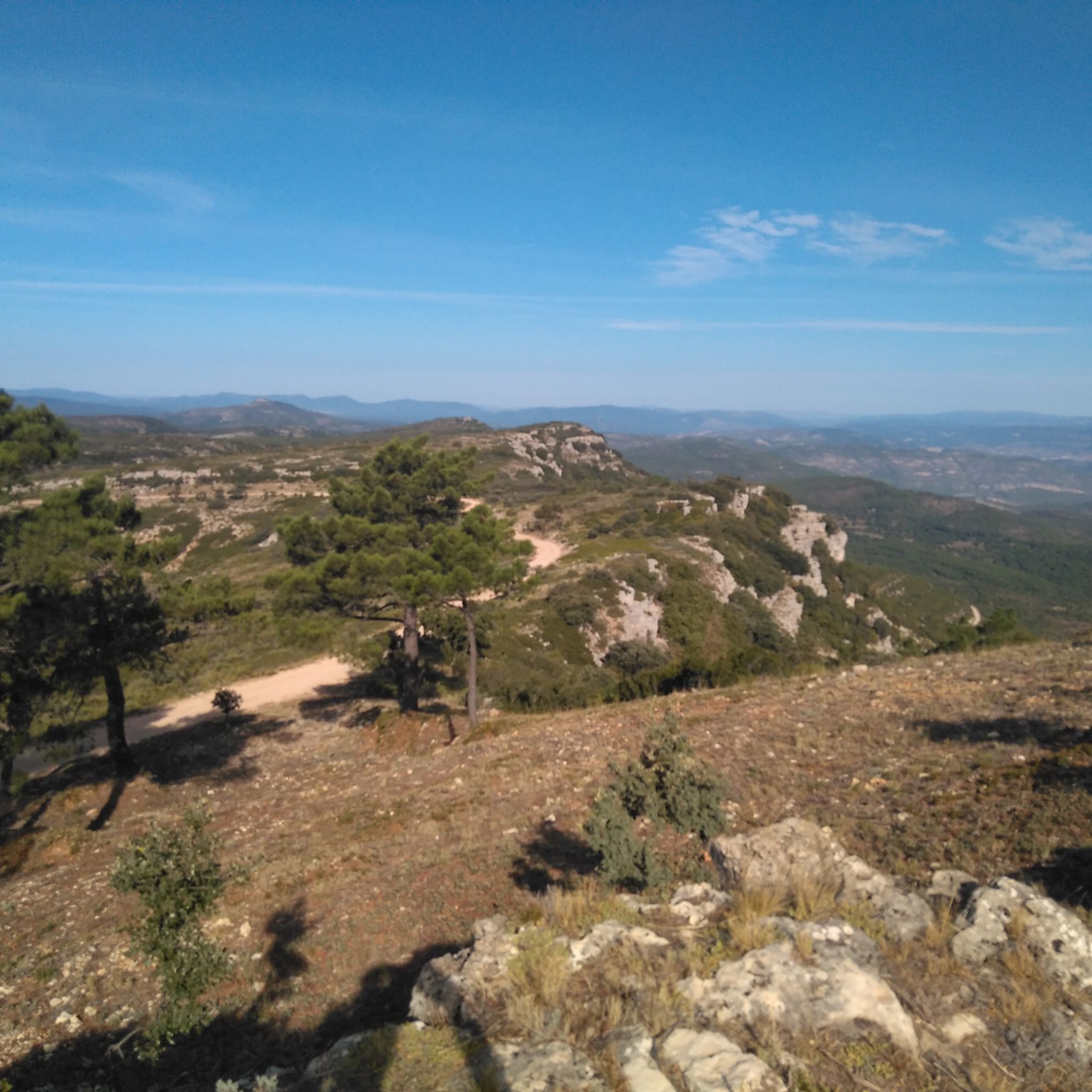
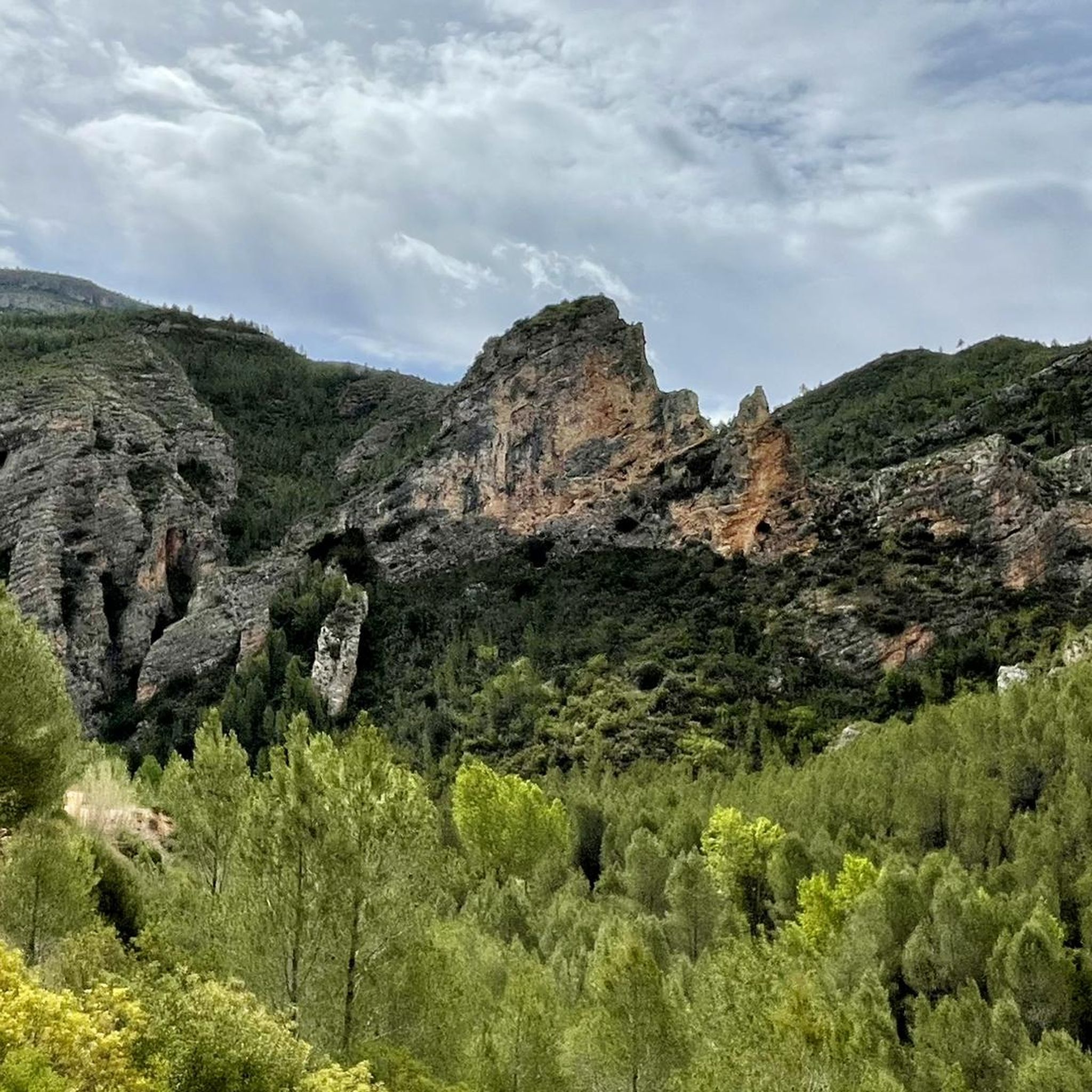
Road cycling in Chera-Sot De Chera offers diverse terrain within the Natural Park, characterized by deep gorges, steep mountains, and fertile valleys. The region features significant elevation changes, with peaks reaching over 1,100 meters, providing challenging climbs. Cyclists encounter a landscape shaped by geological folds, limestone formations, and the Reatillo River, which carves impressive canyons. The area's well-paved surfaces are suitable for road cycling, connecting various natural and historical points of interest.
Best road cycling routes in Chera-Sot De Chera
…Last updated: August 21, 2026
3.0
(2)
43
riders
62.3km
03:12
990m
990m
Hard road ride. Very good fitness required. Mostly well-paved surfaces and easy to ride.
23
riders
41.1km
02:14
820m
820m
Moderate road ride. Good fitness required. Mostly well-paved surfaces and easy to ride.

Sign up for free
20
riders
83.1km
04:02
1,080m
1,080m
Hard road ride. Very good fitness required. Mostly well-paved surfaces and easy to ride.
13
riders
47.5km
02:35
760m
760m
Moderate road ride. Good fitness required. Mostly well-paved surfaces and easy to ride.
8
riders
100km
04:51
1,280m
1,280m
Hard road ride. Very good fitness required. Some segments of this route may be unpaved and difficult to ride.
Get access to more routes and recommendations from other explorers.
Sign up for free
Already have an account?
Our route recommendations are based on thousands of hikes, rides, and runs completed by other people on komoot.
Start today with a free account
Your next adventure awaits.
Login or Signup
Popular around Chera-Sot De Chera
Tips from the Community

The Reatillo River, also known as the Sot River in its final stretch, is a tributary of the Turia River that flows through spectacular natural surroundings in the province of Valencia, particularly in the Chera-Sot de Chera Natural Park. In Sot de Chera, the river forms natural pools or "charcos" (pools), ideal for swimming, especially in summer. One of the best known is Charco Gruñidor, a natural pool of crystal-clear water surrounded by vegetation and rocks.
4
0
The Reatillo River, also known as the Sot River in its final stretch, is a tributary of the Turia River that flows through spectacular natural surroundings in the province of Valencia, particularly in the Chera-Sot de Chera Natural Park. In Sot de Chera, the river forms natural pools or "charcos" (pools), ideal for swimming, especially in summer. One of the best-known is Charco Gruñidor, a natural pool of crystal-clear water surrounded by vegetation and rocks.
4
0

Update after La Dana, the fountain is almost destroyed, but the water is still flowing, now at ground level (I put a photo).
1
1
A small additional, useful detail: this fountain has water all year round, even at the end of summer.
2
1

Beautiful fountain at the entrance to the village
6
1
Chullila can be reached either by car or by hiking from Sot de Chera (which I recommend). A must-see stop, for the village and its magnificent surroundings. Here is a video to discover all the magnificent spots accessible by hiking from Chulilla: https://youtu.be/6C-ttg8DGEc
2
0
Chulilla is a charming town located in the Serranía Region, in the Community of Valencia, Spain. This place combines nature, history and adventure, and offers a unique experience for visitors.
2
0

At the moment, they are undergoing renovations and it is not possible to access.
0
0
Frequently Asked Questions
What kind of terrain can I expect when road cycling in Chera-Sot De Chera?
Chera-Sot De Chera offers a diverse and challenging terrain for road cyclists. The region is characterized by deep gorges, steep mountains, and fertile valleys, with significant elevation changes and peaks reaching over 1,100 meters. You'll encounter a landscape shaped by unique geological folds, limestone formations, and impressive canyons carved by the Reatillo River.
Are there any easy road cycling routes in Chera-Sot De Chera?
While the region is known for its challenging climbs, there is at least one easy road cycling route available. Overall, the routes in Chera-Sot De Chera are predominantly moderate to difficult, catering to experienced road cyclists.
What natural features can I see along the road cycling routes?
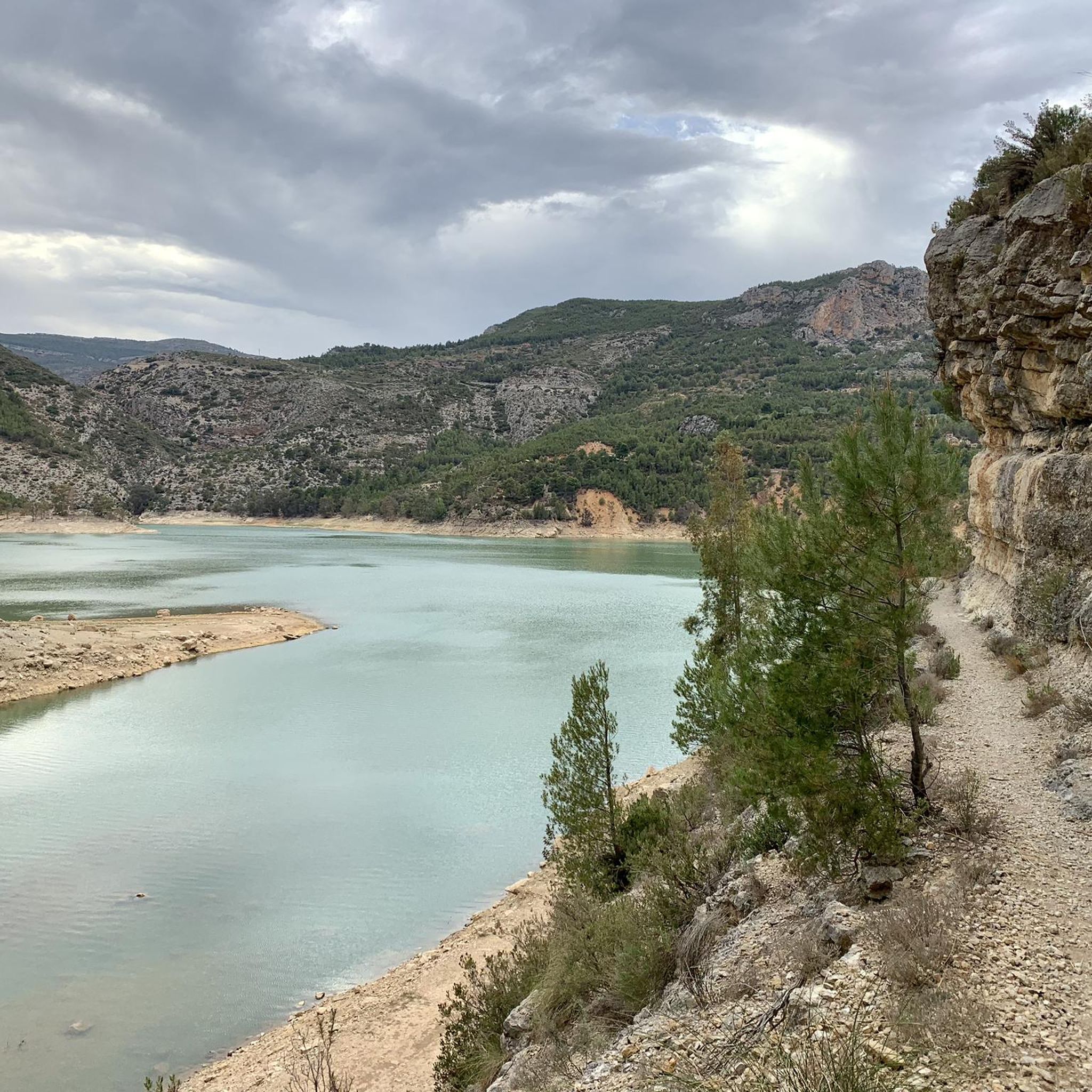
The routes often pass through spectacular natural surroundings. You can expect to see deep gorges, impressive rock formations, and the scenic Reatillo River. The area is also rich in water sources, including the Buseo and Chera reservoirs, which add to the scenic beauty with their turquoise waters. Keep an eye out for geological features like anticlines, especially in the Sot de Chera area, which hosts the first geological park in the Region of Valencia.
Are there any specific landmarks or points of interest to look out for?
Yes, Chera-Sot De Chera offers several notable landmarks. You might encounter historical sites such as Chera Castle (12th century) and El Conde House (16th century), or the Castle of Sot de Chera, which provides fantastic views. Natural highlights include Pico Ropé, Cueva de la Garita, and the Reatillo River itself. The Sot de Chera Natural Park is also a key attraction.
Are there many circular road cycling routes in the area?
Many of the road cycling routes in Chera-Sot De Chera are designed as loops, allowing you to start and finish in the same location. Examples include the Requena Fortress – Reatillo River loop from Sot de Chera and the Reatillo River – Chulilla loop from Sot de Chera, which offer varied distances and elevation gains.
What are some challenging road cycling routes for experienced cyclists?
For experienced cyclists seeking a challenge, routes like the Requena Fortress – Reatillo River loop from Sot de Chera stand out. This difficult 62.6 km route features nearly 1,000 meters of elevation gain. Another demanding option is the Sandwich with Red Wine – Reatillo River loop from Sot de Chera, which covers 99.1 km with over 1,270 meters of ascent.
When is the best time of year to go road cycling in Chera-Sot De Chera?
The region's climate generally allows for cycling through much of the year. However, given the significant elevation changes and potential for high temperatures in summer, spring and autumn often provide the most comfortable conditions for road cycling. These seasons offer pleasant temperatures and vibrant natural scenery.
Are there any waterfalls in the Chera-Sot De Chera area?
Yes, the region is known for its impressive karst landscape, which includes caves and waterfalls. A notable example is Cueva del Turche, which features a 12-meter interior waterfall. The area around Cueva de la Garita also includes natural water features like Chorrero de la Castellana and Charco de las Lumbres.
What are the options for parking when road cycling in Chera-Sot De Chera?
While specific parking areas for cyclists are not detailed, the towns within the region, such as Sot de Chera and Chulilla, typically offer parking facilities. It is advisable to check local parking regulations upon arrival, especially in smaller villages or near popular trailheads.
Can I reach Chera-Sot De Chera by public transport for road cycling?
Information on direct public transport links specifically for road cyclists to Chera-Sot De Chera is limited. The region is somewhat remote, and while there might be bus services to larger towns nearby, bringing a road bike on public transport can be challenging. Driving to the area and parking is often the most convenient option for cyclists.
What do other road cyclists say about the routes in Chera-Sot De Chera?
The road cycling routes in Chera-Sot De Chera are highly rated by the komoot community, with an average score of 4.0 stars from 3 reviews. Cyclists often praise the varied terrain, challenging climbs, and the stunning natural beauty of the Natural Park, including its deep gorges and scenic river valleys.
Are there cafes or pubs near the road cycling trails in Chera-Sot De Chera?
The towns and villages within the Chera-Sot De Chera Natural Park, such as Sot de Chera and Chulilla, offer local amenities including cafes and pubs where cyclists can refuel and relax. These establishments are typically found in the village centers, making them convenient stops along or after your ride.
Most popular routes in Chera-Sot De Chera
Most popular attractions in Chera-Sot De Chera

Get inspired with the komoot mobile app


Explore more
Browse the best Road cycling routes in other regions.
