The best cycling routes in Hoces Del Cabriel
4.6
(7)
187
riders
29
rides
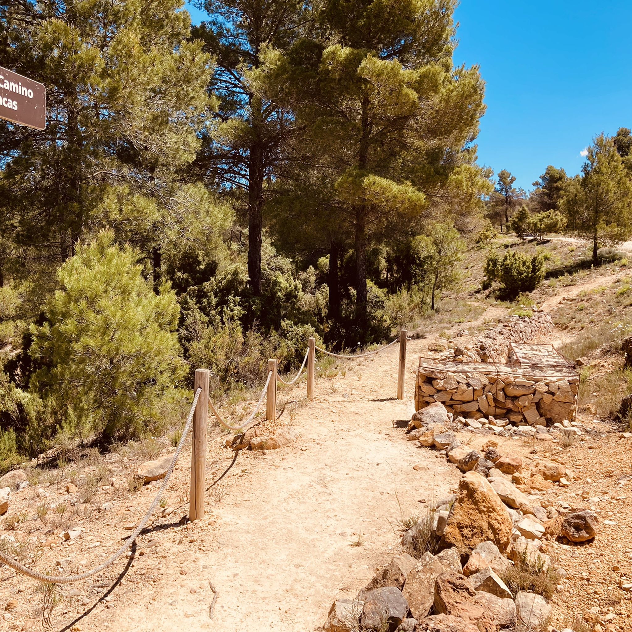
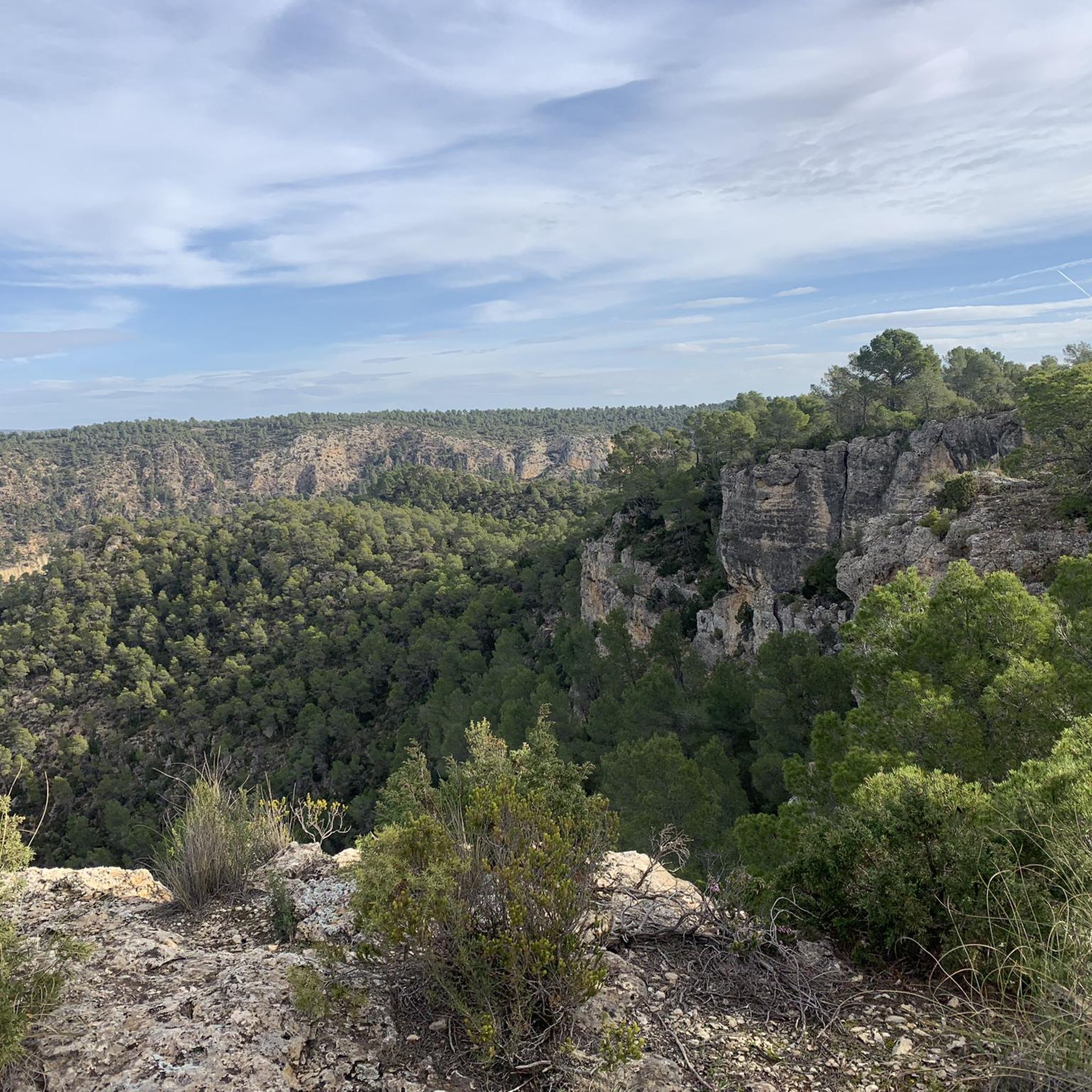
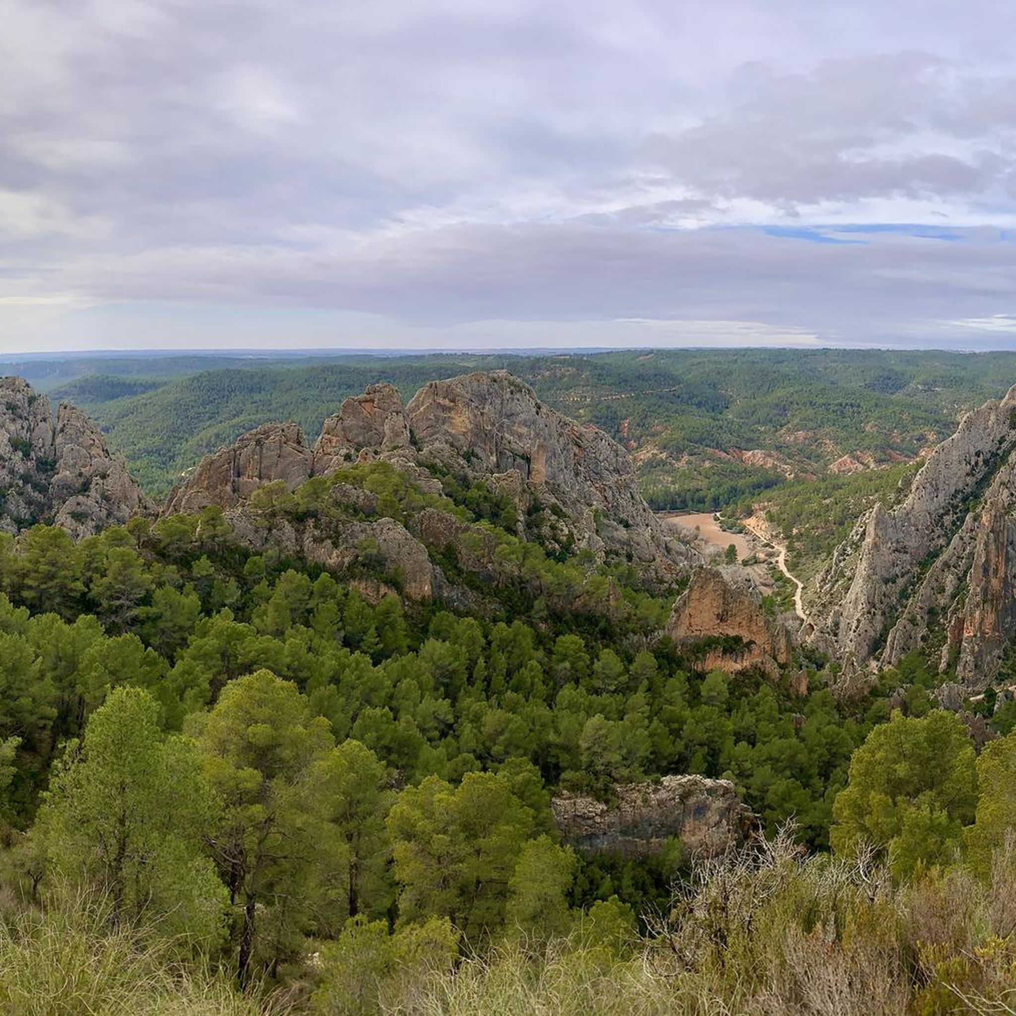
Touring cycling in Hoces Del Cabriel features routes through a landscape defined by the Cabriel River, which has carved deep gorges and dramatic riverbanks. The area is characterized by towering cliffs, unique knife-like rock formations such as "Los Cuchillos de Contreras," and well-preserved riverside forests. This region, part of the UNESCO Cabriel Valley Biosphere Reserve, offers varied terrain suitable for touring cyclists, including dirt tracks and winding roads.
Best touring cycling routes in Hoces Del Cabriel
- The most popular touring…
Last updated: May 15, 2026
1
riders
33.5km
03:15
760m
760m
This difficult 20.8-mile gravel cycling route in Parque Natural Hoces de Cabriel offers stunning views of the Cabriel River and Cuchillos de
6
riders
Moderate bike ride. Good fitness required. Mostly paved surfaces. Suitable for all skill levels.

Sign up for free
5.0
(3)
14
riders
29.0km
02:03
550m
550m
Hard bike ride. Very good fitness required. Mostly paved surfaces. Suitable for all skill levels.
5.0
(2)
11
riders
28.4km
01:54
410m
410m
Moderate bike ride. Good fitness required. Mostly paved surfaces. Suitable for all skill levels.
3
riders
19.4km
01:46
200m
200m
Moderate bike ride. Good fitness required. Mostly paved surfaces. Suitable for all skill levels.
Get access to more routes and recommendations from other explorers.
Sign up for free
Already have an account?
Our route recommendations are based on thousands of hikes, rides, and runs completed by other people on komoot.
Start today with a free account
Your next adventure awaits.
Login or Signup


Other adventures in Hoces Del Cabriel

Tips from the Community

Viewpoint next to the old N-III highway After passing the engineer's house, a turnoff leads to the viewpoint located above the old N-III highway. Sweeping views of the reservoir from a high, accessible point.
4
0
Hiking: Popular routes, such as the "Engineer's House" trail, offer viewpoints overlooking the reservoir and the Cabriel River gorges. Guided tours: Occasionally, the Hydrographic Confederation and the Villargordo Town Council organize tours and talks in the village of Contreras. Historic roads: The abandoned section of the old N-III highway and the Contreras Hills attract engineering enthusiasts, with their original 20th-century asphalt and signage.
2
0
Contreras Dam (Contreras Reservoir), located on the border between Cuenca and Valencia provinces. It lies between Villargordo del Cabriel (Valencia) and the Cuenca municipalities of La Pesquera, Mira, Enguídanos, and Minglanilla, spanning the Cabriel and Guadazaón rivers. Below the dam is the historic Contreras Bridge, built between 1845 and 1851 by Lucio del Valle, part of the old zigzag mountain pass.
2
0

It was built in 1972 at the confluence of the Cabriel and Guadazaón rivers. The dam height is 129 metres. Its purpose is, among other things, to supply water to the city of Valencia. The Contreras Bridge was built between 1845 and 1851 by the engineer Lucio del Valle. To descend the ravine, he had to build a zigzag road that formed the port of Contreras.
1
0

You cannot pass this path, since it has been closed with a 3m high fence. Today, Saturday, June 8, 2024, we had to turn around when we came across this fence.😐
0
0

Be careful...I had a puncture here due to bad road surfaces
0
0
It's a street decorated with charming Super Mario motifs, as if the video game had come to life. A truly delightful place to behold.
2
0

If you go around the Fuente de Oliva counterclockwise (which I recommend), this is the second viewpoint and the first where you can see the Rio Cabriel in the gorges below beautiful cliffs. Continue to the right of the first bench along the cliff, and you will find a second bench and more beautiful views.
1
0
Frequently Asked Questions
How many touring cycling routes are available in Hoces Del Cabriel?
Hoces Del Cabriel offers a diverse network of over 30 touring cycling routes. These routes have been explored by more than 200 touring cyclists using komoot, highlighting the region's popularity for outdoor adventures.
What kind of terrain can I expect when cycling in Hoces Del Cabriel?
The terrain in Hoces Del Cabriel is rugged yet scenic, characterized by deep gorges, towering cliffs, and dramatic riverbanks carved by the Cabriel River. You'll encounter a mix of well-maintained dirt tracks, gravel paths, and winding roads, making it ideal for touring cyclists who enjoy varied surfaces and elevation changes.
What is the general difficulty level of touring cycling routes in Hoces Del Cabriel?
Most touring cycling routes in Hoces Del Cabriel are rated as moderate to difficult. Out of the 33 available routes, 22 are classified as difficult, and 11 are moderate. This indicates that many routes involve significant elevation gain and challenging sections, suitable for experienced cyclists.
Are there any circular touring cycling routes in Hoces Del Cabriel?
Yes, many of the touring cycling routes in Hoces Del Cabriel are circular, allowing you to start and end at the same point. An example is the Cuchillos de Contreras and Moluengo Peak Loop, which offers a challenging ride through the dramatic landscape.
What natural landmarks or viewpoints can I see along the touring cycling routes?
The region is rich in natural beauty. You can expect to see the unique knife-like rock formations known as "Los Cuchillos de Contreras." Many routes offer panoramic vistas from various viewpoints, such as the Hoz del Rabo de la Sartén Viewpoint or the La Fonseca Viewpoint, providing stunning views of the Cabriel Valley and its gorges.
Are there any historical or cultural points of interest accessible by bike?
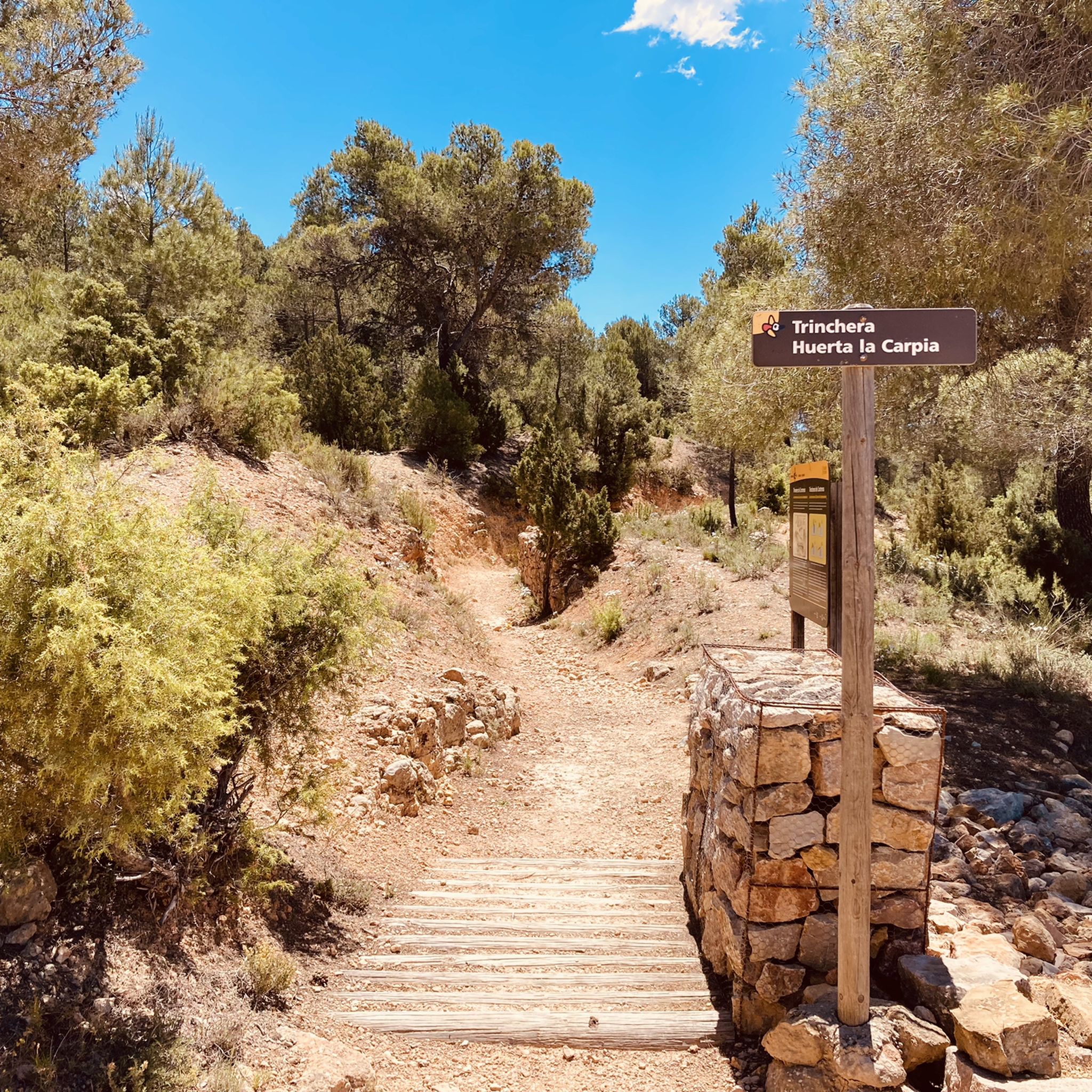
Yes, beyond its natural splendor, Hoces Del Cabriel offers several historical and cultural sites. You can find remnants of historical constructions like the Vadocañas Bridge and the Contreras Bridge - Cabriel River. The area also features trenches from the War of Independence, such as the Peñas Blancas Path Trench, offering a glimpse into the past.
What is the best time of year for touring cycling in Hoces Del Cabriel?
Hoces Del Cabriel is suitable for cycling for much of the year. Spring and autumn generally offer the most pleasant temperatures for touring cycling, avoiding the intense heat of summer and the cooler, potentially wetter conditions of winter. These seasons also showcase the region's diverse flora at its best.
What wildlife might I encounter while cycling in Hoces Del Cabriel?
As a Special Protection Area for Birds (SPA) and part of the UNESCO Cabriel Valley Biosphere Reserve, Hoces Del Cabriel is home to diverse wildlife. Cyclists might spot various raptor species like Bonelli's eagles and golden eagles. The Cabriel River is also known for European otters and freshwater crayfish, particularly in the well-preserved riverside forests.
Are there any family-friendly touring cycling routes in Hoces Del Cabriel?
While many routes are rated moderate to difficult, some sections or shorter loops might be suitable for families with older children or those accustomed to varied terrain. For example, the Casa Lazaro – Los Topos loop from Casas de Eufemia is a moderate 19.4 km route that could be considered, depending on the family's cycling experience.
What do other touring cyclists enjoy most about cycling in Hoces Del Cabriel?
The touring cycling routes in Hoces Del Cabriel are highly rated by the komoot community, with an average score of 4.5 stars. Cyclists often praise the dramatic landscapes, the clear turquoise waters of the Cabriel River, and the challenging yet rewarding terrain that offers a true sense of adventure.
Is it possible to combine cycling with other activities like wild swimming?
The Cabriel River is celebrated as one of Spain's cleanest and most beautiful rivers, known for its clear, turquoise waters. While specific wild swimming spots are not detailed in the route information, the river's pristine nature suggests opportunities for a refreshing dip after a ride, especially during warmer months. Always check local regulations and safety conditions.
Where can I find parking for touring cycling routes in Hoces Del Cabriel?
Many touring cycling routes in Hoces Del Cabriel start from villages or specific points within the natural park. It is generally advisable to look for designated parking areas in towns like Villargordo del Cabriel or near popular access points such as the Contreras Dam, which serves as a starting point for routes like the Contreras Dam – Cabriel Valley Viewpoint loop.
Are there options for public transport to access cycling routes in Hoces Del Cabriel?
While the region is primarily accessed by car, some of the smaller towns and villages bordering the natural park may have limited public transport connections. For detailed information on bus routes or train services that might accommodate bicycles, it's recommended to consult local transport authorities or resources like Visit Valencia's nature section for general travel advice to the area.
Most popular routes in Hoces Del Cabriel
Most popular attractions in Hoces Del Cabriel

Get inspired with the komoot mobile app


Explore more
Browse the best Cycling routes in other regions.
