The best road cycling routes around Peterskirchen
4.5
(149)
3,451
riders
12
rides
Road cycling routes around Peterskirchen traverse a diverse landscape, featuring both gentle river valleys and a distinct hilly terrain. The region offers a network of mostly paved surfaces, including quiet roads and cycleways, suitable for road biking. Cyclists can explore areas near the Hausruck Forest, which provides a scenic backdrop, and follow paths along river landscapes such as the Pram. This varied topography presents options for different fitness levels, from leisurely rides to more challenging excursions.
Best road cycling routes…
Last updated: October 5, 2026
4.0
(1)
13
riders
57.9km
02:36
610m
610m
Moderate road ride. Good fitness required. Mostly well-paved surfaces and easy to ride.
9
riders
50.4km
02:29
640m
640m
Moderate road ride. Good fitness required. Mostly well-paved surfaces and easy to ride.

5.0
(1)
9
riders
44.6km
02:04
340m
340m
Moderate road ride. Good fitness required. Mostly well-paved surfaces and easy to ride.
9
riders
Moderate road ride. Good fitness required. Mostly well-paved surfaces and easy to ride.
5.0
(1)
6
riders
27.0km
01:23
230m
230m
Moderate road ride. Great for any fitness level. Some segments of this route may be unpaved and difficult to ride.
Get access to more routes and recommendations from other explorers.
Already have an account?
Our route recommendations are based on thousands of hikes, rides, and runs completed by other people on komoot.
Start today with a free account
Your next adventure awaits.
Tips from the Community

Ried is situated in the heart of the Innviertel hill country, in a depression of the Alpine foothills north of the Hausruck Forest. The town's name derives from the Middle High German word "Riet" (also: "Rieth," "Reet," "Rohr," and similar terms), meaning reeds growing on riverbanks and marshy ground. A spot where the gradient of the two rivers, Oberach and Breitsach, slowed and saturated the soil gave the town its name. The two rivers converge north of the old town to form the Rieder Bach, a stream that flows for 2.6 kilometers before emptying into the Antiesen River outside the town limits. Ried im Innkreis lies at an altitude of 433 meters. It extends 3.2 kilometers from north to south and 3.6 kilometers from west to east, covering a total area of 6.7 square kilometers.
3
0

The hike around the Pramer reservoir is considered easy and covers 1.8 km.
0
0
The Pramtal reservoir or retention basin is located in the municipalities of Taiskirchen im Innkreis, Pram and Dorf an der Pram.
0
0
Peterskirchen is a municipality in Upper Austria in the district of Ried im Innviertel with 661 inhabitants. The municipality lies in the judicial district of Ried im Innkreis.
0
0
The small church "on the hill" has a long tradition. It was named after the Capuchin friars.
0
0

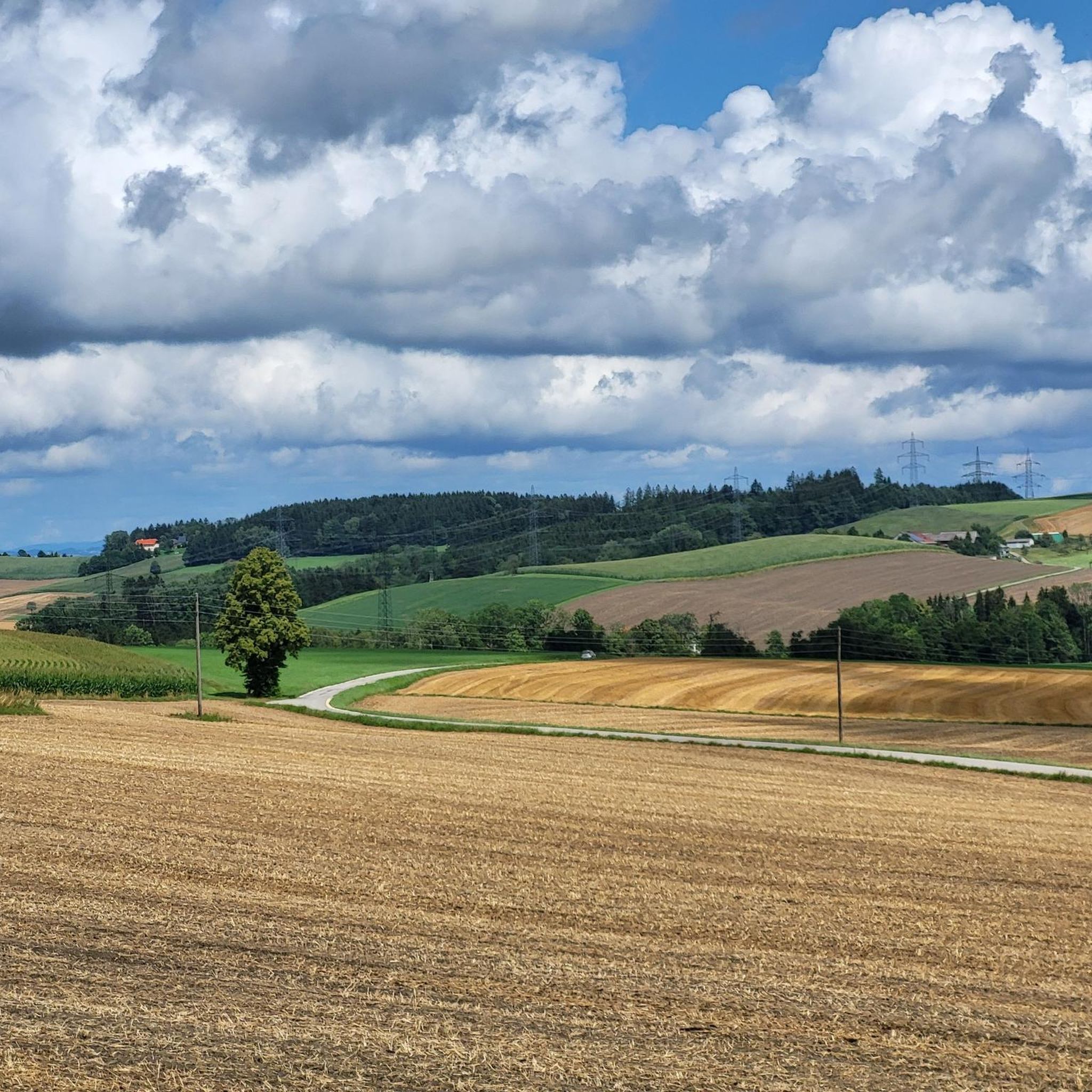
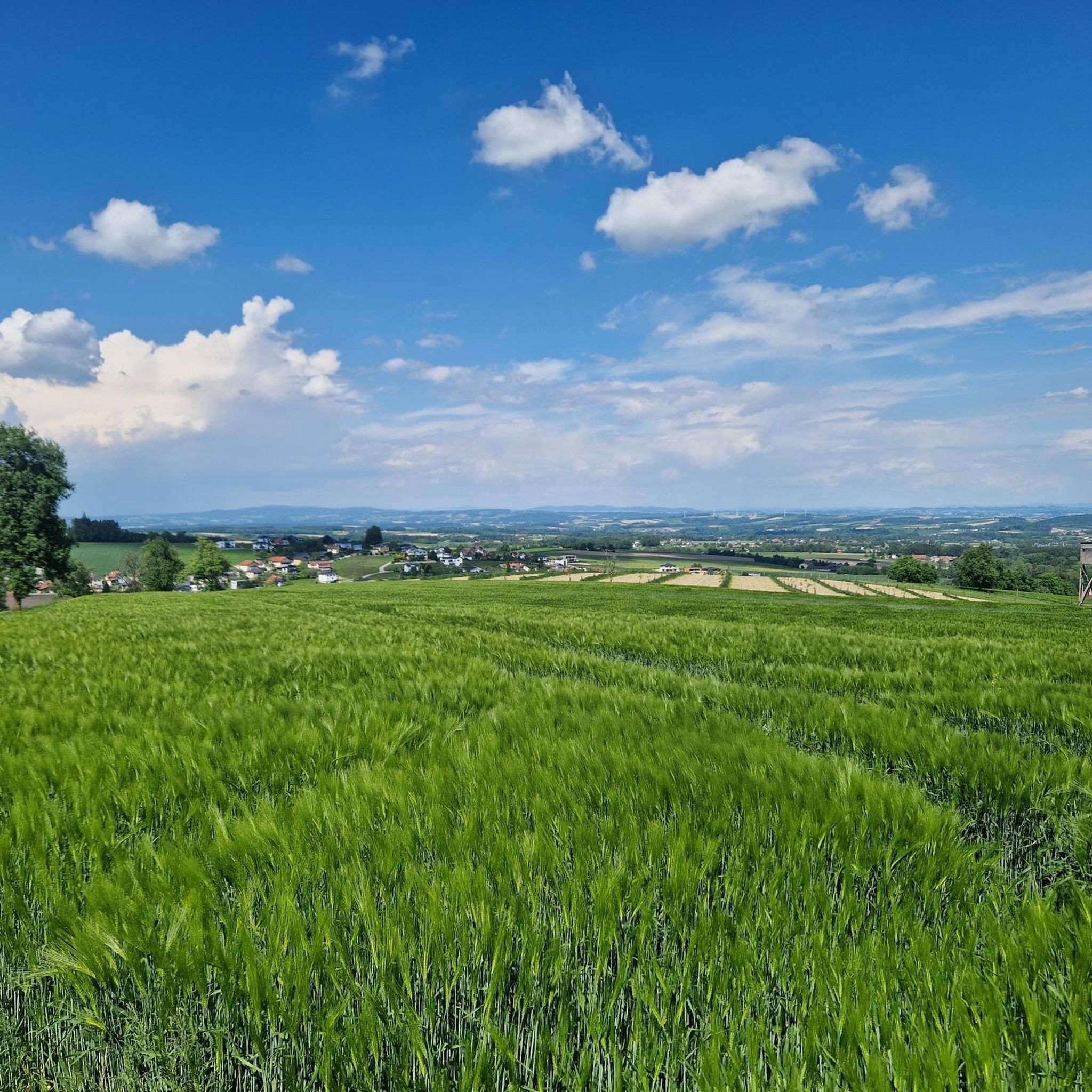
Fine idyll, little traffic, invites you to relax & enjoy the ambience
0
0


Frequently Asked Questions
How many road cycling routes are available around Peterskirchen?
Peterskirchen offers a wide selection of road cycling routes, with over 360 options to explore. These routes cater to various skill levels, from leisurely rides to more challenging excursions.
What kind of terrain can I expect on road cycling routes near Peterskirchen?
The region around Peterskirchen features a diverse landscape. You'll find a mix of mostly paved surfaces, including quiet roads and cycleways, traversing both gentle river valleys and distinct hilly terrain. The presence of the Hausruck Forest also provides scenic backdrops and potentially shaded routes.
Are there options for less experienced road cyclists or those seeking an easier ride?
Yes, Peterskirchen offers numerous leisurely tours with only slight inclines, perfect for recreational cyclists or those looking for an easier ride. Approximately 45 routes are classified as easy, providing a gentle introduction to the area's cycling opportunities.
Are there challenging road cycling routes for experienced riders?
Absolutely. For more ambitious riders, Peterskirchen provides challenging cycling routes, often on smaller, winding roads through the hilly landscape, away from main thoroughfares. There are over 50 routes classified as difficult, with options like the Peterskirchen Church – Farmhouses Near Hartlberg loop from Peterskirchen, which features over 600 meters of elevation gain.
What natural features or landmarks can I see along road cycling routes in Peterskirchen?
Road cycling routes around Peterskirchen offer access to several natural features and landmarks. You can explore areas near the Hausruck Forest, discover the Source of the Pram, or visit the Luisenhöhe Observation Deck for panoramic views. Some routes also pass by the Pram Reservoir.
Are there any scenic viewpoints accessible by road bike?
Yes, several routes offer scenic viewpoints. For instance, the Peterskirchen Church – Gumpinger Kreuz Viewpoint loop from Andrichsfurt leads to a viewpoint over the hilly landscape, providing rewarding vistas after a significant ascent. The Luisenhöhe Observation Deck is also a notable spot for spectacular 360° panoramic views.
Are there loop road cycling routes available around Peterskirchen?
Many road cycling routes in Peterskirchen are designed as loops, offering convenient starting and ending points. Examples include the popular Pram Reservoir – Zell an der Pram Castle loop from Andrichsfurt and the Ried im Innkreis City Park – Main Square, Ried im Innkreis loop from Peterskirchen.
Where can I find places to rest or get refreshments during a ride?
The region offers several spots for rest and refreshments. Nearby towns like Haag am Hausruck feature inns in their market squares, which are ideal for a break. The Ried im Innkreis City Park also provides a pleasant recreational area with a small lake for relaxation.
Is parking available for road cyclists in Peterskirchen?
While specific parking areas for cyclists are not detailed, Peterskirchen and surrounding towns generally offer public parking options. It's advisable to check local signage upon arrival for the most convenient spots near your chosen route's starting point.
What do other road cyclists appreciate most about the routes in Peterskirchen?
The road cycling routes in Peterskirchen are highly rated by the komoot community, with an average score of 4.6 stars from over 80 reviews. Cyclists often praise the varied terrain, which offers both leisurely rides and challenging excursions, as well as the scenic backdrops provided by the hilly landscape and proximity to the Hausruck Forest.
Are there any facilities for e-bike users in the area?
Yes, for those using e-bikes, charging stations are available in nearby towns such as Haag am Hausruck. This makes it convenient for extending your tours and exploring more of the region's diverse landscapes.
Can I find routes that connect to other towns or points of interest?
Many routes are designed to connect various points of interest. For example, the Ried im Innkreis – Kaiserlinde Geinberg loop from Peterskirchen offers a longer ride that links different locations, allowing you to explore beyond Peterskirchen itself.
Most popular attractions around Peterskirchen

Get inspired with the komoot mobile app


Explore more
Browse the best Road cycling routes in other regions.
