The best walks and hikes around Petersaurach
4.2
(88)
332
hikers
64
hikes
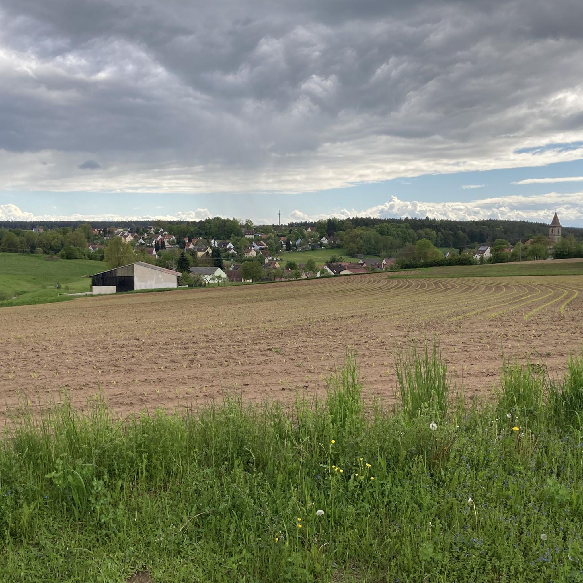
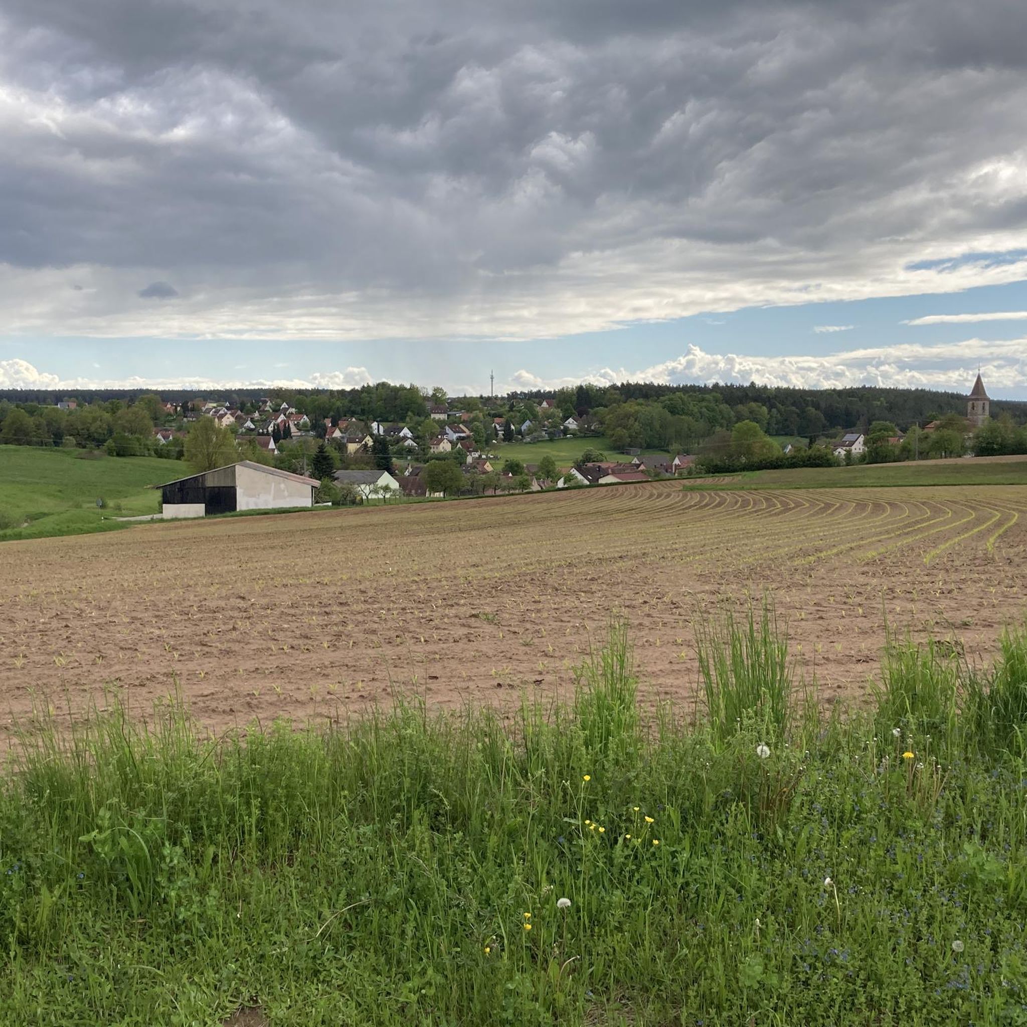
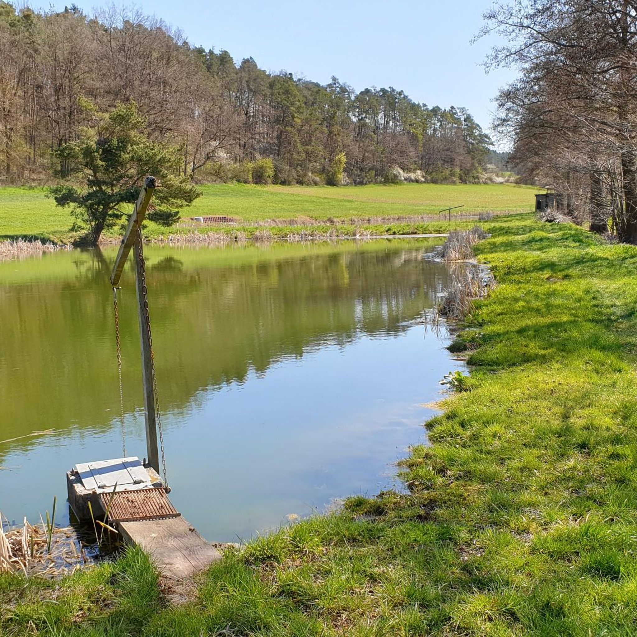
Hiking around Petersaurach offers diverse terrain across picturesque landscapes near Ansbach, Germany. The region features grass-covered hills, dense forests, and traditional farmlands. The Aurach river and its valley provide unspoilt natural settings for trails, while areas like the Dohnwald forest offer routes past carp ponds.
Best hiking trails around Petersaurach
- The most popular hiking route is Jakobsweg Stage 4: Earth – Idyllic Forest Hiking Trail loop from St. Maria, a 7.6 miles (12.3 km) trail that takes 3 hours…
Last updated: July 5, 2026
3.7
(3)
12
hikers
4.60km
01:12
30m
30m
Easy hike. Great for any fitness level. Easily-accessible paths. Suitable for all skill levels.
4.8
(12)
26
hikers
Moderate hike. Good fitness required. Easily-accessible paths. Suitable for all skill levels.

Sign up for free
4.7
(3)
21
hikers
23.2km
06:11
250m
250m
Hard hike. Very good fitness required. Easily-accessible paths. Suitable for all skill levels.
4.0
(2)
8
hikers
18.2km
04:50
170m
170m
Moderate hike. Good fitness required. Easily-accessible paths. Suitable for all skill levels.
5.0
(4)
21
hikers
Moderate hike. Good fitness required. Easily-accessible paths. Suitable for all skill levels.
Get access to more routes and recommendations from other explorers.
Sign up for free
Already have an account?
Our route recommendations are based on thousands of hikes, rides, and runs completed by other people on komoot.
Start today with a free account
Your next adventure awaits.
Login or Signup

Other adventures around Petersaurach

Tips from the Community

S-Bahn station Petersaurach Nord a tunnel goes under the tracks.
0
0
Opposite is the Dorn-Bräu brewery and restaurant, where you can get good Franconian beer and food.
0
0

A magnificent cathedral with the tombs of the first burgraves and margraves. Pilgrims receive a stamp at the entrance.
0
0

The market square is located in the heart of Heilsbronn and is surrounded by historic buildings. The market square has recently been renovated, including paving work and the restoration of the market square fountain. The market square is home to various important buildings such as the town hall, the monastery slaughterhouse and several shops.
0
0

The frequently changing art exhibitions in the cathedral are also worth seeing. The contrast between the Gothic cathedral and modern art is very attractive.
1
0
From the 13th to the 17th century, the cathedral was the burial place of the Hohenzollern family. Several high graves can be seen in the central nave, and further graves are in the crypt.
1
0

You just want to hug him.
0
0
This is one of the four beads of the Way of St. James, which represent the four elements. Here is the "Earth" station.
0
0
Frequently Asked Questions
How many hiking trails are available around Petersaurach?
There are over 60 hiking routes in the Petersaurach area, catering to various skill levels. This includes 44 easy trails, 20 moderate paths, and one more challenging route for experienced hikers.
Are there any family-friendly hiking options in Petersaurach?
Yes, Petersaurach offers many easy trails suitable for families. The region's picturesque landscapes, with grass-covered peaks and traditional farmlands, provide a pleasant setting for leisurely walks. Consider exploring paths along the Aurach river for gentle terrain.
Can I bring my dog on the hiking trails in Petersaurach?
Many trails in Petersaurach are dog-friendly, allowing you to enjoy the natural surroundings with your canine companion. The diverse terrain, including forests and river valleys, offers varied environments for walks. Always ensure your dog is under control and check for any specific local regulations on individual routes.
Are there any circular hiking routes in the Petersaurach area?
Yes, Petersaurach features several circular routes. For a moderate option, you could explore the Oak and pine in an embrace – Täufer Farm Shop loop from Petersaurach, which offers a pleasant journey through the local landscape.
What kind of natural features can I expect to see while hiking in Petersaurach?
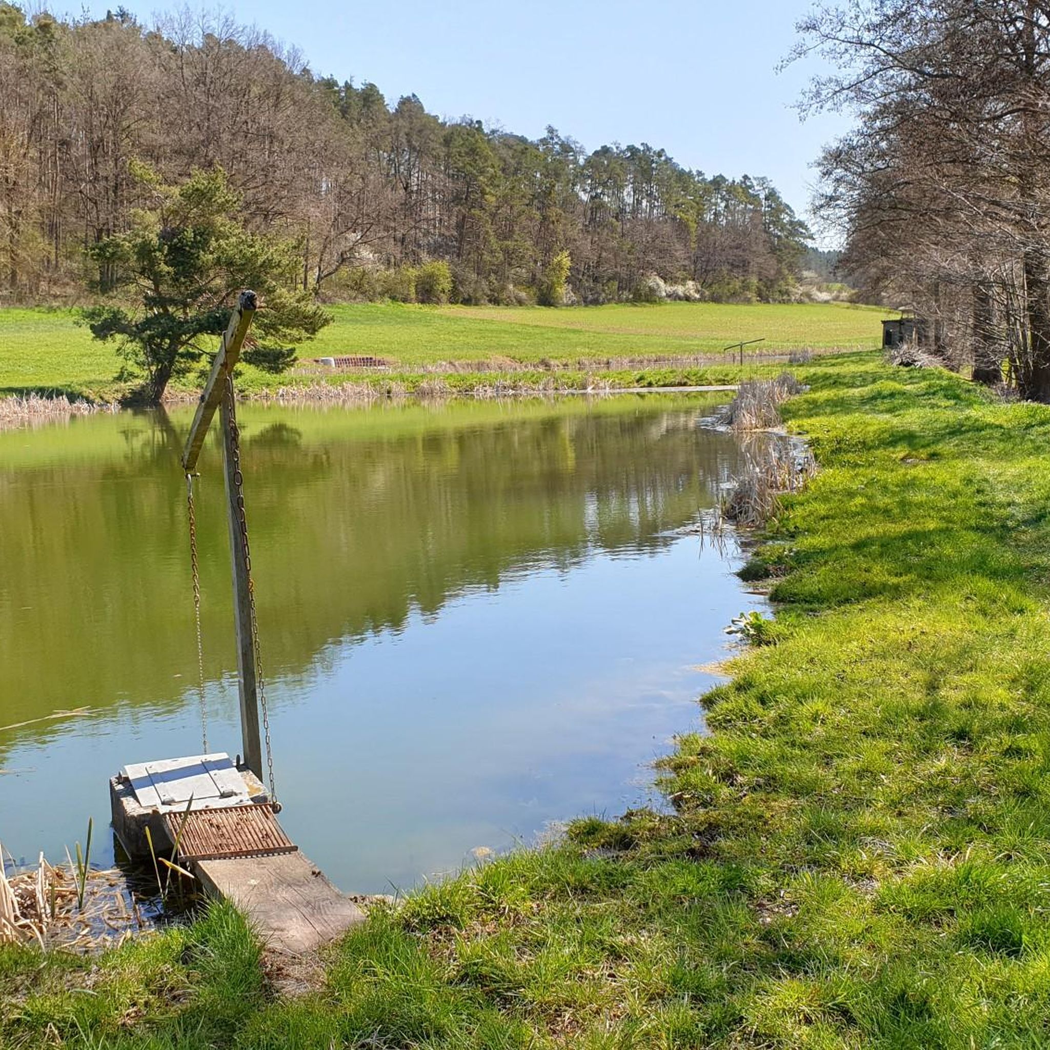
Hikers in Petersaurach will encounter diverse natural features, including grass-covered peaks, dense forests, and traditional farmlands. The Aurach river and its valley are prominent, offering unspoilt natural settings. You might also find tranquil spots like the Ziegendorfer Weiher (pond) near the Schau- und Lehrgarten.
Are there any historical or cultural landmarks along the hiking trails?
Petersaurach is rich in historical and cultural points of interest. A section of the Middle Franconian Way of St. James (Jakobsweg) passes through the area, featuring reflective stations. You can also visit the unique Leonrod Castle Ruins or the historic town center of Wolframs-Eschenbach Old Town, which are accessible from Petersaurach.
What do other hikers say about the trails in Petersaurach?
The hiking routes in Petersaurach are highly regarded by the komoot community, holding an average rating of 4.2 stars from over 80 reviews. Hikers often praise the picturesque landscapes, the variety of terrain, and the well-maintained paths that make exploring the region enjoyable.
Are there any challenging hikes for experienced trekkers?
While most trails are easy to moderate, there is one difficult route for those seeking a greater challenge. The Birnbaum Pond – Heilsbronn Market Square loop from Petersaurach Nord is a longer trail, covering 23.6 km, and leads through forests and open countryside, requiring about 6 hours and 18 minutes to complete.
What is the best time of year to go hiking in Petersaurach?
Petersaurach offers beautiful hiking experiences throughout much of the year. The picturesque landscapes, dense forests, and river valleys are particularly inviting in spring and autumn when the weather is mild and the scenery is vibrant. Summer also provides good conditions, while winter hiking can be enjoyed on suitable trails.
Are there any trails that offer a reflective or contemplative experience?
Yes, Petersaurach is home to paths designed for reflection. The Hirtenweg (Shepherd's Path) on the outskirts of Petersaurach features 12 stations based on Psalm 23. Additionally, a special detour from the St. Maria Church in Großhaslach, part of the Middle Franconian Way of St. James, leads to the 'Vier Perlen am Jakobsweg' (Four Pearls on the Way of St. James), offering opportunities for quiet contemplation amidst nature.
Are there any specific attractions near Petersaurach that are worth visiting after a hike?
Beyond the trails, Petersaurach's location allows for easy access to nearby attractions. You could visit the Ansbach Residence for a historical experience or enjoy a leisurely stroll through the Hofgarten and Orangery in Ansbach. The unique Lichtenau Fortress is also within reach.
Most popular routes around Petersaurach
Most popular attractions around Petersaurach

Get inspired with the komoot mobile app


Explore more
Browse the best Hikes in other regions.
