The best road cycling routes in Cadí-Moixeró
4.6
(152)
16,246
riders
158
rides
Road cycling in Cadí-Moixeró offers routes through the Pre-Pyrenean landscapes of the Cadí and Moixeró mountain ranges. The region features rugged terrain with deep valleys, dramatic limestone cliffs, and extensive forests primarily composed of pine, fir, and beech. Roads traverse diverse ecosystems, providing varied elevations and challenging ascents for cyclists. This area is home to the second largest natural park in Catalonia.
Best road cycling routes in Cadí-Moixeró
- The most popular road cycling route is Coll de la Trava – Col de la Trava Peak loop from Tuixent, a 67.2 miles (108.1 km) trail that takes 6 hours 2 minutes to complete. This difficult route features significant elevation gain through mountainous terrain.
- Another top favourite among local road cyclists is Pla de Canters Road – Queixans Rural Path loop from Riu de Cerdanya, a moderate 26.4 miles (42.5 km) path. This route winds through rural landscapes, offering a less strenuous option.
- Local road cyclists also love the Collada de Sant Isidre – Church of La Nou de Berguedà loop from Gósol, a 44.1 miles (71.0 km) trail leading through challenging mountain passes, often completed in about 4 hours 34 minutes.
- Road cycling in Cadí-Moixeró is defined by Pre-Pyrenean mountain ranges, deep valleys, and dense forests, with options for easy, moderate, and difficult routes catering to various fitness levels.
- The routes in Cadí-Moixeró are highly rated by the komoot community with an average score of 4.6 stars from over 170 reviews. More than 19,000 road cyclists have used komoot to explore Cadí-Moixeró's varied terrain.
Last updated: May 15, 2026
4.7
(7)
421
riders
108km
06:02
2,370m
2,370m
Hard road ride. Very good fitness required. Mostly well-paved surfaces and easy to ride.
5.0
(1)
160
riders
42.5km
02:09
530m
530m
Moderate road ride. Good fitness required. Some segments of this route may be unpaved and difficult to ride.

Sign up for free
5.0
(4)
64
riders
81.7km
04:35
1,830m
1,830m
Hard road ride. Very good fitness required. Mostly well-paved surfaces and easy to ride.
4.5
(2)
63
riders
142km
08:03
3,280m
3,280m
Hard road ride. Very good fitness required. Mostly well-paved surfaces and easy to ride.
5.0
(1)
65
riders
39.5km
02:28
1,110m
1,110m
Hard road ride. Very good fitness required. Mostly well-paved surfaces and easy to ride.
Get access to more routes and recommendations from other explorers.
Sign up for free
Already have an account?
Our route recommendations are based on thousands of hikes, rides, and runs completed by other people on komoot.
Start today with a free account
Your next adventure awaits.
Login or Signup
Popular around Cadí-Moixeró
10 hikes with teenagers — Catalan paradises
Great Hiking Routes of Catalonia
Cathar Route from Catalonia to France – Bons Homes Path (GR 107)
On foot from France to Montserrat – GR 4
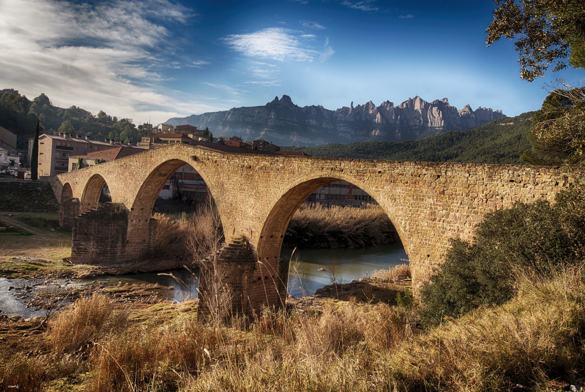
The river of Barcelona – El Camí del Llobregat
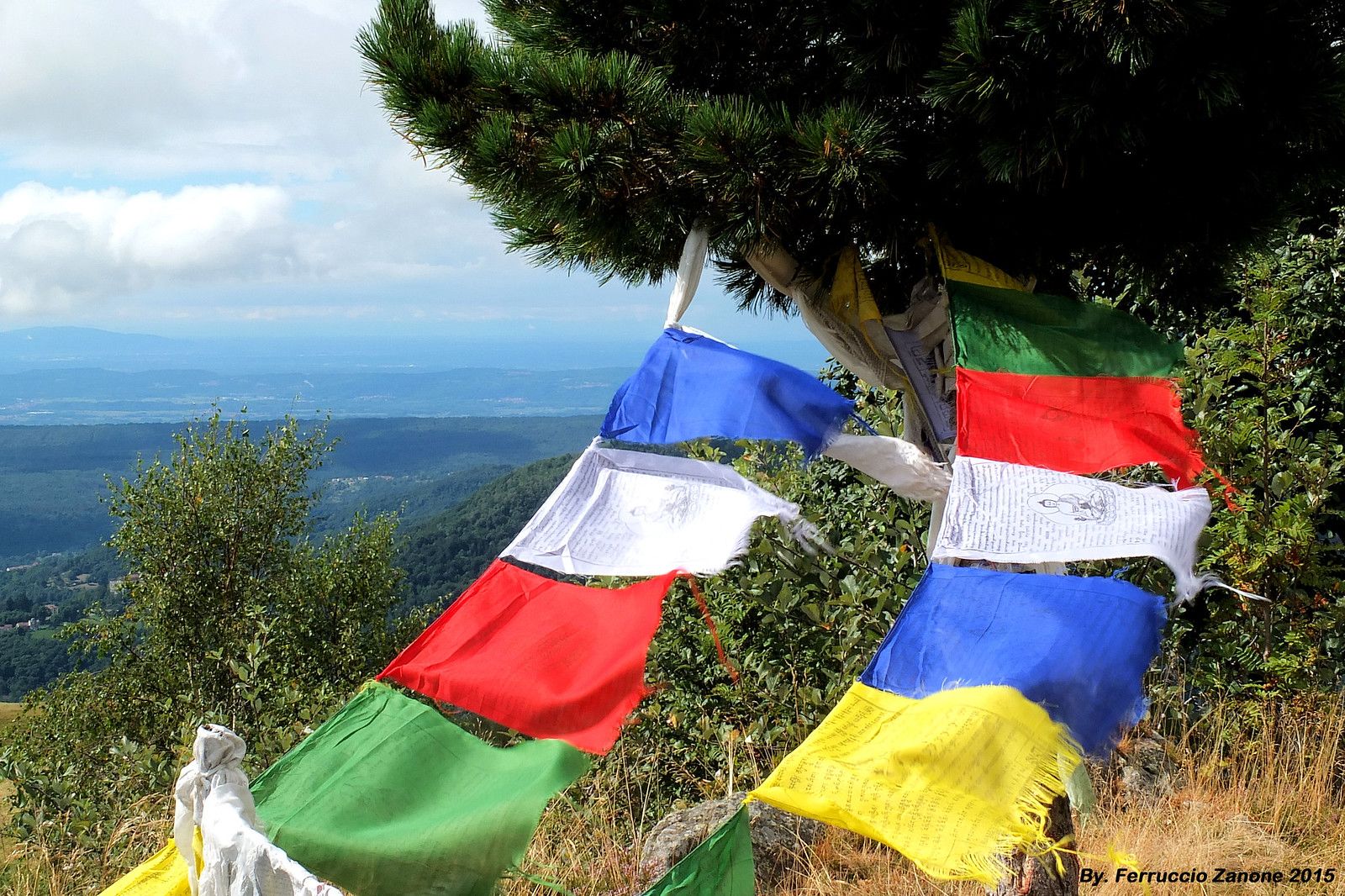
The symbol of Nepal in the Pyrenees – Cavalls del Vent
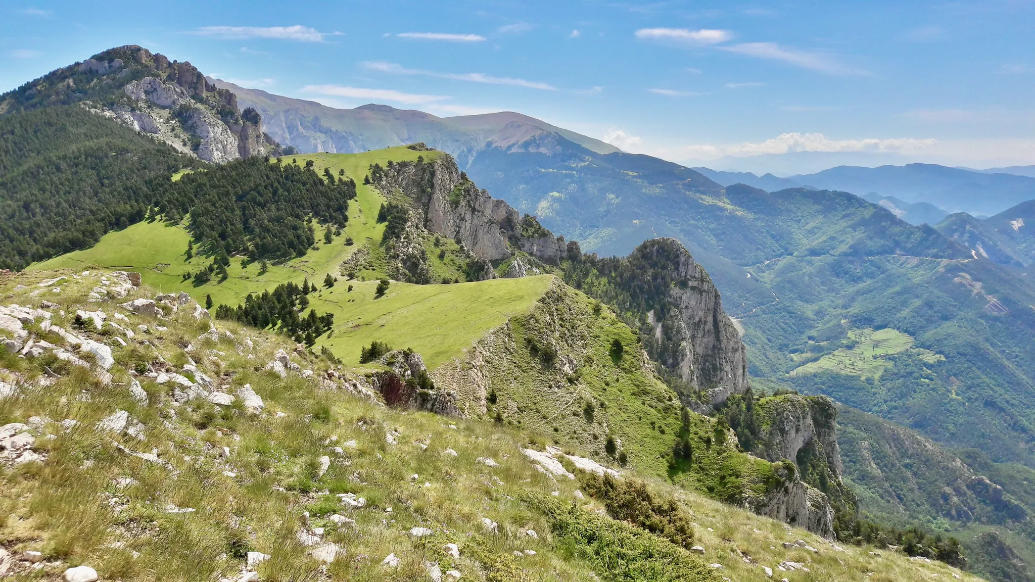
Hiking in Cavalls del Vent — Spain’s Parque Natural Cadí-Moixeró
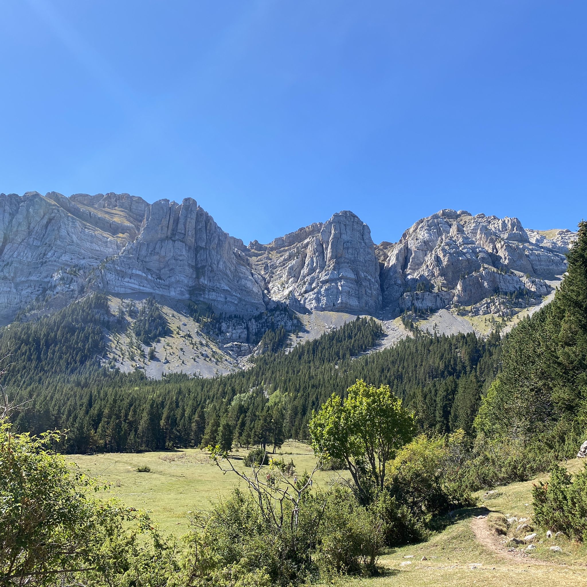
Hiking in Cadí-Moixeró
Running Trails in Cadí-Moixeró
MTB Trails in Cadí-Moixeró
Other adventures in Cadí-Moixeró


Tips from the Community

Stopping at the Hotel Fonts del Cardener for a coffee, a snack, or a chat is always a pleasure. The surroundings of the Vall de Lord are well worth the time.
0
0

New sculpture and tribute to the bike that has been promoted by the Regional Council, to give visibility to the importance of cycling in Berguedà. Now we have a new milestone to frame the challenge of crowning the Coll de Pradell, brutal!!
0
0

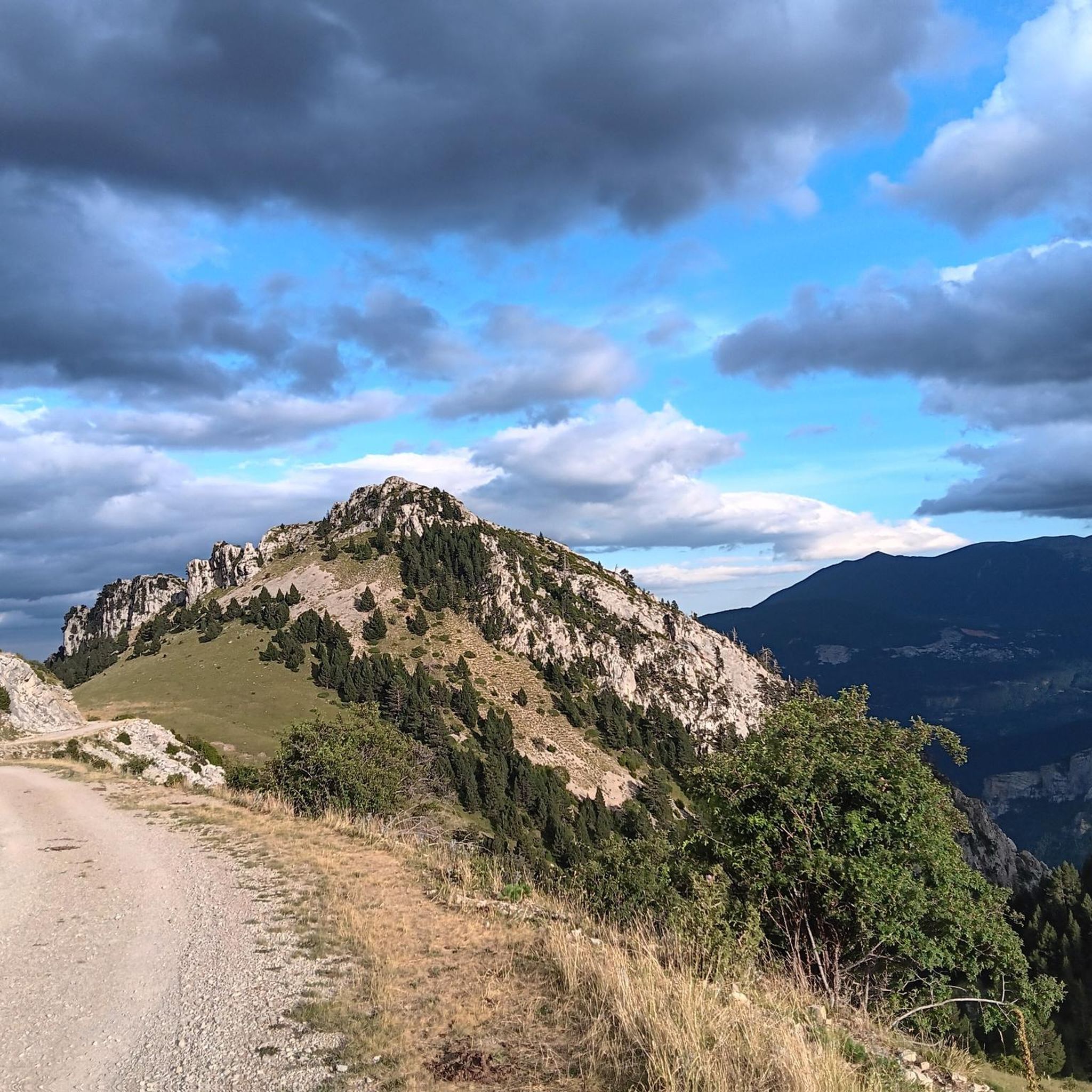
A very beautiful pass, as these mountains encompass the best of the mid- and high mountains. The landscape is magnificent, with beautiful views of Pedraforca Mountain. It is undoubtedly one of the most beautiful climbs in Alt Berguedà. Pedraforca is one of the most iconic mountains in Catalonia. This mountain has a very distinctive shape, with two peaks (the upper peak at 2,497 meters and Calderer at 2,491 meters). The nearest towns are Gósol and Saldes. Pedraforca is located in the Cadí mountain range.
0
0

Coll de Josa, between Gòsol and Josa del Cadí. Inflection point on the road, you go up here and from here you go down.
1
0

Coll de Josa from Tuixent is a climb in the Spanish Pyrenees region. It has a length of 11.2 kilometers and an ascent of 517 vertical meters with an average gradient of 4.6%, the top of the ascent is located at 1630 meters above sea level.
1
0
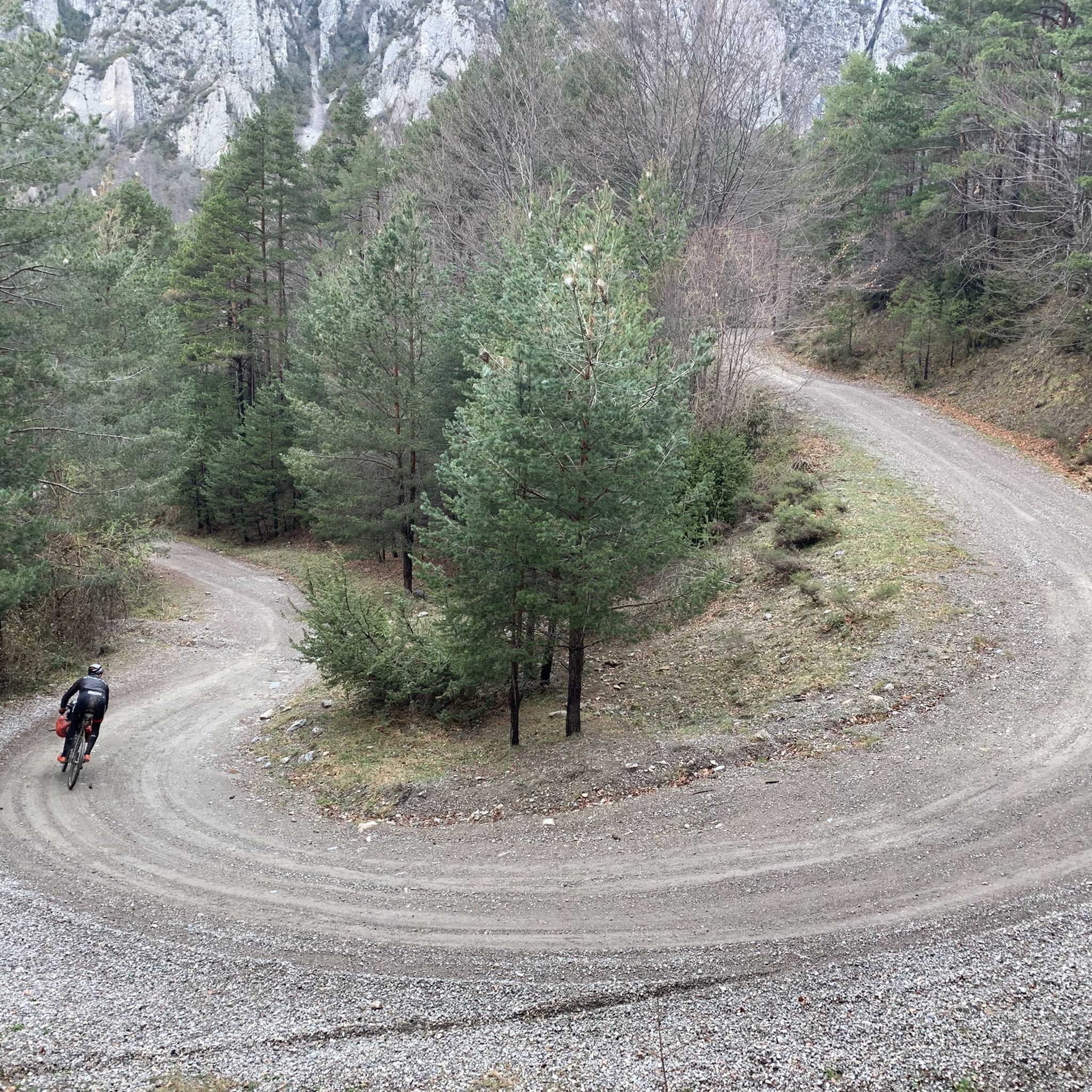
Stunning view looking down on the serpentine road below
1
0

Small and rustic town in the Cerdanya valley. Near the Cadí Tunnel, next to Alp and very close to Bellver, it is perfect to settle down for a few days. In the town there are some shops and restaurants where you can eat very well. The views of the valley from Das are wide and beautiful.
0
0
It is a very good alternative to cross to France and avoid the Puigcerdà pass, especially if you want to go to the Puigmal or Coma Morera area.
0
0
Frequently Asked Questions
What is the terrain like for road cycling in Cadí-Moixeró?
Cadí-Moixeró offers a diverse and challenging terrain for road cyclists. The region is characterized by impressive Pre-Pyrenean landscapes, with altitudes ranging from 900 meters in the valleys to peaks exceeding 2,500 meters. You'll encounter rugged mountain ranges, dramatic limestone cliffs, deep valleys, and extensive forests of pine, fir, and ancient beech. Roads often feature significant elevation gains, providing a rewarding experience for those seeking climbs.
Are there road cycling routes suitable for beginners in Cadí-Moixeró?
Yes, Cadí-Moixeró offers options for less experienced riders. While many routes are challenging, there are 13 routes classified as easy and 71 as moderate. These typically involve shorter durations and less elevation gain, allowing you to enjoy the picturesque countryside without extreme demands. For example, routes like Pla de Canters Road – Queixans Rural Path loop from Riu de Cerdanya offer a moderate, less strenuous option through rural landscapes.
What natural features or landmarks can I see while road cycling in Cadí-Moixeró?
The park is rich in natural beauty and cultural heritage. As you cycle, you might encounter the iconic Penyes Altes del Moixeró, part of the imposing Cadí and Moixeró mountain ranges. Other notable features include the dramatic sheer cliffs, deep valleys, and diverse ecosystems with extensive forests. You can also pass through charming medieval villages that preserve traditional stone architecture, such as Gòsol and Prullans.
When is the best time of year for road cycling in Cadí-Moixeró?
The best time for road cycling in Cadí-Moixeró is generally from spring through autumn. During these seasons, the weather is more favorable, and the higher mountain passes are typically clear of snow. While the region offers activities year-round, some roads at higher altitudes, like those crossing subalpine terrains to Coll de Pal and Coll de la Creueta, might be affected by snow in winter.
Are there challenging road cycling routes for experienced cyclists?
Absolutely. Cadí-Moixeró is a haven for experienced road cyclists seeking a challenge. There are 86 routes classified as difficult, featuring significant elevation gains and long distances. A prime example is the Coll de la Trava – Col de la Trava Peak loop from Tuixent, which spans over 108 km with more than 2,300 meters of elevation gain. Another demanding option is the Castellar de n'Hug – Coll de la Creueta loop from Sant Julià de Cerdanyola, leading through the high-altitude Coll de la Creueta pass.
What do other road cyclists enjoy most about road cycling in Cadí-Moixeró?
The road cycling routes in Cadí-Moixeró are highly rated by the komoot community, with an average score of 4.6 stars from over 170 reviews. Cyclists often praise the stunning Pre-Pyrenean landscapes, the diverse ecosystems, and the rewarding climbs. The well-maintained roads and the variety of routes catering to different fitness levels are also frequently highlighted as positive aspects.
Are there any particularly scenic road cycling routes in the park?
Many routes in Cadí-Moixeró offer breathtaking scenery. The roads wind through picturesque countryside, offering hidden paths and panoramic views of the Cadí and Moixeró mountain ranges. Routes that traverse the subalpine terrains, such as those leading to Coll de Pal and Coll de la Creueta, are particularly known for their scenic beauty and opportunities for wildlife spotting.
Are there many circular road cycling routes in Cadí-Moixeró?
Yes, many of the road cycling routes in Cadí-Moixeró are designed as loops, allowing you to start and finish at the same point. This is convenient for planning your ride and often provides a varied experience without retracing your path. Examples include the La Pobla de Lillet – Coll de Merolla loop from Bagà and the La Pobla de Lillet – Collada de Sobirana loop from Bagà.
What are some of the longer road cycling routes in the park?
For those looking for longer rides, Cadí-Moixeró offers several extensive routes. The 'Cadí Challenge' is a notable example, providing a comprehensive road bike tour around the natural park, spanning 217 km with significant elevation gain. Within our curated routes, the Coll de la Trava – Col de la Trava Peak loop from Tuixent is one of the longest, covering over 108 km.
Is Cadí-Moixeró Natural Park suitable for road cycling with a family?
While many routes are challenging, Cadí-Moixeró does offer some easier options that could be suitable for families with older children or those with good cycling experience. Look for routes classified as 'easy' or 'moderate' with less elevation gain and shorter distances. It's always recommended to check the specific route details, including distance and elevation, to ensure it matches your family's fitness level.
Where can I find more information about Cadí-Moixeró Natural Park?
For general information about the Cadí-Moixeró Natural Park, including its natural beauty, cultural heritage, and conservation efforts, you can visit the official tourism website for Spain: spain.info. This resource provides broader context about the region beyond cycling-specific details.
Most popular routes in Cadí-Moixeró
Most popular attractions in Cadí-Moixeró

Get inspired with the komoot mobile app


Explore more
Browse the best Road cycling routes in other regions.
