The best road cycling routes in Ponga
4.3
(31)
917
riders
25
rides
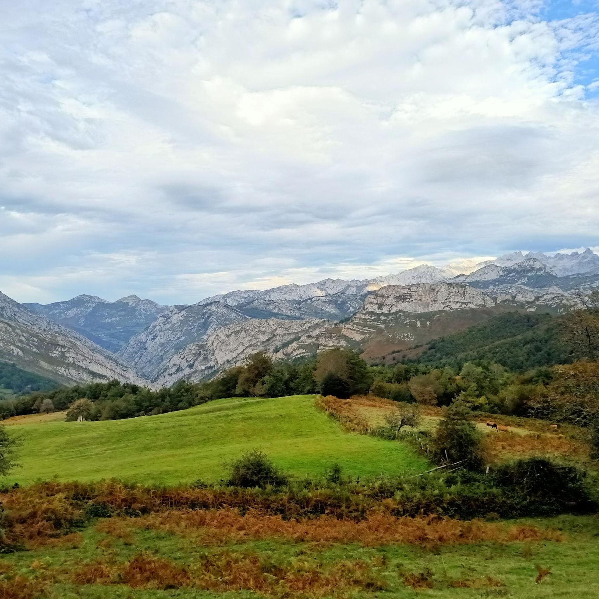
Road cycling routes in Ponga traverse a rugged landscape within the Cantabrian Mountains, characterized by middle and high mountains, deep fluvial valleys, and dramatic gorges. The region features extensive ancient beech forests, such as the Peloño Forest, alongside limestone karst formations. Rivers like the Sella and Ponga have carved narrow valleys with sheer slopes, providing challenging terrain for road cyclists.
Best road cycling routes in Ponga
- The most popular road cycling route is Medieval Bridge of the Dobra – Views…
Last updated: May 20, 2026
5.0
(1)
108
riders
62.4km
03:21
1,180m
1,180m
Hard road ride. Very good fitness required. Some segments of this route may be unpaved and difficult to ride.
5.0
(1)
85
riders
109km
06:31
2,710m
2,710m
Hard road ride. Very good fitness required. Some segments of this route may be unpaved and difficult to ride.

Sign up for free
13
riders
49.6km
03:01
1,320m
1,320m
Hard road ride. Very good fitness required. Mostly well-paved surfaces and easy to ride.
5.0
(1)
88
riders
50.3km
03:37
1,910m
1,910m
Hard road ride. Very good fitness required. Mostly well-paved surfaces and easy to ride.
9
riders
36.0km
02:35
1,100m
1,100m
Hard road ride. Very good fitness required. Mostly well-paved surfaces and easy to ride.
Get access to more routes and recommendations from other explorers.
Sign up for free
Already have an account?
Our route recommendations are based on thousands of hikes, rides, and runs completed by other people on komoot.
Start today with a free account
Your next adventure awaits.
Login or Signup
Popular around Ponga
Tips from the Community

The bridge is known as the Roman Bridge of Cangas de Onís and also bears the nicknames „Puente Vieyu” or „Puentón”. It is a very beautiful sight of the Principality of Asturias
0
0
The bridge is known as the Roman Bridge of Cangas de Onís and also bears the nicknames „Puente Vieyu“ or „Puentón“. It is a very beautiful sight of the Principality of Asturias.
0
0
The bridge is known as the Roman Bridge of Cangas de Onís and also bears the nicknames “Puente Vieyu” or “Puentón”. It is a very beautiful sight of the Principality of Asturias.
0
0

My opinion about Lake Enol is that it is the most beautiful and spectacular of the Lagos de Covadonga, and one of the most special mountain landscapes in Asturias. 🌊 Iconic image: its deep lake, the reflected mountains, and the grazing cows create a perfect postcard. 🏔️ Sense of grandeur: it conveys more "high mountain" than Lake Ercina. 📸 Very photogenic: especially with light fog, at dawn, or after rain. 🚶♀️ Accessible: it can be enjoyed without long hikes.
1
0

Puente Dobra was a key crossing point in the Middle Ages between the Castilian plateau and Asturias across the Cantabrian Mountains, via the Arcediano Trail. Today, it is a popular meeting place for bathers seeking to cool off in the turquoise waters of the Sella River during the summer.
1
0
Oseja de Sajambre, in the heart of the Picos de Europa National Park, is an ideal destination for lovers of nature, hiking, and traditional mountain architecture.
5
1

El Porru la Cabrona is a very tough climb on the climb to the Lakes of Covadonga, known for its demanding gradient that tests even the strongest cyclists. It's one of the legendary sections of this climb.
1
0
Although it is called Roman, its construction dates back to the High Middle Ages, probably the 13th century. There is a high probability that it was built on earlier Roman foundations. Whatever its date, the Cangas Bridge is one of the most emblematic monuments of Asturias. The river below the bridge is often quite deep, and swimmers can be seen jumping from the surrounding rocks.
1
0
Frequently Asked Questions
How many road cycling routes are available in Ponga?
Ponga offers a diverse selection of over 25 road cycling routes. These routes traverse the rugged landscapes of the Cantabrian Mountains, providing options for various fitness levels, though many are classified as difficult.
What is the general difficulty level of road cycling in Ponga?
Road cycling in Ponga is generally challenging, characterized by significant elevation gains and mountainous terrain. Most routes are classified as difficult, with 17 out of 26 routes falling into this category. For example, the Queen's Viewpoint – Collada Llomena loop from San Juan de Beleño / San Xuan features substantial climbs and panoramic vistas.
Are there any easy road cycling routes for beginners or those seeking a more relaxed ride?
While Ponga is known for its challenging terrain, there is at least one route classified as easy. However, the majority of routes are moderate to difficult, reflecting the region's mountainous character. It's advisable to check the route details for elevation profiles before setting out.
What kind of scenery can I expect on road cycling routes in Ponga?
Ponga's road cycling routes offer breathtaking scenery, including majestic mountains, deep fluvial valleys, and dramatic gorges carved by rivers like the Sella and Ponga. You'll also pass through extensive ancient beech forests, such as the Peloño Forest, and rugged karst formations. The Medieval Bridge of the Dobra – Views of the Roman bridge loop from Ponga offers scenic views of the surrounding mountainous terrain.
What are some notable landmarks or attractions along Ponga's road cycling routes?
Cyclists can encounter several notable landmarks and natural features. The routes often provide views of the Collada Llomena and the spectacular Los Beyos Gorge. Traditional villages like San Juan de Beleño also offer glimpses into Asturian rural heritage. The View of Oseja de Sajambre – Puerto de El Pontón (1280 m) loop from San Juan de Beleño / San Xuan leads through mountain passes and valleys with impressive vistas.
Are there any circular road cycling routes in Ponga?
Yes, many of Ponga's road cycling routes are designed as loops, allowing you to start and finish in the same location. Examples include the Medieval Bridge of the Dobra – Views of the Roman bridge loop from Ponga and the Amieva y Collada Llómena – circular desde Santiyán.
What is the best time of year for road cycling in Ponga?
The best time for road cycling in Ponga is typically from spring through autumn. During these seasons, the weather is generally more favorable, and the natural beauty of the beech forests, especially the Peloño Forest, is particularly striking. Winter can bring snow and colder temperatures, making many mountain passes inaccessible or more challenging.
What do other road cyclists say about their experience in Ponga?
The road cycling routes in Ponga are highly rated by the komoot community, with an average score of 4.5 stars from over 20 reviews. Cyclists often praise the challenging mountain climbs, the dramatic river gorges, and the dense woodlands that define the region's unique cycling experience.
Are there options for family-friendly road cycling in Ponga?
Due to Ponga's rugged and mountainous terrain, most road cycling routes are classified as difficult or moderate, involving significant elevation gains. While there is at least one easy route, families with younger children or those seeking very gentle rides might find limited options. It's recommended to carefully review route profiles for elevation and distance.
Where can I find parking for road cycling routes in Ponga?
Parking is generally available in and around the traditional villages that serve as common starting points for routes, such as San Juan de Beleño. For specific routes, it's advisable to check the route details on komoot, as many tours indicate suitable starting points with parking access.
Is public transport an option for accessing road cycling trails in Ponga?
Public transport options within Ponga Natural Park are limited due to its remote and protected nature. While some bus services connect larger towns to villages like San Juan de Beleño, bringing bicycles on these services might be restricted. It's generally more convenient to access the trails by car.
What is the longest road cycling route available in Ponga?
One of the longer and more challenging routes is the Queen's Viewpoint – Collada Llomena loop from San Juan de Beleño / San Xuan, which spans 67.3 miles (108.3 km) and features substantial climbs, requiring very good fitness.
Are there any specific road conditions to be aware of in Ponga?
Roads in Ponga generally feature well-paved surfaces, making them suitable for road cycling. However, given the mountainous terrain and deep gorges like the Beyos Gorge, some roads can be narrow. Cyclists should be prepared for winding roads and potential changes in surface quality, especially in more remote areas.
Most popular attractions in Ponga

Get inspired with the komoot mobile app


Explore more
Browse the best Road cycling routes in other regions.
