The best road cycling routes around Perkam
4.6
(387)
7,351
riders
32
rides
Road cycling routes around Perkam are situated in a region characterized by its proximity to the Danube River and the wider Straubing-Bogen area in Bavaria. The terrain generally features gentle elevations, with some routes offering views towards landmarks like Regensburg Cathedral. This area provides a network of road bike trails suitable for various skill levels, often following river courses or passing through agricultural landscapes.
Best road cycling routes around Perkam
- The most popular road cycling route is Grieser Footbridge –…
Last updated: July 5, 2026
4.6
(5)
49
riders
Moderate road ride. Good fitness required. Some segments of this route may be unpaved and difficult to ride.
4.7
(3)
34
riders
Moderate road ride. Good fitness required. Some segments of this route may be unpaved and difficult to ride.

Sign up for free
33
riders
91.0km
04:01
790m
790m
Moderate road ride. Good fitness required. Mostly well-paved surfaces and easy to ride.
2.7
(3)
25
riders
58.3km
02:13
120m
120m
Moderate road ride. Good fitness required. Mostly well-paved surfaces and easy to ride.
20
riders
71.9km
02:48
190m
190m
Moderate road ride. Good fitness required. Mostly well-paved surfaces and easy to ride.
Get access to more routes and recommendations from other explorers.
Sign up for free
Already have an account?
Our route recommendations are based on thousands of hikes, rides, and runs completed by other people on komoot.
Start today with a free account
Your next adventure awaits.
Login or Signup
Tips from the Community

gives some nice spots on the Danube to linger
0
0

The Bogenberg, often called the „Holy Mountain of Lower Bavaria“, is much more than just an elevation on the Danube. It is a historically significant pilgrimage site, an important natural monument, and the „cradle“ of one of the most famous Bavarian symbols. After the family line died out in 1242, their possessions and coat of arms passed to the Wittelsbachs. Thus, the lozenge coat of arms of Bogen became the Bavarian state symbol. You can learn more at the Kreismuseum Bogenberg, which is located directly on the mountain.
0
0

The Straubing Lock was constructed in 1993 as part of the Straubing Weir project to ensure the navigability of the Danube. The lock chamber is located at Danube kilometer 2322.02. With a chamber length of 264 meters, it has a usable length of 230 meters and a usable width of 24 meters. The lock chamber is constructed of concrete and is closed at both the upper and lower gates by a double-leaf mitre gate. Each mitre gate weighs 83 tons. The 14-meter-high and 12-meter-wide steel gates rest on a spherical bearing. The chamber is filled and emptied via bypass channels, each with two bypass gates at the upper and lower gates. The chamber fills in 20 minutes with a lock water volume of 44,000 cubic meters. A lockage takes 25 minutes. The lock has a total capacity of 73,000 cubic meters. The level of the upper edge of the lock platform is 321.5 m above sea level (NN), and the level of the lower lock sill is 308.7 m above sea level (NN). For maintenance and repair work on the gates and closures, the lock is equipped with a gantry crane with a lifting capacity of 100 tons, which can be moved along the entire length of the lock. At the associated weir of the Straubing power plant, the design impoundment level is 320 m above sea level (NN). The water level of the lower lock basin is 313.75 m above sea level (NN) at mean water level (MTF) and 312.32 m above sea level (NN) at regulated low water level (RNW). The corresponding head is 6.25 meters at MTF and 7.68 meters at MTW. An information panel at the facility states the lock head as 6.21 m. The lock is remotely controlled from the WSV control center in Regensburg.[1] This control center also remotely operates the Geisling, Regensburg, and Bad Abbach locks. Originally, the Straubing lock was operated from the lock tower on site. Immediately below the lower lock gate, the Kagers Bridge crosses the Alte Donau lock canal. The Danube's kilometer markers show a discrepancy of 7.9 kilometers at the Straubing lock. Therefore, both kilometer markers 2330 and 2322 are present at the lock basin. Source: https://de.wikipedia.org/wiki/Schleuse_Straubing
0
0

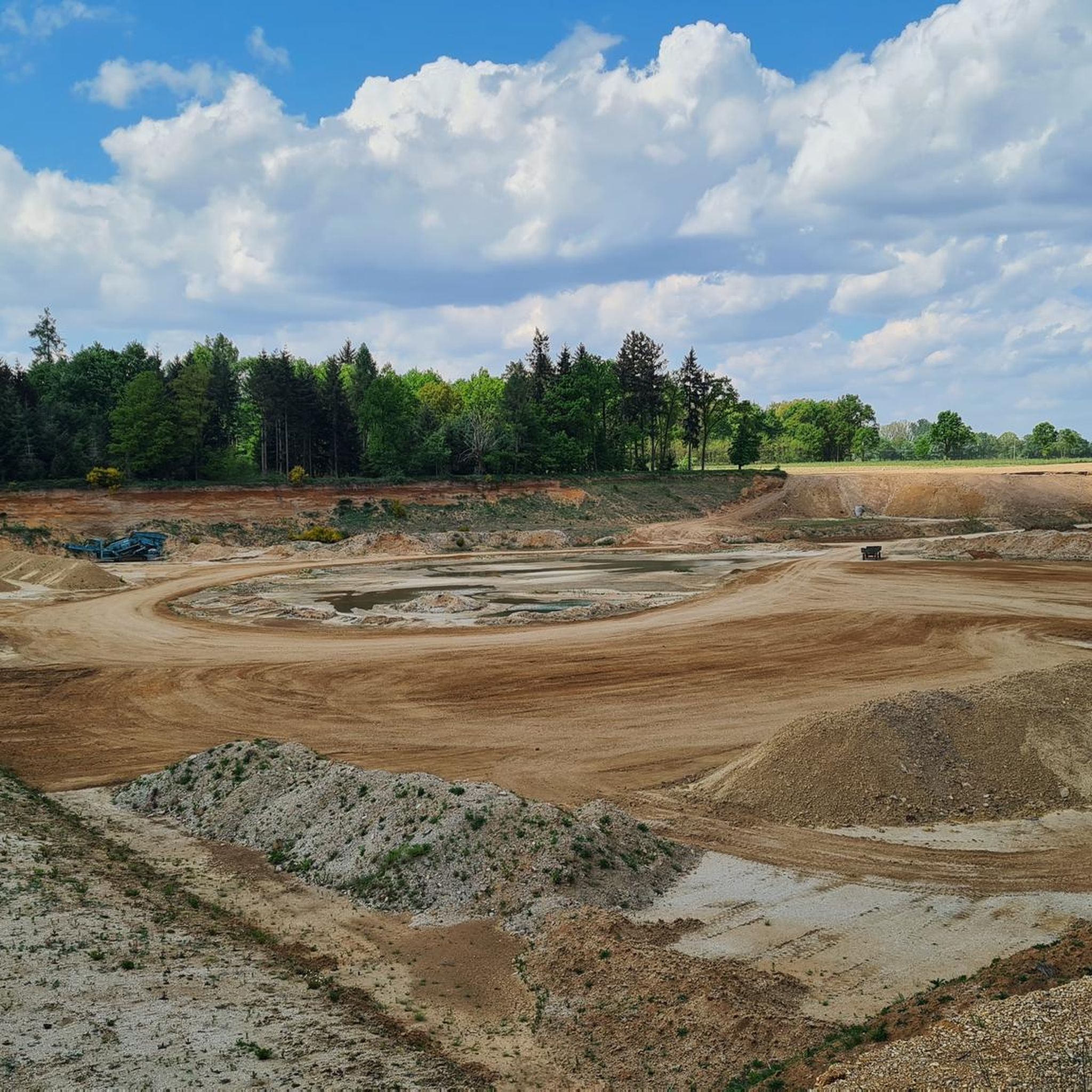
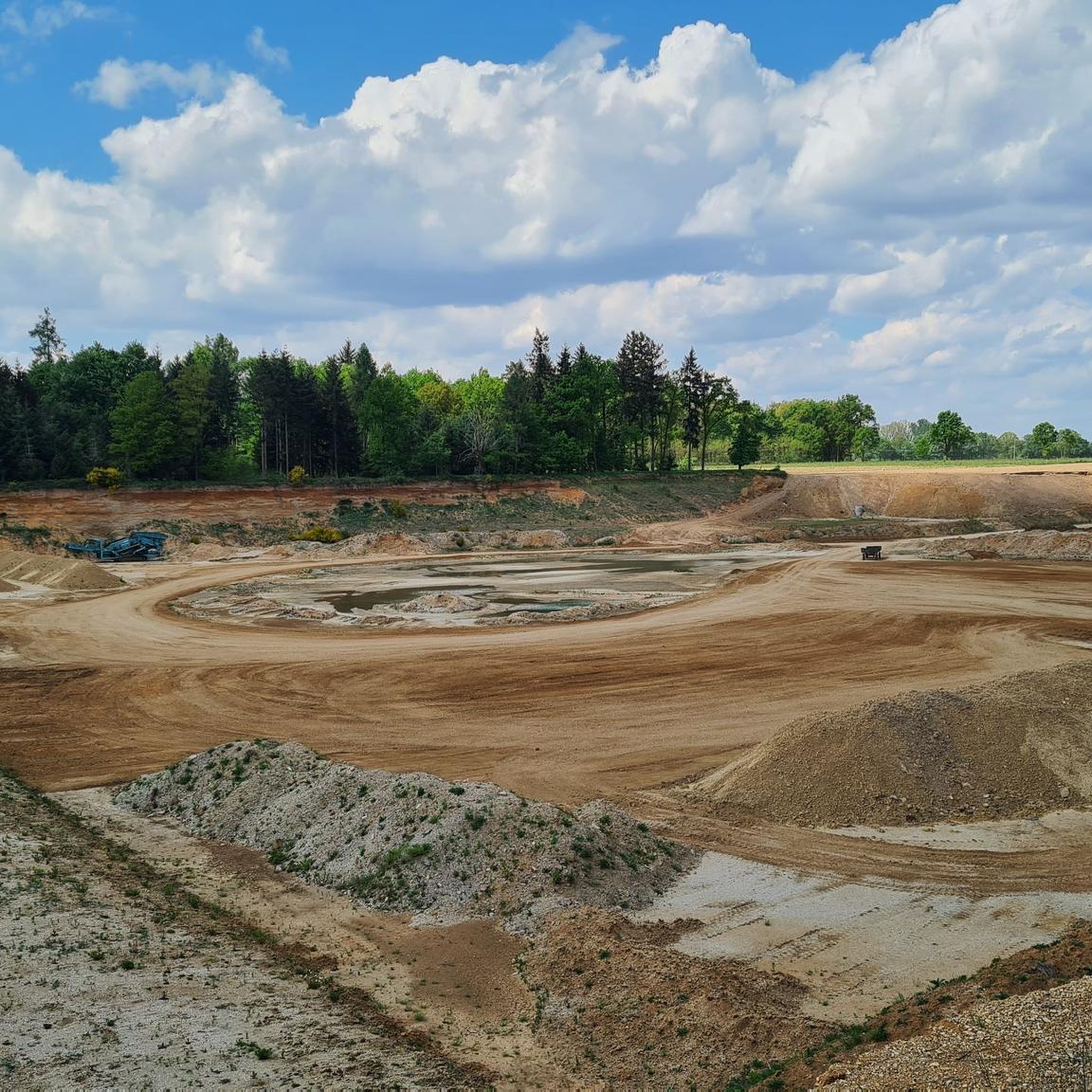
Currently a construction site, you have to push your bike.
0
0

our village should become more beautiful ;-)
0
0


In April 1945, the city's bridges were destroyed by the Wehrmacht. Connections between the various parts of the city were thus interrupted. From April to May 1946, a wooden footbridge was built as a pedestrian and bicycle link across the northern branch of the Danube near Jahn Island. In February 1947, the footbridge had to be dismantled due to the threat of a massive ice surge. Reconstruction took place in 1949-1950 as a temporary solution with concrete pillars and a superstructure in the river area using an "LZ bridge device" (lightly demountable) from MAN. Simple steel girders were laid across Jahn Island. The deck at that time consisted of wooden planks. These wooden planks were replaced with concrete planks in 1954, and the load-bearing capacity was increased to accommodate weights up to 12 tons. Due to the extensive damage to the concrete planks, they were replaced with coated steel sections in 1998. The Grieser Steg has been open to pedestrians and cyclists since December 1947. It was built on behalf of the city, although the city was still under American military administration at the time. The pedestrian and cycle bridge, along with the Stone Bridge, creates an important connection to Stadtamhof and the north of the city. Source: https://www.regensburg.de/rathaus/aemteruebersicht/planungs-u-baureferat/tiefbauamt/rueckblick/1947-der-grieser-steg
1
1
Frequently Asked Questions
How many road cycling routes are available around Perkam?
There are over 25 road cycling routes around Perkam, offering a variety of options for different skill levels. You'll find routes ranging from easy to moderate difficulty.
What kind of terrain can I expect on road cycling routes near Perkam?
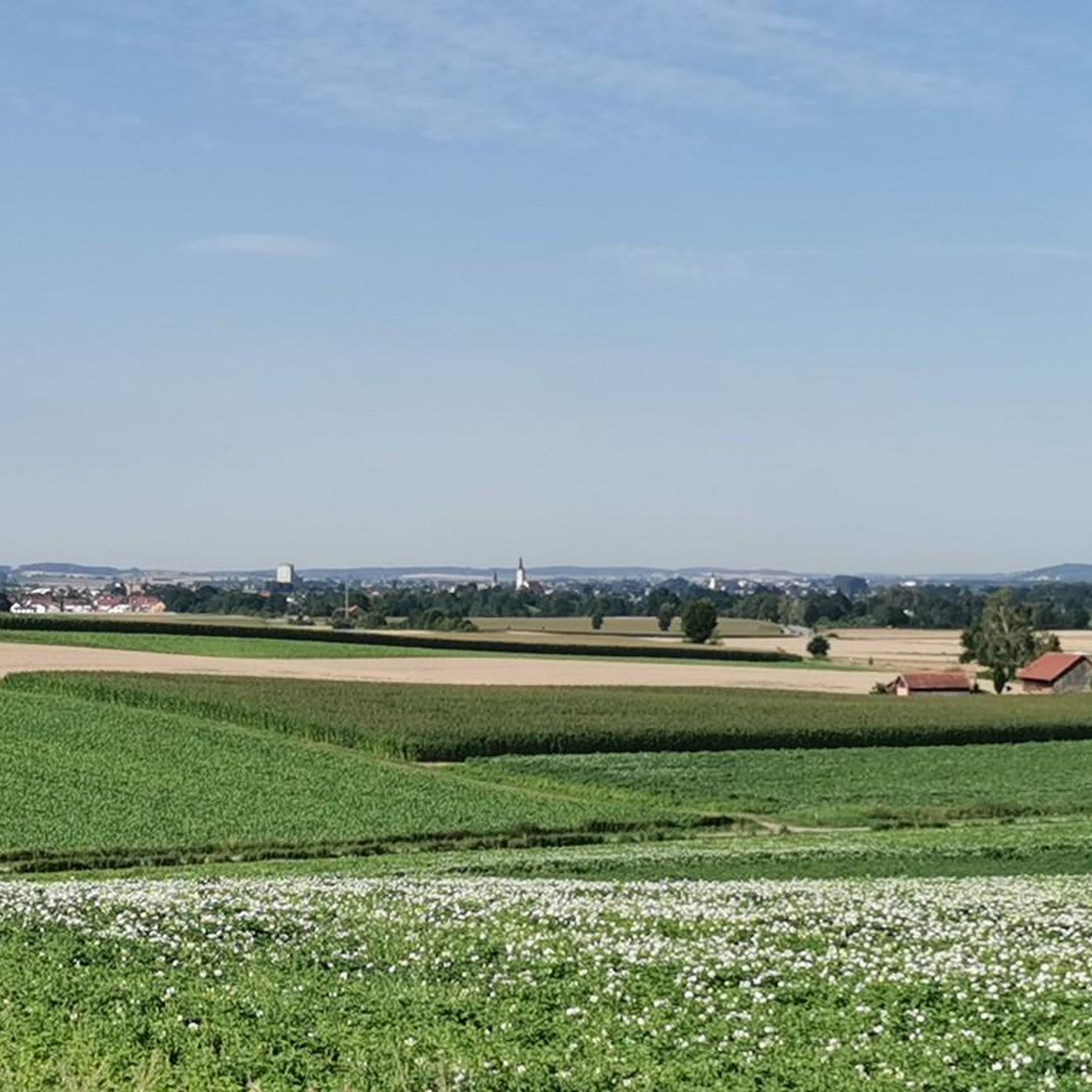
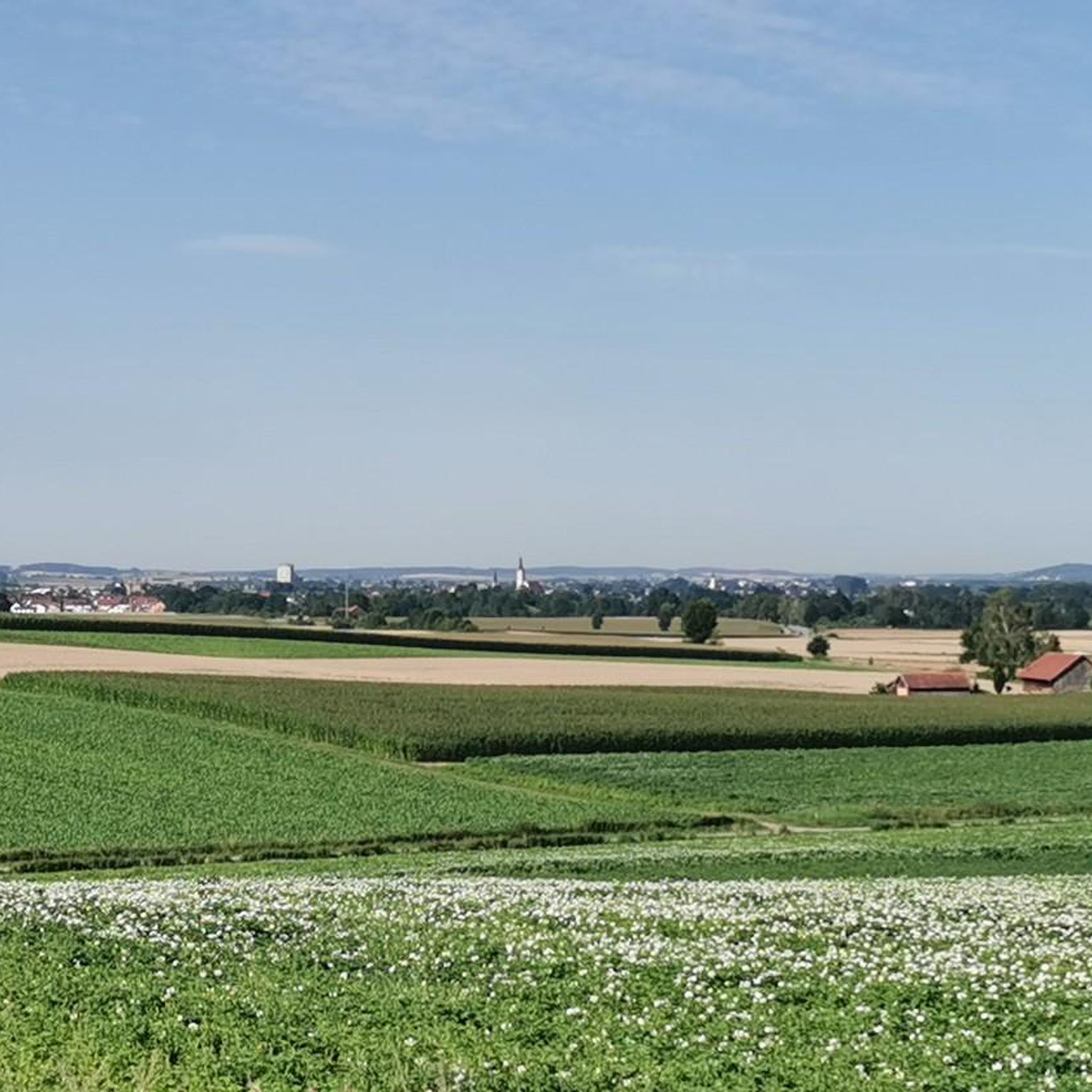
The terrain around Perkam generally features gentle elevations, often following river courses like the Danube. You can expect to cycle through open fields and agricultural landscapes, with some routes offering distant views towards landmarks such as Regensburg Cathedral.
Are there road cycling routes suitable for beginners in Perkam?
Yes, there are several easy road cycling routes around Perkam. For instance, the Radldorf – St. Leonhard Church, Griesau loop from Radldorf (Niederbay) is an easy 20.8-mile (33.4 km) path, perfect for those new to road cycling or looking for a relaxed ride.
What are the options for more experienced road cyclists around Perkam?
More experienced road cyclists can choose from over 20 moderate routes. A popular choice is the Grieser Footbridge – View of Regensburg Cathedral loop from Radldorf (Niederbay), a 47.4-mile (76.2 km) route with some elevation, offering scenic views.
Are there any circular road cycling routes in the Perkam area?
Many of the road cycling routes around Perkam are designed as loops, starting and ending in the same location. An example is the Danube River – Village Square in Perasdorf loop from Radldorf (Niederbay), which is a 56.5-mile (91.0 km) circular trail.
What scenic views can I expect on road cycling routes around Perkam?
Road cycling routes in the Perkam area often provide picturesque views of the Danube River and pass through expansive agricultural fields. Some routes, like the Grieser Footbridge – View of Regensburg Cathedral loop from Radldorf (Niederbay), even offer distant glimpses of Regensburg Cathedral.
Are there any historical landmarks or castles to see along the road cycling routes?
Yes, some routes pass by historical points of interest. For example, the St. George's Church in Gmünd – Puchhof Castle loop from Radldorf (Niederbay) explores the local area, passing by historical sites. You can also find nearby castles such as Puchhof Castle and Ducal Castle Straubing.
What do other road cyclists enjoy the most about road cycling in Perkam?
The road cycling routes around Perkam are highly rated by the komoot community, with an average score of 4.7 stars. Reviewers often praise the varied terrain, which includes riverine landscapes, open fields, and gentle hills, providing options for different ability levels.
Are there any routes that follow the Danube River?
Yes, several routes incorporate the Danube River. The Danube River – Village Square in Perasdorf loop from Radldorf (Niederbay) is a notable example, leading cyclists through the Danube River area.
Can I find routes that pass by lakes or natural water features?
While the primary focus is riverine landscapes, there are natural water features in the broader area. You can find highlights like the Small Pond at the Forest Edge or the Natural Pond, which might be accessible from some cycling routes.
Are there any routes that offer views of significant landmarks?
Yes, some routes are specifically known for their landmark views. The Grieser Footbridge – View of Regensburg Cathedral loop from Radldorf (Niederbay) is a prime example, offering distant views of the iconic Regensburg Cathedral.
Most popular attractions around Perkam

Get inspired with the komoot mobile app


Explore more
Browse the best Road cycling routes in other regions.
