The best MTB trails in Lic-Sierra Del Escudo
4.9
(9)
263
riders
17
rides
Mountain bike trails in Lic-Sierra Del Escudo traverse a rugged and diverse natural landscape characterized by limestone ridges, deep gorges, and river valleys. The region features extensive forests of oak, beech, and holm oak, contributing to varied and scenic routes. Its geology includes distinctive karst formations and varied elevations, providing a challenging environment for mountain biking. The area serves as a natural barrier between the coastal strip and interior valleys, offering spectacular viewpoints.
Best mountain bike trails in Lic-Sierra Del…
Last updated: July 1, 2026
4
riders
50.8km
05:27
1,670m
1,670m
Hard mountain bike ride. Very good fitness required. Advanced riding skills necessary. Some portions of the route may require you to push your bike.
40
riders
Hard mountain bike ride. Very good fitness required. Advanced riding skills necessary.

Sign up for free
24.7km
02:54
950m
950m
Hard mountain bike ride. Very good fitness required. Advanced riding skills necessary.
6
riders
47.8km
03:17
850m
850m
Moderate mountain bike ride. Good fitness required. Suitable for all skill levels.
5.0
(1)
4
riders
41.6km
03:34
1,230m
1,230m
Hard mountain bike ride. Very good fitness required. Suitable for all skill levels.
Get access to more routes and recommendations from other explorers.
Sign up for free
Already have an account?
Our route recommendations are based on thousands of hikes, rides, and runs completed by other people on komoot.
Start today with a free account
Your next adventure awaits.
Login or Signup
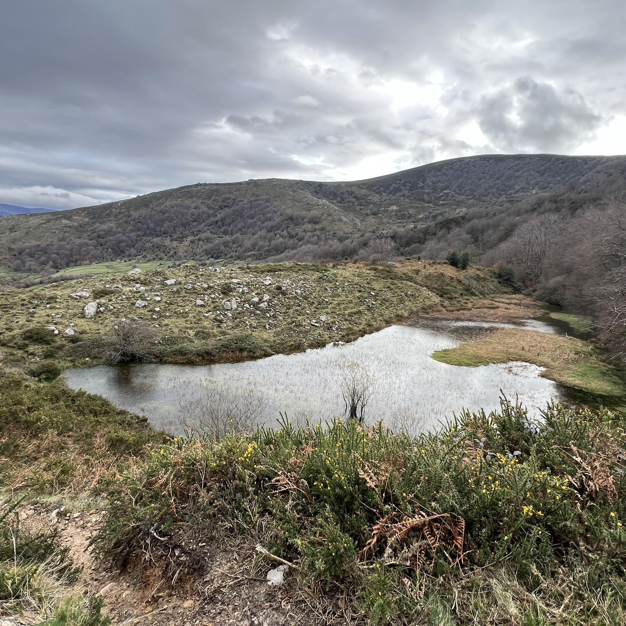
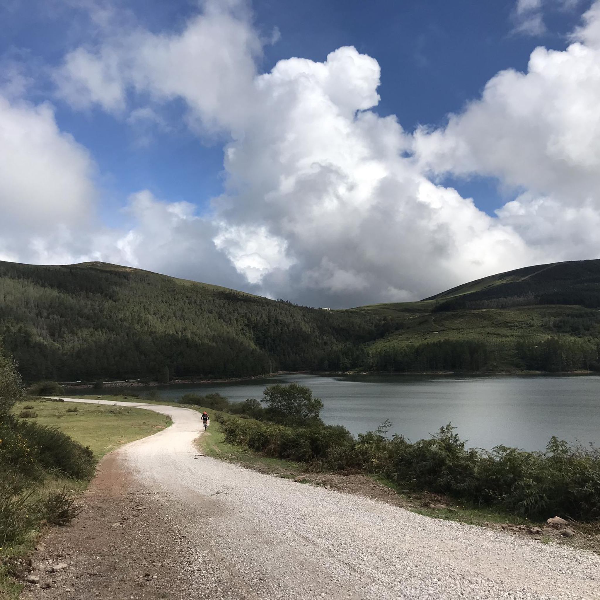
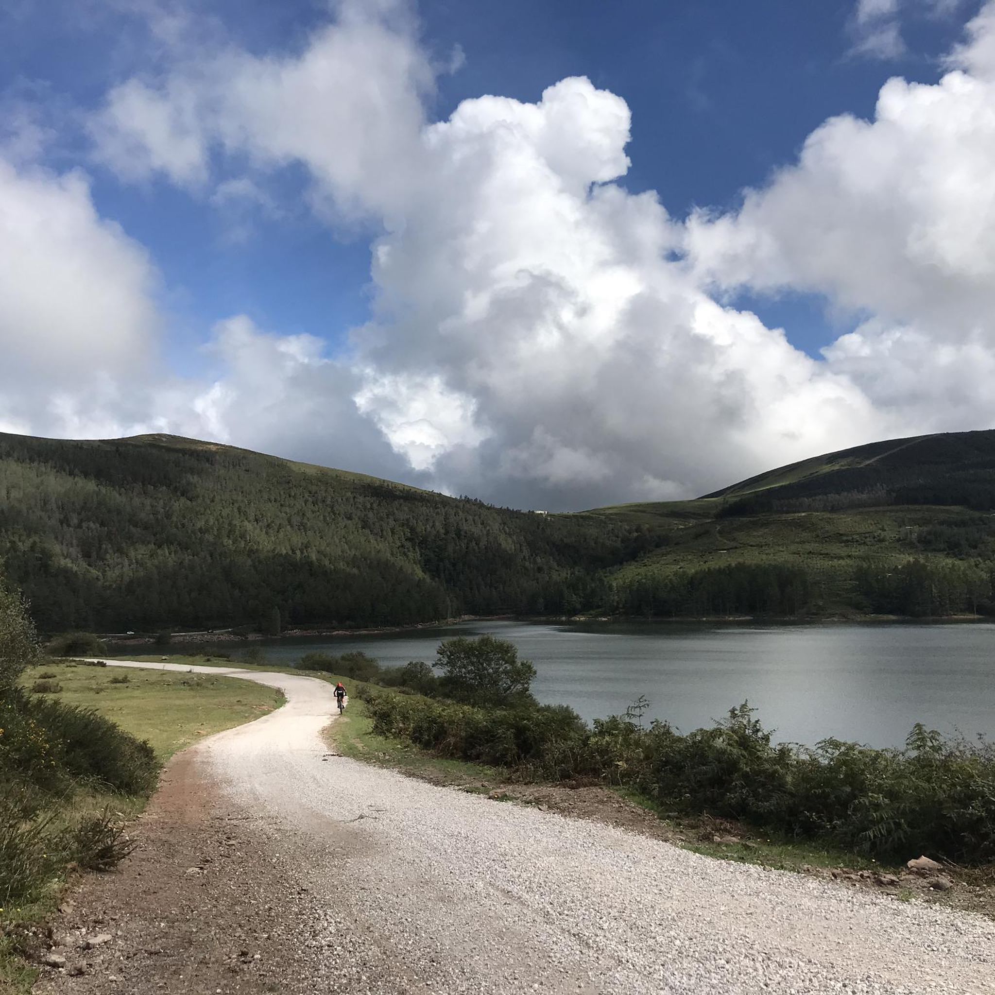
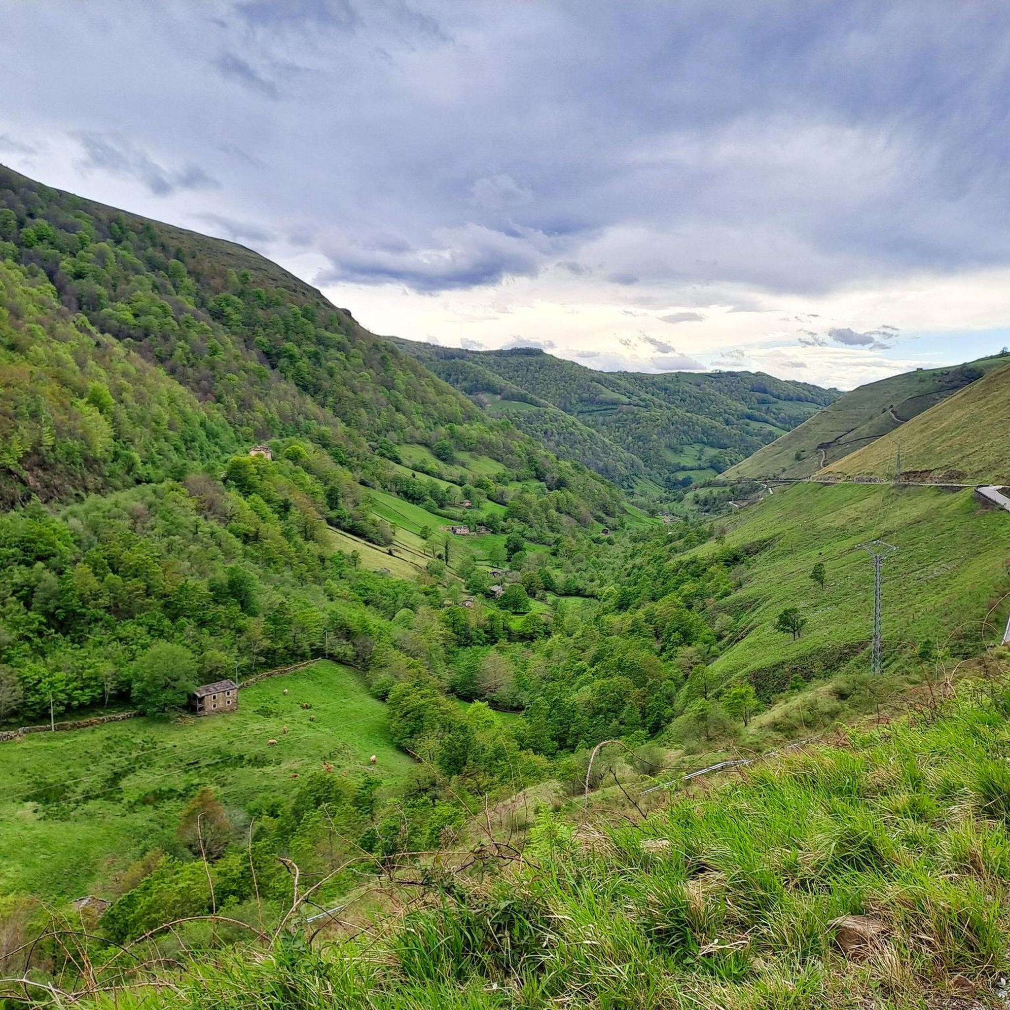
Tips from the Community

La Matanela Pass, 1,005 m. Border between Burgos and Cantabria, Meseta and Pas. From Burgos, it's known as La Magdalena. I copied the altimetry from altimetrias.net, which can be trusted.
0
0

This mountain pass, border between Burgos and Cantabria and watershed between the Mediterranean and the Cantabrian Sea, has no name. Neither on the sign nor on the maps, so I named it after the toponym of this place... well, one of them, which depending on the map you consult has several (Extremedio, Estremedillo...)
0
0

the views over Cantabria and the north of burgos are worth the effort to go up on foot or by bike
0
0

Coming from the Tablao, a little walk. It does not have a mailbox, but it does have a geodesic vertex.
2
0

The port of La Matanela is a mountain pass on the southern limit of the Pasiegas Mountains. It is located 17.4 km from Vega de Pas and 13 from the Escudo port, which is reached after crossing the Magdalena pass.2 It has an average slope of 3% from the town of San Pedro.
0
0

The Palacio de los Hornillos or Palacio de las Fraguas is a large estate in which two palaces are located. The oldest called Casona de las Fraguas (from the 18th century) and the largest of both, called de los Hornillos (late 19th century). It has been the setting for several movies. The Palace of the Hornillos is a private property, owned by the Duke of San Carlos, and cannot be visited. La Casona de las Fraguas is currently a catering business that organizes banquets and celebrations.
0
0
If you are going to visit the area, the ornithological center is the first obligatory stop. It can guide you about the most interesting things around the reservoir. They tell you about the birds that populate the Ebro Reservoir and where you can observe them (more than 70 species of waterfowl). They offer you two different routes. Each itinerary will be interpreted by the Center's specialized guide service.
1
0
It is located right next to the greenway. It was built in 1885 in order to supply drinking water to the city of Santander. It is surrounded by nature and there are chairs, tables and benches in the park.
2
1
Frequently Asked Questions
What kind of terrain can I expect on mountain bike trails in Lic-Sierra Del Escudo?
You can expect a rugged and diverse natural landscape. The trails traverse limestone ridges, deep gorges, and river valleys, with geology featuring distinctive karst formations. You'll ride through extensive forests of oak, beech, and holm oak, encountering varied elevations that provide a challenging experience. Some routes may require pushing your bike through unpaved segments.
How many mountain bike trails are available in Lic-Sierra Del Escudo?
There are 18 mountain bike trails documented in Lic-Sierra Del Escudo on komoot. These routes cater to various skill levels, with 8 moderate and 10 difficult options.
Are there any easy mountain bike trails for beginners in Lic-Sierra Del Escudo?
While the region is known for its challenging terrain, the komoot guide currently lists 8 moderate routes, which could be suitable for riders with some experience looking for less strenuous options than the difficult trails. There are no routes specifically graded as 'easy' in this guide.
What are some challenging mountain bike routes for experienced riders?
Experienced riders will find plenty of challenging options. For example, the Pico Jano – circular desde Lanchares por el embalse de Alsa is a difficult 50.8 km trail with over 1600 meters of elevation gain. Another demanding option is the Alto de la Matanela – Extremedio Pass loop from Entrambasmestas, a 45.9 km route offering extensive views and challenging climbs.
Are there any circular mountain bike routes in Lic-Sierra Del Escudo?
Yes, many of the mountain bike trails in Lic-Sierra Del Escudo are circular. For instance, the El Mediano Frío Viewpoint – Alsa Reservoir loop from Centro Ornitológico del Embalse del Ebro is a difficult 40.8 km loop, and the Pico de la Jarra and Hayal de Aloños Loop is a difficult 24.7 km option.
What kind of natural features or landmarks can I see while mountain biking in the region?
Lic-Sierra Del Escudo offers spectacular viewpoints from its elevated positions, as it acts as a natural barrier between the coastal strip and interior valleys. You'll encounter diverse forest ecosystems, including oak, beech, and holm oak woodlands, and distinctive karst formations. The region also features significant wetlands, including some of Europe's southernmost blanket bogs.
What do other mountain bikers say about the trails in Lic-Sierra Del Escudo?
The mountain bike routes in Lic-Sierra Del Escudo are highly rated by the komoot community, with an average score of 5.0 stars from 7 reviews. Over 200 mountain bikers have used komoot to explore the varied terrain, often praising the challenging climbs and diverse landscapes.
Are there any mountain bike trails that pass by the highest point, Mediajo Frío?
While the highest point, Mediajo Frío (1328 meters), is a significant feature of the region, specific mountain bike trails directly summiting it are not detailed in this guide. However, many routes offer spectacular viewpoints and significant elevation gains, providing a sense of the region's mountainous character.
What is the typical duration for mountain bike rides in Lic-Sierra Del Escudo?
The duration of rides varies significantly depending on the route's length and difficulty. For example, the difficult Pico Jano – circular desde Lanchares por el embalse de Alsa typically takes around 5 hours and 27 minutes, while the moderate Palacio de los Hornillos loop from Corvera de Toranzo can be completed in about 3 hours and 18 minutes.
Is Lic-Sierra Del Escudo suitable for family-friendly mountain biking?
The majority of routes listed in this guide are graded as moderate or difficult, indicating they may not be ideal for young children or beginners. The region's terrain often involves significant elevation changes and unpaved sections. For family-friendly options, look for routes explicitly described as easy or suitable for all skill levels, which might be found on mostly paved surfaces outside of the most challenging areas.
Are there any mountain bike trails with cafes or places to stop nearby?
While specific cafes or stops are not detailed for each route, the presence of ancient routes traversing mountains and valleys suggests that some trails may pass near villages or towns where amenities could be found. It's advisable to research specific route starting points for nearby facilities.
Most popular routes in Lic-Sierra Del Escudo

Get inspired with the komoot mobile app


Explore more
Browse the best MTB trails in other regions.
