The best MTB trails in Enseada De San Simón
4.5
(620)
4,498
riders
191
rides
Mountain bike trails in Enseada De San Simón traverse a unique estuarine ecosystem where freshwater rivers converge with the Atlantic Ocean's saltwater. This region features diverse natural landscapes, including marshlands, sandbanks, and intertidal mudflats, particularly around the Ulló Salt Flats. The terrain offers a mix of paved and unpaved surfaces, with routes passing through varied vegetation like reeds, junipers, and boxwood forests. The area's protected status within the Natura 2000 Network highlights its ecological significance for valuable species and habitats.
…Last updated: October 7, 2026
4.5
(11)
120
riders
57.7km
04:59
1,140m
1,140m
Hard mountain bike ride. Very good fitness required. Suitable for all skill levels.
4.9
(82)
85
riders
29.8km
02:15
470m
470m
Moderate mountain bike ride. Good fitness required. Suitable for all skill levels.

4.5
(4)
58
riders
62.3km
04:12
660m
660m
Moderate mountain bike ride. Good fitness required. Suitable for all skill levels.
4.0
(2)
17
riders
77.4km
05:07
1,040m
1,040m
Hard mountain bike ride. Very good fitness required. Suitable for all skill levels.
14
riders
55.1km
04:14
860m
860m
Moderate mountain bike ride. Good fitness required. Suitable for all skill levels.
Get access to more routes and recommendations from other explorers.
Already have an account?
Our route recommendations are based on thousands of hikes, rides, and runs completed by other people on komoot.
Start today with a free account
Your next adventure awaits.
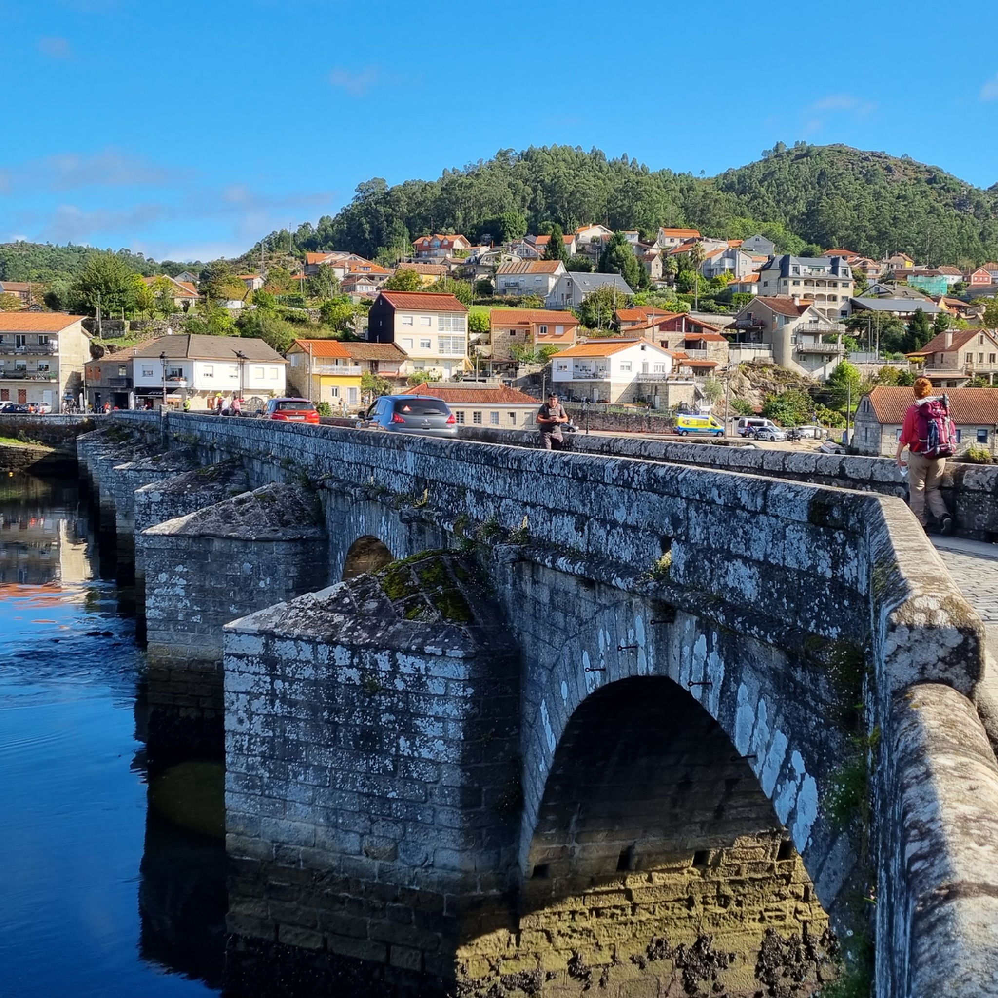
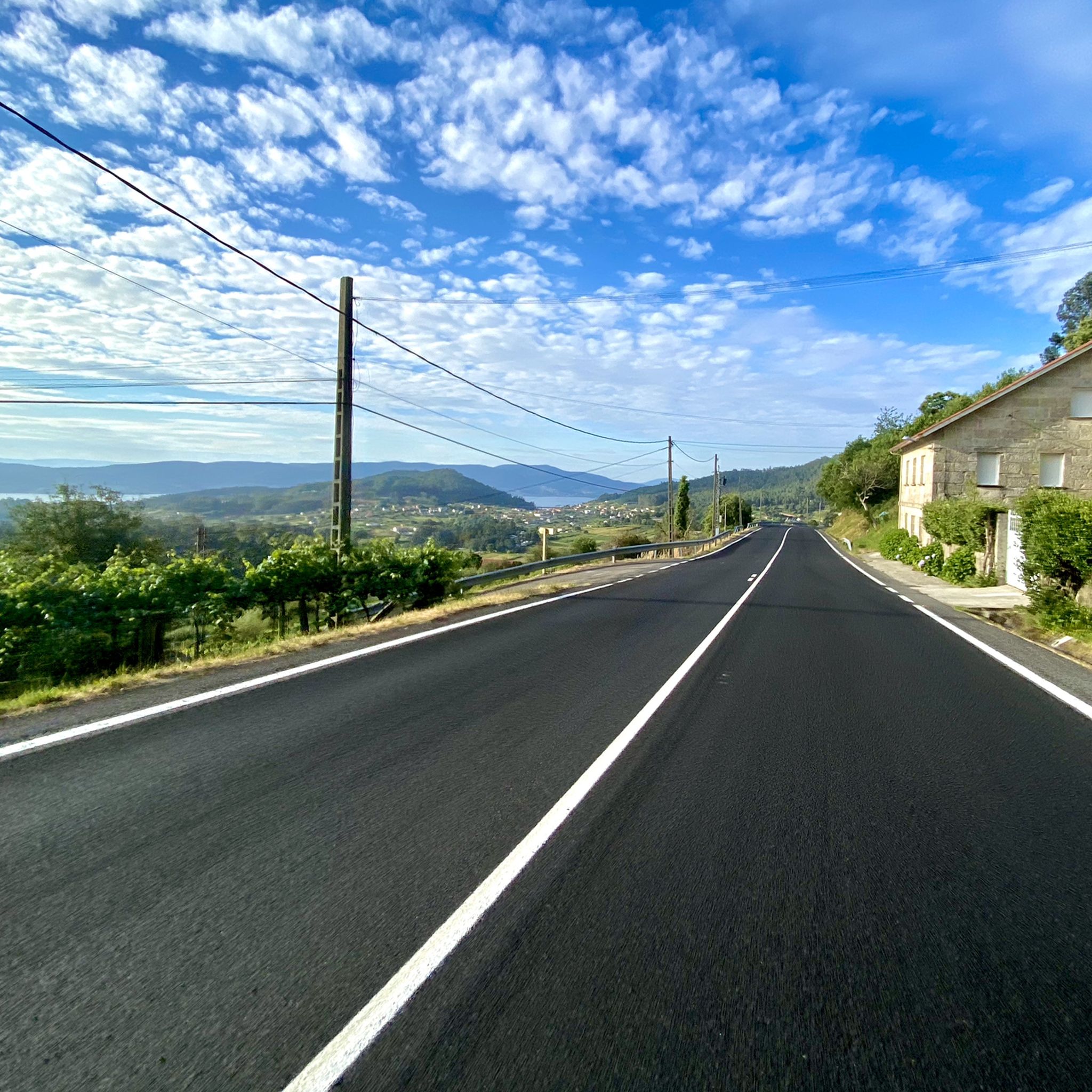
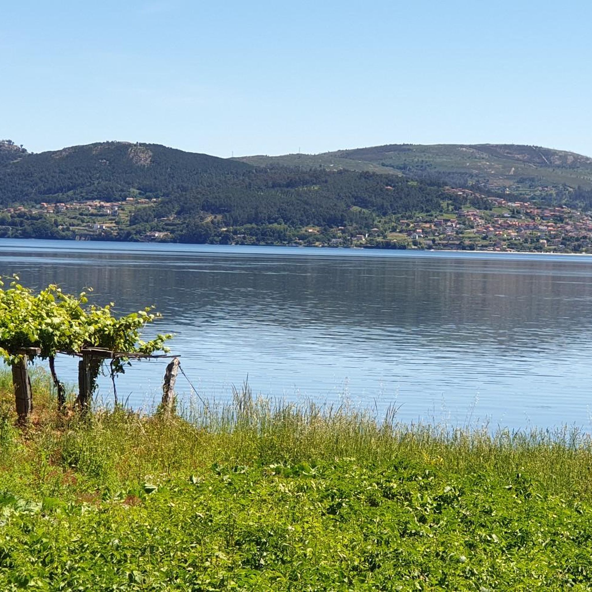

Tips from the Community

Plaza de España which will soon undergo a major renovation with new buildings and recreational areas. It can already be reached by escalators from Urzaiz, and in the future, it will also be reached from another important square in Vigo, the Plaza de América, a place for celebrating Celta's successes.
0
0

Be careful when running, there are not only many hikers here, but also many bicycles on some days
0
0
They were used in villages to store grain and other agricultural products, keeping them safe from mice and other animals. It's part of the rural landscape of Galicia.
0
0


Frequently Asked Questions
How many mountain bike trails are there in Enseada De San Simón?
There are over 180 mountain bike trails available in Enseada De San Simón, offering a wide variety of options for different skill levels and preferences.
What is the typical difficulty of mountain bike trails in Enseada De San Simón?
The trails in Enseada De San Simón range from moderate to difficult. You'll find about 15 easy routes, over 110 moderate routes, and around 55 difficult routes, ensuring options for various fitness and skill levels.
Are there any easy or beginner-friendly mountain bike trails in Enseada De San Simón?
Yes, there are approximately 15 easy mountain bike trails in Enseada De San Simón. These routes are generally shorter and have less elevation gain, making them suitable for beginners or those looking for a more relaxed ride.
What kind of terrain can I expect on mountain bike trails in Enseada De San Simón?
The terrain is quite diverse, reflecting the region's unique estuarine ecosystem. You can expect a mix of paved and unpaved surfaces, including singletrack sections, roads, and paths. Routes often pass through marshlands, sandbanks, intertidal mudflats, and varied vegetation like reeds, junipers, and boxwood forests.
Are there mountain bike trails suitable for families in Enseada De San Simón?
While many trails are moderate to difficult, the easier routes can be suitable for families with some biking experience. Look for routes designated as 'easy' on komoot, which typically feature less challenging terrain and shorter distances. The area's promenades, like the one connecting to Muxeira Beach, also offer relaxed cycling opportunities.
What is the best time of year to go mountain biking in Enseada De San Simón?
The region generally enjoys a mild climate, making mountain biking enjoyable for much of the year. Spring and autumn offer pleasant temperatures and less crowded trails. Summer can be warm, but coastal breezes provide some relief. Winter rides are possible, though some trails might be muddier after rain.
Are there any circular mountain bike routes available?
Yes, many of the mountain bike routes in Enseada De San Simón are designed as loops. For example, you can explore the Forest Path in Coto do Gran loop from Redondela, which is a moderate 24.2 km ride, or the more challenging Rocky Path – Lake Cotorredondo loop from Arcade.
What interesting natural features or landmarks can I see along the mountain bike trails?
You can encounter several unique natural features. The Ulló Salt Flats, a former salt extraction area now a nature reserve, are a prominent feature. The area's estuarine environment, where freshwater meets saltwater, creates rich marshlands and sandbanks, ideal for birdwatching. You might also pass by the Muxeira Beach, offering a coastal view.
Are there any historical sites or points of interest near the mountain bike trails?
Yes, the region has historical significance. You can visit the Forno do Cal or the San Adrián Lime Kiln, which are historical sites. The San Simón Archipelago, with its islands of San Simón and San Antón, also holds historical importance, though direct access might require other means of transport like kayaking.
What do other mountain bikers enjoy most about the trails in Enseada De San Simón?
The trails in Enseada De San Simón are highly rated by the komoot community, with an average score of 4.5 stars from over 400 reviews. Riders often praise the diverse landscapes, the unique estuarine environment, and the variety of terrain that keeps rides interesting. The scenic views, especially those encompassing the Ría de Vigo and the San Simón Archipelago, are also frequently highlighted.
How long are the mountain bike trails in Enseada De San Simón?
Trail lengths vary significantly. You can find shorter routes, like the 24.2 km Forest Path in Coto do Gran loop, which takes around 2 hours. Longer, more challenging routes, such as the Salinas de Ulló – Rocky Trail Section loop from Arcade, can be up to 77.5 km and take over 5 hours to complete.
Are there any advanced or challenging mountain bike routes?
Absolutely. Enseada De San Simón offers about 55 difficult mountain bike routes. These often feature significant elevation gains and technical sections. Examples include the 77.5 km Salinas de Ulló – Rocky Trail Section loop from Arcade and the 46.5 km Fervenza do Alvedosa – Alto de Galleiro loop from Redondela-A Picota, both requiring good fitness and advanced riding skills.
Where can I find parking for mountain biking in Enseada De San Simón?
Many trails start from or are accessible near towns like Redondela and Arcade, where you can typically find public parking. It's advisable to check specific route descriptions on komoot for details on parking availability at the trailhead.
Most popular routes in Enseada De San Simón
Most popular attractions in Enseada De San Simón

Get inspired with the komoot mobile app


Explore more
Browse the best MTB trails in other regions.
