4.7
(1219)
13,079
hikers
2,266
hikes
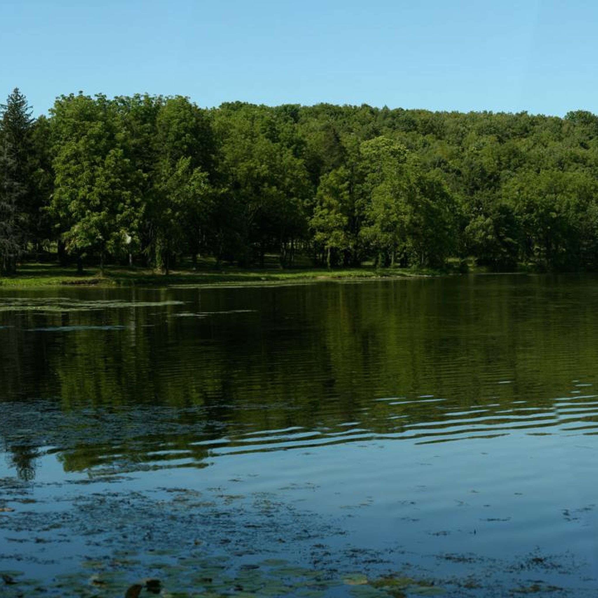
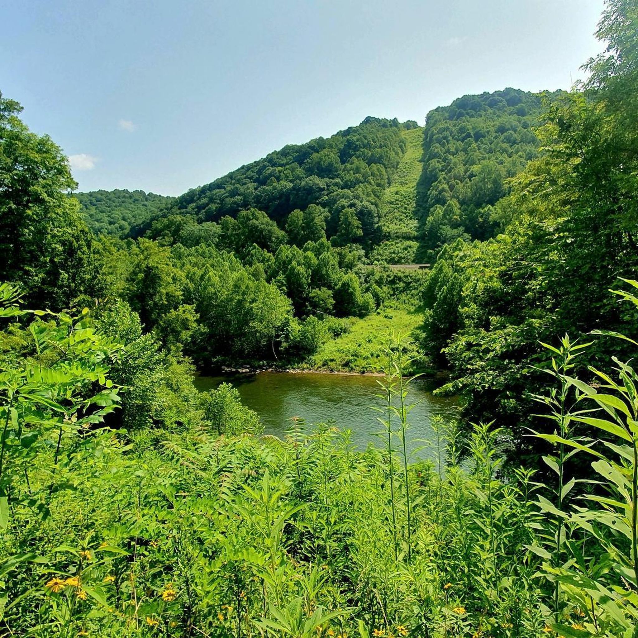
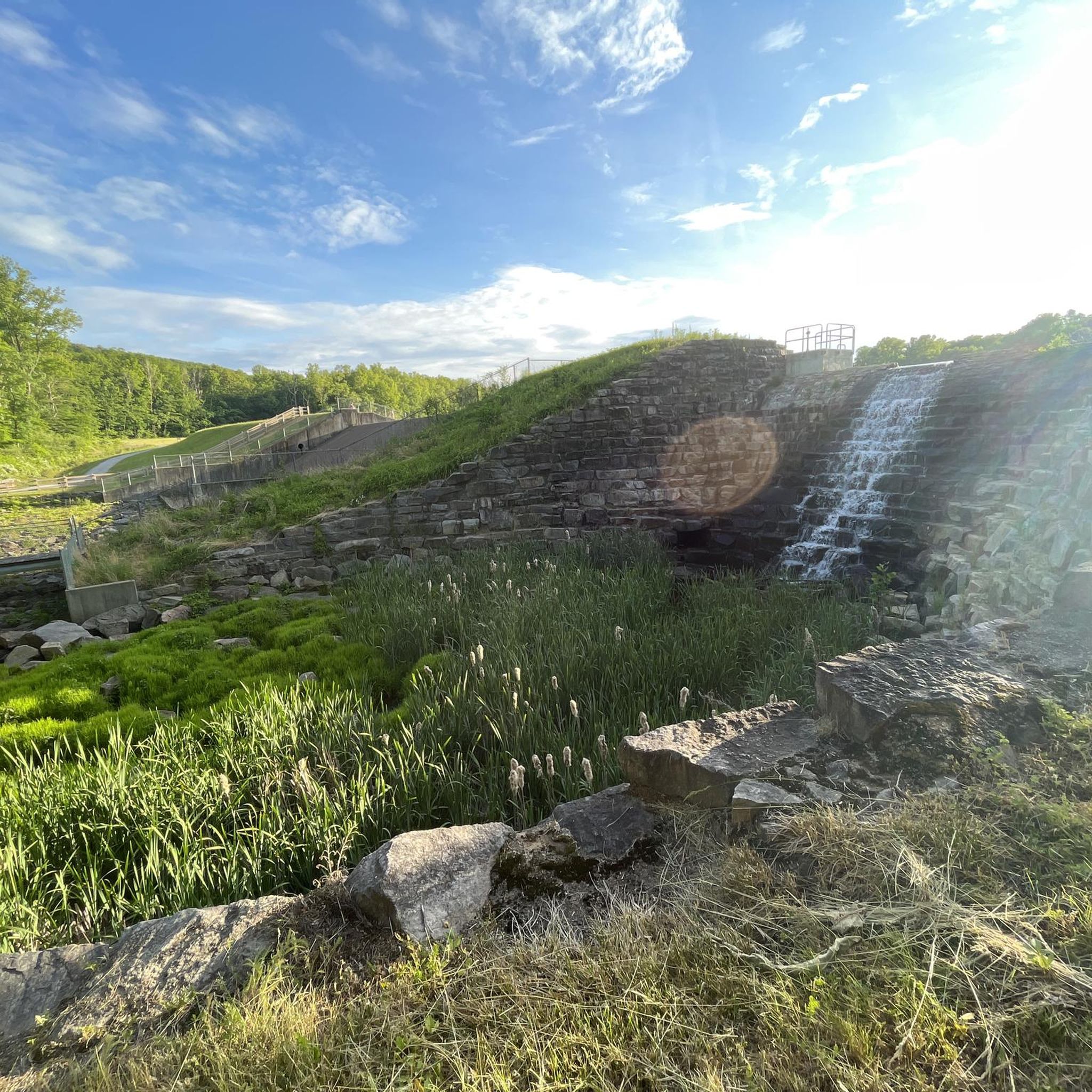
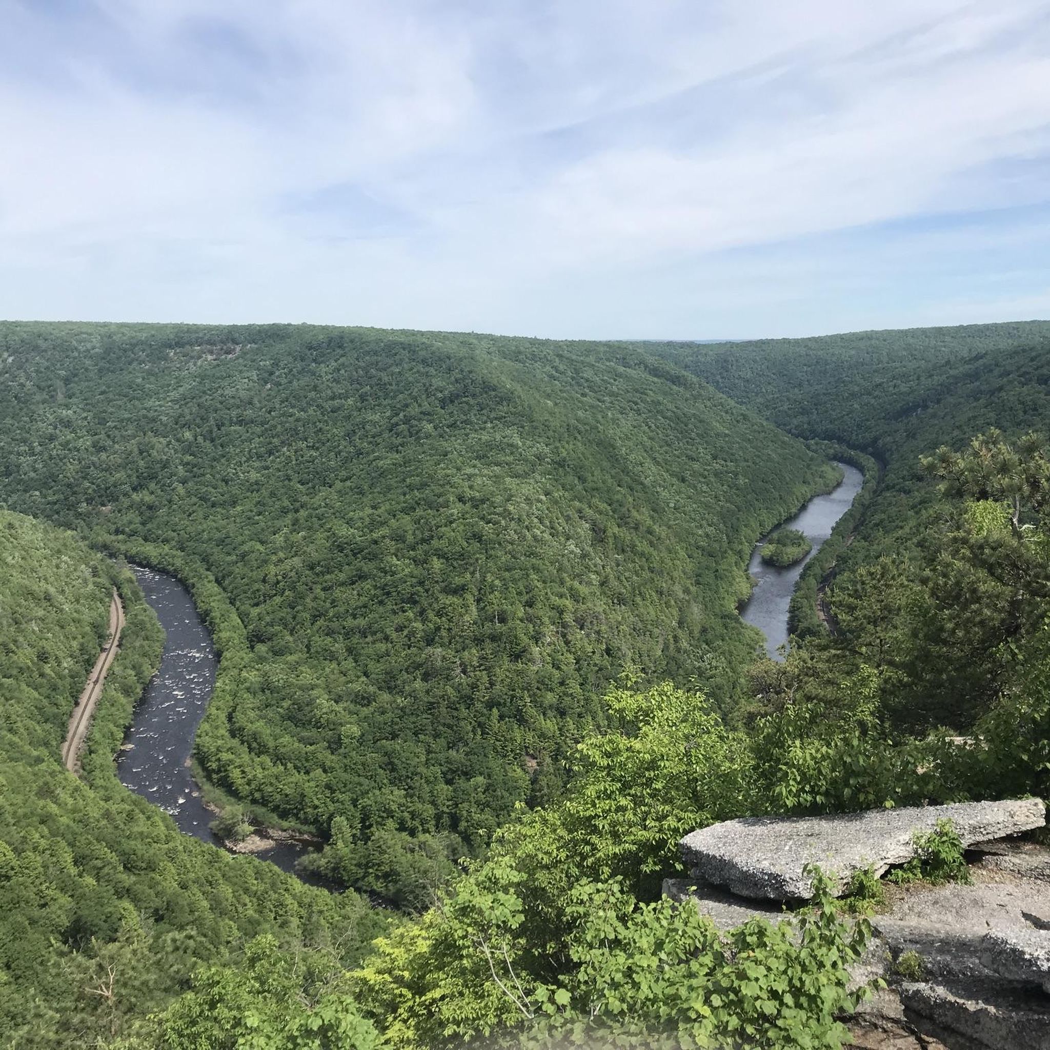
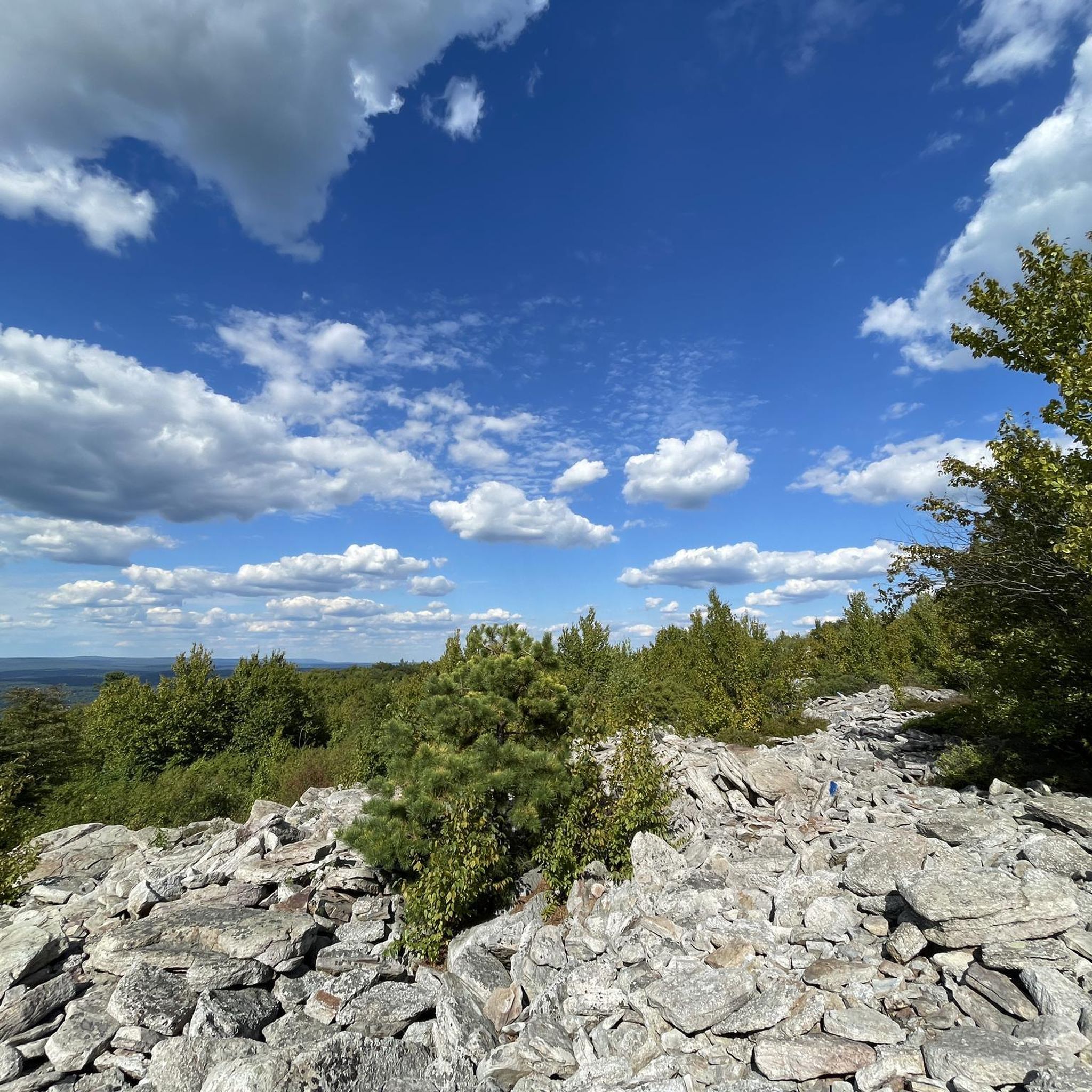
Hiking in Pennsylvania features diverse landscapes, from extensive forests and rolling mountains to deep gorges and numerous waterfalls. The state's varied topography provides a wide array of natural features for outdoor exploration, including unique geological formations and over 1,000 miles of rail trails. Hikers can find trails ranging from gentle riverside paths to challenging mountain ascents, often leading through state parks and national forests. This comprehensive network of hiking routes offers options for various ability levels across the region.
Last updated: June 24, 2026
4.9
(15)
148
hikers
10.5km
03:10
250m
490m
The Ricketts Glen Falls Trail Loop plunges you into a spectacular "waterfall wonderland," where you'll encounter over 20 named cascades, including the towering 94-foot Ganoga Falls. The path winds through ancient, moss-covered woodlands and deep gorges, offering a continuous symphony of rushing water and lush scenery. Expect a rugged journey over rocky terrain and numerous stone steps, making for an immersive and unforgettable natural experience.
This 6.5-mile (10.5 km) hiking loop involves 819 feet (250 metres) of elevation gain and typically takes around 3 hours and 9 minutes. While rated moderate, the steep grades and often slippery surfaces mean you'll need sturdy footwear with excellent grip. The trail is closed in winter for most hikers, so plan your visit for the warmer months to avoid hazardous conditions.
Recognized as a National Natural Landmark, the Glens Natural Area boasts one of the highest concentrations of waterfalls in the eastern United States. Beyond the cascades, you'll discover significant stands of old-growth timber, some over 300 years old, contributing to the trail's unique ecological value and making it a truly notable destination for nature lovers.
4.5
(6)
66
hikers
8.12km
02:17
180m
140m
The Ridley Creek Full White Trail Loop offers a delightful journey through the diverse landscapes of Ridley Creek State Park. You'll traverse a singletrack dirt path winding through rolling wooded hills, encountering sections with tree roots and large boulders, and enjoying picturesque views as the trail often runs alongside the scenic Ridley Creek. Keep an eye out for the impressive old-growth forest areas, home to towering American beech and black walnut trees, which add a unique character to this immersive hike.
Planning your visit is straightforward for this moderate 5.0-mile (8.1 km) loop, which typically takes about 2 hours and 16 minutes to complete. With 578 feet (176 metres) of elevation gain, it's a rewarding challenge without being overly strenuous. The trail is well-blazed, and dogs are welcome on a leash. Parking is available, with facilities like Picnic Area 16 located conveniently close to the trailhead.
What makes this route stand out among Ridley Creek State Park hiking trails is its excellent access to the park's ancient woodlands and the tranquil riverside experience. It's a great option for those wondering how long is Ridley Creek Full White Trail Loop hike, providing a substantial yet manageable outing. The trail's varied terrain and natural features make it a popular choice for experiencing the natural beauty of Delaware County.

Sign up for free
4.7
(6)
65
hikers
7.36km
02:14
210m
210m
Embark on the Mount Joy Trail to Mount Misery Trail Loop, a moderate hike spanning 4.6 miles (7.4 km) with an elevation gain of 697 feet (212 metres). You can expect to complete this loop in about 2 hours and 14 minutes. The trail winds through lush forested sections, offering a diverse landscape of dirt paths, gravel sections, and rocky areas. As you hike, you'll encounter historical ruins slowly being reclaimed by nature, adding a unique character to your journey. Keep an eye out for the charming Knox Covered Bridge, a notable landmark that blends natural beauty with historical significance.
When preparing for your hike, remember that the varied terrain includes sections with rocks and roots, so sturdy hiking boots are highly recommended for ankle support. It is especially important to exercise caution during fall and winter, as fallen leaves can conceal rocks and make footing tricky. The route is generally well-maintained, providing a pleasant experience as you traverse between the Mount Misery and Mount Joy sections. Plan your visit to ensure you have ample daylight for this enjoyable outing.
This loop offers sweeping views of Valley Forge National Historical Park, allowing you to immerse yourself in both the natural environment and the rich history of the area. The trail's path through the park provides a unique perspective on the landscape, where historical elements are slowly merging back into nature. It is a great option if you are looking for a moderately challenging hike that combines scenic beauty with historical intrigue within the region.
4.5
(4)
57
hikers
8.92km
02:35
200m
290m
Embark on the Great Gorge and Ferncliff Trail Loop, a moderate hike that spans 5.5 miles (8.9 km) and includes 672 feet (205 metres) of elevation gain. You can expect to complete this diverse route in about 2 hours and 35 minutes. As you hike, you will experience a blend of historical paths and ecological wonders, with glimpses of the Youghiogheny River. The trail leads you through old-growth forests filled with towering hemlocks and past the iconic Cucumber Falls. You will also find impressive viewpoints of Ohiopyle Falls from bridges, offering a varied and engaging outdoor experience.
This loop is accessible year-round, allowing you to enjoy its unique character in any season, even transforming into a winter wonderland with snow and ice. While parts of the Great Gorge Trail are relatively flat, be prepared for sections of the Ferncliff Trail that can be rocky and rooty. These areas may become muddy and slippery, especially after rain, so always check local conditions before you head out. Plan your visit to account for potential trail surface changes.
The Great Gorge and Ferncliff Trail Loop offers a rich variety of views, from the historical Great Gorge Trail to the ecological marvels of the Ferncliff Trail. This route stands out for its blend of natural beauty and historical significance within Ohiopyle State Park. You will traverse paths that offer glimpses into the region's past while surrounded by its vibrant ecosystem. It is a prime example of the diverse outdoor experiences available in this area.
4.5
(4)
46
hikers
8.78km
02:19
70m
90m
Embark on the Skippack Creek Loop Trail for a refreshing hike through Evansburg State Park. This moderate route spans 5.5 miles (8.8 km) and involves a gentle elevation gain of 243 feet (74 metres), typically taking about 2 hours and 18 minutes to complete. As you follow the path, you will wind alongside the picturesque Skippack Creek, moving through pleasant pine forests and encountering varied terrain that includes single-track sections and gravel roads. Keep an eye out for wooden bridges and the tranquil water views that define much of this journey.
When planning your visit, be aware that the trail can become muddy, especially after rainfall or during the spring season. You might also encounter a stream crossing that could be more challenging in wetter conditions. Parking is generally available within Evansburg State Park, making access straightforward. Remember that certain parts of the route require walking on public roads, so exercise caution and stay alert to active traffic in those areas.
Beyond the natural beauty, the Skippack Creek Loop Trail offers glimpses into the area's past. As you hike along the creek, you may spot old ruins, hinting at the historical layers embedded within Evansburg State Park. This loop design allows you to experience a diverse range of scenery and features without retracing your steps, providing a comprehensive exploration of the park's unique blend of nature and history.
5.0
(1)
47
hikers
5.59km
01:25
10m
10m
The Wetland Loop Trail offers a delightful journey through the diverse wetland areas of the John Heinz National Wildlife Refuge at Tinicum in Philadelphia. You'll follow a gentle singletrack path, providing an intimate experience with the local ecosystem. Keep your eyes peeled for wildlife, especially around the John Heinz National Wildlife Refuge Impoundment, which is a fantastic spot for eagle watching.
This easy hike covers 3.5 miles (5.6 km) with a negligible 28 feet (9 metres) of elevation gain, making it suitable for nearly everyone and taking approximately 1 hour and 24 minutes to complete. It's a family-friendly option that connects to larger trail networks like the East Coast Greenway, offering flexibility for longer outings if desired.
This trail provides a peaceful, green oasis that feels a world away from the nearby urban bustle of Philadelphia. It's an excellent opportunity to observe abundant birdlife and experience a thriving wetland environment, making it a notable escape for nature lovers and a great introduction to the refuge's natural beauty.
5.0
(2)
25
hikers
3.97km
01:10
120m
120m
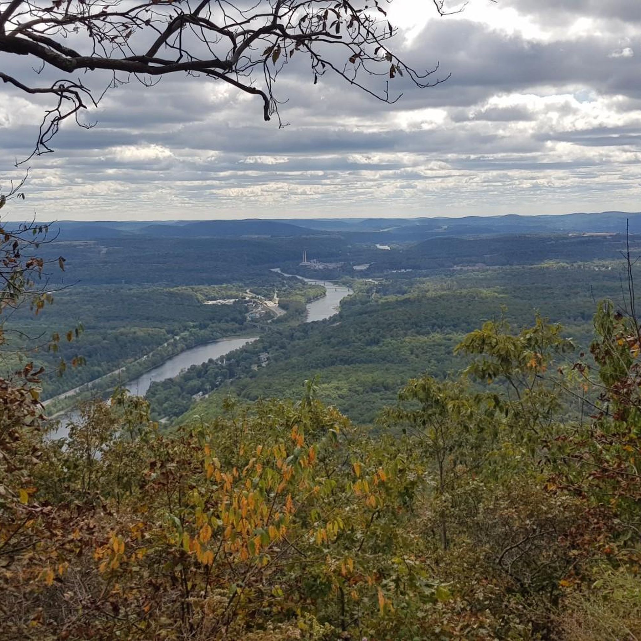
The Council Rock and Lookout Rock trail offers a fantastic taste of the Appalachian Trail's rocky charm, winding through forests rich with rhododendrons before opening up to spectacular vistas. This easy 2.5-mile (4.0 km) hike, with 389 feet (119 metres) of elevation gain, delivers iconic views from Lookout Rock across the Delaware River and the Delaware Water Gap. You can complete this rewarding journey in about 1 hour and 10 minutes, making it an ideal option for a shorter outing with a big payoff.
Parking is conveniently located near Lake Lenape or at the Route 611 scenic overlook, though it's wise to arrive early during peak season from April through October. The path can be rocky in sections, so be sure to wear sturdy shoes and carry water. While enjoying the scenery, keep an eye out for wildlife, as bears have been reported in the area.
This route is particularly notable for its inclusion as a section of the Appalachian Trail, giving hikers a glimpse into this famous long-distance path. Beyond the natural beauty, Council Rock provides a unique view that includes the Interstate 80 bridge, blending natural and man-made elements into the landscape. It's a popular spot for birding and hiking, drawing many visitors to experience the region's beauty.
5.0
(3)
19
hikers
22.8km
06:04
220m
260m
Embark on a challenging 14.2-mile (22.8 km) hike through the Wissahickon Valley, a route that demands approximately 6 hours and 3 minutes to complete. You will navigate varied single-track paths of dirt and rock, winding through lush woodlands that often run alongside the picturesque Wissahickon Creek. Expect to gain about 733 feet (223 metres) in elevation as you explore this difficult loop, encountering features like small waterfalls and deep pools along the way. The historic Thomas Mill Covered Bridge stands as a unique landmark, offering a glimpse into the area's past. This trail provides a deep immersion into the natural beauty and rugged terrain of the park.
Before you set out, be aware that conditions on the trail can vary, especially after rainfall. Stream crossings may become more challenging to navigate without getting wet, so plan your footwear accordingly. This route combines sections of distinct trails, allowing for customized routes if you prefer a shorter or longer adventure. Always check local park advisories for any temporary closures or specific access information before your visit.
The Wissahickon Valley Park is a significant natural oasis within a major U.S. city, offering a unique blend of wilderness and accessibility. This particular loop allows you to experience a substantial portion of its diverse landscape and ecological richness. The presence of the Thomas Mill Covered Bridge highlights the area's historical significance, adding a cultural layer to your outdoor exploration. It's a prime example of how nature and history intertwine in this urban park.
5.0
(1)
26
hikers
8.43km
02:13
70m
70m
Explore the stunning Longwood Gardens on a moderate 5.2-mile (8.4 km) hike that winds through diverse landscapes, from shaded woodlands to expansive meadows. You'll encounter towering trees like Pierre's Poplar in the Forest Walk and broad vistas of native wildflowers in the Meadow Garden. With a gentle 231 feet (71 metres) of elevation gain, this route offers a rich and varied experience, typically taking around 2 hours and 13 minutes to complete.
To make the most of your visit, plan to arrive early, especially during peak seasons, as general admission to the gardens is required. The trails are beautiful throughout the year, but the vibrant spring blooms and spectacular fall foliage offer particularly memorable experiences. While most paths are well-maintained, some areas in the Meadow Garden feature crushed granite and boardwalks, with occasional uneven surfaces.
Longwood Gardens is renowned for its ecological design, particularly evident in the 86-acre Meadow Garden, which showcases managed landscapes and a focus on native plants and wildlife. Beyond the natural beauty, you can discover unique features like the Lookout Loft Treehouse and the historic Webb Farmhouse & Galleries, adding educational and architectural interest to your outdoor adventure.
5.0
(1)
22
hikers
10.9km
03:13
300m
320m
The Orange Loop offers a rewarding journey through the varied ecosystems of Neversink Mountain Preserve, blending the tranquility of hardwood forests with the occasional challenge of rocky paths. You'll wind through dense woodlands, experience gentle climbs and descents, and discover a serene lake, making it a great escape into nature. The trail also features a notable viewpoint overlooking the river, providing a picturesque break from the forest canopy.
This moderate hike covers 6.8 miles (10.9 km) with 989 feet (301 metres) of elevation gain, typically taking about 3 hours and 12 minutes to complete. While specific parking details for the Orange Loop trailhead are not available, arriving early is generally recommended to ensure a spot, especially during peak times. The route is well-suited for a morning or afternoon adventure, offering a good workout without requiring an entire day.
Beyond the natural beauty, the Orange Loop holds a touch of history with the ruins of an old foundation along the way, adding an intriguing element to your hike. This trail is an excellent choice if you're seeking a dynamic outdoor experience that combines natural scenery, a moderate physical challenge, and a hint of historical exploration within Berks County.
Get access to more routes and recommendations from other explorers.
Sign up for free
Already have an account?
Our route recommendations are based on thousands of hikes, rides, and runs completed by other people on komoot.
Start today with a free account
Your next adventure awaits.
Login or Signup

This is a waterfall, but you cant stay on a bike to view this.
0
0
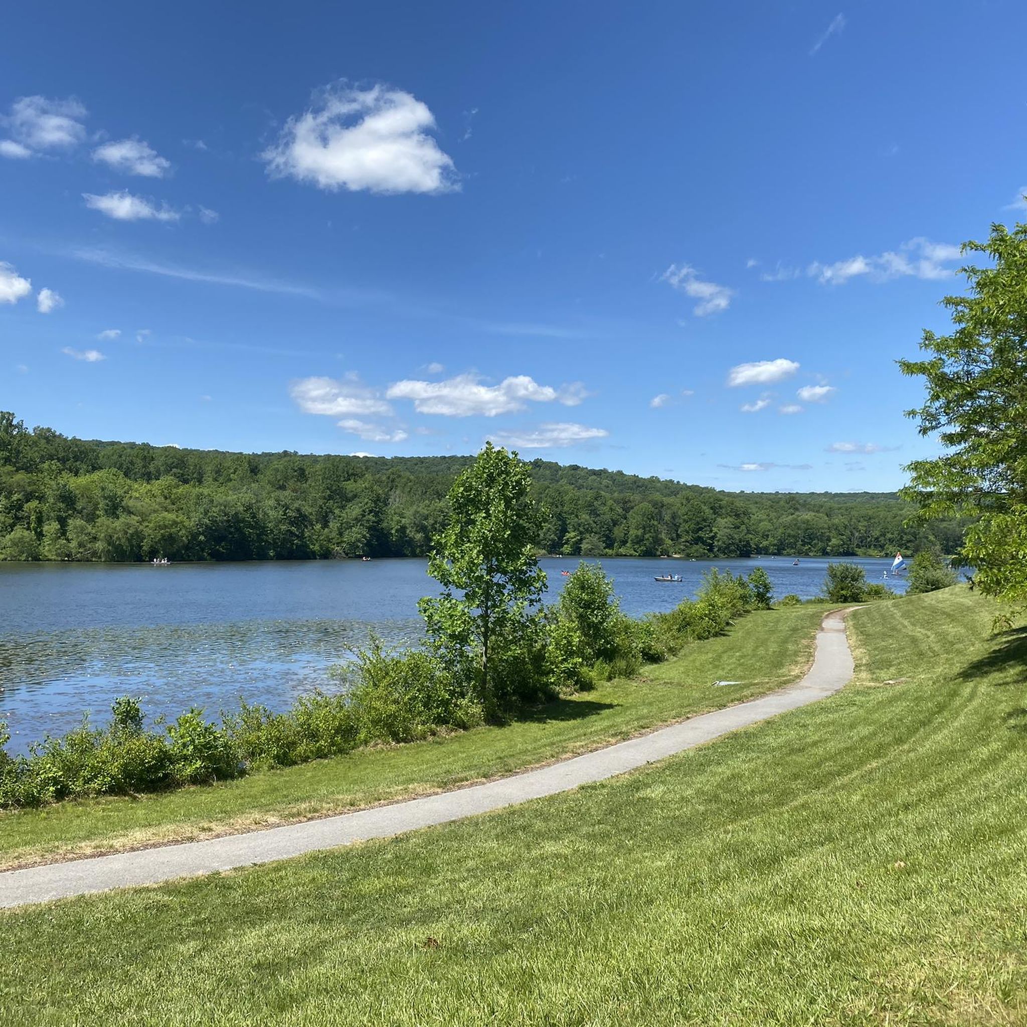
There is a nice bench along the main trail where you can rest and enjoy the scenery. A short trail loops around the lake and takes you down to the water's edge near the parking lot.
0
0
Eagle enthusiasts flock to John Heinz National Wildlife Refuge Impoundment for optimal eagle-watching opportunities. Traverse the impoundment loop counterclockwise, ensuring the impoundment is on your left, for the best view of these majestic birds and their nests. The observation platform and cross-dike road offer prime locations for eagle sightings.
0
0
This inn is the last roadhouse in all of Philadelphia, and a much-beloved part of Fairmount Park. Although you can't stay here overnight, they serve good food and the inn serves as a sort of communal gathering spot: You can cozy up to the fireplace in the winter, or chill out on the porches in the summer.
0
0
Wissahickon Creek flows over an old man-made stone shelf to create a wide waterfall that you can walk out towards on slabs of stone that rise up from the riverbed.
0
0
Numerous waterfalls staircase down Kitchen Creek on shale slabs, forming small pools beside the trail. In the autumn you are more likely to have the falls to yourself and the changing leaves make Ricketts Glen especially beautiful.
0
0
The Knox Covered Bridge is a beautiful bridge over Valley Creek. It was originally built in 1851 and was recently refurbished.
0
0
If you bike the Valley Creek Trail, it's worth going all the way to the southern end to check out Knox Covered Bridge. This cool bridge was originally constructed in 1851 and was recently refurbished.
0
0
Pennsylvania offers a vast network of hiking opportunities, with over 1,400 routes recorded on komoot. These range from easy strolls to more challenging treks, ensuring options for every skill level.
The hiking trails in Pennsylvania are highly rated by the komoot community, with an average score of 4.7 stars from over 1,000 reviews. Hikers frequently praise the diverse landscapes, from dense woodlands to impressive gorges, and the well-maintained paths that lead to scenic viewpoints and waterfalls.
Yes, Pennsylvania has numerous easy trails perfect for beginners and families. For example, the White Trail loop – Ridley Creek State Park is a gentle 4.0-mile path through woodlands, and the Wildwood Park loop offers an easy 3.2-mile experience. Many state parks and rail trails provide accessible and scenic options.
Absolutely. Many trails in Pennsylvania are designed as loops, offering varied scenery without retracing your steps. Popular circular routes include the Pulpit Rock & The Pinnacle loop, known for its panoramic vistas, and the Joseph Plumb Martin Trail loop in Valley Forge National Historical Park.
Pennsylvania is renowned for its waterfalls. Ricketts Glen State Park is a prime destination, boasting 22 named waterfalls accessible via its famous Falls Trail. Ohiopyle State Park also features beautiful cascades like Cucumber Falls, and the Ohiopyle Falls loop via Great Gorge Trail offers a chance to see them up close.
Pennsylvania offers impressive natural wonders. The Pine Creek Gorge, often called the 'Pennsylvania Grand Canyon,' provides stunning views. The Slippery Rock Creek Gorge in McConnells Mill State Park is a National Natural Landmark with steep cliffs and massive boulders. You can explore this area on the McConnell’s Mill Trail & Kildoo Trail loop.
Many state parks and forests in Pennsylvania welcome dogs on trails, provided they are leashed. It's always best to check specific park regulations before you go. Generally, trails like the Minister Creek Trail in Allegheny National Forest are popular choices for hikers with canine companions.
Each season offers a unique hiking experience in Pennsylvania. Spring brings lush greenery and blooming wildflowers, while summer is ideal for waterside trails. Autumn is particularly spectacular for fall foliage, with vibrant colors across the state's extensive forests. Winter hiking is also possible on many trails, offering serene, snow-covered landscapes.
Yes, Pennsylvania's rich history is often intertwined with its natural landscapes. For instance, the Joseph Plumb Martin Trail loop takes you through Valley Forge National Historical Park, where you can explore sites related to the American Revolutionary War. Additionally, you can find various bridges and historical structures like the Hot Metal Bridge or the Bethlehem Steel Plant near some routes.
Most state parks and trailheads in Pennsylvania offer designated parking areas. For specific routes, komoot tours often include details about parking availability. It's advisable to check the tour details or the respective park's official website before your visit, especially for popular spots or during peak seasons.
Pennsylvania is known for its scenic vistas. Trails like the Mount Minsi loop offer stunning views of the Delaware Water Gap. Hawk Mountain Sanctuary, accessible via the Hawk Mountain loop, is famous for its raptor migration and spectacular valley views.
Pennsylvania's diverse ecosystems support a variety of wildlife. Hikers might spot white-tailed deer, black bears, wild turkeys, and various bird species, including raptors at places like Hawk Mountain Sanctuary. Always maintain a respectful distance and avoid feeding wild animals.


Check out more Hikes throughout Pennsylvania below and find the perfect route in your destination.
Browse the best Hikes in other regions.