The best MTB trails in Sobreirais Do Arnego
4.0
(1)
143
riders
14
rides
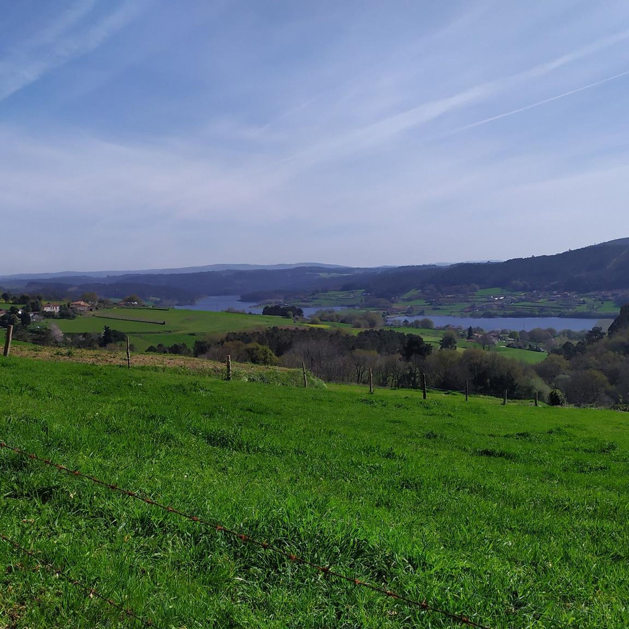
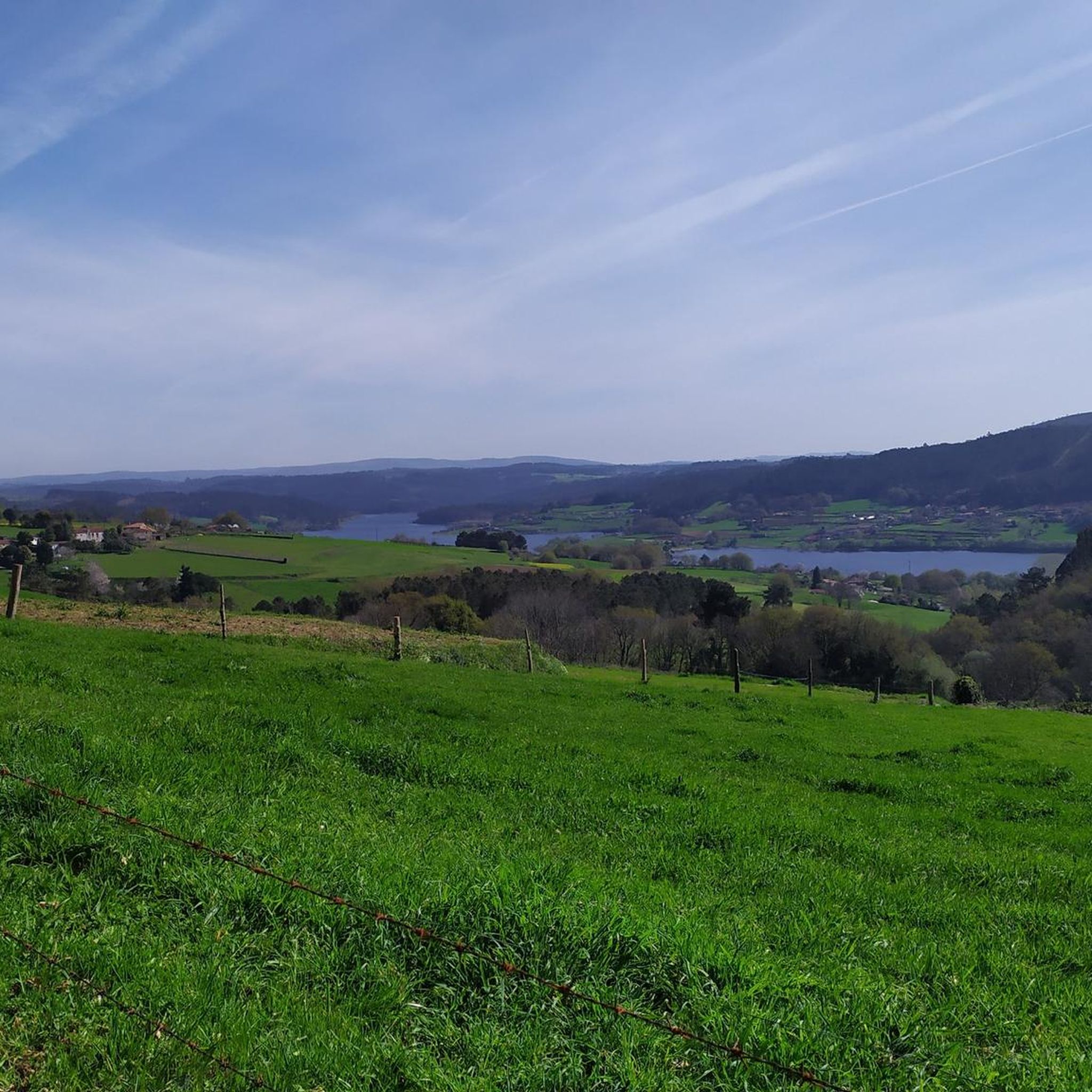
Mountain biking in Sobreirais Do Arnego offers routes through a unique landscape characterized by extensive cork oak forests and diverse riverine ecosystems. The region encompasses the Arnego River valley, which features well-preserved riverine forests and flows into the Portodemouros reservoir. Mountain bikers can expect varied topography, including river valleys, slopes, and paths winding through dense vegetation. This area provides a natural setting for exploring on two wheels.
Best mountain bike trails in Sobreirais Do Arnego
- The most popular mountain bike…
Last updated: October 4, 2026
4.0
(1)
26
riders
26.9km
02:15
480m
480m
Moderate mountain bike ride. Good fitness required. Advanced riding skills necessary.
8
riders
38.7km
03:11
650m
650m
Moderate mountain bike ride. Good fitness required. Suitable for all skill levels.

44
riders
92.1km
08:56
2,610m
2,610m
Hard mountain bike ride. Very good fitness required. Advanced riding skills necessary.
16
riders
25.1km
02:04
450m
450m
Moderate mountain bike ride. Good fitness required. Advanced riding skills necessary.
8
riders
45.9km
04:08
1,110m
1,110m
Hard mountain bike ride. Very good fitness required. Advanced riding skills necessary.
Get access to more routes and recommendations from other explorers.
Already have an account?
Our route recommendations are based on thousands of hikes, rides, and runs completed by other people on komoot.
Start today with a free account
Your next adventure awaits.


Tips from the Community

If you decide to explore this route, you will be surrounded by nature, history and stunning views. Enjoy your hike! 🏞️🚶♂️🥾🚵🌞
14
1


Bridge over the River Deze outside the train station, Ponte Taboada
0
0
City in the northwest of the province of Pontevedra on the road route
1
0

Frequently Asked Questions
What types of mountain bike trails can I expect in Sobreirais Do Arnego?
Sobreirais Do Arnego offers a variety of trails winding through its unique landscape. You'll find paths through extensive cork oak forests, along diverse riverine ecosystems, and around the Arnego River valley, which flows into the Portodemouros reservoir. The topography includes river valleys, slopes, and dense vegetation, providing a natural setting for mountain biking.
How many mountain bike trails are available in Sobreirais Do Arnego?
There are 9 mountain bike trails available in Sobreirais Do Arnego. These routes cater to moderate to difficult ability levels, with 7 moderate trails and 2 difficult trails to explore.
Are there any family-friendly mountain bike trails in Sobreirais Do Arnego?
While the komoot guide primarily features moderate to difficult routes, the region's existing hiking paths, such as an 8 km trail described as 'easy to walk' along the Arnego River, suggest that some sections or adapted routes could be suitable for families seeking a less technical ride. These areas often follow riverbanks or wind through forests, offering a pleasant experience.
What are the typical trail difficulties for mountain biking in Sobreirais Do Arnego?
The mountain bike trails in Sobreirais Do Arnego are generally rated as moderate to difficult. There are 7 moderate routes and 2 difficult routes, offering challenges for experienced riders while still providing accessible options for those comfortable with varied terrain.
What natural features will I encounter on the mountain bike trails?
You'll experience the region's defining cork oak forests, which are unique to this microclimate in Galicia. Trails often follow the Arnego River, revealing well-preserved riverine forests with alders, ashes, and willows. The routes also offer views of the Portodemouros Reservoir and the dramatic, rocky passages of the Arnego River.
Are there any circular mountain bike routes in Sobreirais Do Arnego?
Yes, many of the routes in Sobreirais Do Arnego are circular. For example, you can try the Fonte Dos Cabalos – Joaquín Loriga Statue loop from Lalín, a moderate 41.4 km ride, or the more challenging Miradoiro do Monte de Coco – ZEC Serra do Candán loop from Lalín, which covers 81.5 km.
What is a good moderate mountain bike trail to try in the area?
A great moderate option is the Pazo de Donfreán loop from Lalín. This 37.3 km route offers a mix of forest paths and open sections, providing a balanced and enjoyable ride through the region's diverse terrain.
Where can I find a challenging mountain bike route in Sobreirais Do Arnego?
For a more challenging ride, consider the O Pozo do Boi River Beach loop from Lalín. This difficult 60.5 km route features significant elevation changes, making it suitable for experienced mountain bikers looking for a demanding adventure.
What is the best time of year to go mountain biking in Sobreirais Do Arnego?
The region benefits from a specific microclimate characterized by mild temperatures year-round, making it suitable for mountain biking for much of the year. Spring and autumn generally offer the most pleasant conditions with comfortable temperatures and vibrant natural scenery. Summers can be warm, while winters are mild.
What makes the cork oak forests in Sobreirais Do Arnego special?
The cork oak forests (Sobreirais) are the defining feature of this region. They are unique because they are more typical of a Mediterranean climate but thrive here due to a specific microclimate in the Arnego River valley. This makes Sobreirais Do Arnego one of the best representations of this forest type in Galicia and a significant ecological site.
Are there any points of interest or recreational areas along the trails?
Yes, the region offers several points of interest. The Carmoega valley features a good fishermen's path with a recreational area along the river. Additionally, the Ponte Vilariño beach includes a recreational area and a thermal spring amidst the ruins of an old spa, offering a place for relaxation after your ride.
What is the longest mountain bike trail available in this guide?
The longest mountain bike trail featured in this guide is the Miradoiro do Monte de Coco – ZEC Serra do Candán loop from Lalín. This difficult route spans 81.5 km and typically takes around 7 hours and 50 minutes to complete.
Most popular routes in Sobreirais Do Arnego

Get inspired with the komoot mobile app


Explore more
Browse the best MTB trails in other regions.
