The best walks and hikes in Baixa Limia
4.5
(1826)
6,740
hikers
13
hikes
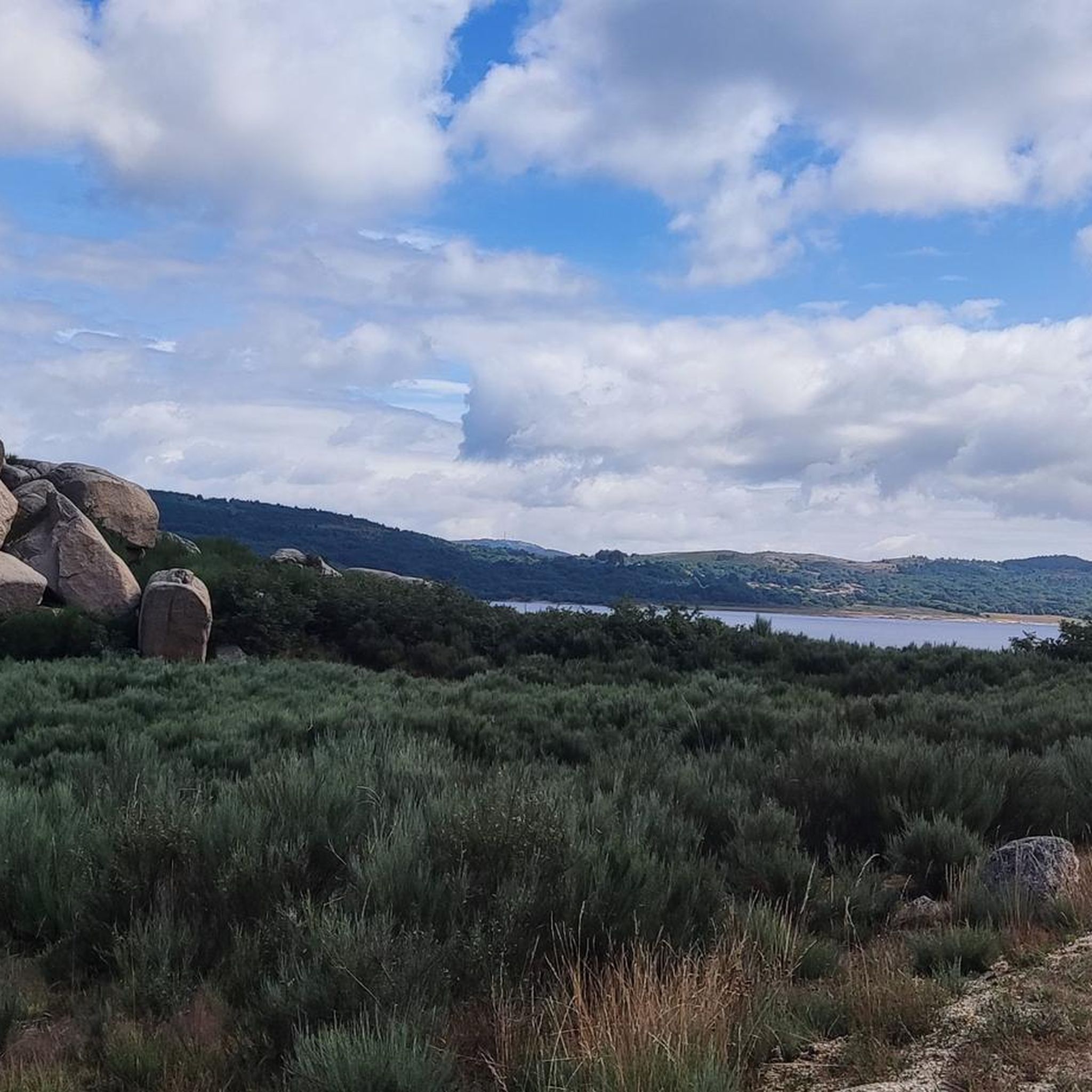
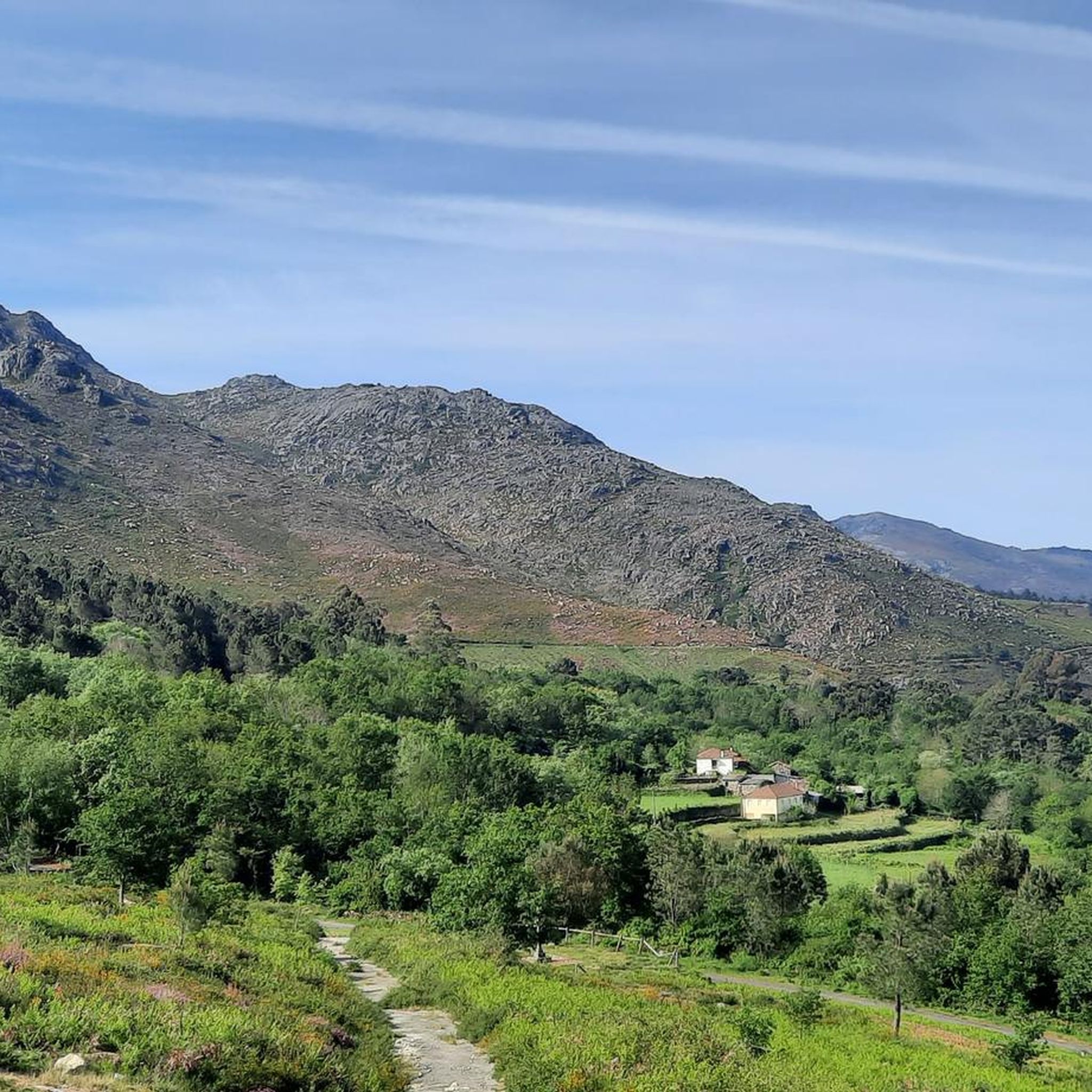
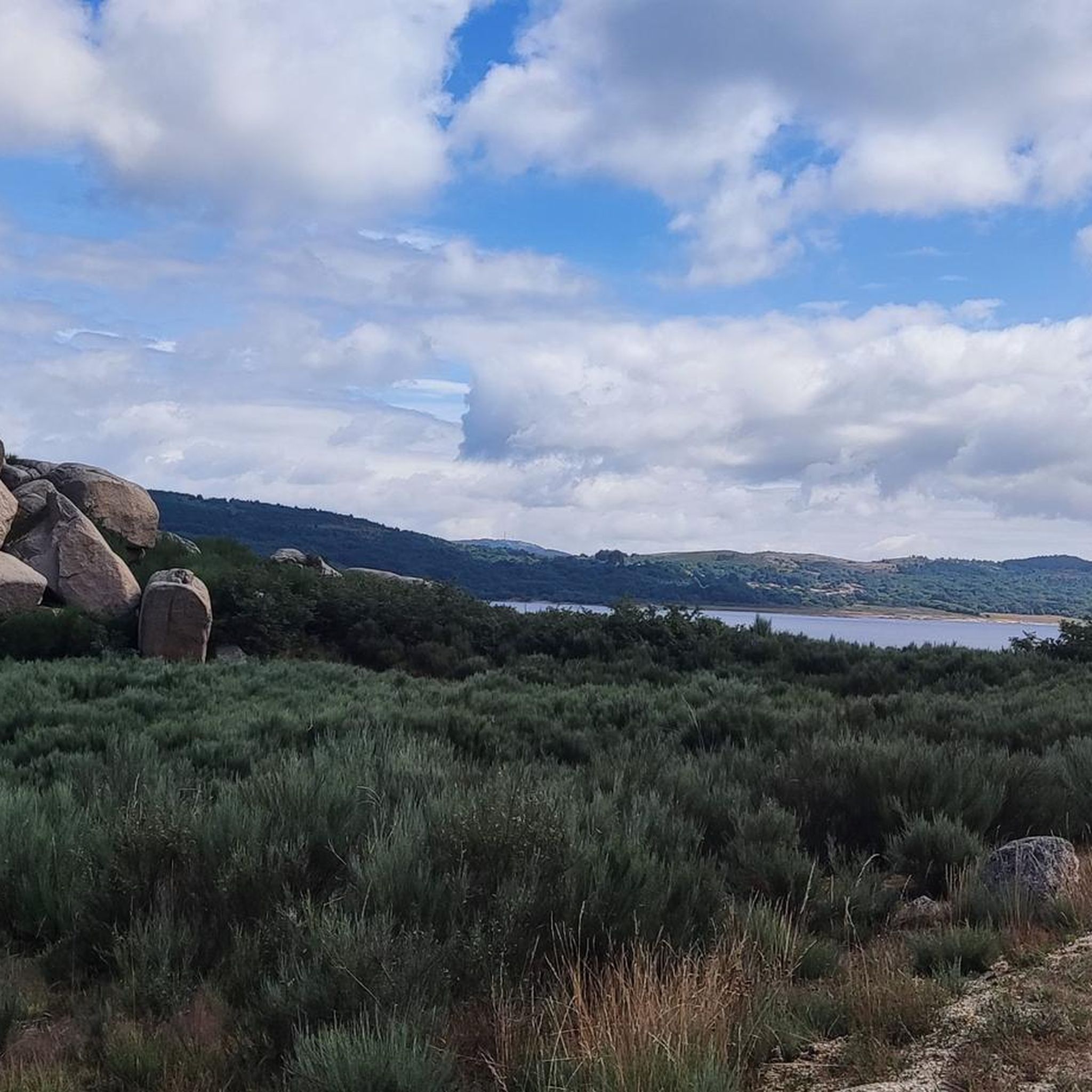
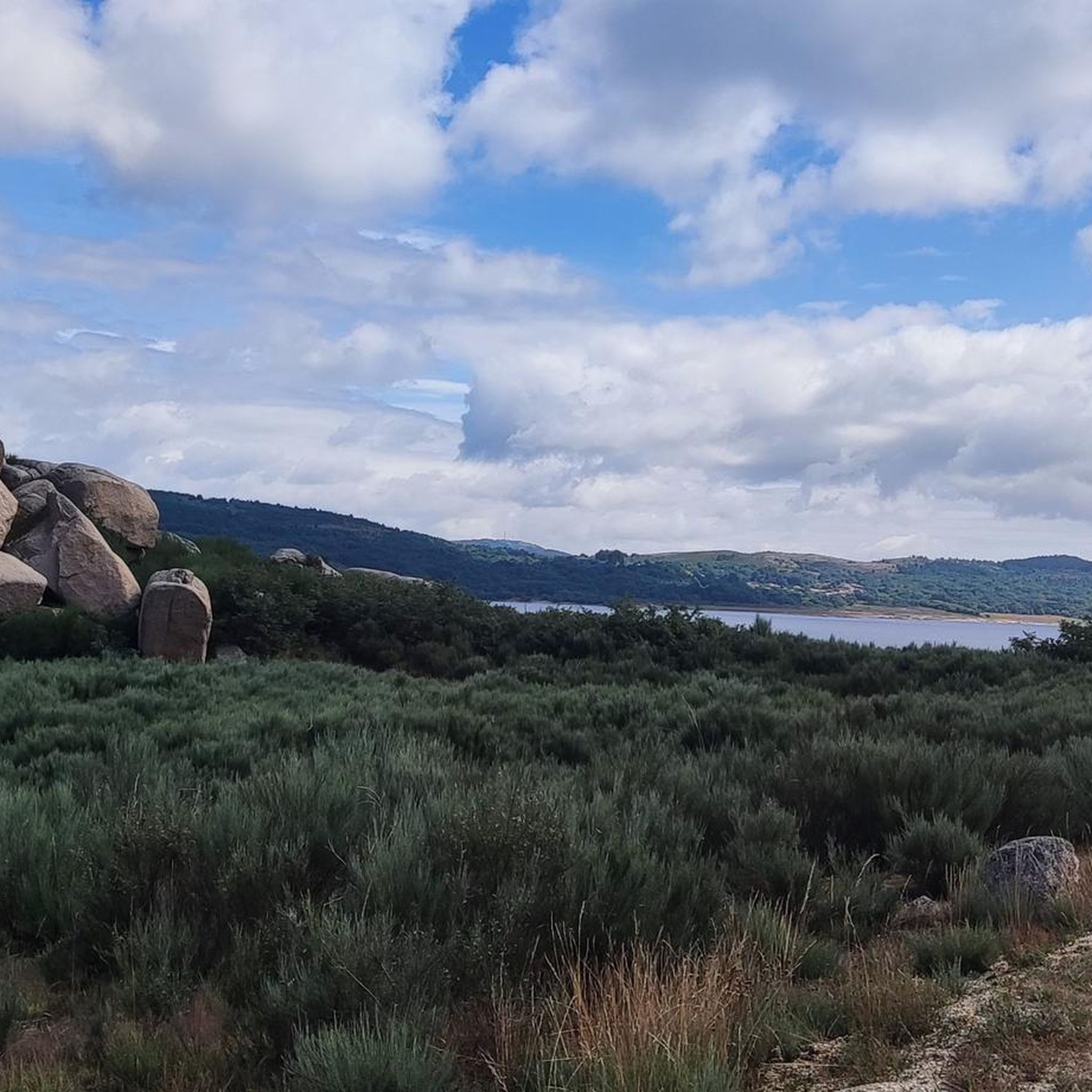
Hiking in Baixa Limia offers diverse landscapes within the Baixa Limia-Serra do Xurés Natural Park, a transboundary biosphere reserve. The region features prominent granite geology, including impressive formations and high mountain valleys reaching up to 1,500 meters above sea level. Numerous waterfalls and rivers, such as the Corgo da Fecha Waterfall and the Limia River, sculpt the terrain. Hikers can explore deciduous and evergreen forests with species like Pyrenean oak and holly.
Best hiking trails in Baixa Limia
- The most…
Last updated: October 1, 2026
4.6
(102)
307
hikers
Moderate hike. Great for any fitness level. Mostly accessible paths. Sure-footedness required.
4.8
(21)
130
hikers
7.45km
02:27
190m
190m
Moderate hike. Good fitness required. Mostly accessible paths. Sure-footedness required.

4.7
(20)
124
hikers
7.24km
02:24
190m
190m
Moderate hike. Good fitness required. Mostly accessible paths. Sure-footedness required.
4.3
(10)
62
hikers
21.3km
08:18
790m
790m
Hard hike. Very good fitness required. Sure-footedness, sturdy shoes and alpine experience required.
3.8
(5)
12
hikers
Hard hike. Very good fitness required. Sure-footedness, sturdy shoes and alpine experience required.
Get access to more routes and recommendations from other explorers.
Already have an account?
Our route recommendations are based on thousands of hikes, rides, and runs completed by other people on komoot.
Start today with a free account
Your next adventure awaits.
Tips from the Community


Beautiful swimming location.
0
0
Beautiful, but crowded in July. There are nicer, less crowded swimming spots nearby.
0
0

Their function is to provide shelter to shepherds and also to provide shelter to hikers from bad weather.
0
0
Located directly on the N308-1. Parking nearby is extremely difficult. The best way is to stop at the border and then walk back along the road (around 1 km).
1
0
The ruins of the old mining town are at an altitude of 1,400 meters. Tungsten was mined here until the end of the 1970s. The hike begins at the Cascata da Portela do Homem.
3
1

Lots of beautiful nature
0
1
View from the bridge
0
1
Frequently Asked Questions
What kind of landscapes can I expect to see while hiking in Baixa Limia?
Baixa Limia is characterized by its prominent granite geology, featuring impressive formations and high mountain valleys that can reach up to 1,500 meters above sea level. You'll also find numerous waterfalls and rivers, such as the Corgo da Fecha, sculpting the terrain. The region boasts diverse forests, including deciduous and evergreen varieties with species like Pyrenean oak, birch, chestnut, and holly.
Are there any waterfalls or natural pools to discover on hikes in Baixa Limia?
Yes, the region is rich in water features. You can visit the impressive Corgo da Fecha Waterfall, which feeds the Caldo River. Nearby, the Corga da Fecha Natural Pool offers crystalline waters. The Limia River itself creates a natural corridor with many cascades.
What historical sites or landmarks can I explore while hiking in Baixa Limia?
Baixa Limia has a rich historical legacy. You can find remains of Roman roads, such as the Vía Nova (or XVIII road), which linked ancient Roman capitals. Milestones from this route are still visible. The area also features megalithic monuments like the Dolmen of Casola do Foxo, a Neolithic collective tomb. Traditional villages, mills, and shepherds' huts add to the cultural interest.
What is the best time of year to go hiking in Baixa Limia?
The diverse flora and water features make Baixa Limia appealing across seasons. Spring and autumn generally offer pleasant temperatures and vibrant landscapes, with blooming flowers or rich fall colors. Summer can be warm, ideal for enjoying natural pools, while winter offers a different, often quieter, experience of the granite mountains.
Are there any challenging long-distance hikes in Baixa Limia?
Yes, Baixa Limia offers several challenging routes for experienced hikers. For example, the Curral das Abrótegas – Minas dos Carris Ruins loop from Portela do Homem is a difficult 21.35 km trail with significant elevation gain. Another demanding option is the Porta do Homem Border Crossing – Mata de Albergaria loop from Portela do Homem, spanning over 16 km.
What do other hikers say about the trails in Baixa Limia?
The hiking trails in Baixa Limia are highly regarded by the komoot community, with an average rating of 4.5 stars from over 1500 reviews. Hikers often praise the varied terrain, the impressive granite formations, and the opportunity to explore both natural beauty and historical sites.
Are there any easy or moderate circular routes suitable for a shorter outing?
Yes, there are several moderate circular routes perfect for shorter outings. You could try the Hiking loop from Portela do Homem, a 7.4 km path that takes about 2.5 hours. Another option is the Mata de Albergaria loop from Portela do Homem, which is 7.2 km and leads through forested areas.
What kind of wildlife might I encounter in Baixa Limia-Serra do Xurés Natural Park?
The park is a haven for diverse wildlife. You might spot species like kestrels, buzzards, roe deer, and wild boars. It's also a Special Protection Area for birds, home to golden eagles, eagle owls, and various harriers. Keep an eye out for unique local breeds such as the Cachena cow, known for its distinctive large horns.
Are there any specific viewpoints or scenic spots recommended along the trails?
The region offers numerous natural viewpoints, often accessible via automobile routes, providing panoramic views of the granite landscapes and mountain ranges. Many trails, especially those in higher elevations or along river valleys, naturally lead to scenic spots. The Rocky riverside trail at Portela do Homem offers picturesque views along the water.
How many hiking routes are available in Baixa Limia?
There are 13 hiking routes documented in Baixa Limia, catering to various skill levels. This includes 3 easy routes, 4 moderate routes, and 6 difficult routes, ensuring options for every hiker.
Can I find trails that cross the border into Portugal's Peneda-Gerês National Park?
Yes, Baixa Limia forms a transboundary biosphere reserve with Portugal's Peneda-Gerês National Park. This contiguous protected area allows for seamless cross-border exploration, offering an even larger expanse for outdoor enthusiasts to discover.
Where can I find more information about the park's flora and general features?
The Puerta de Lobios Interpretation Centre serves as a visitor center for the Baixa Limia-Serra do Xurés Natural Park. It provides valuable information about the park's diverse flora, geology, and other general features, helping visitors plan their exploration.
Most popular routes in Baixa Limia
Most popular attractions in Baixa Limia

Get inspired with the komoot mobile app


Explore more
Browse the best Hikes in other regions.
