The best road cycling routes around Río Eo
4.1
(23)
1,353
riders
16
rides
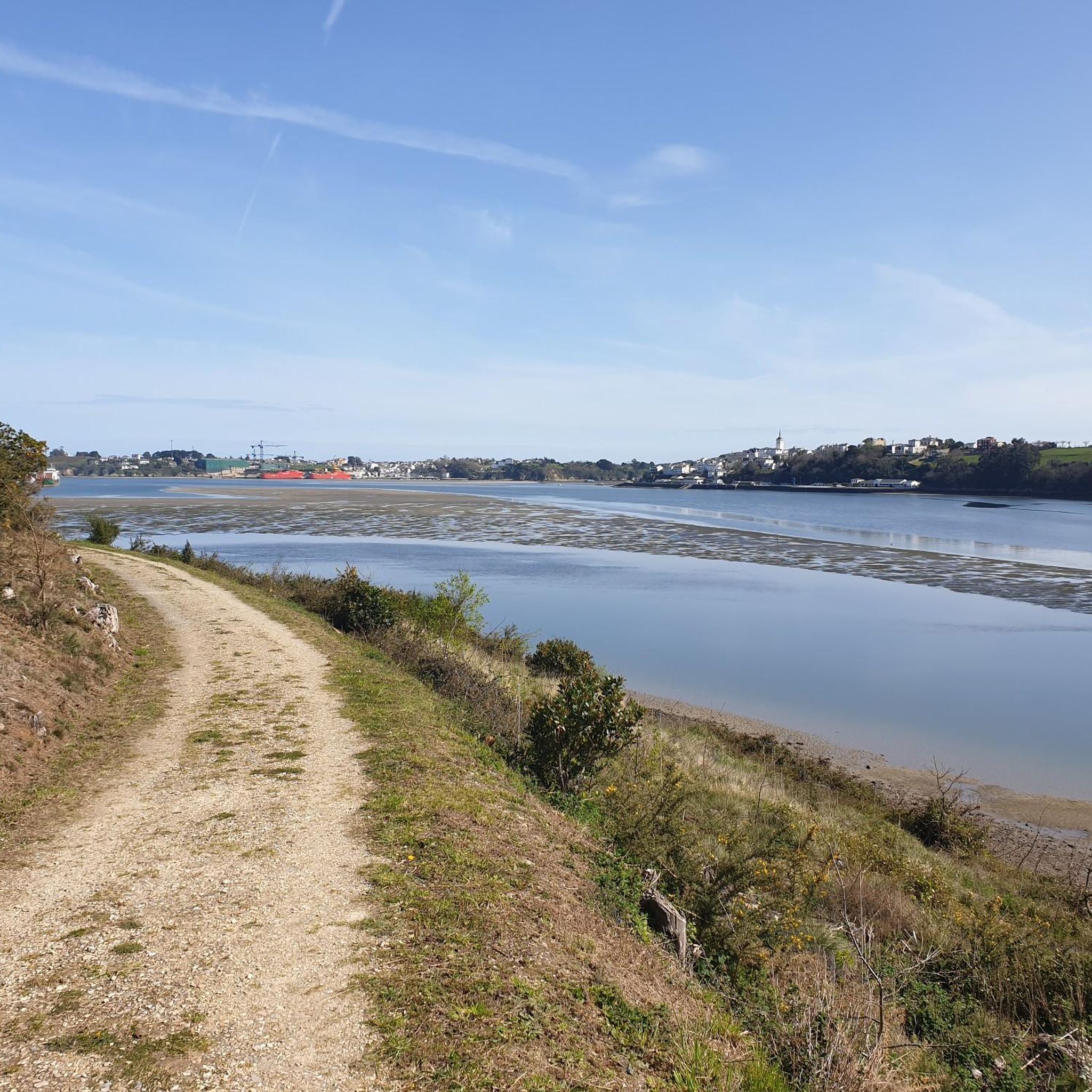
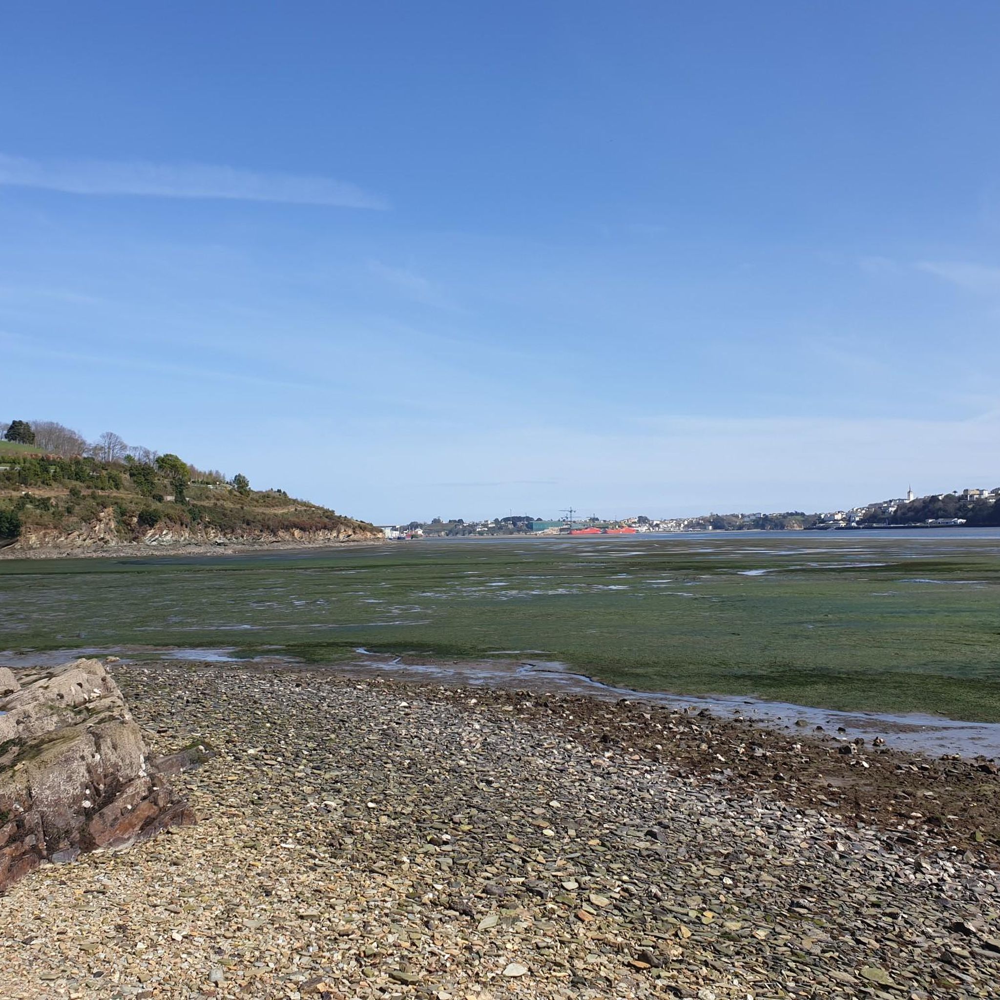
Road cycling routes around Río Eo traverse a diverse landscape situated between Asturias and Galicia in northern Spain. The region is characterized by its coastal areas, river valleys, and access to more challenging mountain passes in the broader Asturian territory. Cyclists will find routes that follow the Río Eo, a UNESCO Biosphere Reserve, and extend towards the Cantabrian Sea, offering varied terrain from gentle riverside paths to significant climbs.
Best road cycling routes around Río Eo
- The most popular road…
Last updated: May 26, 2026
164km
07:51
2,220m
2,220m
Hard road ride. Very good fitness required. Mostly well-paved surfaces and easy to ride.
5.0
(1)
63
riders
Moderate road ride. Good fitness required. Mostly well-paved surfaces and easy to ride.

Sign up for free
16
riders
124km
07:14
2,950m
2,950m
Hard road ride. Very good fitness required. Mostly well-paved surfaces and easy to ride.
12
riders
73.9km
03:31
910m
910m
Hard road ride. Very good fitness required. Mostly well-paved surfaces and easy to ride.
7
riders
56.0km
03:21
1,330m
1,330m
Hard road ride. Very good fitness required. Some segments of this route may be unpaved and difficult to ride.
9
riders
53.3km
02:33
680m
680m
Moderate road ride. Good fitness required. Mostly well-paved surfaces and easy to ride.
8
riders
81.4km
04:33
1,390m
1,390m
Hard road ride. Very good fitness required. Some segments of this route may be unpaved and difficult to ride.
5
riders
59.8km
03:05
1,040m
1,040m
Hard road ride. Very good fitness required. Mostly well-paved surfaces and easy to ride.
6
riders
37.6km
02:14
870m
870m
Moderate road ride. Good fitness required. Some segments of this route may be unpaved and difficult to ride.
5.0
(1)
5
riders
78.3km
04:31
1,810m
1,810m
Hard road ride. Very good fitness required. Some segments of this route may be unpaved and difficult to ride.
Get access to more routes and recommendations from other explorers.
Sign up for free
Already have an account?
Our route recommendations are based on thousands of hikes, rides, and runs completed by other people on komoot.
Start today with a free account
Your next adventure awaits.
Login or Signup

Tips from the Community

Vegadeo is the westernmost town in Asturias. It is located at the confluence of the Eo and Suarón rivers, at the headwaters of the Ribadeo wetland. It is an important commercial center in the area.
0
0

A museum - free admission on Tuesdays. Otherwise, the prices are reasonable.
0
1
A collegiate church with its doors open. Which is very rare. The interior is very beautiful.
1
1
A nice little village with 1,000 inhabitants. There's a grocery store, but don't expect much. The prices are okay, though.
0
1

It is known for its hydroelectric dam on the Navia River, forming the Salime Reservoir. It is also an important stop on the Primitive Way of St. James, the last stretch of Asturian land before entering Galicia.
1
0
It is known for its hydroelectric dam on the Navia River, forming the Salime Reservoir. It is also an important stop on the Primitive Way of St. James, the last stretch of Asturian land before entering Galicia.
1
0
Praia das Illas is a beautiful beach located near Ribadeo, in the province of Lugo, Galicia. It is known for its stunning natural scenery and its tranquility compared to the more famous Playa de las Catedrales.
7
0

Frequently Asked Questions
How many road cycling routes are available in the Río Eo region?
The Río Eo region offers a variety of road cycling experiences, with over 15 routes documented on komoot. These routes cater to different skill levels, from moderate coastal loops to challenging mountain passes.
What makes road cycling in the Río Eo region unique?
The Río Eo region stands out for its diverse landscape, blending coastal beauty with lush river valleys and access to the challenging Asturian mountains. You can ride along the Río Eo, a UNESCO Biosphere Reserve, explore historical industrial heritage, or tackle demanding climbs that offer panoramic views of the Cantabrian Sea and even the Picos de Europa.
Are there road cycling routes suitable for families or beginners in Río Eo?
Yes, the region offers options for all skill levels. The Praia das Illas – Scenic Road Along the Río Eo loop is a moderate route that follows coastal and riverside landscapes. While the Eo Greenway is ideal for families and beginners, it's primarily a paved path for general cycling, not specifically a road cycling route listed here. However, the general area provides accessible terrain.
Where can I find challenging road cycling routes in the Río Eo area?
For experienced road cyclists seeking a challenge, the Río Eo region provides access to routes with significant elevation gains. Consider the Ribadeo - Vilalba - Meira Loop, a difficult 163.7 km trail with over 2,200 meters of climbing. Another demanding option is the Santa Eulalia de Oscos – Grandas de Salime loop, which ascends through mountainous terrain with nearly 3,000 meters of positive slope.
What historical or natural attractions can I see along road cycling routes in Río Eo?
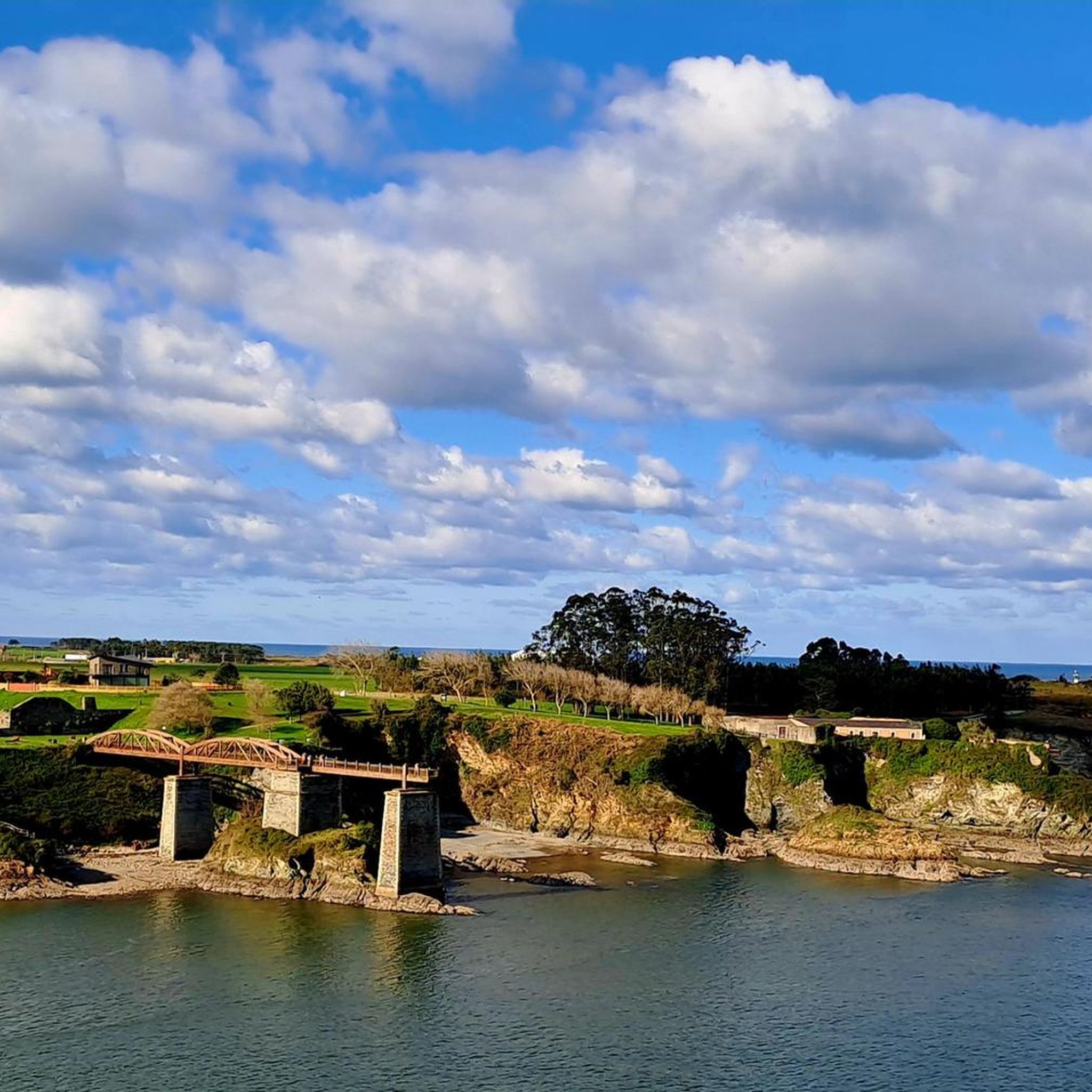
Many routes offer glimpses of the region's rich heritage and natural beauty. You might pass by the historic Hornos de Vilaoudriz, an old ironworks, or the impressive Puente de los Santos. Coastal routes often lead to stunning natural features like the dramatic Beach of the Cathedrals (Praia das Illas) or the Isla Pancha Lighthouse.
Are there any circular road cycling routes in Río Eo?
Yes, many of the road cycling routes in Río Eo are designed as loops, allowing you to start and finish in the same location. Examples include the Porto Bridge – Praia das Illas loop and the Ribadeo Port – Isla Pancha Lighthouse loop, both offering scenic rides.
What is the best time of year for road cycling in Río Eo?
The Río Eo region is generally pleasant for cycling from spring through autumn. The summer months offer warmer temperatures and longer daylight hours, ideal for coastal rides. Spring and early autumn provide milder weather, perfect for tackling more challenging mountain routes without extreme heat. Winter cycling is possible but may involve cooler temperatures and a higher chance of rain, especially in the mountains.
What do other road cyclists enjoy most about the routes in Río Eo?
The road cycling routes in Río Eo are highly rated by the komoot community, with an average score of 3.8 stars from over 13 reviews. Cyclists often praise the varied terrain, from scenic coastal roads to challenging mountain passes, and the well-preserved natural environment that offers a blend of rural landscapes and river views.
What are the typical conditions of road cycling trails in Río Eo?
Road cycling routes in Río Eo primarily utilize paved surfaces, ranging from well-maintained coastal roads to quieter secondary roads in rural and mountainous areas. While the Eo Greenway is known for its smooth, accessible path, other routes can feature varying road quality, especially on less-trafficked mountain ascents. Always be prepared for changes in road conditions, particularly after adverse weather.
Can I find places to eat or drink near the road cycling routes?
Yes, the Río Eo region, with its blend of lively rural landscapes and quaint villages, offers opportunities to find cafes and pubs. Routes often pass through or near towns like Ribadeo, Castropol, or A Pontenova, where you can refuel and enjoy local cuisine. Planning your route with komoot allows you to identify such stops along the way.
Are there options for parking near the road cycling routes in Río Eo?
Many towns and villages that serve as starting points for road cycling routes in Río Eo offer parking facilities. For instance, areas around Ribadeo, Castropol, or A Pontenova typically have public parking available. When planning your ride, it's advisable to check specific starting locations for parking availability.
How long do road cycling routes in Río Eo typically take to complete?
The duration of road cycling routes in Río Eo varies significantly based on distance and difficulty. Shorter, moderate loops like the Praia das Illas – Scenic Road Along the Río Eo loop (55.7 km) can be completed in about 2 hours 38 minutes. More challenging and longer routes, such as the Ribadeo - Vilalba - Meira Loop (163.7 km), can take over 7 hours due to substantial elevation gain.
Is road cycling in Río Eo possible during winter?
Road cycling in Río Eo is generally possible during winter, especially along the coast where temperatures are milder. However, be prepared for cooler weather, potentially higher chances of rain, and shorter daylight hours. Mountainous routes might be more challenging due to colder conditions and possible icy patches at higher elevations. Always check local weather forecasts before heading out.
Most popular routes around Río Eo
Most popular attractions around Río Eo

Get inspired with the komoot mobile app


Explore more
Browse the best Road cycling routes in other regions.
