The best cycling routes in Monte Faro
5.0
(2)
21
riders
17
rides
Touring cycling routes in Monte Faro traverse the Galician landscape, characterized by its smooth, often flat peaks and extensive indigenous oak forests. The region is part of the Dorsal de Galicia mountain range, offering panoramic views across all four Galician provinces from higher elevations. Routes often follow river valleys and wind through a lush environment that receives abundant rain. This area provides a diverse terrain for touring cyclists, from challenging climbs to more serene paths.
Best touring cycling routes in…
Last updated: October 2, 2026
4
riders
35.9km
02:51
570m
570m
Hard bike ride. Very good fitness required. Mostly paved surfaces. Suitable for all skill levels.
6
riders
81.4km
06:34
1,580m
1,580m
Hard bike ride. Very good fitness required. Mostly paved surfaces. Suitable for all skill levels.

5
riders
70.1km
05:10
1,530m
1,530m
Cycle a difficult 43.6-mile route around the Miño River and Os Peares Dam Reservoir, featuring vineyards and river views.
5.0
(1)
1
riders
48.5km
03:38
1,060m
1,070m
Cycle a difficult 30.2-mile touring route around Chantada and Roderio, climbing Monte Faro for panoramic views in a Special Conservation Are
5.0
(1)
5
riders
35.9km
03:04
830m
840m
Hard bike ride. Very good fitness required. Mostly paved surfaces. Suitable for all skill levels.
Get access to more routes and recommendations from other explorers.
Already have an account?
Our route recommendations are based on thousands of hikes, rides, and runs completed by other people on komoot.
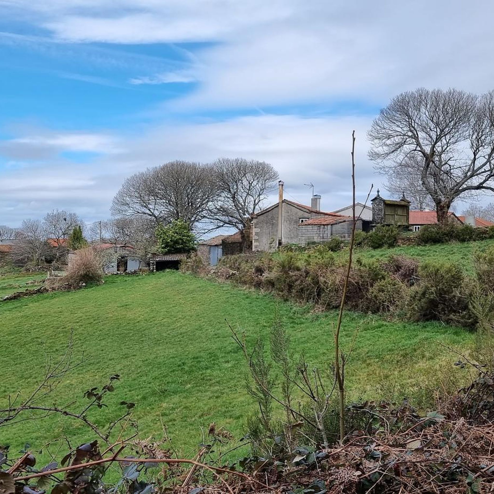

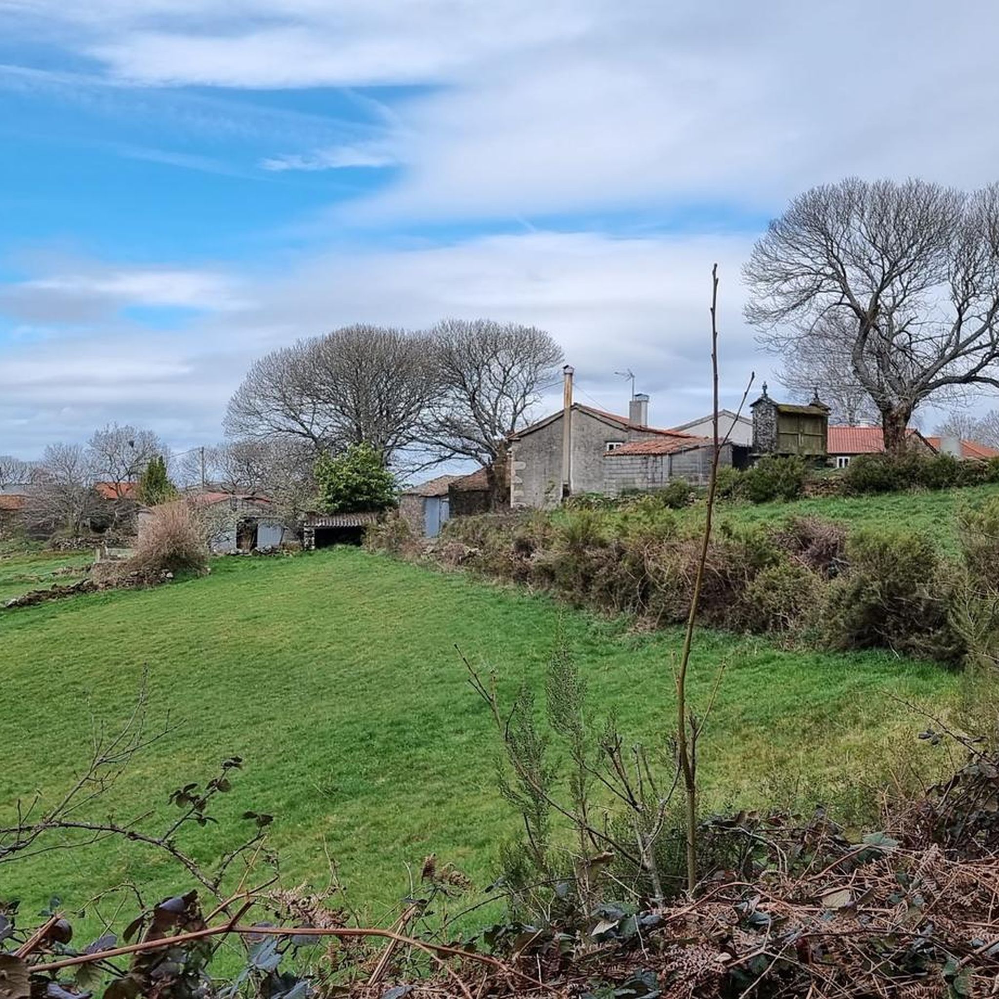
Tips from the Community

Great mural. The Lego figures give it a very special look.
1
0

Excellent town to take a break
0
0

The “Chantada Bridge” refers to a bridge located on Calle de la Ponte in Chantada. This area is known for its natural beauty and its importance on the Winter Camino de Santiago, an alternative route for pilgrims heading to Santiago de Compostela.
24
0

It is a fantastic place to recuperate. Excellent atention. They make sandwiches for the route.
0
0

Hydroelectric dam on the river Miño upstream before the mighty river meets the river Sil at os Peares. Crossing the dam gives you an incredible view of the power of the water.
3
0
Tall waterfall through the jagged rocky landscape carved by nature through the centuries in the Mino river basin.
3
0
Natural park with trails along the Asma River as it passes through Chantada. Native landscape surrounded by river water and trees.
1
0
The peak Monte Faro de la Dorsal Gallega rises to 1181 meters above sea level, at the middle point between el Rodeiro and Chantada. The grand elevation offers spectacular views of the landscape. In the upper part, one could see a small church built in the 17th century over a previous spiritual temple.
2
0
Frequently Asked Questions
How many touring cycling routes are available in Monte Faro?
Monte Faro offers a diverse selection of touring cycling routes, with over 20 options available. These routes cater to various skill levels, including 1 easy, 10 moderate, and 10 difficult trails, ensuring there's a suitable ride for most cyclists.
What kind of terrain can I expect on touring cycling routes in Monte Faro?
The touring cycling routes in Monte Faro, located in the Galician landscape, feature smooth, often flat peaks and extensive indigenous oak forests. You'll find routes following river valleys and winding through lush environments. While some paths offer serene rides, many routes include significant elevation gain, providing challenging climbs for those seeking a more strenuous experience.
Are there any circular touring cycling routes in Monte Faro?
Yes, Monte Faro features several excellent circular touring cycling routes. A popular option is the Mel do Saldoiro – Rodeiro Town Hall loop from Rodeiro, which is 35.9 km long and takes approximately 2 hours 51 minutes to complete. Another challenging loop is the Chantada Town Center – Rodeiro Town Hall loop from Rodeiro, spanning 82.7 km with significant elevation.
What are some notable natural features or landmarks to see along the touring cycling routes?
As you cycle through Monte Faro, you'll experience the region's defining indigenous oak forests and panoramic mountain views. Routes often follow river valleys, such as the Miño River, and pass by impressive structures like the Os Peares Dam Reservoir, as seen on the Chantada - tour around the Miño River and Os Peares Dam Reservoir route. The higher elevations of Monte Faro itself offer extensive views across all four Galician provinces.
What is the best time of year to go touring cycling in Monte Faro?
Monte Faro receives abundant rain, which contributes to its lush environment. While cycling is possible year-round, the best time to visit for touring cycling is typically during the drier months to fully enjoy the trails and panoramic views without the challenge of wet conditions. Spring and early autumn often offer pleasant temperatures and less rainfall.
Are there any family-friendly touring cycling routes in Monte Faro?
While many routes in Monte Faro are rated moderate to difficult due to elevation changes, there is at least one easy touring cycling route available. For families, it's advisable to check the difficulty grade and elevation profile of specific routes on komoot to find paths that are suitable for all members. The region's river valleys might offer flatter sections more amenable to family rides.
What do other touring cyclists say about their experience in Monte Faro?
The touring cycling routes in Monte Faro are highly regarded by the komoot community, holding an average rating of 5.0 stars. Cyclists often praise the diverse terrain, from challenging climbs to serene paths through indigenous oak forests and along river valleys. The panoramic mountain views are also a frequently mentioned highlight.
How long do touring cycling routes in Monte Faro typically take to complete?
The duration of touring cycling routes in Monte Faro varies significantly based on distance and difficulty. For example, the Mel do Saldoiro – Rodeiro Town Hall loop from Rodeiro takes approximately 2 hours 51 minutes for 35.9 km. Longer, more challenging routes like the Chantada - tour around the Miño River and Os Peares Dam Reservoir can take around 5 hours 10 minutes for 70.1 km.
Are there options for advanced touring cyclists looking for a challenge?
Absolutely. Monte Faro is well-suited for advanced touring cyclists, with 10 routes rated as 'difficult' and 10 as 'moderate'. These routes often feature significant elevation gains and longer distances. For instance, the Chantada - tour around Roderio – Special Conservation Area Monte Faro covers 48.5 km with over 1000 meters of ascent, providing a substantial workout.
Can I find routes that explore the Special Conservation Area of Monte Faro?
Yes, there are touring cycling routes that allow you to explore the Special Conservation Area of Monte Faro. The Chantada - tour around Roderio – Special Conservation Area Monte Faro is a prime example, offering a 48.5 km journey through this protected natural environment, characterized by its indigenous forests and unique landscapes.
What is the typical elevation gain on touring cycling routes in Monte Faro?
Elevation gain on Monte Faro's touring cycling routes can vary significantly. While some routes might be flatter, many feature considerable ascents. For example, the Lego Galician Folk Mural – Chantada Town Center loop from Chantada involves over 830 meters of climbing, and more challenging routes can exceed 1500 meters of elevation gain.

Get inspired with the komoot mobile app


Explore more
Browse the best Cycling routes in other regions.
