The best walks and hikes around Pellworm
4.7
(912)
4,891
hikers
105
hikes
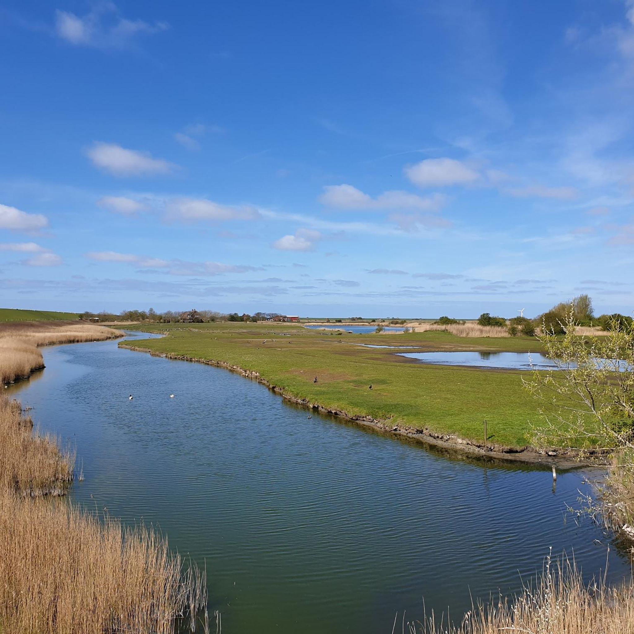
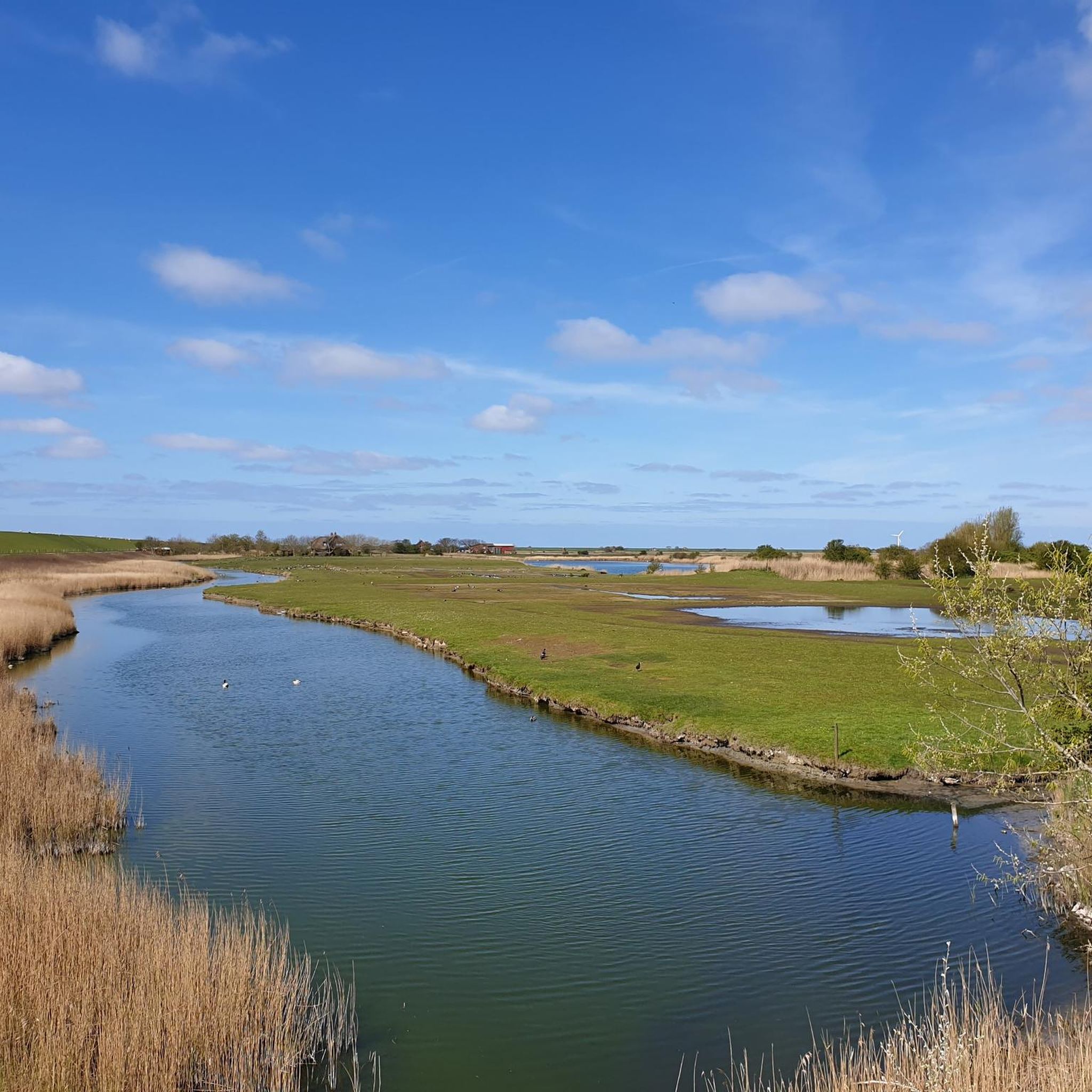
Hiking trails around Pellworm are characterized by the island's flat, coastal landscape, offering expansive views of the Wadden Sea and surrounding marshlands. The terrain primarily consists of dikes, coastal paths, and quiet country roads, with minimal elevation changes. This makes the region suitable for relaxed walks and longer excursions across open fields and along the shoreline. Pellworm's environment provides a unique setting for exploring the North Sea ecosystem.
Best hiking trails around Pellworm
- The most popular hiking route is Wadden…
Last updated: August 25, 2026
4.1
(8)
63
hikers
8.93km
02:15
10m
10m
Moderate hike. Good fitness required. Easily-accessible paths. Suitable for all skill levels.
4.9
(9)
52
hikers
18.0km
04:30
10m
10m
Moderate hike. Good fitness required. Easily-accessible paths. Suitable for all skill levels.

Sign up for free
5.0
(7)
57
hikers
Easy hike. Great for any fitness level. Easily-accessible paths. Suitable for all skill levels.
4.5
(6)
45
hikers
Moderate hike. Good fitness required. Easily-accessible paths. Suitable for all skill levels.
4.3
(4)
38
hikers
5.95km
01:30
0m
0m
Easy hike. Great for any fitness level. Easily-accessible paths. Suitable for all skill levels.
Get access to more routes and recommendations from other explorers.
Sign up for free
Already have an account?
Our route recommendations are based on thousands of hikes, rides, and runs completed by other people on komoot.
Start today with a free account
Your next adventure awaits.
Login or Signup


Tips from the Community

A funny old building
0
1

Mr Bahnsen died at the beginning of the year, and the future of the museum is uncertain. You can visit him at the old church.
1
0

The tower ruin is probably the most important sight on the island of Pellworm. It was once 50m high and was also used as a navigation mark. It collapsed in 1611 without any external influence because the foundations in the marshy soil no longer had any support. It is used by birds as a breeding ground.
2
0

We can recommend the waffles at coffee time.
2
0

Small but nice museum about the Rungholt legend
0
0
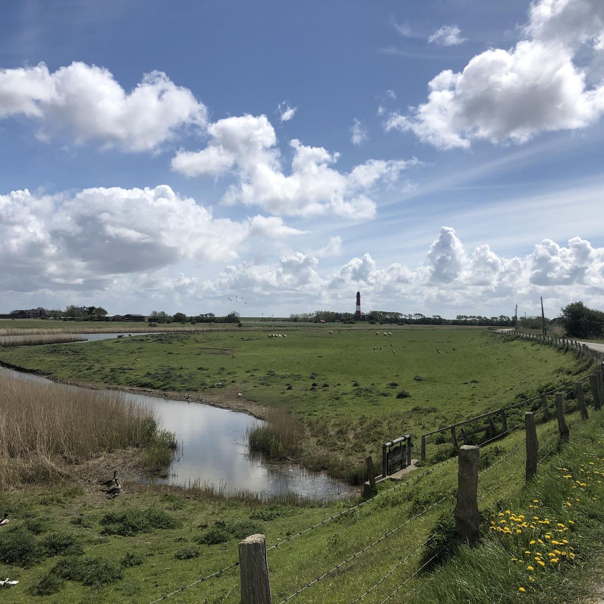
View from the dike to the old church in Pellworm
0
0

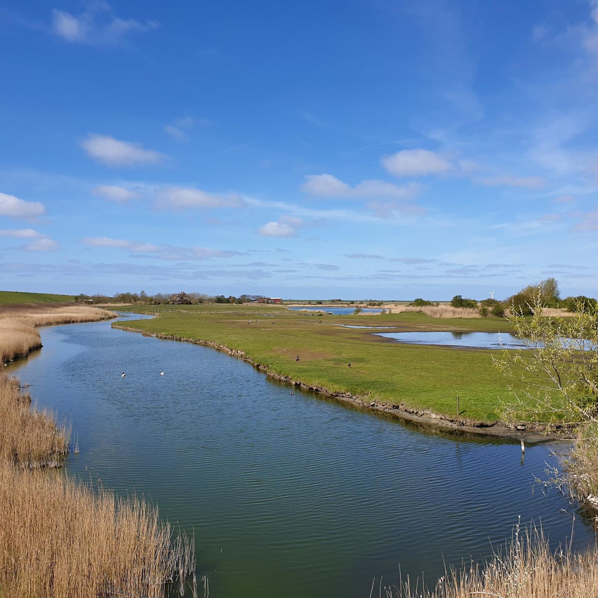
The path leads through the middle of Pellworm, the Sielstieg near Tammensiel - Karkenstieg near the New Church. It is a bit bumpy but the view over the island makes up for it.
4
0
Frequently Asked Questions
How many hiking trails are there in Pellworm?
Pellworm offers a wide variety of hiking experiences, with over 100 routes available. These range from easy strolls along the dikes to more moderate excursions across the island's unique coastal landscape.
What do other hikers enjoy about hiking in Pellworm?
The komoot community highly rates hiking in Pellworm, with an average score of 4.6 stars from over 190 reviews. Hikers often praise the expansive views of the Wadden Sea, the tranquil coastal paths, and the island's flat terrain, which makes for relaxed and enjoyable walks.
Are there family-friendly hiking trails in Pellworm?
Yes, Pellworm is ideal for family-friendly hikes due to its predominantly flat terrain and minimal elevation changes. Many of the island's 57 easy routes are suitable for all ages. A good option for families is the Rungholt Museum – Beach café loop from Ponyhof, which is an easy 3.7-mile (5.9 km) trail.
Can I bring my dog on hikes in Pellworm?
Pellworm is generally dog-friendly, but it's important to keep dogs on a leash, especially when walking along dikes or through nature protection areas, to protect local wildlife and livestock. Always clean up after your pet.
Are there many circular hiking routes in Pellworm?
Yes, many of the hiking routes in Pellworm are designed as loops, allowing you to start and end at the same point. For example, the popular Wadden Sea Information Display – Pellworm Lighthouse loop from Tammensiel is a 5.7-mile (9.1 km) circular trail offering scenic views.
What interesting sights can I see along the hiking trails in Pellworm?
Pellworm's trails offer views of the Wadden Sea and lead to various points of interest. You can discover the iconic Pellworm Lighthouse, explore the tranquil Fuhlehörn Beach, or visit the Nordermühle (North Mill). Many routes also pass by the unique marshlands and historic sites like the Fething Tammwarft Archaeological Monument.
What is the best time of year to hike in Pellworm?
The best time to hike in Pellworm is typically from spring to early autumn (April to October) when the weather is milder and the days are longer. The island can be windy, so layers are always recommended. Summer offers pleasant temperatures for coastal walks, while spring and autumn provide beautiful natural scenery with fewer crowds.
Are there any wheelchair-accessible walks in Pellworm?
Given Pellworm's flat landscape and network of dikes and paved coastal paths, there are several options for wheelchair users. While not all trails are specifically designated as accessible, many sections of the dikes and village roads offer smooth surfaces suitable for wheelchairs. It's advisable to check specific route conditions before heading out.
Where can I park when hiking in Pellworm?
Parking is generally available at key points around the island, including near the ferry terminal in Tammensiel and at various beach access points or village centers. Many trailheads, especially for popular routes, will have designated parking areas nearby. Always look for signs and adhere to local parking regulations.
Are there cafes or places to stop for refreshments along the trails?
Yes, Pellworm has several cafes and restaurants, particularly in the main villages and near popular attractions. You can often find places to stop for a break and refreshments, especially if your route passes through or near Tammensiel or other populated areas. For example, the Beach café – Karkenstieg Footpath loop from Tammensiel explicitly mentions a beach cafe.
What kind of trail lengths and difficulties can I expect in Pellworm?
Pellworm's hiking trails are predominantly easy to moderate, with 57 easy and 46 moderate routes out of over 100 total. Distances vary, from shorter strolls of a few kilometers to longer excursions up to 11 miles (18 km), such as the Beach café – Pellworm Lighthouse loop from Alte Kirche Sankt Salvator. The terrain is generally flat, making most routes accessible for a wide range of fitness levels.
Is Pellworm suitable for winter hiking?
Winter hiking in Pellworm can be a unique experience, offering crisp air and dramatic coastal scenery. However, be prepared for cold temperatures, strong winds, and potentially icy conditions on paths. Dress in warm, waterproof layers, and check weather forecasts before heading out. Some facilities might have reduced opening hours during the off-season.
Most popular routes around Pellworm
Most popular attractions around Pellworm

Get inspired with the komoot mobile app


Explore more
Browse the best Hikes in other regions.
