The 20 Most Amazing Peaks in Alt Pirineu
Best mountain peaks in Alt Pirineu are found within Catalonia's largest natural park, featuring diverse landscapes and rich biodiversity. This region, situated along the border with Andorra and France, is characterized by high peaks, deep valleys, and numerous glacial lakes. The park's alpine landscapes and ancient glacial formations offer varied terrain for exploration. It is a significant area for high-mountain scenery and natural features.
Best mountain peaks in Alt Pirineu
- The most popular mountain peaks is Pica d'Estats, a…
Last updated: October 10, 2026
Pica d'Estats
Highlight • Summit
Showing Translation
Tip by

Port de Cabús
Highlight • Mountain Pass
Translated by Google •
Tip by

Sign up now to discover places like this
Get recommendations on the best single tracks, peaks, & plenty of other exciting outdoor places.
Verdaguer Peak
Highlight • Summit
Translated by Google •
Tip by

Tuc del Rosari Summit
Highlight • Summit
Translated by Google •
Tip by
Pic de Sotllo (3073 m)
Highlight • Summit
Less well known than the Estats, but no less worthwhile.
Caution! From the French (northeast) side / Refuge du Pinet, the …
Translated by Google •
Tip by

Sign up for free to discover even more peaks in Alt Pirineu.
Already have an account?
Start today with a free account
Your next adventure awaits.
Popular around Alt Pirineu
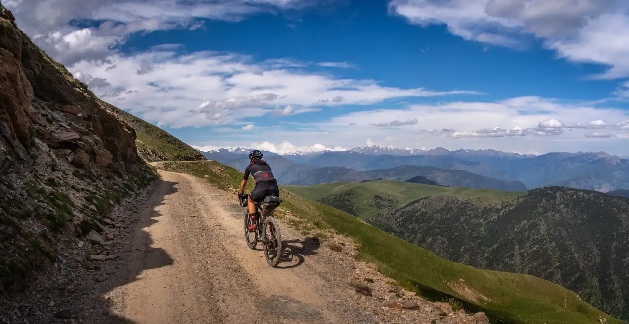
Pedals de Foc – An adventure through the Catalan Pyrenees

Road to Lisbon – bikepacking the Alps, Pyrenees and Picos de Europa

Haute Route Pyrénéenne – Pyrenees Crossing
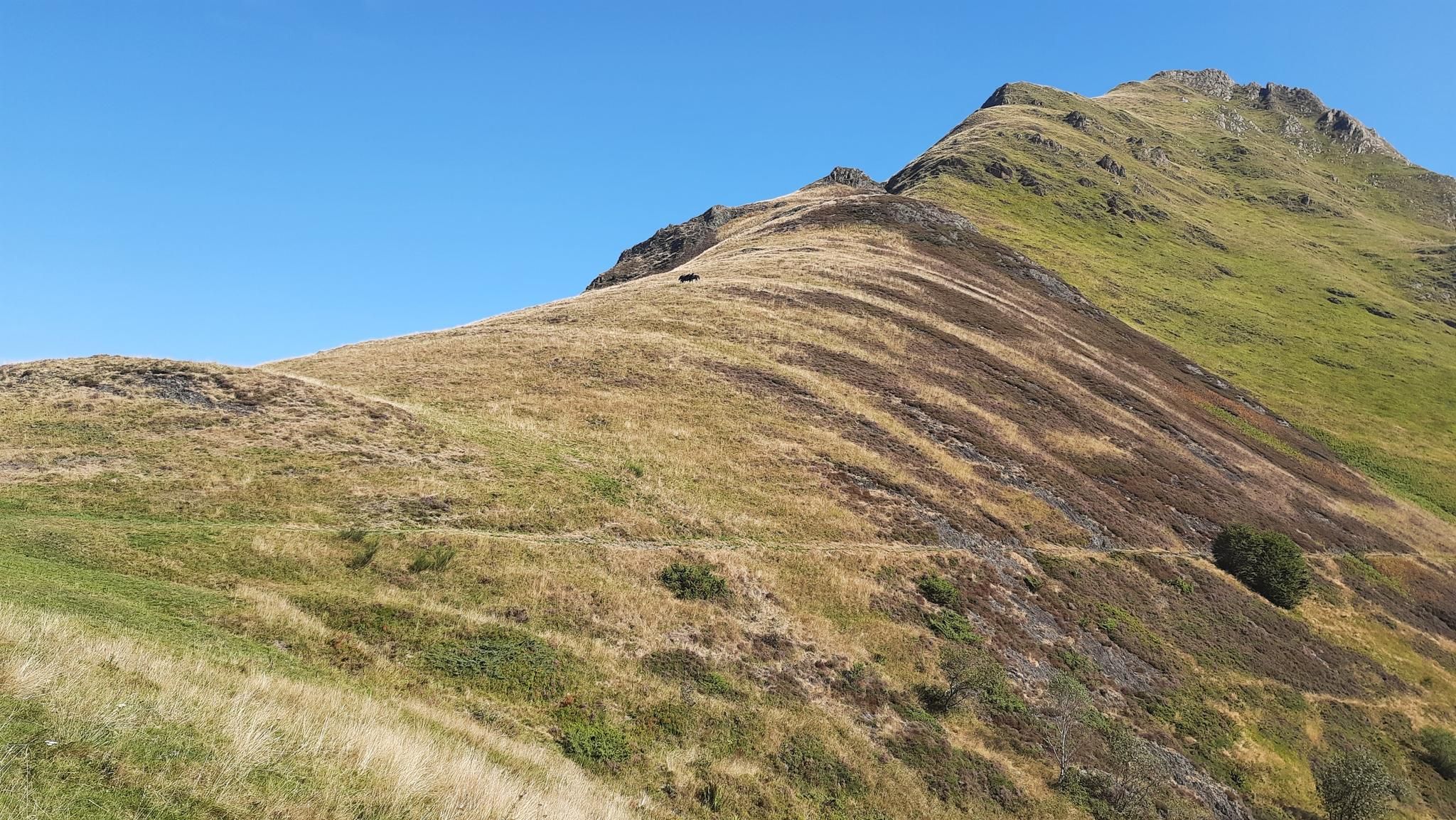
Tour of Mont Valier - The Giant of Ariège

On wild ridges: Catalonia to Ariège – Hexatrek, Eastern Pyrenees

Catalonia and Andorra on the Pyrenean Trail – GR 11
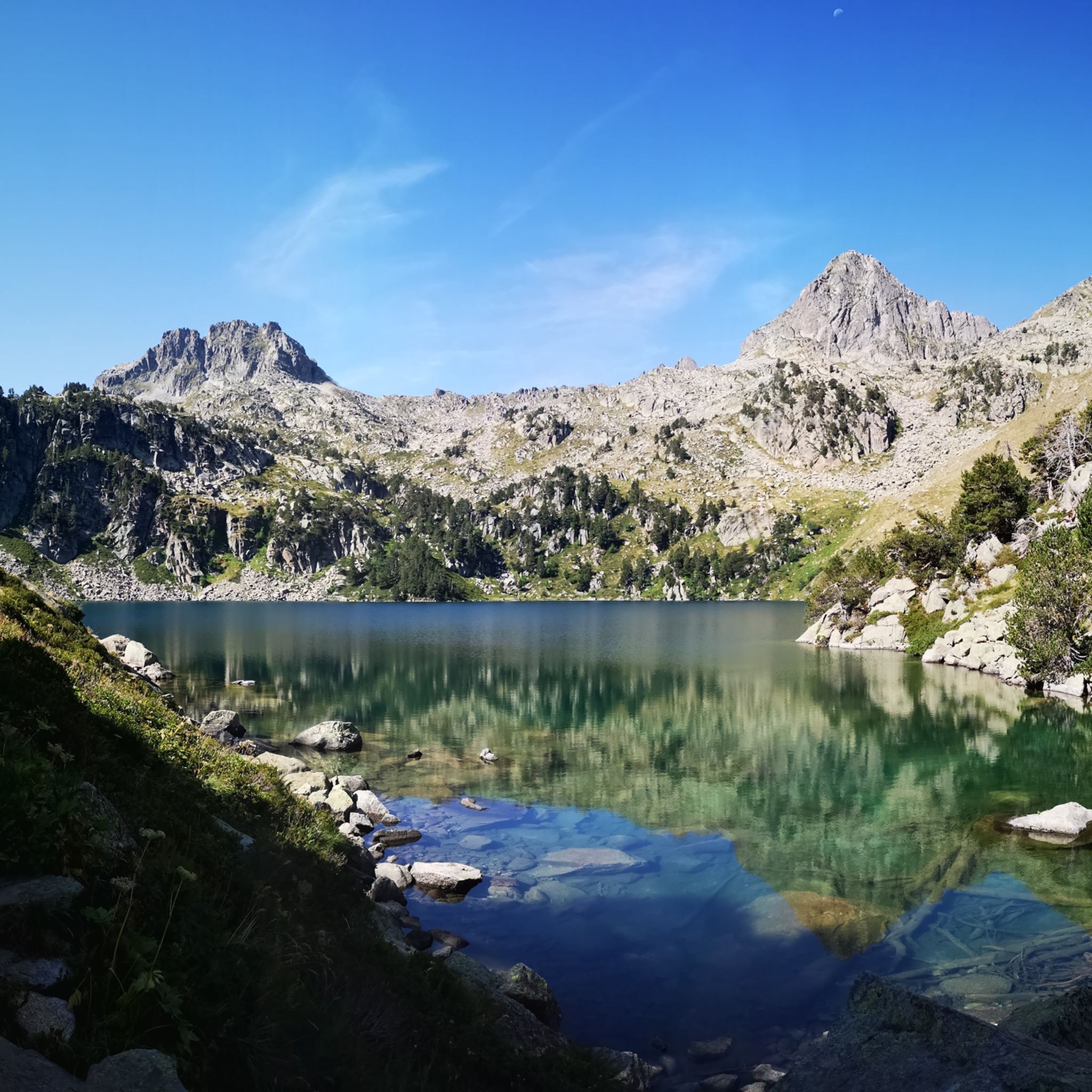
Hiking in Alt Pirineu
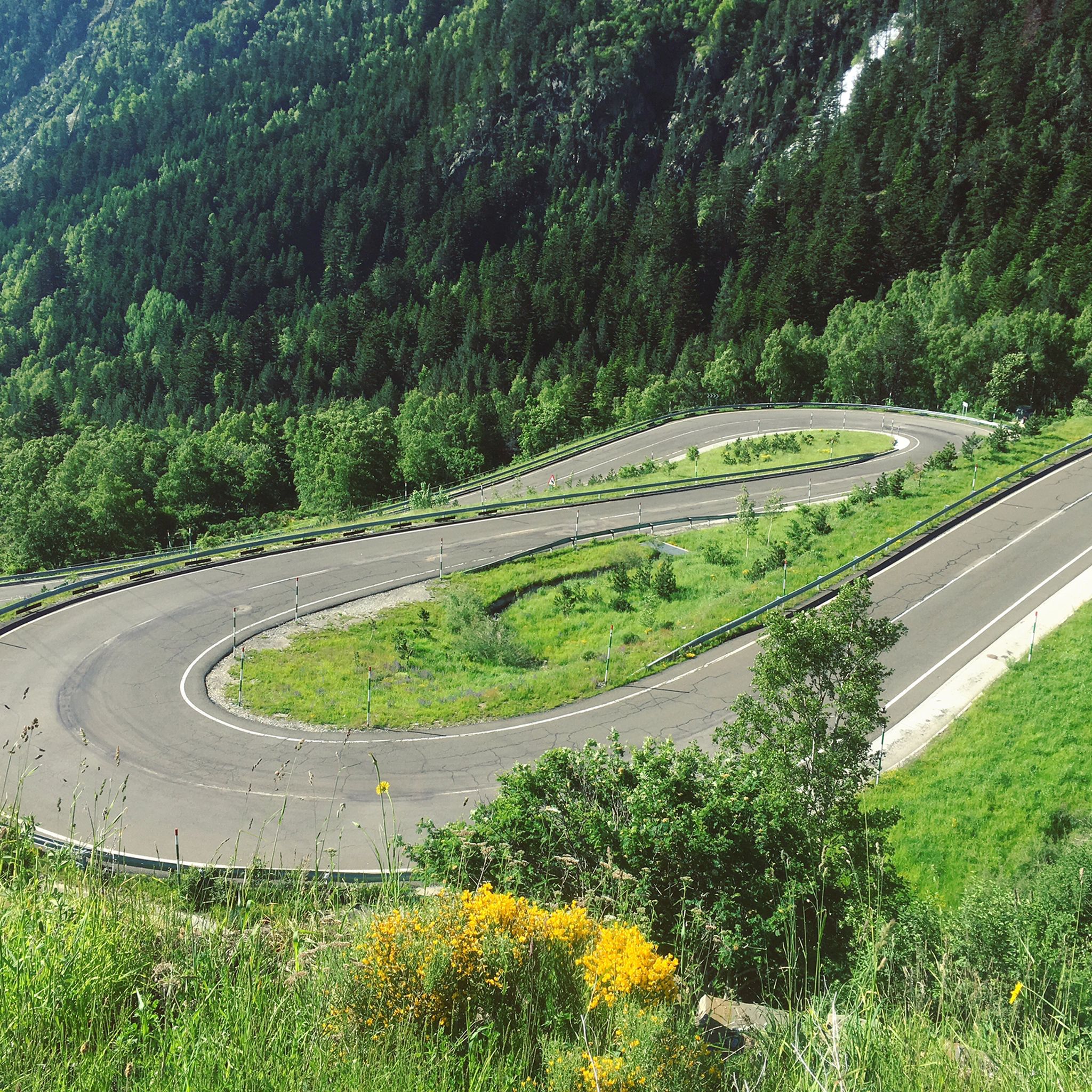
Road Cycling Routes in Alt Pirineu
Running Trails in Alt Pirineu
MTB Trails in Alt Pirineu
Other adventures in Alt Pirineu


Tips from the Community

The highest peak in the Catalan Pyrenees is well worth the visit, although you have to earn it as it is a long route with considerable elevation gain to overcome.
0
1

Fantastic panoramic view all around, this summit is worth it, see my two panorama photos. Ascent from Estany de Sotllo via Pass. Took the partly exposed scrambling/climbing ridge via Pic Verdaguer. Nice scrambling, you just have to be careful to stay on the right track. Descent all around the summit, then to the same pass and down along the same beautiful mountain lakes and via Valferrera hut into the valley. The length and roughness of this path really surprised me. Luckily I didn't ascend from the hut. Especially the path along the mountainside, some way above the hut, was challenging. Again and again there are small counter-ascents over rocky tops and at some point I was on a side path below the main path, which then ended in bushes. After a short climb, everything went well again.
1
0

The Cabús Pass is a mountain pass that crosses the Pyrenees at 2,302 m above sea level. It is located on the border between Andorra and Spain, between the parish of La Massana and the municipality of Alins. Only the Andorran side is paved. From Alins, in the High Pyrenees, the climb is impressive and involves paths and trails that are not always in good condition.
0
0

Compared to Pica d'Estats, this is a lesser-known mountain, but its views, especially to the west, are outstanding and worth every meter of elevation gain. When ascending from the French side, there is easy climbing (T4+) below the summit. From the Spanish side, it appears easier if you don't take the path to Pica d'Estats, but instead take a path marked on the map further to the left.
1
0
The small secondary peak of the Pica d'Estats. If you've made it to the gap between the two, you should also take this peak. An additional 3000m peak for free (if you don't take the 30m gap height too seriously 😉).
2
0
The summit can be reached from several sides. The direct route from the Spanish side to the summit ridge is demanding (I estimate T5 according to the SAC scale). However, you can "cheat" by first crossing to the north side via the pass, then you have to descend a bit and then you reach the path from the French side. The technically easiest ascent is certainly from the north via the Refuge du Pinet (T3). However, from the car park at L'Artigue, it is a total of around 2000 meters in altitude gain, which is why an overnight stay in the refuge is also a good idea (in October 2024, a winter room was open, €8 per night). I opted for the 3rd variant, from the Étang de Soulcem. From there, it is "only" 1500 meters in altitude gain with a difficulty of T3+/T4-. Although I chose a variant on the ascent (see my tour) that is not on the map and which I would rate as T4+.
3
0
Great viewpoint summit with an unusual "wooden summit cross". Less well known than the Estats, but no less worthwhile. Caution! From the French (northeast) side / Refuge du Pinet, the ascent in the last part below the summit is steep and demanding (T4 +) with easy climbing. From the Spanish side, the path from the first lake directly to the summit (i.e. not to the pass between Sotllo and Estats) is easier. In contrast to the Pica d'Estats, which is much easier to reach from the north / Refuge du Pinet via the pass between Eststs and Montcalm than from the Spanish side. From the Sotllo you can see all the ascent routes very well.
1
0

Port de Cabús is a mountain pass on the border between Andorra and Spain, known for its stunning scenery and appeal for hiking, cycling, and other mountain activities. Being on the border, Port de Cabús has particular significance, as it has historically been used as a cross-border crossing for trade and, in more recent times, as a less conventional route to cross between Andorra and Spain. Although the pass itself has no formal border control, it is important to carry documentation when crossing from one country to the other.
0
0
Frequently Asked Questions
Which mountain peaks in Alt Pirineu are considered the most challenging for mountaineers?
The most challenging peaks in Alt Pirineu are generally those in the Montcalm massif, particularly Pica d'Estats. As the highest peak in Catalonia at 3,143 meters, its ascent is long and demanding, rewarding hikers with extensive panoramic views. It's also part of the "100 peaks" challenge of the Federation of Excursionist Organizations of Catalonia (FEEC).
Are there any peaks in Alt Pirineu that offer exceptional panoramic views without requiring a high-altitude ascent?
Yes, Torreta del Orri, located at 2,439 meters, is an excellent choice. It offers magnificent views of the entire Pallars region, including Pica d'Estats, Cadí, Montserrat mountains, and the Aragonese Pyrenees, making it accessible for those seeking breathtaking scenery without attempting the highest peaks.
What natural features can I expect to see when visiting the mountain peaks in Alt Pirineu?
The Alt Pirineu Natural Park is characterized by diverse natural features. You'll encounter alpine landscapes, deep valleys carved by ancient glaciers, and numerous glacial lakes, including Certascan Lake, the largest natural lake on the southern slopes of the Pyrenees. The higher peaks like Pica d'Estats often retain year-round snowcaps.
What kind of wildlife can be spotted around the mountain peaks of Alt Pirineu?
The diverse ecosystems of the Alt Pirineu Natural Park support a rich array of wildlife. Visitors might spot endangered species such as the brown bear, otter, and bearded vulture. The park also hosts the largest wood grouse population in the Iberian Peninsula, making it a significant area for wildlife observation.
Are there specific hiking trails recommended for reaching the highest peaks in Alt Pirineu?
For those aiming for the highest peaks, the Hiking in Alt Pirineu guide features routes like the Pica d'Estats via Vallferrera Trail, which is a difficult but rewarding option for reaching Catalonia's highest point. Many high-altitude routes are demanding and require good physical condition.
What is the best time of year to hike the mountain peaks in Alt Pirineu?
The best time to hike the mountain peaks in Alt Pirineu is typically during the warmer months, from late spring to early autumn (June to September), when trails are generally free of snow and weather conditions are more stable. However, conditions can change rapidly in high mountains, so always check forecasts.
Can I find easy or family-friendly hikes near the mountain peaks in Alt Pirineu?
While many peaks are challenging, the region also offers easier options. For family-friendly hikes, you can explore routes listed in the Easy hikes in Alt Pirineu guide, such as the Montgosso Itinerary or the Sant Martí Church of Borén – Arreu loop. These provide a taste of the Pyrenean landscape without extreme difficulty.
What is the significance of Pic Verdaguer and Punta de Gabarró in relation to Pica d'Estats?
Pic Verdaguer (3,133 m) and Punta de Gabarró (3,114 m) are integral parts of the Montcalm massif, forming the western and eastern extensions of Pica d'Estats. Climbers often summit these peaks in conjunction with Pica d'Estats, allowing them to experience multiple high-altitude summits and diverse perspectives of the Pyrenean landscape within a single effort.
Are there any mountain passes in Alt Pirineu known for their scenic beauty?
Yes, Port de Cabús is a notable mountain pass that crosses the Pyrenees at 2,302 meters above sea level. It is particularly known for its spectacular panoramic views of Andorra, making it a popular spot for scenic drives or cycling.
What other outdoor activities can I do near the mountain peaks in Alt Pirineu?
Beyond peak bagging, the Alt Pirineu region offers a variety of outdoor activities. You can explore numerous waterfall hikes, or delve into the broader network of hiking trails that traverse the park's diverse landscapes, from glacial cirques to pristine lakes.
What makes the Alt Pirineu Natural Park a unique destination for mountain enthusiasts?
The Alt Pirineu Natural Park stands out as the largest natural park in Catalonia, offering a unique combination of high peaks, deep valleys, and numerous glacial lakes. Its unspoiled landscapes, rich biodiversity, and opportunities for challenging ascents and scenic views make it a rewarding destination for those seeking an authentic Pyrenean mountain experience.
Most popular routes in Alt Pirineu
Most popular attractions in Alt Pirineu

Get inspired with the komoot mobile app


Explore more
See even more amazing summits in Alt Pirineu with these guides:
